
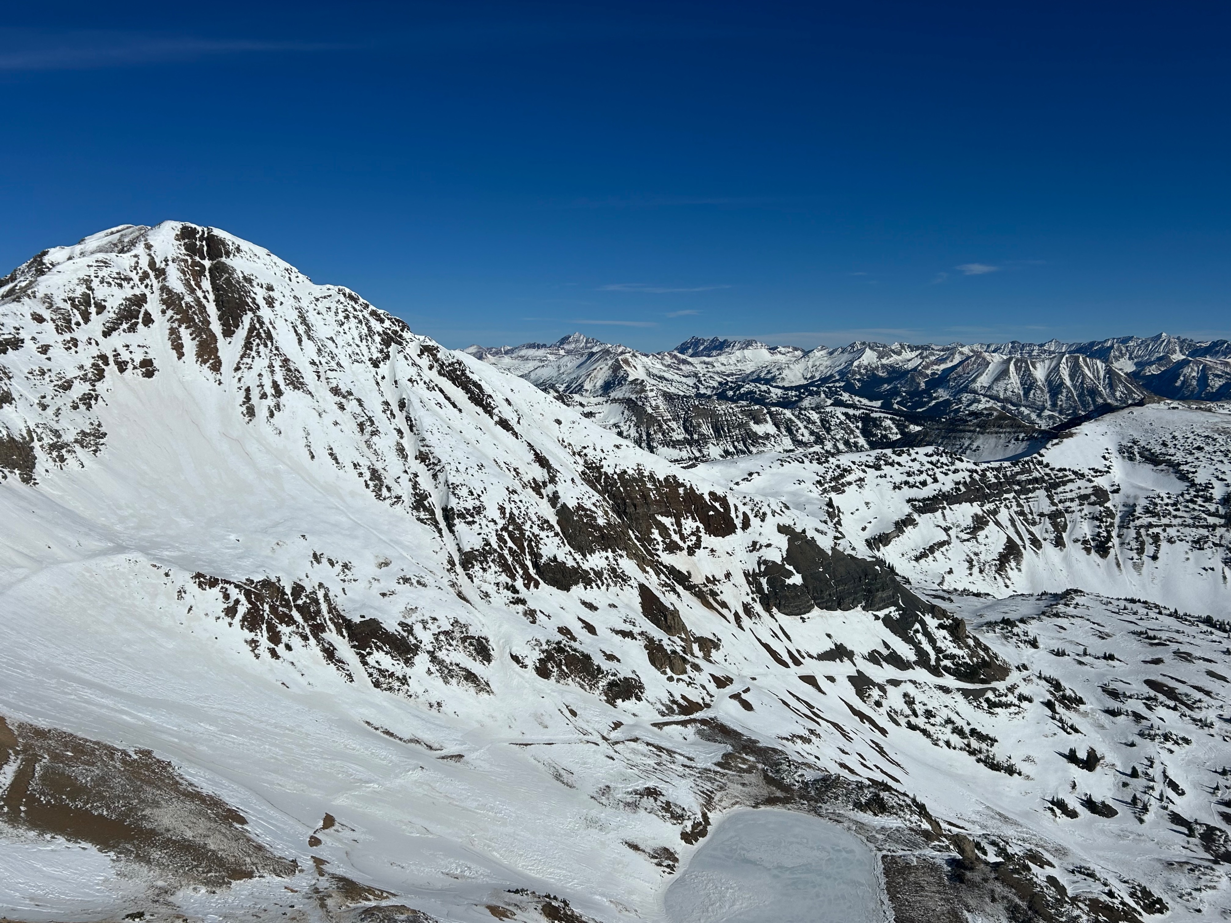
Quick report
Incoming snow later this week should bond favorably to south and southwest aspects, which have an almost spring-like snowpack structure (albeit much thinner). Southeast aspects above treeline are transitional and more worrisome: crusts become thinner and potentially collapsible over facets on the colder half of southeast (from ~135° to 115°). We skied a south-facing slope around 11:00 a.m. and found some nice spring corn/mashed potatoes.
Weather
- Air Temp
- Warm
- Cloud Cover
- clear
- Wind Loading
- none
- Recent Snowfall
- 0
- Snow Avail For Transport
- none
Snowpack
On south-facing terrain N/ATL, wet forms go through most or all of the snowpack, and the snow surface is often textured. I didn't find any concerning PWLs on south aspects. On southeast aspects ATL, there are dry facets below surface crusts. A pit on a SSE aspect (155°) showed a relatively thick crust (5cm) above facets, with one or two thin ice lenses in the facet layer from recent meltwater. A quick handpit showed a much thinner crust (<1cm) on an ESE aspect.
Avalanche
Just a few rock falls as the day warmed up.