
Quick report
- Aspect
- South
- Elevation
- 2774 m
- Slope Angle
- 25°
- Red Flags Comment
- <p>None in this area, by design. I avoided upper elevation exposed areas where I skied the last 2 days.</p>
HS=115 cm.
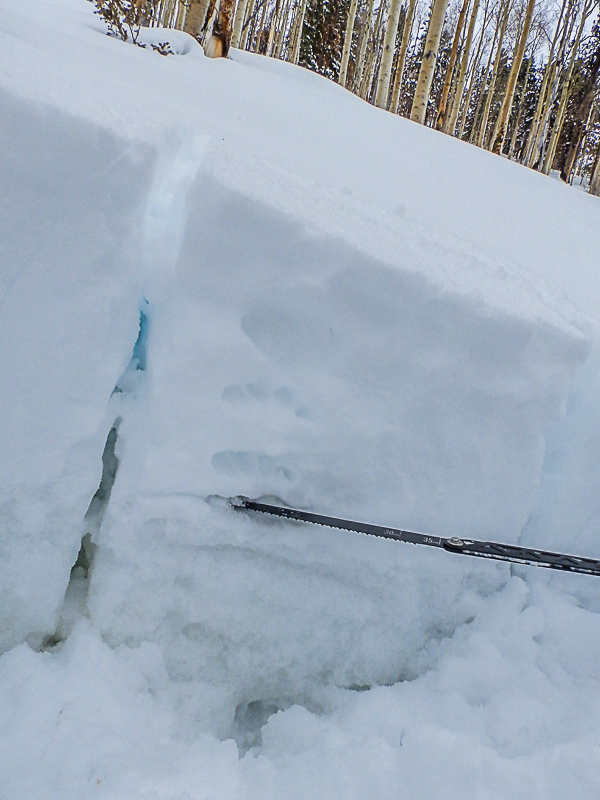
HST = 40 cm sitting on a solid base of frozen melt forms, it looks like the rain permeated all the way to the ground. Interface at the snow saw.
ECTN, photo below.
I went to this area to avoid the hazard and wallow that I found at higher elevations during the last 2 days. Overall there is a low hazard in this area but this would not be the case in any area that contains wind drifted snow. I would still base the overall hazard for upper elevation areas based on what I observed during the last two days.
Low danger in sheltered areas below 9,500 and considerable danger above 9,500.
Snowpack
- Instability Comment
- <p>None in this area, being 1-3,000 feet lower than the high peaks makes a huge difference!</p>
Trace new snow today. 14-16" storm snow sitting on a solid base of frozen melt forms.