

Quick report
Winds were generally light today, however there was evidence of wind transport down to 7800'. Winds created small pillows and dunes in open meadows while stripping ridgelines at higher elevations. No signs of instability were noted in wind-loaded areas, but the hollow feeling of wind-packed snow was noticeable. Expect wind-blown snow to become problematic as wind speeds and precipitation totals increase.
We did not notice any signs of instability.Weather
- Cloud Cover
- obscured
- Wind Loading
- light
- Recent Snowfall
- 10
- Snow Avail For Transport
- moderate amounts
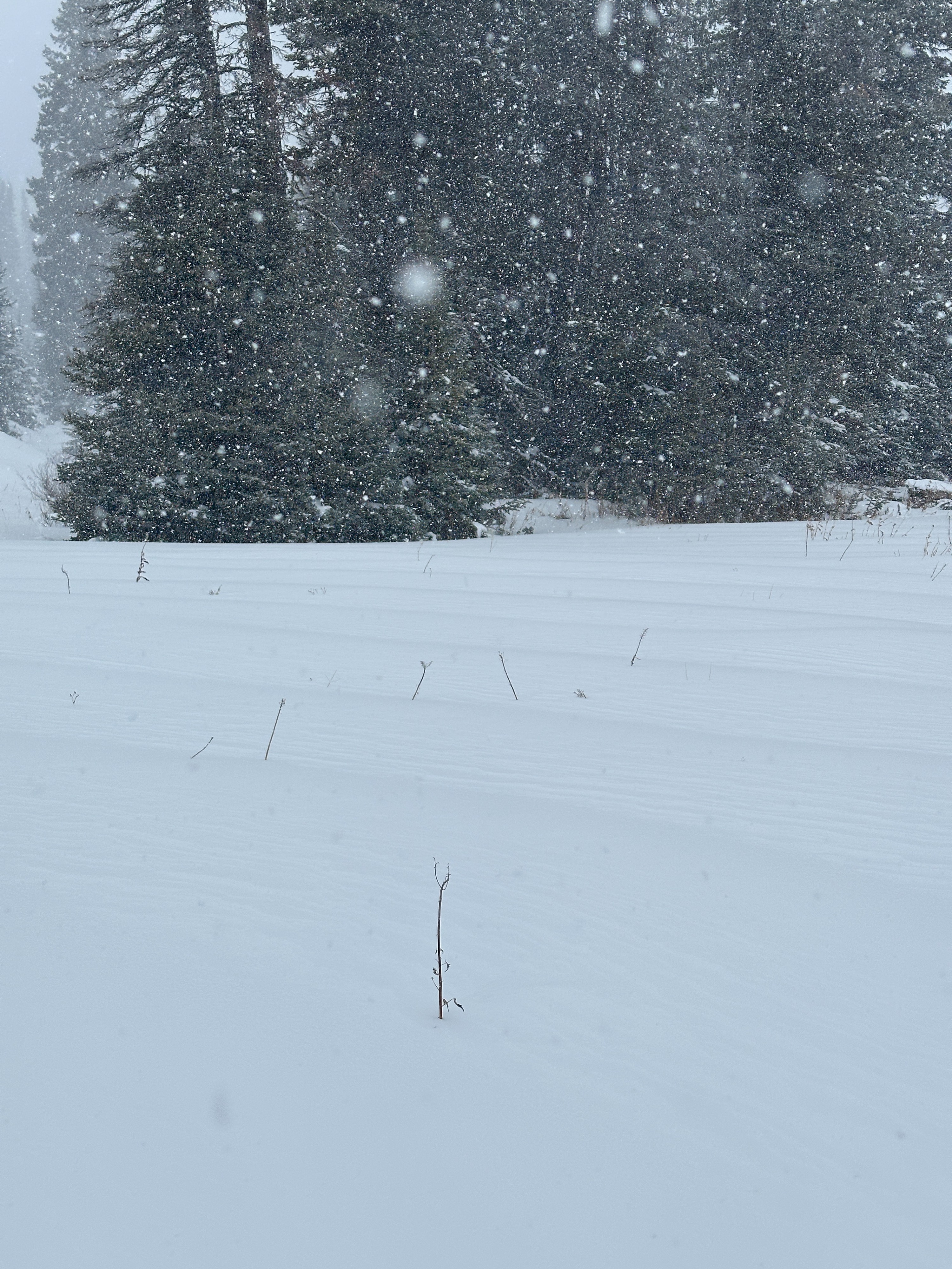
Snowfall persisted throughout the ride with consistent S1 (~ 1/2 inch/hour) rates from 11:00 to 14:00. Precipitation tapered down in the afternoon. Southwest winds were light with occasional moderate gusts. Temperatures were in the mid-20s F throughout the day.
Snowpack
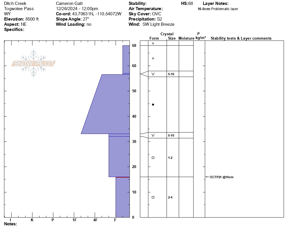
Dug into a northeast-facing slope at 8500' in Ditch Creek. Multiple weak layers are present in the snowpack - two layers of surface hoar and layers of weak faceted snow near the bottom of the snowpack. Pit tests yielded an ECTP 21 - 52 cm down between two facet layers (see pit below). One layer of surface hoar is buried 11 cm down and currently unreactive, though it does not have any significant weight on top of it. The general structure of the snowpack is thin and poor. We were unable to find an area where the snowpack was deeper than 1 meter. The incoming precipitation and wind will put this weak snow structure under a lot of stress. Carefully monitor the snowpack as the new snow load increases this weekend.