
Weather
- Cloud Cover
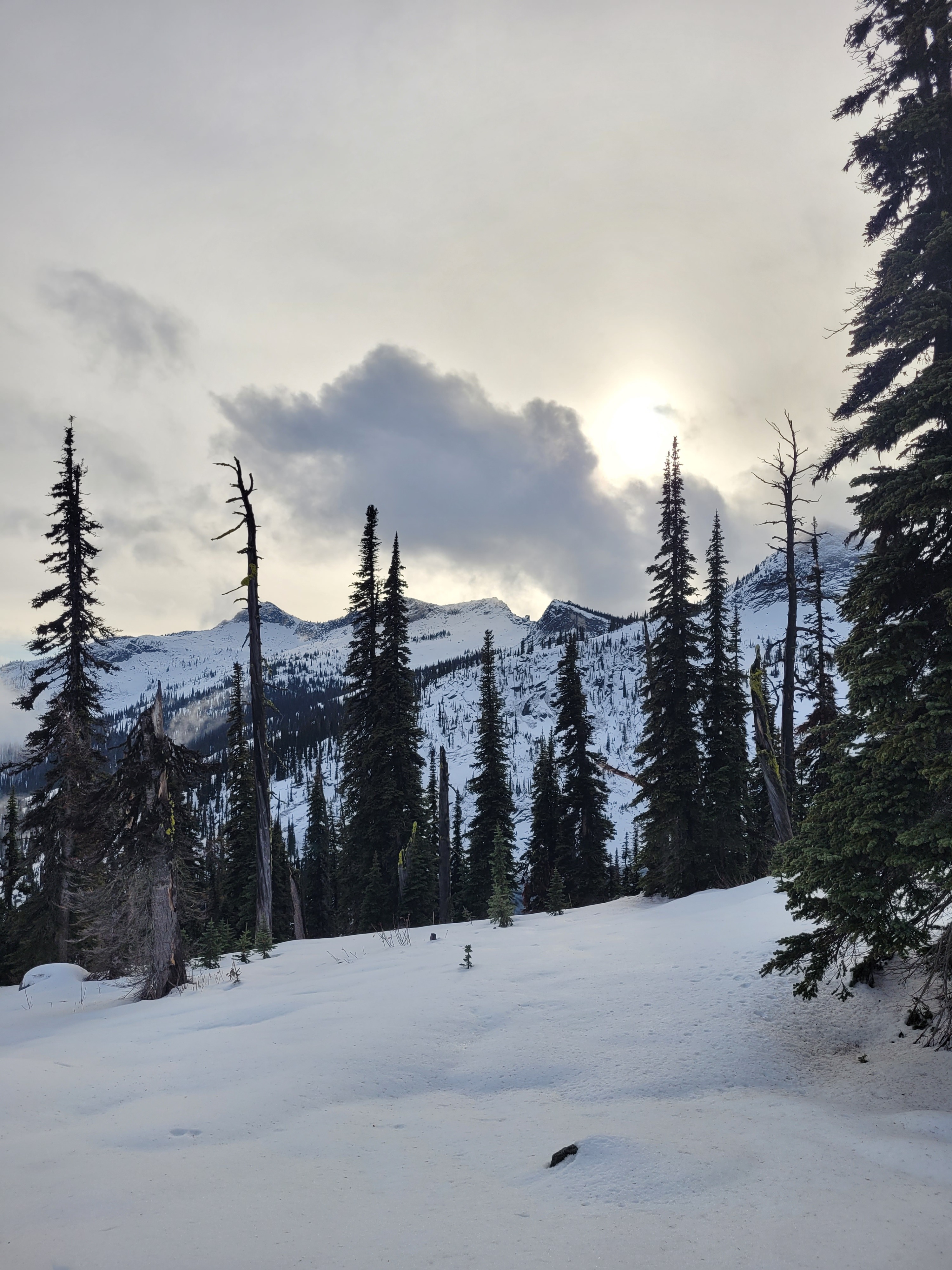
- broken
- Wind Loading
- none
- Snow Avail For Transport
- none
A light mist of rain mid-day with with calm to light winds and broken sky cover in the early afternoon.
Snowpack
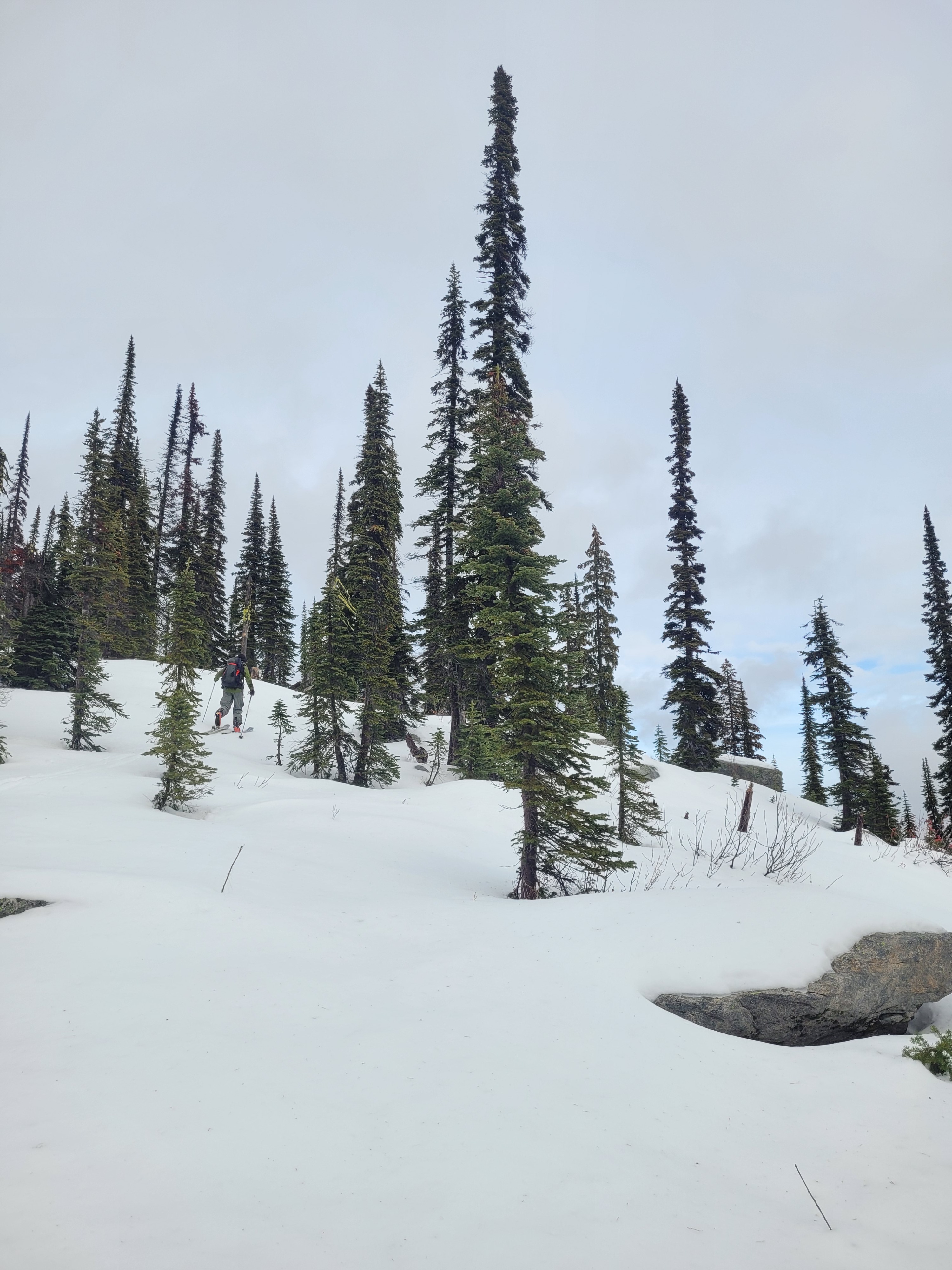
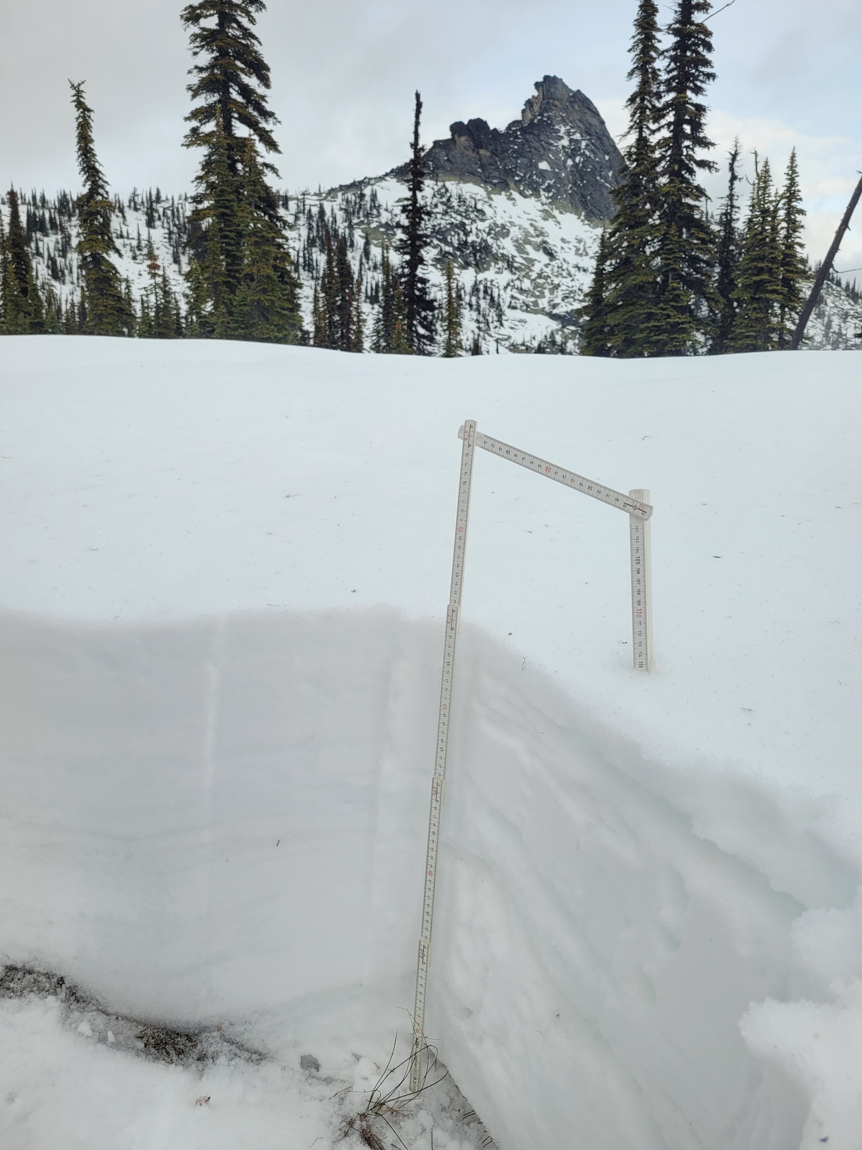
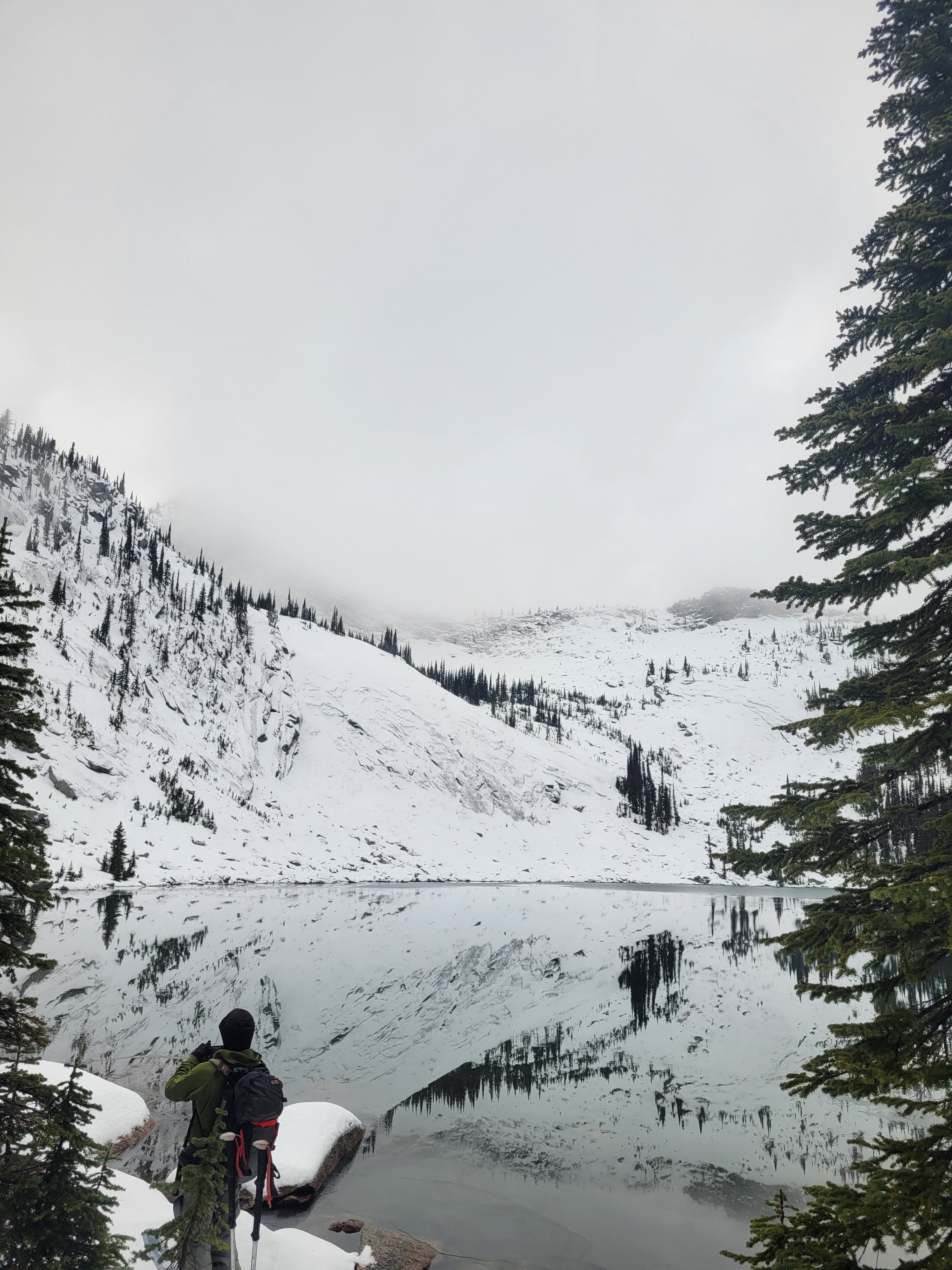
Consistent snow coverage on the ground started around 5000 ft. Snow surfaces were wet to moist with a 1cm thick crust just below the surface. Snow depths steadily increase to 60cm (~2ft) up to our 6,500 ft high point. A notable transition currently exists towards a drier, yet still moist, snowpack in this 1,500 ft elevation difference. Foot and ski snowpack penetration while traveling was minimal, ~5cm, offering surprising vegetation coverage for this time of season.
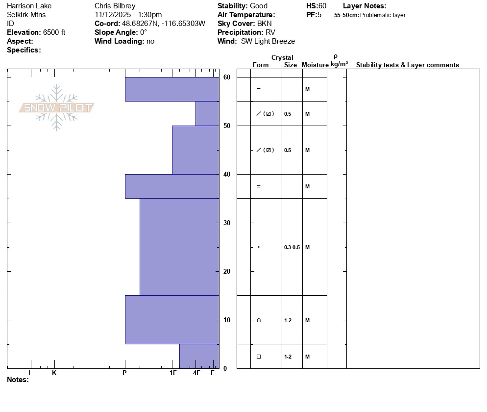
At 6,500 ft, we observed a moist top 5 cm with dry to moist snowpack to the ground. A mix of small moist early stage facets, 4F hard, snow grains were observed in the top 20cm of the snowpack. At this location, the bottom half of the snowpack had 1 Finger to Pencil hard small rounded grains.
Avalanche
None observed