
Quick report
- Cracking
- specific
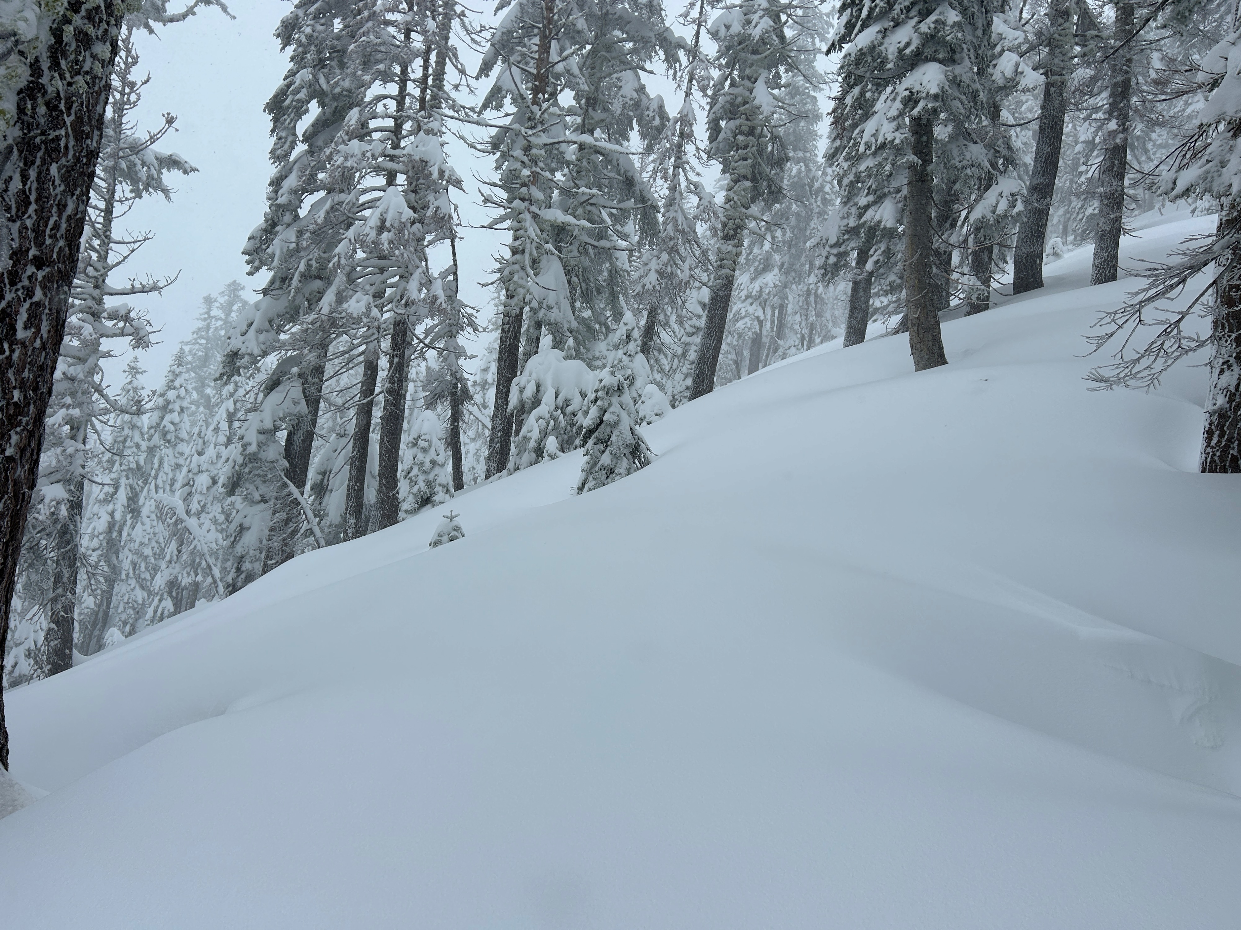
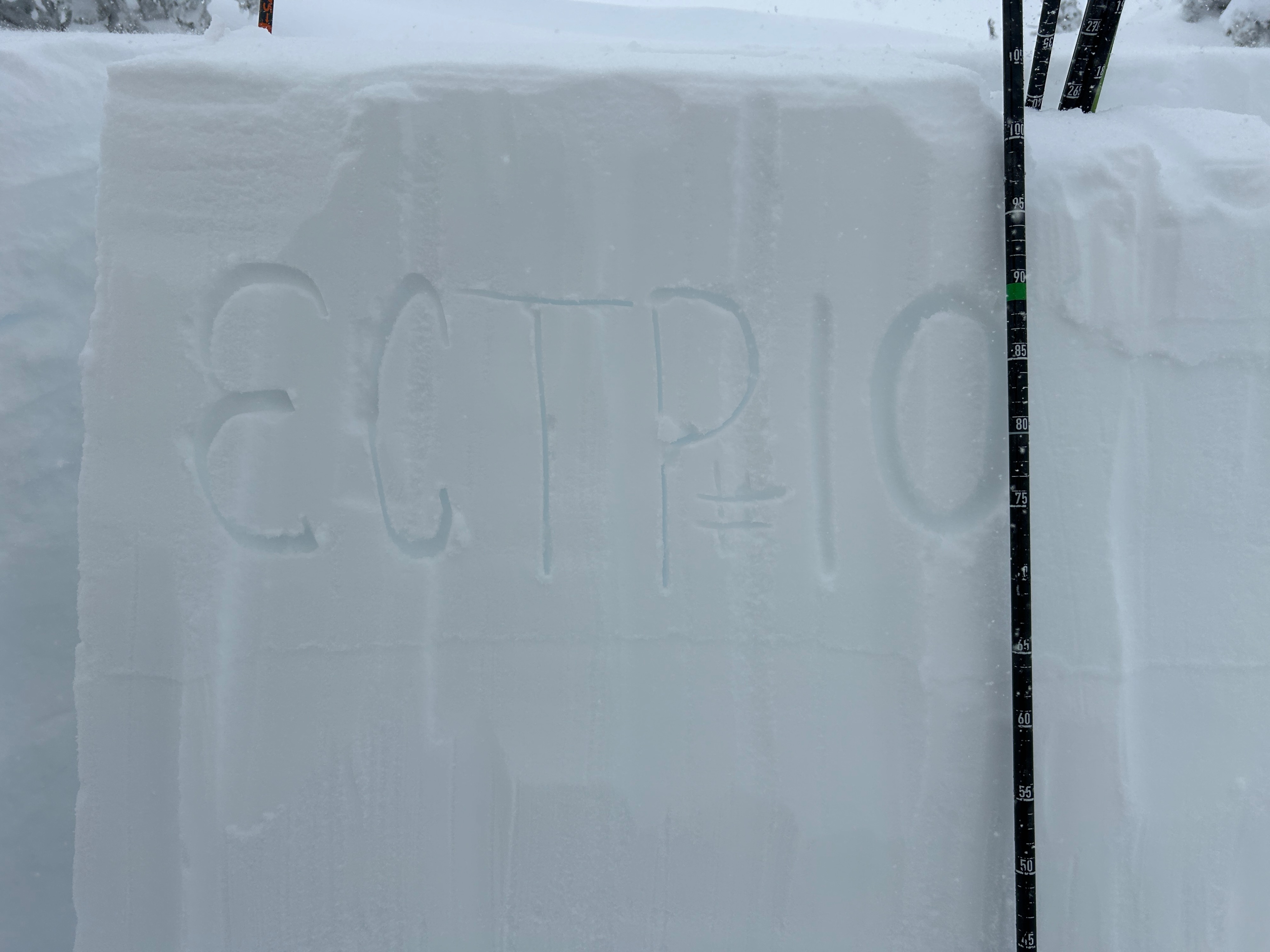
Other than it snowing and blowing a lot, the only obvious signs of instability were minor cracking within the new snow. These cracks, along with an unstable ECT result (see snowpack section for details), told us the recipe for an avalanche exists but is fairly stubborn on slopes less than 35 degrees.
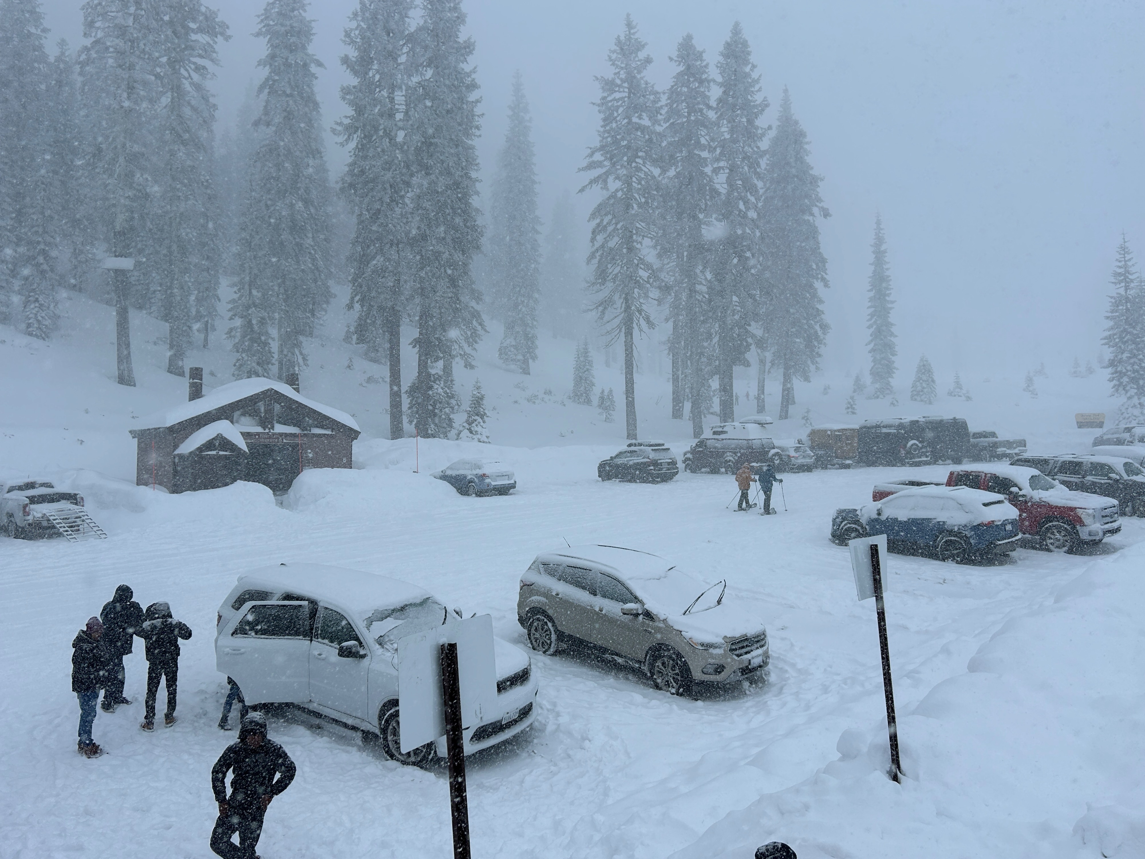
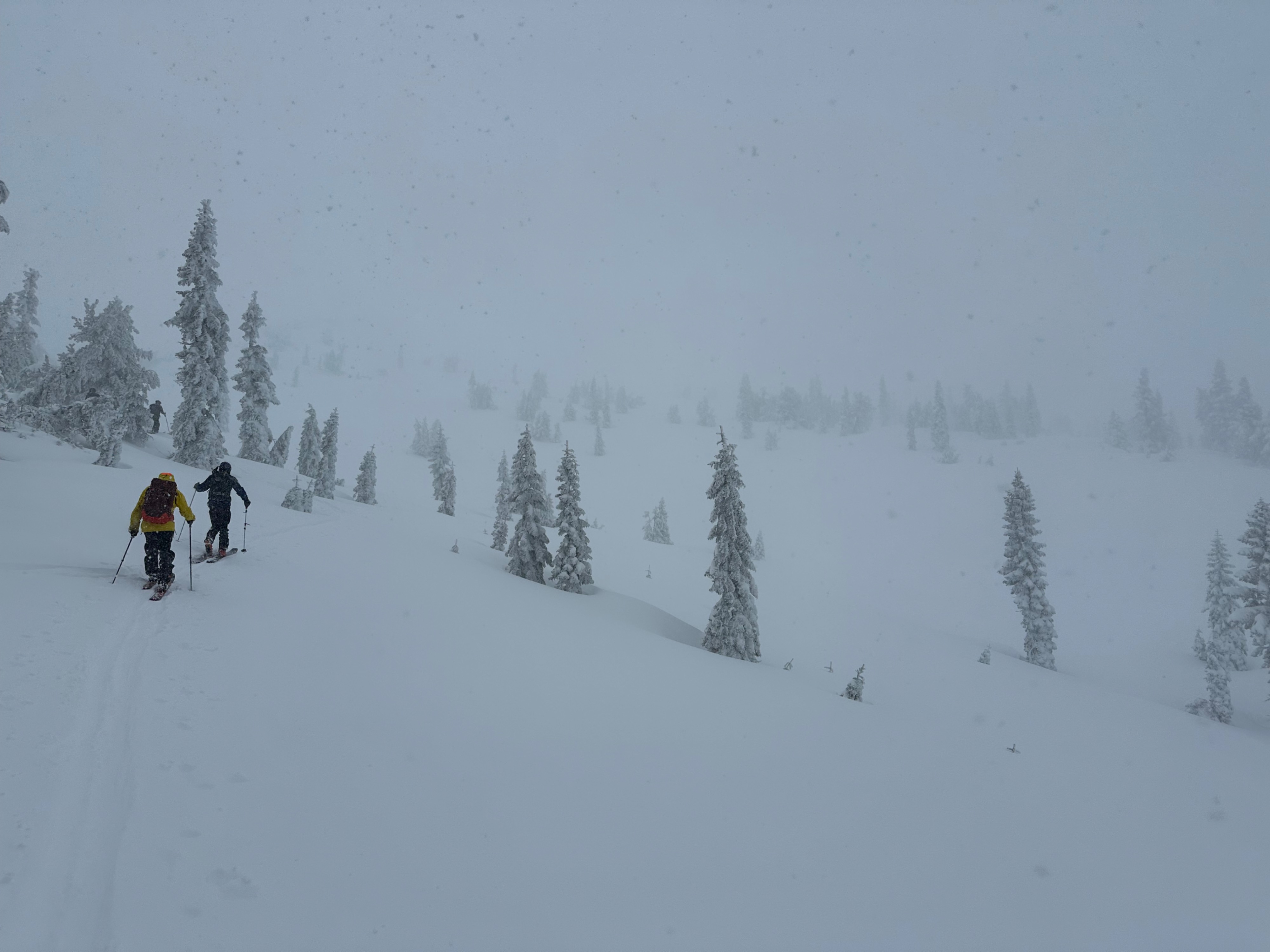
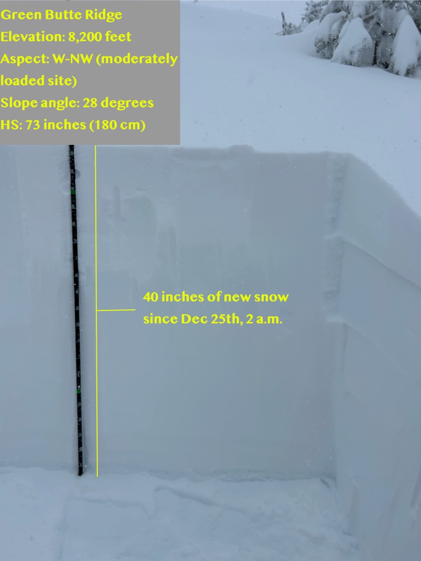
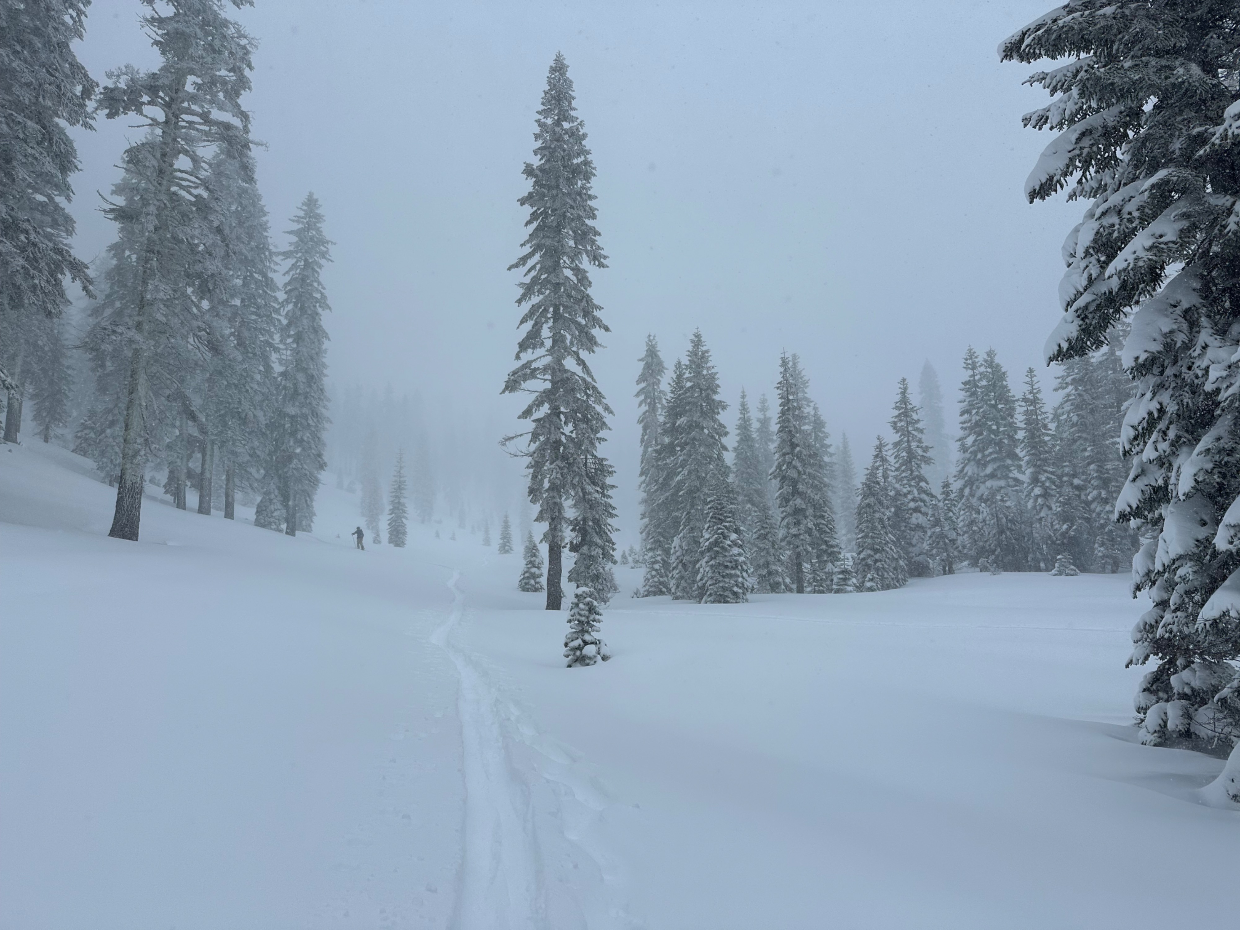
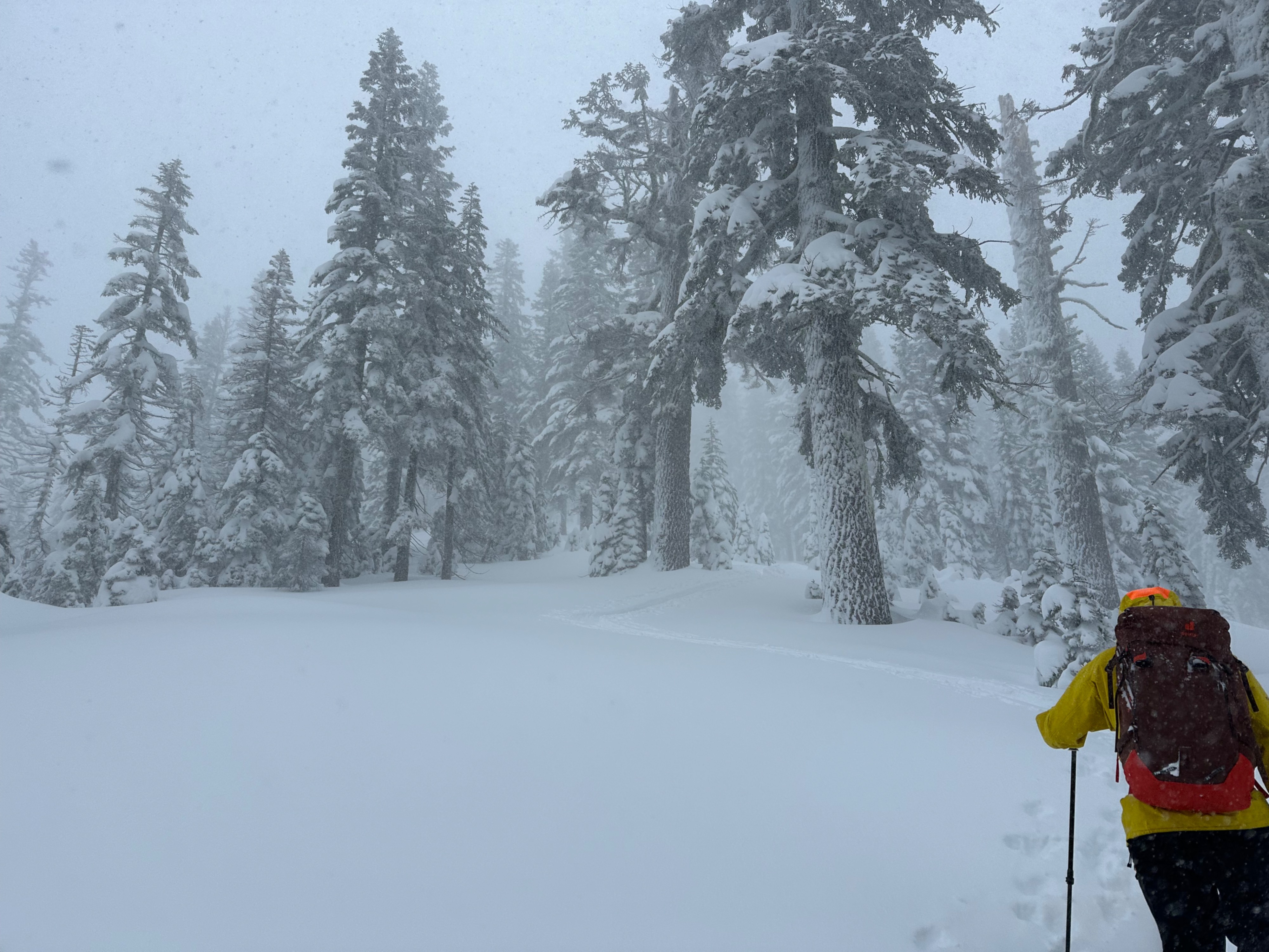
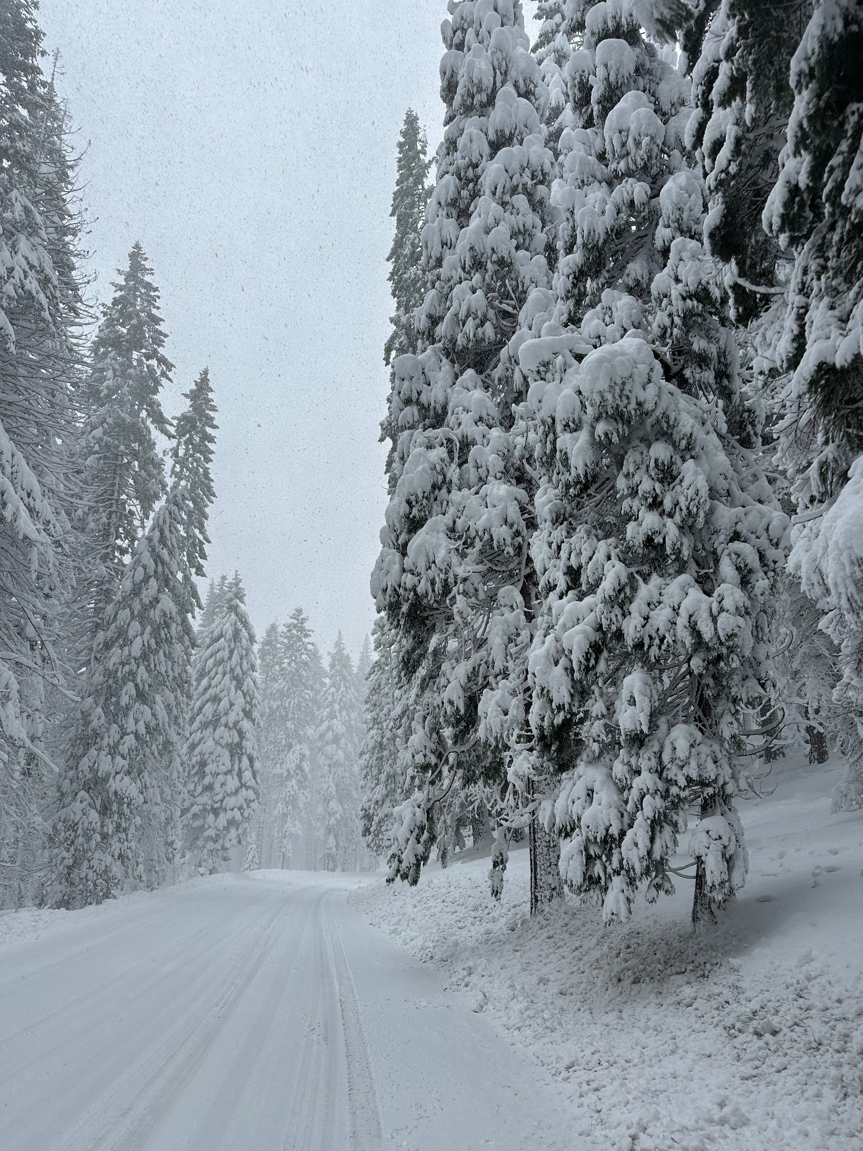
I’ll go ahead and say it—Mount Shasta has gone from ZERO to HERO in snow totals over the past 36 hours. Since early yesterday morning (December 25th), the snowpack near treeline has accumulated 40 inches of new snow and counting. Conditions have drastically improved across all aspects and elevations, though more snow below treeline wouldn’t hurt. Blowing snow and wind deposited snow were observed below treeline and in timbered areas. Soft, right-side-up snow made for supportable conditions on both boards and machines, though buried objects still warrant caution. Snow fell at a rate of S2-S3 throughout the field visit. Observations above treeline were limited due to low visibility and stormy weather.
Minor cracking within the storm snow in wind deposited locations and along protected convex features.Weather
- Air Temp
- 23
- Cloud Cover
- obscured
- Wind Loading
- moderate
- Rain Elevation
- 3,200
- Recent Snowfall
- 40
- Snow Avail For Transport
- large amounts
Snowy conditions persisted throughout the tour. South and southeast winds blew at light to moderate speeds, temperatures remained below freezing, and the sky was overcast.
Snowpack
STABILITY TEST
- ECTP10 ~ down 35 cm (12 inches) failed on a density change within the new storm snow (See photos)
SNOWPACK
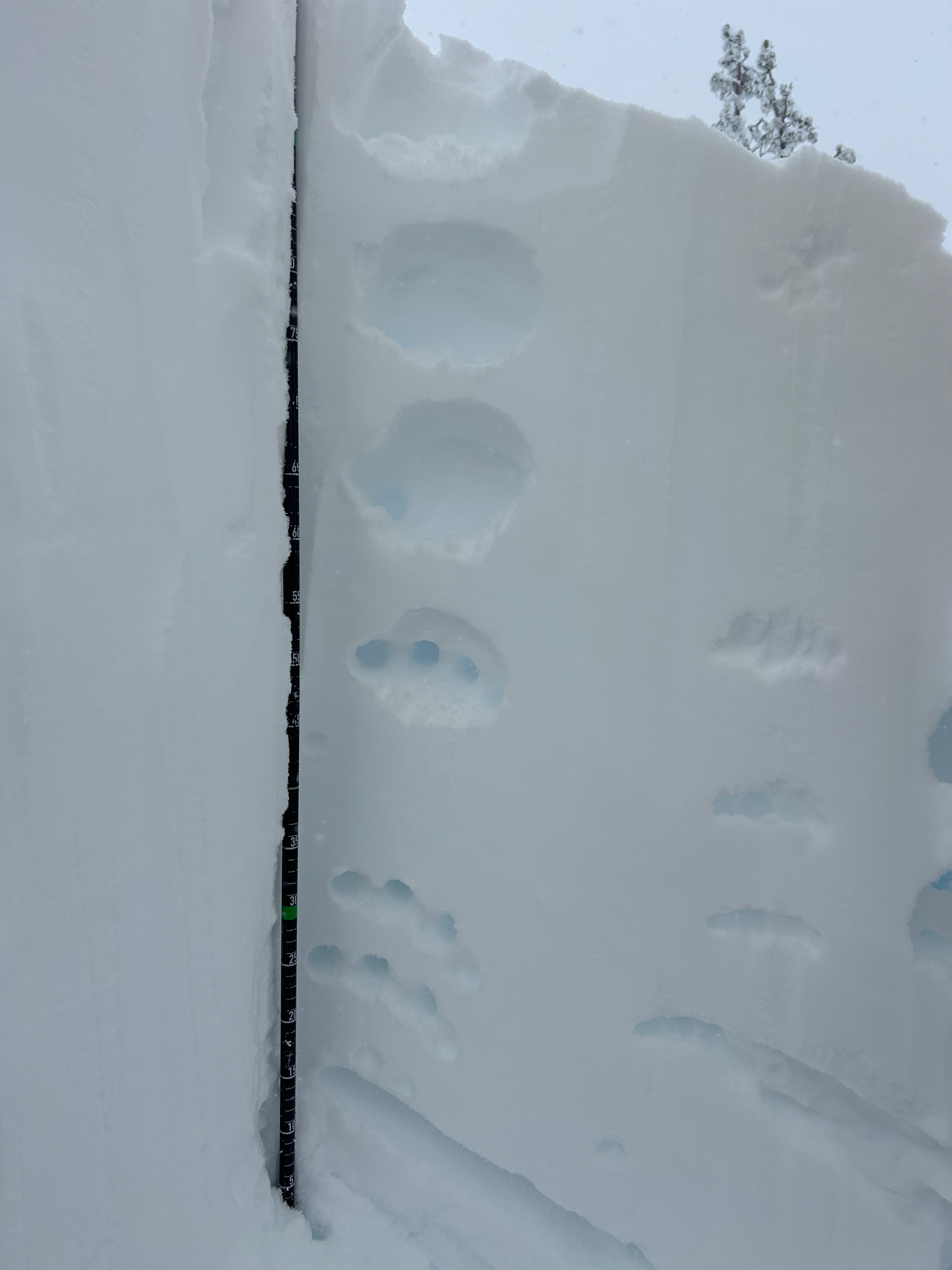
- 70 inch total snow depth
- 40 inches of new snow since yesterday, December 25th, begining at 2 a.m.
- Right-side-up snowpack structure (see photos)