
Quick report
- Cracking
- specific
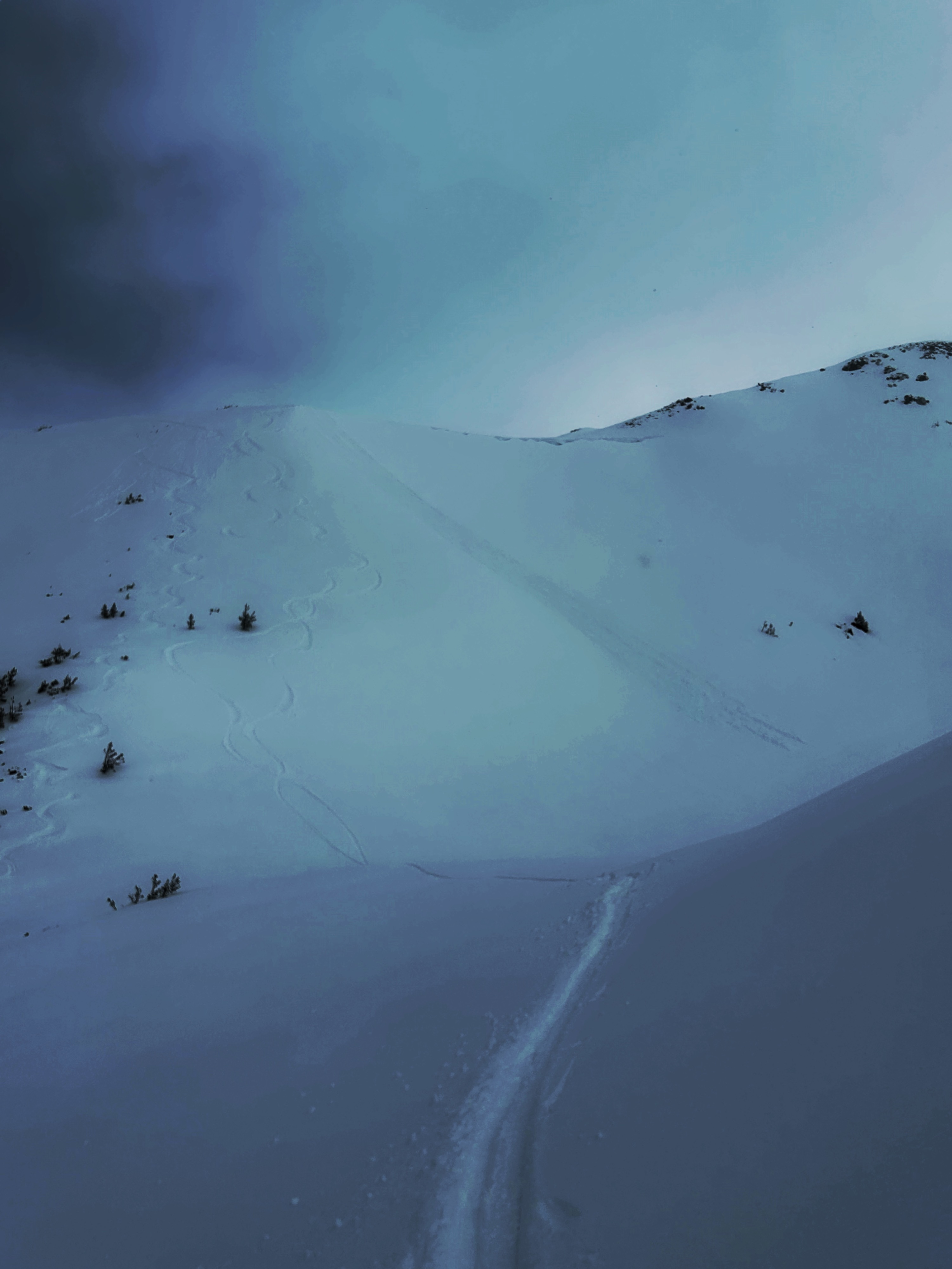
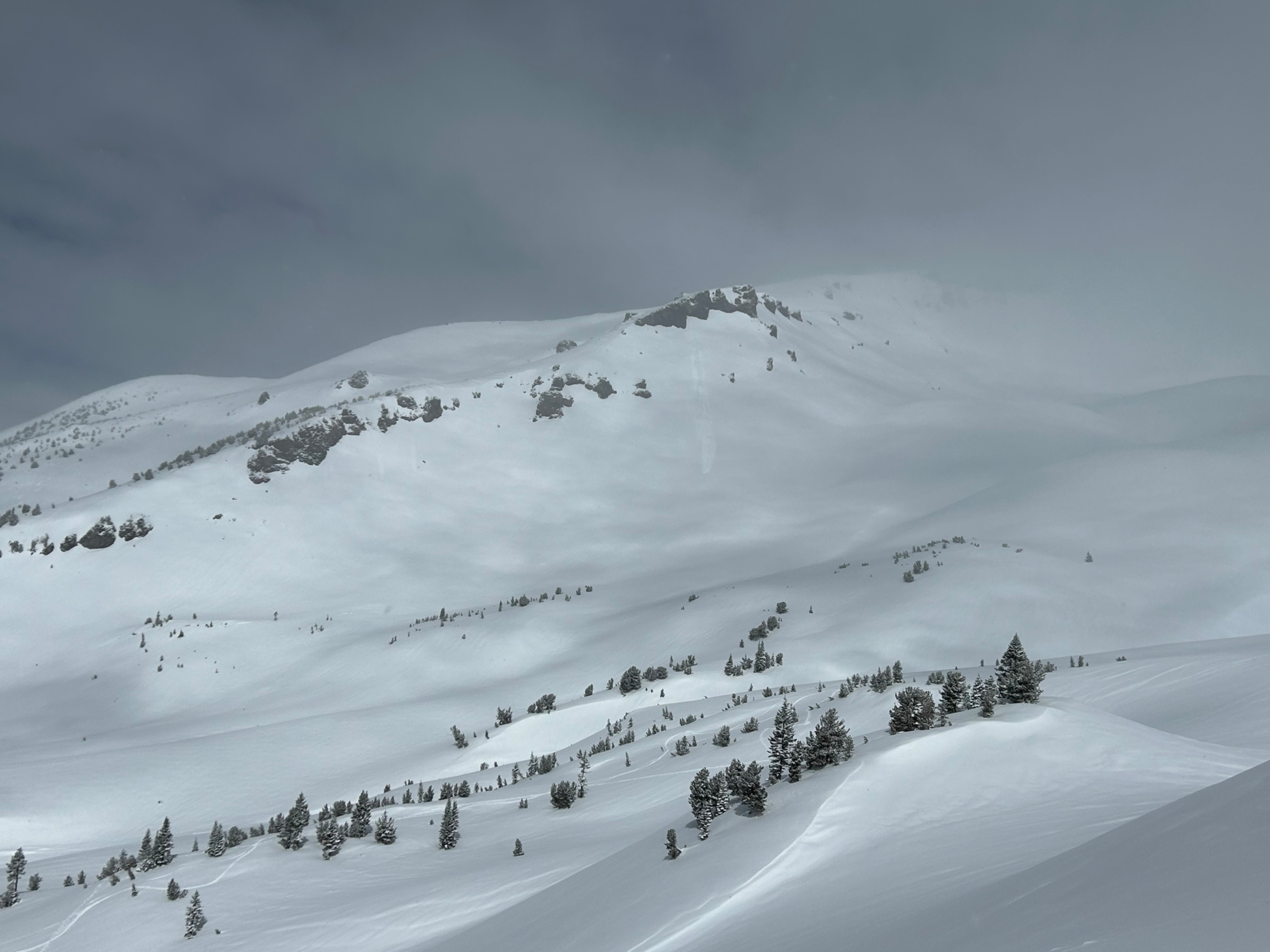
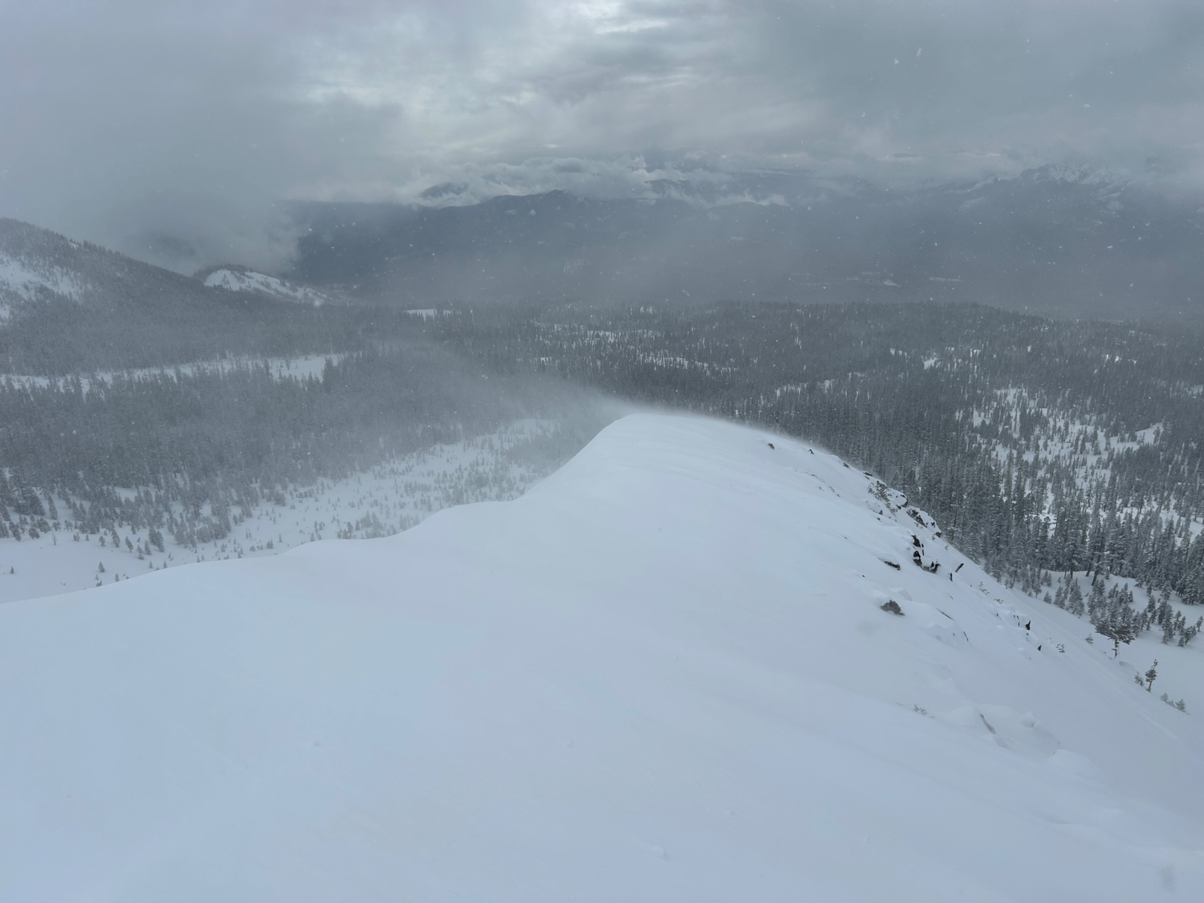
Snow has returned to the forecast zone, bringing new surface instabilities. Natural wet-loose point releases were observed off lower Casaval Ridge and Powder Bowl, all D1 or smaller. From atop a ridge, multiple wet-loose point releases were easily triggered onto east and south aspects by ski stomps. Northwest winds were actively loading and blowing snow onto south and east aspects for the majority of the day.
So why is dry powder snow showing wet-loose avalanche activity? Forecasters attribute this to a strong greenhouse effect and solar warming on leeward aspects, while windward aspects remained cool and dry due to wind chill.
Natural wet-loose point releases were observed off lower Casaval Ridge and the top of Powder Bowl. All D1 or smaller. Localized cracking in newly wind drifted snow atop ridgelines.Weather
- Air Temp
- 27
- Cloud Cover
- broken
- Wind Loading
- moderate
- Recent Snowfall
- 14
- Snow Avail For Transport
- moderate amounts
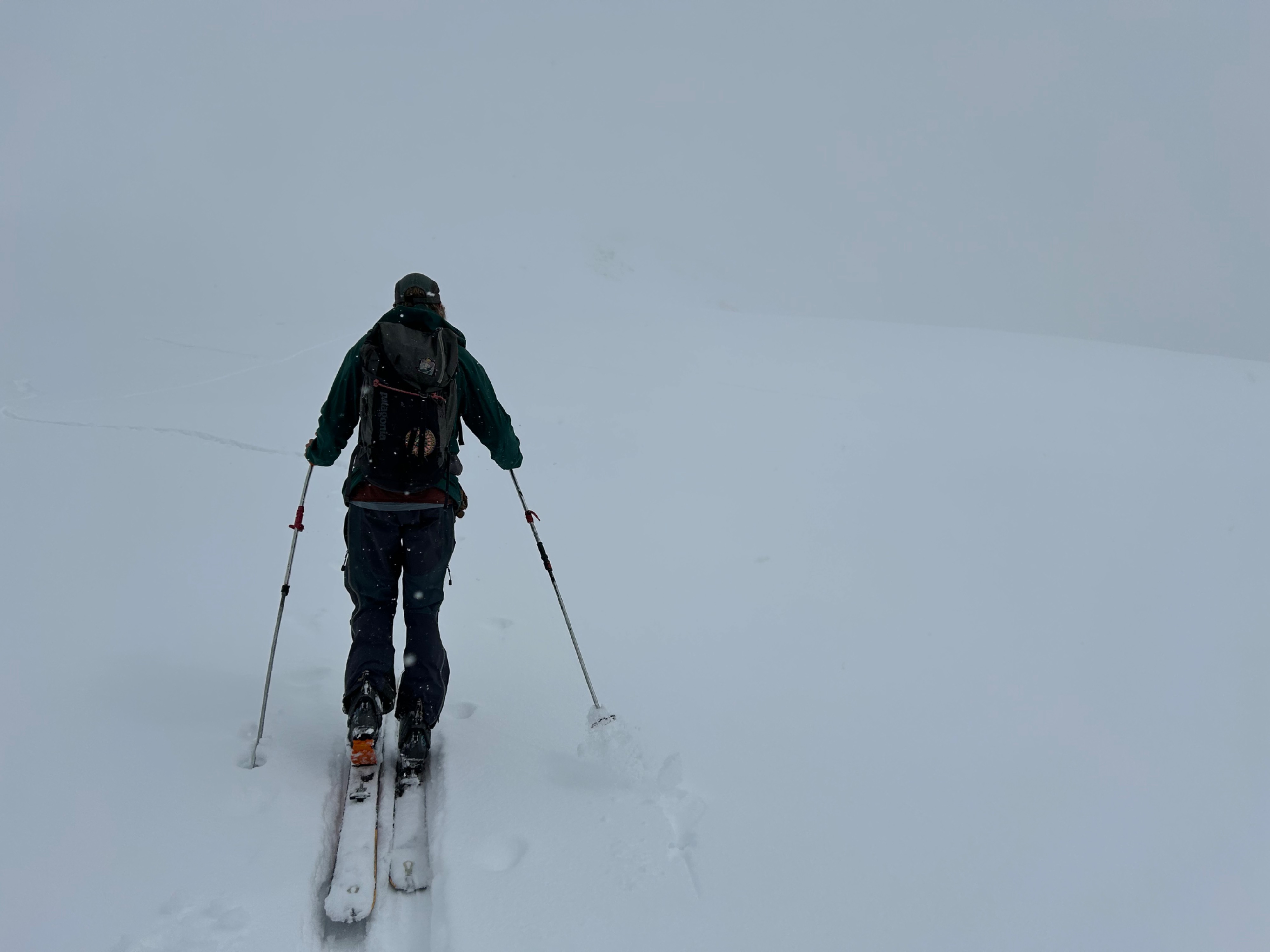
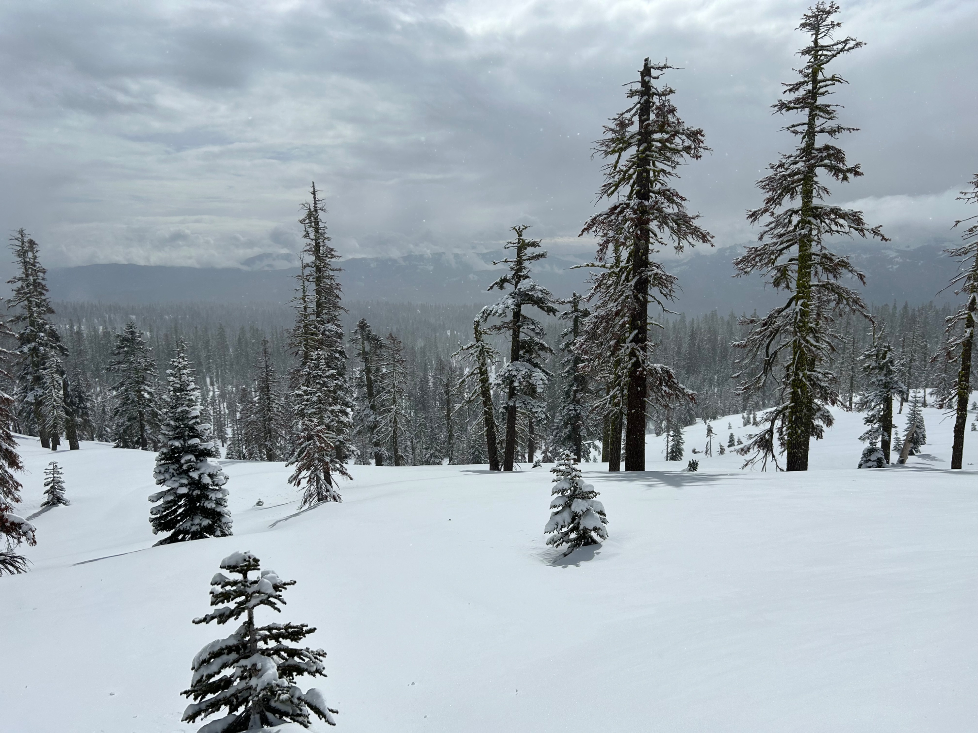
Stormy weather with poor visibility gradually cleared throughout the day, with brief periods of sunshine. Active northwest winds blew at light to moderate speeds, and temperatures remained below freezing.
Snowpack
On average, five to seven inches of new snow has fallen on Mount Shasta, with locally deeper amounts in drifted areas.
A layer of graupel exists between the old and new snow interface. This was observed on west, south, and east aspects at all elevations. The new snow seems to be bonding moderately well to the old snow interface, considering the graupel.