
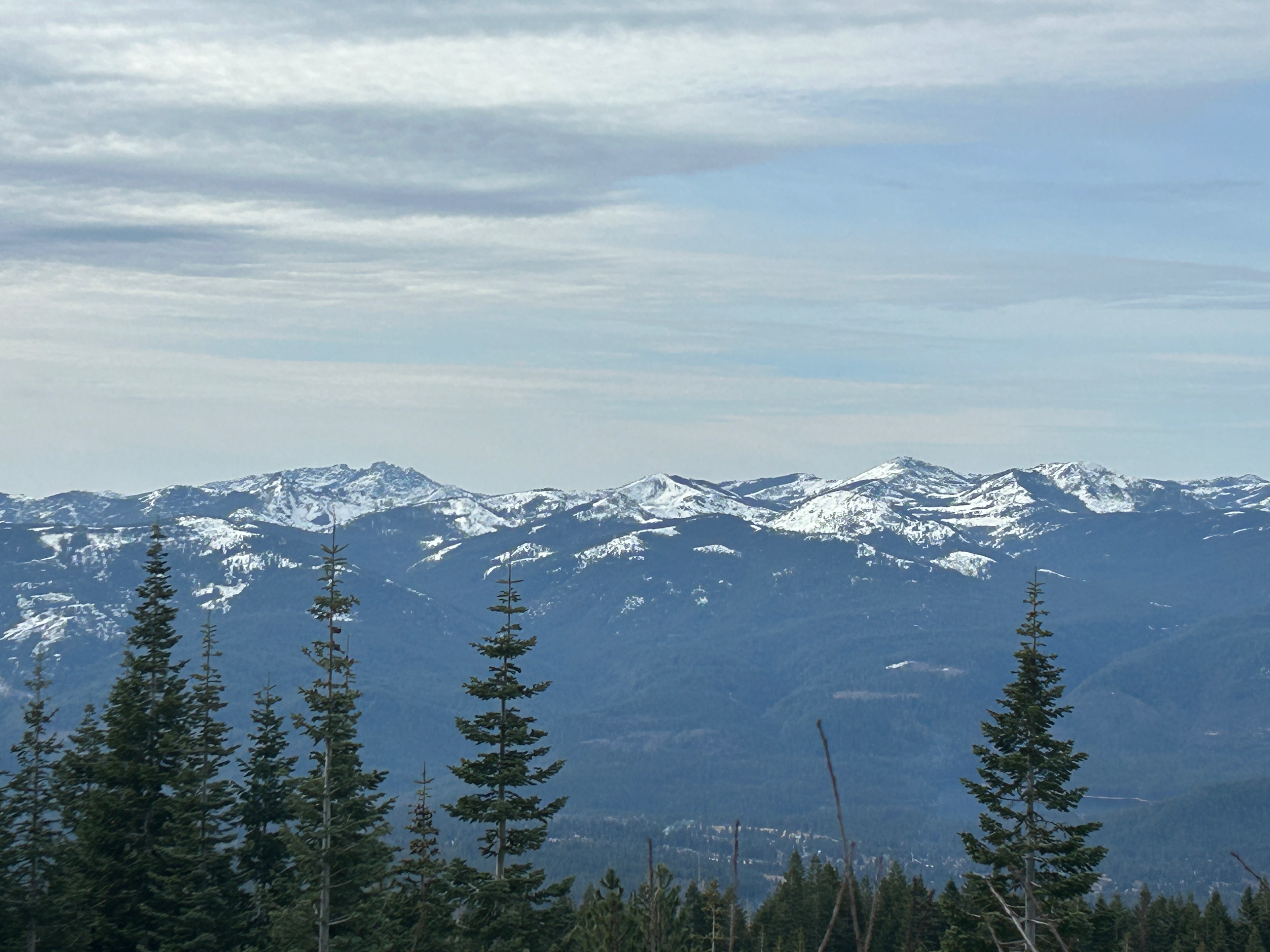
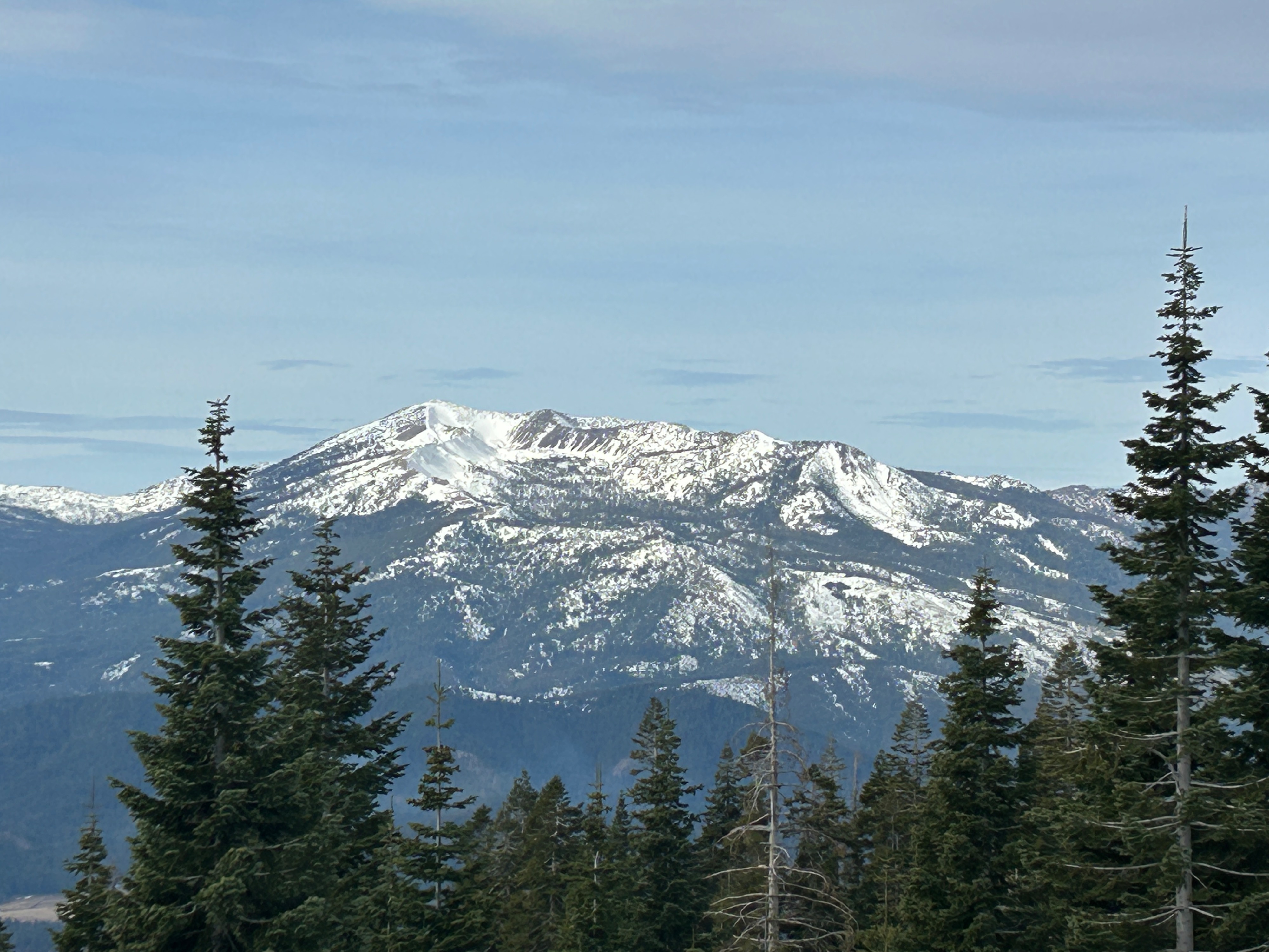
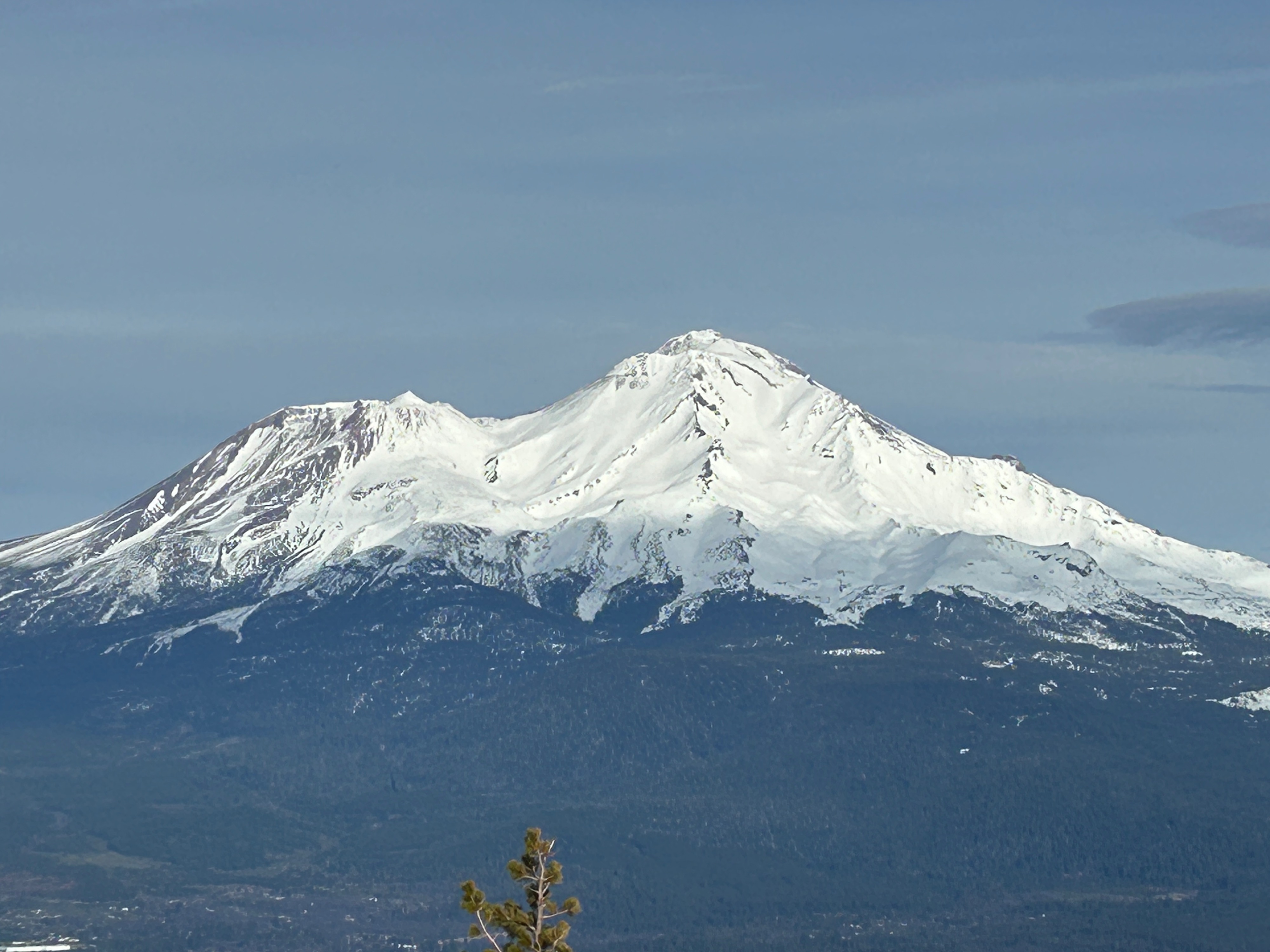
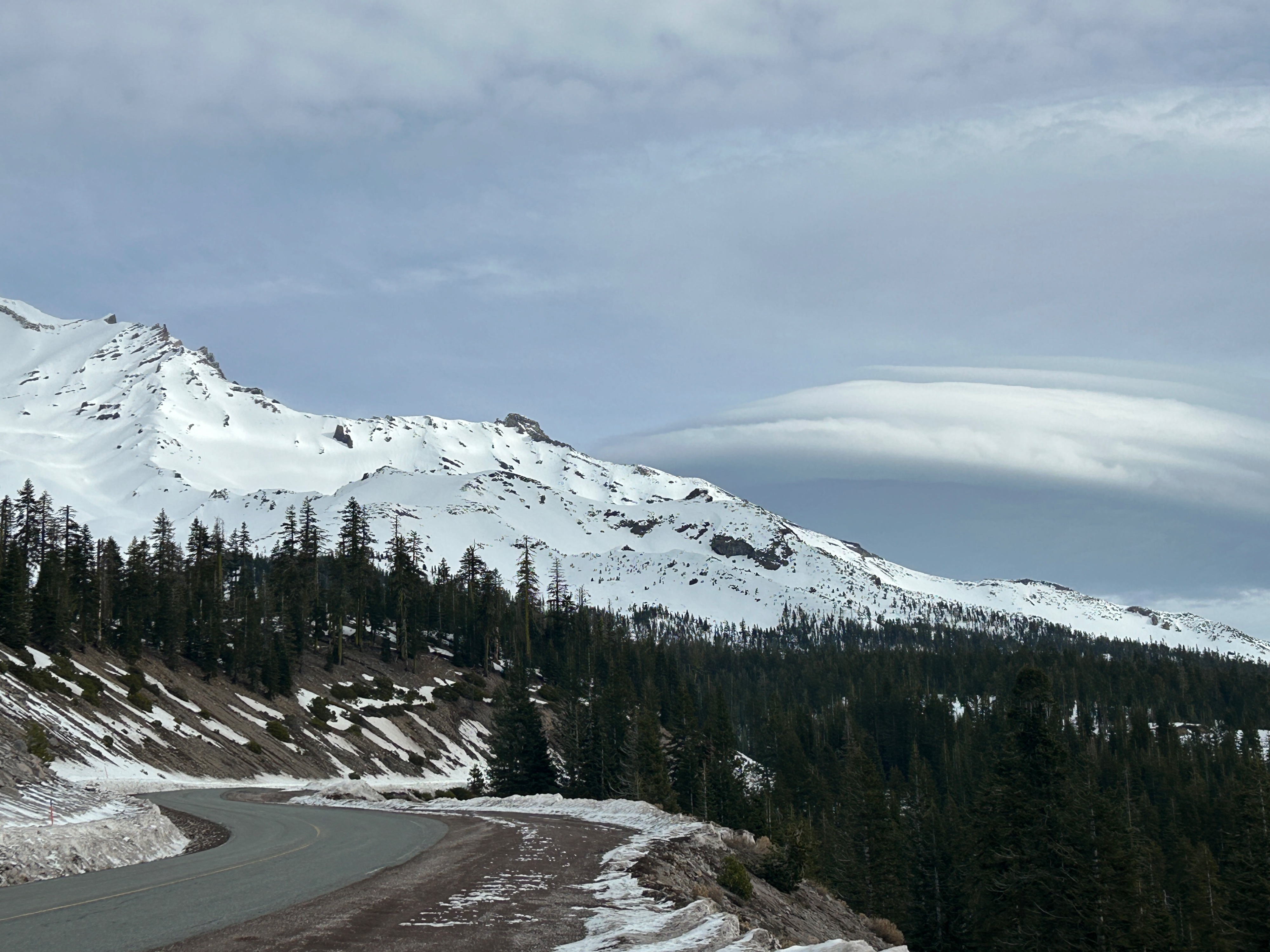
Quick report
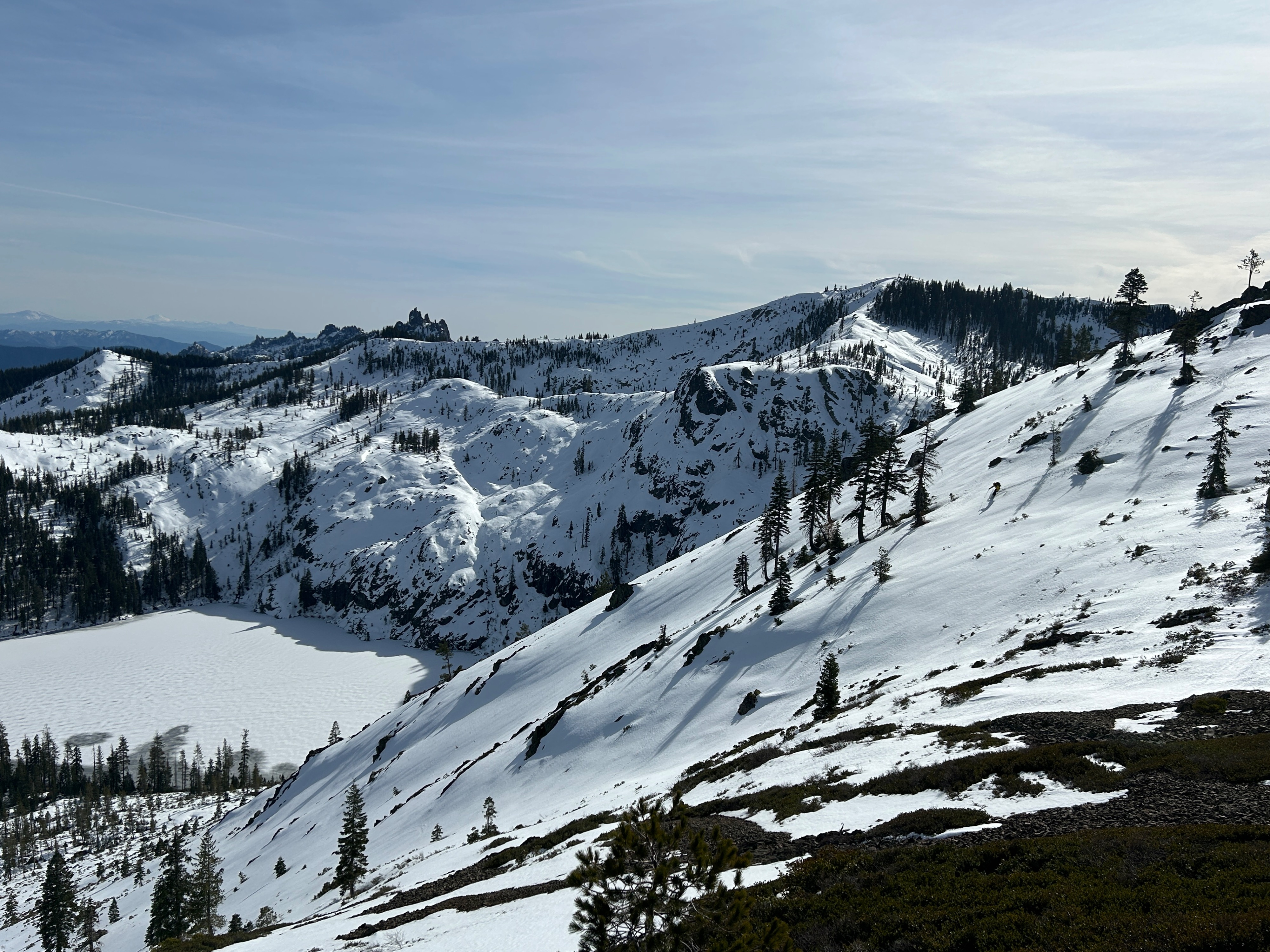
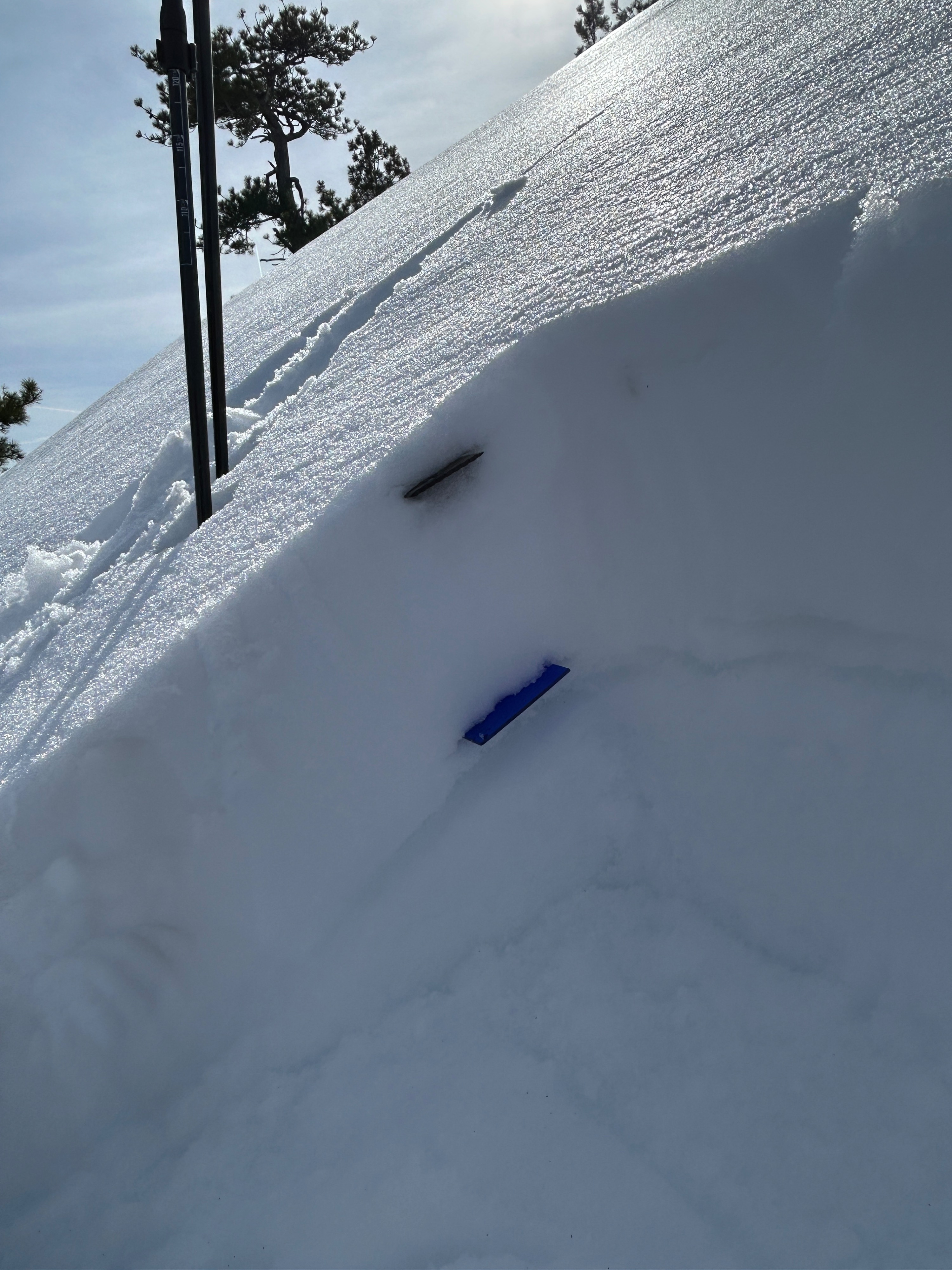
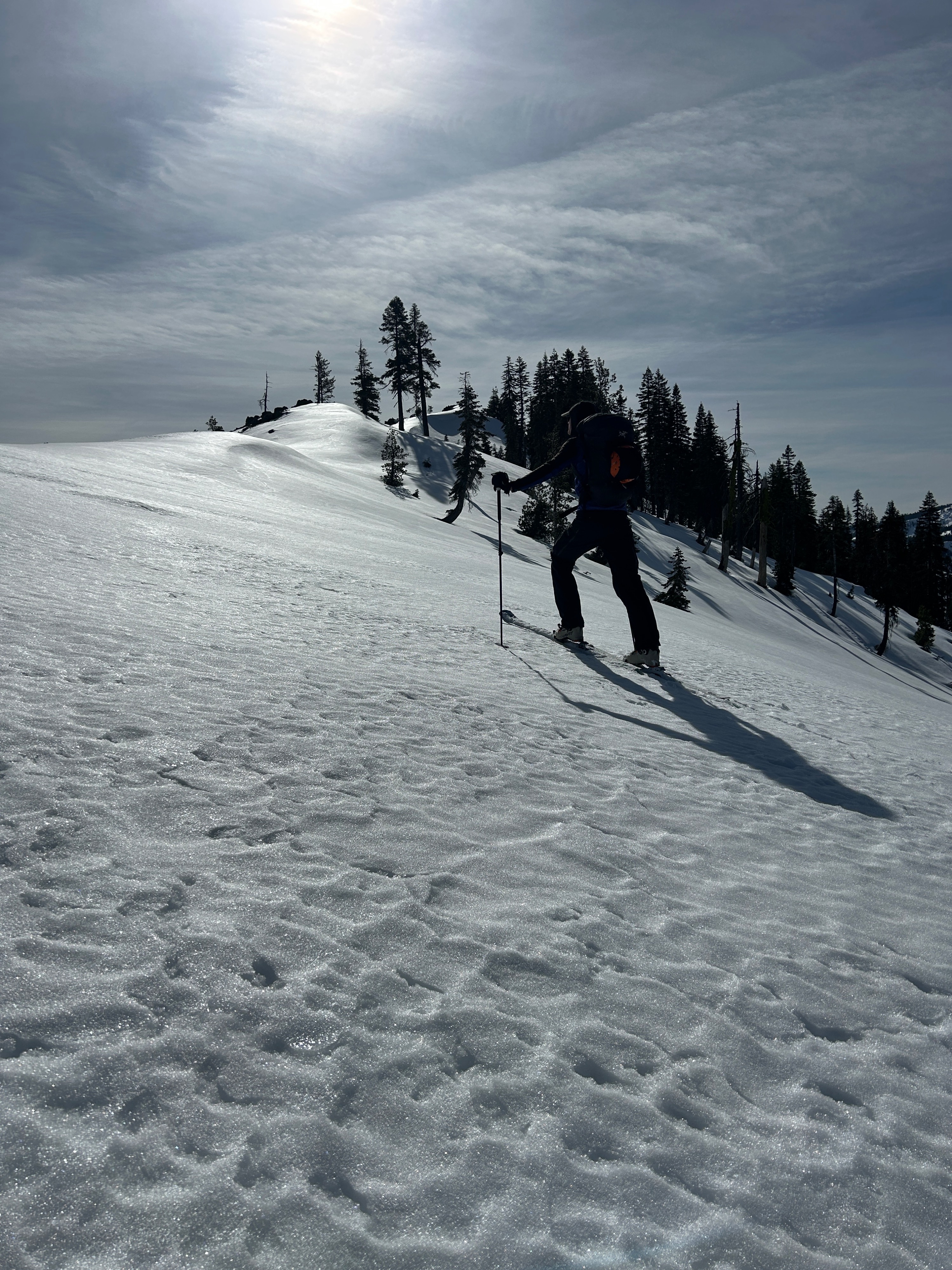
Today’s observation comes from Right Peak at Castle Lake. Despite the low-tide conditions, recreation is still achievable. The few inches of snow that fell last Wednesday have plastered on well to the pre-existing bed surfaces. Slopes holding drifted snow and warming surfaces exhibited no signs of instabilities and low avalanche concern. Warming weather will have a lot to compete with (subsurface crusts and a very cohesive snowpack) for a wet loose avalanche problem to arise.
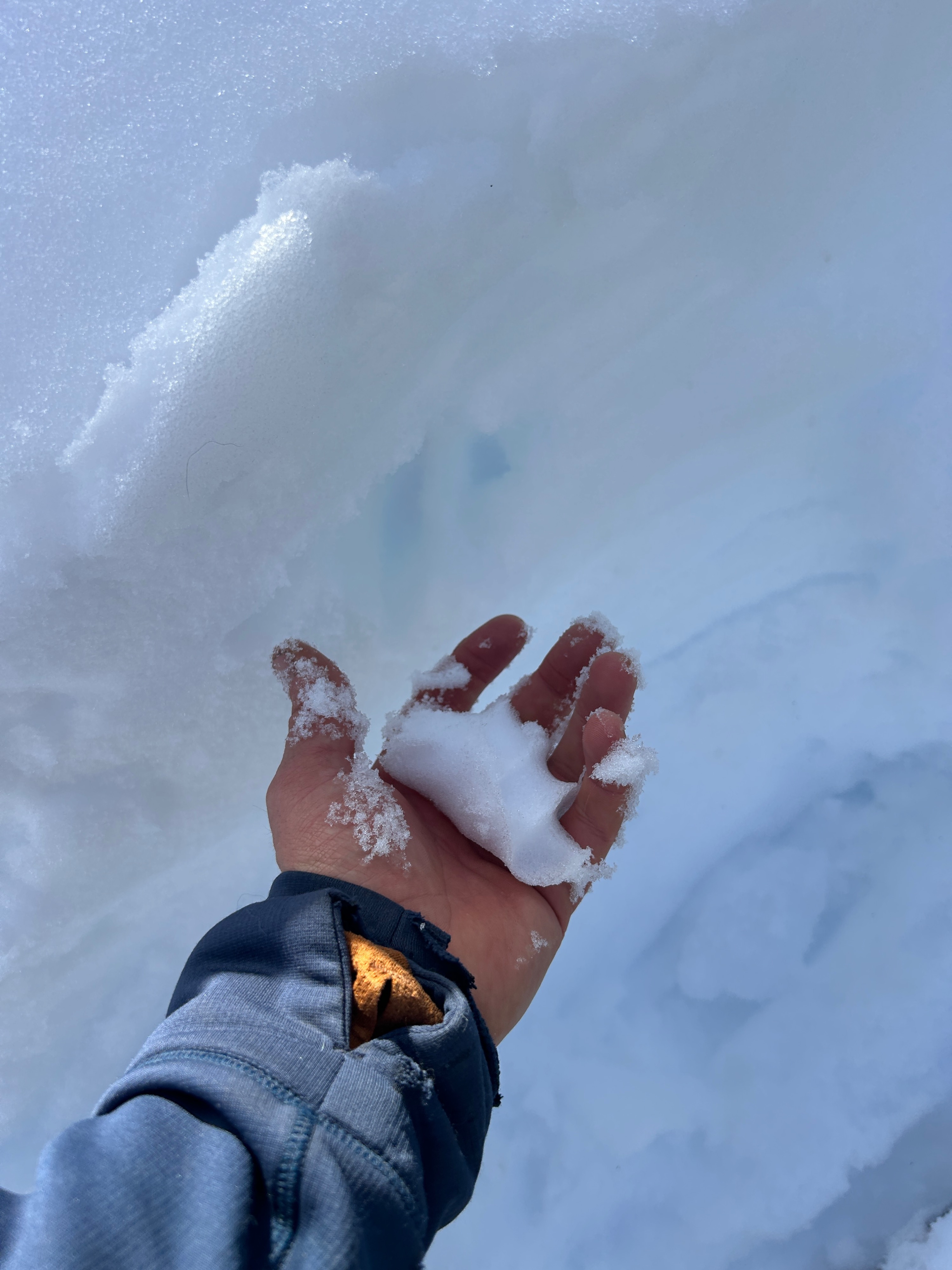
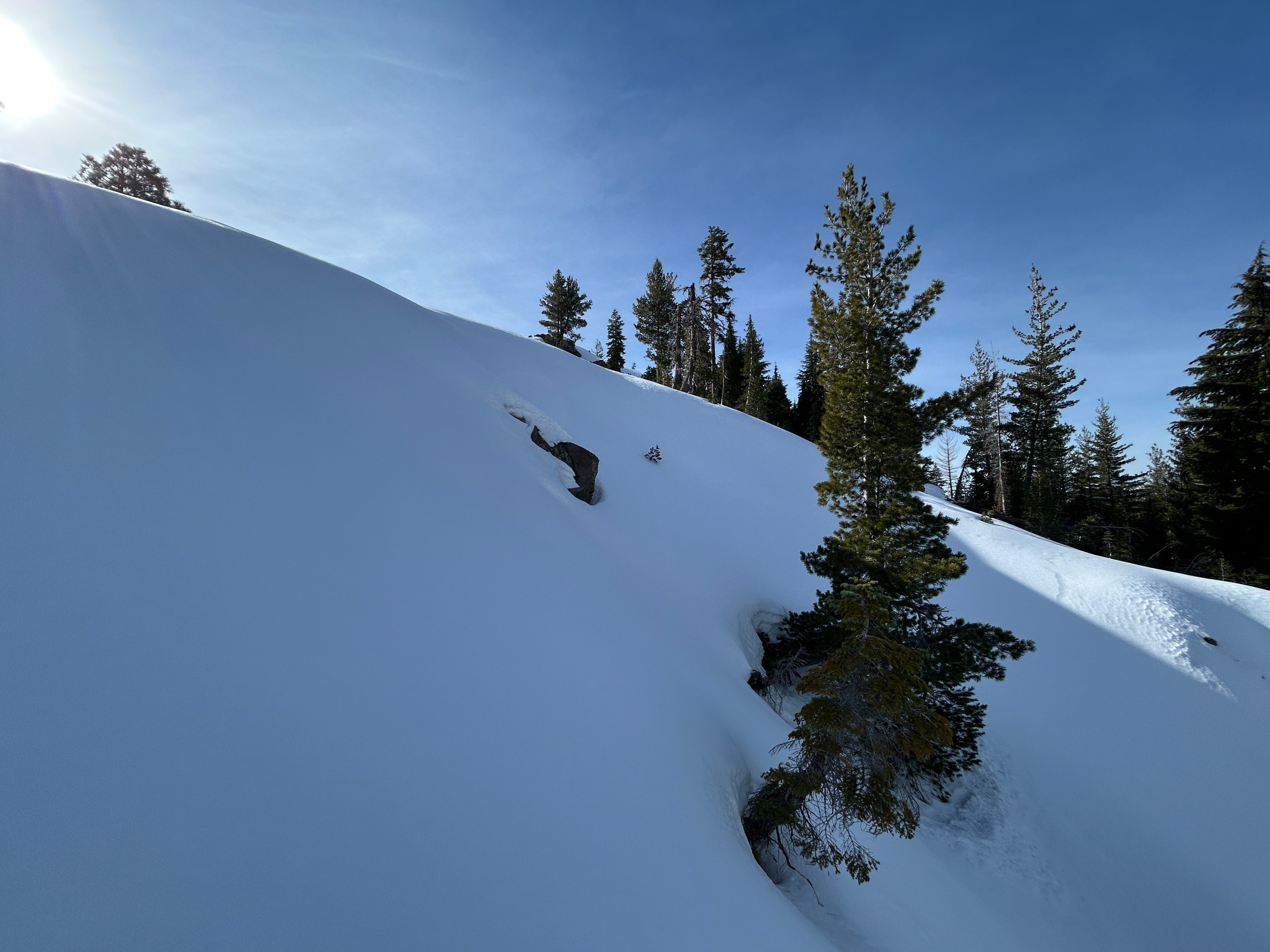
Solar aspects held the most supportable snow conditions for travel, with a few inches of soft, moist surface snow over a well-consolidated snowpack. These aspects also hold the thinnest snow coverage, with only a couple of feet in places and loads of obstacles.
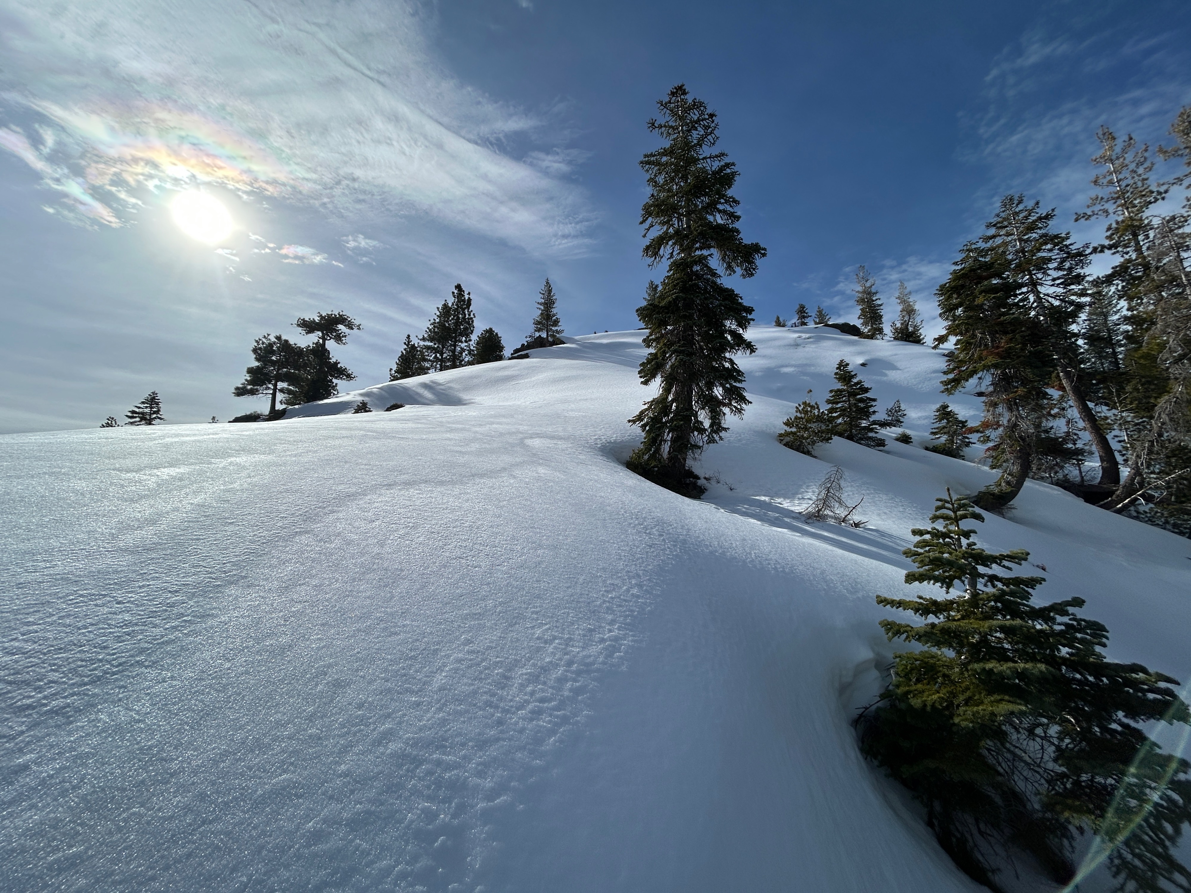
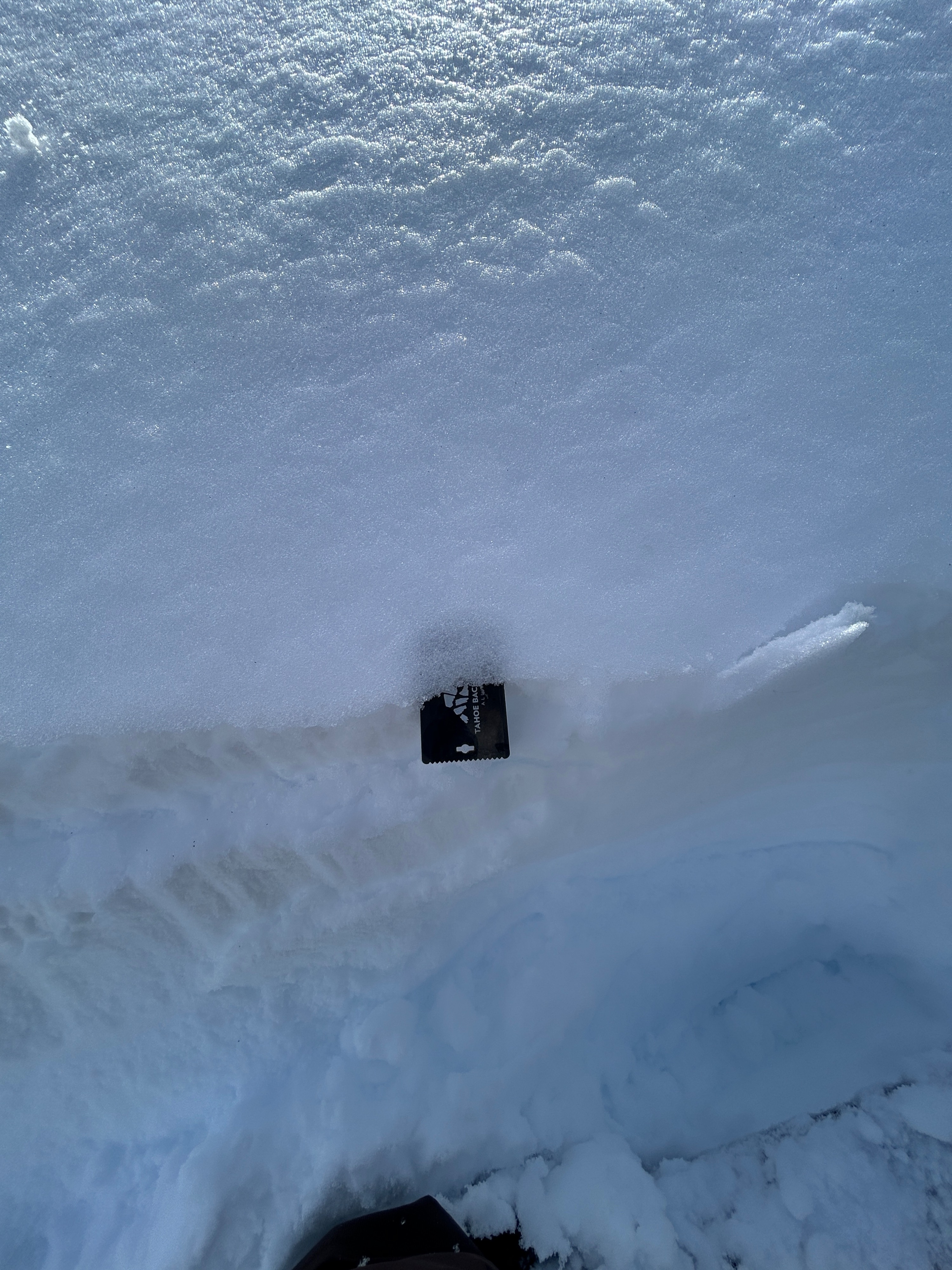
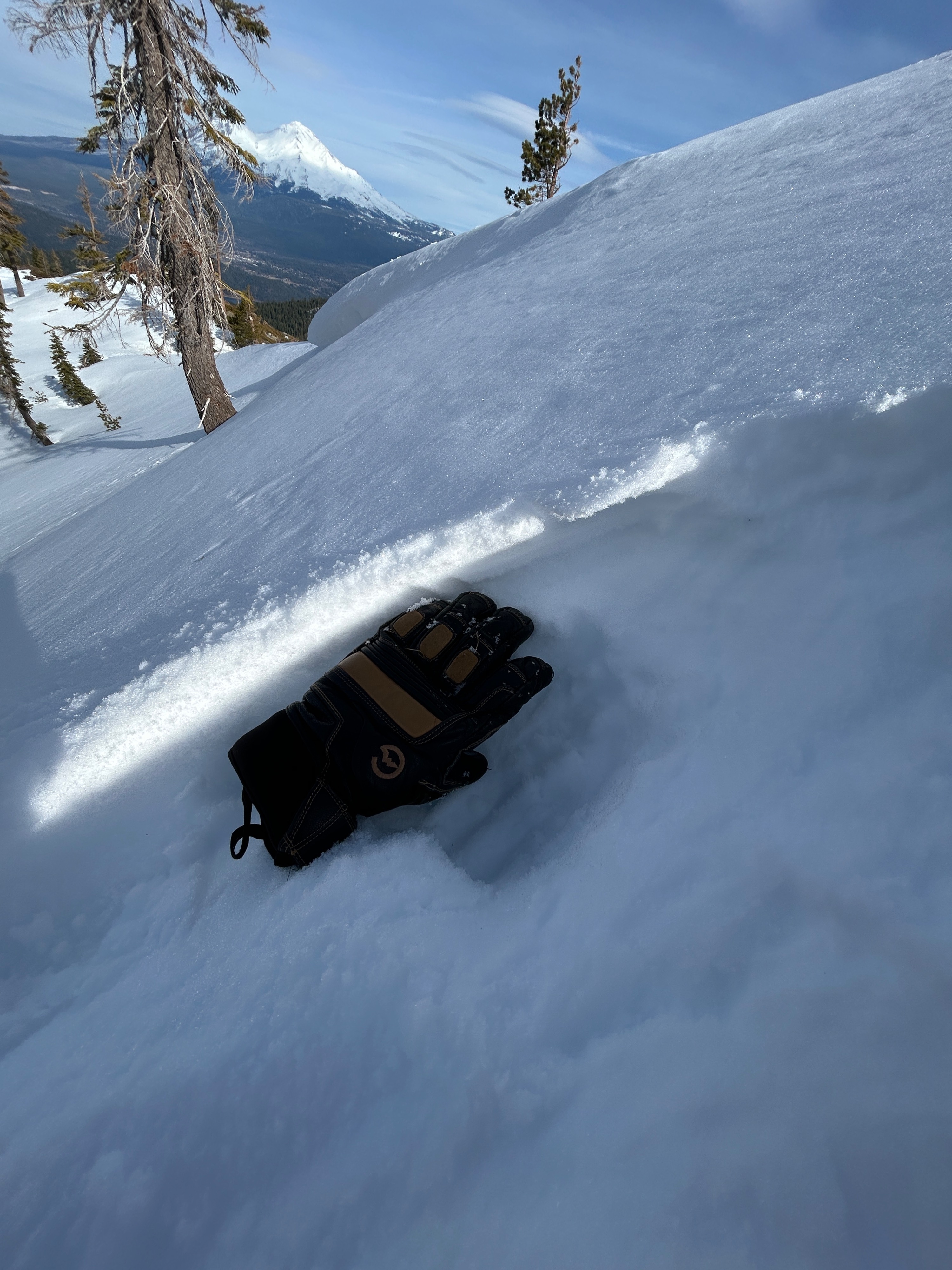
On shadier aspects, the snow surface is largely comprised of a thin and fragile crust, which likely formed over the past 24 hours due to a greenhouse effect followed by a brief clearing overnight. Beneath the surface layer, drier and less consolidated snow exists. These shady aspects hold the best snow coverage and depths, with 3-4 feet in places.
Small cornices were observed perched along the major ridgeline leading up to Middle Peak, but these remain of low concern at the moment. The lake is not frozen around the shoreline. Tread gently.
Weather
- Air Temp
- 53
- Cloud Cover
- few
- Wind Loading
- none
- Recent Snowfall
- 0
- Snow Avail For Transport
- small smounts
Decreasing cloud cover, temperatures in the low 50s, and calm to light southwest winds made for a beautiful day.