
Quick report
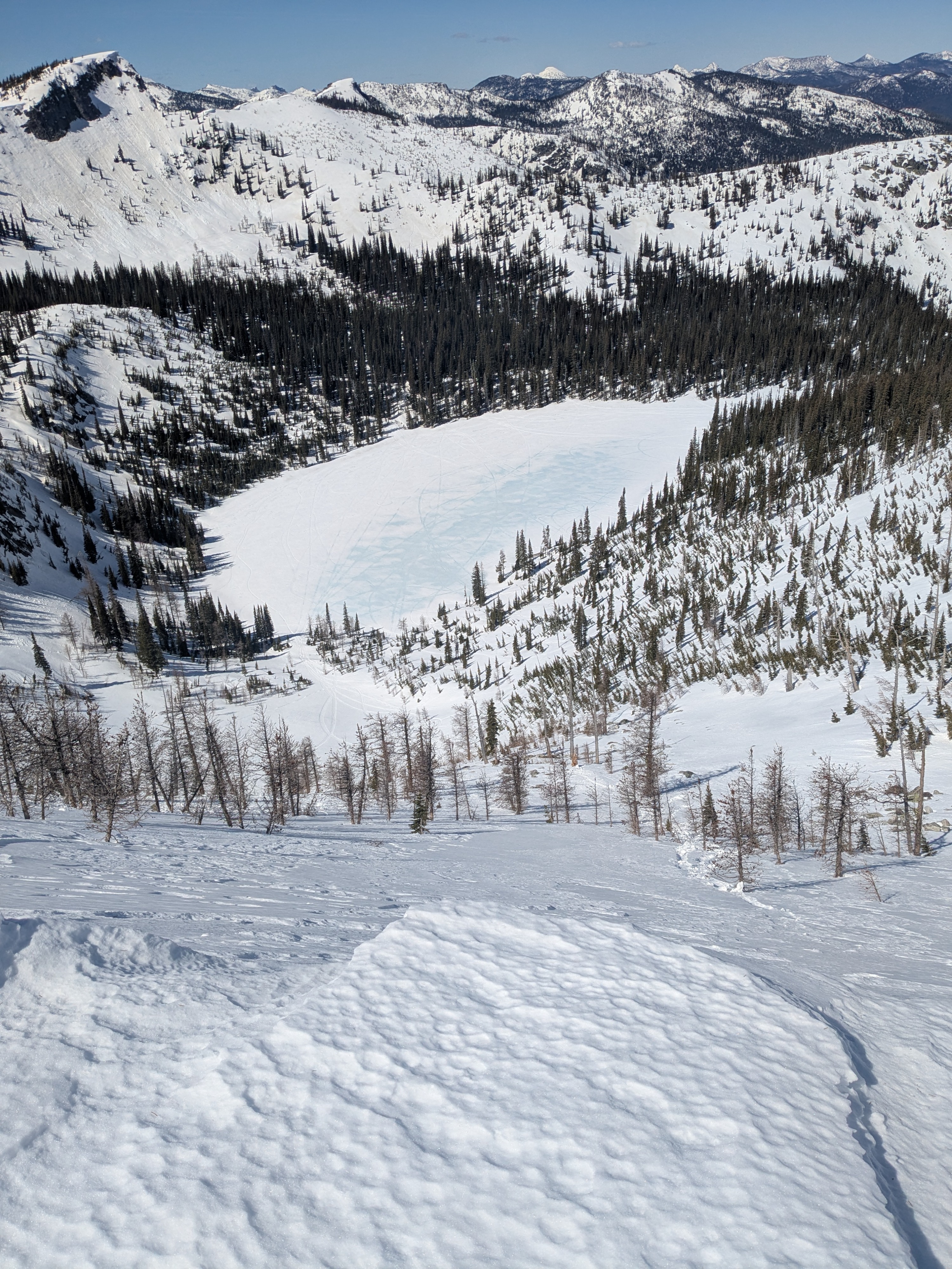
We found classic spring diurnal conditions - a softening snow surfaces on top of harder, refrozen layers. Recent wet snow slides appear limited to upper snowpack layers, but some entrained additional snow and those piles were nearing size 2. Those larger slides are likely older versus within the last 24+ hours. Snow cover remains pretty solid at mid and upper elevations but access through lower elevations is slowly becoming more challenging.
Larger loose wet slides likely from last weekend before the cold front on Tuesday, April 7. Numerous rollerball activity in the usual spots on sunny slopes from yesterday and today's warm, sunny weather.Weather
- Cloud Cover
- clear
- Wind Loading
- none
- Recent Snowfall
- none
- Snow Avail For Transport
- none
Bluebird sunny day and no clouds. Calm winds to light west winds at ridgetop
Snowpack
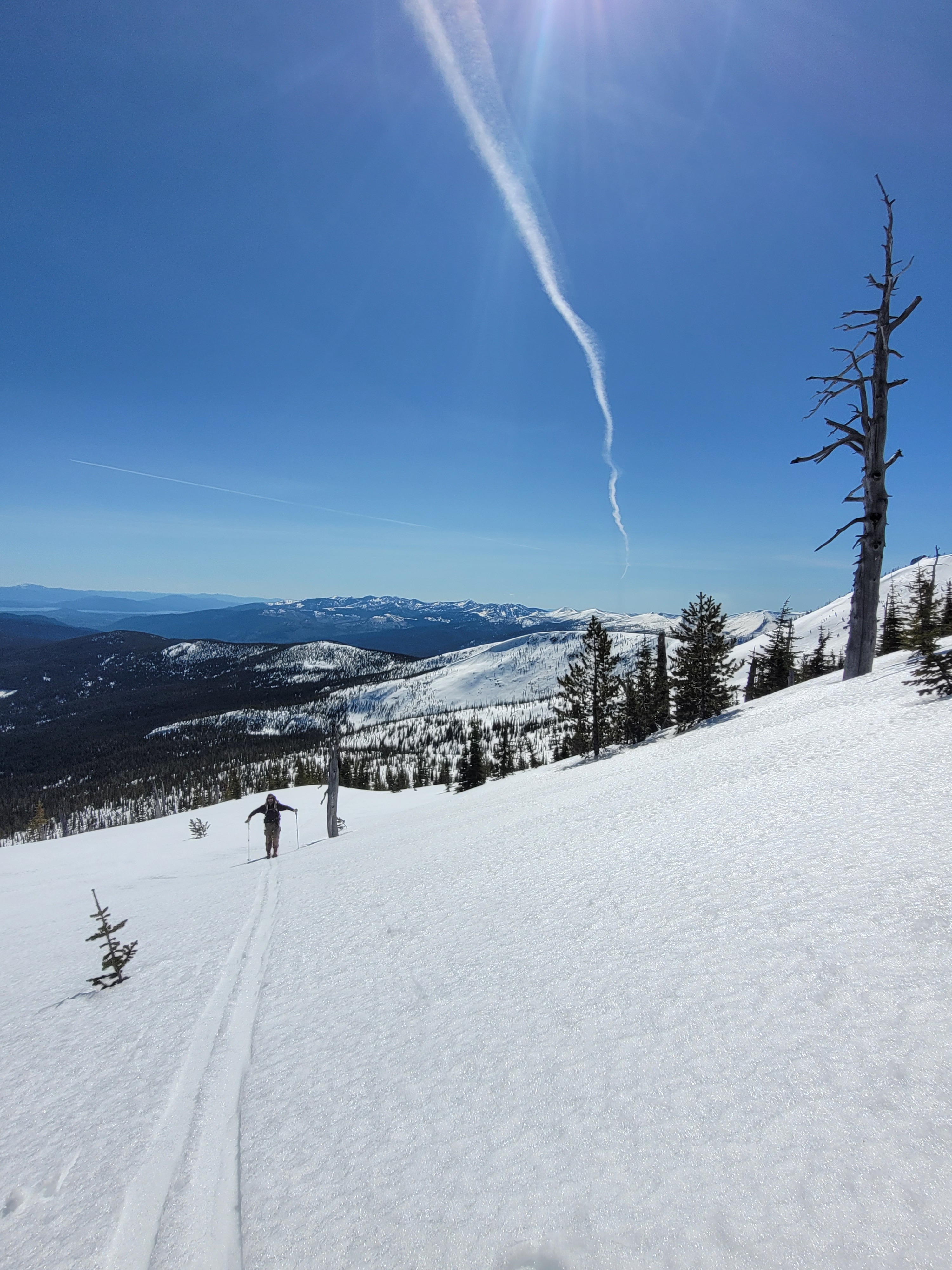
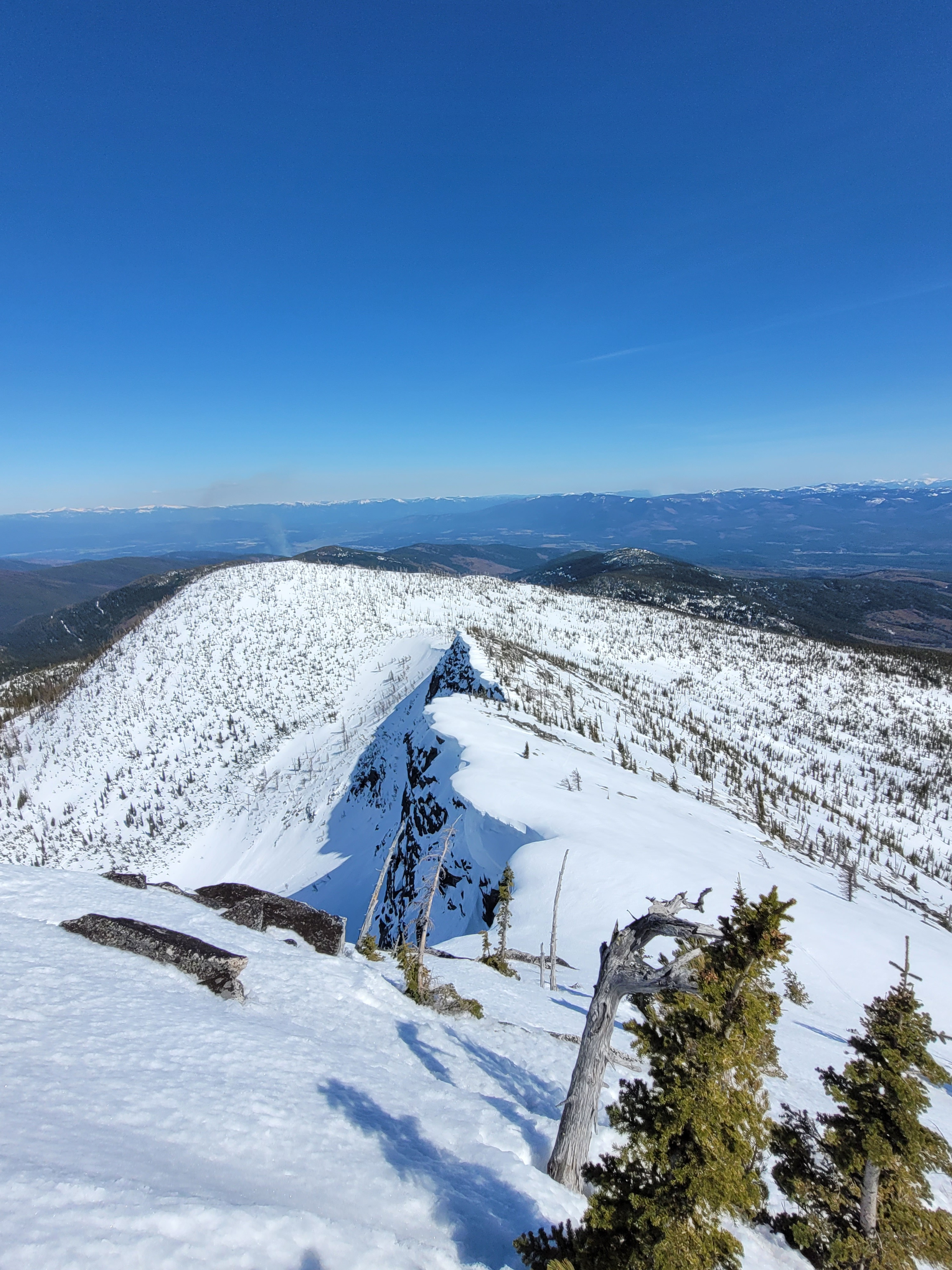
Snow surfaces and upper snowpack layers differed based on aspect and elevation. Surface softening extended 5 to 10 cm below the surface on east through south to west aspects by mid day. Ski penetration was generally 5 cm or less and boot penetration ranged 15 to 20 cm. Deeper depths were mostly near vegetation and rocks, and the primary areas our sleds sunk deeper - especially where there was running water or alder below. While the grains within the softening layers and below were mostly melt forms and not a consolidated crust layer, the harder layering was supportive to sleds and foot travel. This made for fast and efficient travel. By later in the afternoon, due south-facing slopes got sticky but we were able to keep gliding on skis with ease. By the time we descended back below 5,500 feet, the snow surface got progressively weaker and more punchy, but not full collapsing. Northerly aspects around 6,500 feet and higher still harbor small amounts of colder, drier snow from April 3. Where those slopes see short stints of sun this time of year, snow surfaces had a thin, firm zipper crust. These are the places where wet snow hazards will expand to if this weekends weather pans out and we see rain around 7,000 feet and higher.
Avalanche
- Size
- D1.5
- Type
- WL
- Count
- 4
- Aspect
- SE
- Trigger
- N
- Elevation
- 6600 ft