
Quick report
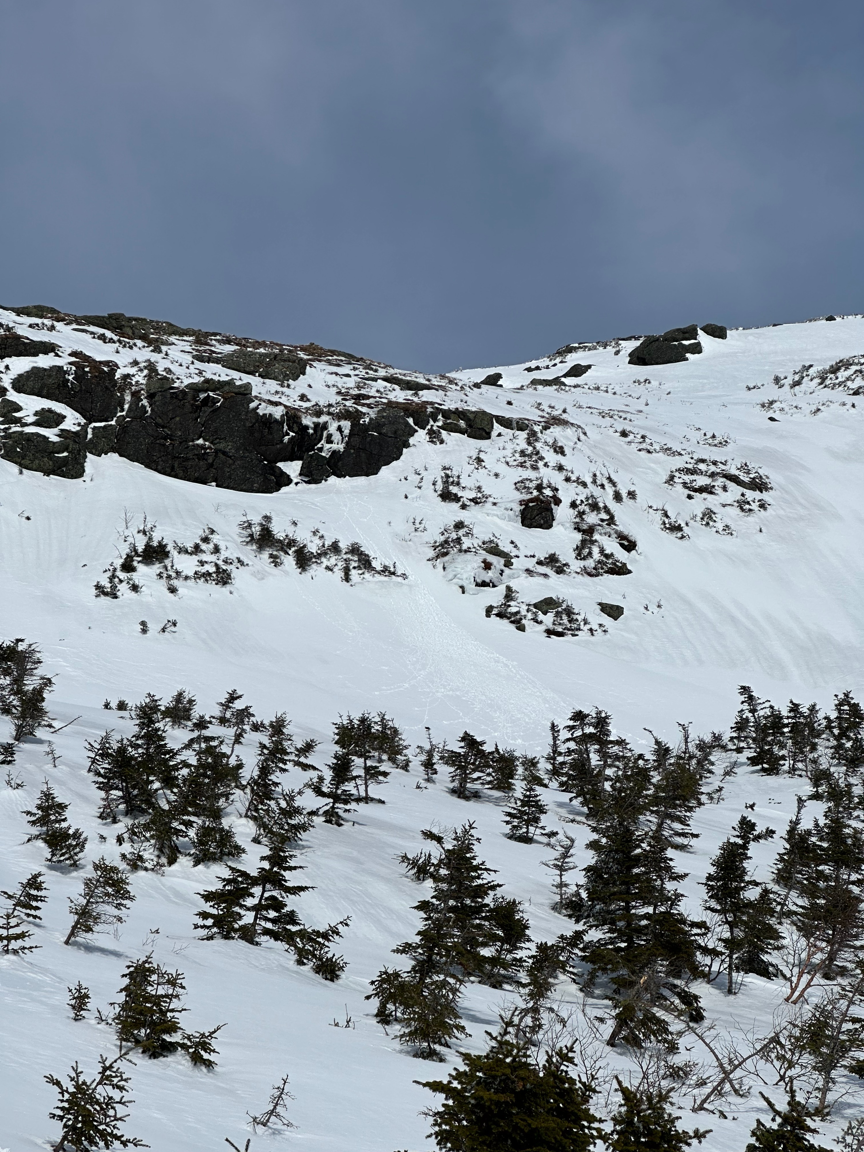
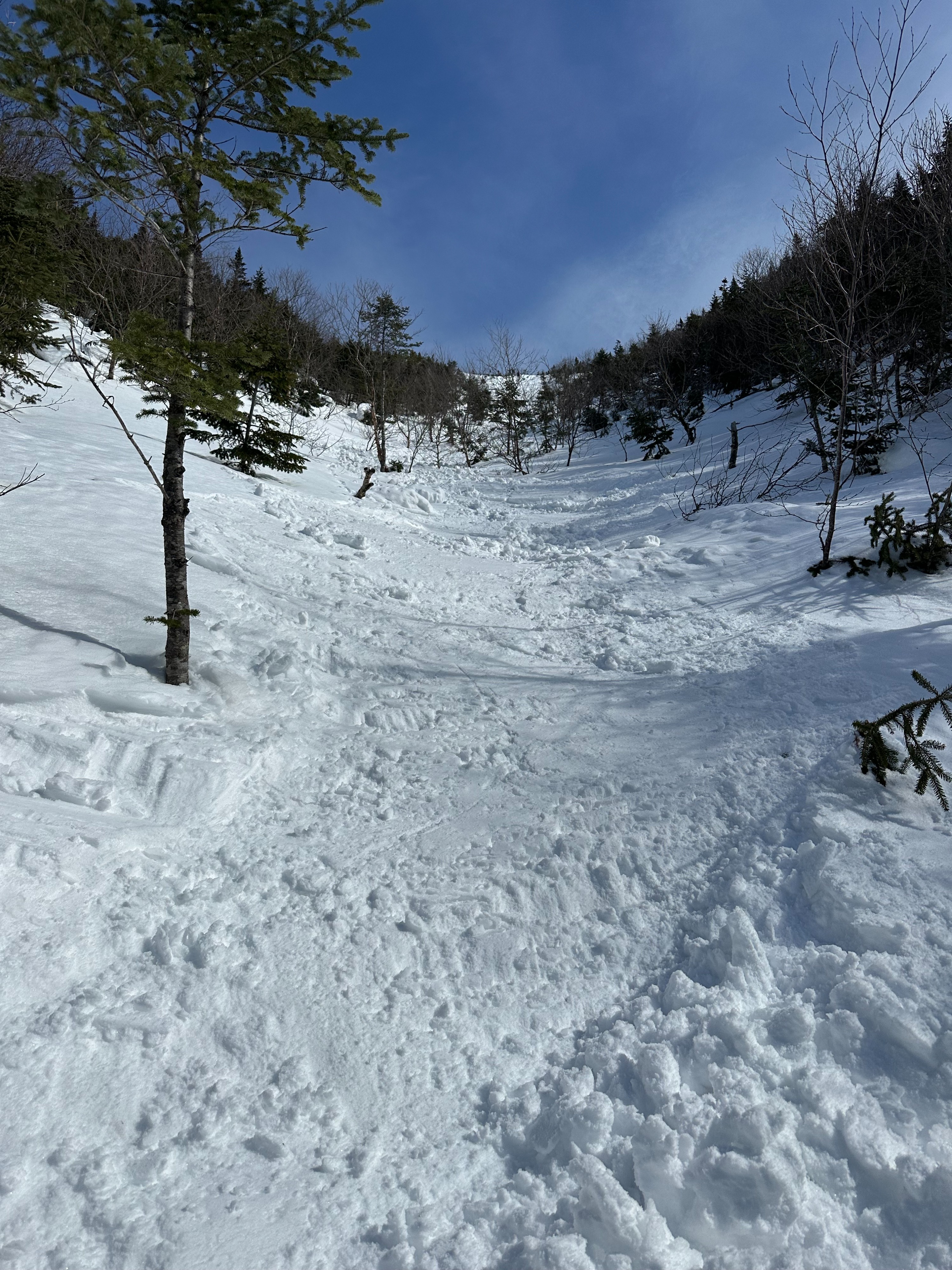
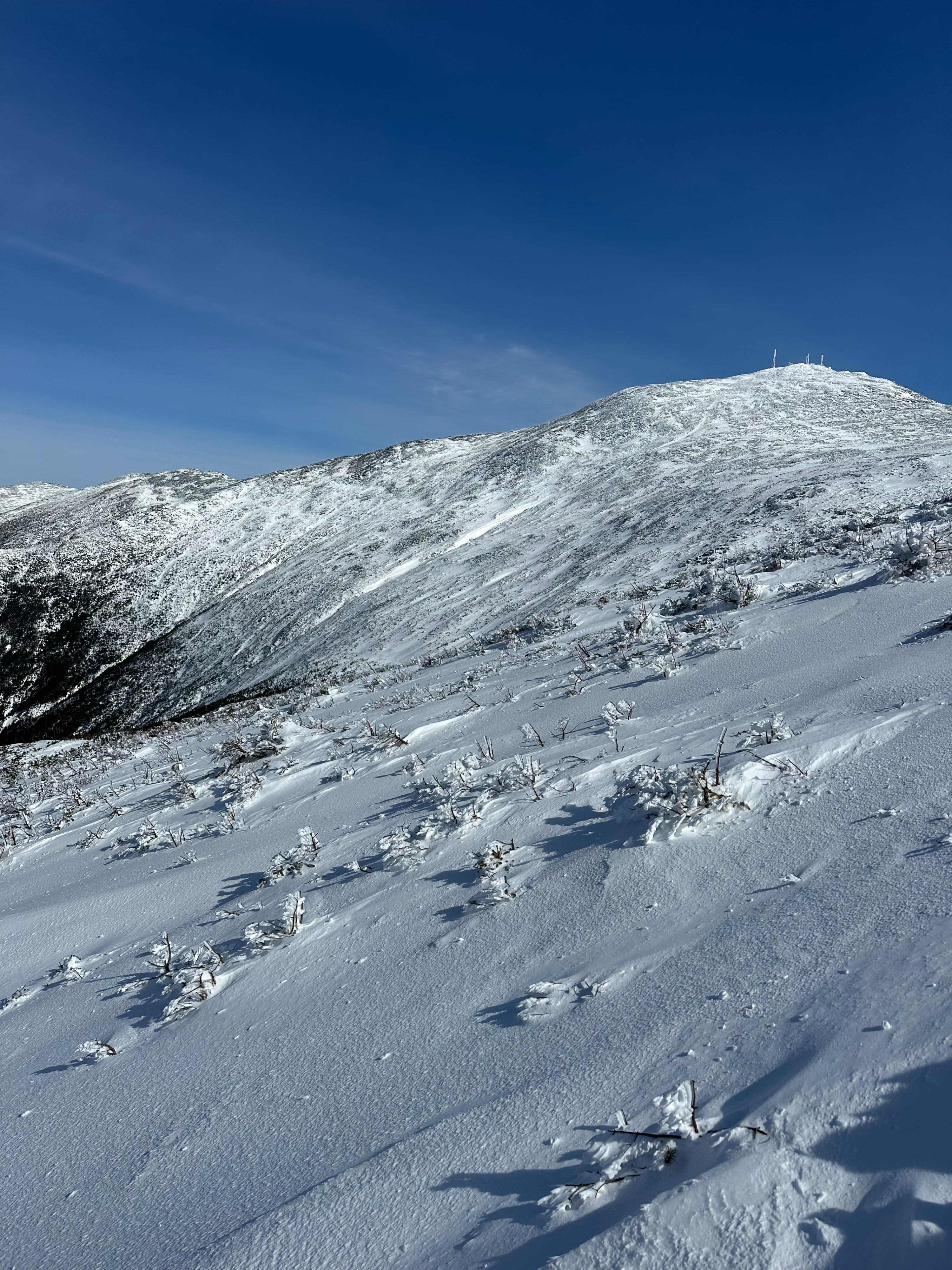
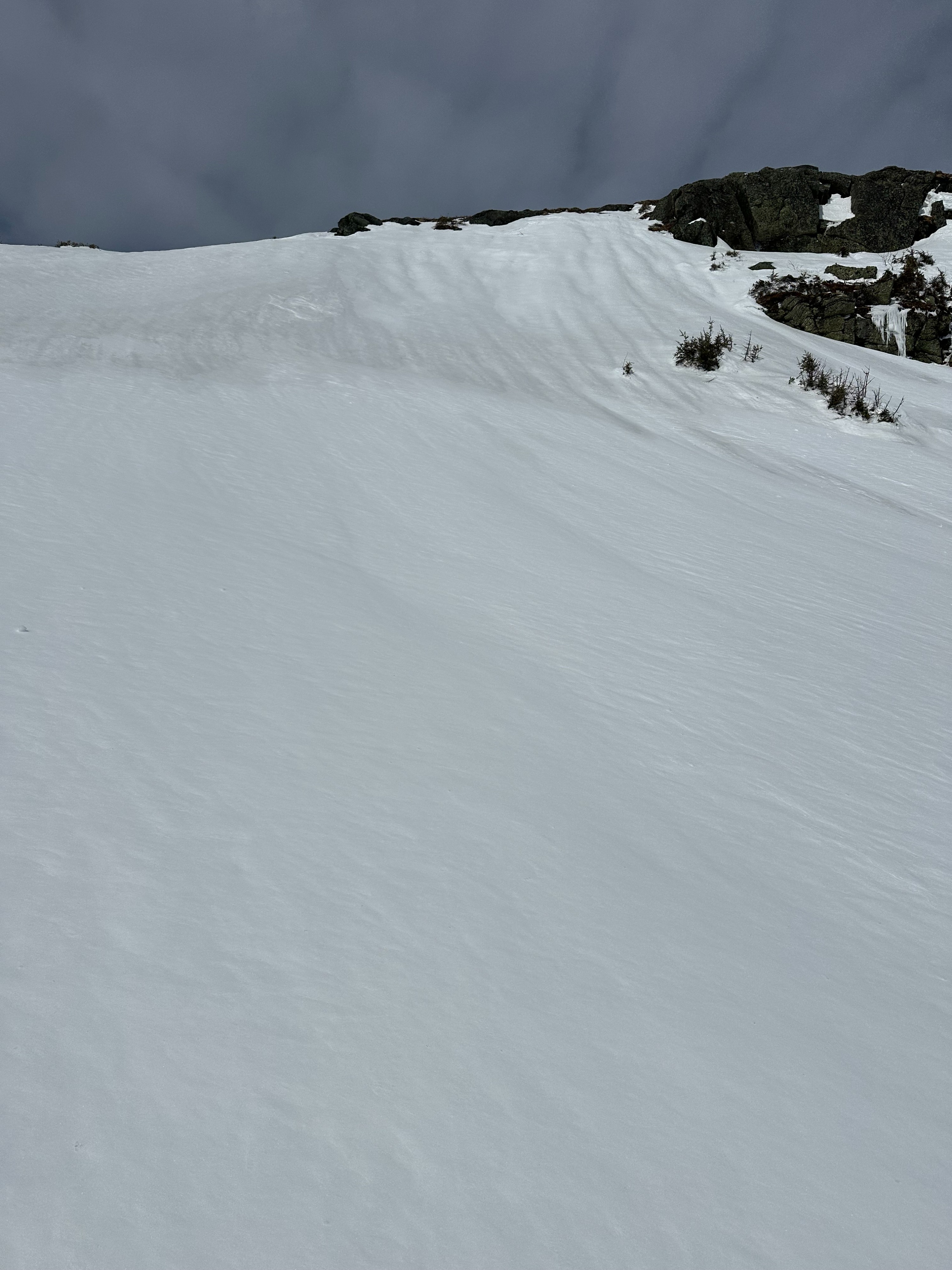
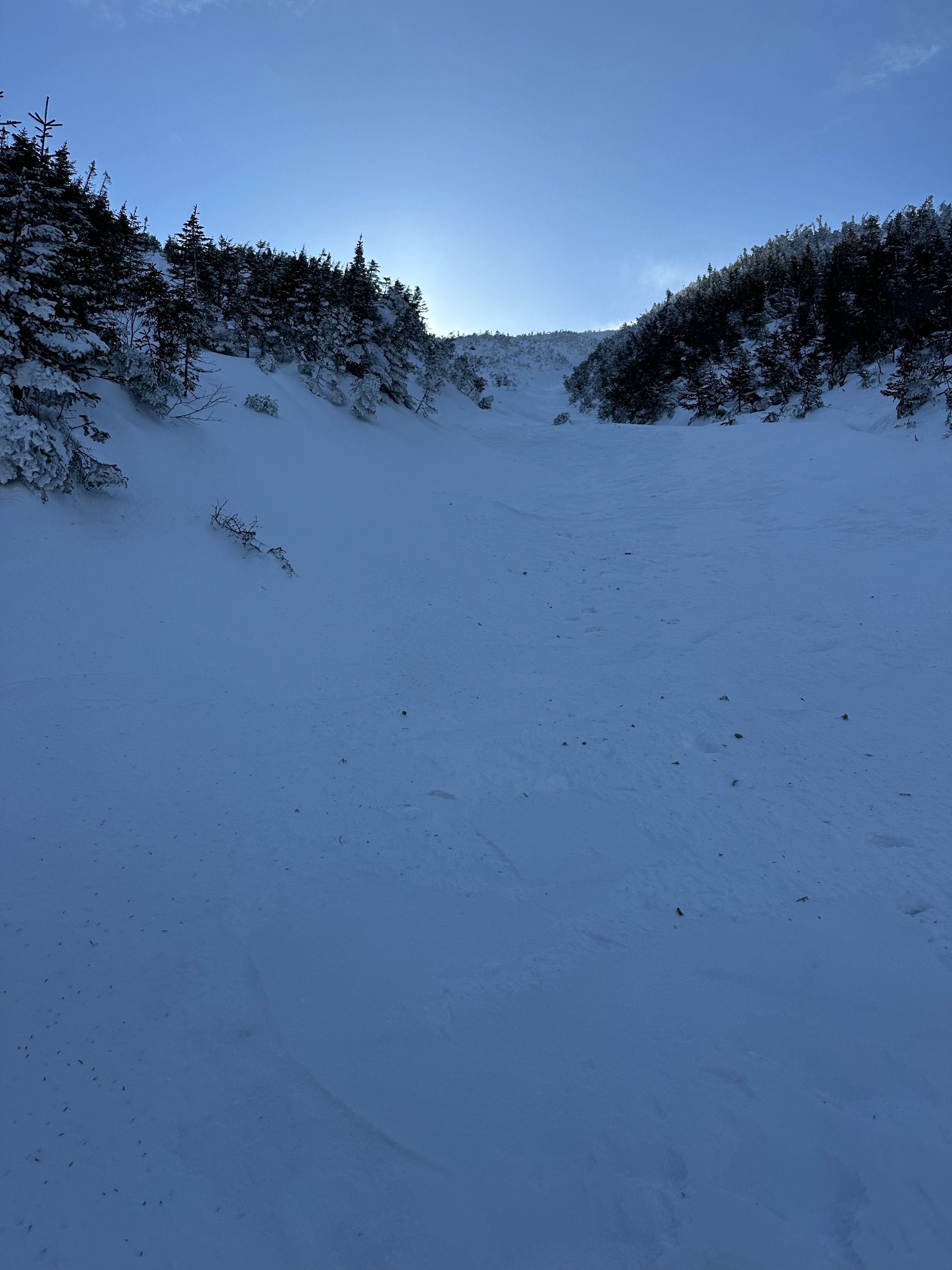
My team and I explored multiple aspects and elevations around Mount Washington. We traveled on northwest aspects in Monroe Brook, south and southeast aspects in Oakes Gulf, and westerly aspects in Ammonoosuc Ravine. In general, we found good snowpack stability with small pockets of snow with slab characteristics on top of a hard old surface.
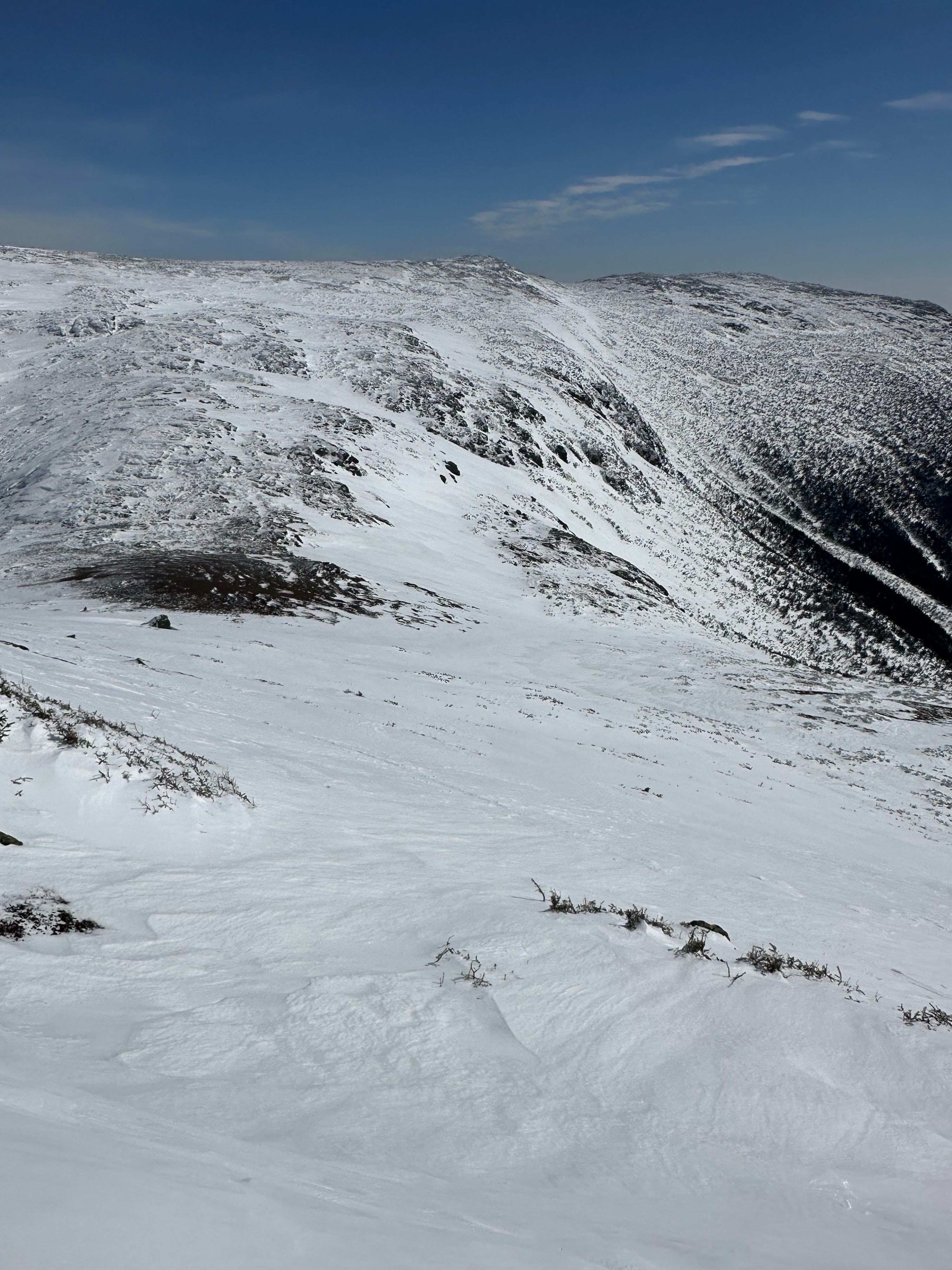
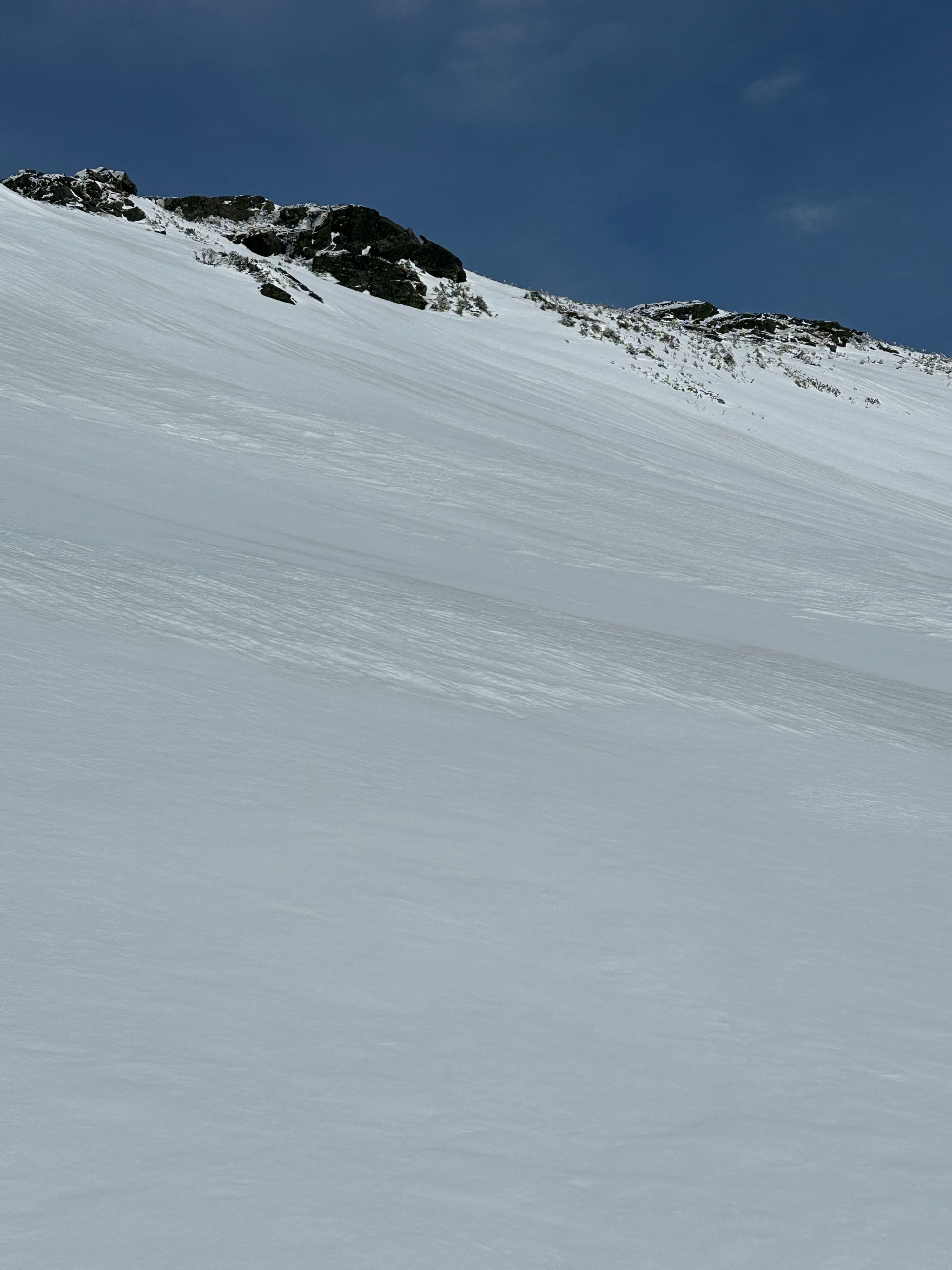
We found the hard, old snow surface (formed from the refreeze after the March 6th rain event) on every aspect we traveled on. On shaded slopes above 3000 feet, this old surface stayed hard and didn't have the opportunity to soften until much later in the day. On solar aspects above 4000 feet, this old surface warmed enough to provide up to 10cm of boot penetration and ~5cm of ski penetration.
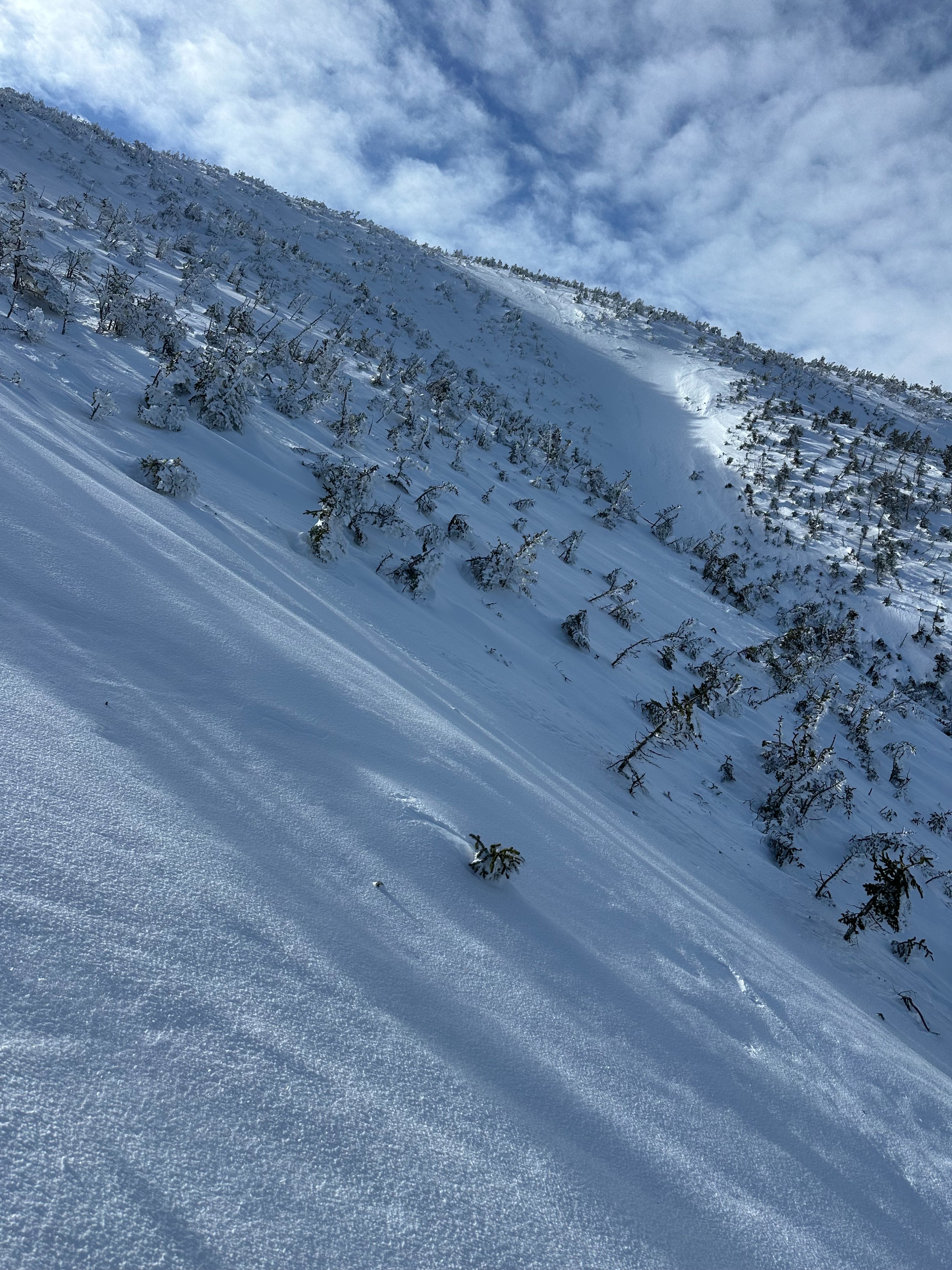
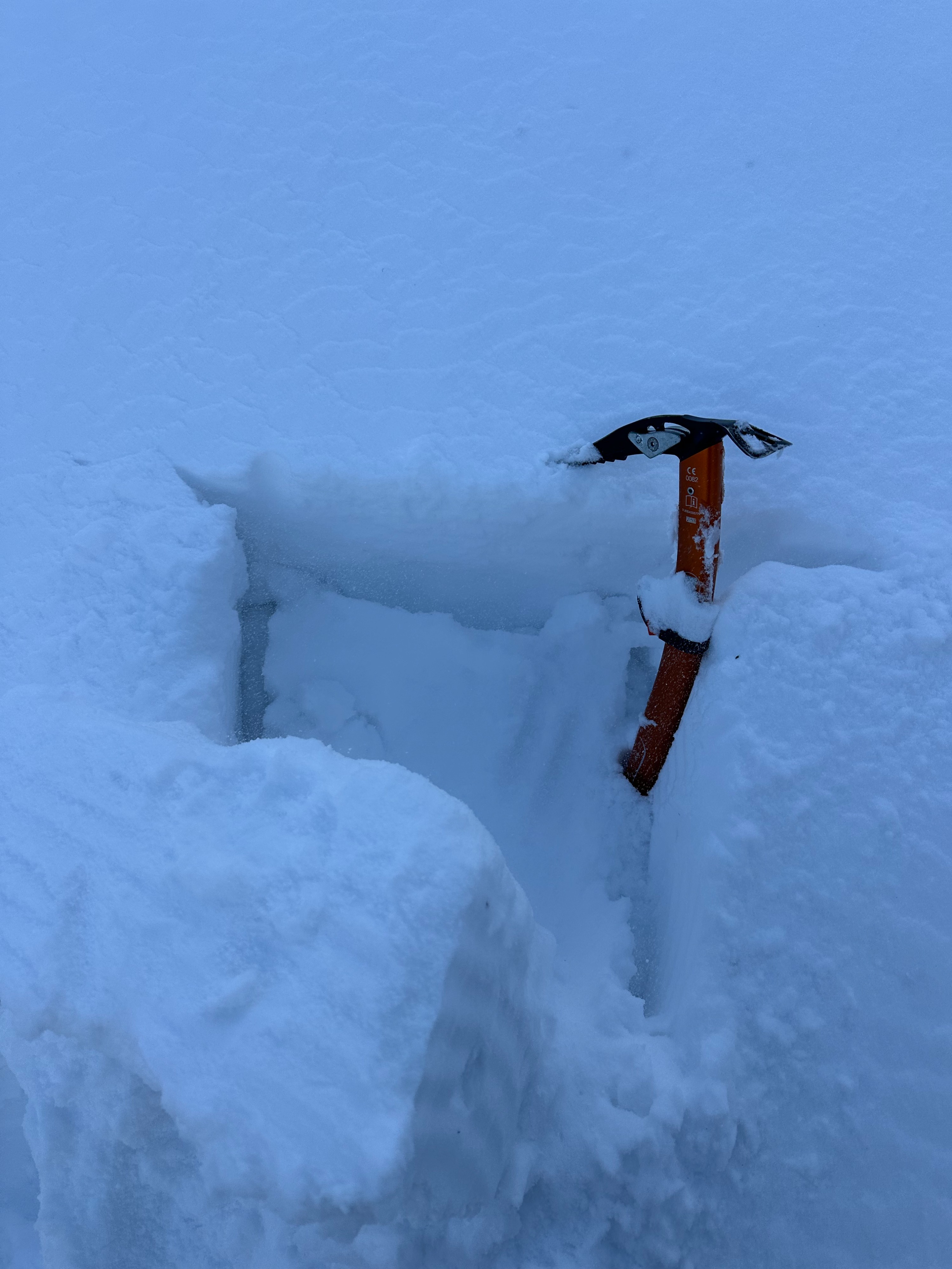
In sheltered areas, such as leeward aspects, in narrow gullies, and below steep cliffs, I found accumulated soft snow that was up to 8 inches deep. This snow became wet early in the day on solar aspects, and was slower to gain moisture on shaded aspects. By the end of the day, in most of the areas we traveled in, these patchy areas of new snow were becoming gloppy from ambient and solar warming. It was easy to get these shallow pockets of soft snow to slide on the old snow surface, but I did not observe any signs of propagation potential, except in isolated areas in Monroe Brook.
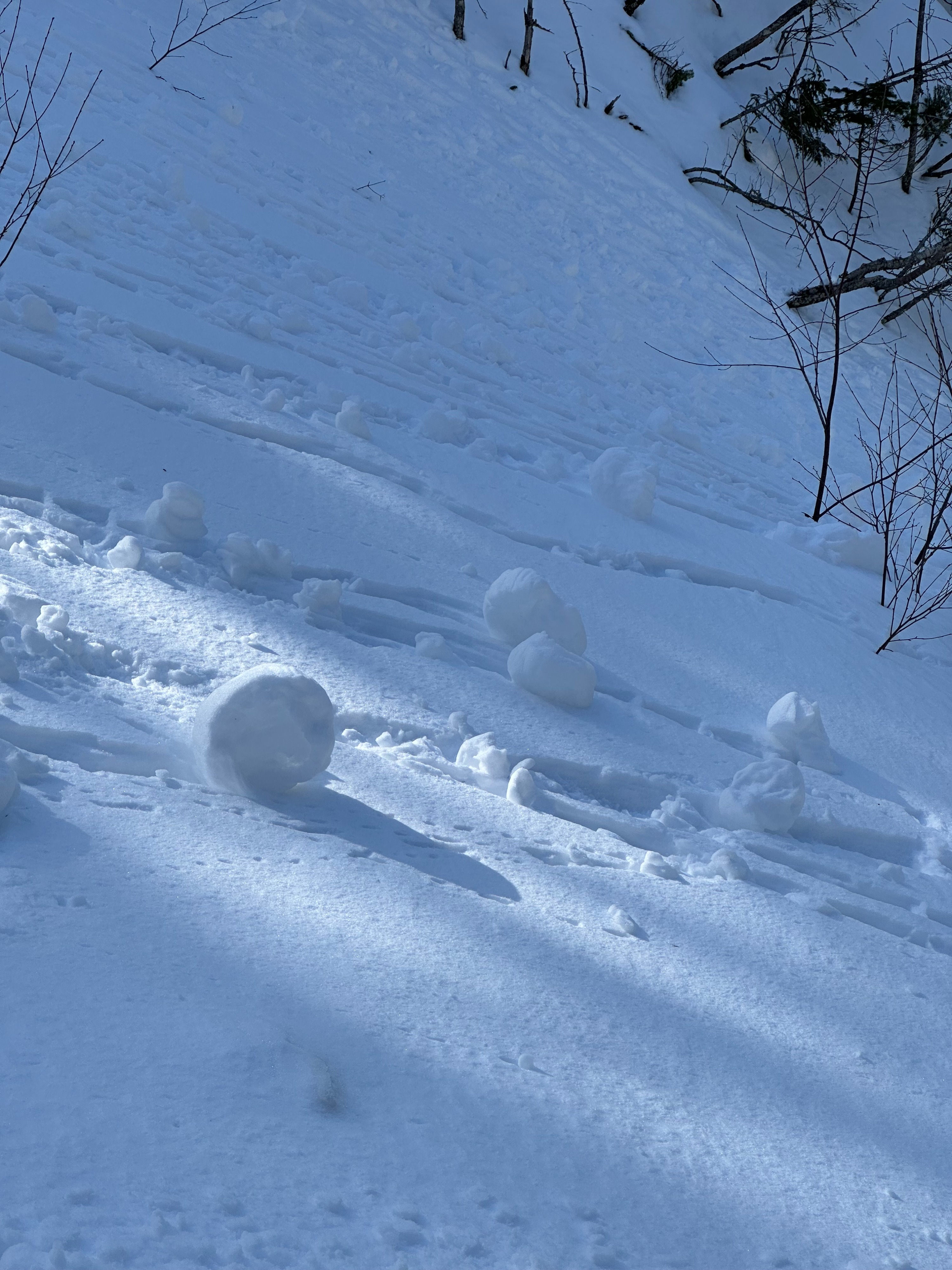
No significant signs of instability were noted. A few small loose wet avalanches were observed on steep, sunny aspects.Weather
- Air Temp
- 30
- Cloud Cover
- clear
- Wind Loading
- none
- Recent Snowfall
- 2
- Snow Avail For Transport
- none
Clear skies prevailed and temperatures warmed into the lower 30s F around 5000 feet. Winds out of the southwest felt moderate with periods of calm, especially in sheltered locations.
Snowpack
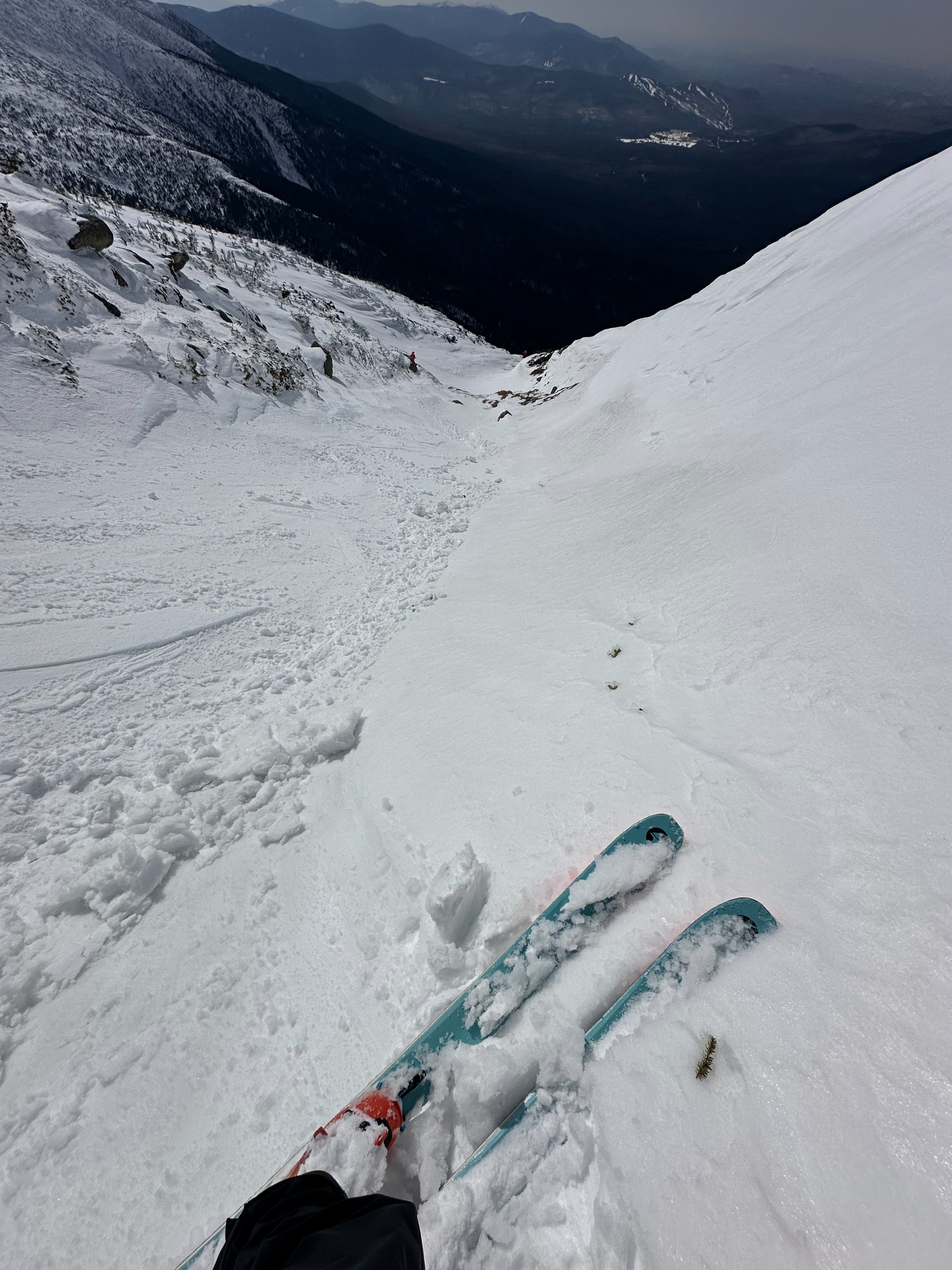
In Monroe Brook (northwesterly), the snow stayed dry and cold from bottom to top in the morning on the ascent. The snowpack was a variable mix of hard, exposed old snow and small wind slabs up to 10 inches thick. On hand shear tests, these drifts failed easily on a density change in the new snow where graupel snow grains were present. While some of these pockets were a bit concerning, they had a patchy distribution and were easy to avoid by traveling on the old snow surface.
In Oakes Gulf (southerly), the snowpack was a variable mix of exposed old snow and shallow drifts (up to 5 inches) of new snow from the past 2 days. South-facing snow, including the old snow surface, was warm and wet early in the day. Generally, good bonding was observed between the new and old snow, except on the steepest terrain features where the new snow easily slid off the hard old snow in the form of small loose wet avalanches. No propagation potential was observed in the new or old snow. The avalanche terrain in Oakes Gulf is well-developed with large connected snow slopes that could support large future avalanches running deep into the avalanche paths.
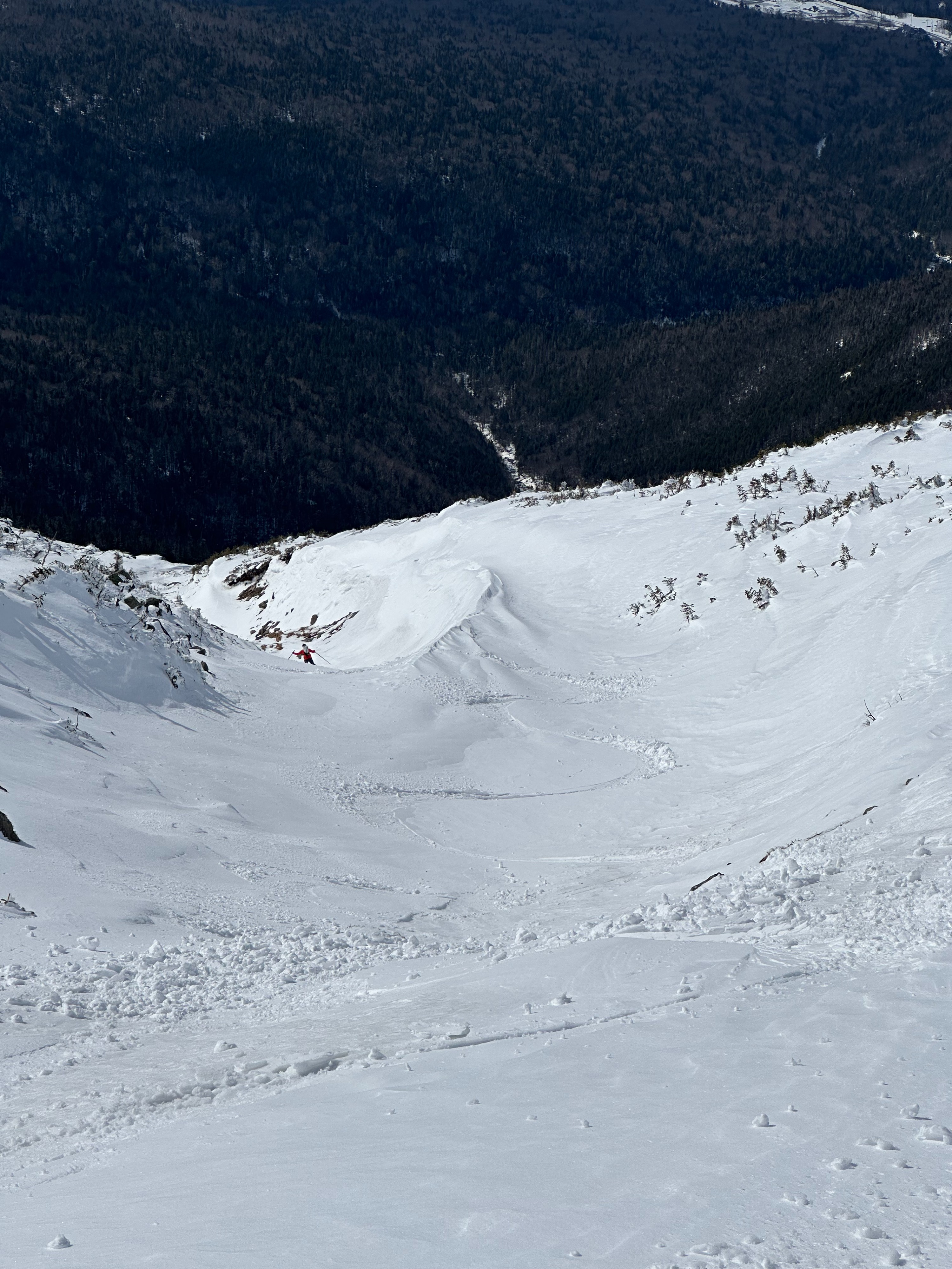
In Ammonoosuc Ravine (westerly), the snowpack was similar to what was observed in Monroe Brook earlier in the day. Since I was in this terrain later in the afternoon, with more sun exposure due to the westerly tilt, the snow was generally warm and wet, though not as much as on southerly aspects. The snowpack has a similar story to what we found earlier in the day: patchy areas of soft, drifted snow and firmer areas of the exposed old snow surface. In general, west-facing terrain has a relatively underdeveloped snowpack when compared to the snowpack on easterly terrain in the Presidentials. While this may limit the potential size of future avalanches in this terrain, much of this terrain is littered with terrain traps that could be dangerous even in a small avalanche.