
Avalanche Gulch / Lower Giddy Giddy Gulch / Parks Creek Summit Area
Quick report
- Cracking
- specific
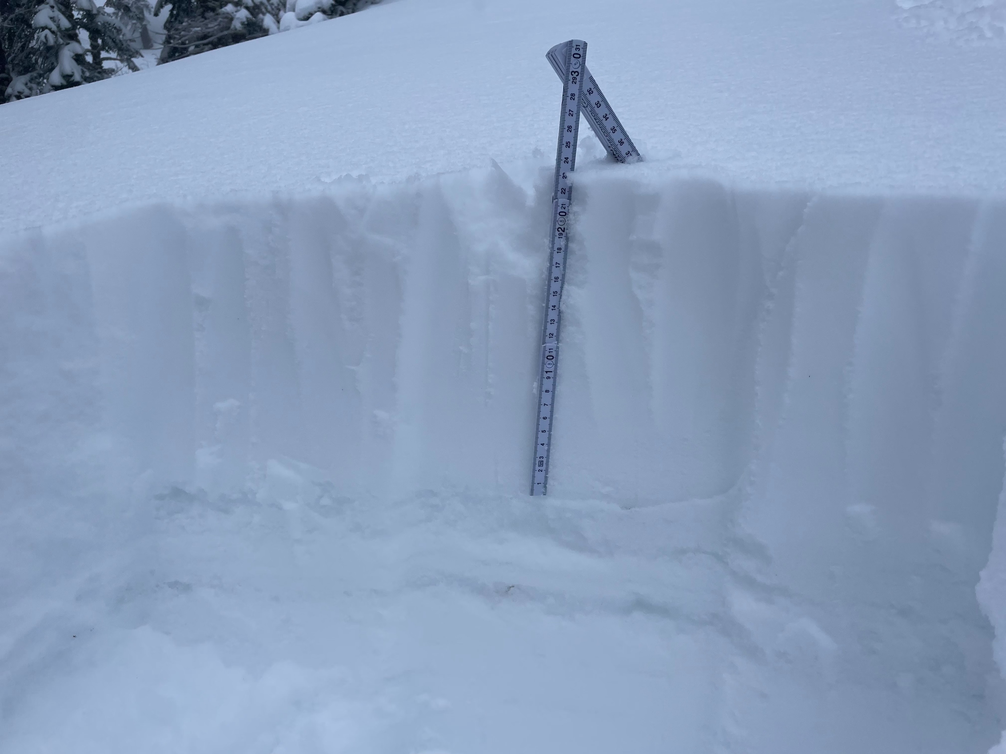
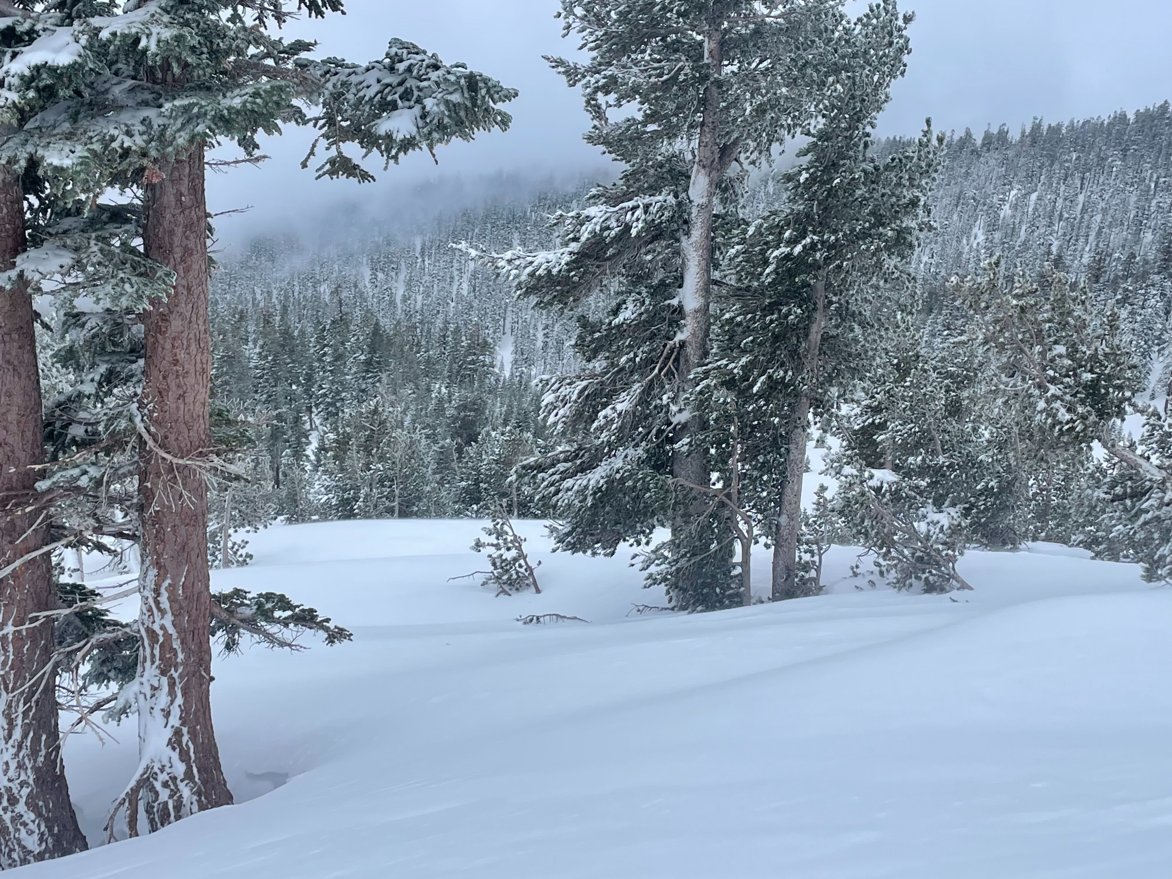
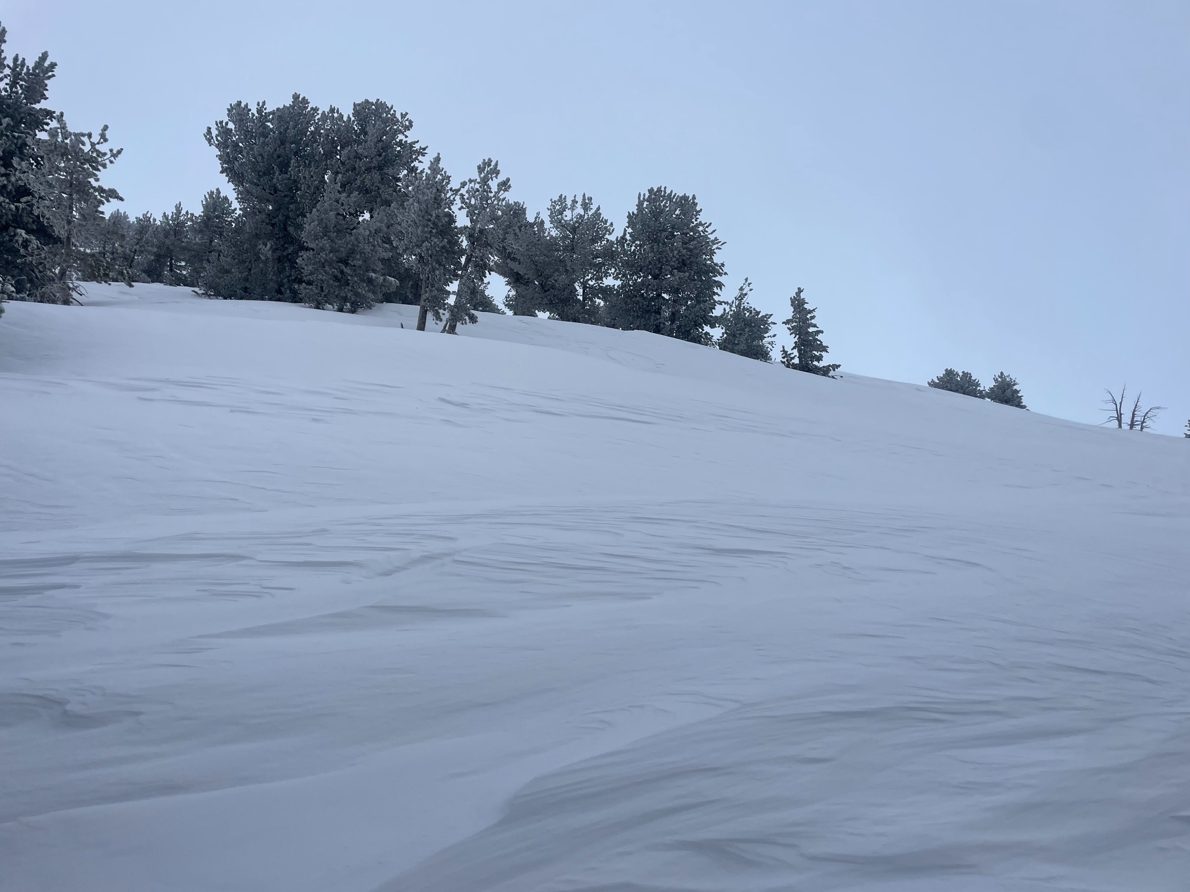
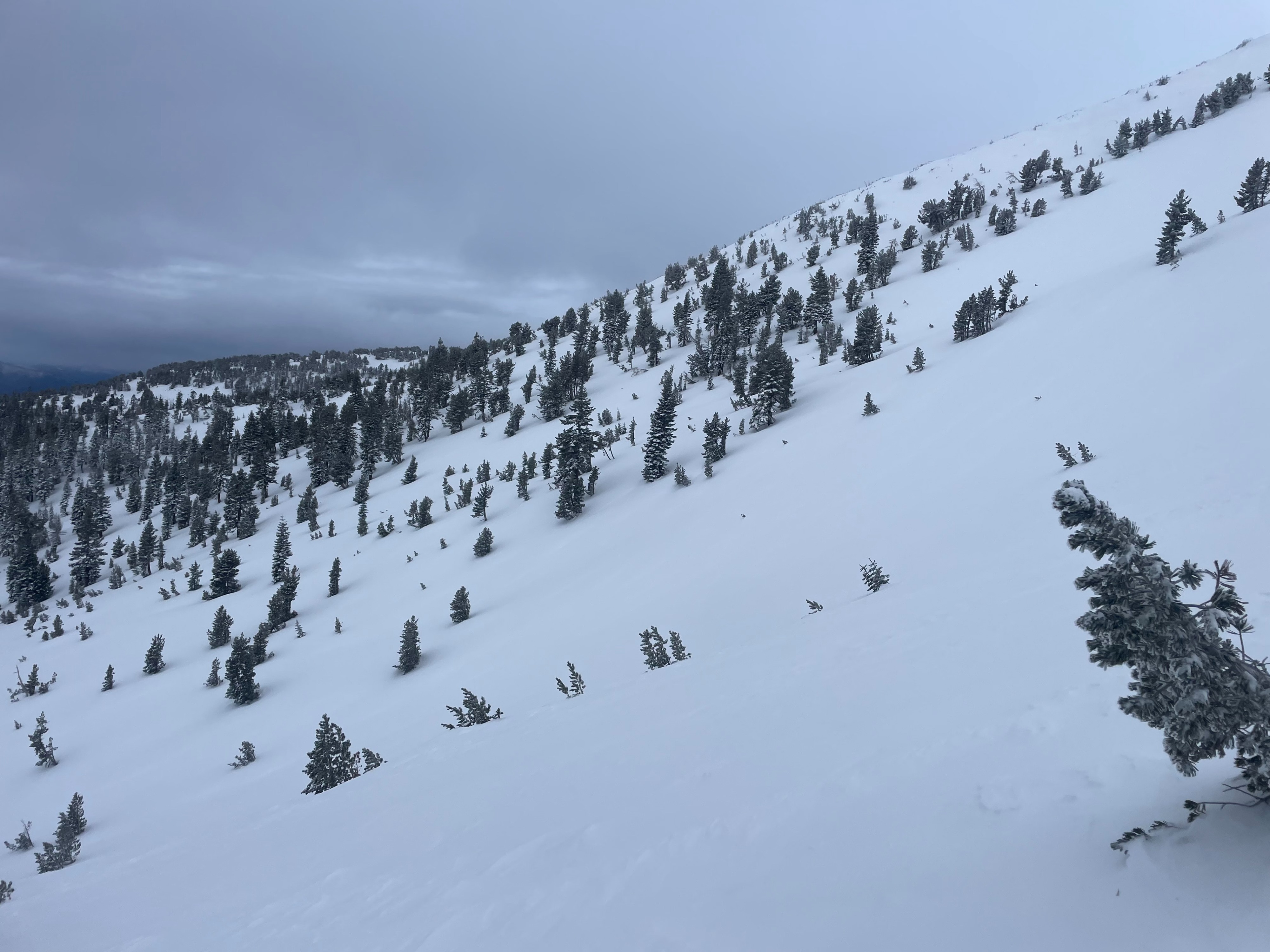
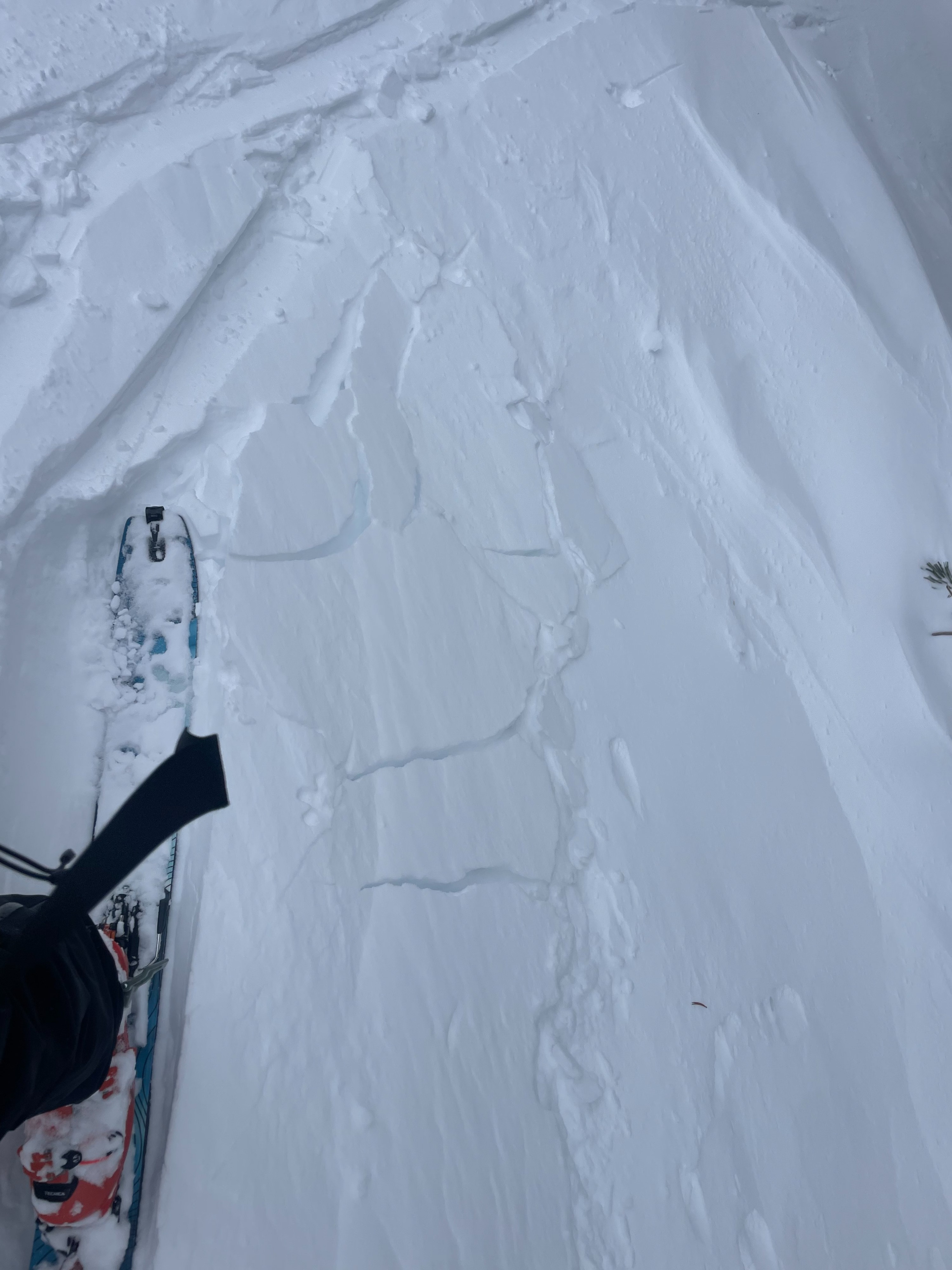
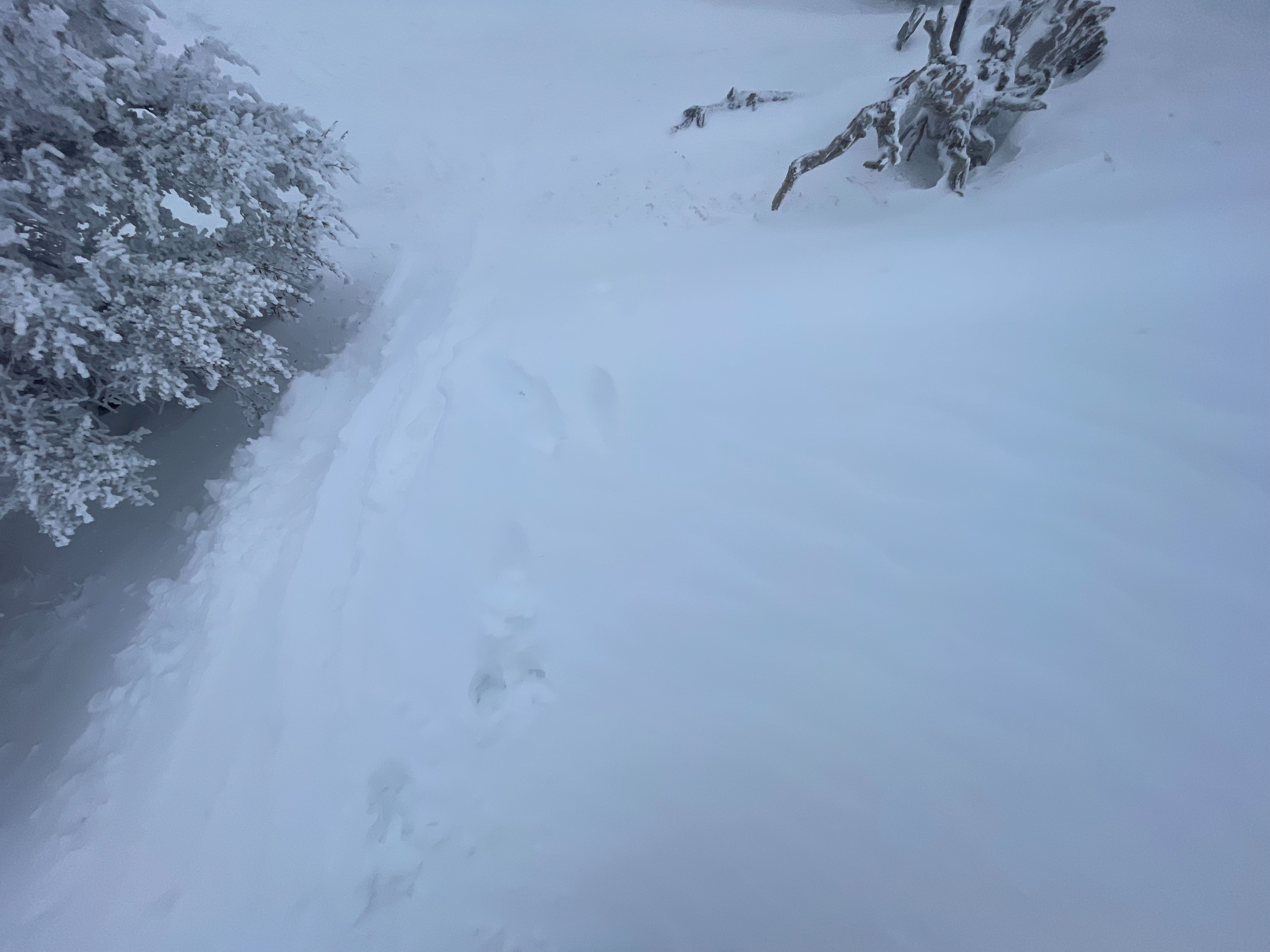
Today's objective was to assess the new snow and subsequent wind effect across the south side of Mount Shasta. Around 20 cm (8 in) of soft snow has accumulated over the last 24 hours, sitting on top of a rain crust from earlier in the week. The westerly winds have surely impacted the upper elevation terrain, stripping areas down to ice, and depositing two to three foot wind drifts in other areas. Below treeline, the wind has had very little effect. Near and above treeline, wind effect increases with elevation. Small hollow wind slabs are abundant and reactive to trigger on exposed slopes in near treeline terrain.
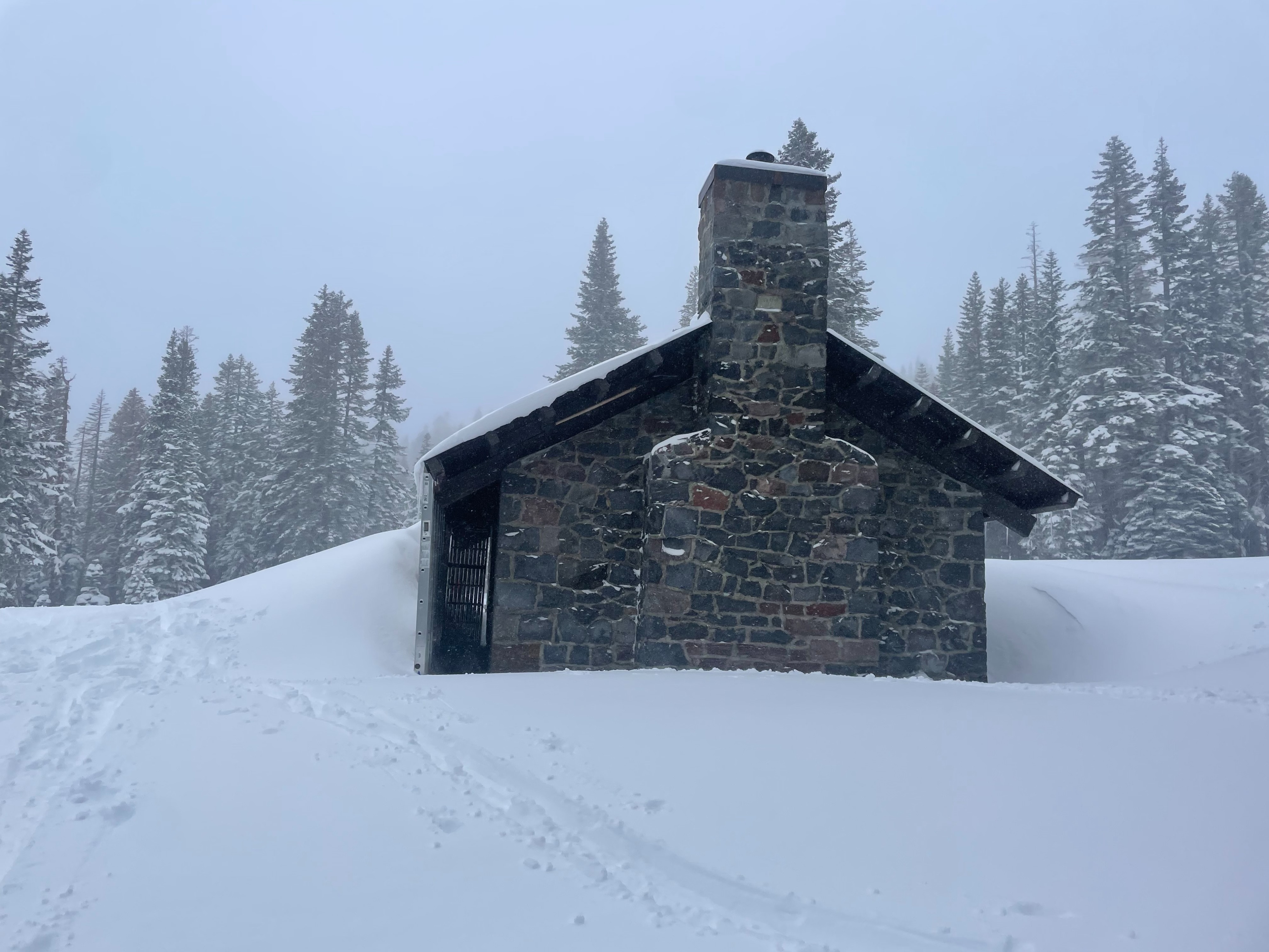
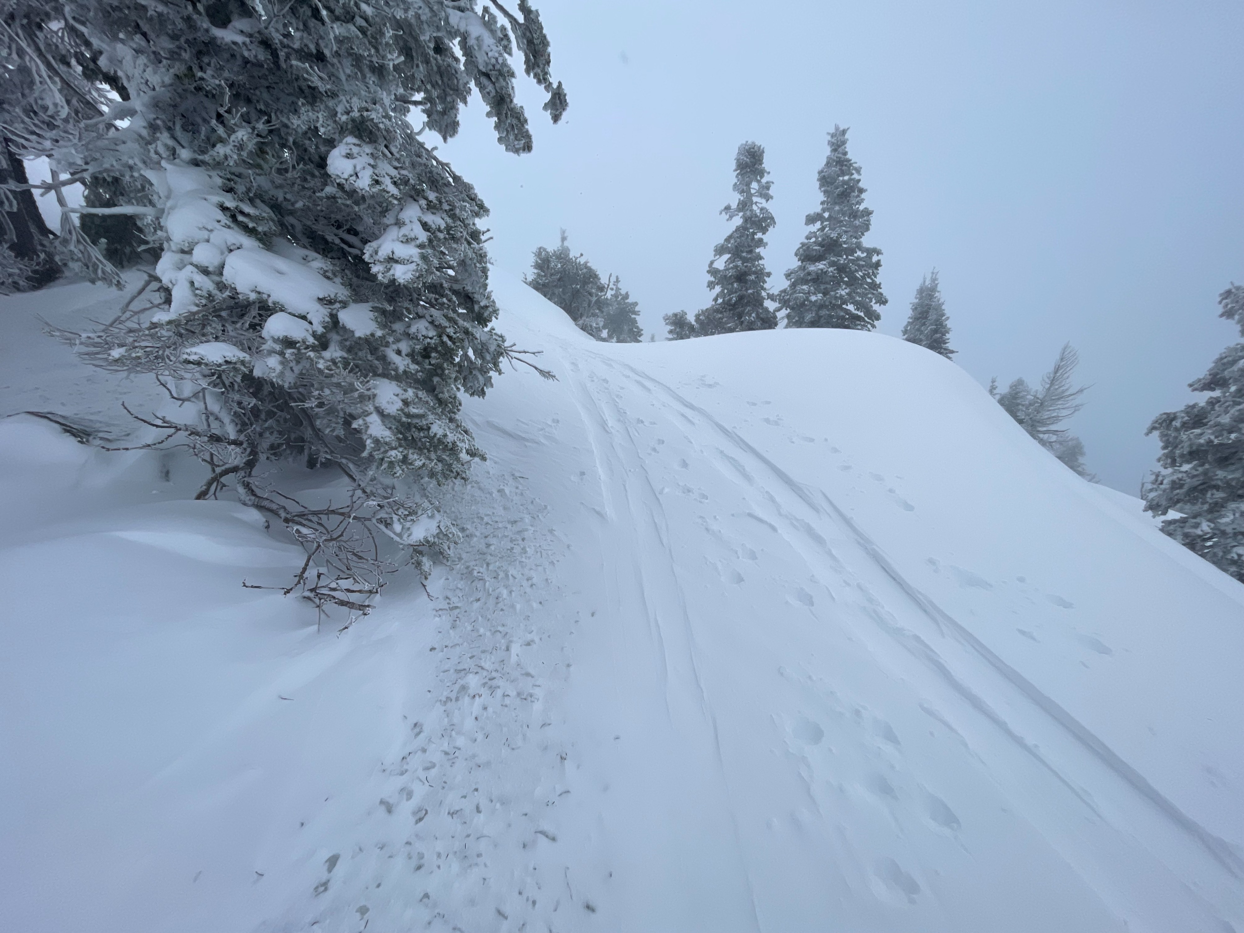
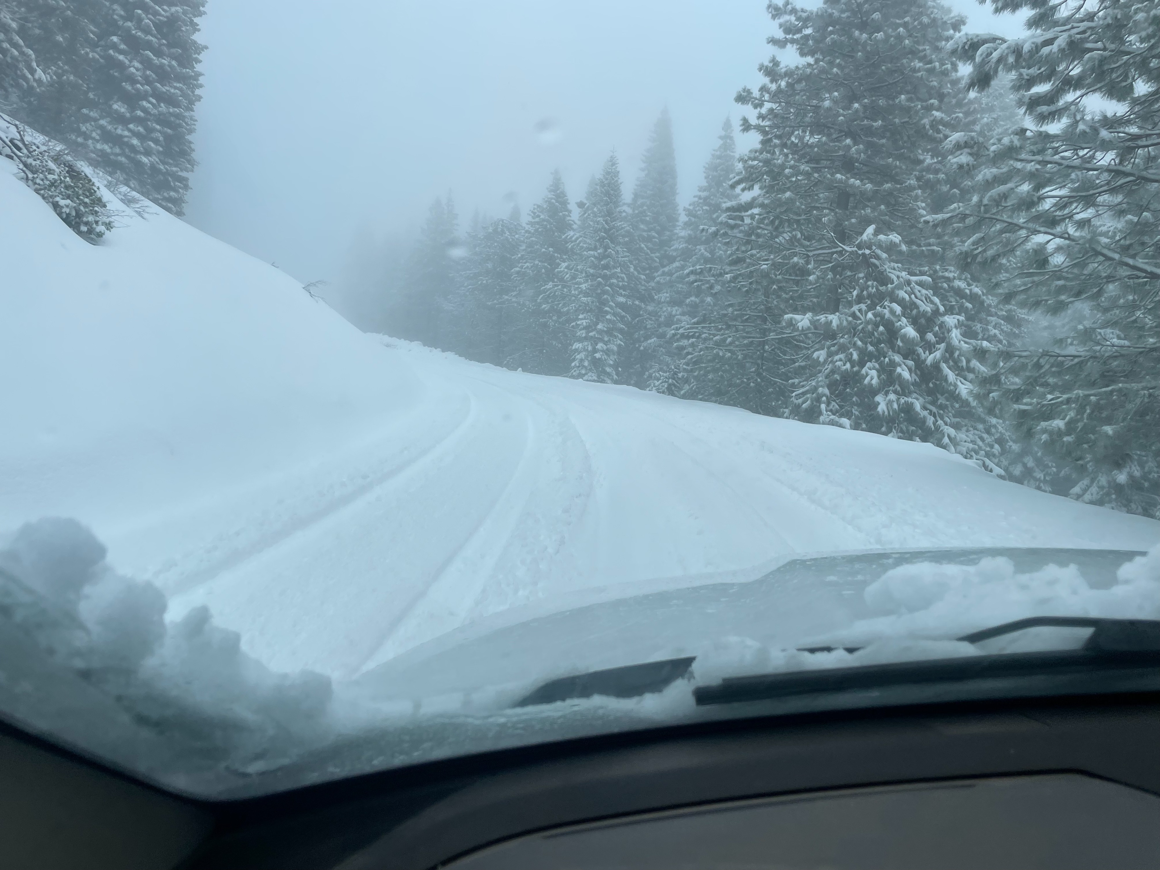
In addition, forecasters also observed snow conditions around the Parks Creek Summit area. Average snow depth is around 60–70 inches. At the moment, the 17 Road is drivable up ~3.5 miles. Near the summit, eight to ten inches of new snow was found, with one to two foot wind drifts. The new snow was moist and creamy, differing in consistency and water content from the dry snow found on the south side of Mount Shasta. A stout west wind scoured exposed slopes near treeline, resulting in patchy snow and ice. The west wind was actively transporting snow throughout the day, loading northerly and easterly aspects. Stability tests were unremarkable.
In most areas below treeline (except for the most exposed), wind effect was minimal, and no obvious signs of instability were observed. Terrain near and above treeline was a different story. With elevation increase, signs of wind slab instability became more abundant. Hollow sounding slopes, large lens-shaped drifts, and active wind transport were all obvious and widespread.Weather
- Air Temp
- 21
- Cloud Cover
- obscured
- Wind Loading
- moderate
- Rain Elevation
- 5,000
- Recent Snowfall
- 20
- Snow Avail For Transport
- moderate amounts
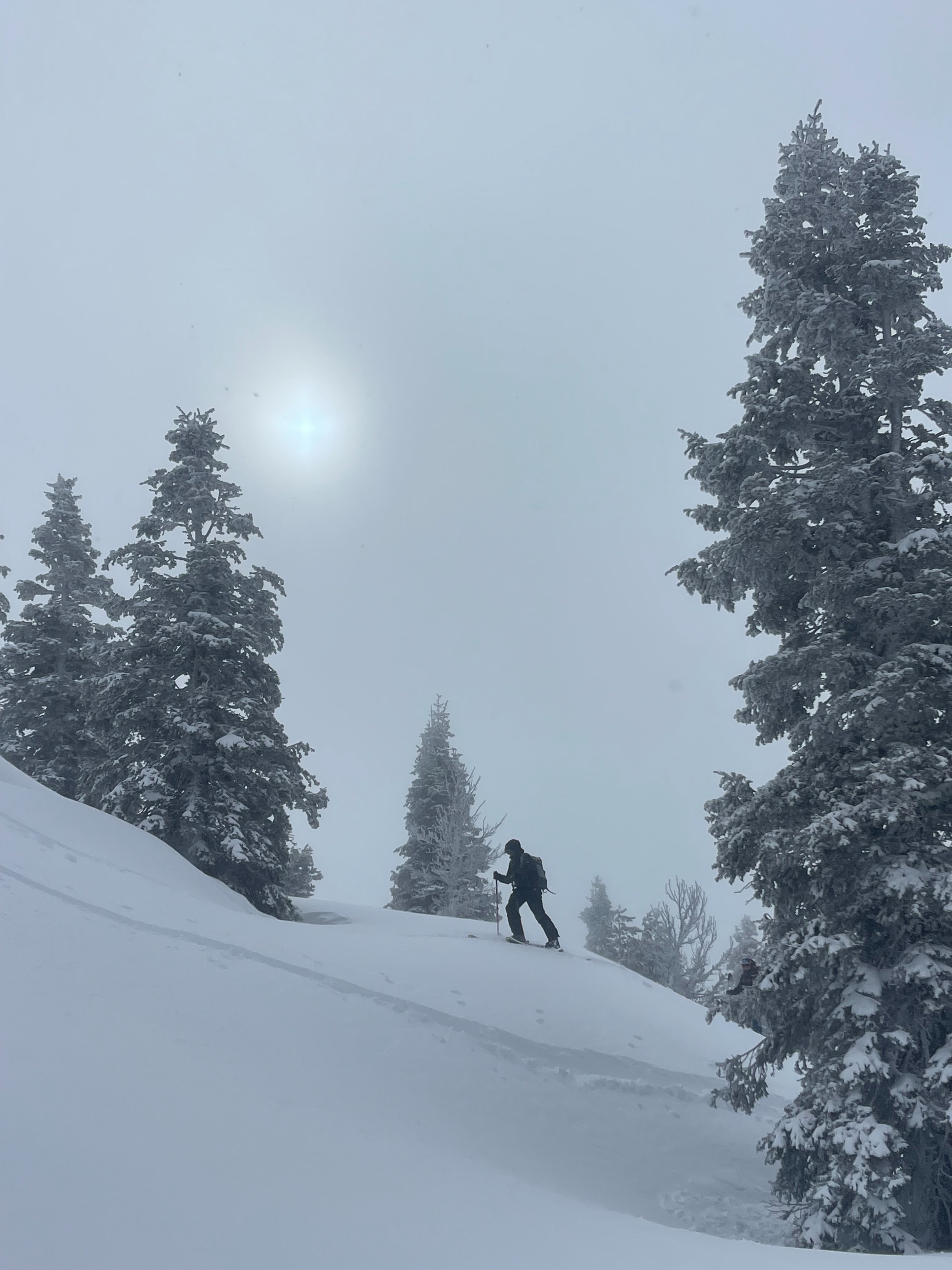
Snow continued through the morning and early afternoon at moderate rates (SN-1), then trickled off in the late afternoon. Near treeline and above, the westerly wind blew at sustained moderate speed, with strong gusts. Below treeline, the wind was mostly unnoticeable. Temperatures stayed relatively cool at areas above 7,000 feet. At lower elevations, warming increased through the day. Visibility remained poor, shifting between 500 and 1000 feet.
Snowpack
Roughly 20 cm (8 in) of soft, dry snow was found sitting on top of the rain crust from earlier this week. The relatively cold temperatures preserved the new snow from dampening at all through the day. Snow depth continues to build across the south side of Mount Shasta. At Horse Camp (7,900 feet), snow depth is around 210 cm (82 in). At 7,200 feet, there is 135 cm (53 in).