
Quick report
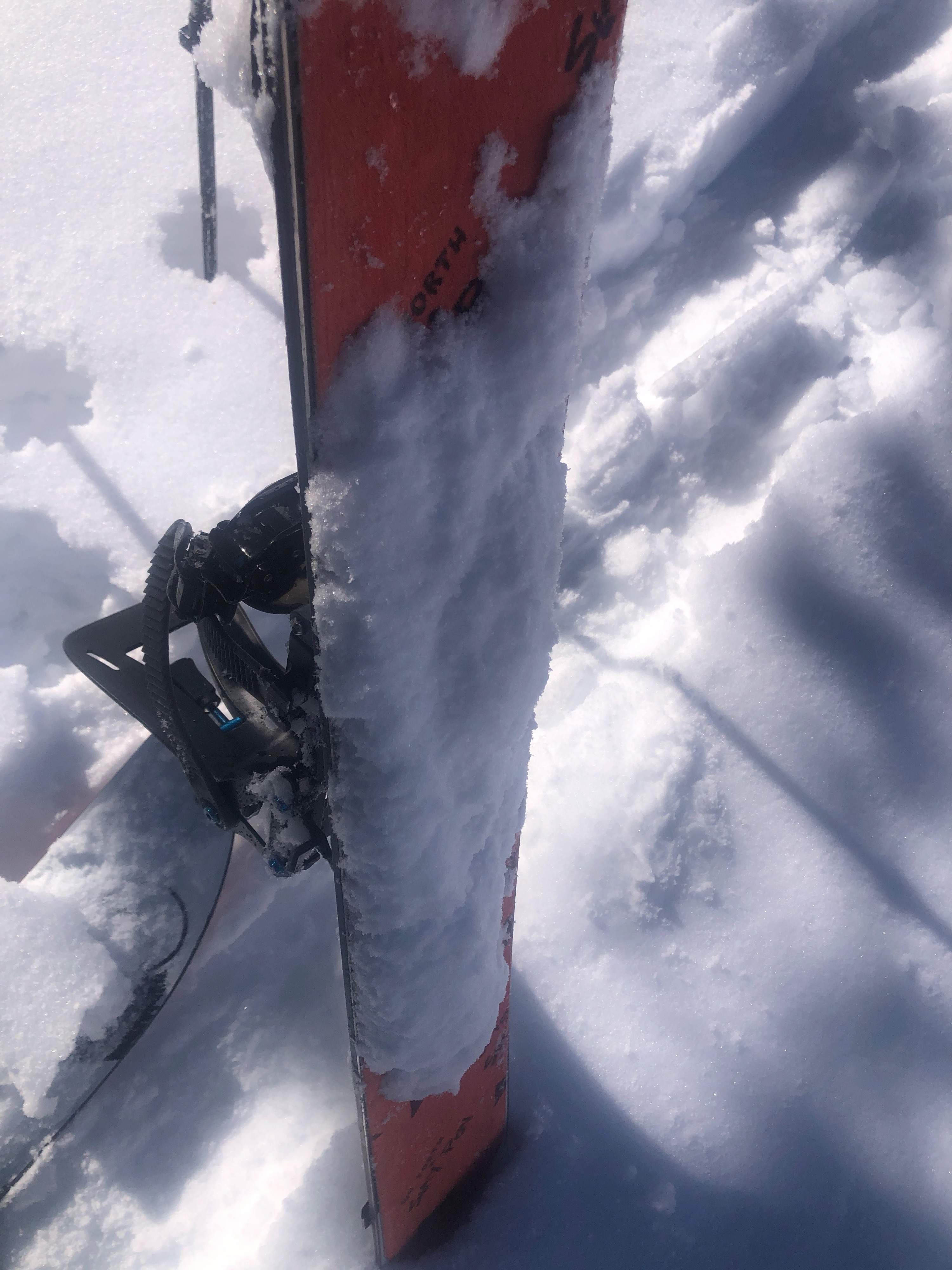
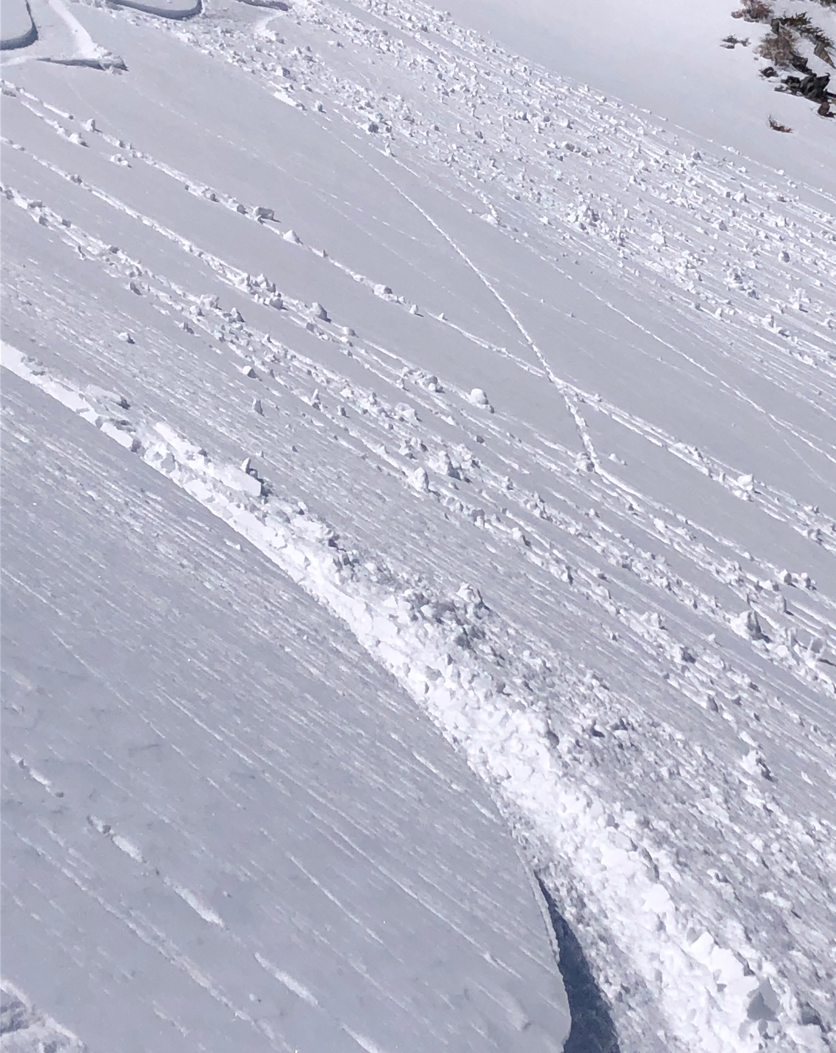
I went out at peak warmth of the day to assess how the snow was transitioning. I was surprised at how well the snow was holding, compared to the temperatures I was observing. I experienced an excessive amount of glop as I traveled uphill, and experienced crusts, dry snow, wet snow, and sticky mushy snow as I descended. I could not get any wet loose to slide, but I experienced transitional snow and wet snow in most places. Only the most sheltered, shaded, higher elevation north slopes held mostly cold dry snow. Winds were light and inconsistent in direction. Old wind slabs were observed, and I was able to produce cracking. I did not get much to move.
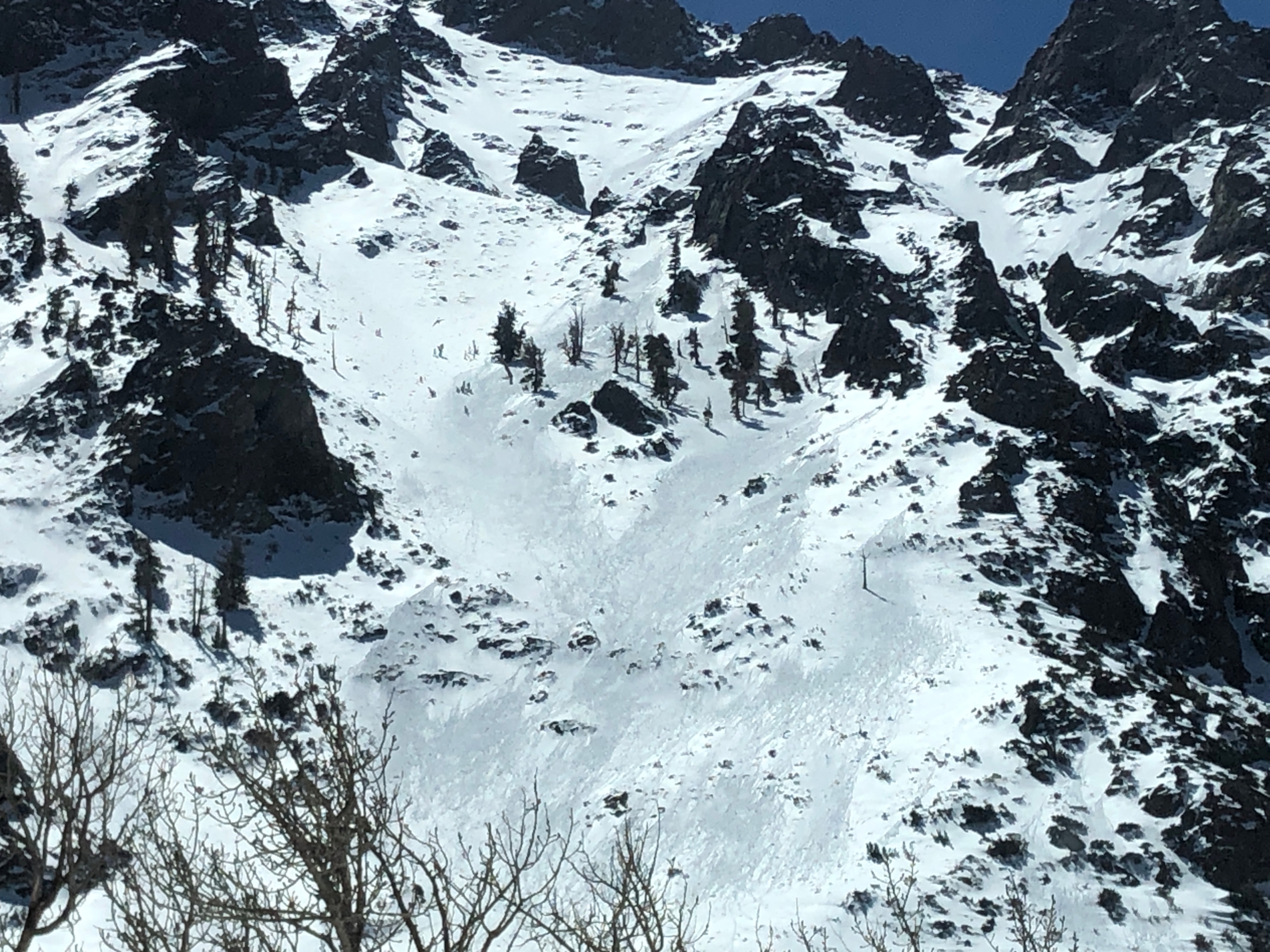
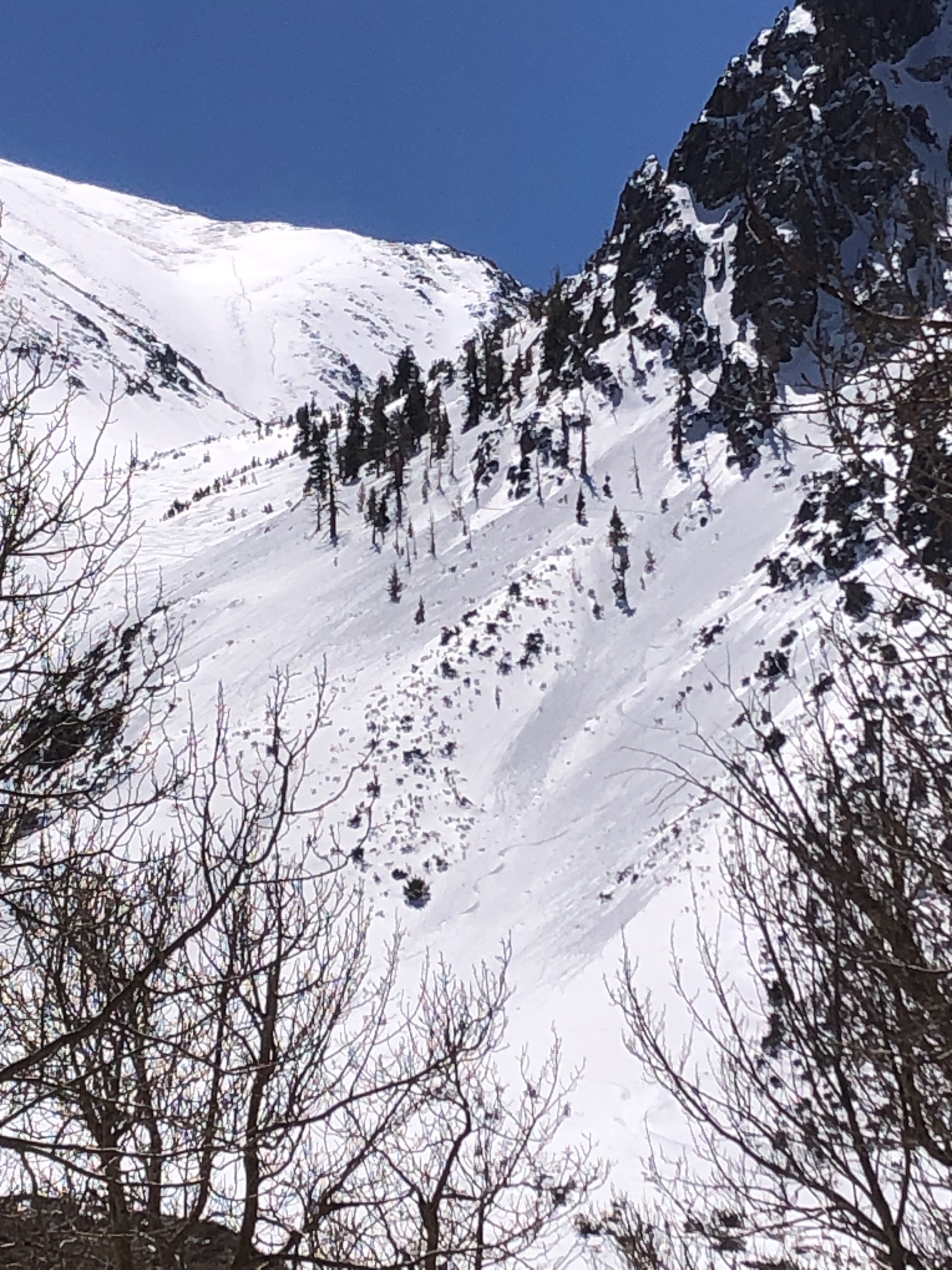
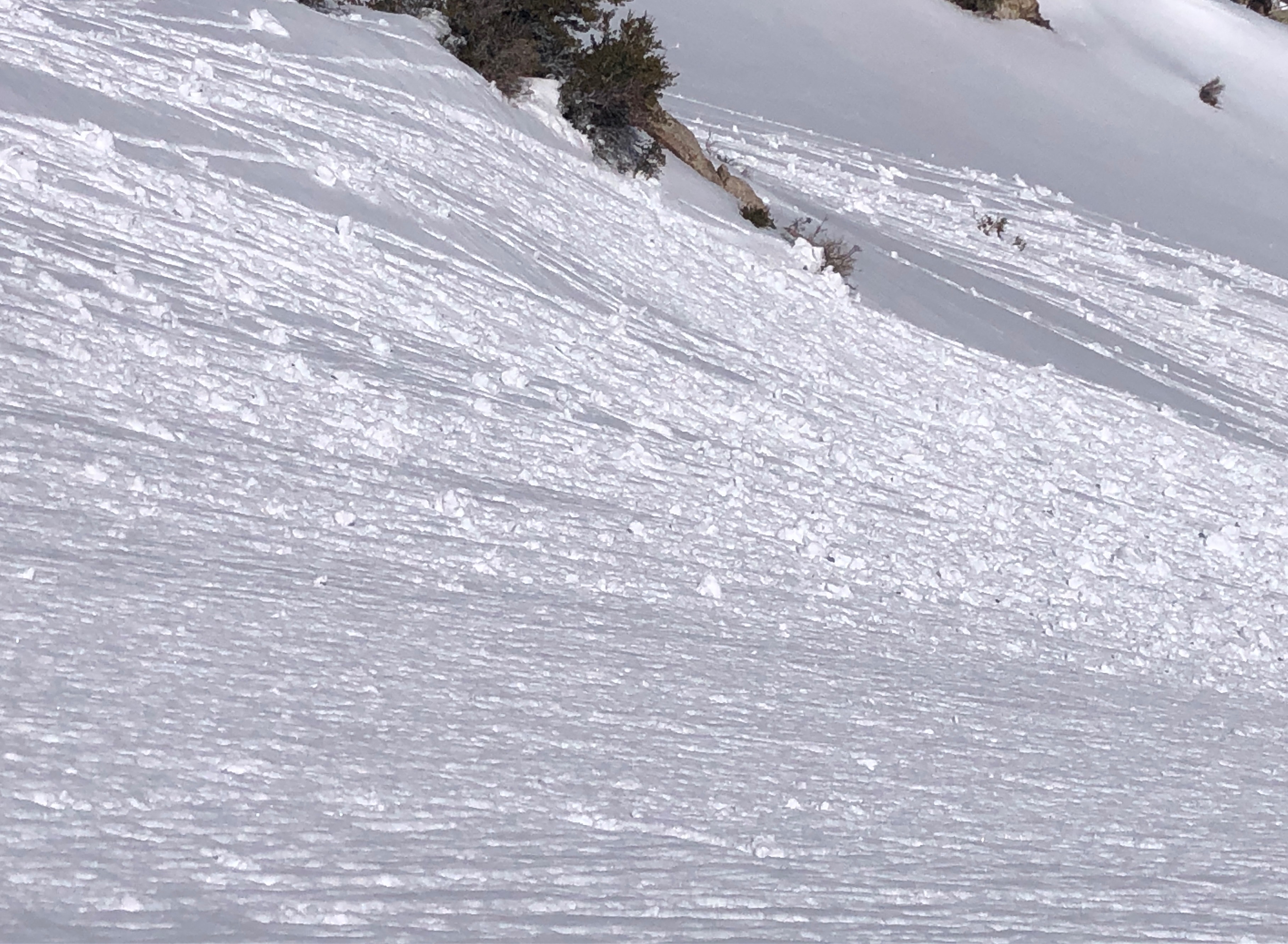
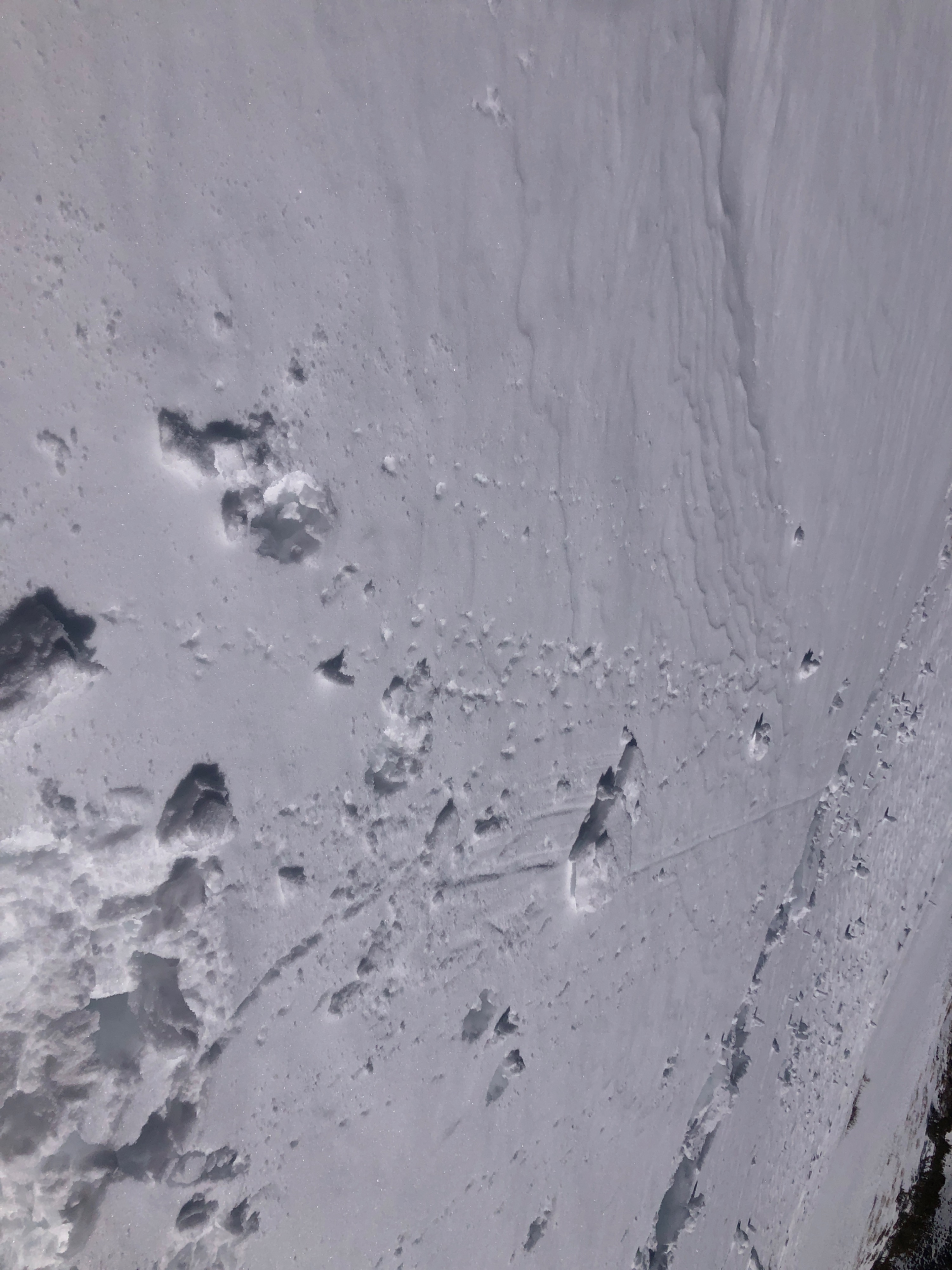
I observed lots of "shedding" on my drive to the TH past the McGee zone in areas specifically with lots of radiators. Lots of rollerballs and point releases.
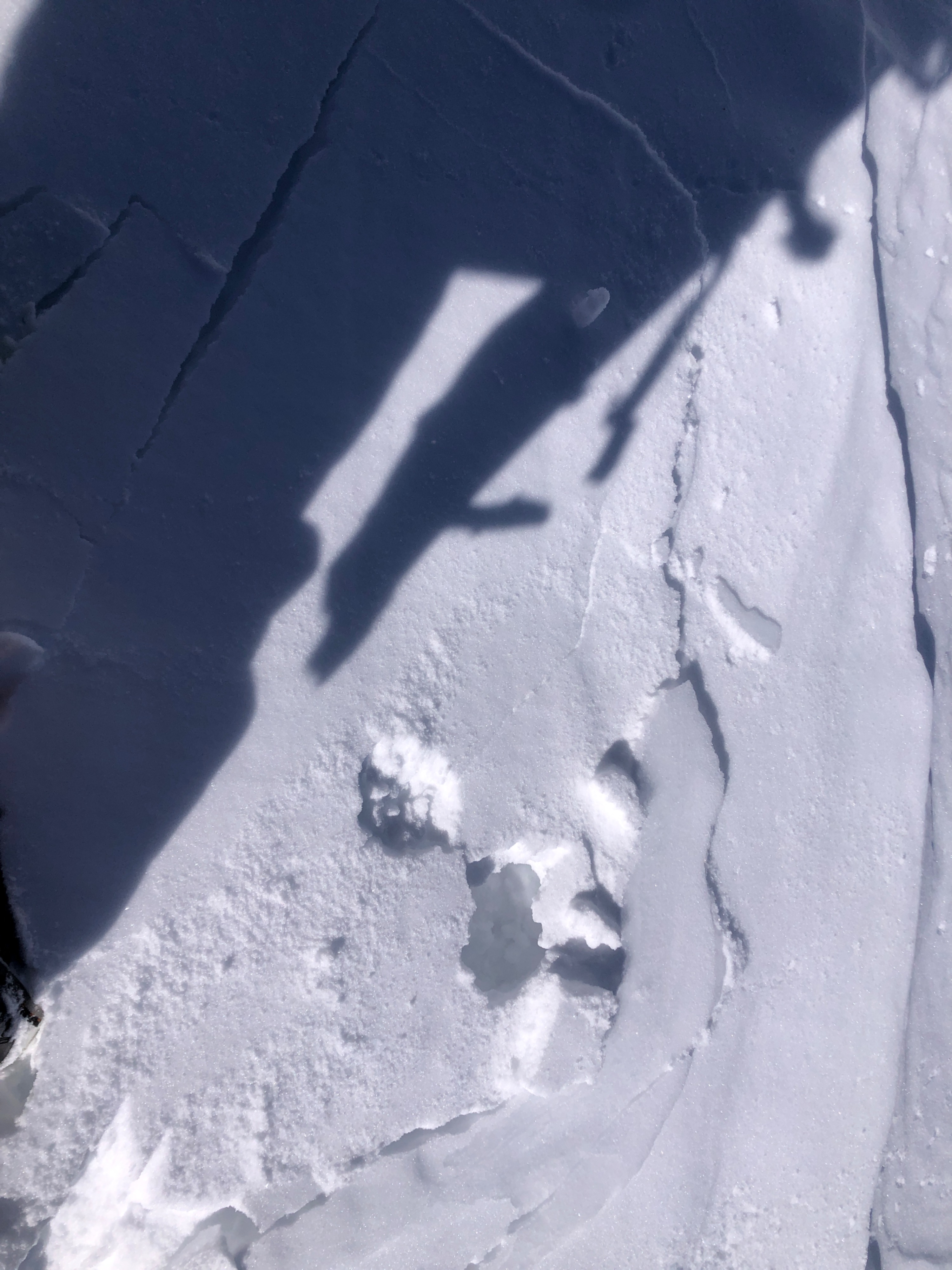
Was able to trigger plenty of rollerballs, but only a couple very very small wet loose avalanches on test slopes.Weather
- Air Temp
- 50º
- Cloud Cover
- clear
- Wind Loading
- none
Clear, warm, calm winds. Temp @ TH @ 12 pm was 50º. Temp @ TH ~ 4 pm was 53º. Looking at overnight temps in the area, most warming seems to have happened during the mid morning hours. Light gusts of wind in various directions near ridge top.
Snowpack
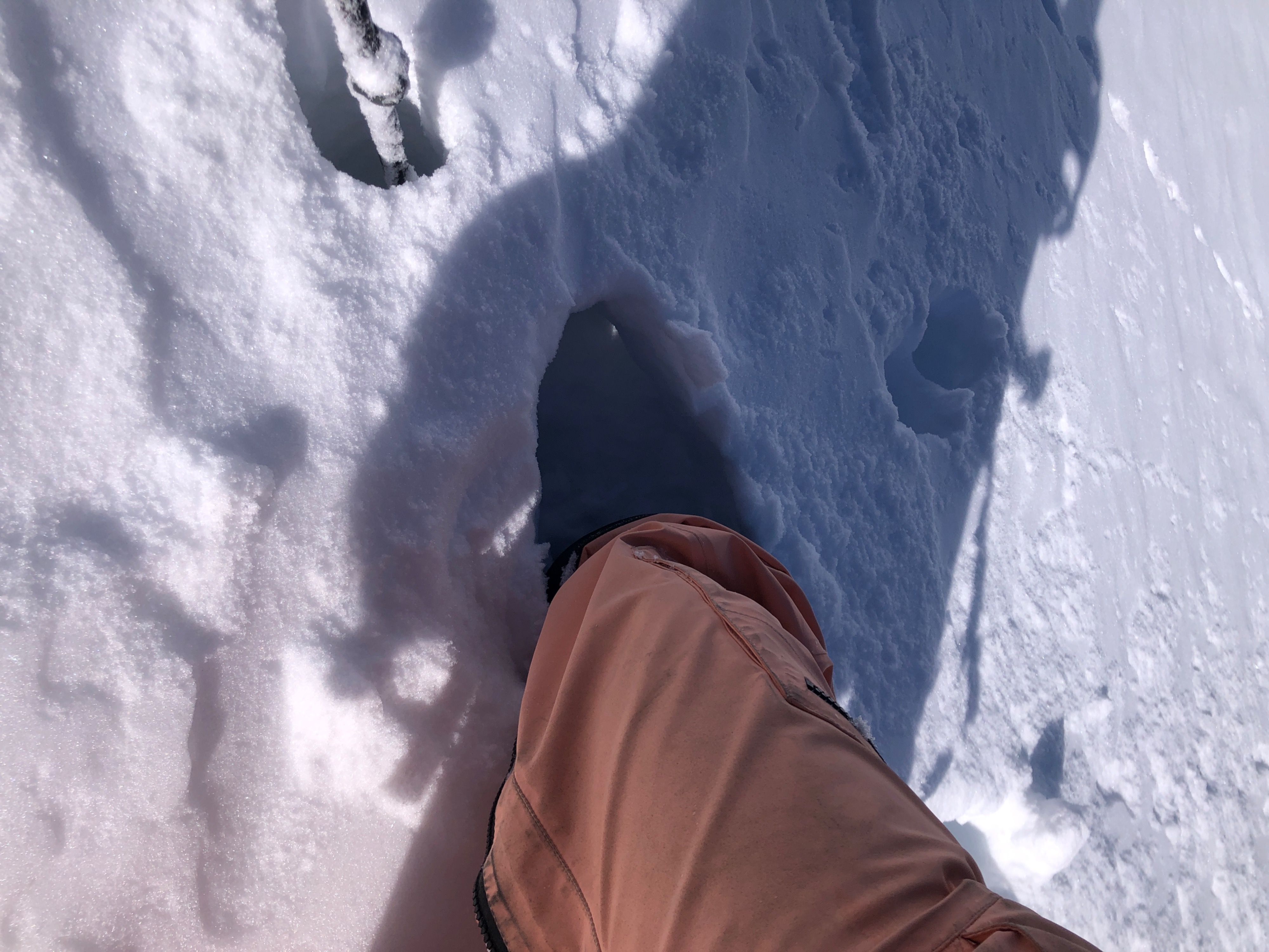
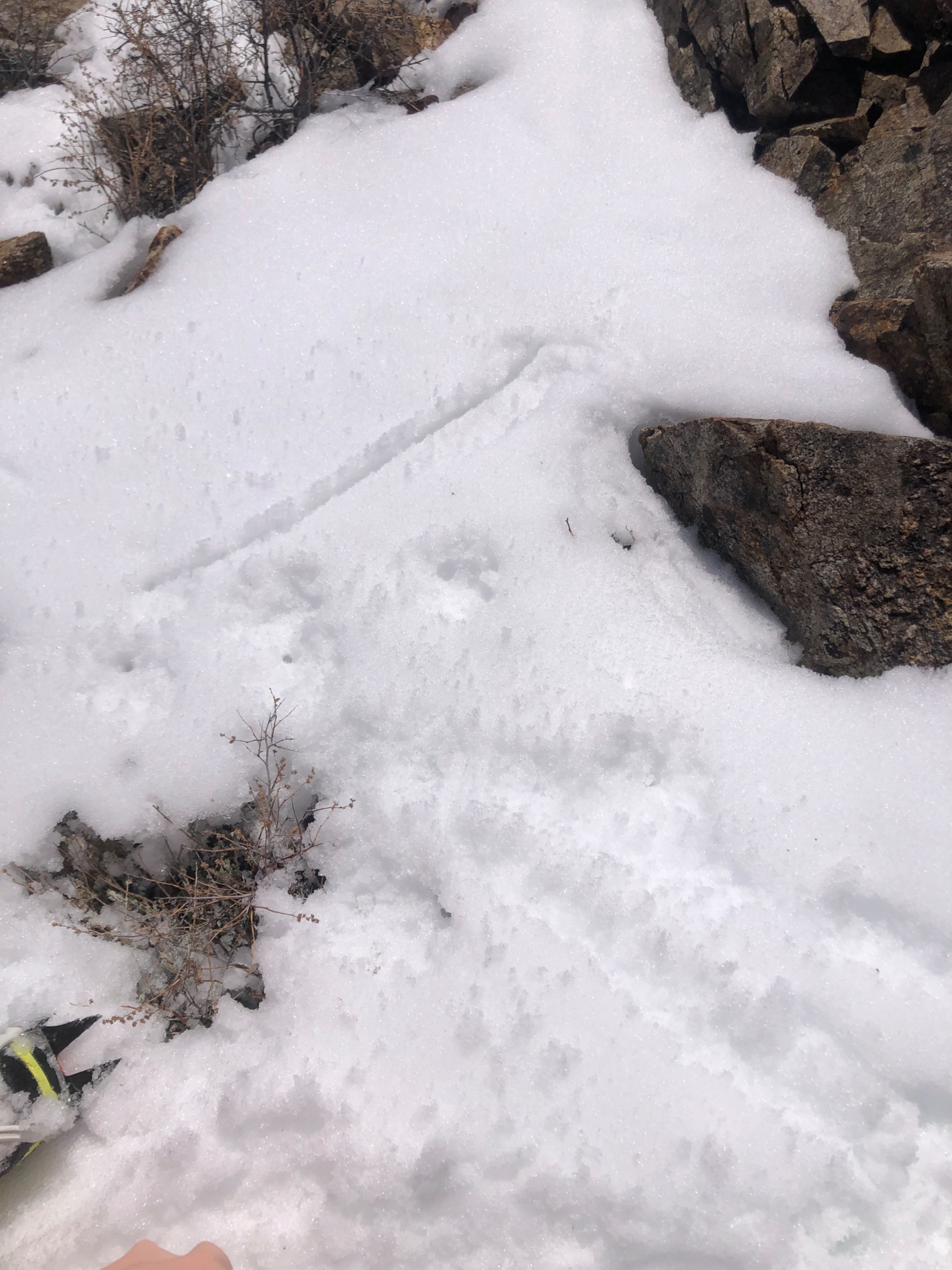
1 - 4 inches of "new" snow from the last 48 hours observed above 8500'. Snow sits atop a variety of surfaces including precipitation particles, near surface facets, and in some areas, a thin melt freeze crust. This snow is transition, but to what extent depends on aspect, elevation, and specific characteristics within terrain features. S/E - wet snow down to MFcr, or if no crust, down up to 9 inches. N - wet snow only up to 3 in. Some areas still holding cold snow. Ski pen varied from 0 cm to 15 cm, boot pen varied from 0 cm to 95 cm.