
Quick report
I ventured to assess warming and wet snow instabilities today.
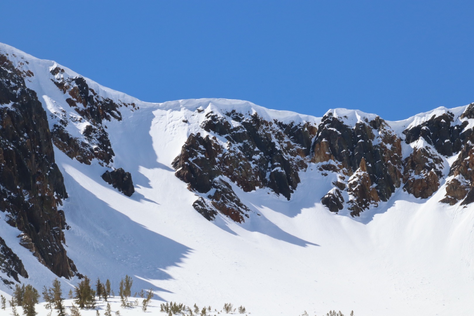
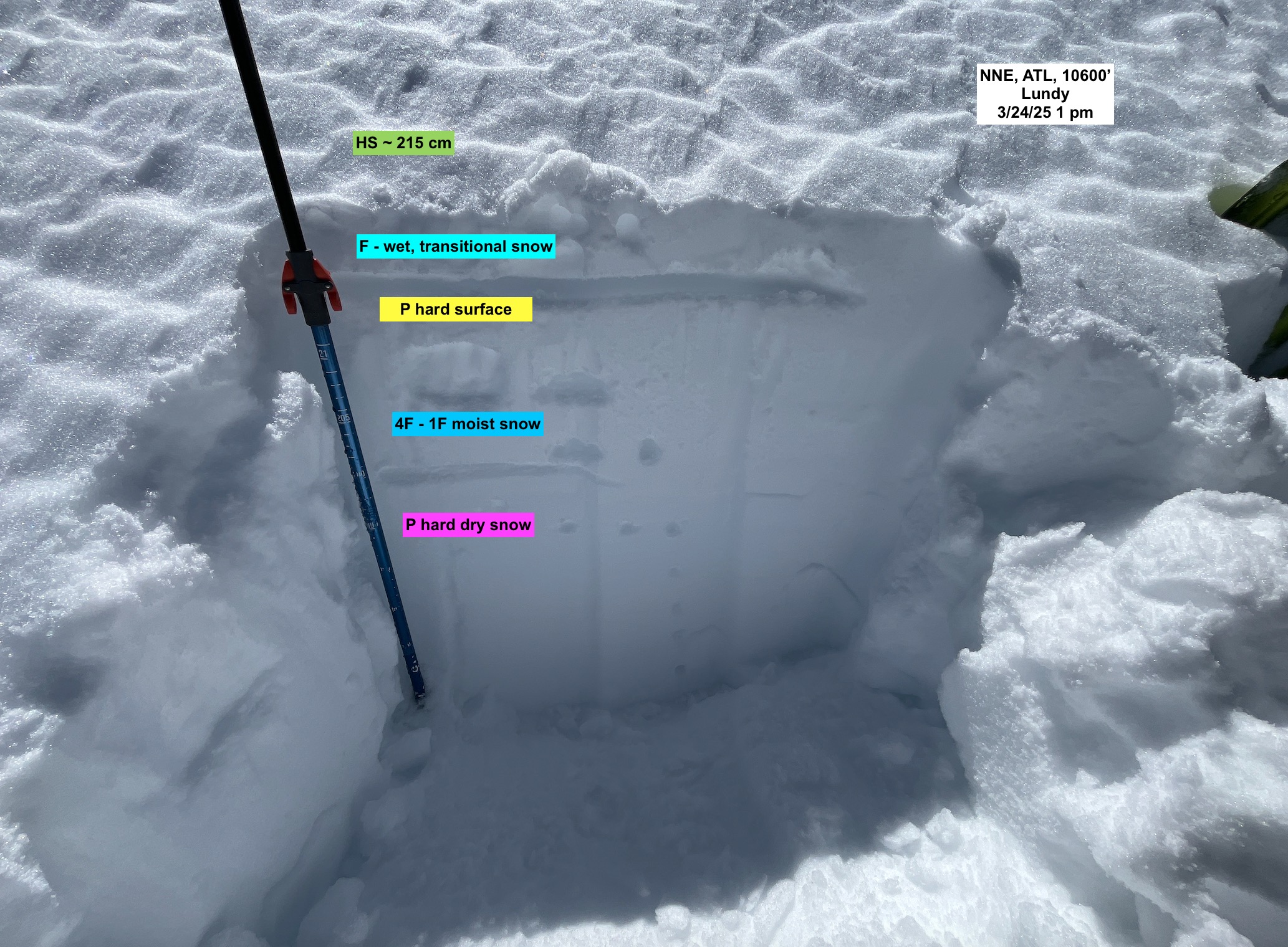
- I was surprised to see that most slopes had already slid, or had some sort of rollerballs, fanning, pinwheels, or rain runnells. It rained in this area on 3/22, and snowed up to 3 inches at higher elevations. This snow sits on a P hard surface, either a crust or an old wind affected surface.
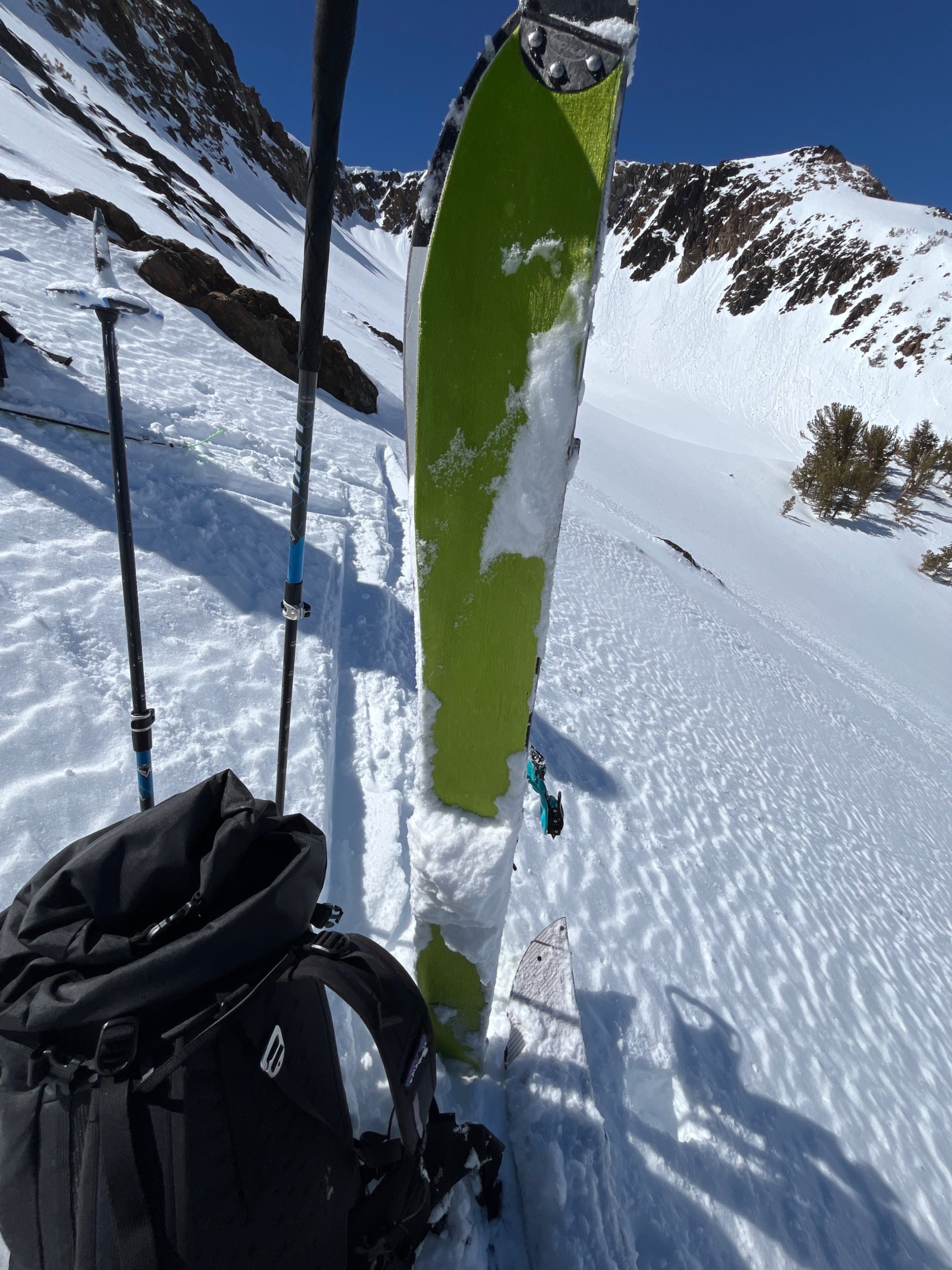
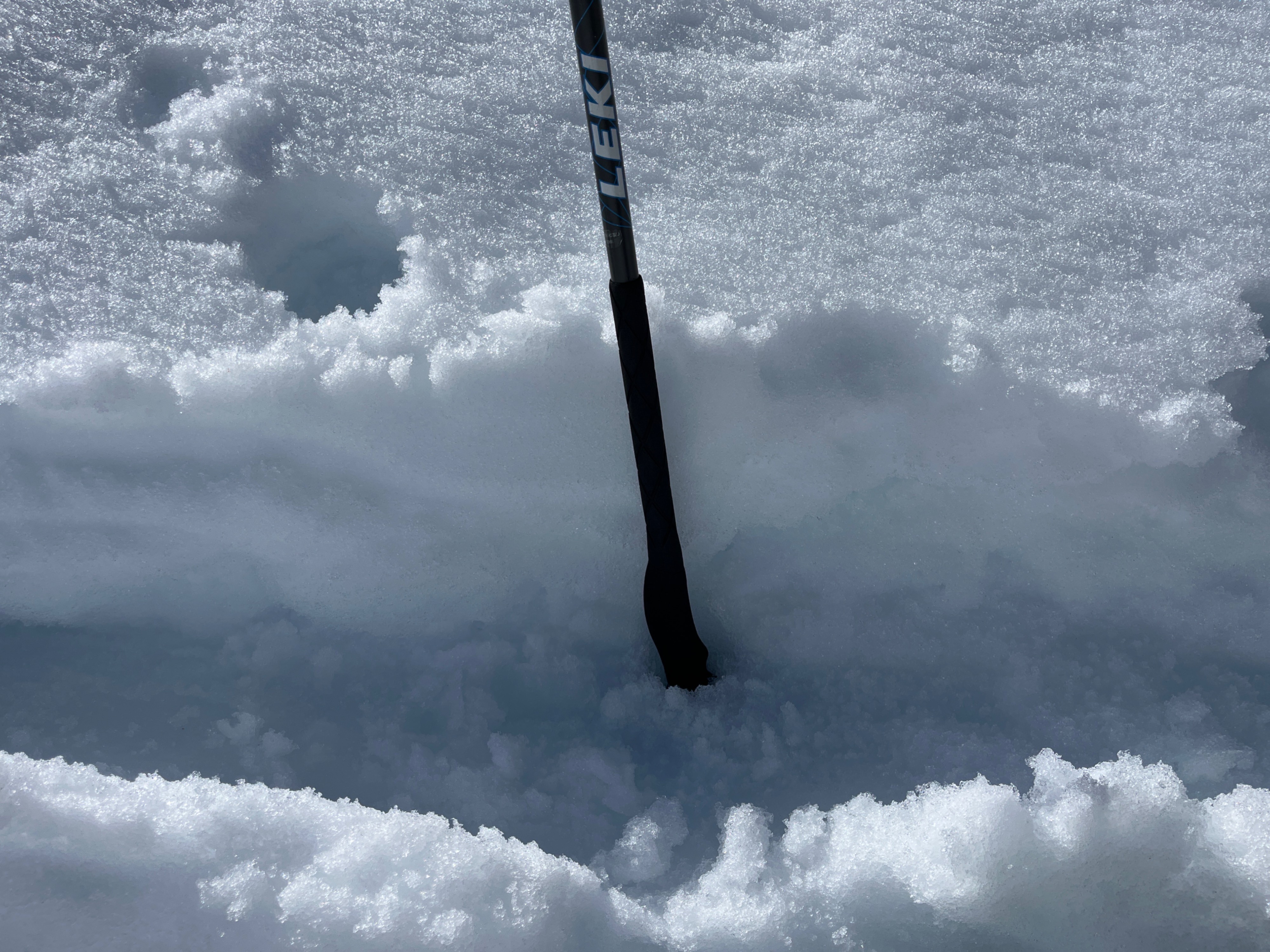
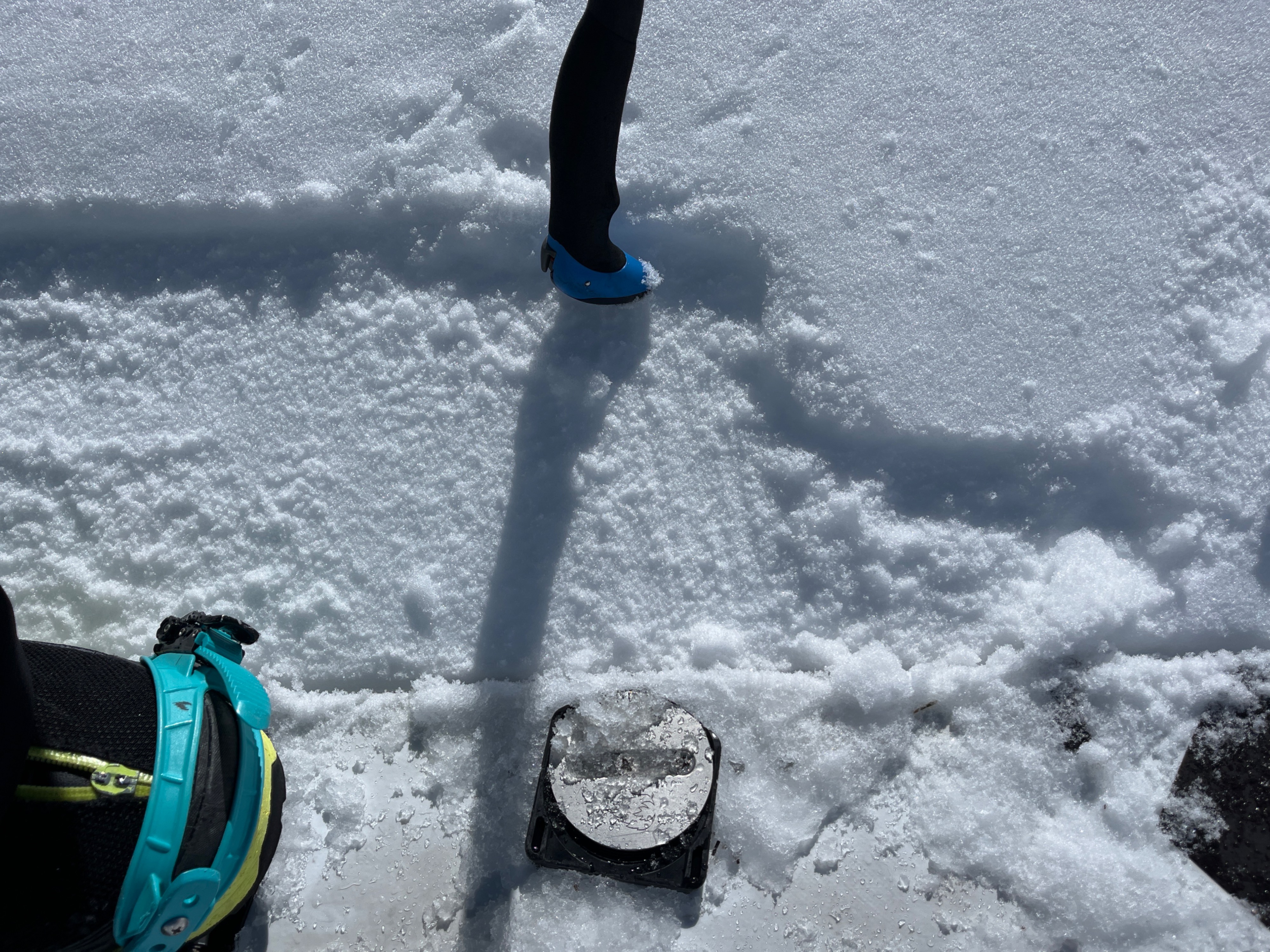
- During my travels, I was able to determine that today was the first day non southerly slopes above 10,500 in this area saw significant warming. Even still, WL activity was limited to rollerballs and fanning, except for in isolated areas. NE held wet, transitional surface snow, while NW held cold, dry surface snow until at least 2 pm, when I descended to lower elevations. Direct sunlight had yet to hit NW slopes.
Most surfaces have up to 10 cm of melt-forms below 10,000'. These surfaces were frozen and only sometimes supportable in the morning hours. Northerlies held dry snow beneath this layer in the morning, with some near surface facets just above and below the crust. Southerlies held moist snow beneath the frozen melt forms in the early morning hours, and wet to moist snow to the ground below 9000' by the early afternoon.
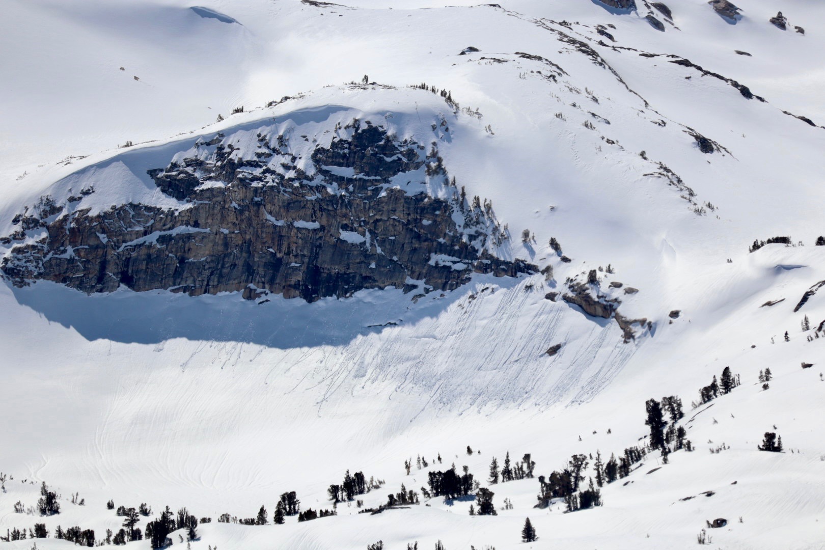
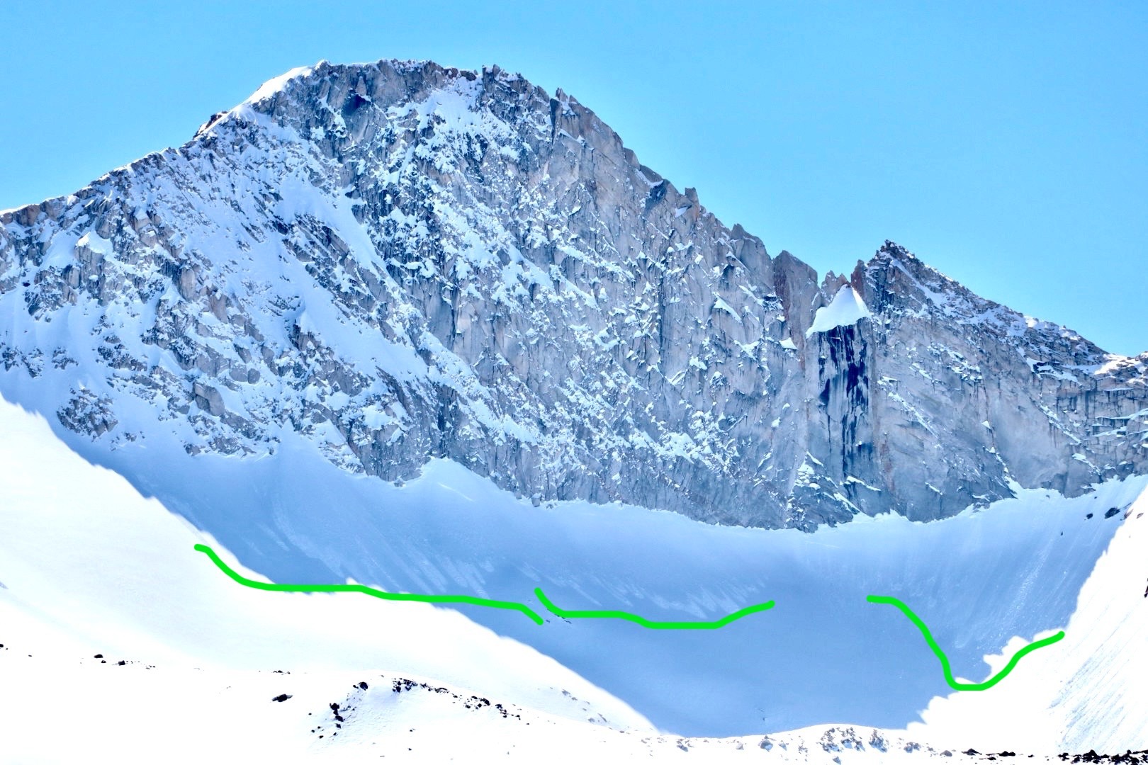
Many D1 - D2 Wet Loose slides observed on all aspects and elevations below 11,000'. Most slides observed in the early morning hours, meaning they slid either 3/22 during the rain/snow event, or during the warming on 3/23.Weather
- Air Temp
- 50
- Cloud Cover
- clear
Today was warm, with clear skies, and mostly no winds. Ridgetop winds above 11,000' were moderate from the southwest.
Avalanche
- Size
- D2
- Type
- WL
- Count
- 3
- Aspect
- E
- Trigger
- N
- Elevation
- 9500 ft
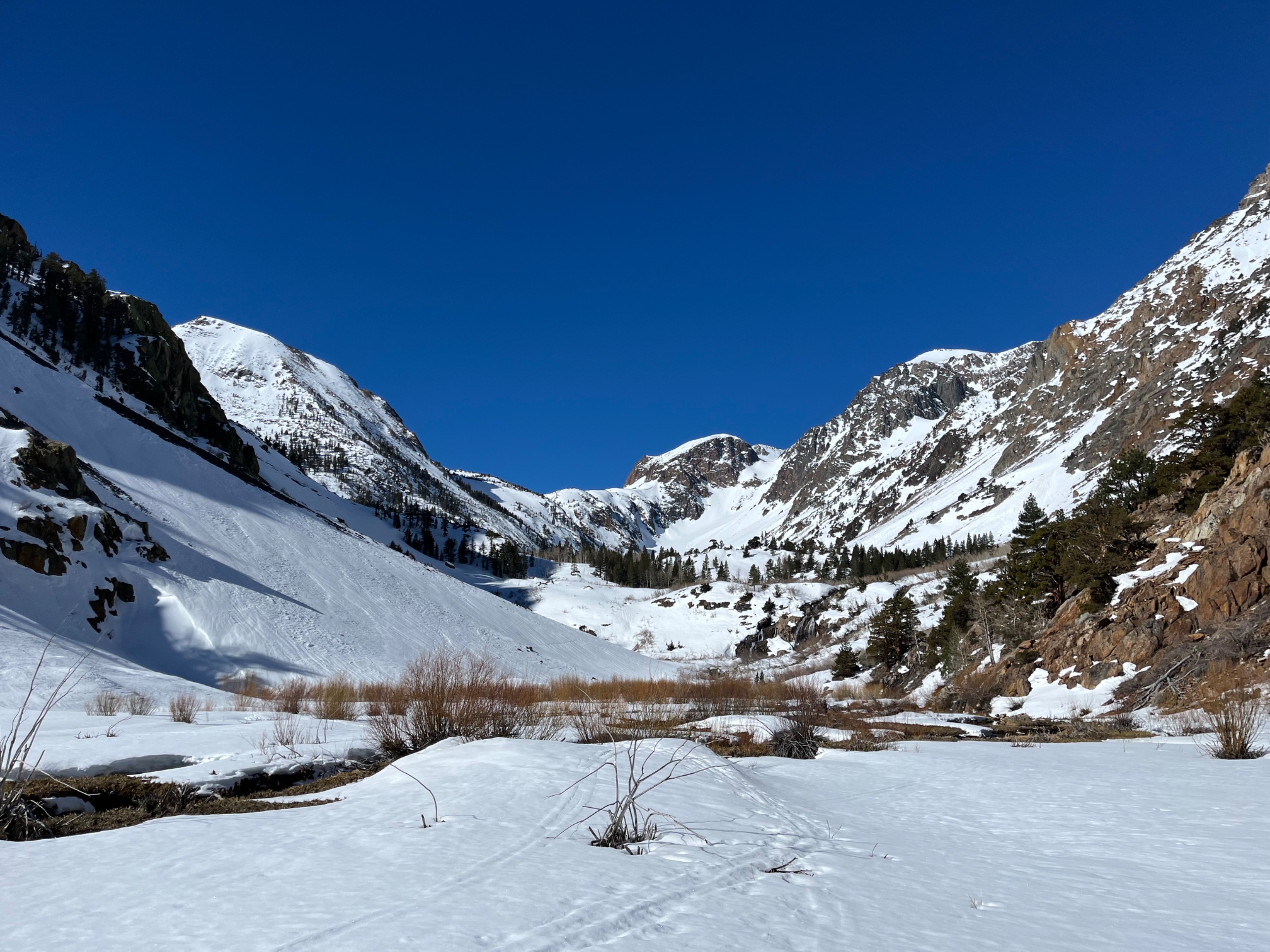
1 D2 avalanche in photo, and another D1.5. Both visible @ 9 am on 3/24, likely ran during 3/22 rain event or 3/23 warming.