
Quick report
- Cracking
- specific
Today's jaunt proved very informative.
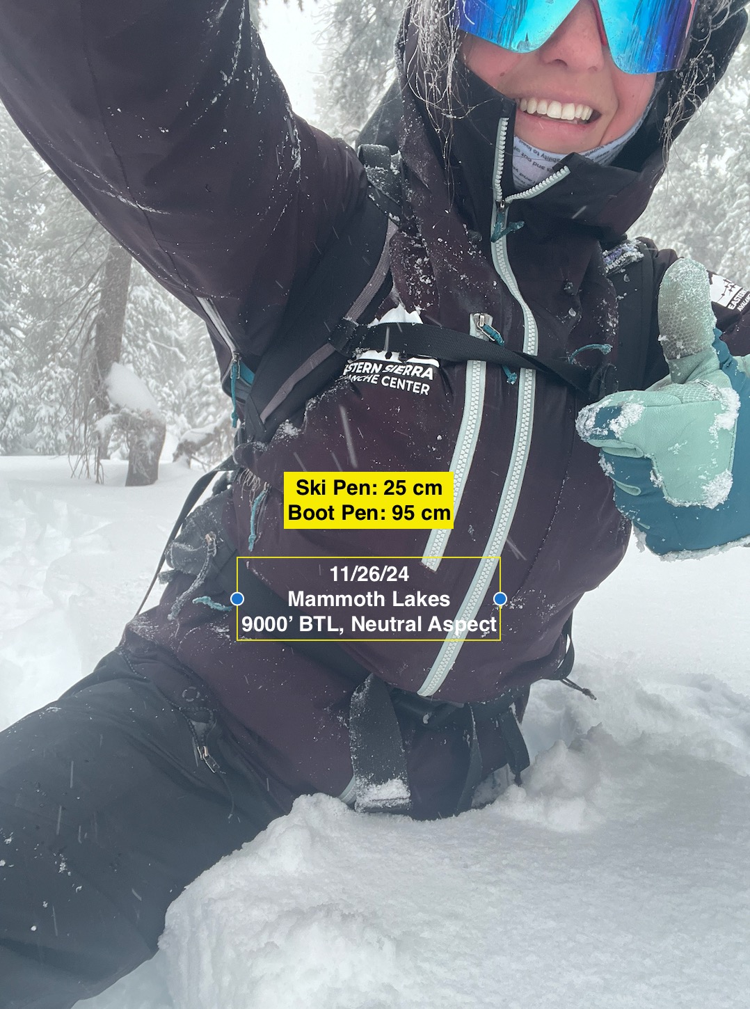
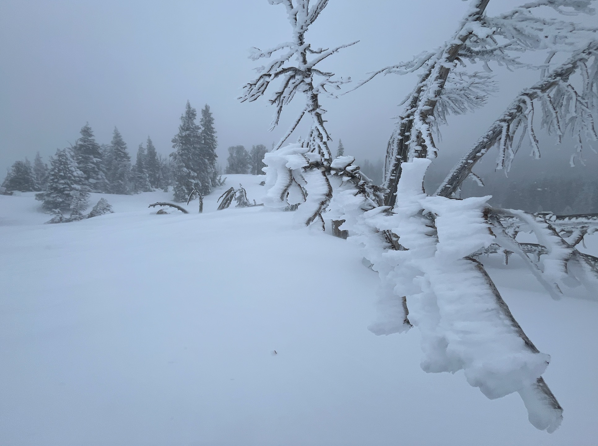
The Mammoth Lakes area by the crest received an average of 3 ft of snow in the last 24 hrs. Some areas of extreme wind loading have pooled up to 250 cm. I expected significant storm slab instability, however things in the upper snowpack seemed to have stabilized a bit by the time I was touring today. Despite limited signs of storm slab instability, I dug to ground and found 2 LAYERS OF CONCERN burried deeper in the snowpack. I also experienced incredible amounts of active wind loading and wind related instabilities with a large amount of snow still available for transport on all aspects. I found wind stiffened snow on all aspects as well, suggesting the winds have been shifting a bit.
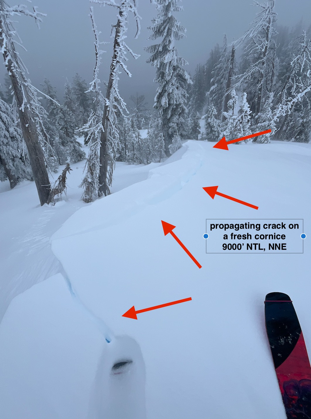
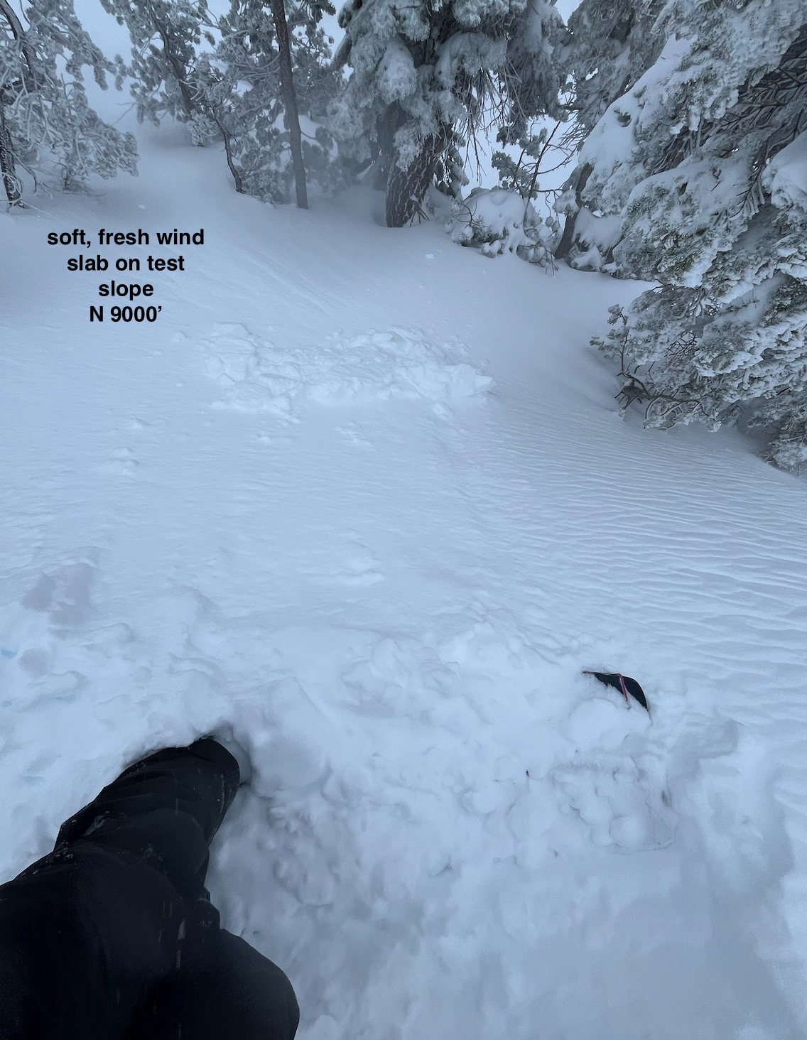
Cracking underfoot and propagating in areas of active wind loading and fresh cornice formation.Weather
- Air Temp
- 31/26/30
- Cloud Cover
- obscured
- Wind Loading
- intense
- Recent Snowfall
- ~ 100 cm
- Snow Avail For Transport
- large amounts
Moderate to extreme SW winds continuous throughout the day, increasing in intensity. "Relatively" warm, considering winds especially. White out conditions and on and off snowfall, including stellars, plates and graupel @ times.
Snowpack
BTL/NTL 9000' - 9300'
HN24 avg ~ 100 cm
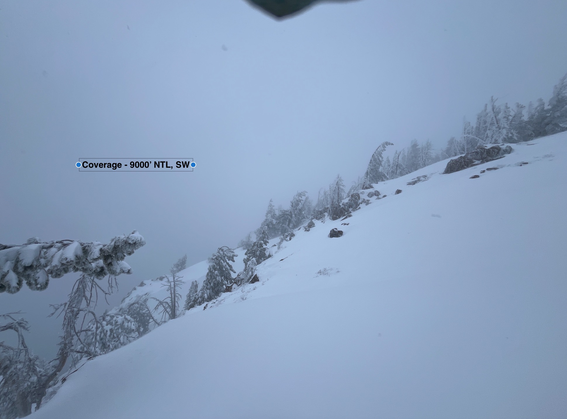
HS avg ~ 150 cm; 30 cm - 250 cm (wind transport a large factor)
A mostly right side up snowpack, with small density changes throughout. There is some swing between 1F and 4F+ hard snow, but grain type and size were very similar throughout. A couple notable layers of concern:
- A layer of graupel/rimed precip particles ~ 100 cm down. CTV results x2.
- 15 cm of 1-2 mm facets @ base a concern in areas with thinner, continuous snowpack especially