
Quick report
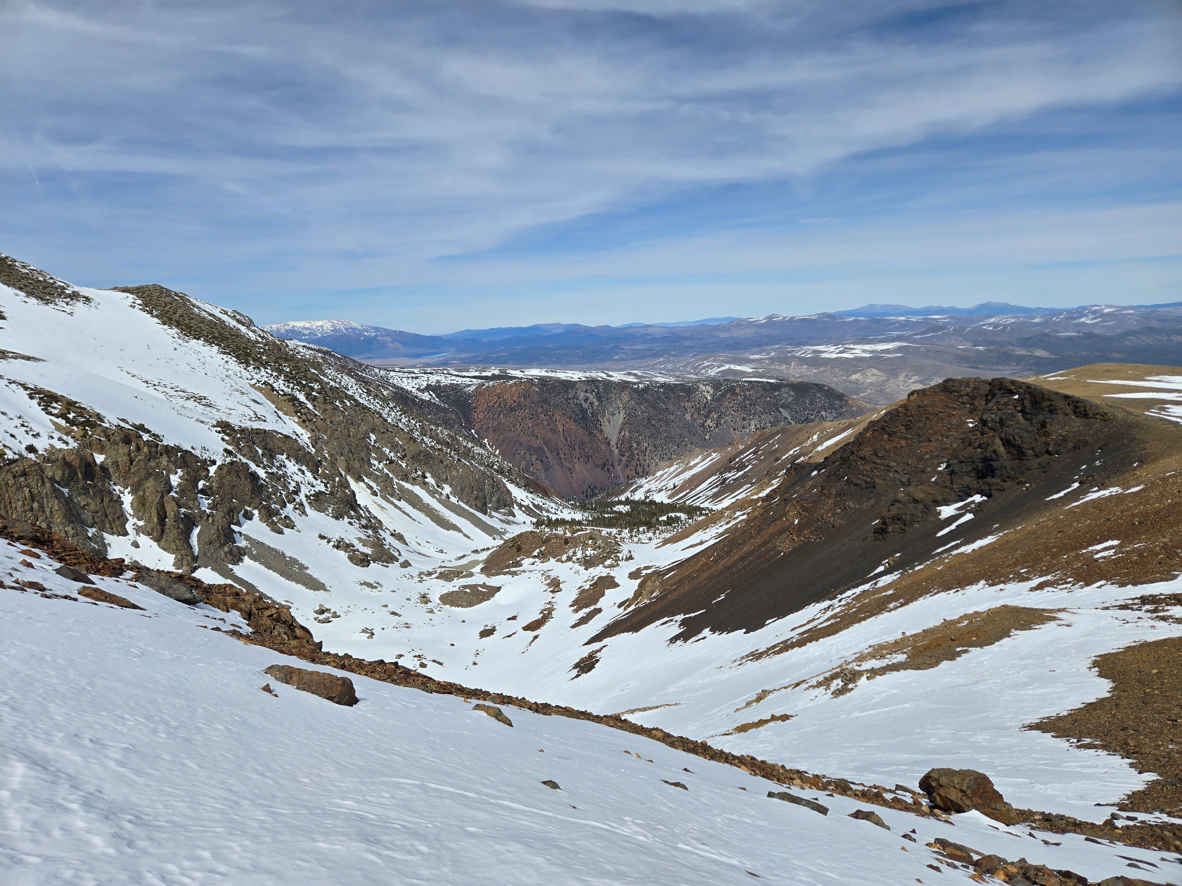
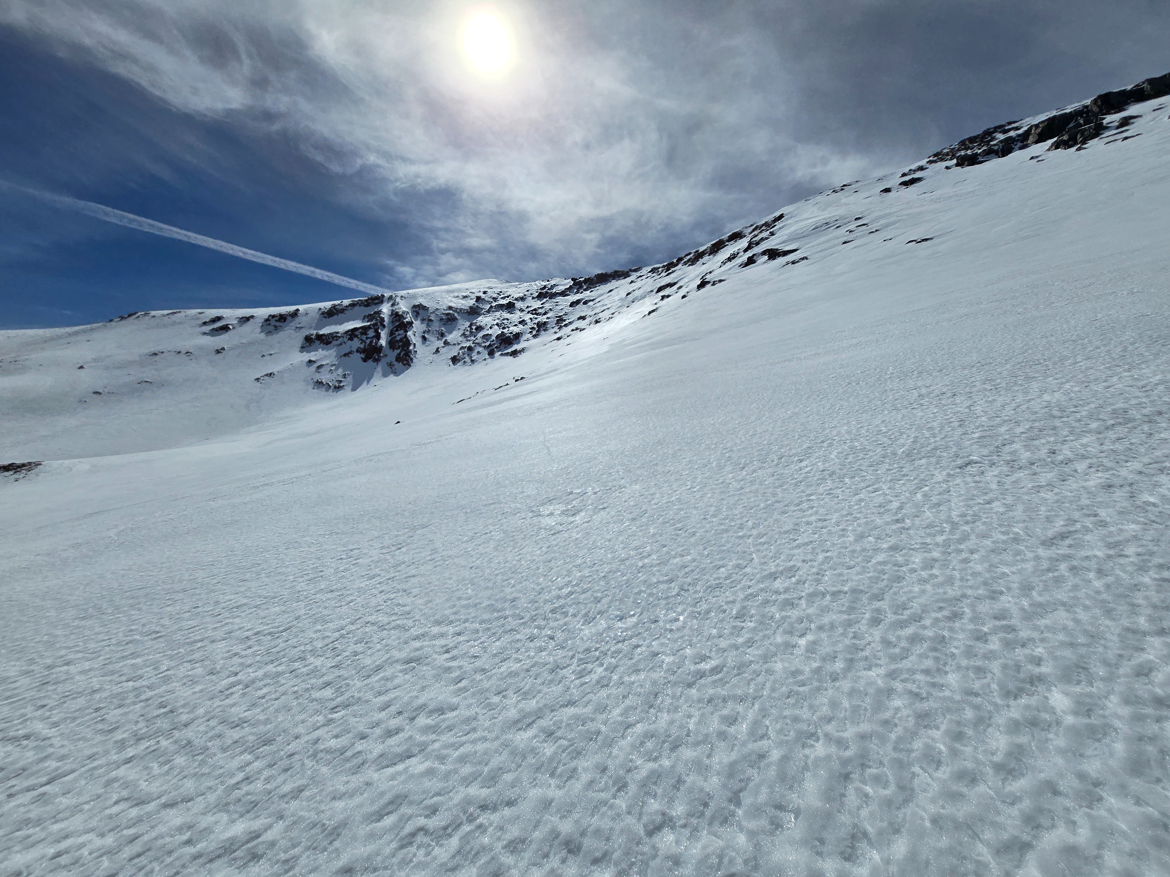
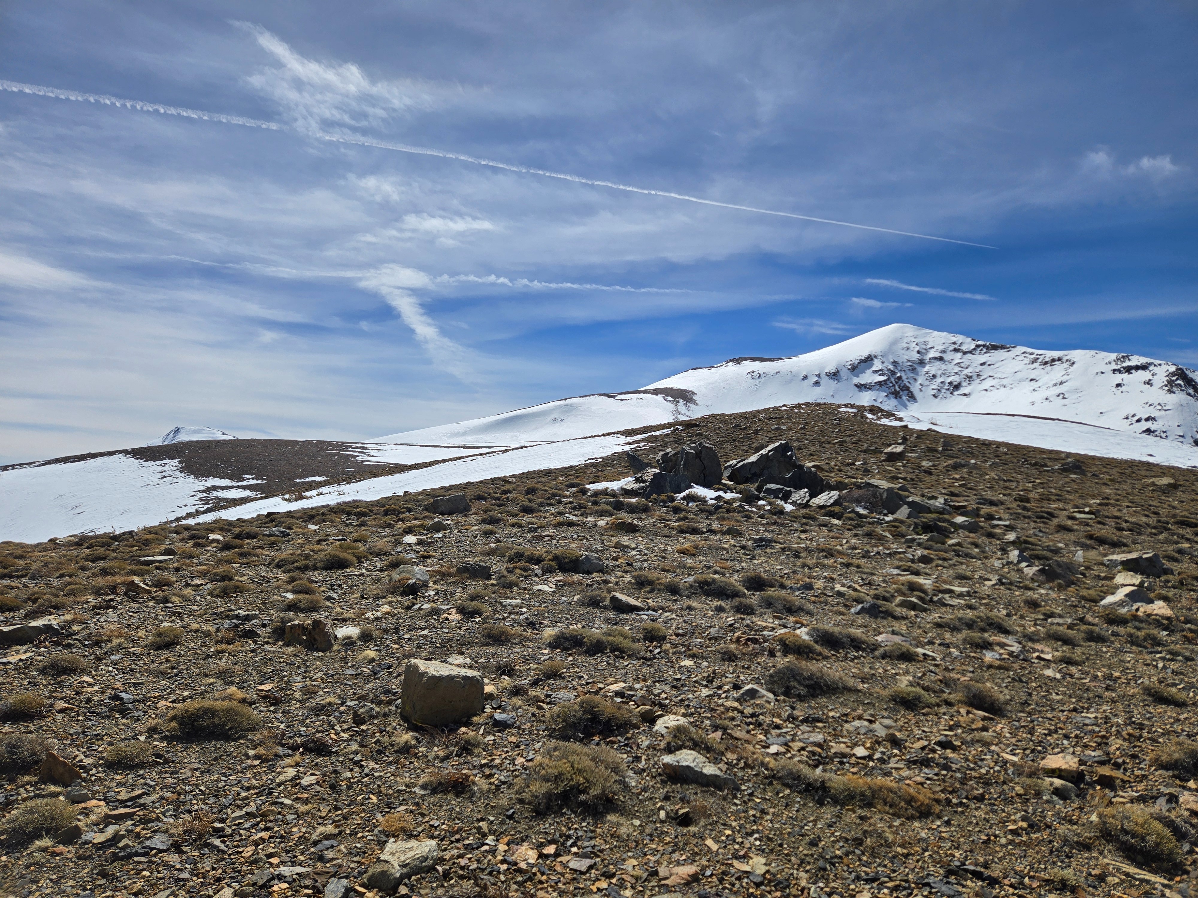
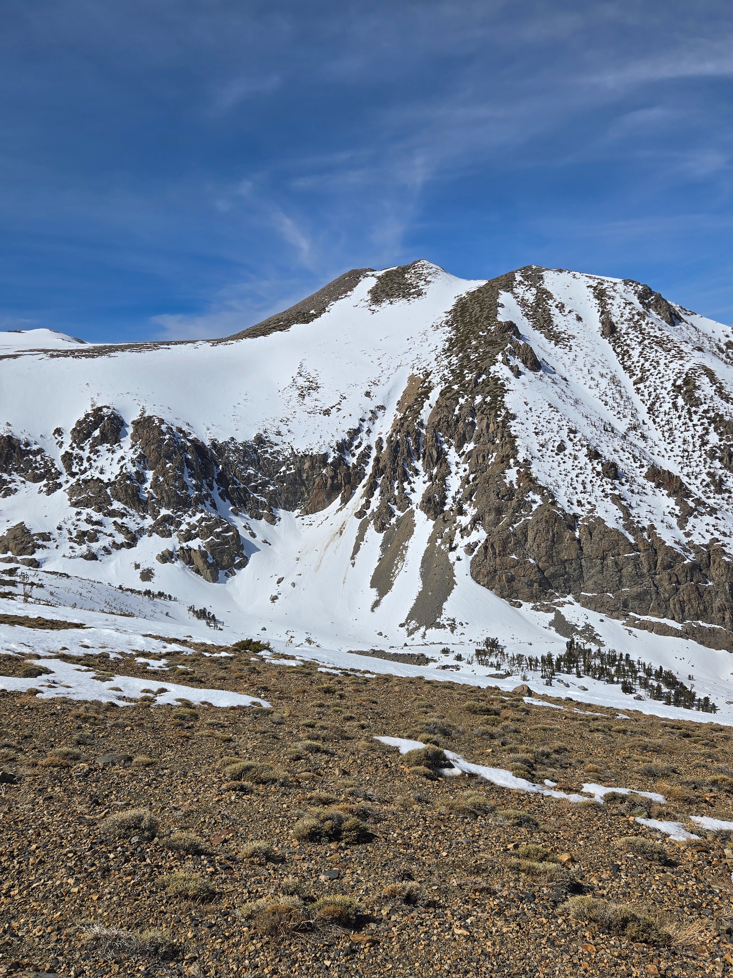
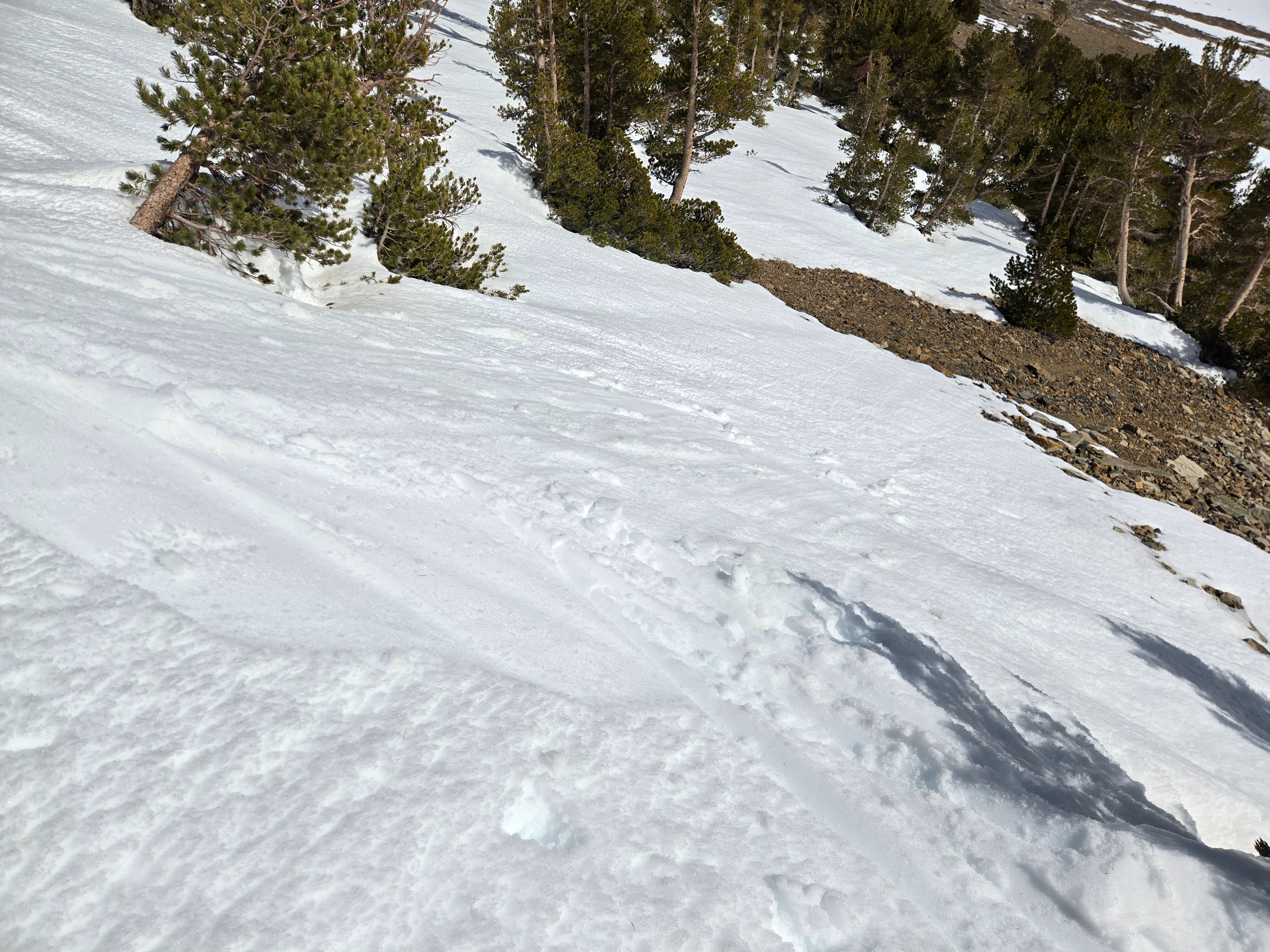
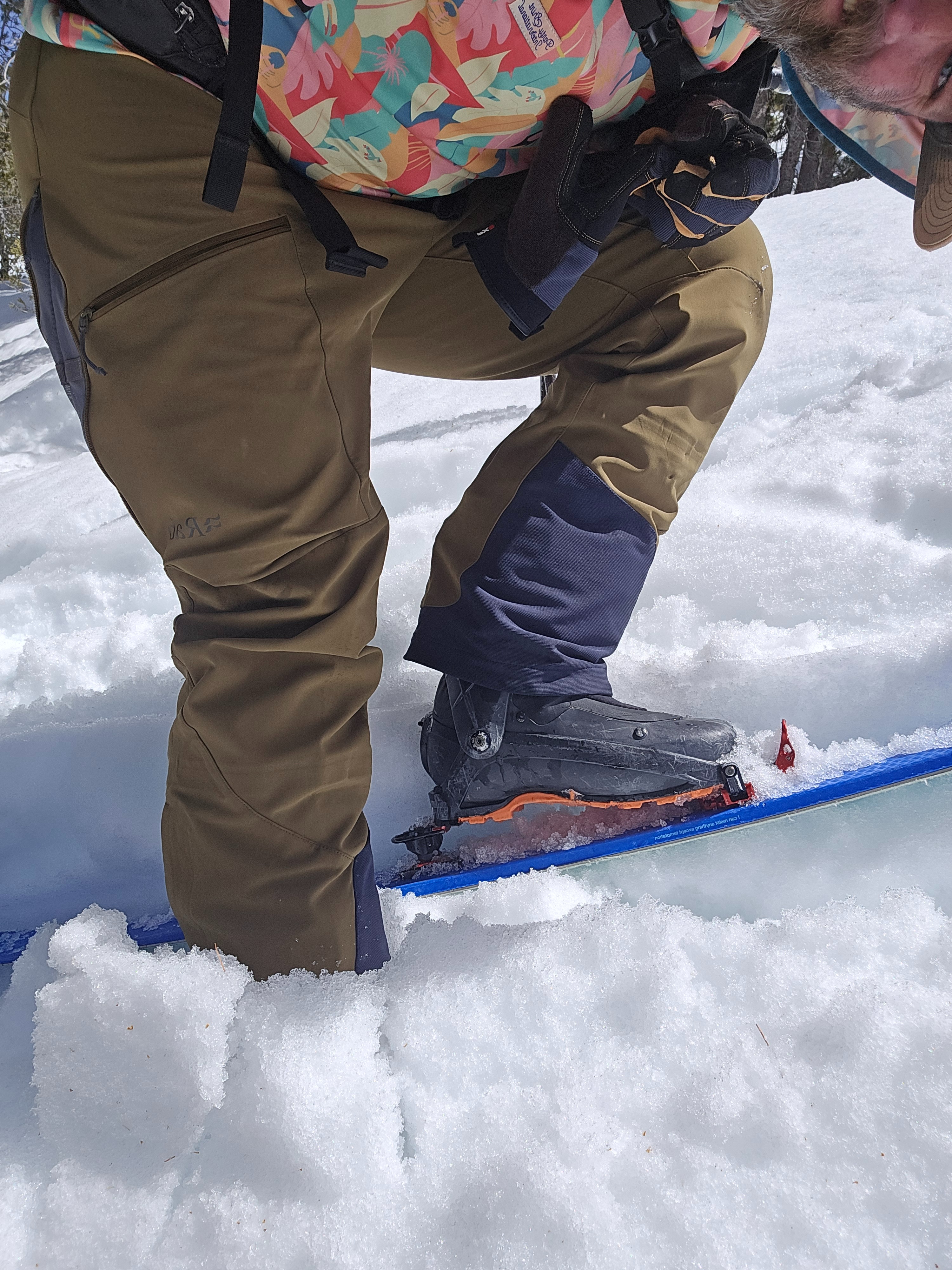
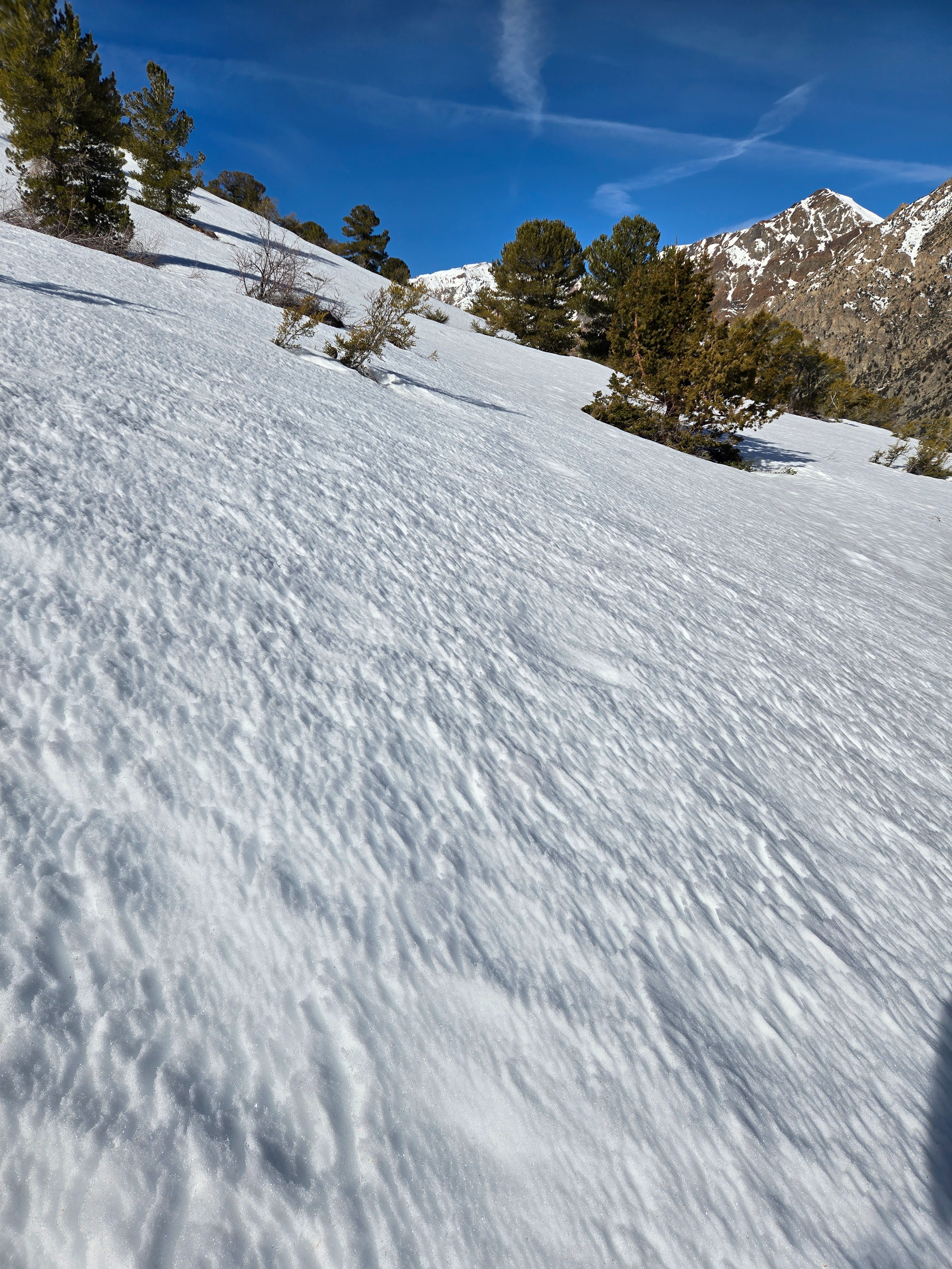
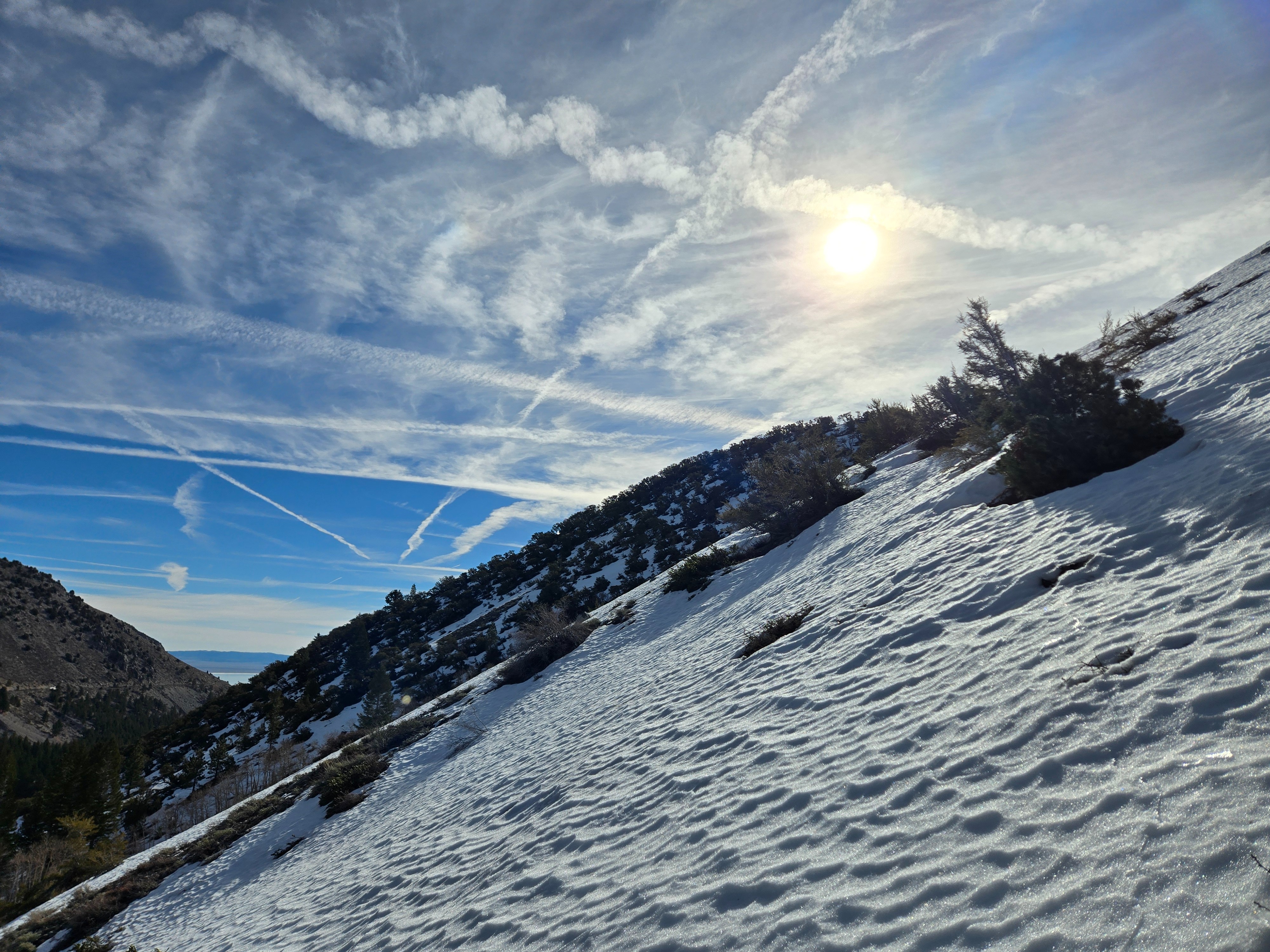
The captions to my photos best summarize the day.
It was hard to find solar test slopes because south aspects have more dirt than snow at this point. The few southeast rolls I ski cut didn't really get much snow to move. Even where my skis sank deeply into wet snow near radiators and where the snowpack was shallow, I couldn't start an avalanche.Weather
- Air Temp
- 40s and 50s
- Cloud Cover
- broken
- Wind Loading
- none
- Rain Elevation
- NA
- Recent Snowfall
- 0
- Snow Avail For Transport
- none
Lovely, hot day. High clouds increased throughout the day. Winds were calm near and below treeline, but light from the southwest at higher elevations.
Snowpack
Almost every aspect - at all elevations - that had coverage had some sort of melt-freeze surface. Surfaces were hard, dry, wind-affected snow on northwest-north-northeast above treeline at the highest elevations.
I dug to look at northerly aspects before the nuclear heat dome threatens to melt the snow on northerly aspects where there are still buried weak layers.
- In both my profiles, I found hard, inconsistent, and irregular crusts in the upper snowpack from the last big warmup. The coming heat will have to melt that ice before water can get deeper into the weak, coarse-grained snow.
- Under the top crust complexes, I found stiff, fine-grained, dry slabs atop softer, dry, coarse-grained rounding facets above 9,000 ft., extending to my top profile above 11,000 ft. These facet layers are rounding and are harder than they were the first time the snowpack warmed two weeks ago.