
Quick report
Today I set out to investigate the affect of warming temperatures on the snowpack, particularly slopes that see more direct sun. I was also curious about recently developed wind slabs and how much snow is still available for transport.
Warming
- The warming has helped to settle the new snow at lower elevations but has not yet affected surface conditions N facing slopes where the snow is still dry and easy to ski.
- North facing slopes at all elevations still had dry surface snow.
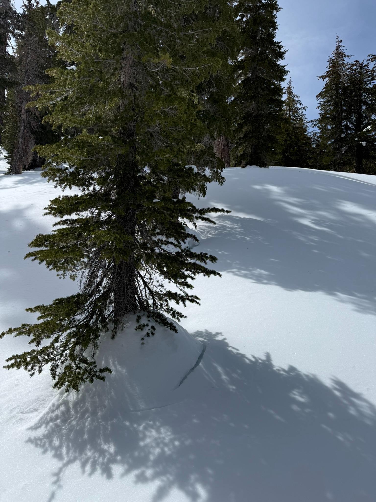
- East facing slopes below and near treeline have begun a melt freeze cycle, although dry snow is not far below the surface.
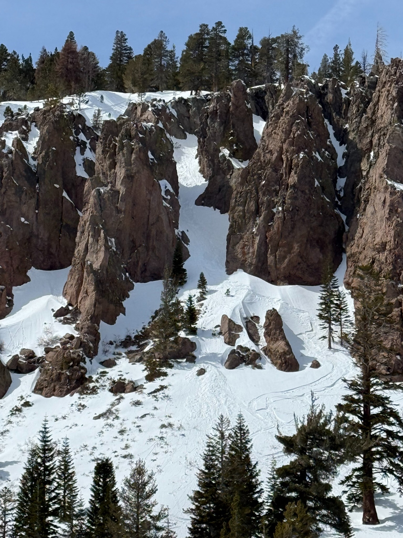
- There were recent tracks in steep E facing terrain below 9000' with steep rock walls to radiate onto the snowpack. It looks as though a skier triggered a small wet loose avalanche out of one of these features, while tracks in neighboring chutes had no more than rollerballs coming off of turns.
- Temperature was 32F at 10500 at 1230. The high clouds and cool breezes seemed to preserve dry snow on solar aspects at this elevation.
Wind
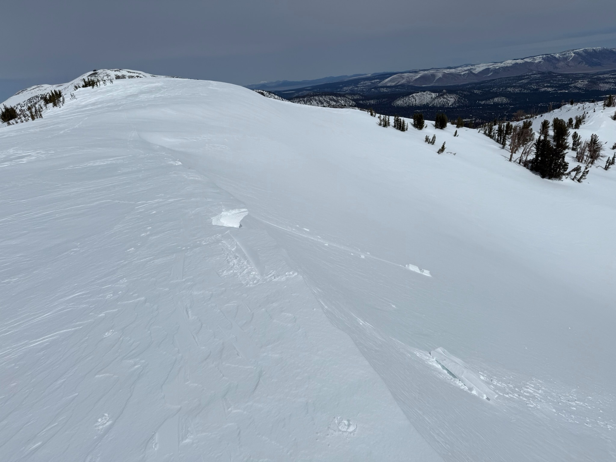
- Recent winds formed small, fresh cornice features which were perched over E and N facing terrain. I stomped on some of these lips above a benign slope and they were difficult to break. The slope below had been pressed by the wind into a firm windboard surface.
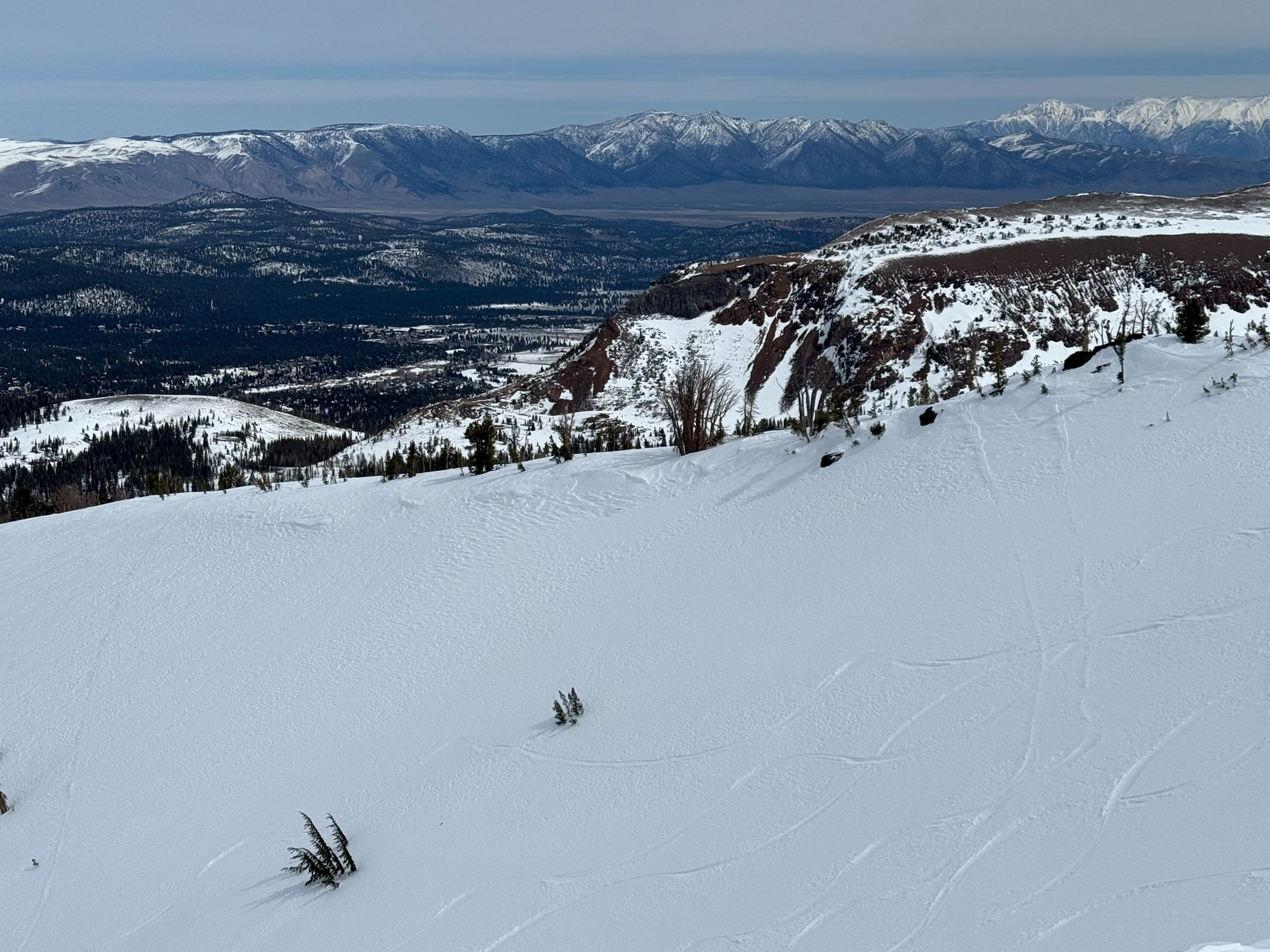
- There were many previous and recent tracks on the most wind loaded portion of a north facing alpine bowl feature. They produced no avalanches. Some of the tracks had been lightly filled back in by recent winds.
- Wind rolls and small test slopes showed no signs of instability as I stomped on as many as possible both near and above treeline.
- I observed no blowing snow today in my travels.
- There are small amounts of snow available for transport above treeline still but I don't expect that to last long with the warming temperatures and a settling snowpack.
Weather
- Air Temp
- Near Freezing
- Cloud Cover
- broken
- Wind Loading
- previous
- Snow Avail For Transport
- small smounts
Increasing high, thin clouds until 1230, then decreasing to mostly clear skies. Light SW winds with the occasional moderate gust. Temperatures near freezing.
Snowpack
East aspects with direct sun exposure below and near treeline have begun a freeze cycle. As you gain elevation the crust/moist or wet snow decreases in thickness. North aspects were holding dry surface snow at all elevations. The most recent storm snow continues to settle.
Avalanche
- Size
- D1
- Aspect
- E
- Trigger
- AS
- Elevation
- 8800 ft
Possible skier trigger. D1 Loose Wet.