
Quick report
- Cracking
- isolated
Yesterday's cold front caused white-out conditions in the Swan Valley with powerful winds and 4 inches of snow in just a couple hours. I approached the mountains with curiousity today.
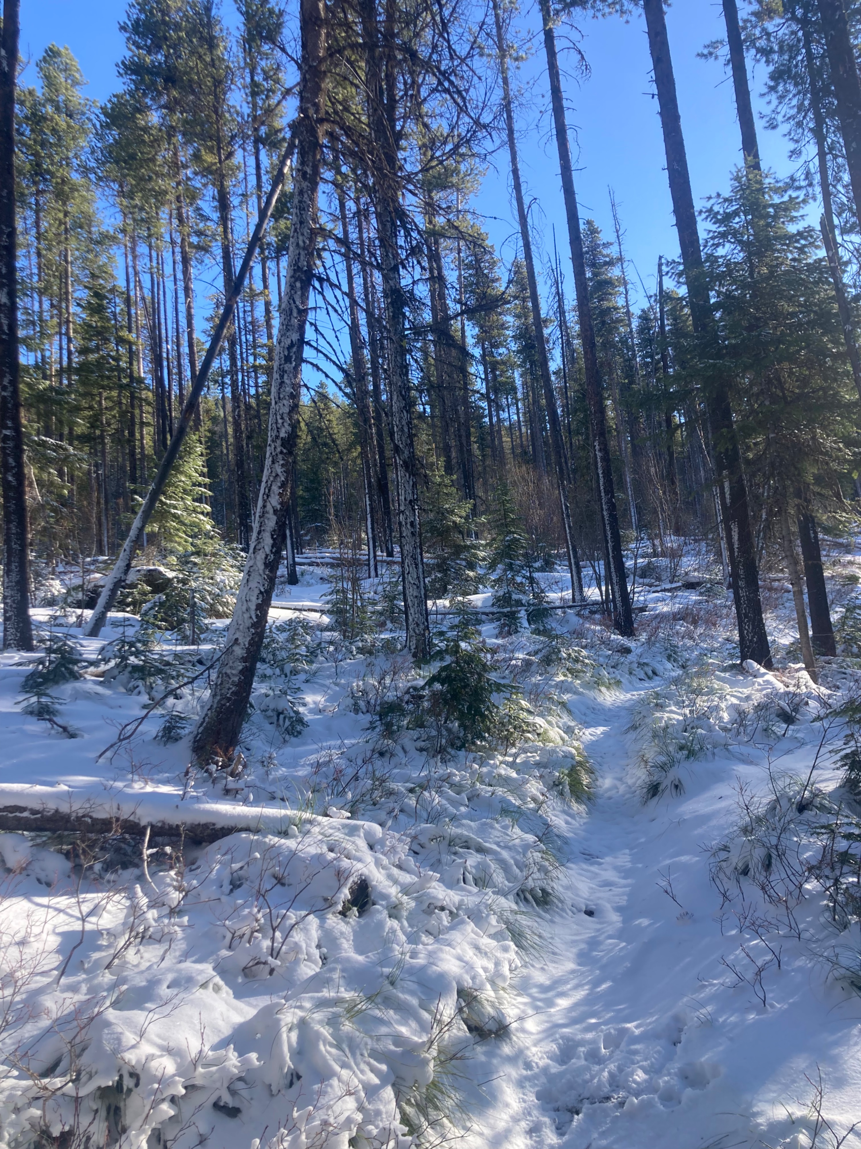
- I found an average of 4 inches of new snow, with isolated drifts thicker than 8 inches.
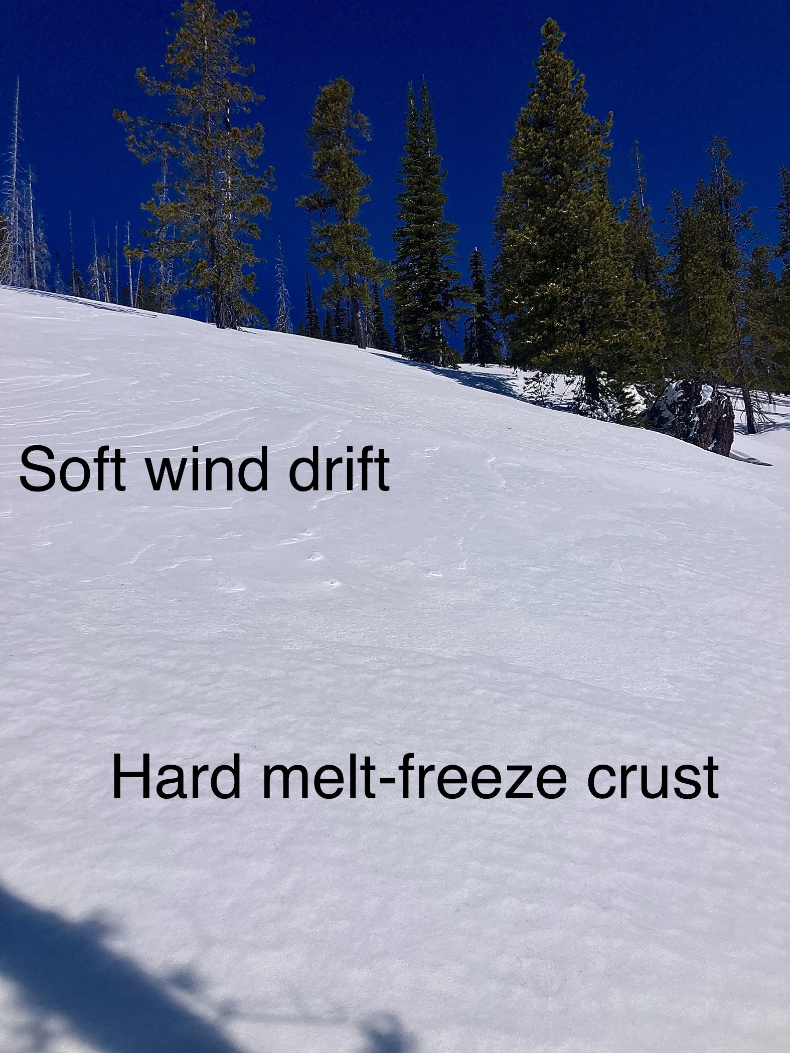
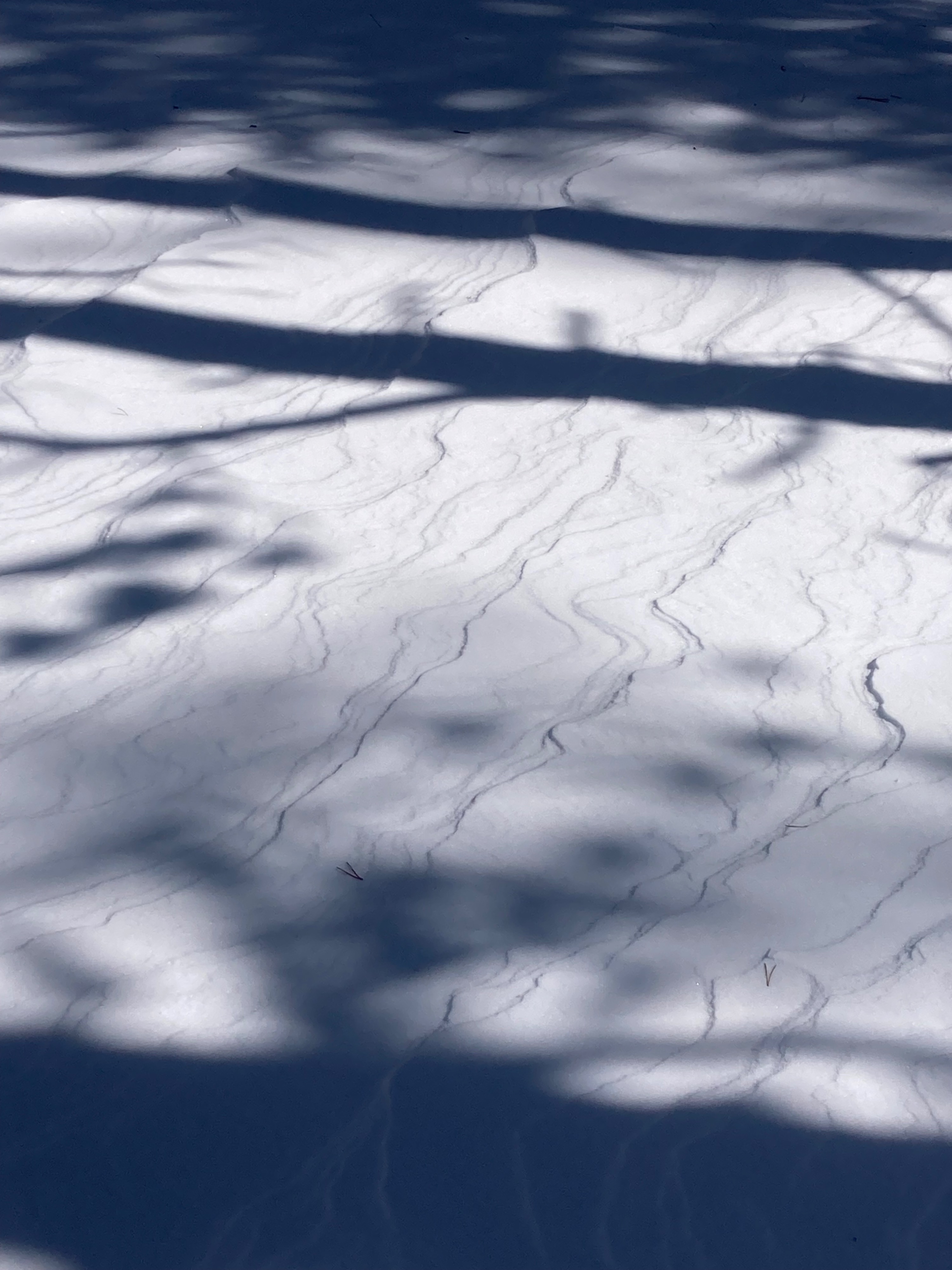
- There were signs of wind effect on all aspects and elevations.
- At mid and upper-elevation easterly winds had scoured east-facing slopes down to the stout melt-freez crust.
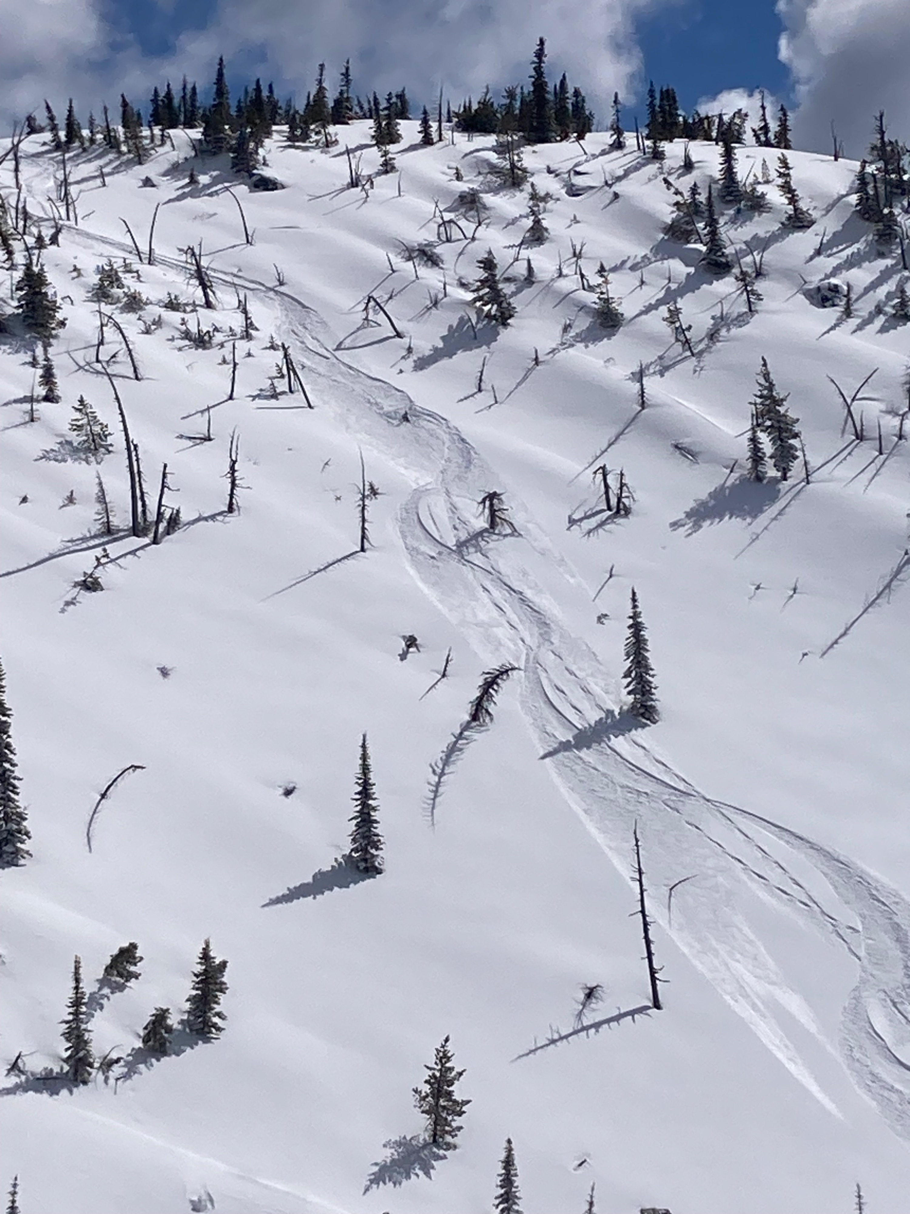
- Westerly slopes had great powder skiing into the afternoon. Slopes facing south and southeast had afternoon corn.
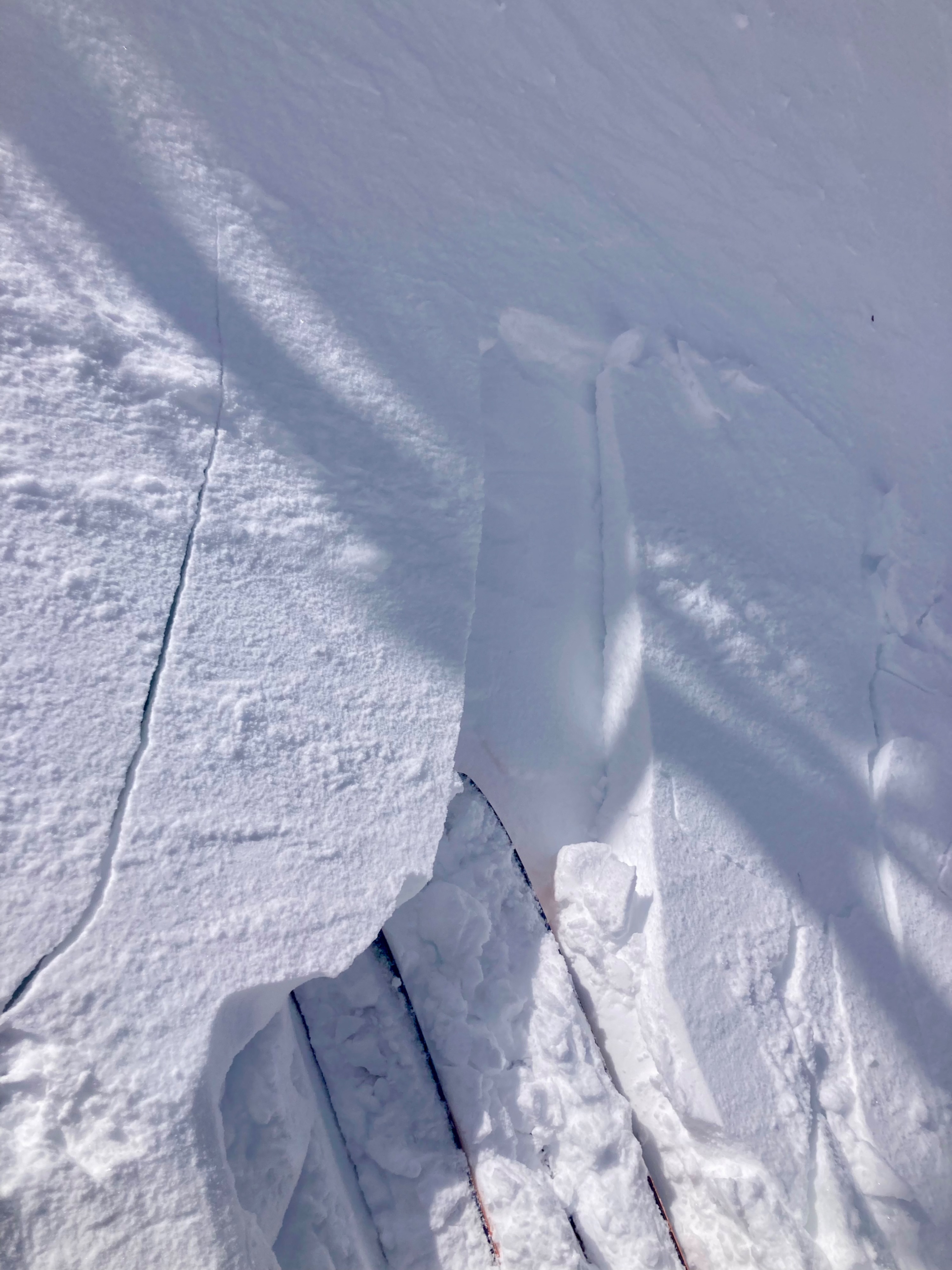
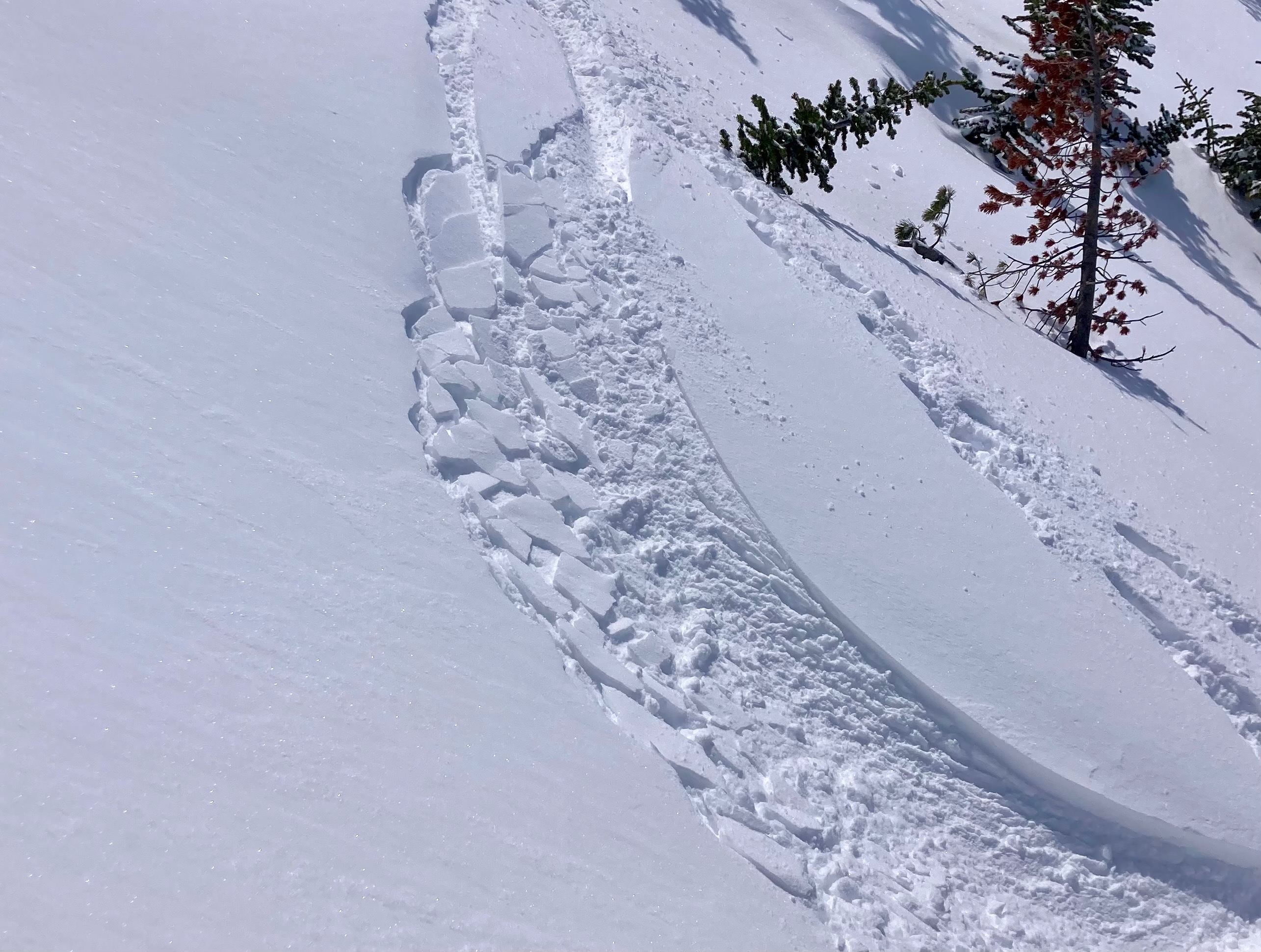
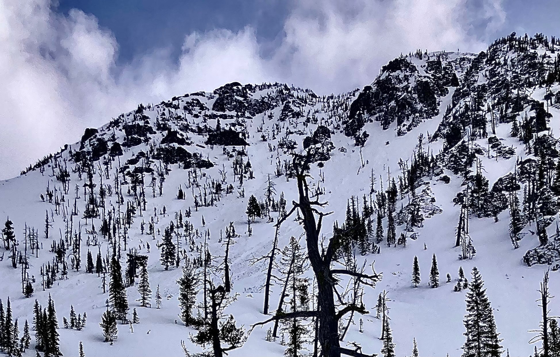
- I found a thin soft slab in the entry to a west-facing couloir at 7200', I elected to ski better quality snow on an adjacent slope.
- Increasing afternoon cloud cover limited the extent of warming on westerlies.
Its spring skiing at its finest. Easy travel, powder, corn and sunshine. Heard some sleds out there too!
Found a thin soft slab in the entry to a west-facing couloir at 7200'.Weather
- Air Temp
- 30
- Cloud Cover
- scattered
- Wind Loading
- previous
- Rain Elevation
- Valley Bottom
- Recent Snowfall
- 10
- Snow Avail For Transport
- small smounts
Morning temperartures 15-20*F all elevations. Valleys were 45*F on drive home. Few clouds to start the day increasing to broken skies in the afternoon with light snow showers at 2:00pm.
Snowpack
10 to 15 cm new snow on top of 15 to 20 cm melt-freeze crust on top of west snow. East-facing slopes did not have new snow due to strong easterly winds.