
Weather
- Cloud Cover
- overcast
- Recent Snowfall
- 30
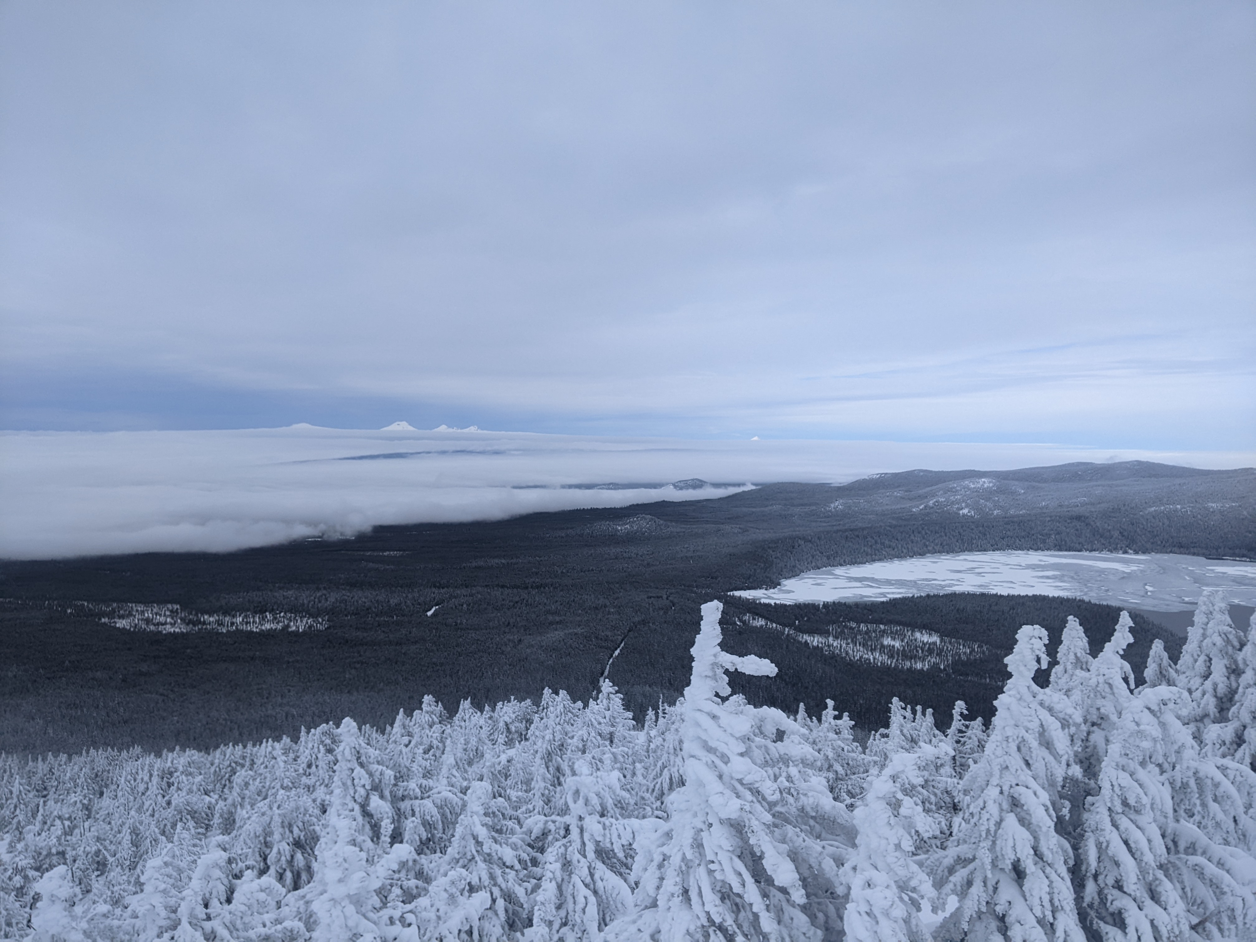
Today was mostly overcast and around midday the peak dissapeared into the cloud for a bit. Below treeline the wind was calm, and I only felt a Light breeze from southwest on the highest parts of the peak. I didn't see any blowing snow and only Light previously blowing snow from the west. By midday an inversion was setting up and I could look out to the Sisters poking up through the cloud. The top of the cloud was around 6000 ft.
Snowpack
At 6,800 ft I measured 150 cm of snow. In most open glades there was 30 cm. of new snow that had fallen since Wednesday morning. The prominent rain crust is buried 45 cm. The surface snow did have some cohesion (see picture), but I wasn't able to get any results that would point to potential avalanches. I did many hand shears (video), and traveled over many test slopes. Compression tests produced Resistant Planer results that we often see with new snow (down 20 cm.) and are not necessarily associated with avalanches. These results don't mean that avalanches aren't possible, but weaknesses and signs of instability weren't jumping out at me. As always there can be a lot of variation in the snowpack as it lays over the terrain.
On my way down the snow was definately starting to become moist at 6900 ft. and below.