
Quick report
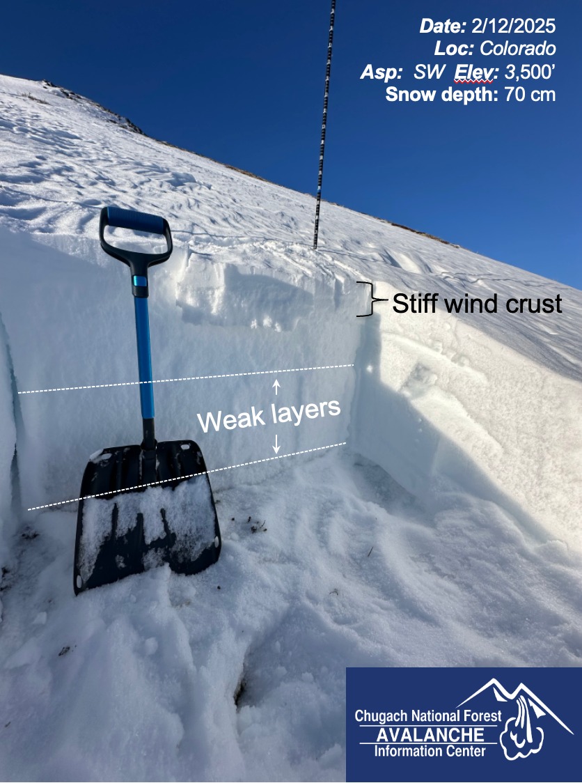
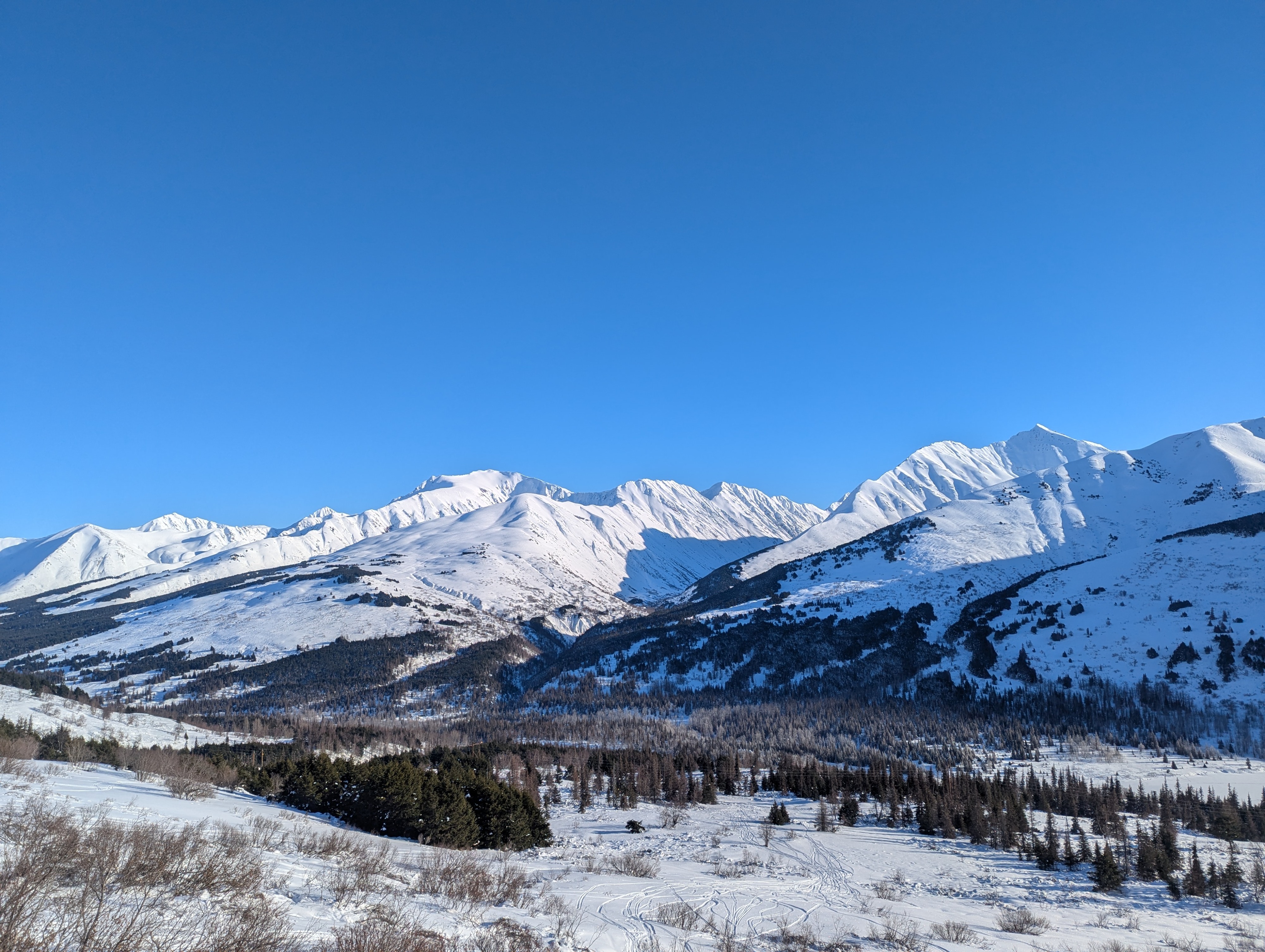
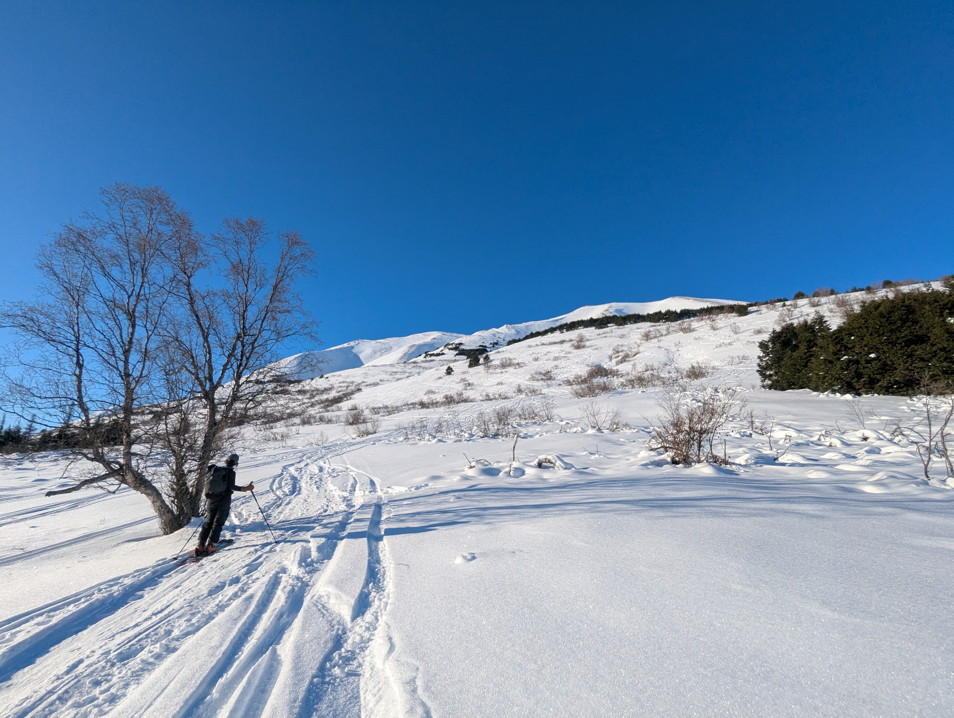
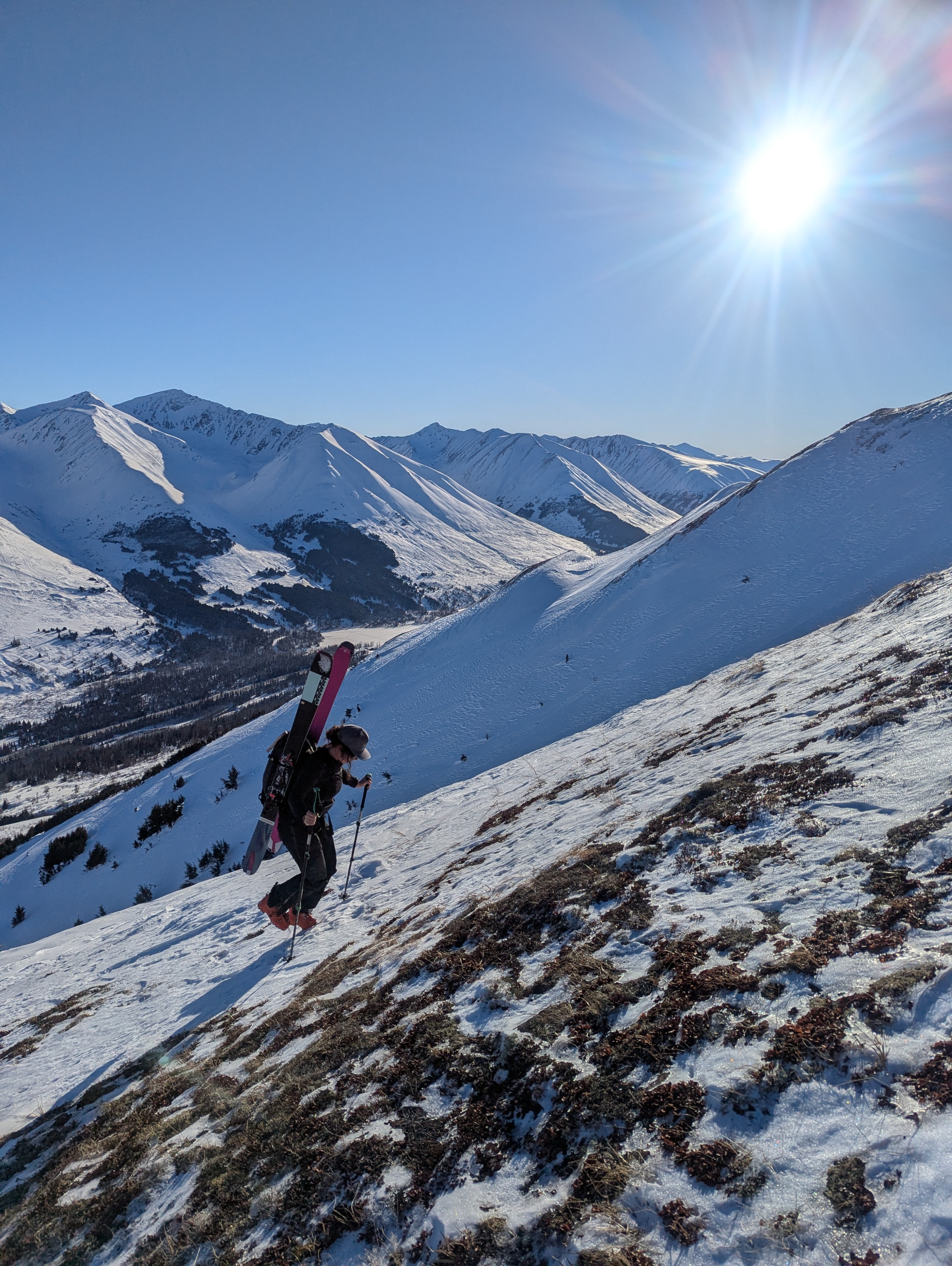
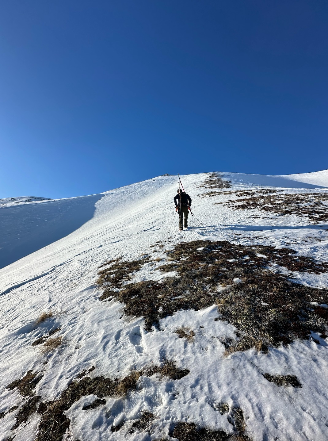
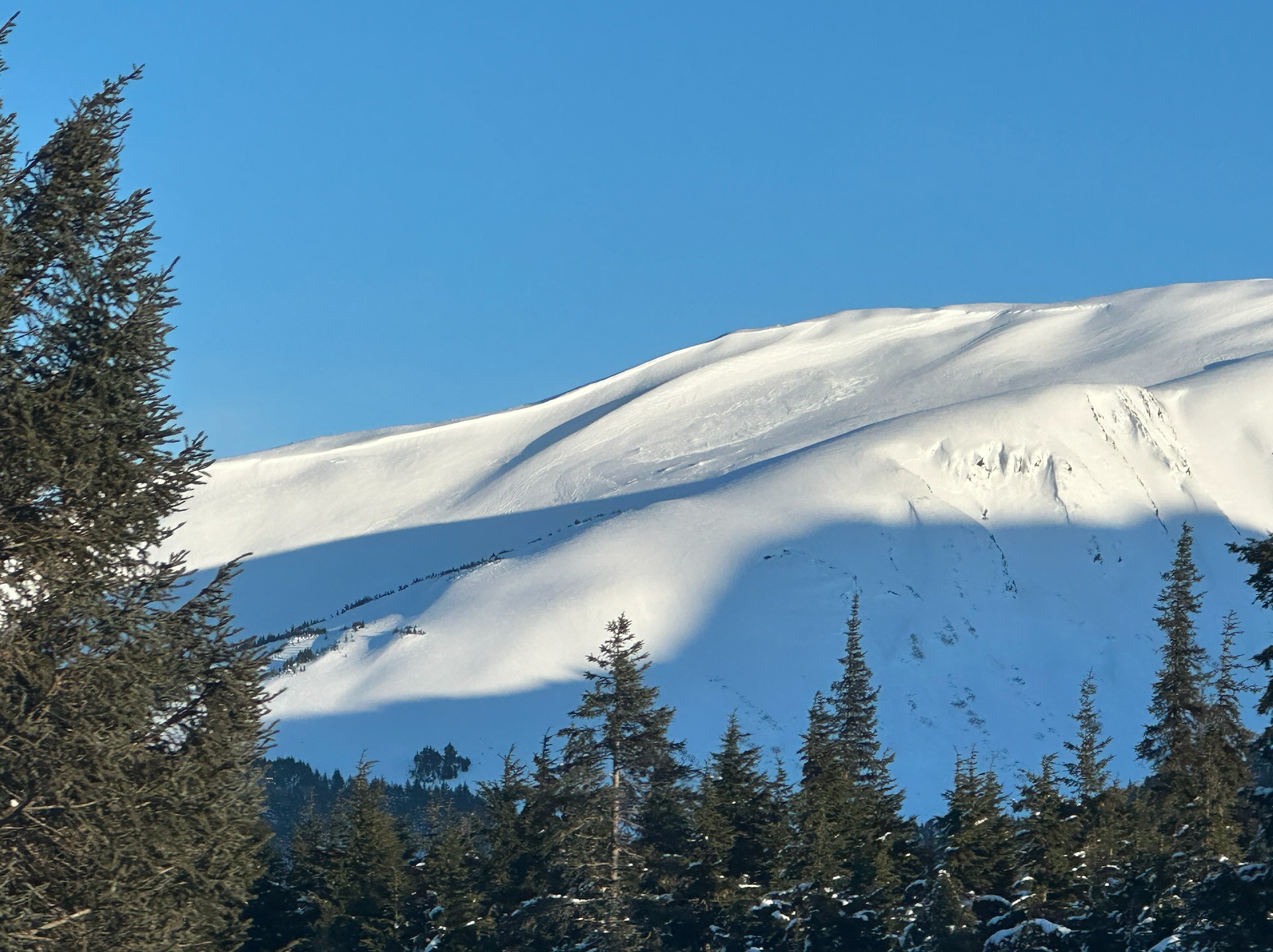
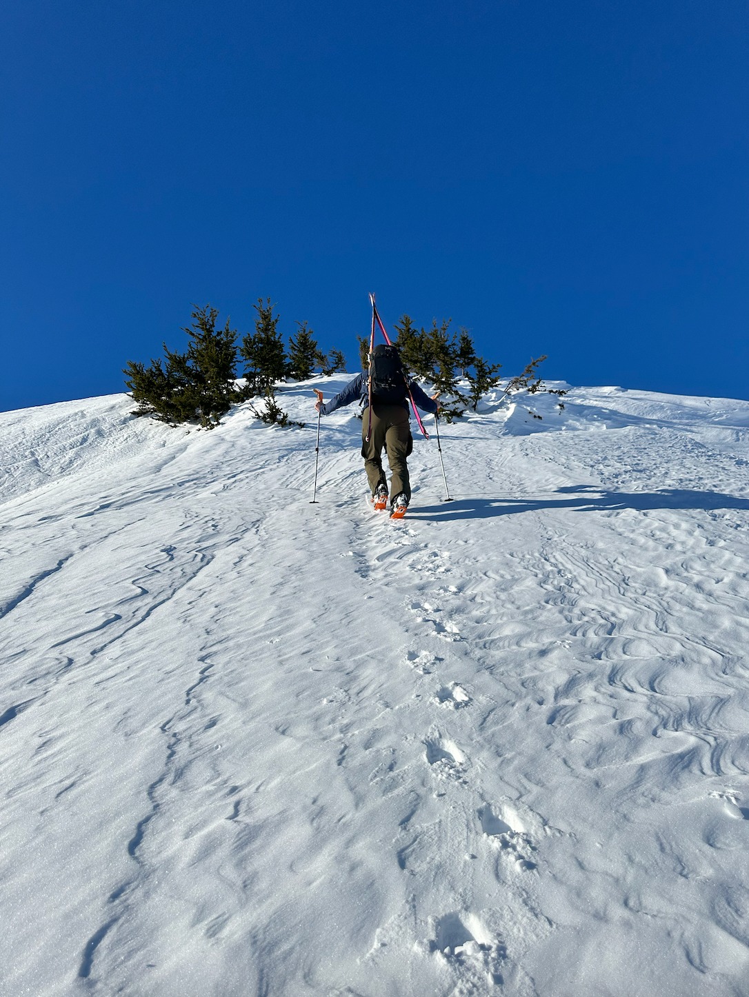
Without a cloud in sight, we toured to the top of the ridgeline on Colorado. We were curious to investigate several known weak layers in this region's snowpack and track their evolution after several weeks of cold and clear weather. We dug two snowpits, one mid-elevation and a second up higher in start zone elevations. Neither of our snowpits produced any concerning test results but we did find two weak layers and a relatively shallow snowpack at our second, higher pit at 3500'. These layers can reactivate when new snow and wind get loaded onto them and will be important to track with the weather forecasted for later this week.
Weather
- Cloud Cover
- clear
- Wind Loading
- none
- Recent Snowfall
- 0
- Snow Avail For Transport
- small smounts
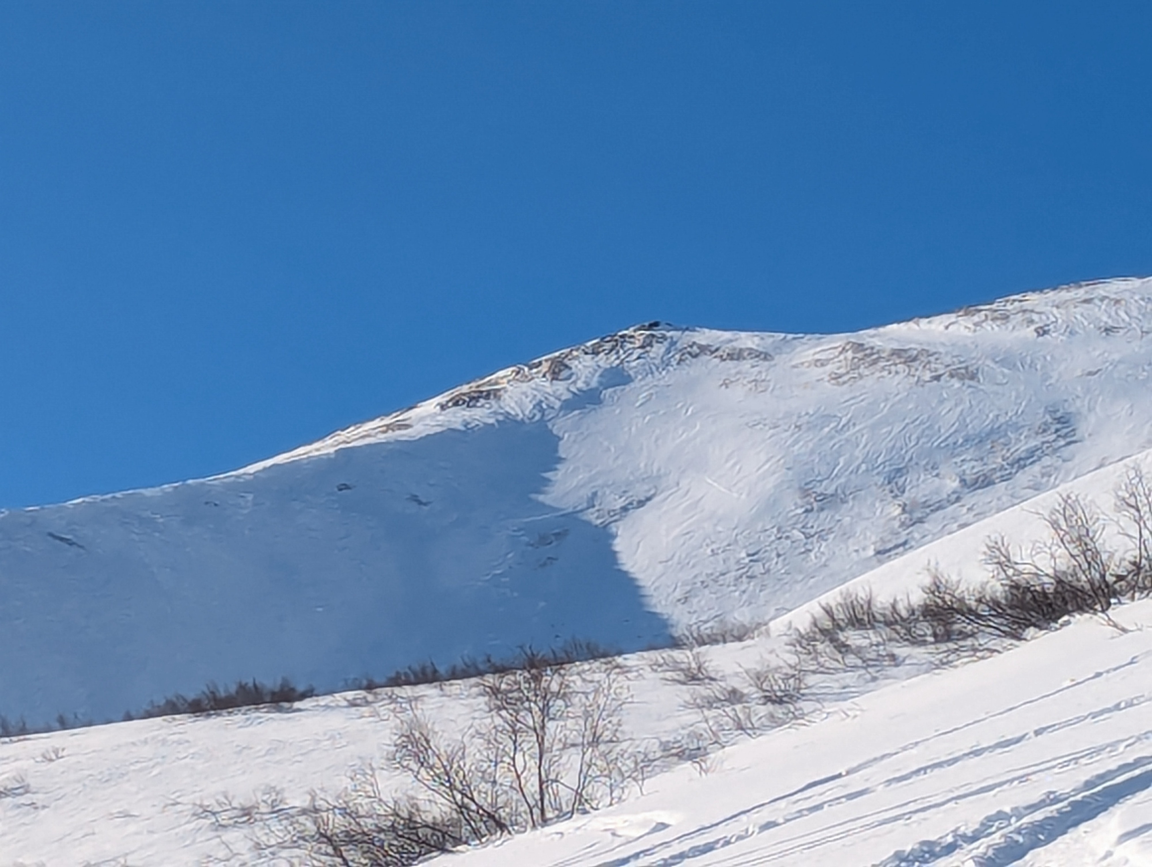
Our truck read 1F at the trailhead this morning, but as we traveled out of the valley we quickly got above the inversion and warmed up in the sun. There was not a cloud in sight and winds were light.
Snowpack
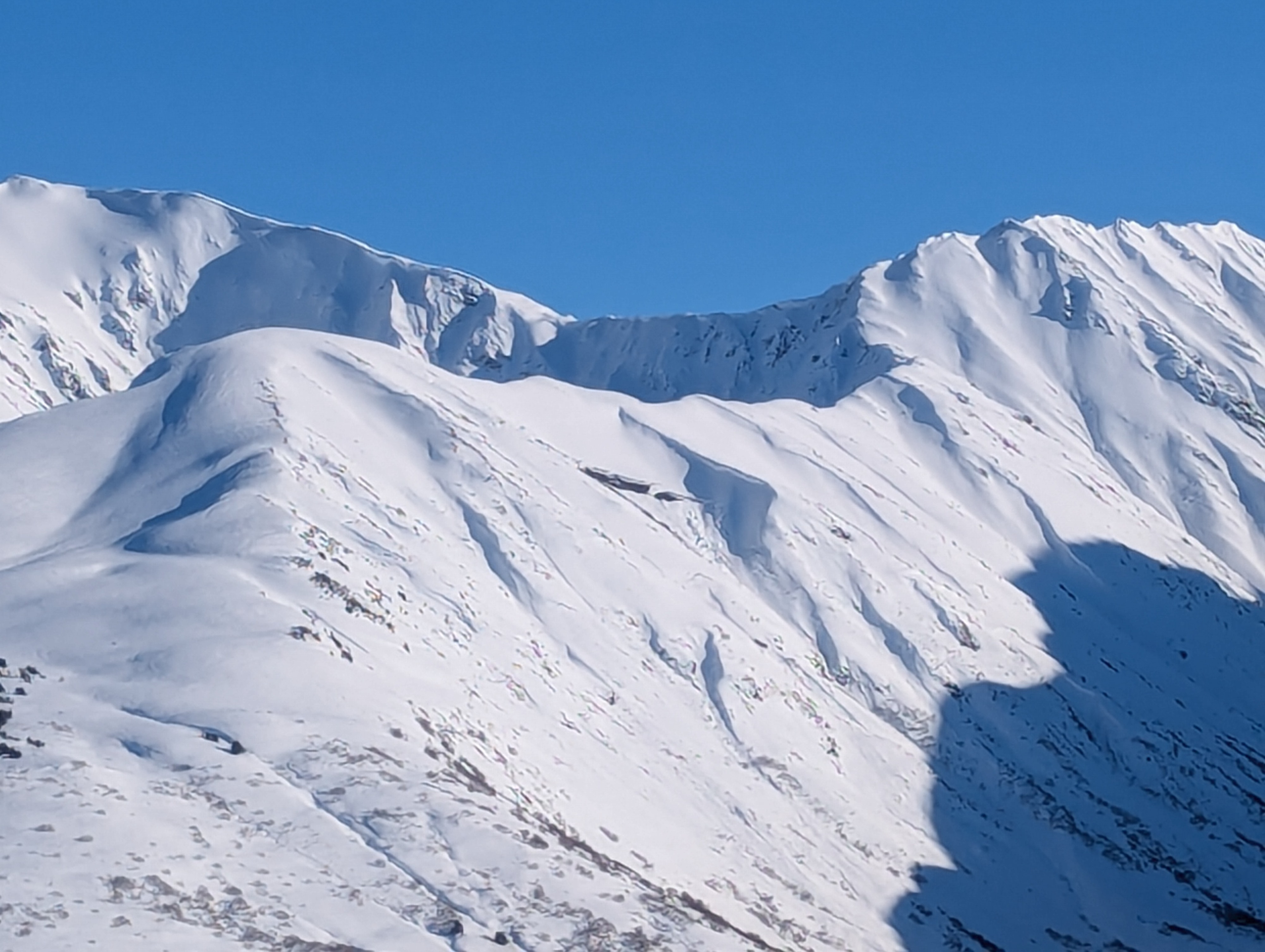
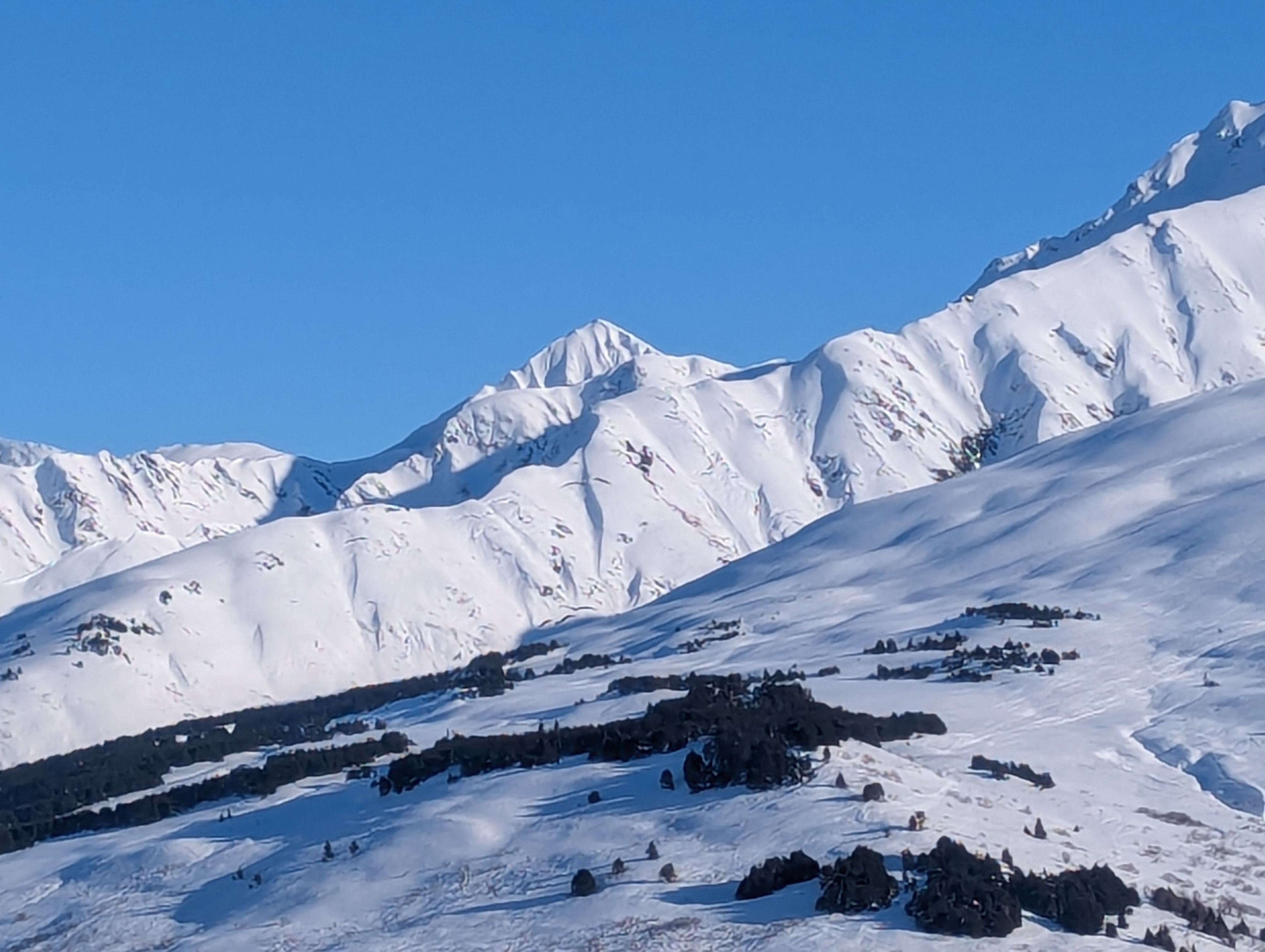
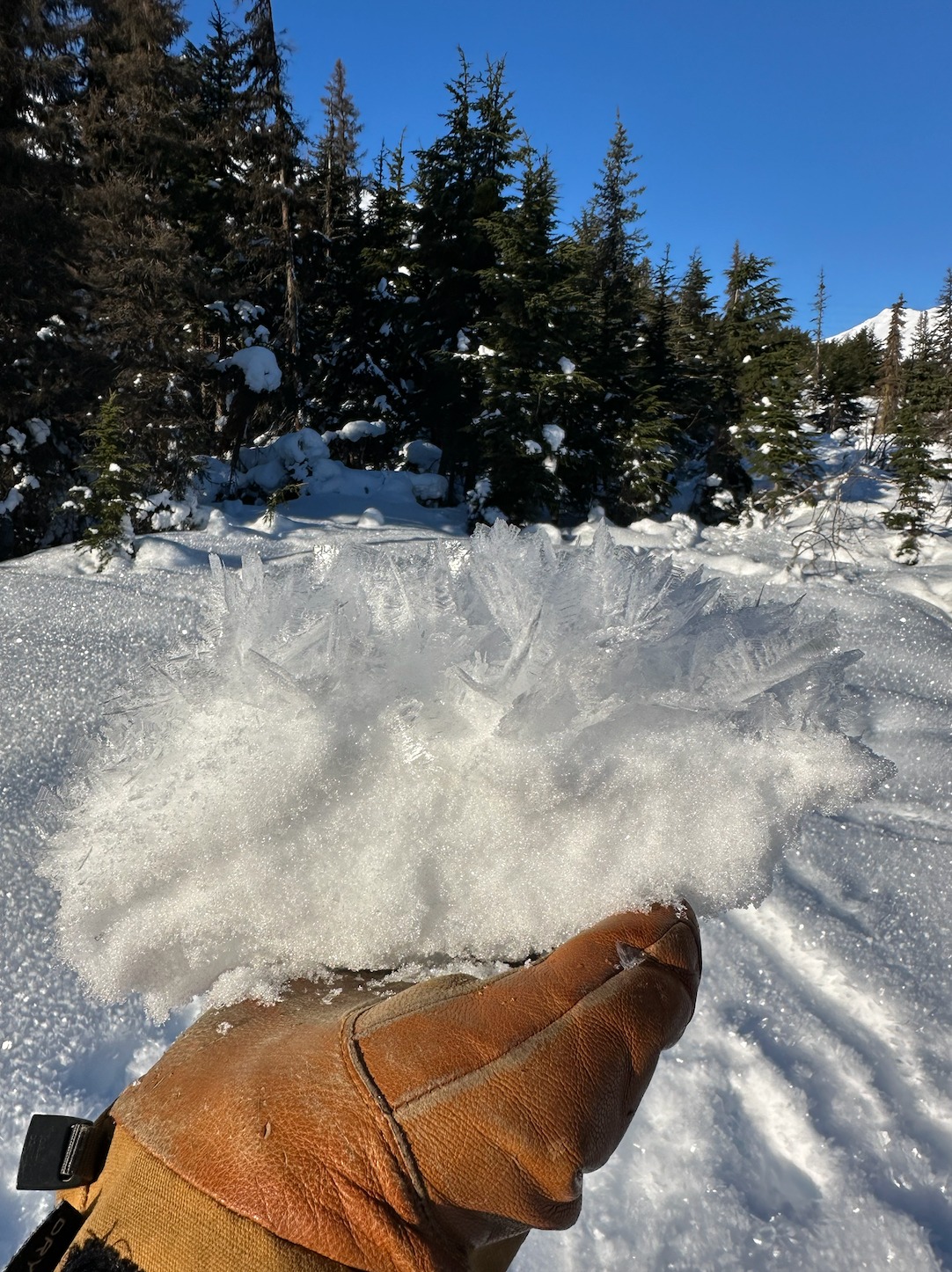
From the trailhead we observed a widespread layer of surface hoar sitting on top of a breakable melt-freeze crust which disappeared around 2000ft-2500ft. Old avalanches and debris were observed in each of the gullies. We dug two snowpits at 2000' and 3500'. Neither snowpit produced any concerning test results. At our higher pit, we found two weak layers of faceted snow in the middle and bottom of the pack, which was only 70cm deep at this location.