
Quick report
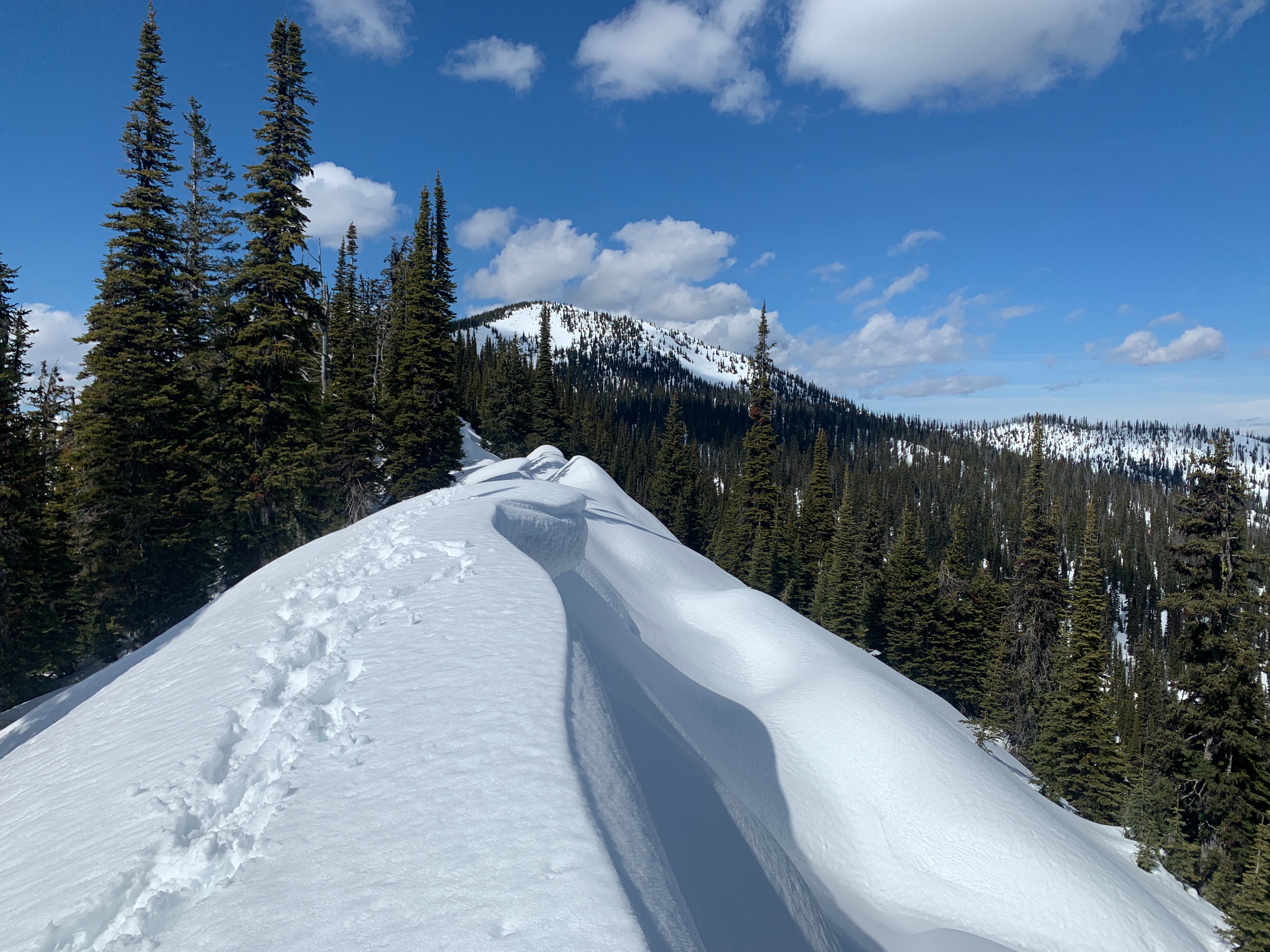
Guy and I traveled to Moose Peak, in the central Whitefish Range, to get a sense of recent avalanche activity and do a welfare check on the 2/3 facets and ice/ crust. We were surprised by several things:
- The lack of natural avalanche activity. Less than half dozen slides visible in our extensive riding and driving, or from our high point, which had a great view of the area.
- The lack of meltwater at the surface of the snowpack. Very few rollerballs, and in E-NE facing terrain above Moose Lake (mid-upper elevation), only the top 3-5 cm were wet, with no signs of percolation tubes below.
The 2/3 facets and ice are not faring well. At least not in our profile. No visible slab avalanches - old or recent. Few sudden results in small column tests, no propagation in large column tests. The facets seem to be sintering and consolidating into the slab above. Not a recipe for long-term persistence, facets. Buck up and get with the program. Your buddies in the Flathead Range will miss you.
One factor that could change this assessment is the building clouds today. If cloud cover is extensive enough tonight before the snow surface cools, greenhousing could occur, and the surface snow might wet very rapidly, even on high, shaded slopes.
The cold, clear nights may have created a new persistent weak layer on high, cold slopes.
Remarkably few rollerballs. Even fewer avalanches. We were able to trigger a few rollerballs on a steep, NE facing slope where the snow was in the sun. Once these hit the shade, they broke apart and disappeared. A few natural rollerballs on the north facing slopes off Forks Lookout and the summit of Moose Peak.Weather
- Cloud Cover
- scattered
- Snow Avail For Transport
- none
Clear skies in the AM gave way to few than scattered clouds by late afternoon. Calm to light winds. Warm.
Snowpack
Solid refreeze overnight to at least 5700 ft.
Test profile at 6800 ft, NE aspect. HS 240 cm
- Top 5 cm wet.
- 10-20 cm dry to moist snow.
- 2/ 3 ice down 90 cm. Degrading. P hard at most. < 1cm layer of small rounding facets above this. Maybe a few mm in thickness.
- ~20 cm P- melt-freeze crust below that.
Numerous tests, with minimal results.
- STH on graupel down 45 cm.
- EXTX x2, DTN x2, STH, CTN x2 CTH 24 SP on FC immediately on top of crust.
We found some large, cupped facets on the snow surface in shady patches on E-NE facing terrain. These facets were moist and seem unlikely to survive as a persistent weak layer where they refreeze. Probably a different story on cooler, shadier, northerly slopes. They may form a distinct weak layer there once buried.
Most south facing slopes above Big Creek were snow free nearly to ridge lines.
Avalanche
- Size
- D2 R2
- Type
- WL
- Count
- 2
- Aspect
- W
- Trigger
- N
- Elevation
- 6500 ft
No visible wet loose or slab avalanches on NE side of Whitefish crest between Werner Peak and upper Hallowat Creek, on N side of Forks Lookout, SW facing slopes above Kletomus Creek and Moose Lake, and on SE face of Moose Peak.