
Quick report
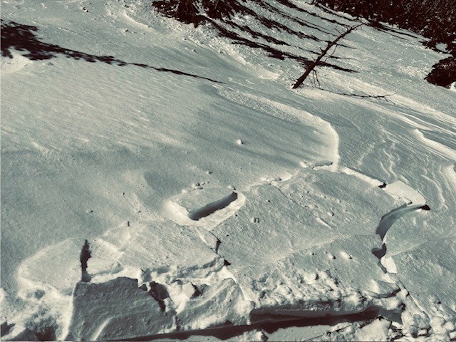
- Cracking
- isolated
Sunshine, daydream, walking in the tall trees, going where the wind goes...
- Traveled to the Northern Whitefish Range early this morning to nab an early corn harvest.
- We found firm snow conditions on our ascent up to 6600' on aspects that are getting direct solar radiation this time of year.
- Light to moderate winds have transported recent snow onto atypical aspects (SW-SE) along ridgelines and specific terrain features.
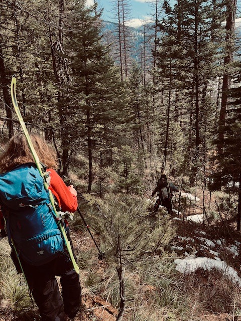
- Decent coverage at mid-elevations made travel moderately pleasant while navigating through alder and dogwood.
Weather
- Air Temp
- 24-40
- Cloud Cover
- scattered
- Wind Loading
- light
- Rain Elevation
- n/a
- Recent Snowfall
- 0
- Snow Avail For Transport
- small smounts
Partly cloudy skies in early morning transitioned to mostly sunny around noon. Cloud deck around 7000' along the continential divide in GNP. Winds light out of N-NE with moderate gusts along ridgelines.
Snowpack
- Snow below 6600' has gone through a freeze/thaw cycle on aspects that are getting direct solar input.
- Traveled up firm snowpack in the early AM, with softening conditions by early afternoon.
- Recently formed wind slabs ranged from a few cm to up to 50 cm along ridgelines.
- Small amount of wind loading across gullies, along ridgelines, and below convex terrain features.
Avalanche
- Size
- D1.5 R2
- Type
- WL
- Aspect
- SW
- Trigger
- N
- Elevation
- 6500 ft
wet loose avalanches from 20240330 on southerly facing aspects entraining recent snow from earlier in the week.