

Quick report
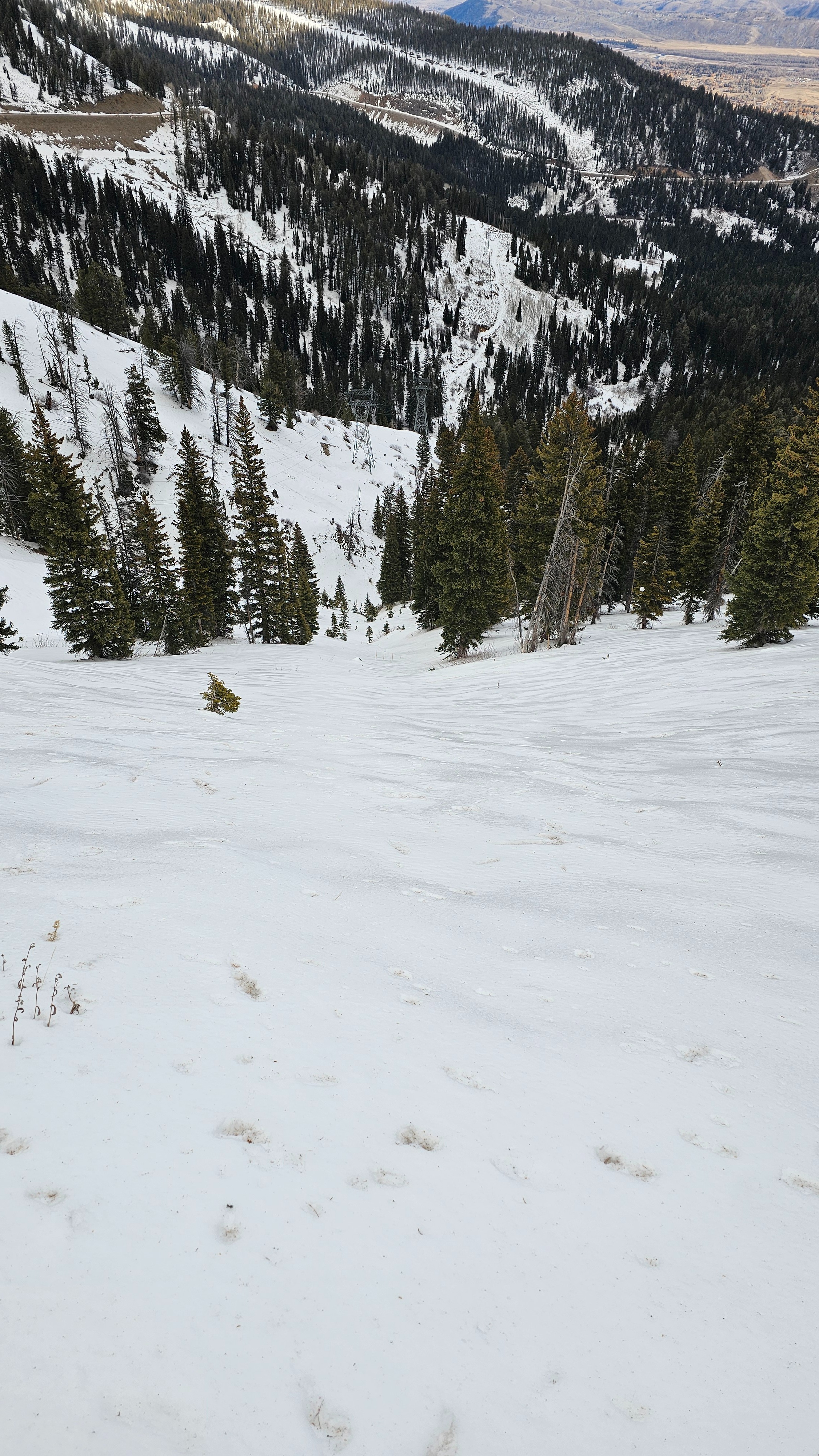
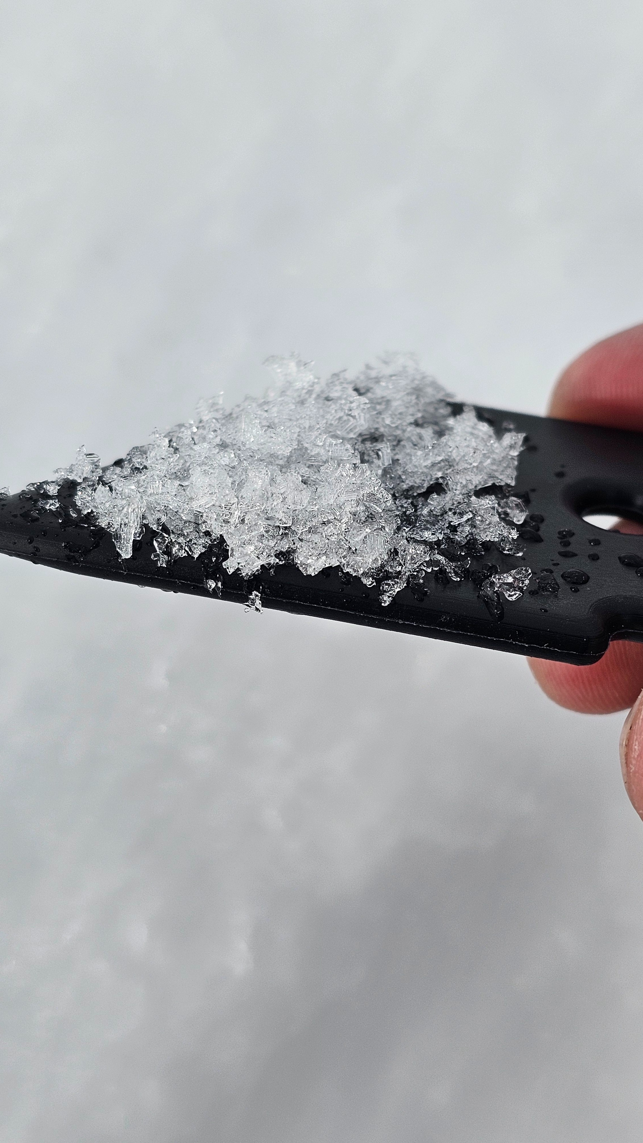
Todays objective was to see what snow surfaces look like before weather arrives tomorrow, specifically where the rain crust (formed Dec. 9th-10th) has remained intact as an ice lens. I found that at upper elevations northwest, north, northeast and east still had this crust fully intact. I also noted some facet development below the crust, especially in thin, cold areas. On westerlies the crust has been broken down a bit by wind and sun. On southerly aspects there is a crust, but it resembles a normal solar crust and is much more stout than the rain crust..
At mid elevations the rain crust was present on NW, N, NE and E. In some locations whether because of ambient air temps, greenhousing, or a glance from the sun, this crust has been somewhat broken down, especially near trees that radiate solar heat. But moderately open, and open areas still have it. Other aspects have taken on a lot of heat and the crust is your standard melt-freeze crust. Low elevations are not as concerning in the area of the Tetons I traveled.
I dug a pit on an east facing slope at 8,300' to look at the snow structure. First, the total snow was a little over a foot. I found a similar depth on a NW aspect at a similar elevation. Overall the total snow depth has taken a bit of a beating from above freezing temperatures and rain over the last weeks. In the pit I found generally more cohesive snow resting atop less cohesive snow. The bottom of the snowpack consisted of rounding facets. Although the hand harness did not look amazing in terms of structure, I did not get any propagation in multiple extended column tests suggesting this area is not of concern right now regarding our persistent slab problem. While this is just a snapshot into one pit, it reflects what we have been seeing in the field and talking about in the forecast.
In quick observations I noted that there is still faceted, cold snow in the midpack at upper elevations.
As the storm comes in the rain crust may be an important player in avalanche hazard. If we get enough snow the persistent weak layer that formed in November could become more active again as well.
Weather
- Cloud Cover
- broken
- Wind Loading
- none
- Snow Avail For Transport
- none
Mostly cloudy with the occasional pocket of sunshine. Temps felt around freezing at the trailhead. Some sun, and maybe some greenhousing softened snow surfaced below 8,500'. Everything else stayed very firm. Winds were moderate at upper elevations from the west and increased through out the day.