
Quick report
Dug two pits at lower elevations and one pit at middle elevation.
6500 ENE, HS 120 cm: ECTP17 down 50cm on crust facet combo (Maybe 2/4 crust). Failed in facets right above the crust. Moisture in most of the snowpack including rounding facets at the base.
6600 SW, HS 100 cm: ECTP15 down 50 cm in fist minus, saturated rounding facets. One of the more violent failures I've seen lately. This failure occurred 15 cm below a crust/facet/crust sandwich down 30 cm. (Maybe 2/6 ish)
8300 NE, HS 305 cm: ECTX. Right side up slab Fist down to One finger +. Dust layer crust found 125 cm down (most likely same dust seen in some observations from the Wyoming/ Salt River Ranges. Rounding facets above and below this decomposing crust. No test results at this layer. Did not do a PST. There is a stout slab 125 cm slab protecting this weak layer at this location.
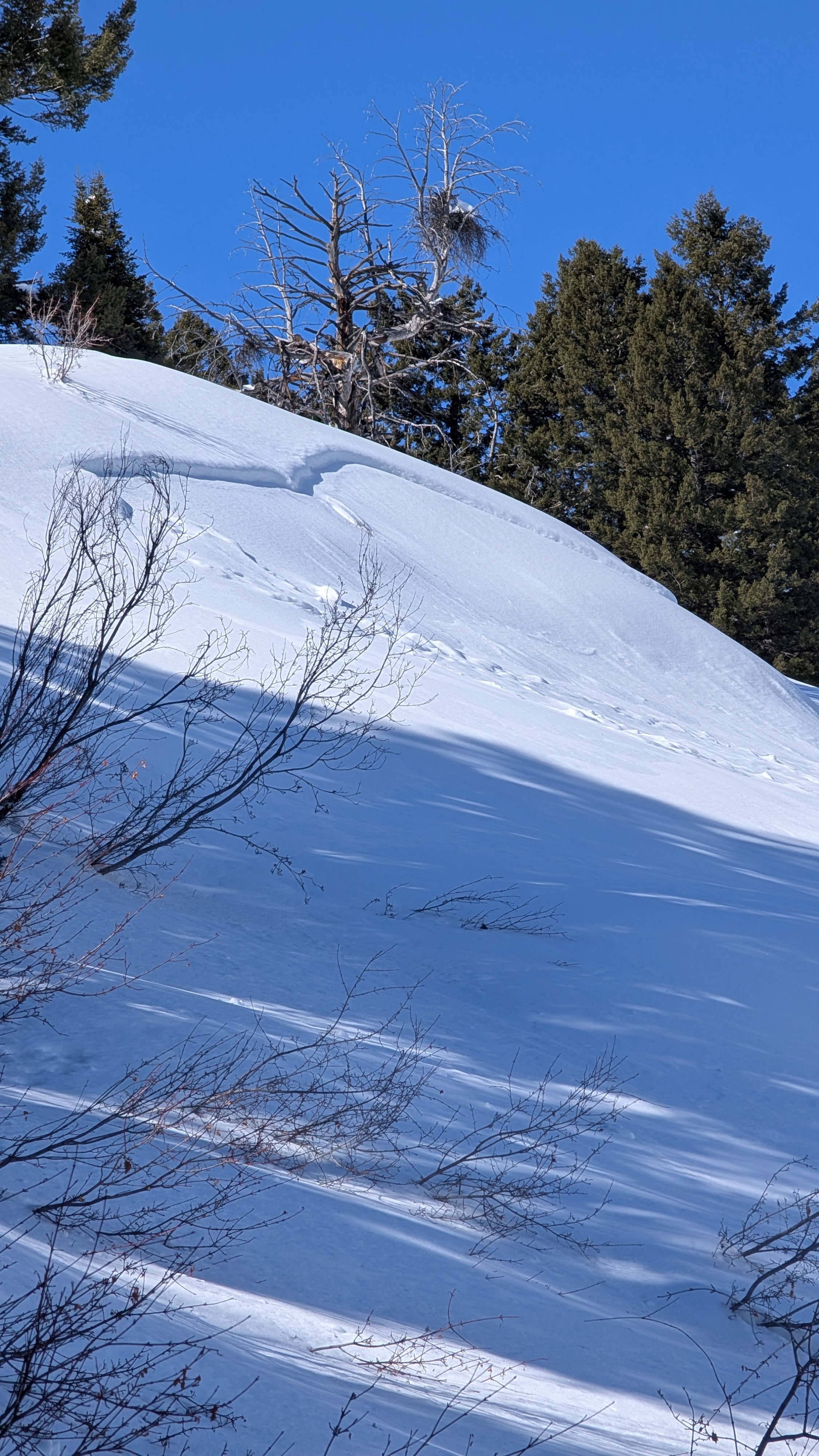
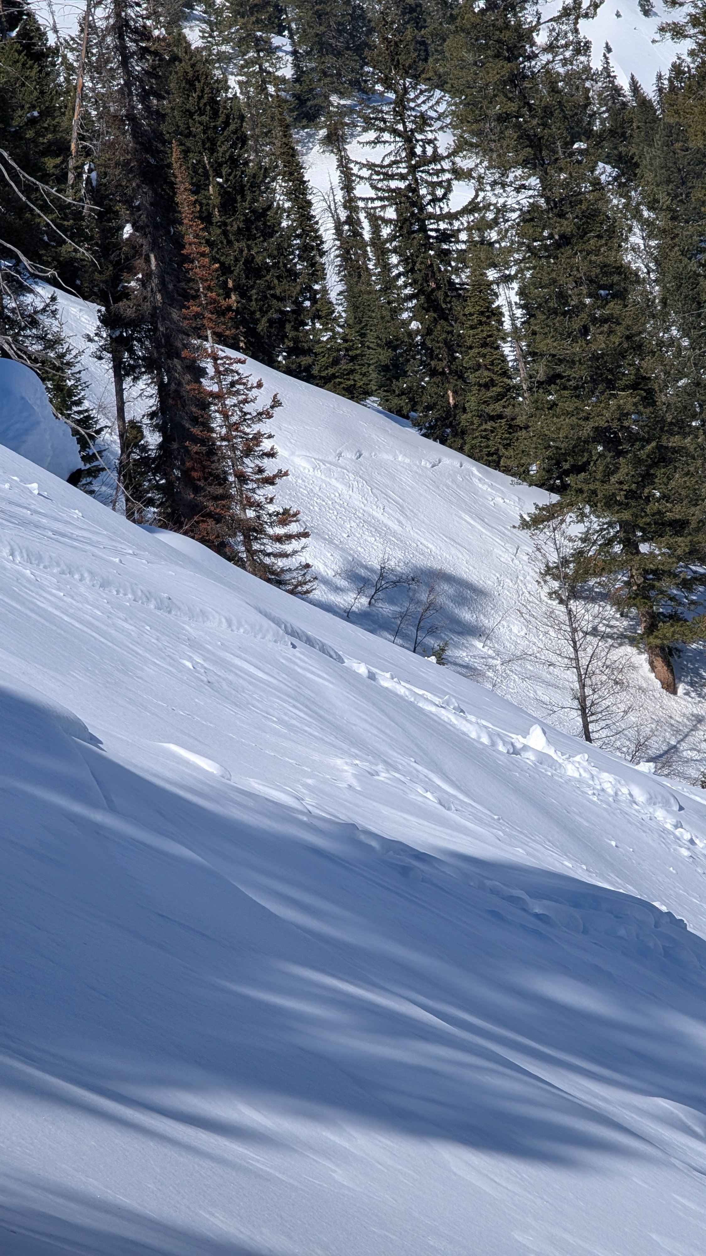
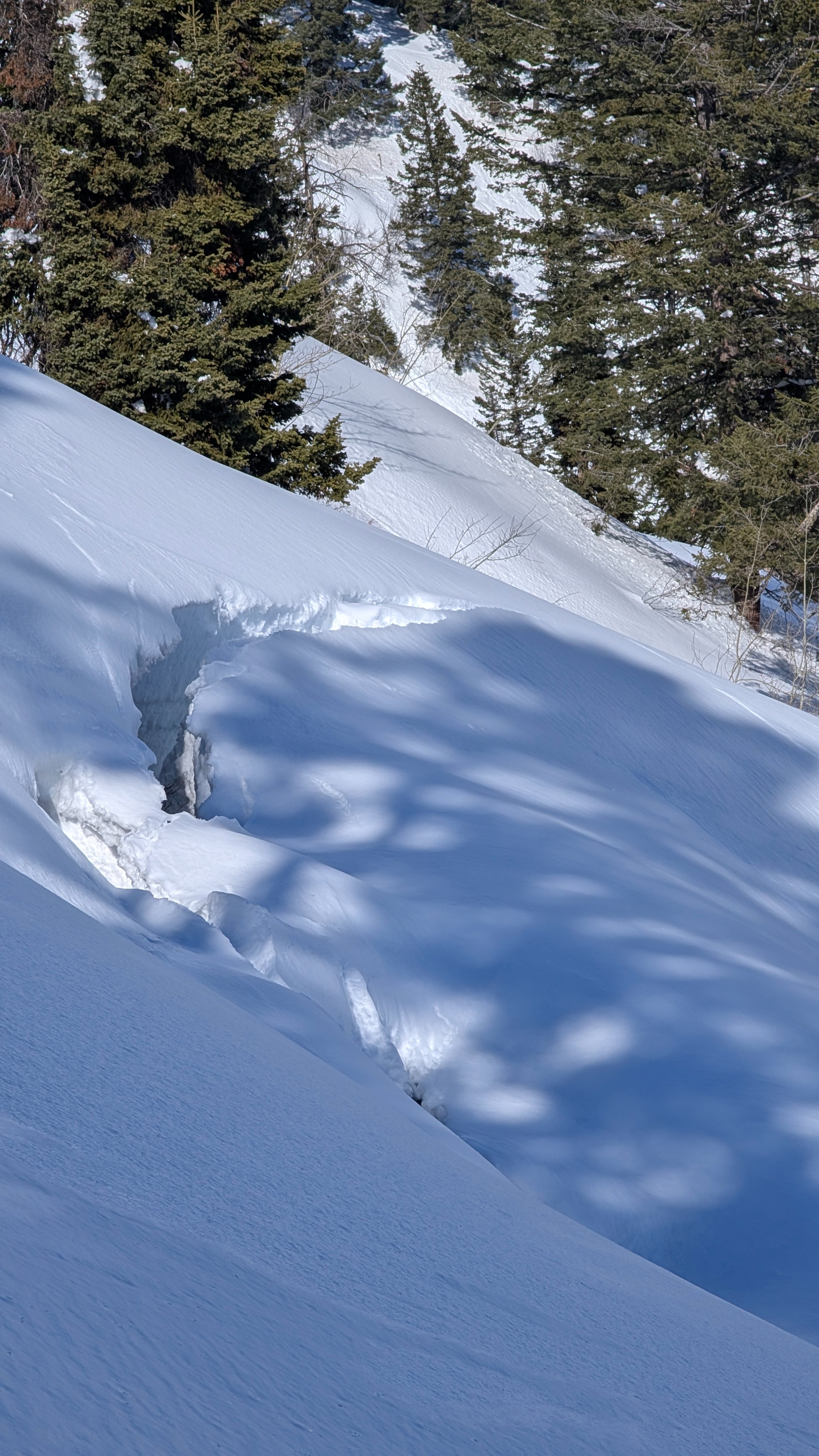
Saw many small D1 wet loose avalanches that most likely slid over 48 hours ago in the recent warm weather. Wet loose activity on lower elevations was on east through south through west aspects and narrowed down to southwest through southeast at middle and upper elevations. Overall, nothing huge and not as much wet loose as I was expecting to see. One 60 foot glide crack at 7500 feet in the start zone of a very steep, northeast facing gully. Also saw 4-5 small soft slab avalanches that looked very similar in nature to the avalanches from Ferry peak on 2/26. These avalanches were all in very steep (+35 degree) terrain on NE-E aspect around 7500', with crown lines of 6-8 inches. It appeared to have been the most recent storm snow from 2/24 that fell on a temperature crust that slid probably on the 25th or 26th. Given the sheltered nature of the terrain I suspect it was more of a storm slab that failed when temperatures warmed. The crust was still there but appeared to be decomposing.Weather
- Cloud Cover
- clear
Clear and calm up to 7500 feet, light breeze above 8k.
Snowpack
Saturated snow in the top 3-5 inches on sunny slopes at lower elevations on the way up this morning, increased to the top 10-15 inches on steep low elevation southerlies by 2:30. Shady surfaces have a crust up to about 7500 feet. Lower elevation northerly crusts were slowly softening by 2:30.
In the lower elevation SW pit that I dug, mid pack facets were saturated but I did not see any percolation columns anywhere I dug.
Above 8200 feet, northerly aspects held mostly cold and dry snow with slight moistening wrapping around from east to east southeast. Sunny aspects at this elevation were moistening and had a very thin, softening crust.