
Quick report
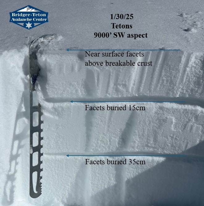
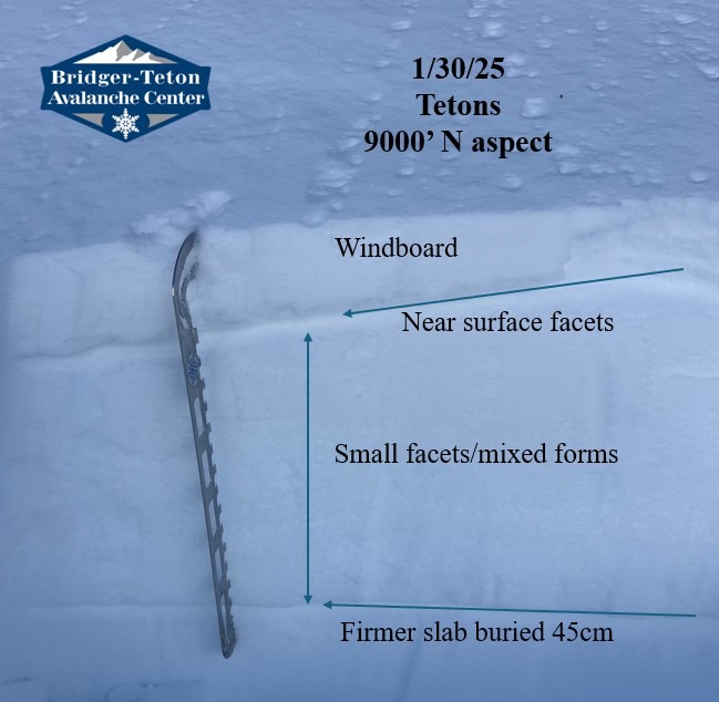
The objective for the day was to analyze the top portion of the snowpack to see what will lie beneath the storm this weekend. The most well developed weak surfaces were in lower elevations below 8,000' as cold temperatures from the inversion have helped drive the faceting (weakening) process. Strong northerly wind after the most recent snow and warm daytime temperatures have helped snow surfaces from weakening in the middle and upper elevations. There's a lot of windboard surfaces in the park right now of varying hardness (NW-N-NE aspects). East and sheltered northerly aspects contain near surface facets in sheltered terrain and a mixture of windboard/facets on exposed slopes. Southerly aspects contain crusts that are mostly breakable except very steep direct southerly aspects. These crusts contain an array of facets both above and below depending on the location. The top 50cm (20") of the snowpack contains multiple weak layers lacking a slab above and difficult to assess for stability, but are worth tracking.
Overall the top portion of the snowpack is weak. My main concern will be the current snow surfaces. The large loading event this weekend will see avalanches. It's going to be hard to predict exactly where these avalanches are most likely (aside from wind loaded slopes) due to large variability across aspects thanks to strong wind, solar influence, and clear cold nights (faceting conditions). It will be important to assess stability on a slope by slope basis over time as there are persistent grains that will be buried. Watching trends during the initial loading will help give insight into how all these weak interfaces will react over time.
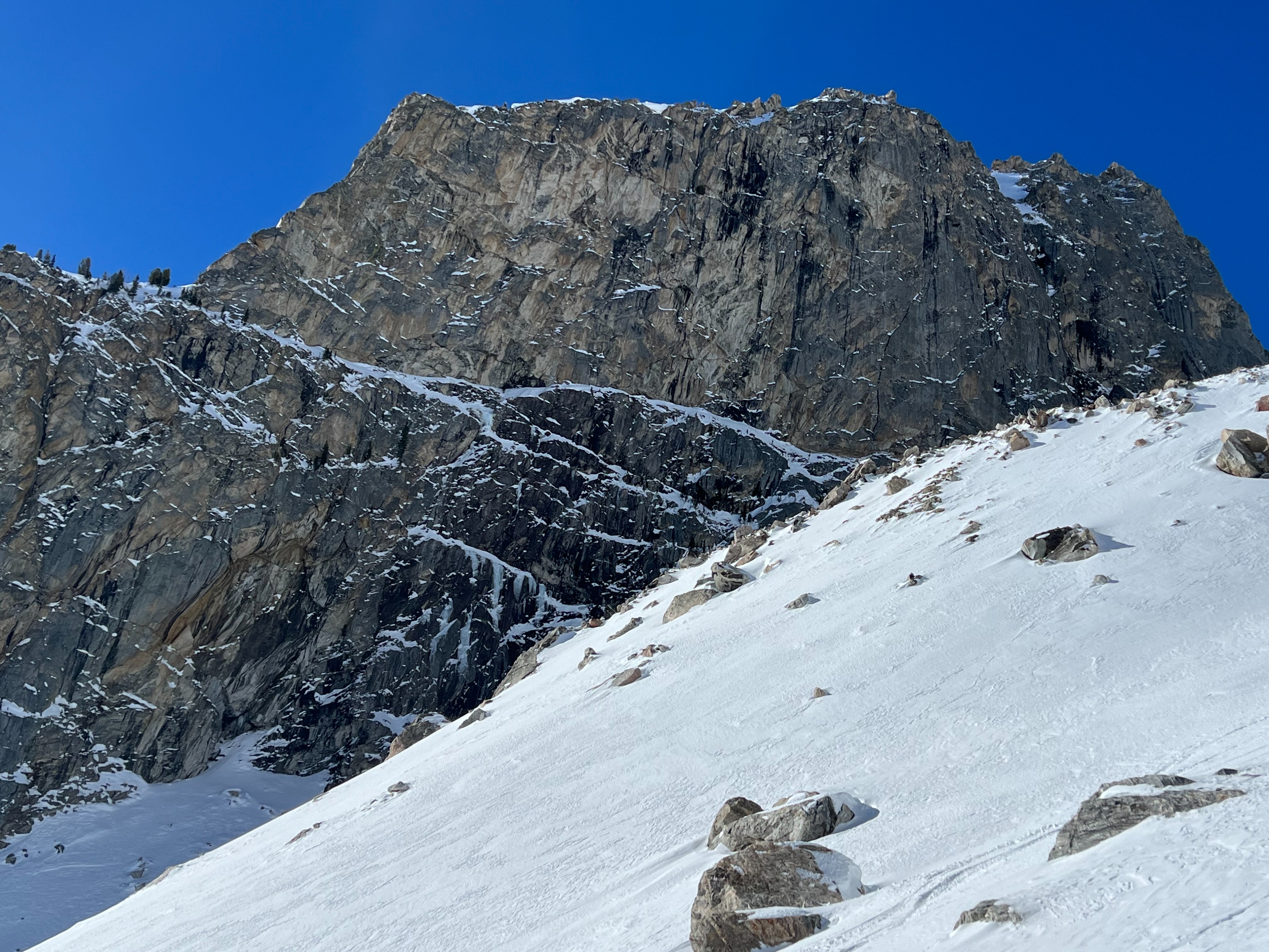
Small wet loose avalanches (less than D1) were observed on isolated terrain that was very steep around rock features on S-SE aspects.