
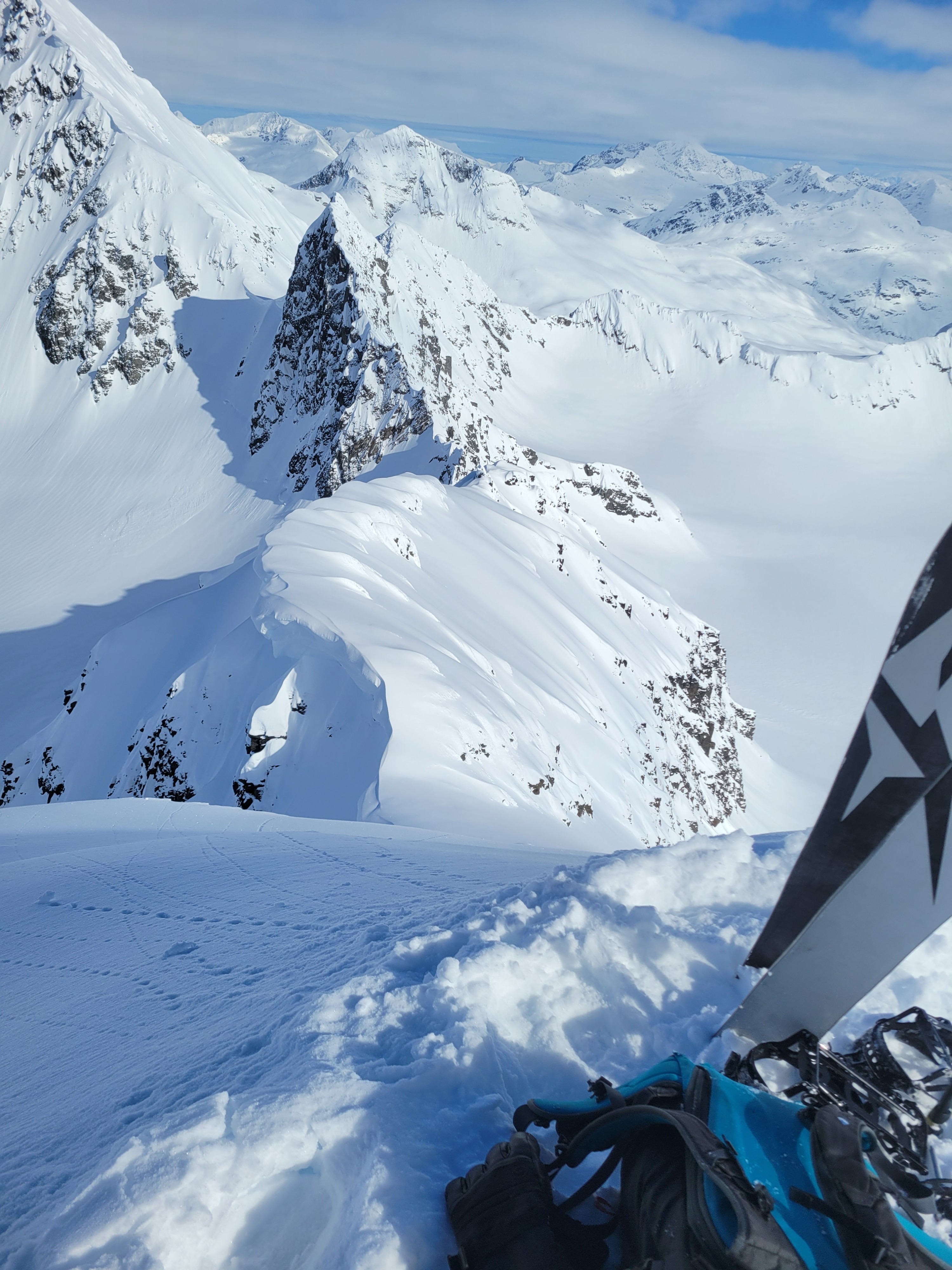
Quick report
Another day of warm, calm, and mostly clear weather in the AM allowed many users to get out on Thompson Pass. A variety of snow conditions can be found depending on aspect and elevation. Melt-freeze crusts will be found in all lower elevations up to at least 3500 feet. The top 10 cm of snow on Easterly and Southeasterly aspects up to 5500 feet was becoming moist with solar input. In contrast, cold stable powder can be found on Higher North and NE-facing slopes. Observed stability has been good except a few areas producing small loose slides.
Snow was becoming moist on S, E and SE aspects but activity was limited as cloud cover moved back in. On steep Northerly aspects, there was some dry loose activity running several hundred feet. Otherwise observed areas lacked signs of instability.Weather
- Air Temp
- 29
- Cloud Cover
- few
- Wind Loading
- none
- Recent Snowfall
- 20+ cm recent storm snow on high N aspects. Less elsewhere
- Snow Avail For Transport
- moderate amounts
The morning started mostly clear with a few clouds and became mostly cloudy into the afternoon. Temperatures held steady at a few degrees below freezing at all elevations. Winds were light and intermittent from a Northerly direction. Recent snowfall amounts were variable with aspect and elevation. The highest amounts were found on N faces above 4500 feet. Recent storm snow remained unaffected by wind up to ridgetops.
Snowpack
Near road level, the very wet snow from yesterday has dried out and formed a 4cm thick breakable melt-freeze crust on the surface. The crust gradually dissipates with elevation but can be observed up to 4000 feet. Above 4000 feet snow becomes soft and dry on Northerly aspects. Easterly aspects up to 5500 feet including 27 mile glacier had moist snow on the surface. High easterly aspects on Saphire had small amounts of recent storm snow with a variety of grains underneath including crusts, facets, and even a thick layer of graupel. Snow lacked slab characteristics throughout the area.