
Quick report
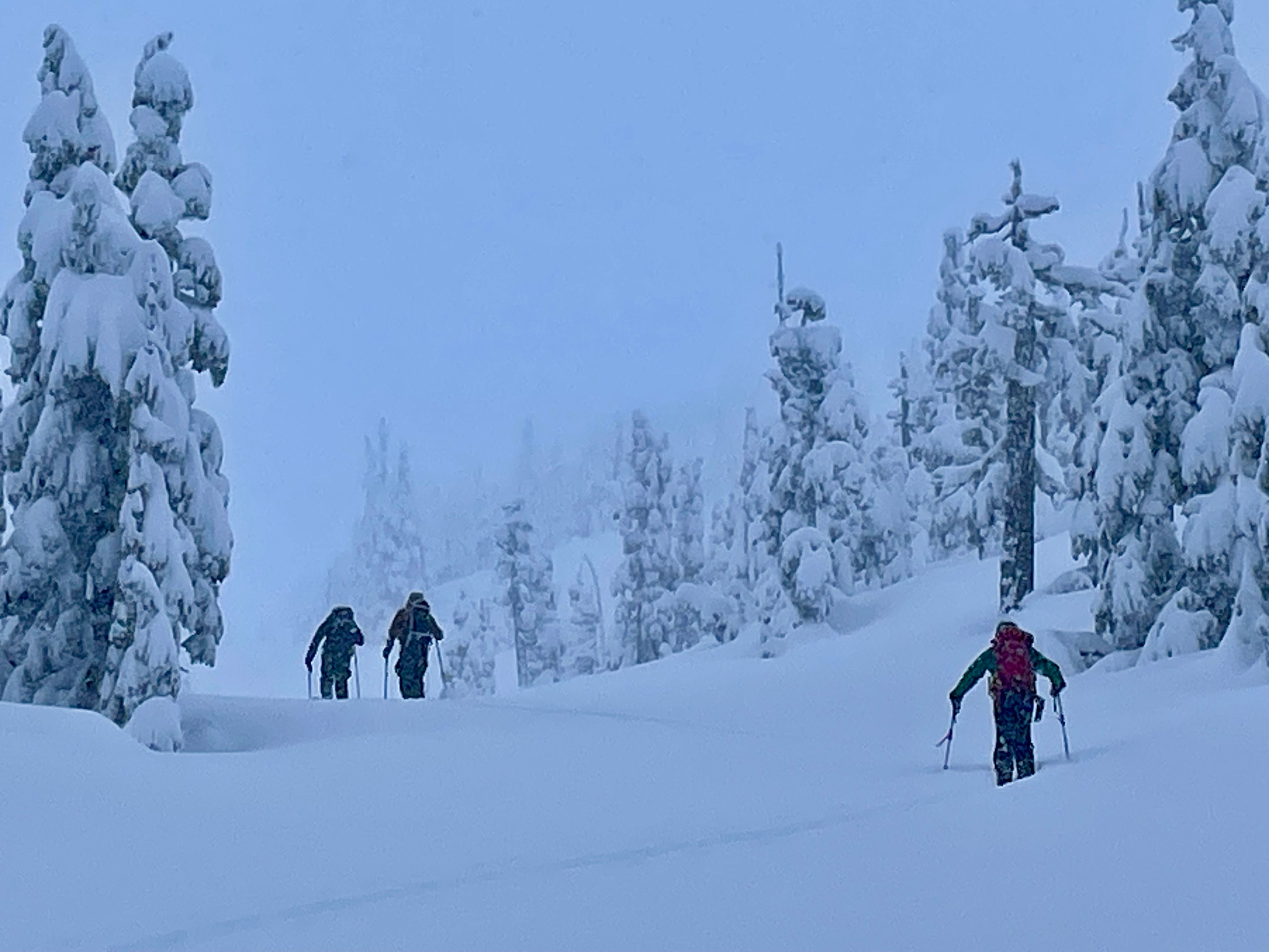
In protected terrain, over a foot of new snow appeared to be bonding well to the old snow surface. N-NW winds started to kick up during the day blowing snow off trees. That was an indicator that the intense northerly outflow was making its way into the valley. Coverage looked good above 1,500ft with an average snowpack depth at 2,200ft of 240cm.
Weather
- Air Temp
- 12
- Cloud Cover
- obscured
- Wind Loading
- light
- Recent Snowfall
- 40
- Snow Avail For Transport
- large amounts
Light to moderate snowfall and temperature dropping throughout the day. The NW wind started to kick up and blow snow off trees.
Snowpack
At 2,200ft on an NE aspect total snow depth HS240cm. New snow was over a supportable crust. Below was a series of crusts, including a visible ice crust down 50cm. The most noteworthy layer was down 80cm which consisted of 3-4cm of softer snow and more granular snow crystals (0.5-1mm rounding facets). Although the layers above were strong enough that an extended column test didn't produce results (ECTX).