
Quick report
- Cracking
- specific
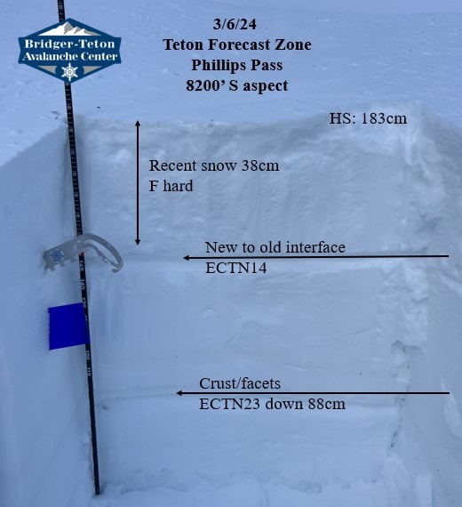
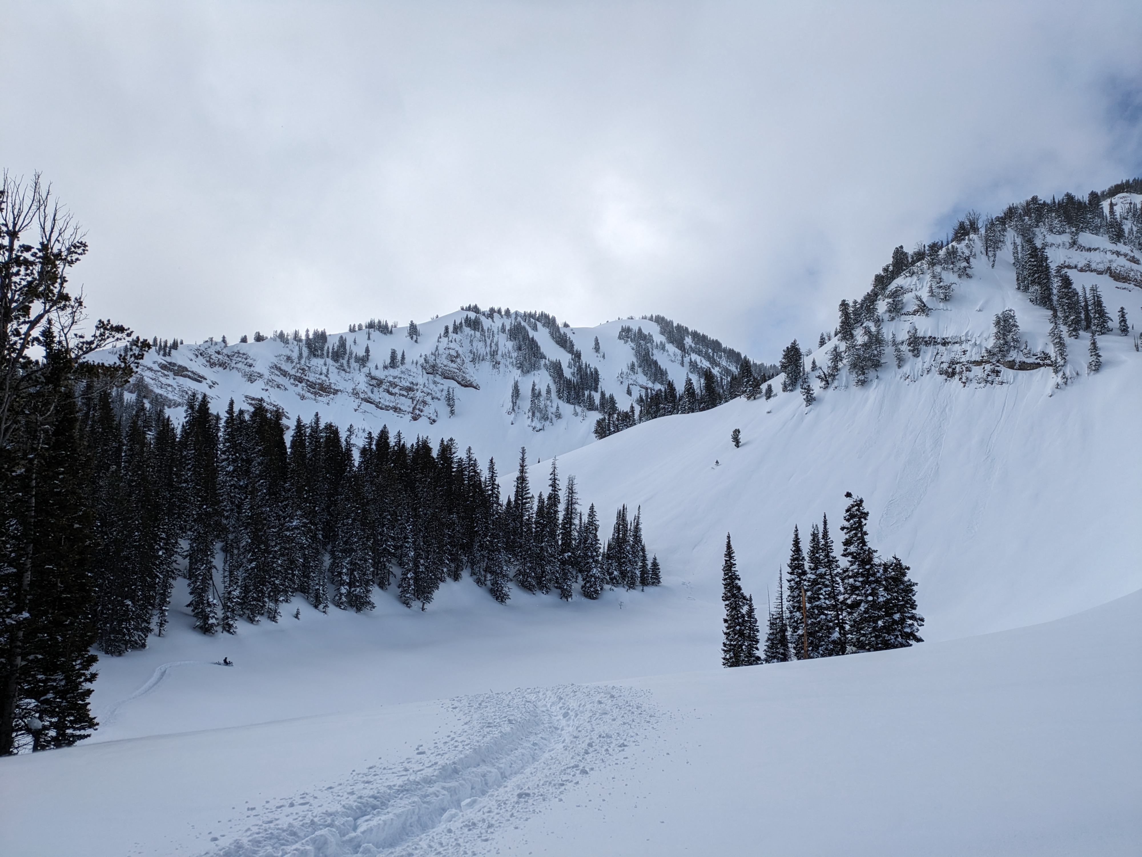
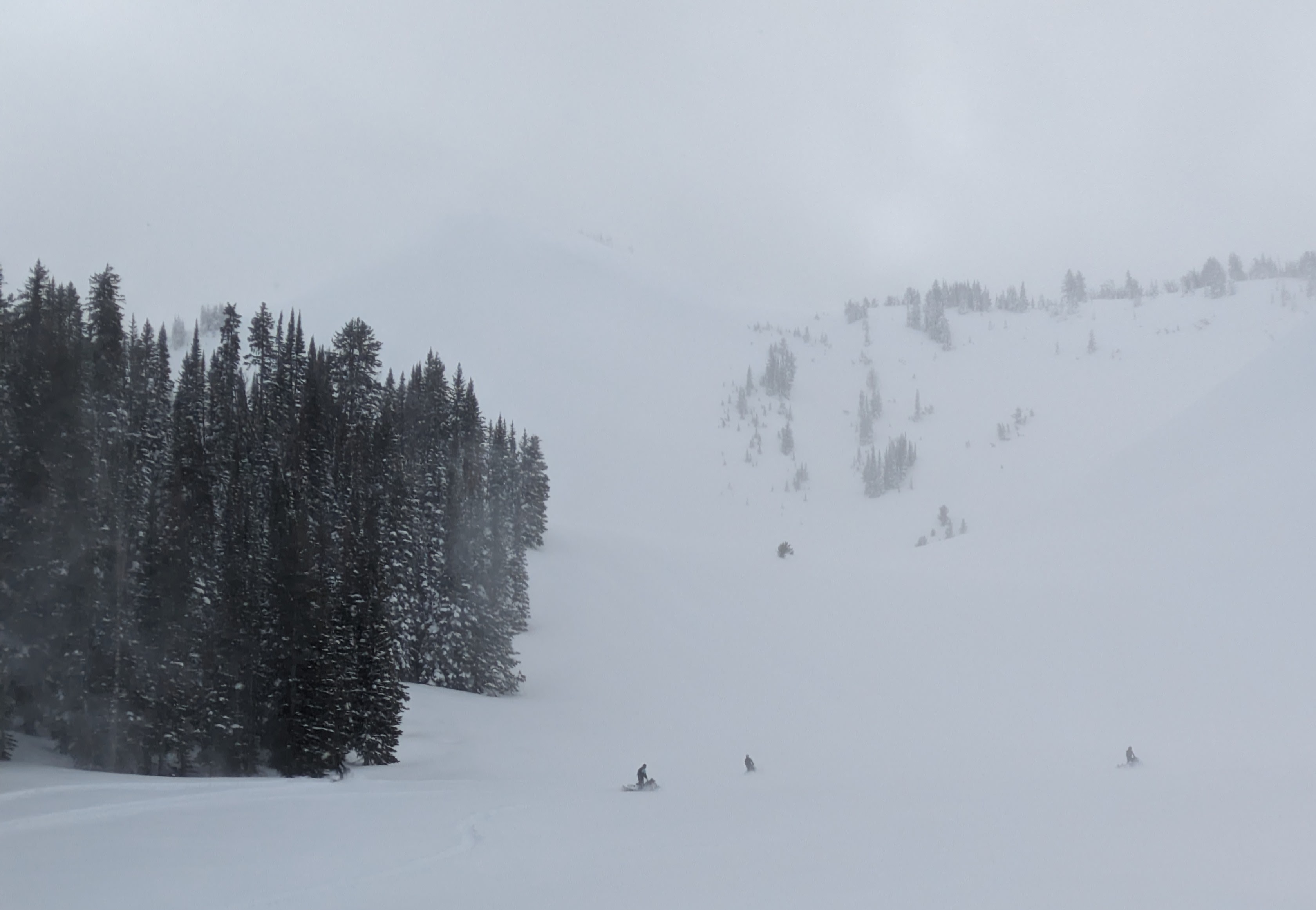
Westerly wind ramped up late morning and continued through the afternoon. Test slopes showed that the wind affected snow was forming a reactive slab up to a foot thick in our safe and relativley protected location. The plumes at the ridgetops and pillows observed during periods of good visibility told a snother story of thicker and more dangerous wind slabs. We assessed several small test slopes and decided as a group to stay off of slopes over 30 degrees that showed any signs of wind affect. We probed in a few locations and dug at 8200' in a thinner snowpack to check on any deeper weak layers that may have developed around crusts. The small moist facets under a crust down 2.5 feet showed hard results on an irregular failure plain and weren't of much concern though filed away for future consideration. Higher elevation northerlies and shady aspects held deep soft snow - waist deep boot penetration. The older weak layer (Jan 4) is buried very deeply and seems likely to be moving toward dormancy. Avalanches on this layer have required a very large storm or wind load (Palisades Peak, 3/2 and Treasure Mtn, 3/5) or cornice/wind slab trigger (No Name 2/16) ad have occured on steep, rocky or unsupported slopes, in other words, in isolated locations. The Claw avalanche (3/2) appears seems likely to have have been only new snow.
Wind is forecast to diminish tonight leaving us with only half a day for these new slabs to settle. These wind slabs are likely be in the stubborn to reactive range, tomorrow, but potentially quite large (D2.5) at higher elevations. One to three inches of new snow overnight may make signs of wind affect less obvious tomorrow. Partial clearing and sun tomorrow should be monitored.
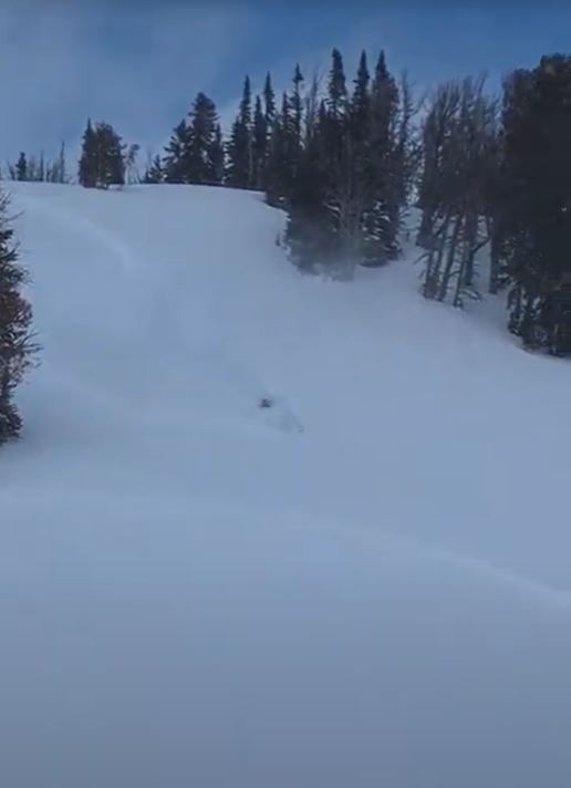
Test slopes in relatively sheltered areas produced cracks and small slabs up to a foot thick. Wind slabs likely grew in most of the Tetons through the day and will still be a concern on Thursday.Weather
- Air Temp
- 20
- Cloud Cover
- broken
- Wind Loading
- intense
- Recent Snowfall
- 45
- Snow Avail For Transport
- large amounts
Wind increased mid-day. Plumes of snow were observed at the ridgetops. Solar gain led to rapid wetting of surface snow and isolated wet loose on roadcuts.
Snowpack
Solar aspects at 8300' became wet on the surface and began to form a slab as the sun hit them. Roadcut wet loose observed. By 4pm, 2 cm crust had formed as slopes moved into the shade.