
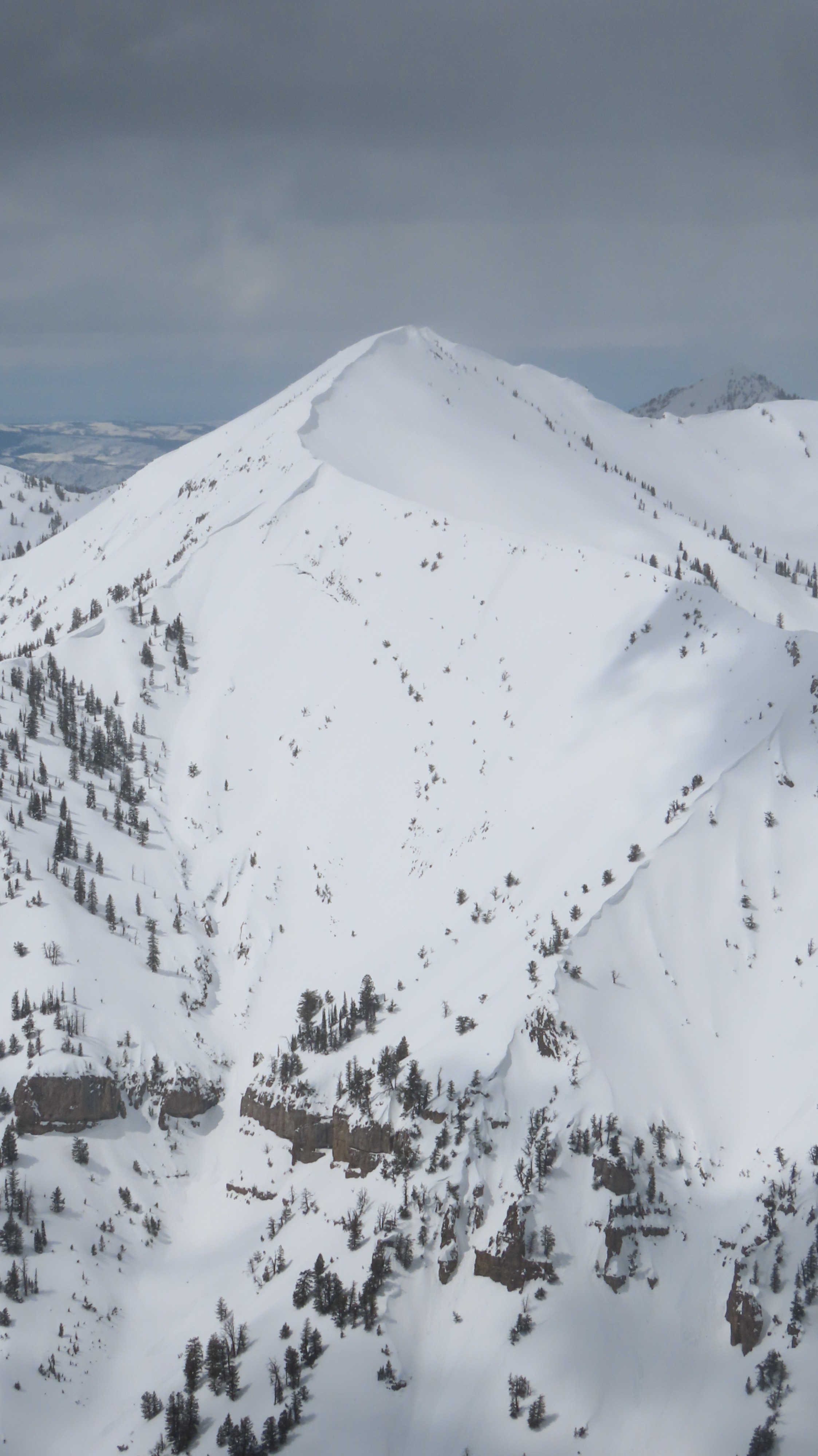
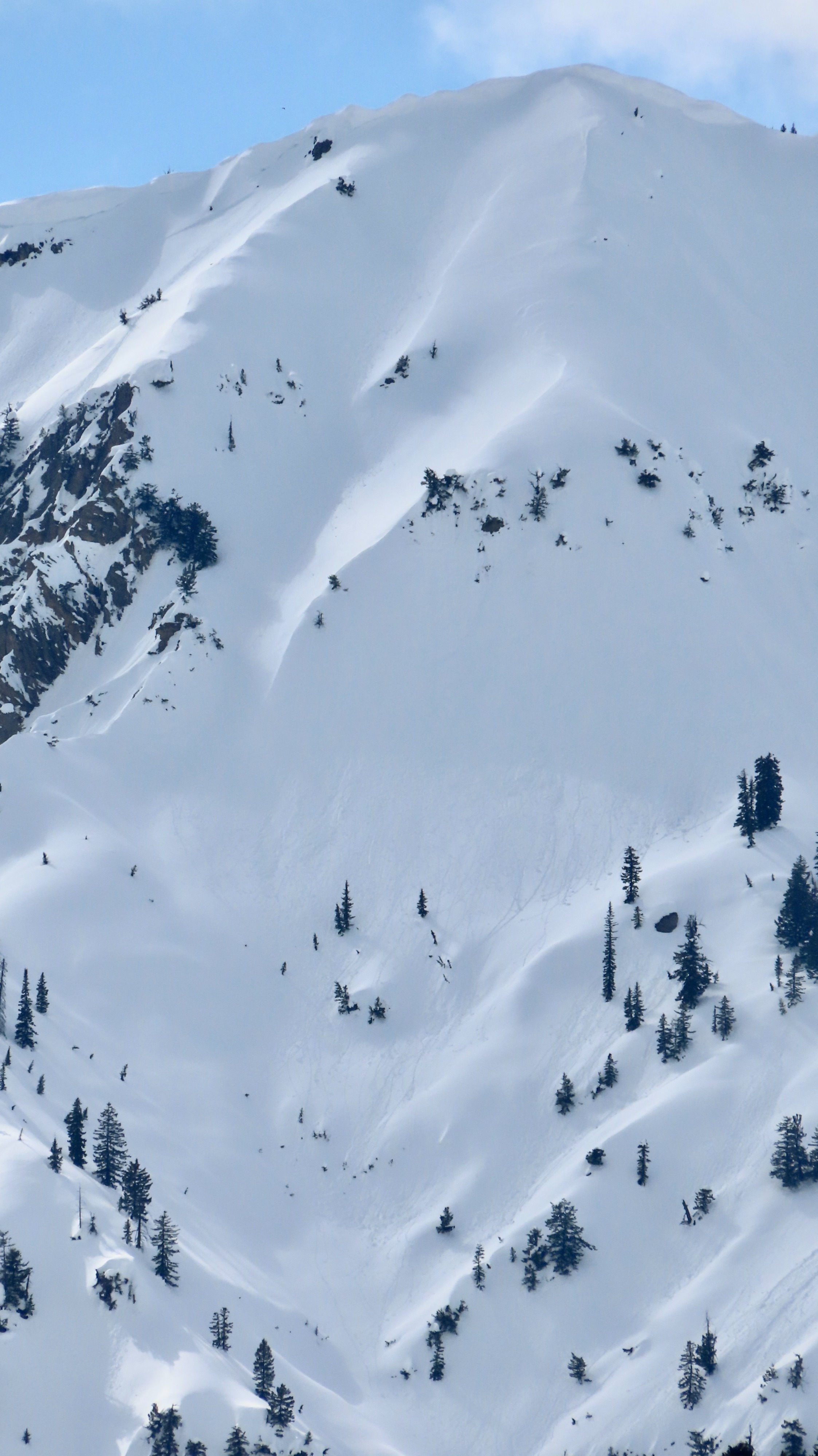
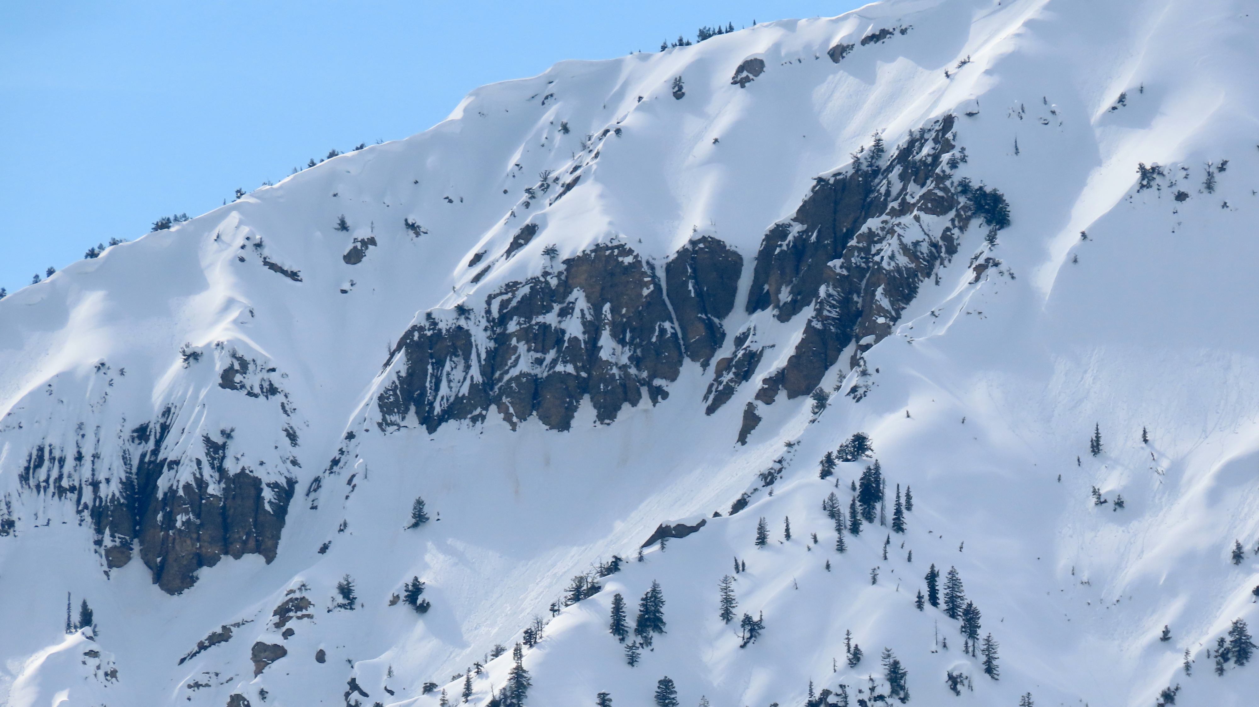
Quick report
- Cracking
- isolated
Surficial refreeze of the snowpack was seen up to 9,000 feet, and consistent moderate winds and cloud cover kept things cool until the afternoon. Beyond that point, primarily dry snow was found which increases my concern for Monday and upper elevation instabilities. Tomorrow will be warm and more solar than today, but Monday is looking nearly 10 degrees warmer which will be an extreme transition. Skiing out was sticky and breaking down on slopes, particularly S-facing, below 8,000 feet. Persistent slab problems are going to trend more and more unlikely as we get more days of melt with (hopeful) refreeze. I have uncertainty as to whether or not a wet slab cycle will present itself in the Tetons generally, however, a large cycle of wet loose is likely imminent and these avalanches can be just as unexpected and travel long distances. I do think the recipe and conditions seem to set up for a Togwotee wet slab cycle, and estimate portions of the Wyoming Range of the Greys may fall under the same cycle.
Wind slab cracking on N aspects was around 4-8 inches in depth and stubborn. These pockets will hang out for longer above 10,000' and could push a rider off their feet in the right terrain, however, those below 10,000' appeared melded on. Triggering a surface wind slab also increases the odds of triggering any lingering deeper persistent problem. Most activity isolated to E and S aspect wet loose activity, small-medium sized. The size of these avalanches will increase in the next two days as temperatures continue to warm or any more direct solar input is seen.Weather
- Cloud Cover
- scattered
- Wind Loading
- light