
Quick report
- Collapsing
- Observed
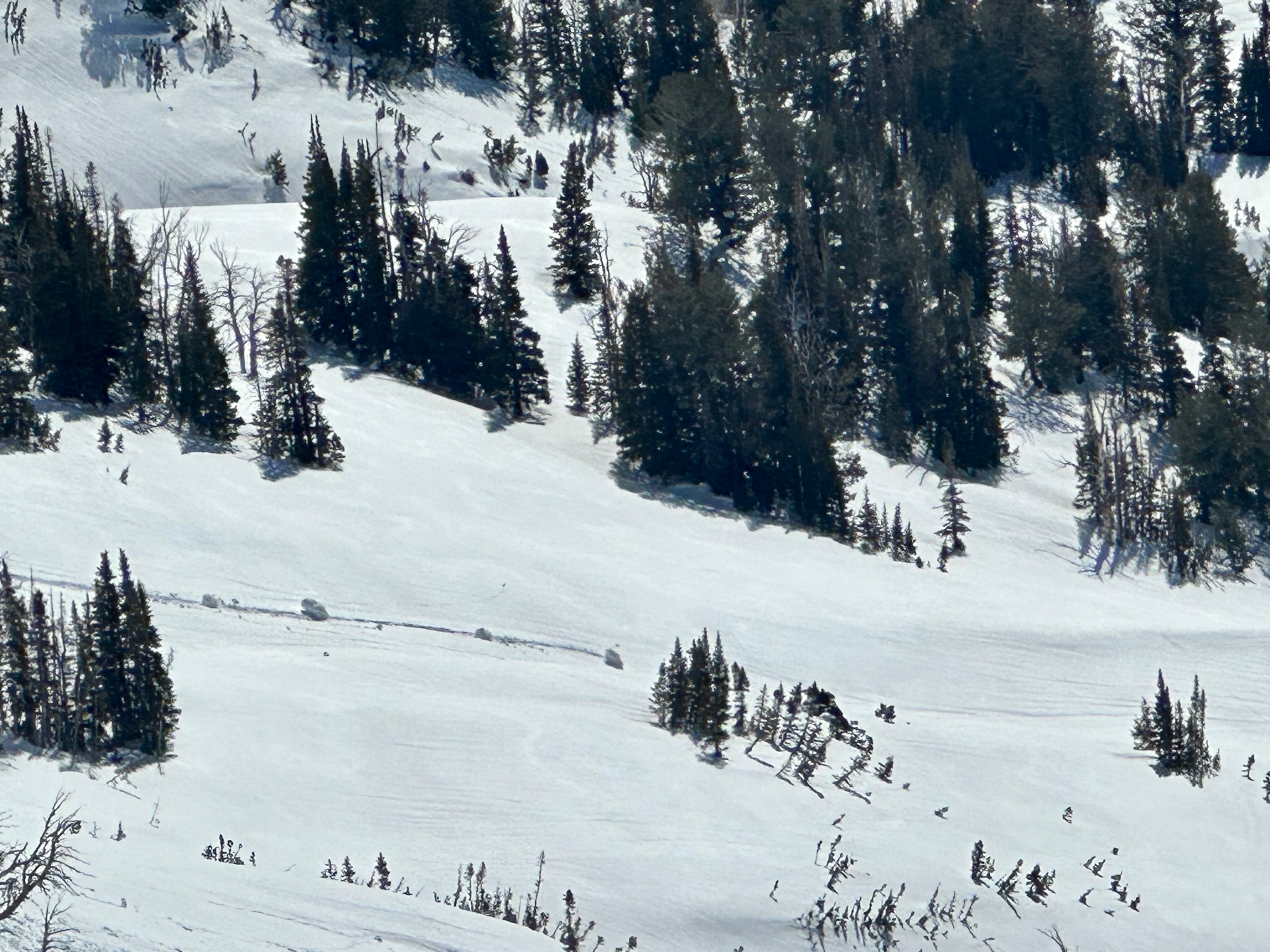
While the small collapses around my skis at the lower elevations - from the lack of substantial refreeze - were expected. The much larger one, on a WNW facing slope at 9,828' made me shiver a bit.
Weather
Very warm and sunny, with moderate winds and gusts from the SW.
Snowpack
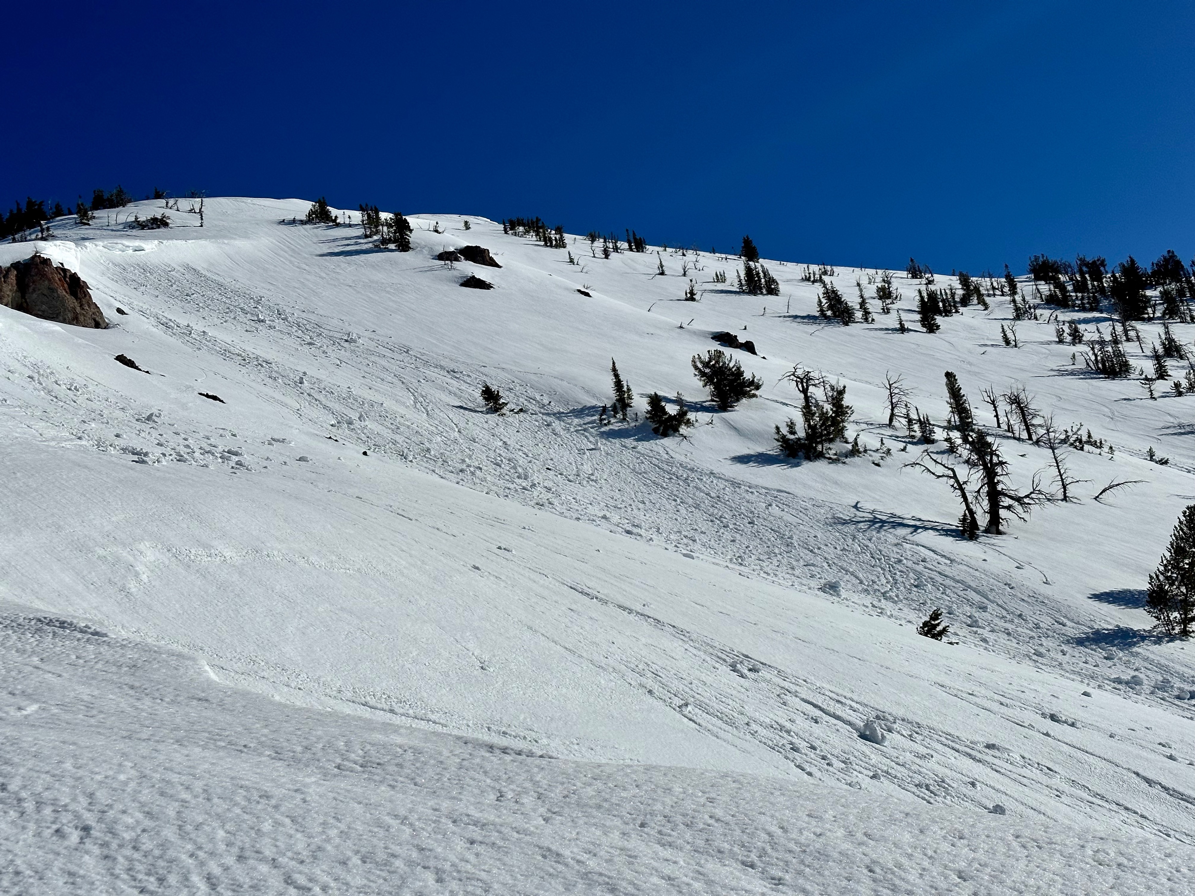
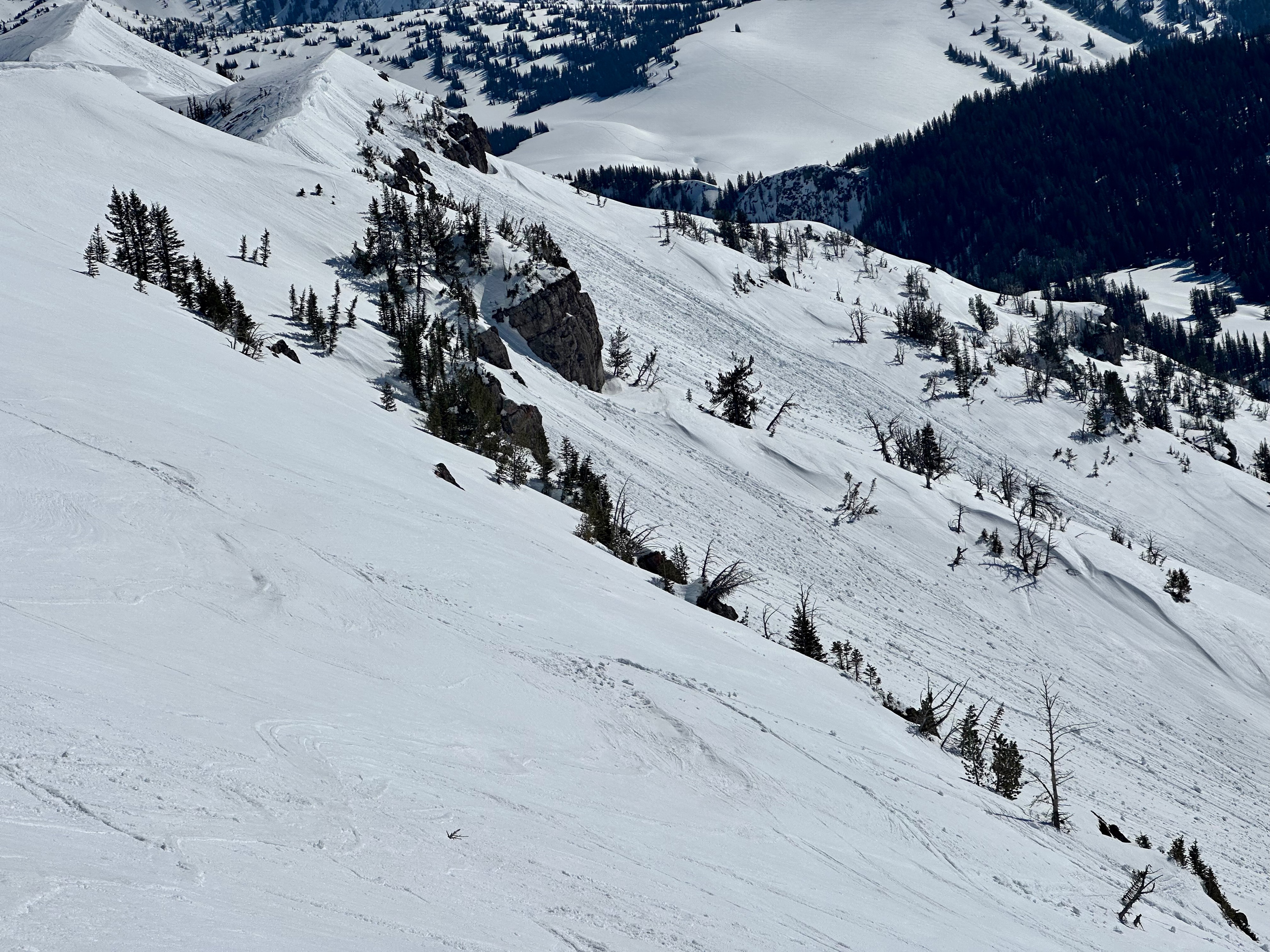
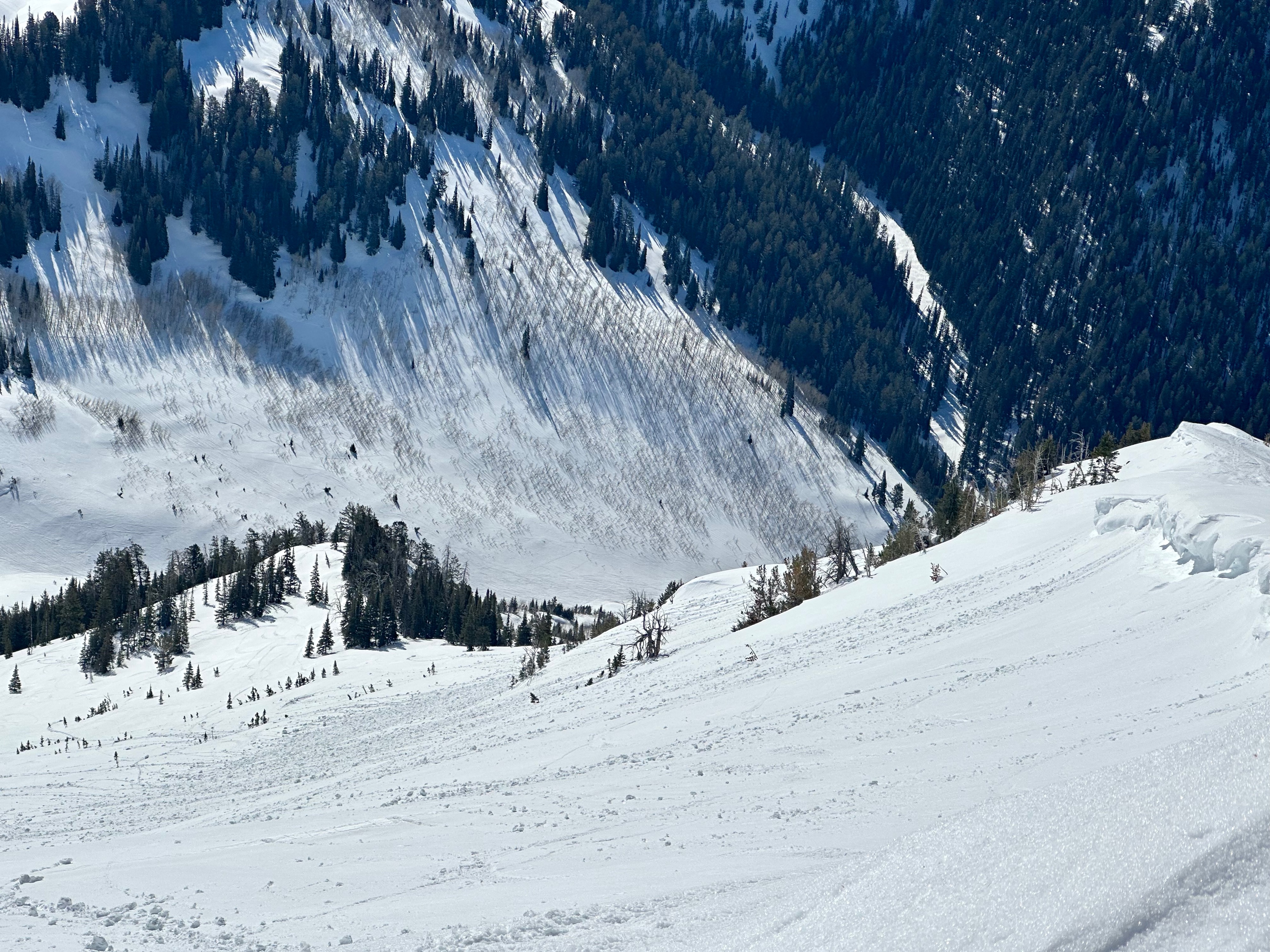
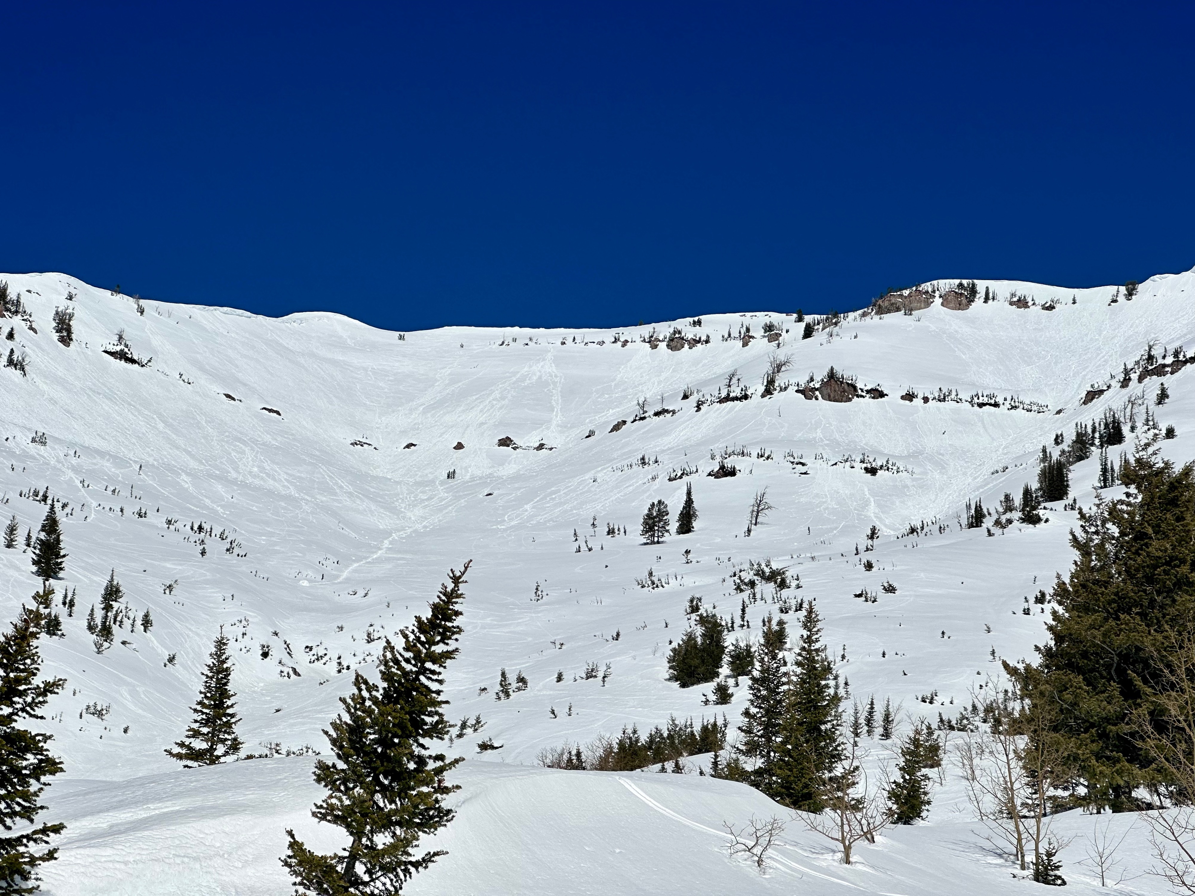
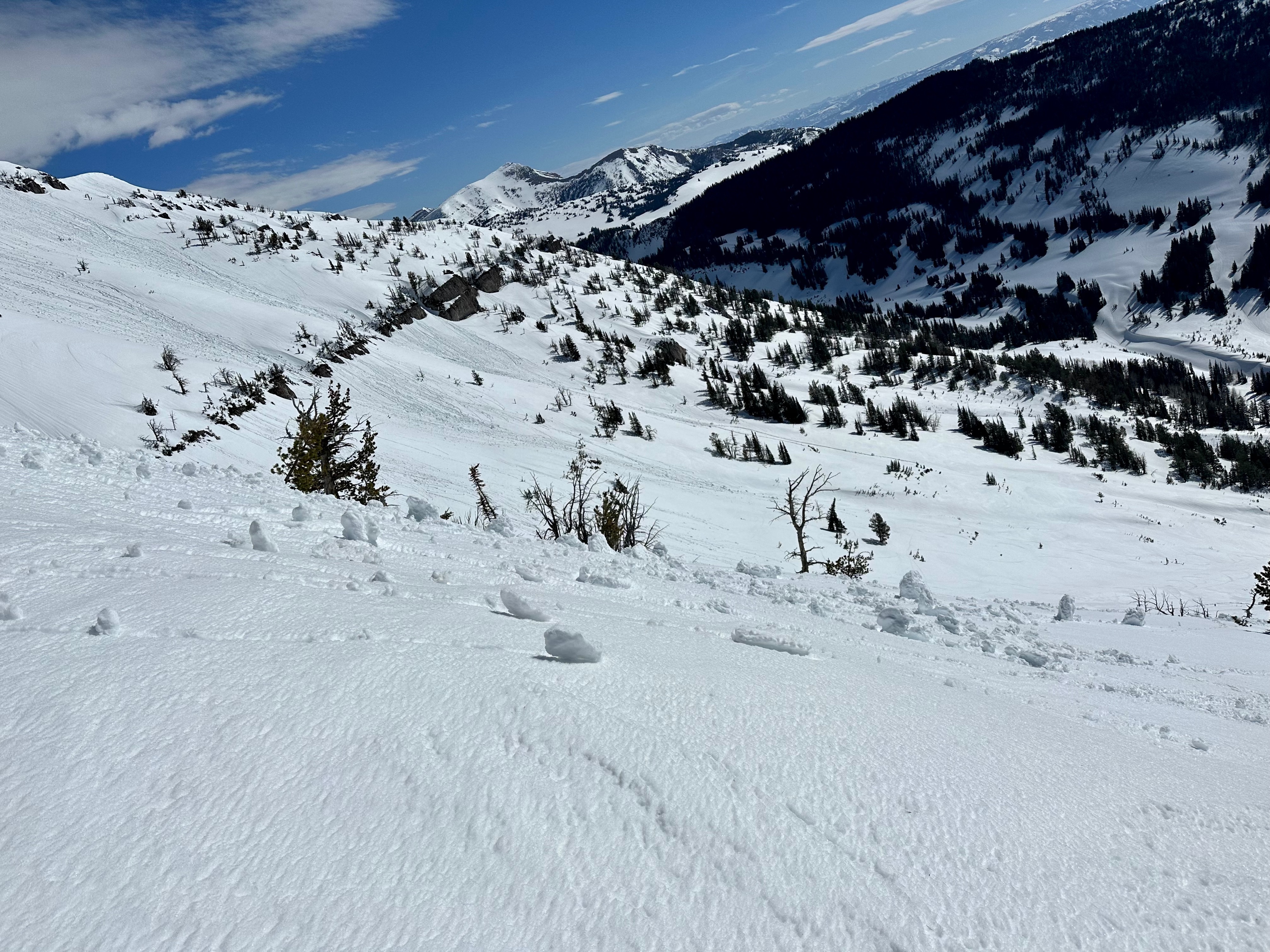
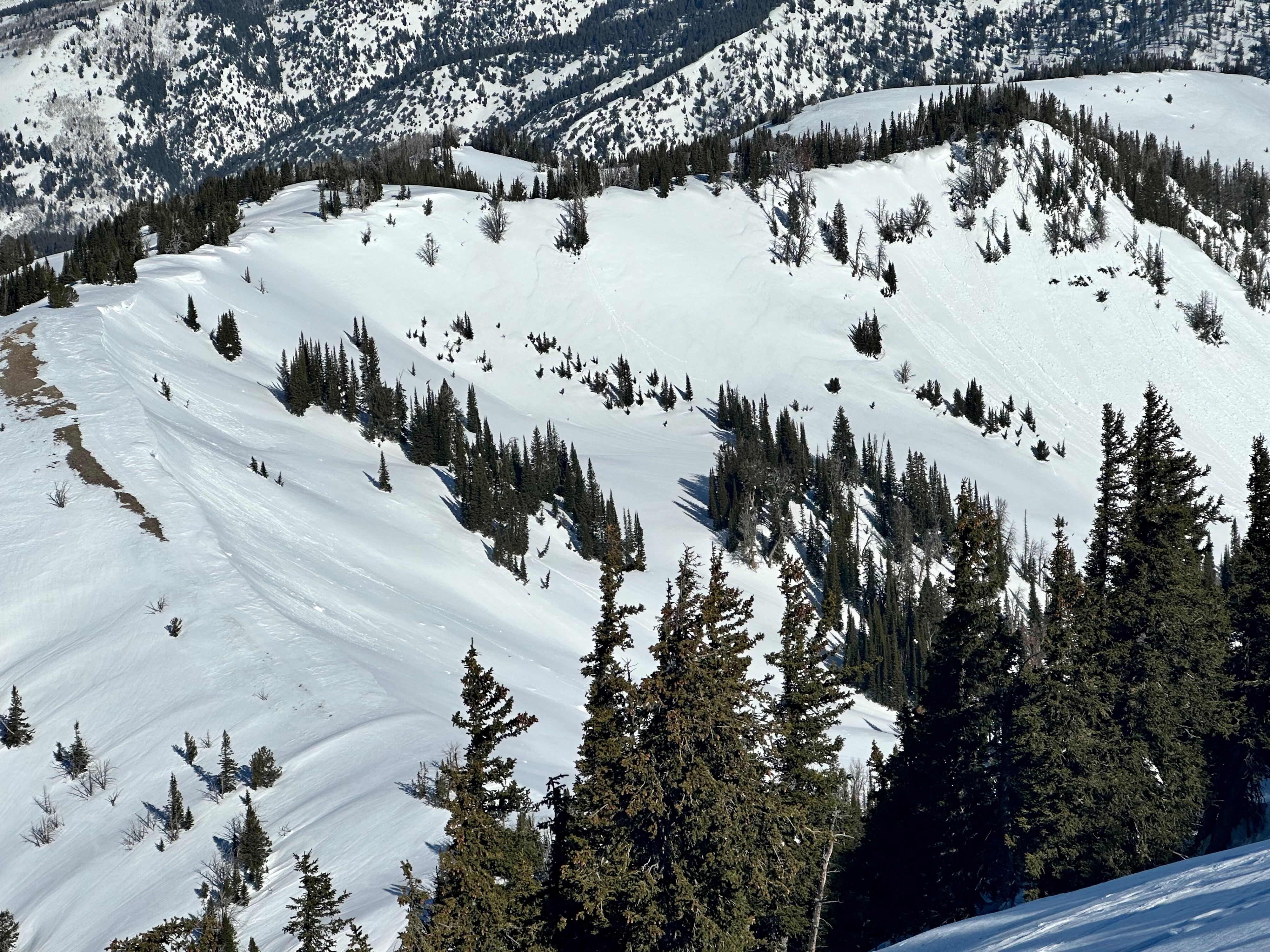
Travel today was up Taylor to view some of the damage from the heat wave, and lack of substantial refreeze the past two nights. Wet loose avalanches and pinwheels were apparent on anything steep, especially slopes with rocky outcroppings or cliffs. Observed some wet loose that occurred on ENE in the upper elevations, also with little bits of cornices that seemed to have fallen off - NE off of Straw Point (this is noteworthy given the more northerly aspect with wet loose). The flash freeze - where only the top few centimeters of the snow froze last night - allowed me to easily probe my pole into the snowpack at the top of the South and East faces. This is a red flag given how wet and unconsolidated the snowpack was in steep avalanche terrain. Things will be cooling a little more tonight, but I would be wary of avalanche terrain until it really locks up - which is forecasted perhaps for Wednesday evening.