
Quick report
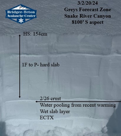
At 9:30 am low elevation snow was softening on eastern aspects. At middle elevations, surface snow softened by 10:30 am on solar aspects. Above 8000', winds were light from the SW. While winds aided in cooling the snowpack, snow was still becoming unsupportable by noon, especially in terrain protected from the wind. Digging down into the snowpack we found a total snow height of 5 feet (154cm) on a south aspect at 8100'. Water was pooling on a crust layer 25 inches (64cm) and 31 inches (79cm) down. While ECT tests yielded no results, a shovel sheer with light pressure propagated a block 25 inches down. As free water continues to pool on the crusts, creating slushy weak snow, the chances of triggering a wet slab avalanche will increase. We now know that water moving through the snowpack is pooling on crust layers. Until water establishes drainage channels or re-freezes, we will need to pay close attention to how warm the snowpack is getting through the day. With that in mind, an approaching storm should bring colder temperatures to the area starting Thursday night.
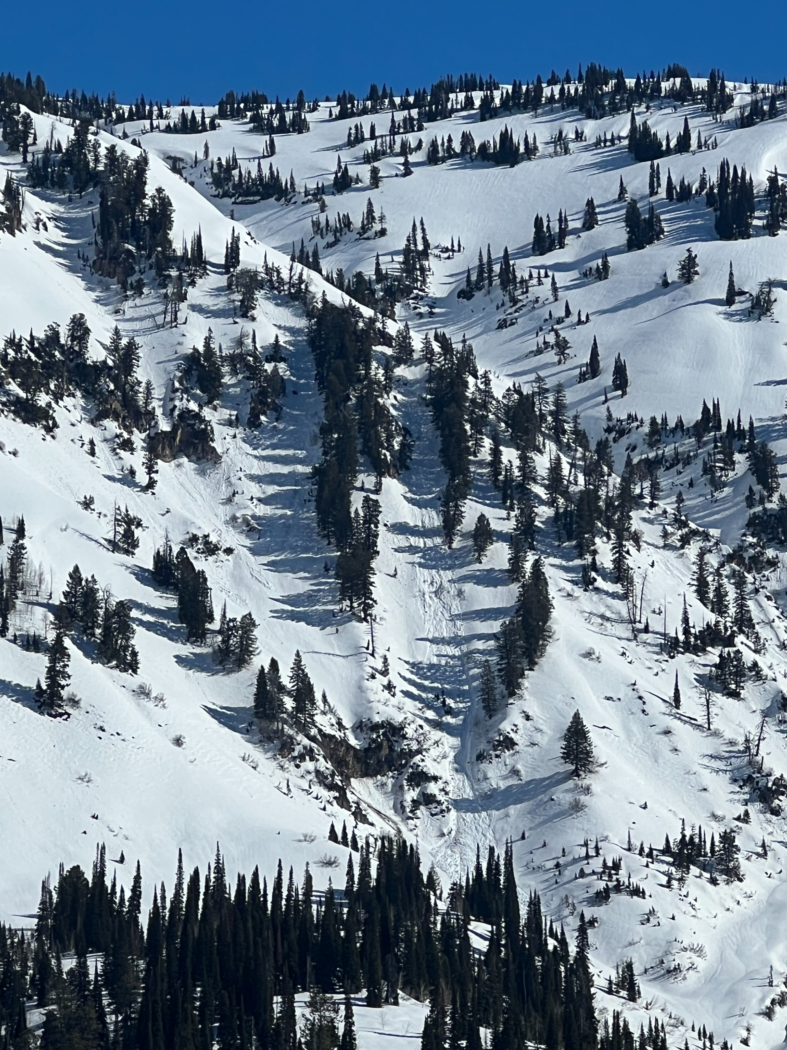
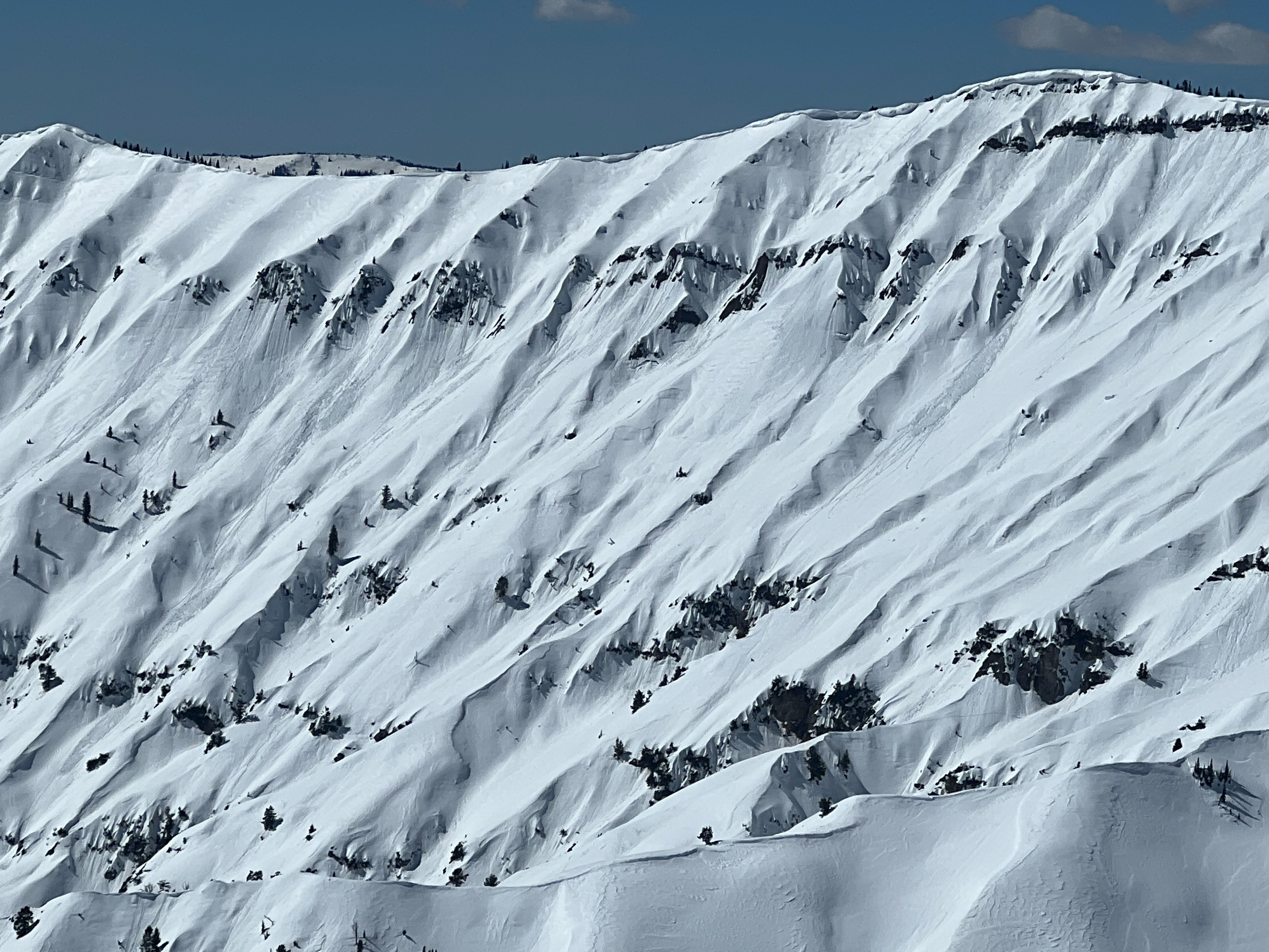
In our travels, we also identified signs of recent wet avalanche activity. Most of these were limited to small wet loose avalanches, though one avalanche coming off exposed cliff bands gained momentum and made its way down a longer gulley. This is a great example of how wet avalanches can travel long distances. Building in a larger safety margin, even below runout zones, is important while traveling in the warm mountains.
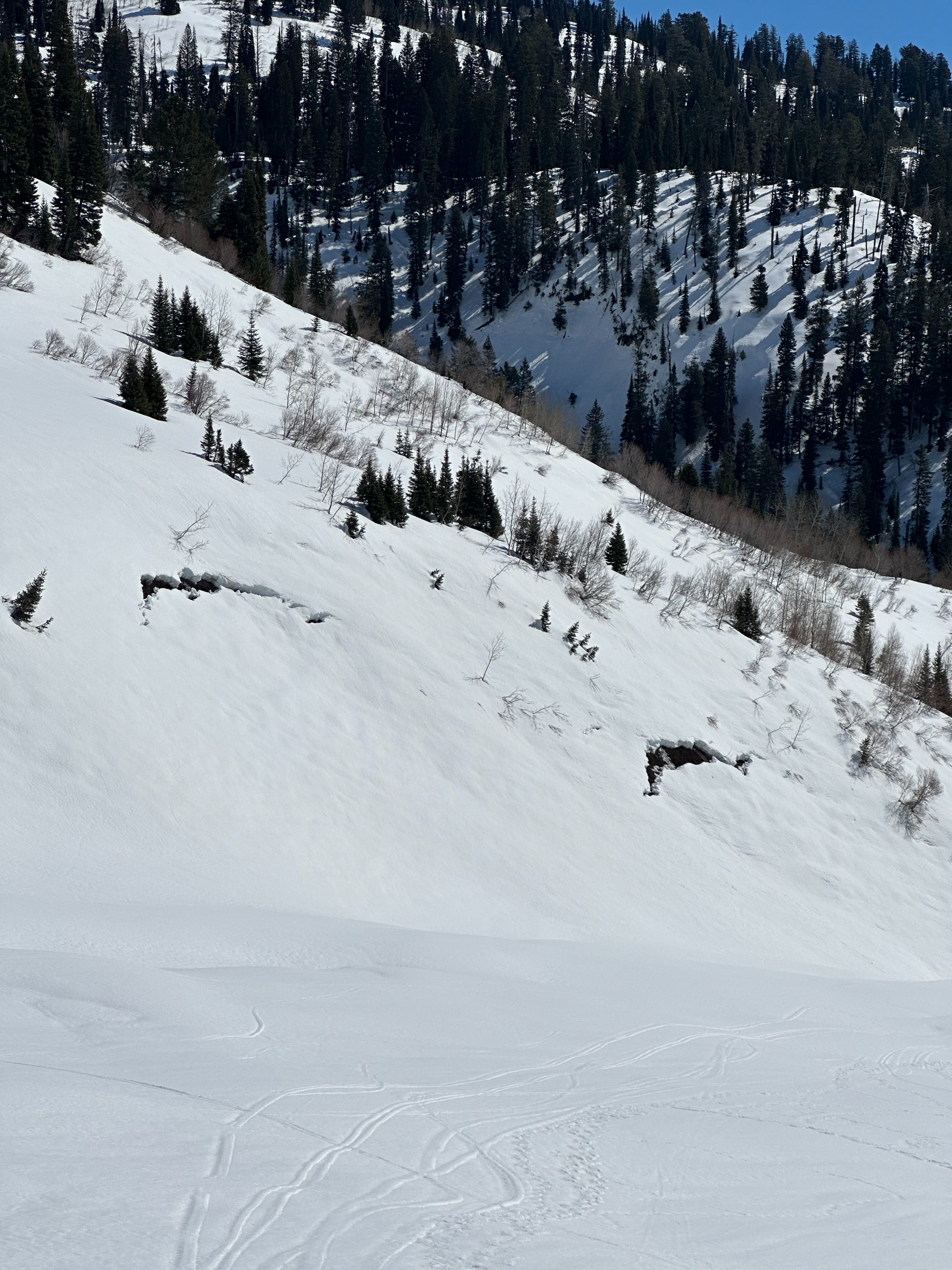
Signs of warming presented around noon at middle elevations. Surface snow started trending towards unsupportable and wet. Roller balls and very small wet loose slides could be triggered on steep solar aspects. Glide cracks were present on low-elevation, west-facing slopes.Weather
- Cloud Cover
- clear
- Wind Loading
- none
- Recent Snowfall
- 0
- Snow Avail For Transport
- none
Blue sky and warm temperatures. The bottom of Snake River Canyon was 55 F at 1 pm. Winds were light from the SW above 8000'.
Avalanche
- Size
- D1
- Type
- WL
- Aspect
- S
- Elevation
- 8700 ft
Wet loose avalanche from Red Creek. Started on south aspects then turned into a gulley picking up additional snow and maintaining its momentum through a lower-angle gulley.