
Quick report
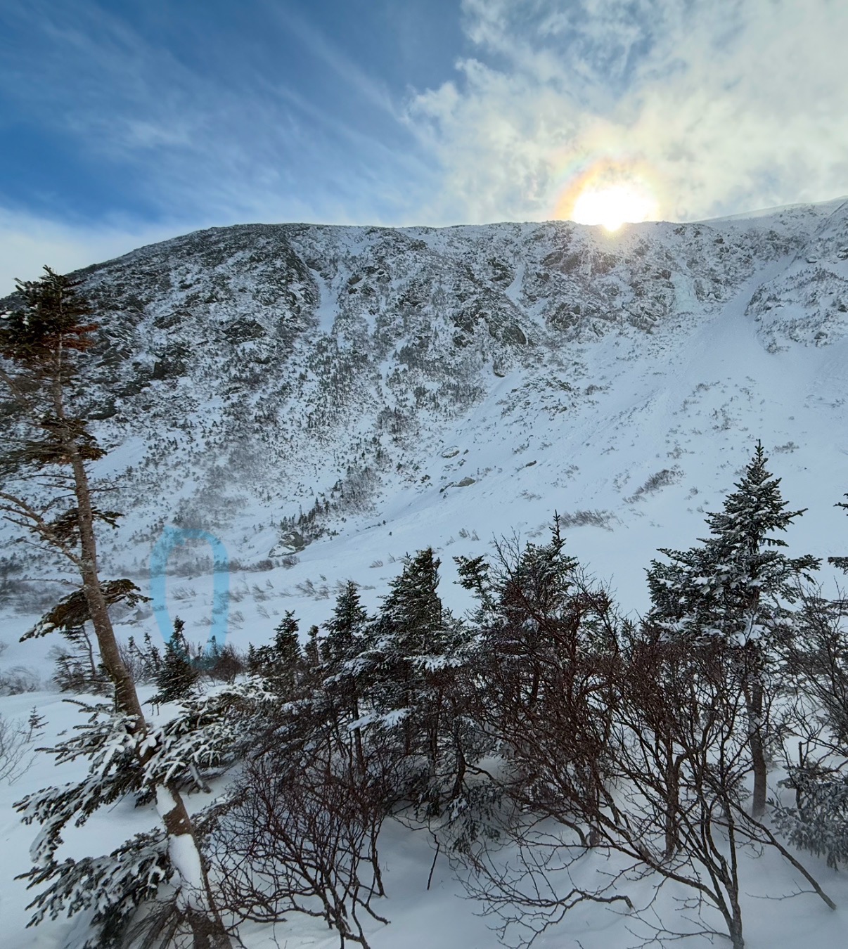
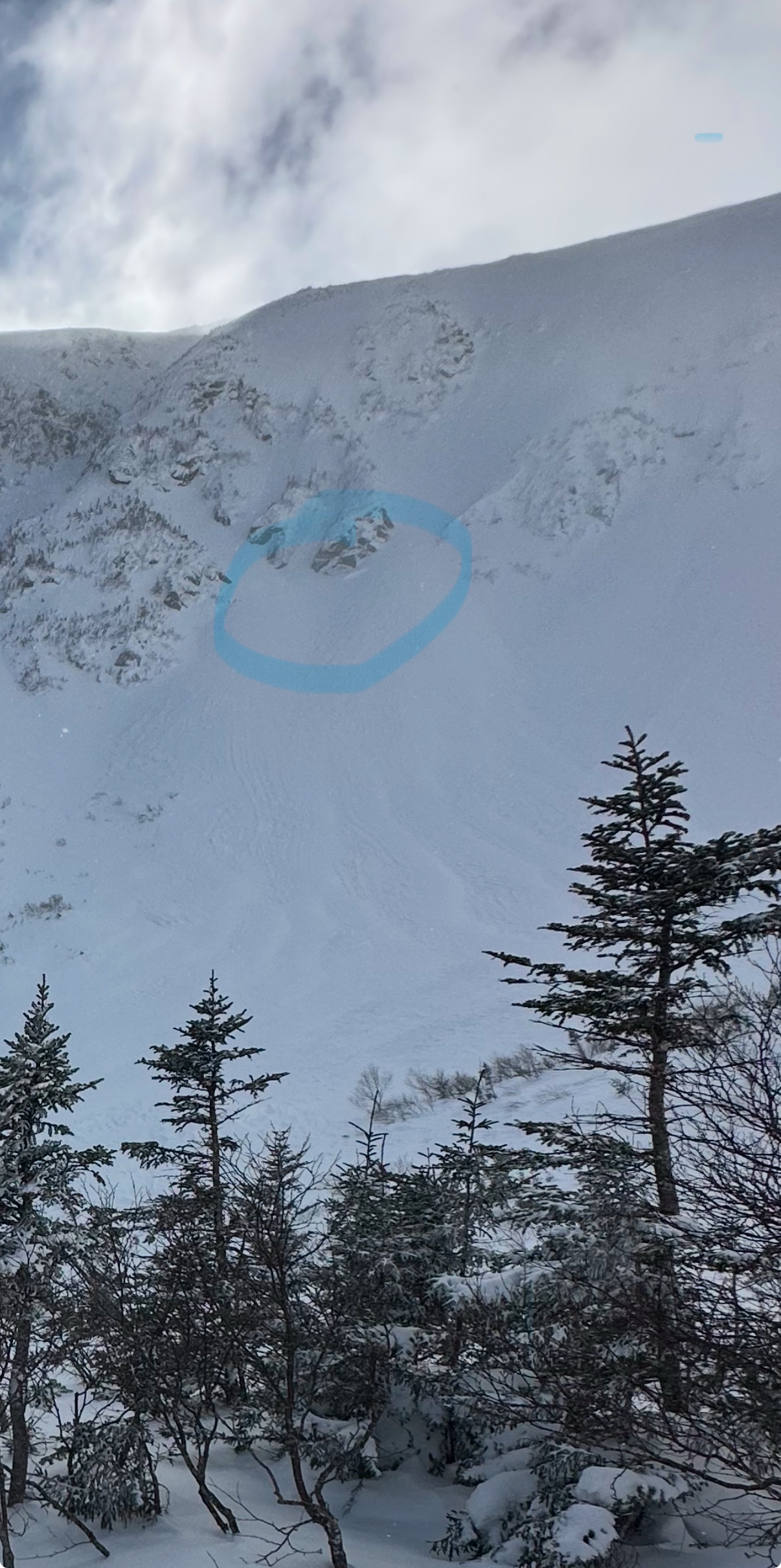
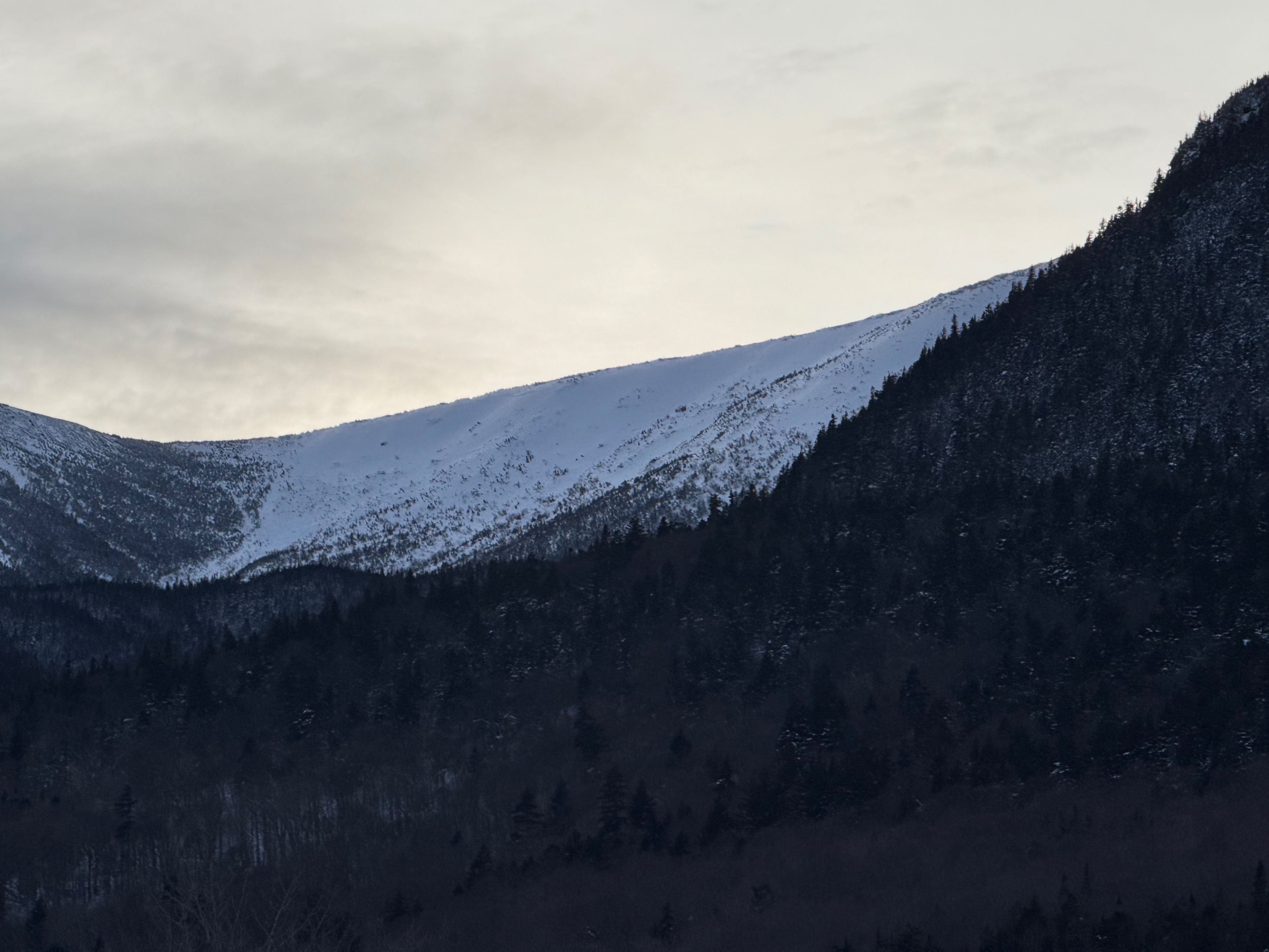
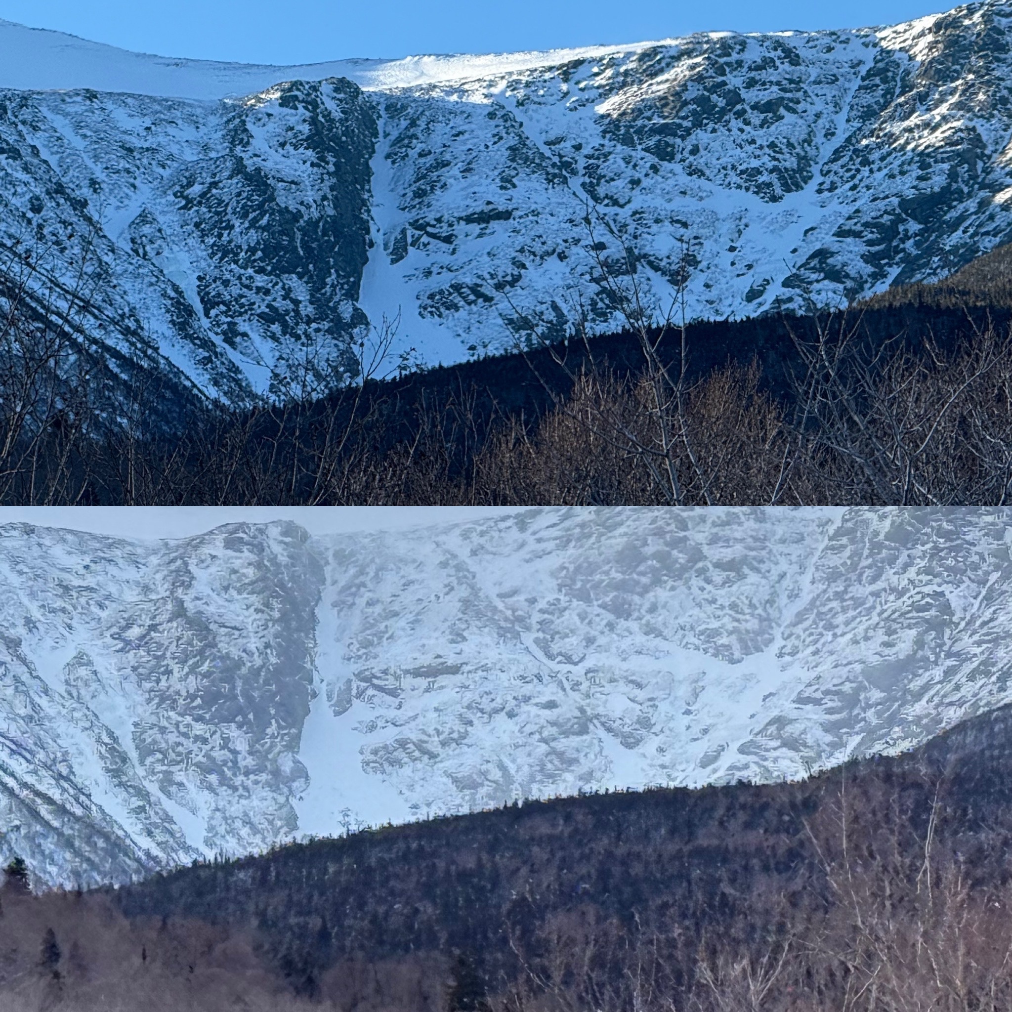
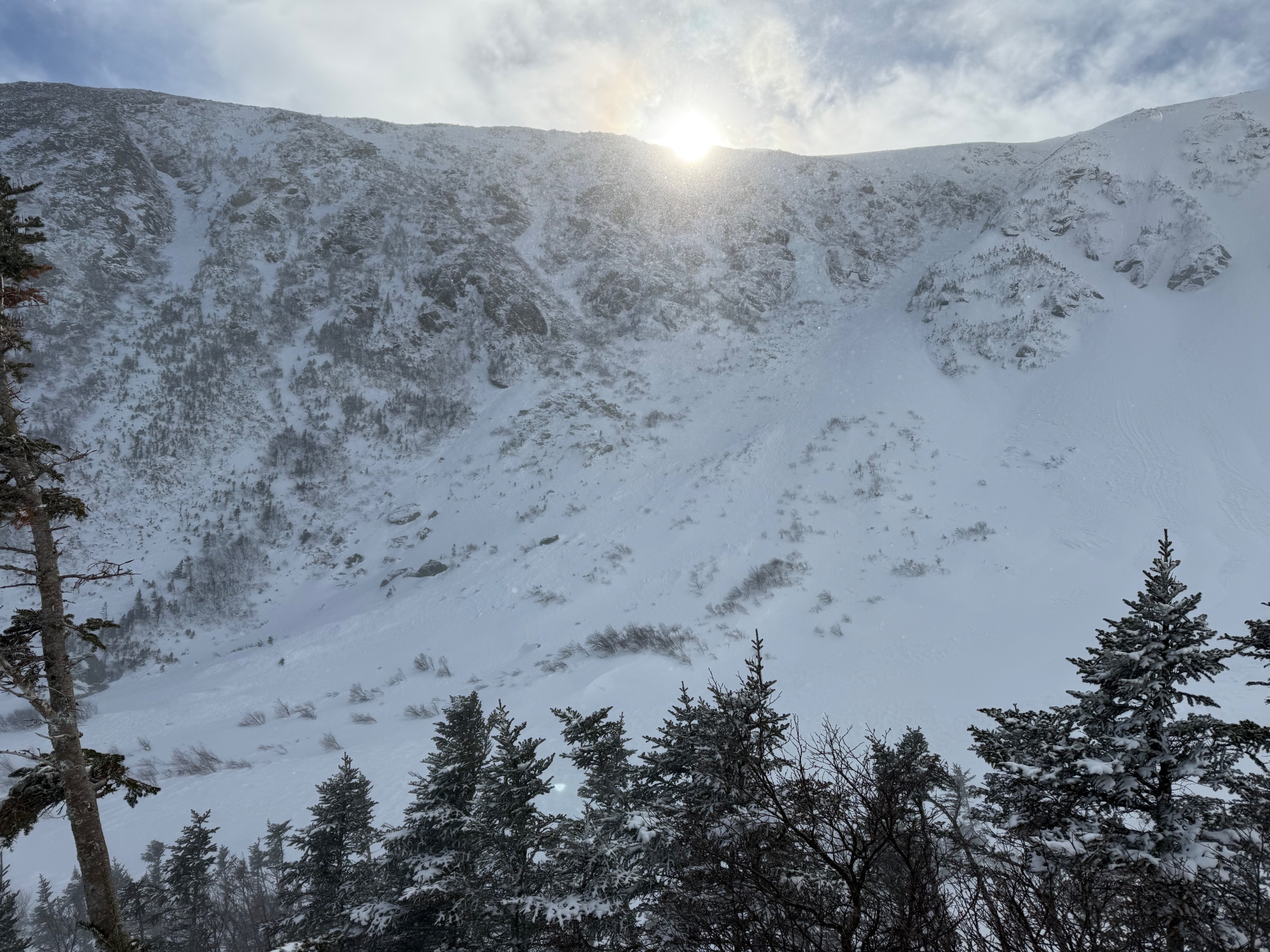
Found evidence of natural avalanche activity in northeast and east aspects in Tuckerman Ravine and Boott Spur
New wind slabs were found to be stubborn and firm with ECTN hard (23, 24, 25) and visually saw evidence of planar, loaded wind slabs in Sluice and the Lip in steep areas.
Deeper in the snowpack found evidence of the persistent weak layer (PWL) with stubborn+++ to unreactive results due to the depth of the layer where we were digging in. In thin spots or softer snow this layer has the potential to be more reactive and thin spots are not something that you can assess from the surface so this is still something to continue thinking about as it would carry incredibly high consequences if you were to trigger it. This is still a layer we are tracking and we would love to see any observations if you are finding it (also not finding it is incredibly valuable!) where you are finding it (aspect, elevation, depth) , and what sensitivity it may have.
evidence of natural avalanche activity in northeast and east aspects in Tuckerman Ravine and on Boott Spur (Left Gully, Chute, Center Headwall, Hillman's Highway)Weather
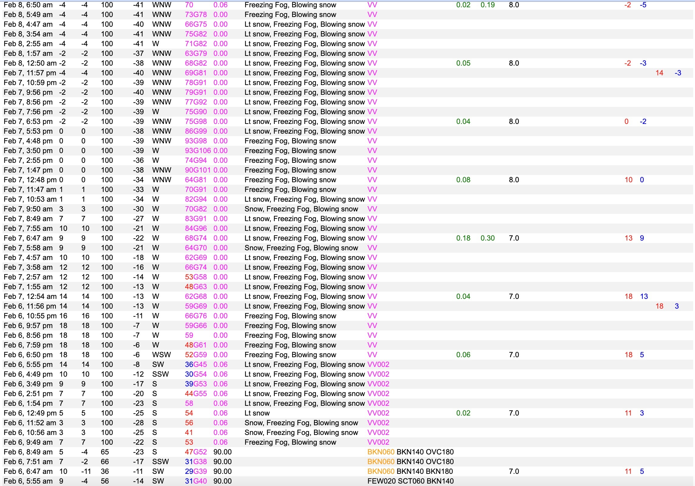
- Air Temp
- 10
- Cloud Cover
- broken
- Wind Loading
- previous
- Recent Snowfall
- 10
- Snow Avail For Transport
- none
Snowpack
What a difference a day and continued wind can make!
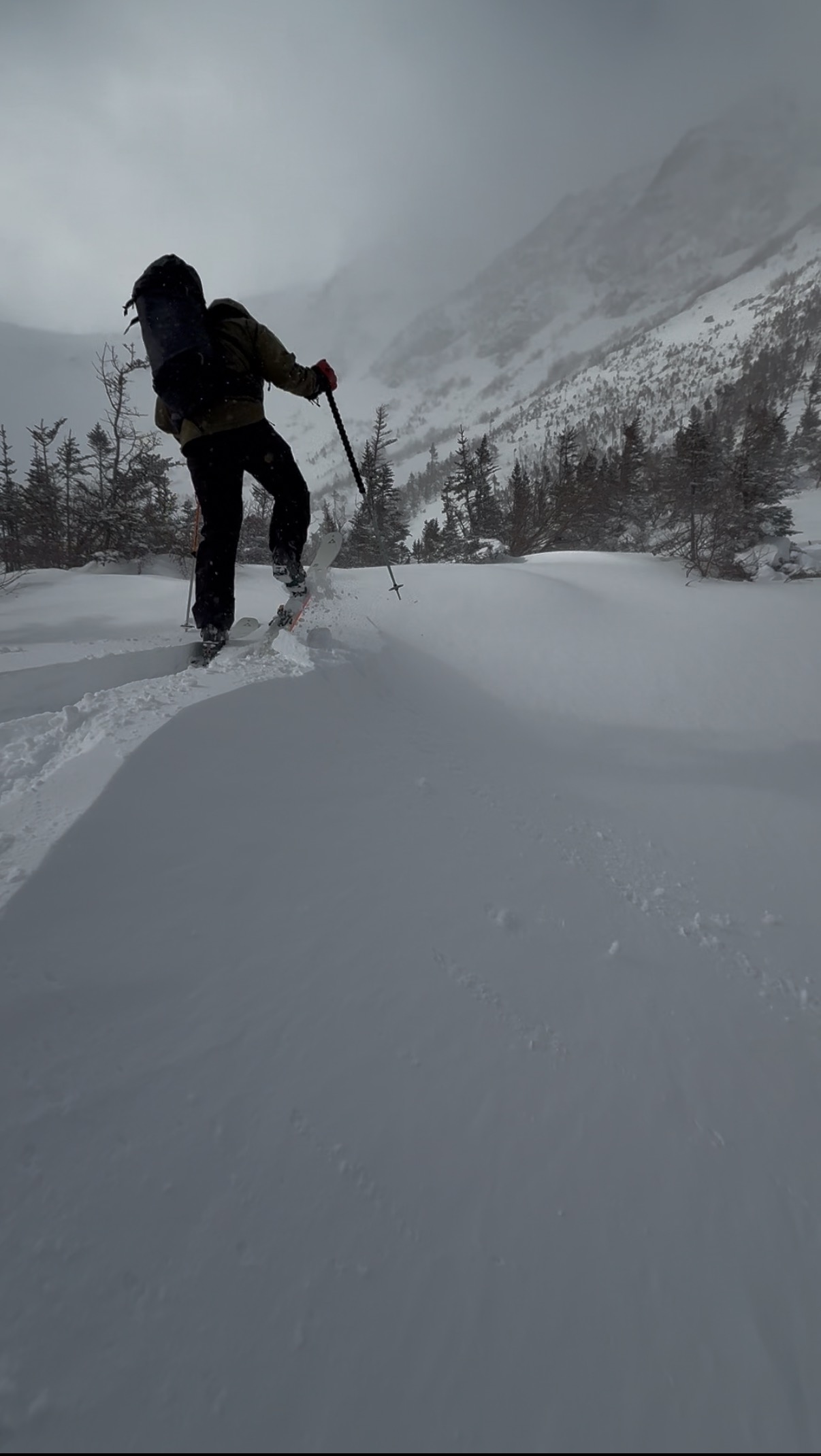
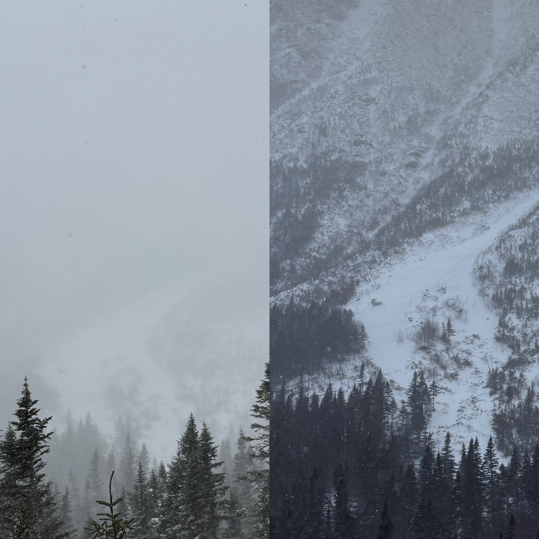
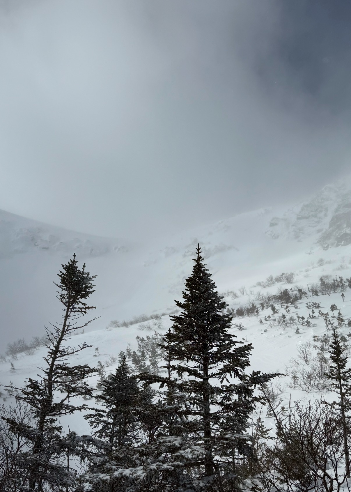
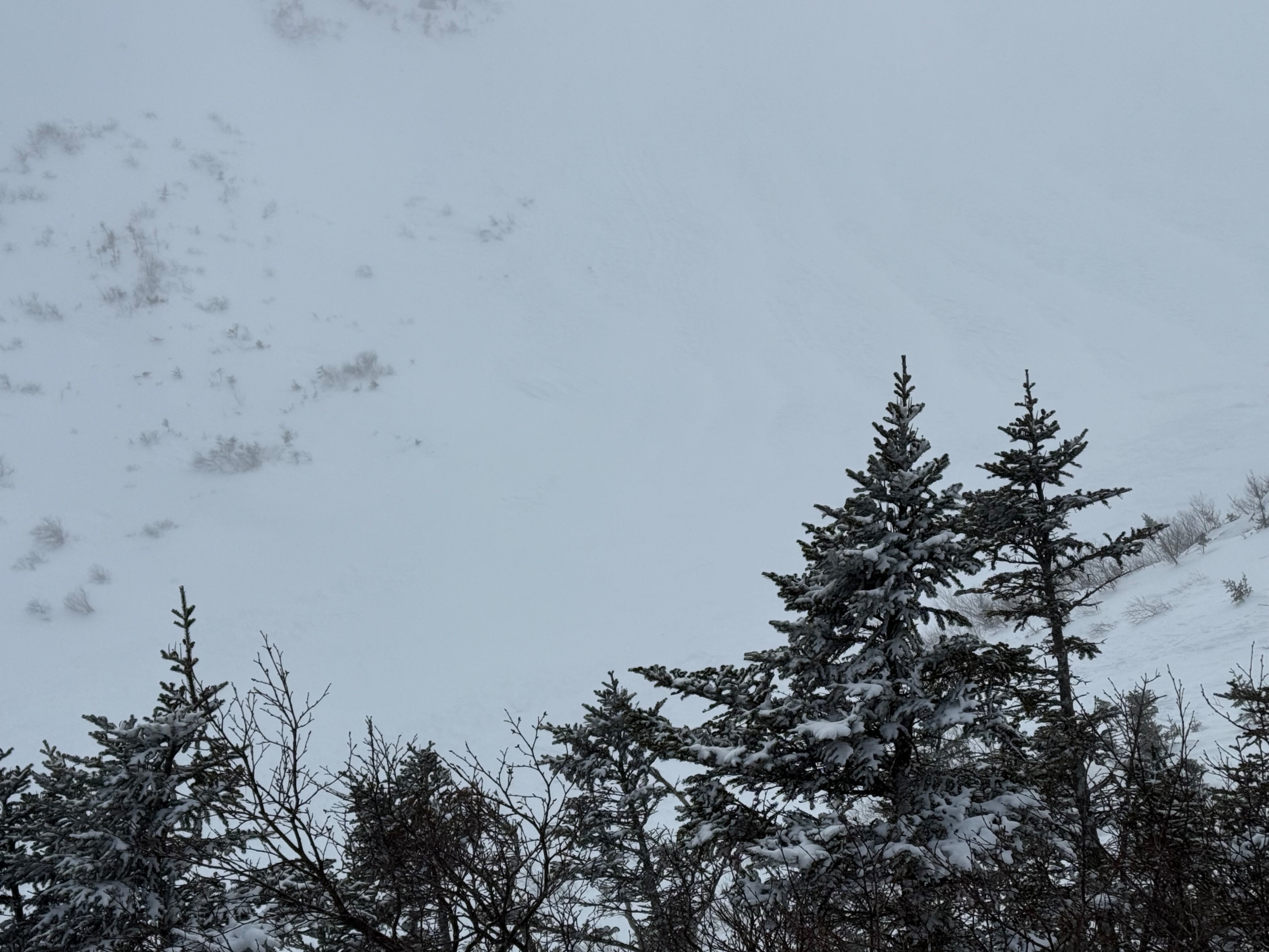
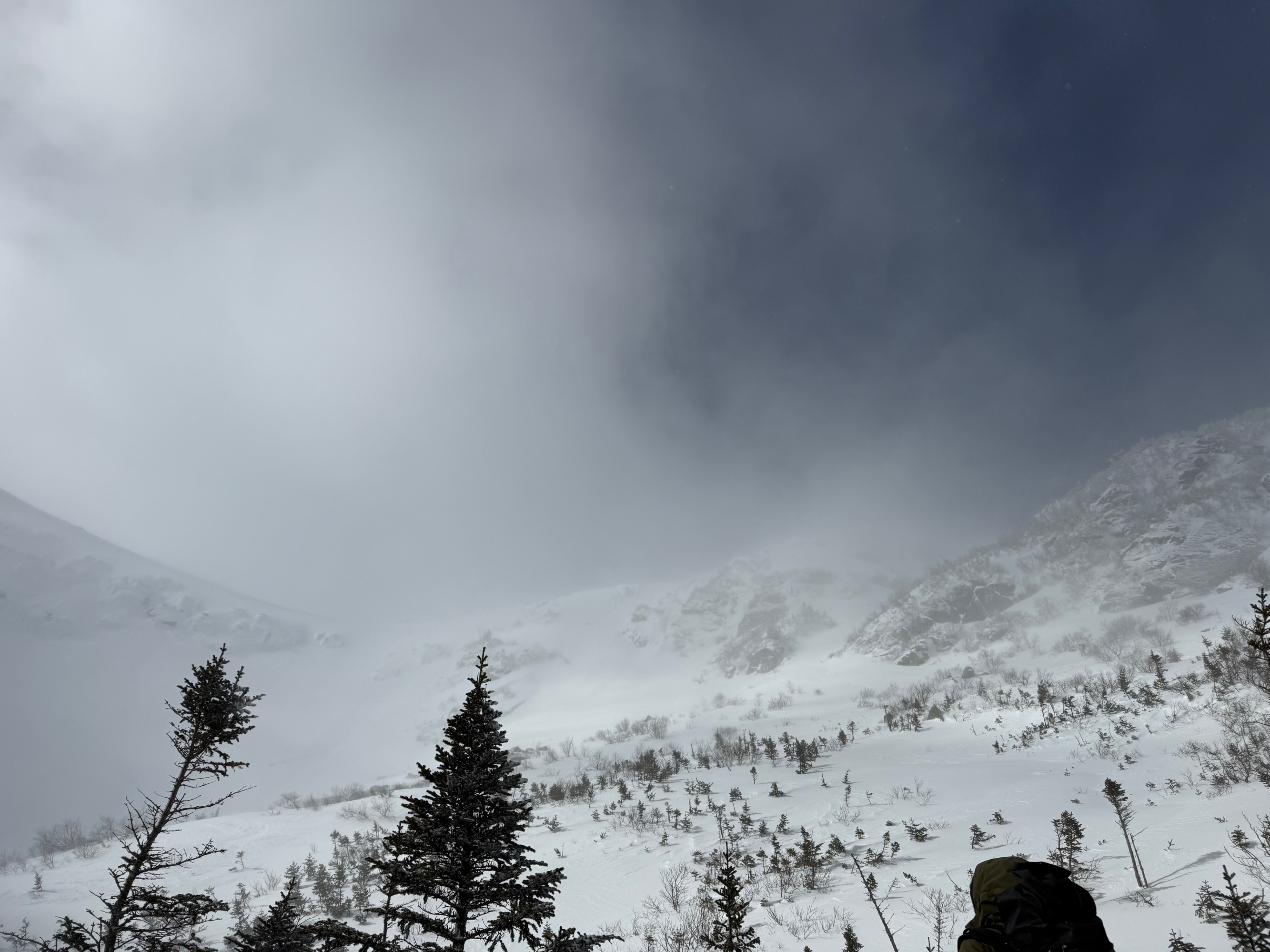
We found very different conditions along the Tuckerman Ravine Trail into the ravine on Saturday 2/8 versus the limited information we could gather on Friday 2/7. On Friday, we were moving through knee and waist-deep snow that was hard to discern layers in beyond very subtle hardness changes. Found no cracking, but witnessed intense snow transport that we surmised was actively loading. Felt that there was the potential of natural avalanches that had either happened and were reloading, or were building larger- but with no visibility and active snow transport was not something we could assess.
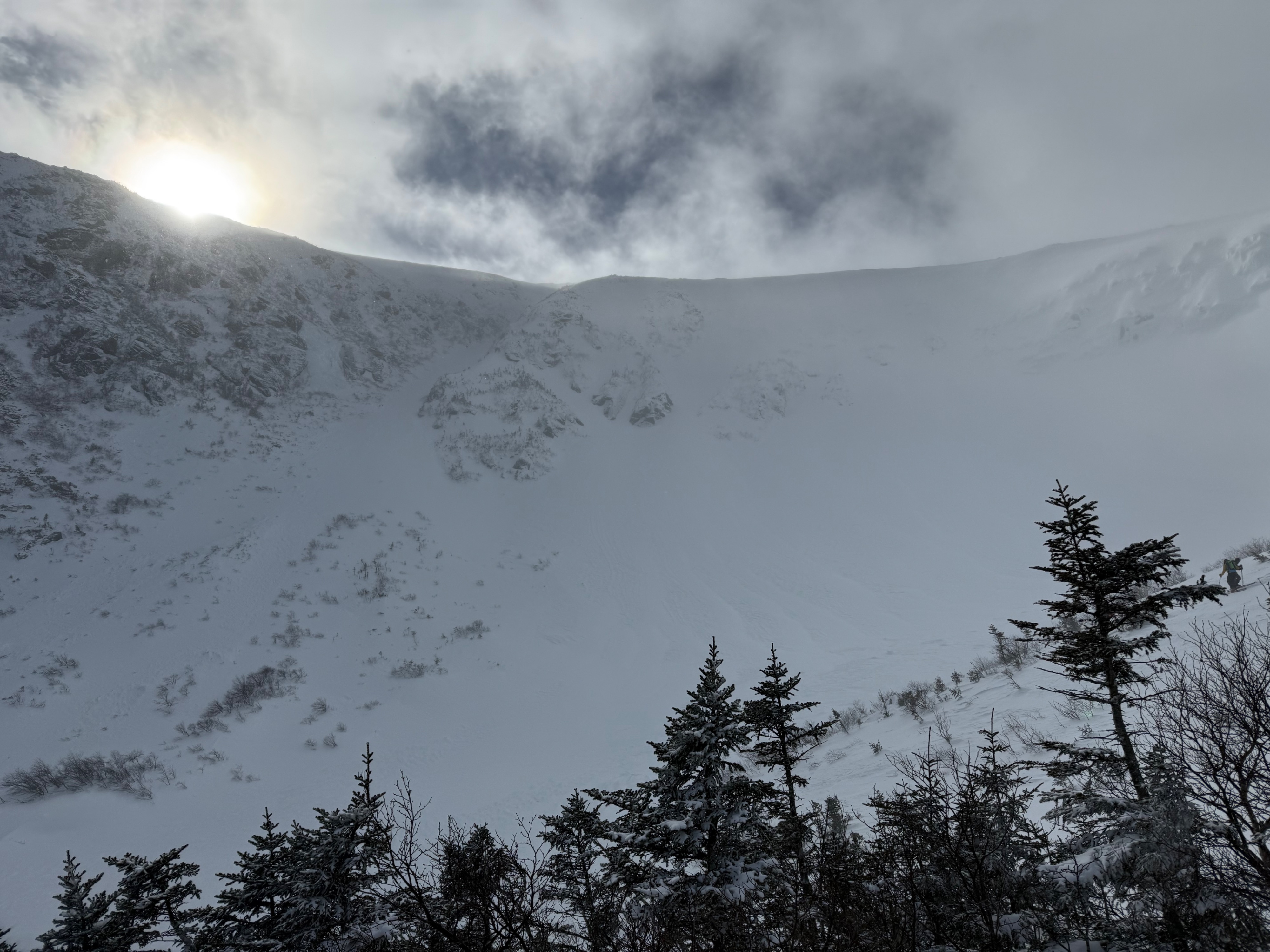
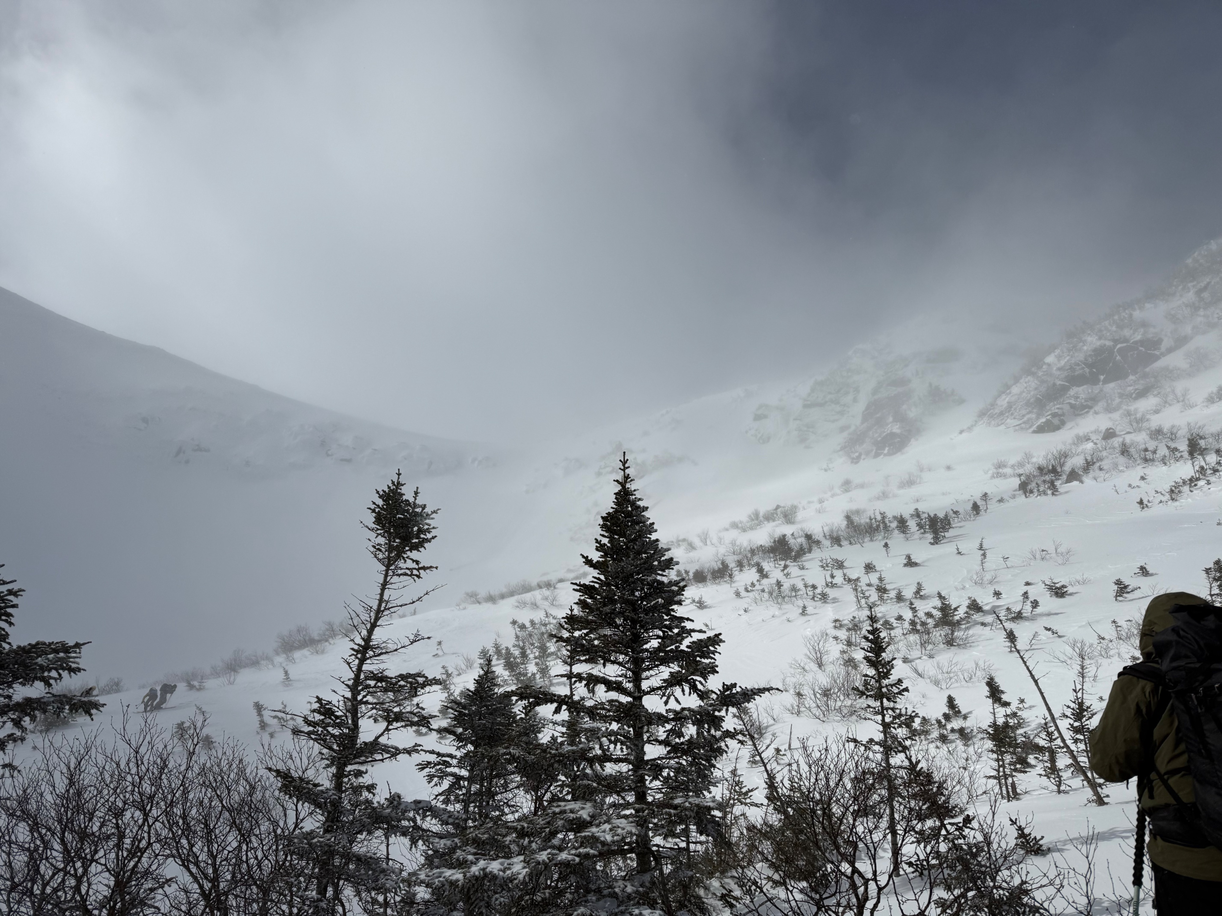
On Saturday, the snow had settled and consolidated, making for firm, supportable surfaces to travel across. With clearing visibility and no active snow transport, we moved into terrain skinning onto a high feature to be out of runouts as we did not yet have visibility to assess the terrain. As clearing began, we observed debris across the ravine floor from Chute and Center Headwall, as well as debris from Left Gully. Visually assessing terrain the Lip and Sluice looked smooth, planar, and loaded with potentially stubborn wind slabs. Moving around we found a sheltered drift with softer snow and tried to see if we found any reactivity or instability in this, no cracking or reactivity was observed skinning across or jumping on this layer. A hand sheer broke as it was really just unconsolidated, saltated, wind-affected snow. This drift was in a highly wind-protected and the structure was pretty isolated compared with other snow we observed.
We traveled between Lobster Claw and Right and using ski poles to probe found various layers in the snowpack that we decided to investigate more fully. Selecting 3 pits on south-facing terrain we found a generally similar snowpack structure with stubborn to unreactive results.
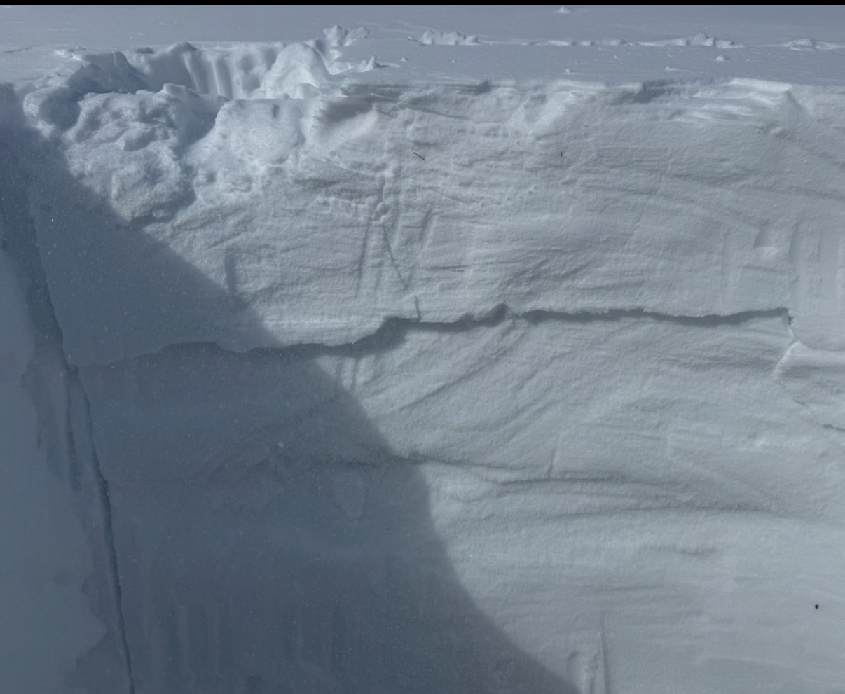
Found ECTN H (23,25,24) in the midpack wind slab (30 cm down) supporting stubborn wind slabs.
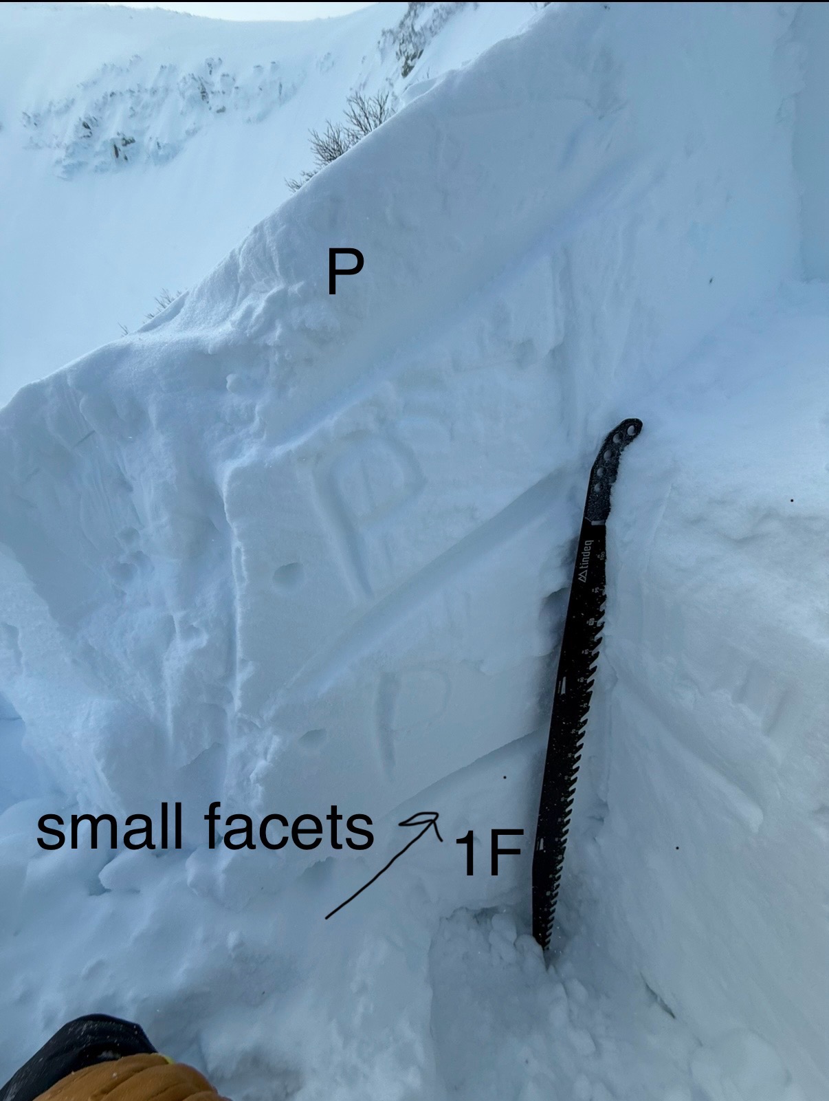
Deeper in the snowpack, found two persistent weak layers. Digging to the ground in one pit found facets, but there were also small bushes in this part of the pit, likely adding to the development of these (did not have any results on this layer, and removing the ECT block was not a clean fracture on this layer and while not an official test does give some pertinent information). Just less than a meter in the snowpack was a disintegrating melt-freeze crust that had small faceted grains above it. ECTs did not have any results on this layer, (though removing the ECT had a clean connected fracture) and in one of the pits we elected to do a PST and found 80/End- which is an unreactive or stubborn +++ result. This supports that this structure still exists in the snowpack, but in some areas, it may be getting deeper to the point that it is not reactive to human triggers, however in thin spots this structure has been previously found to be more sensitive and this layer does have the potential to be connected if you were unlucky enough to encounter a thin spot. Another consideration was the pit we did our PST in had the firmest snowpack structure of various pencil-hard wind slabs, while another pit was pencil minus, the slightly softer structure may also have increased sensitivity.
Avalanche
- Size
- D2.5 R4
- Type
- HS
- Count
- 4
- Aspect
- NE
- Trigger
- N
- Elevation
- 5007 ft
not sure if these cycled on the 6th or 7th (went with the 6th because of the south winds) limited evidence from crowns so these are best assessments from path size and debris. Left seemed to have produced the largest observed avalanche