
Quick report
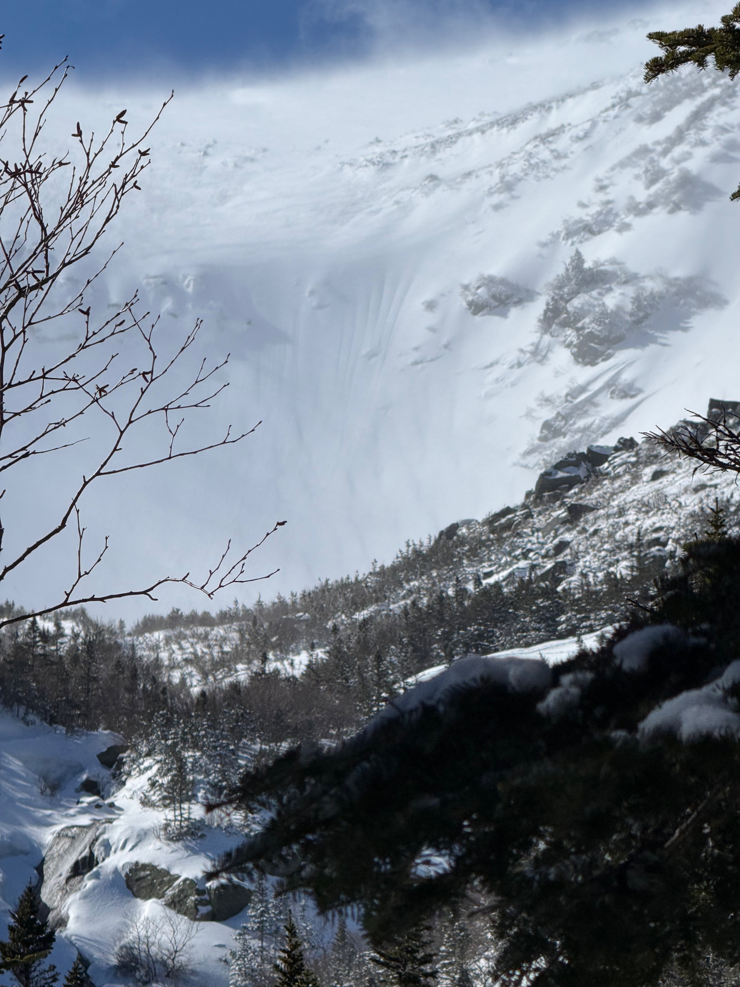
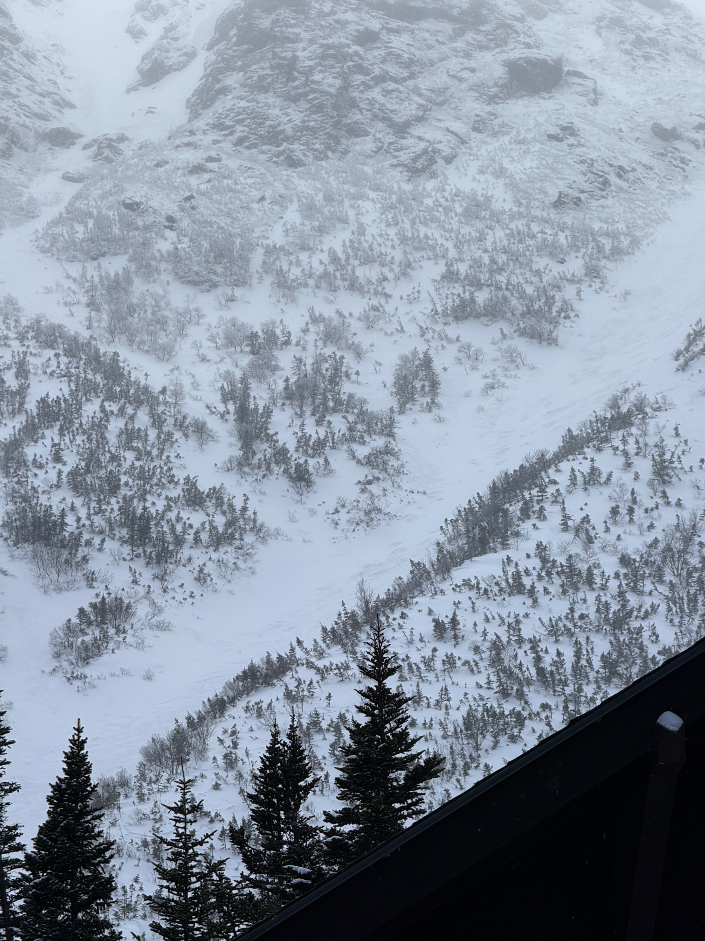
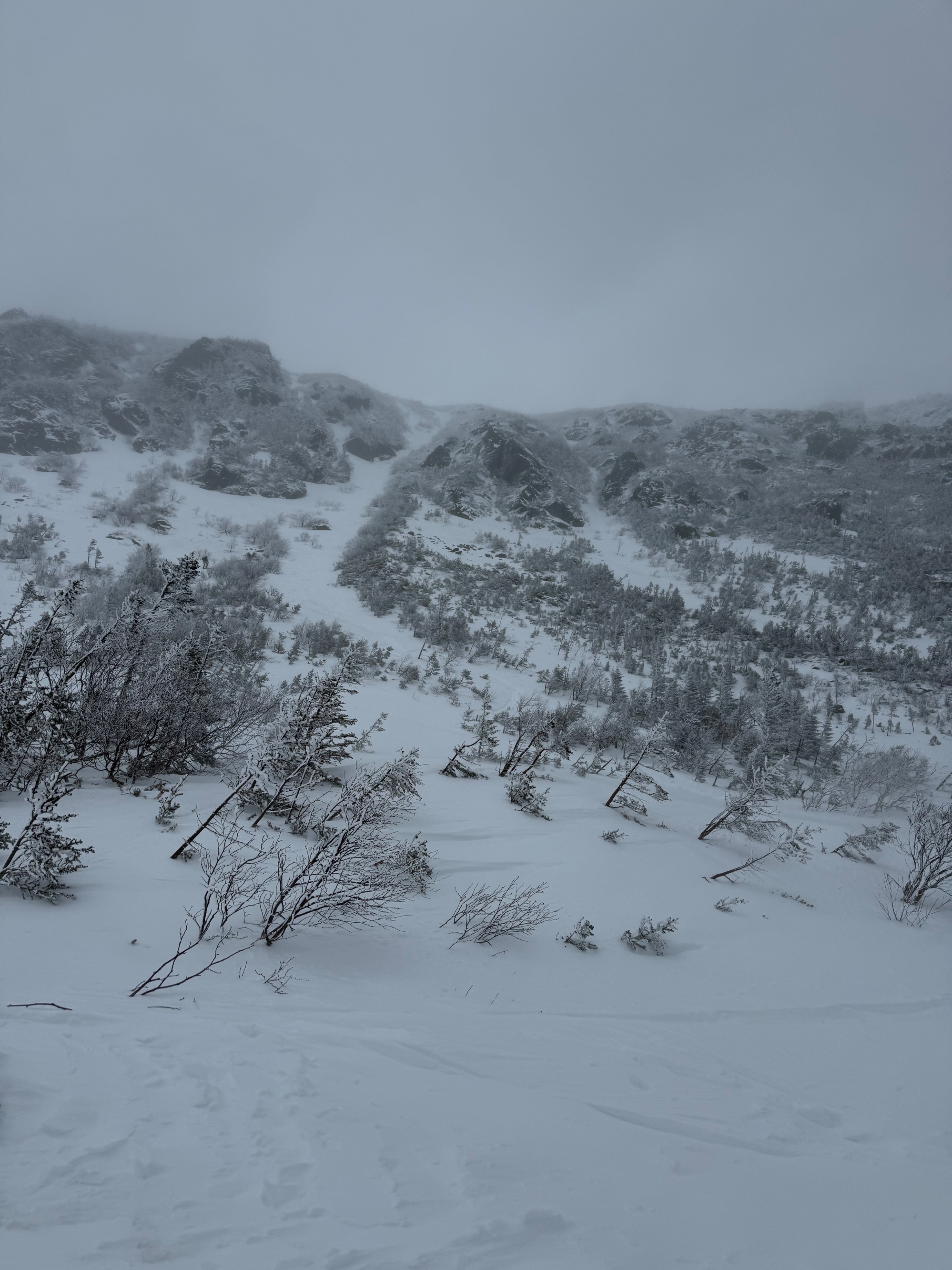
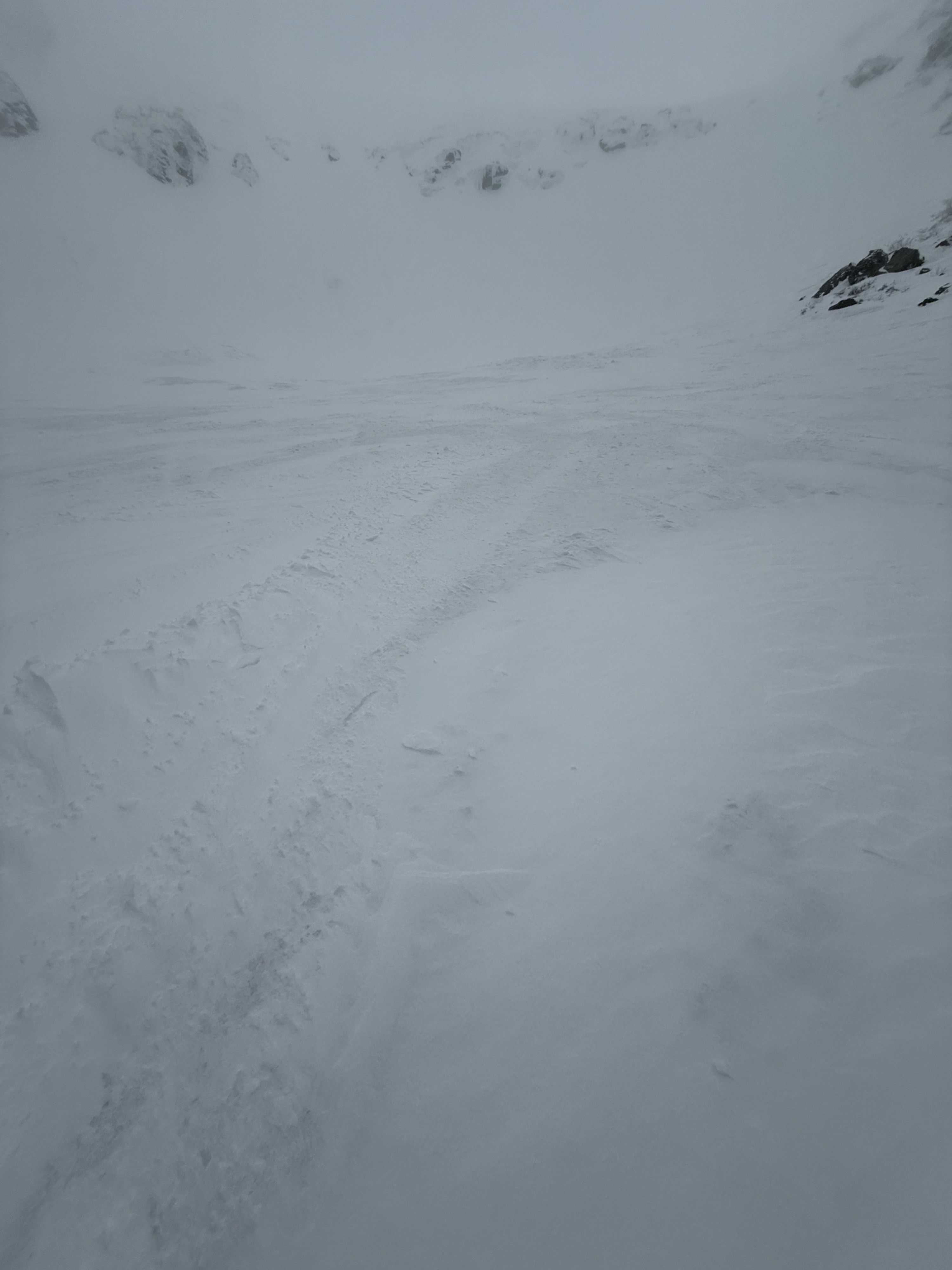
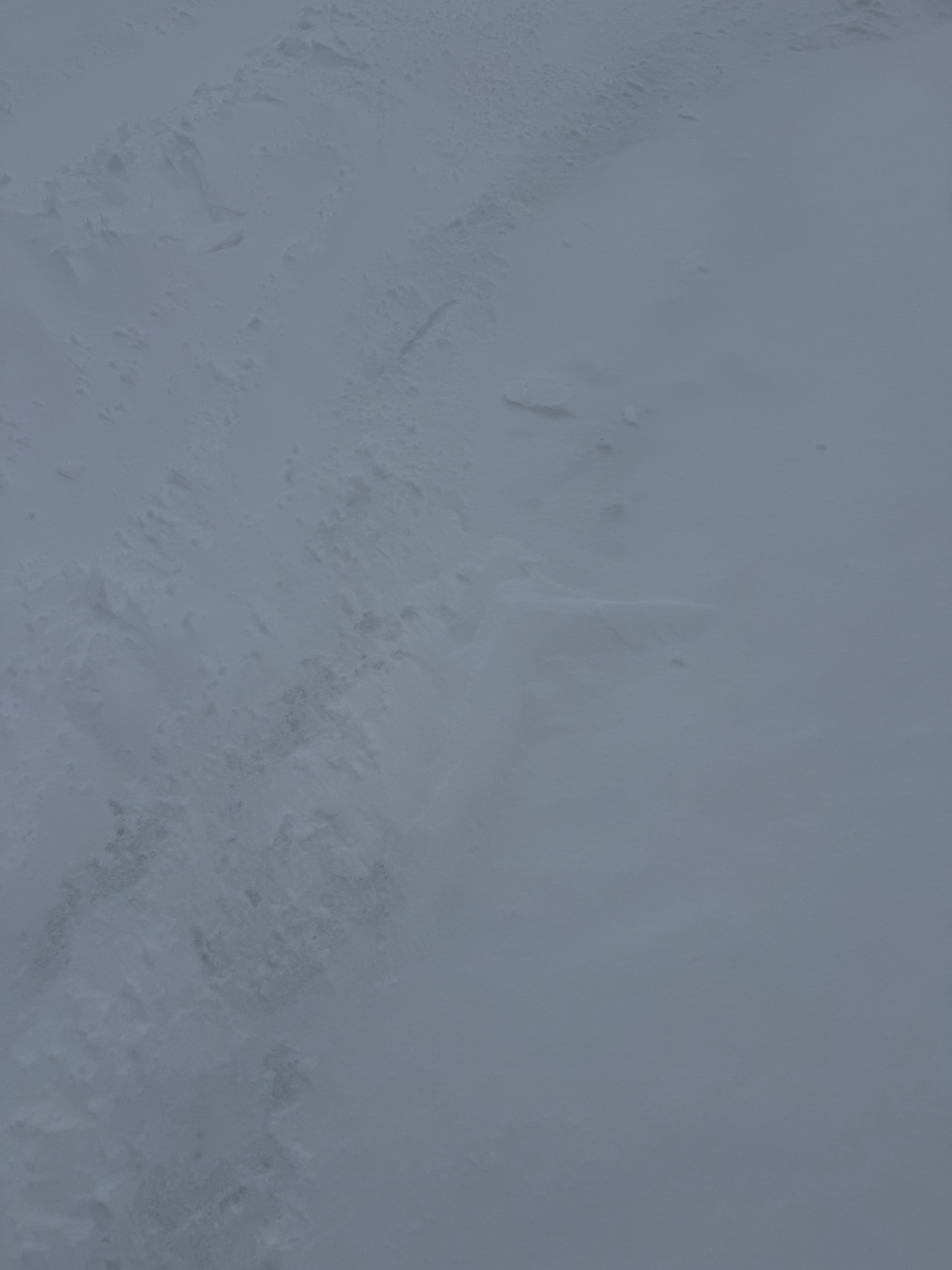
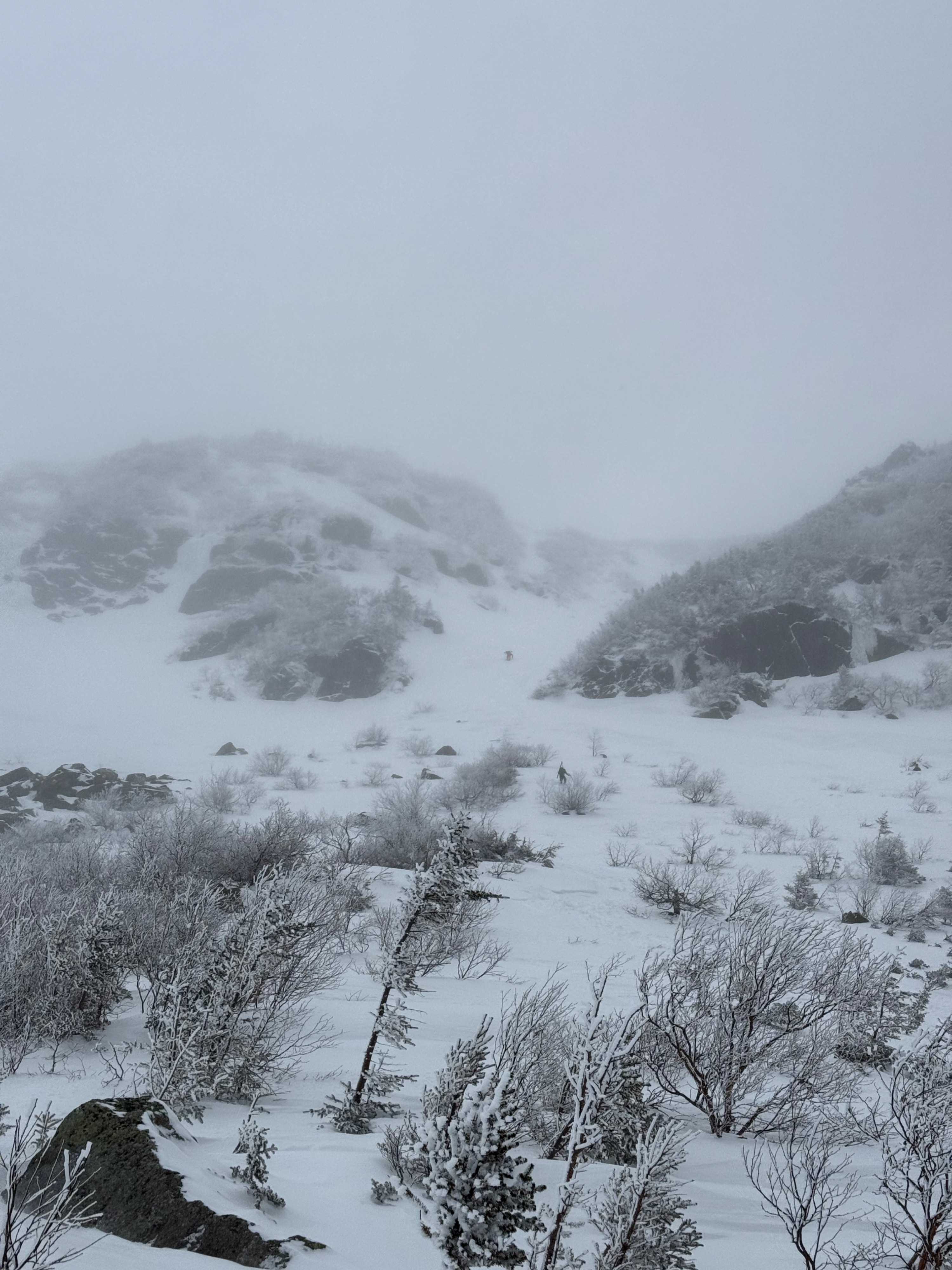
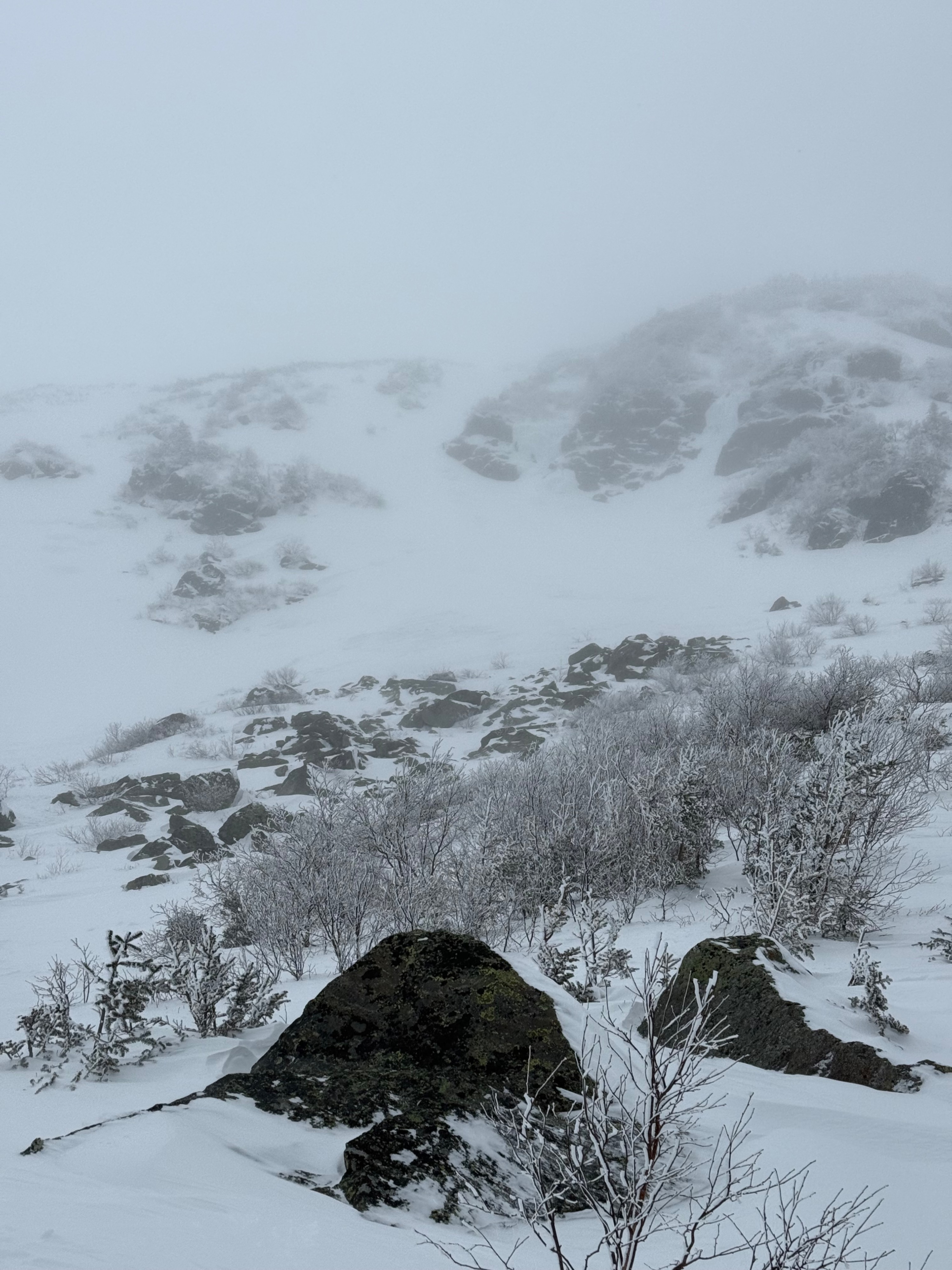
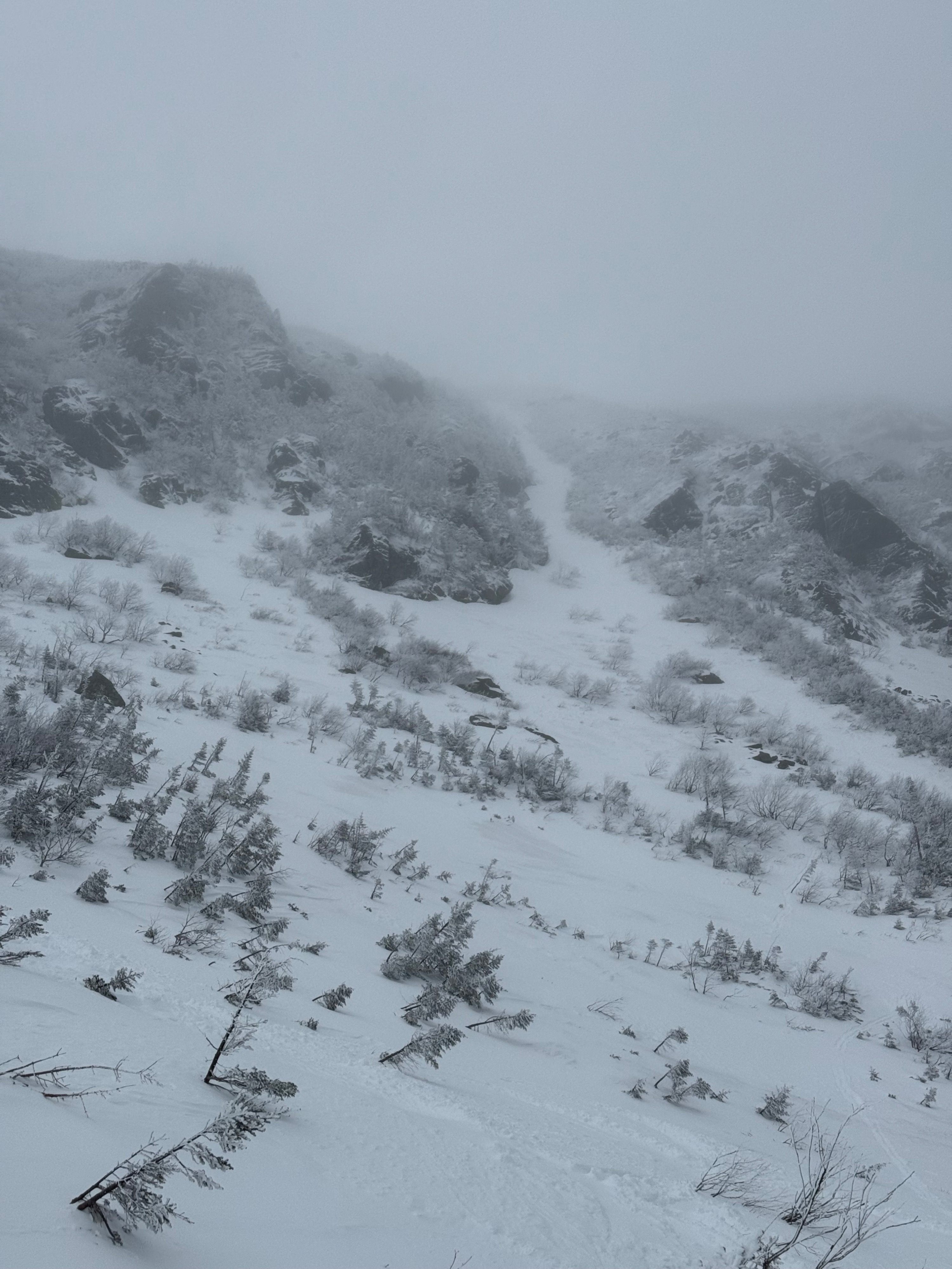
Approximately 4 inches of new snow fell yesterday, forming isolated and inconsistent pockets of wind slab on east aspects above 3000 feet. These slabs were mixed with areas of scoured surfaces, resulting in significant spatial variability. Early in the day, the new snow was dry and not well consolodated, lacking any notable structure aside from varying depths, which ranged from refrozen snow in wind scoured areas to accumulations as deep as 1.5 feet in more sheltered areas.
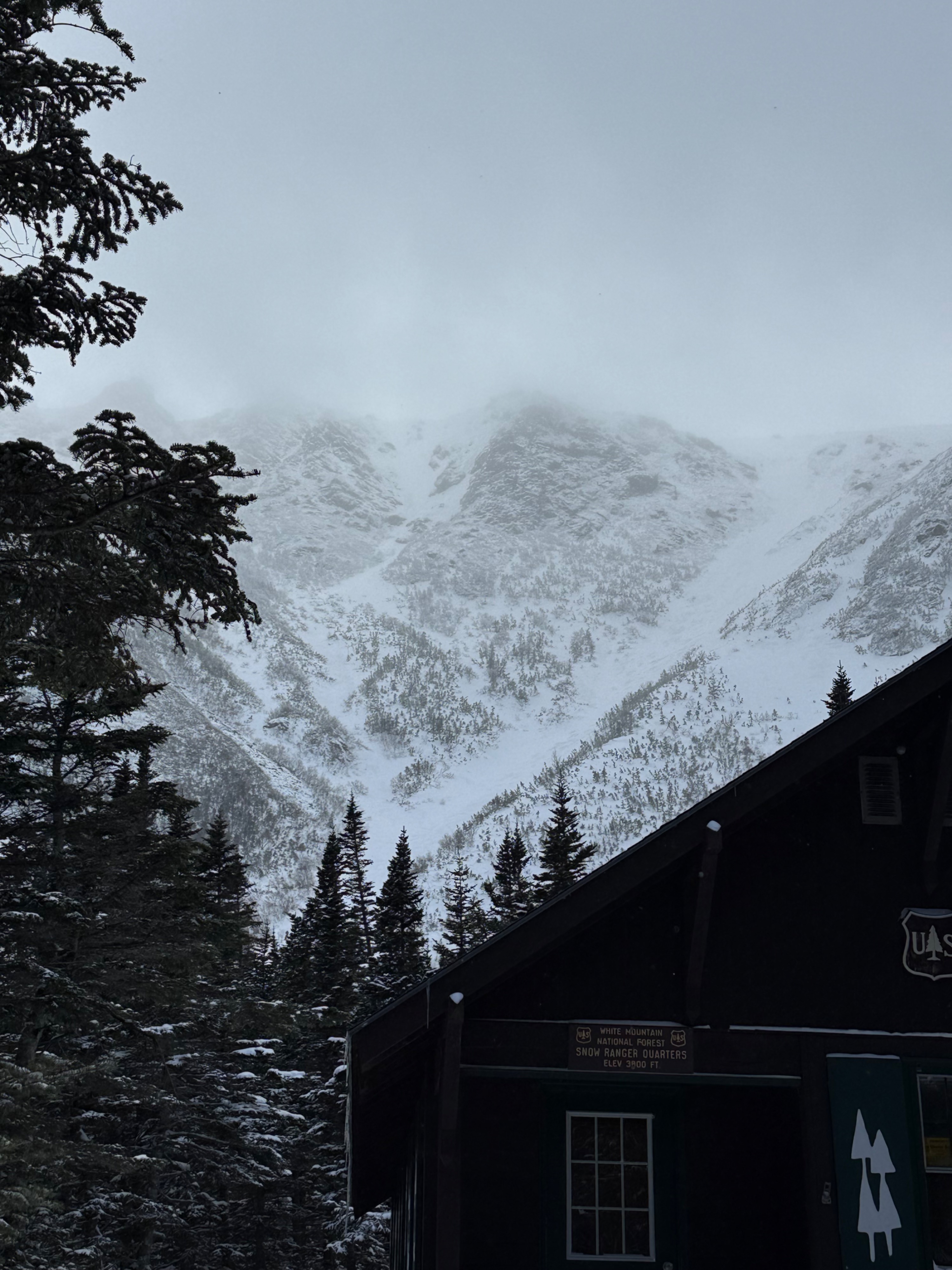
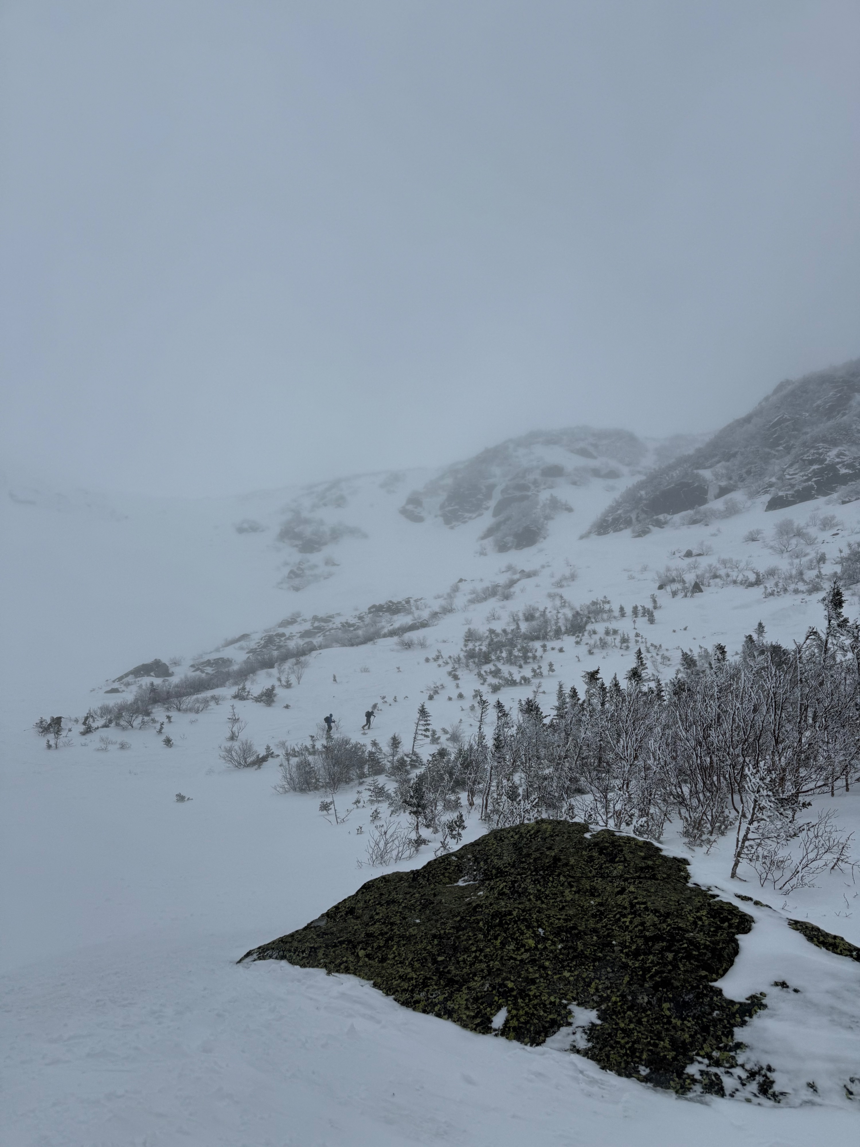
Visibility was initially poor, but we quickly observed the influence of solar radiation on the snow surface. As the day progressed, surface wetting and consolidation became evident. While traveling through the terrain, we did not encounter any red flags indicative of instability and the structure appeared to be quickly becoming more stable.
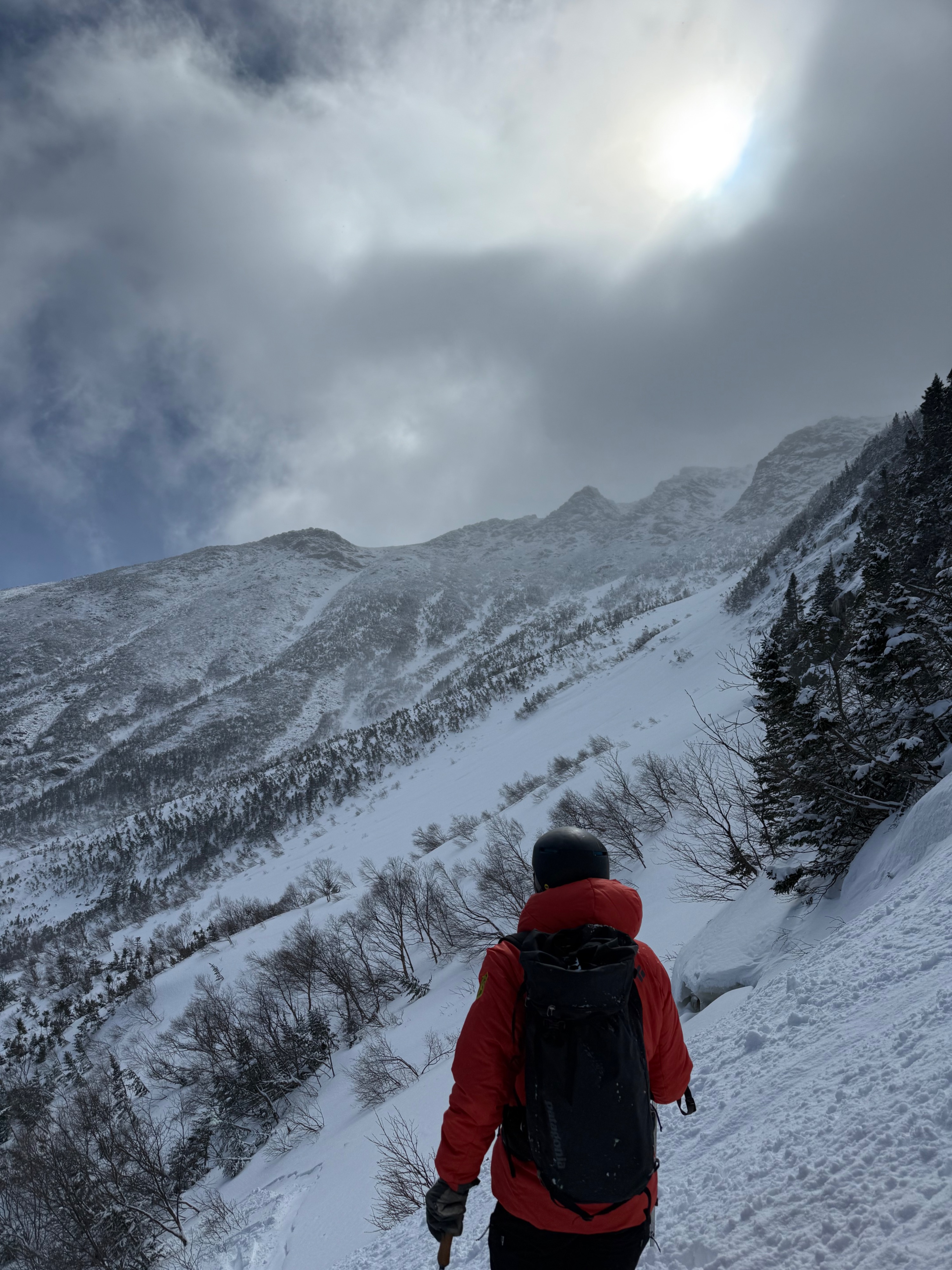
By the end of our time in the field, the effects of solar radiation had deepened, with moist snow extending several inches below the surface due to continued warming and settlement. As we exited the terrain, skies cleared further, and direct sunshine contributed to additional surface warming and consolidation.
No signs of red flags.Weather
- Air Temp
- 24
- Cloud Cover
- obscured
- Wind Loading
- light
- Recent Snowfall
- 10
Skies were heavily obscured early in the day, resulting in very poor visibility. As the morning progressed, the greenhouse effect became evident. Conditions improved with clearing skies in the afternoon. Winds were light, under 15 mph.