
Quick report
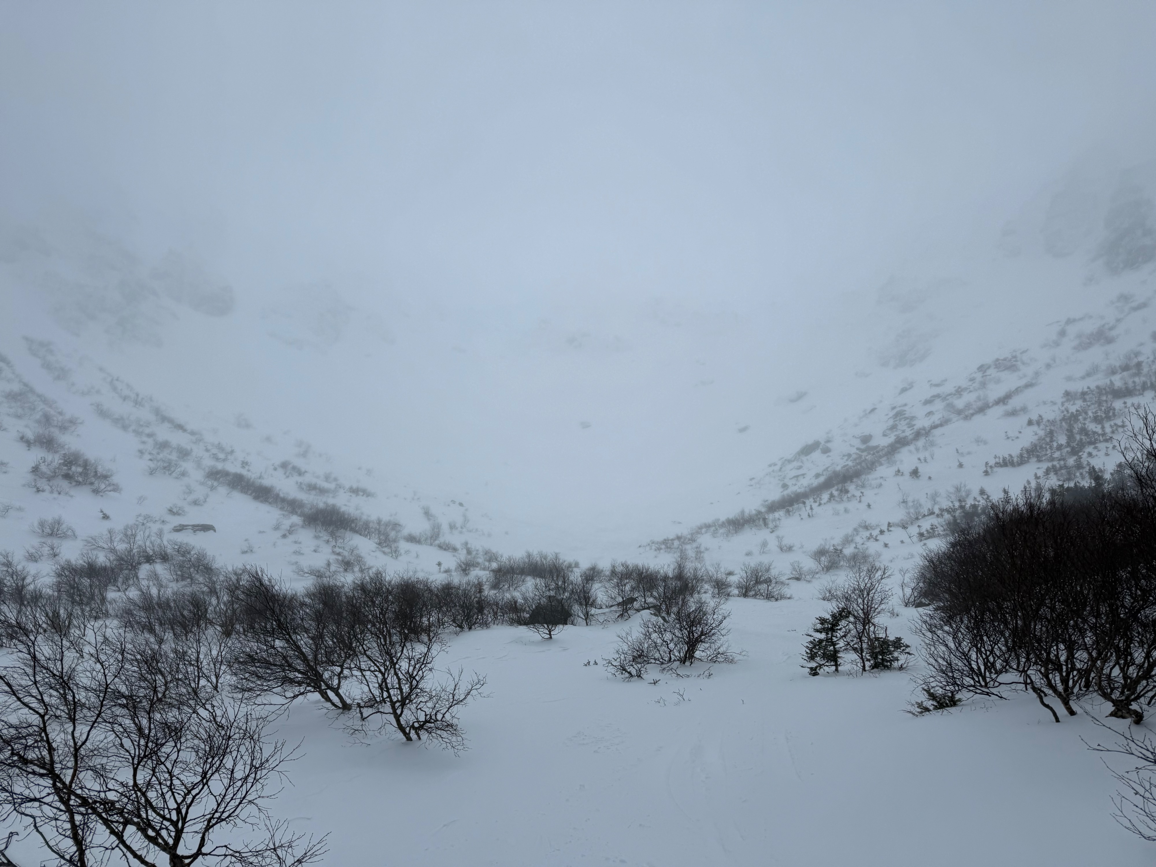
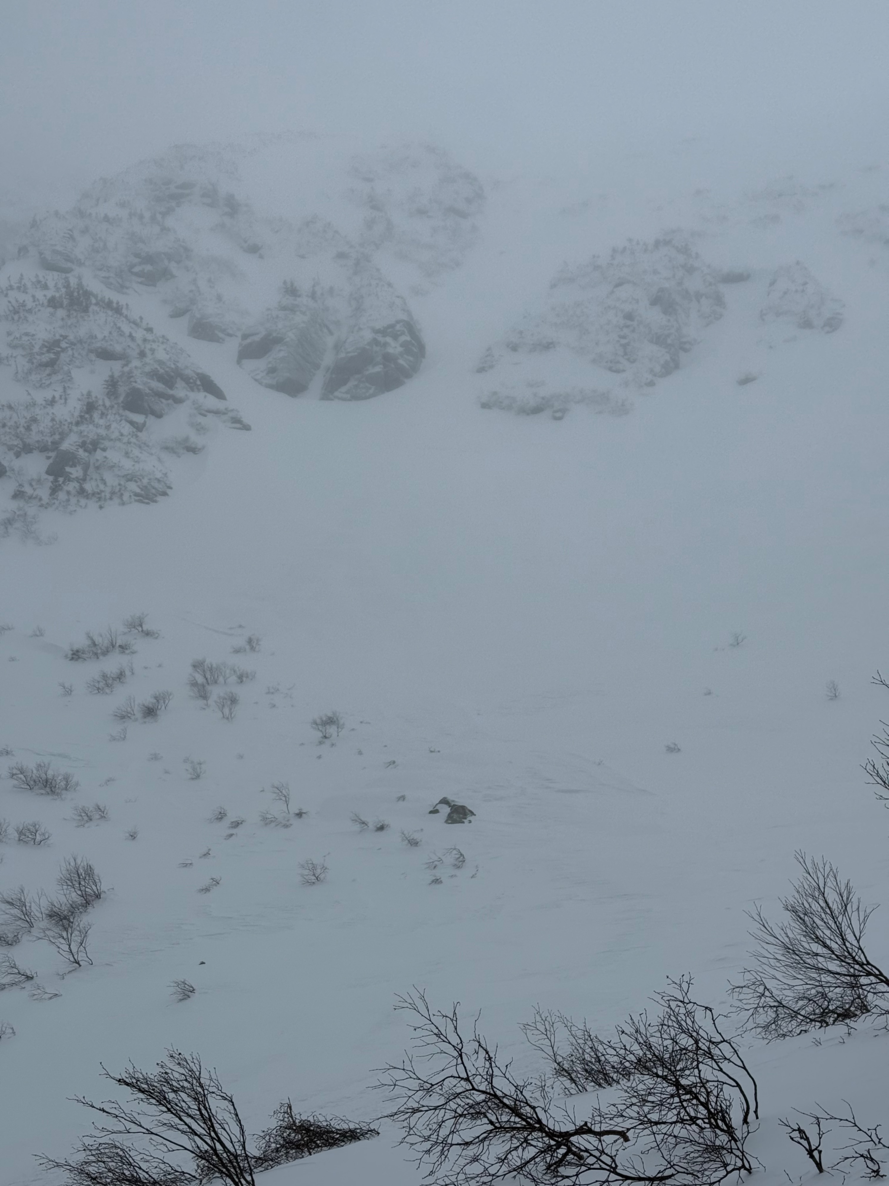
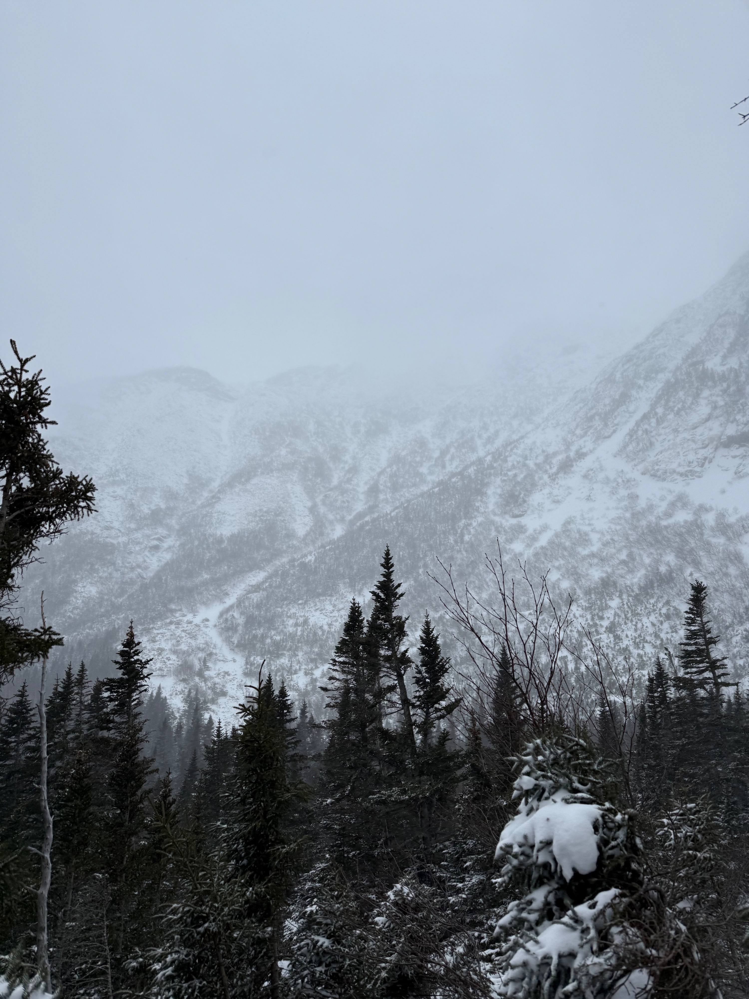
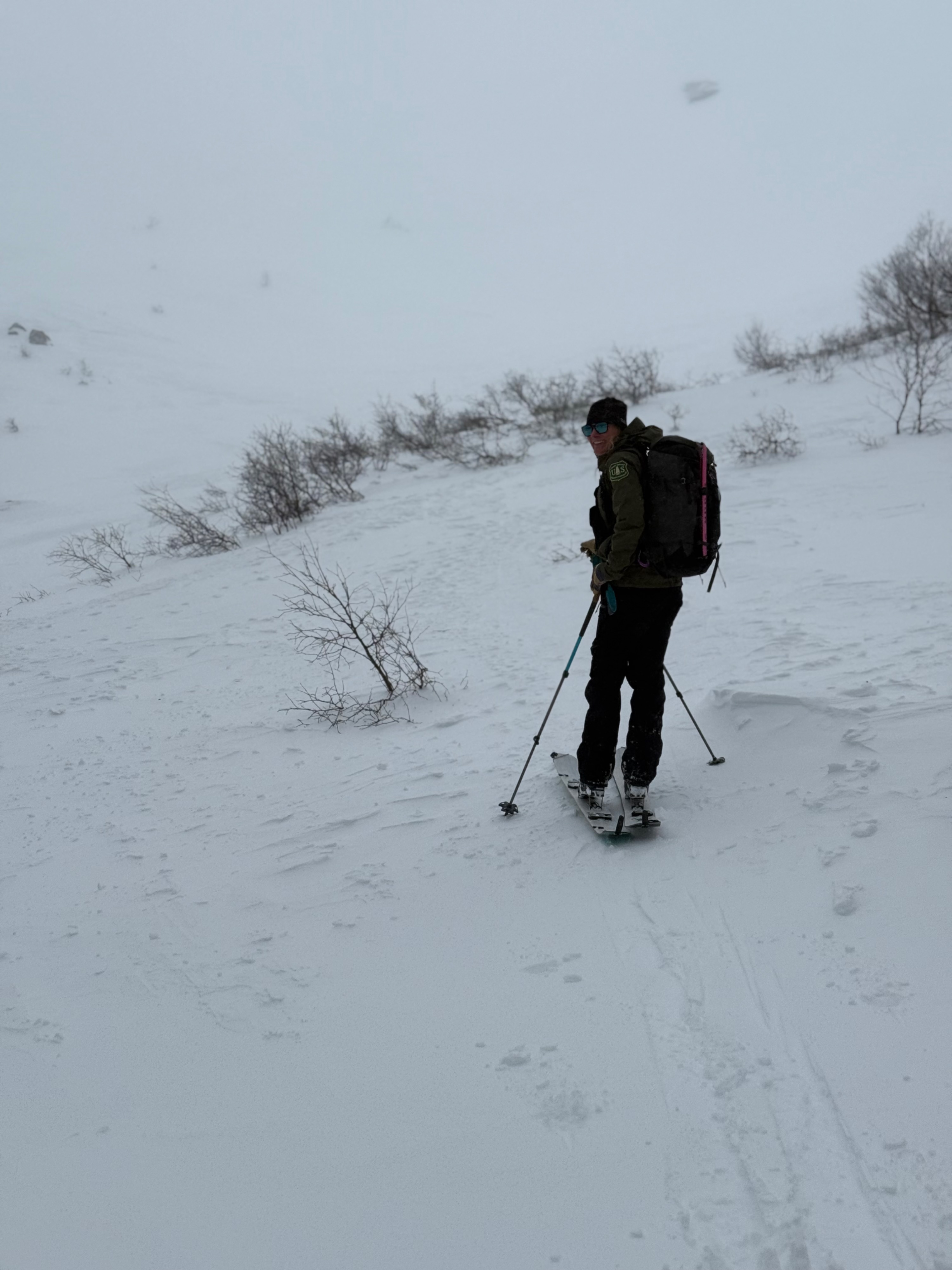
Taking advantage of more visibility than we expected around 9:30 AM, we toured into Tuckerman Ravine to assess the impact of the new snow and SW wind that were forecast to shift west at around 11 AM. Overall we encountered weather that was slightly different from our expectations. Less wind and less snow is a functional summary of the morning, but we watched this change in the afternoon as winds and snowfall increased.
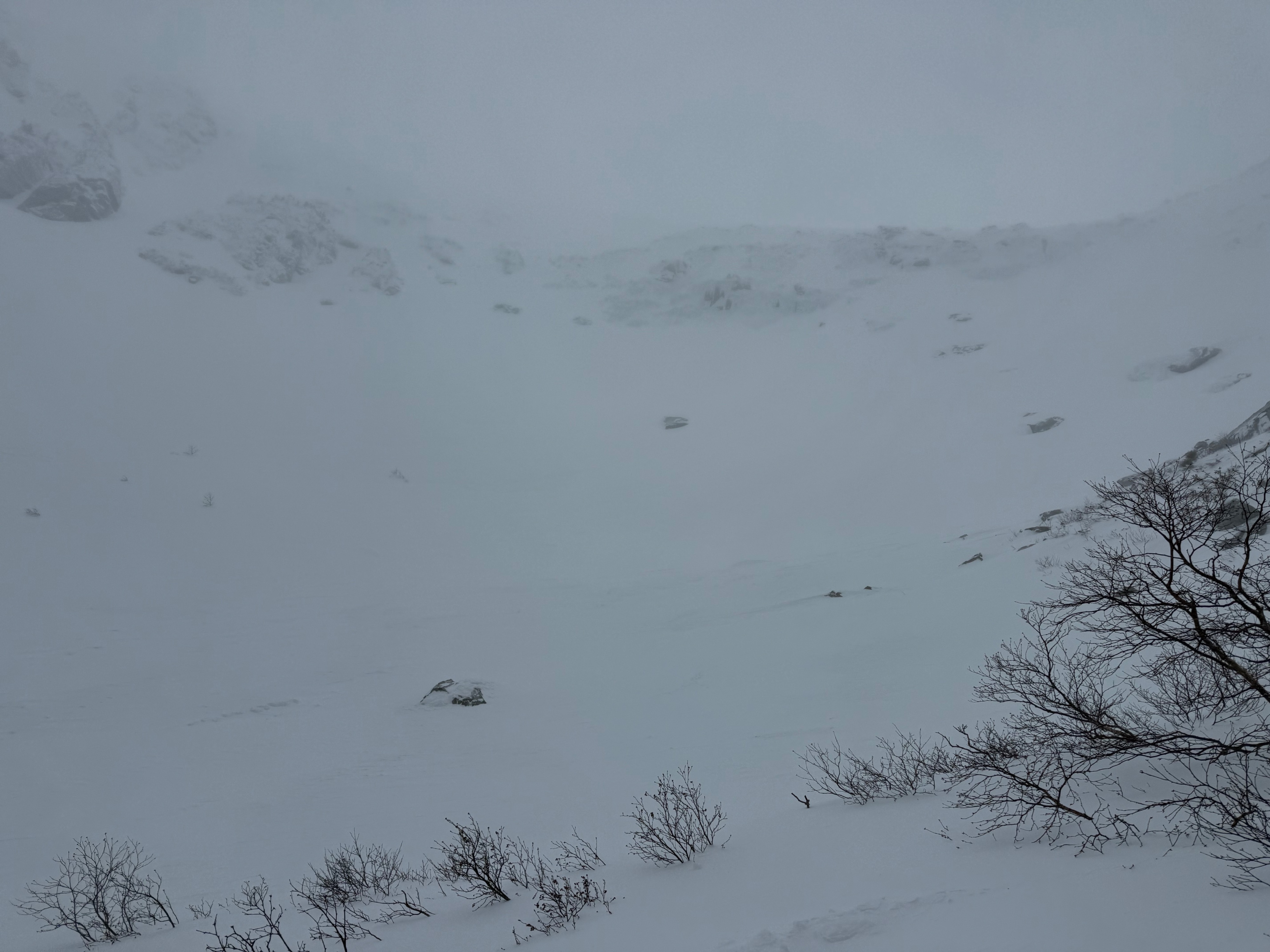
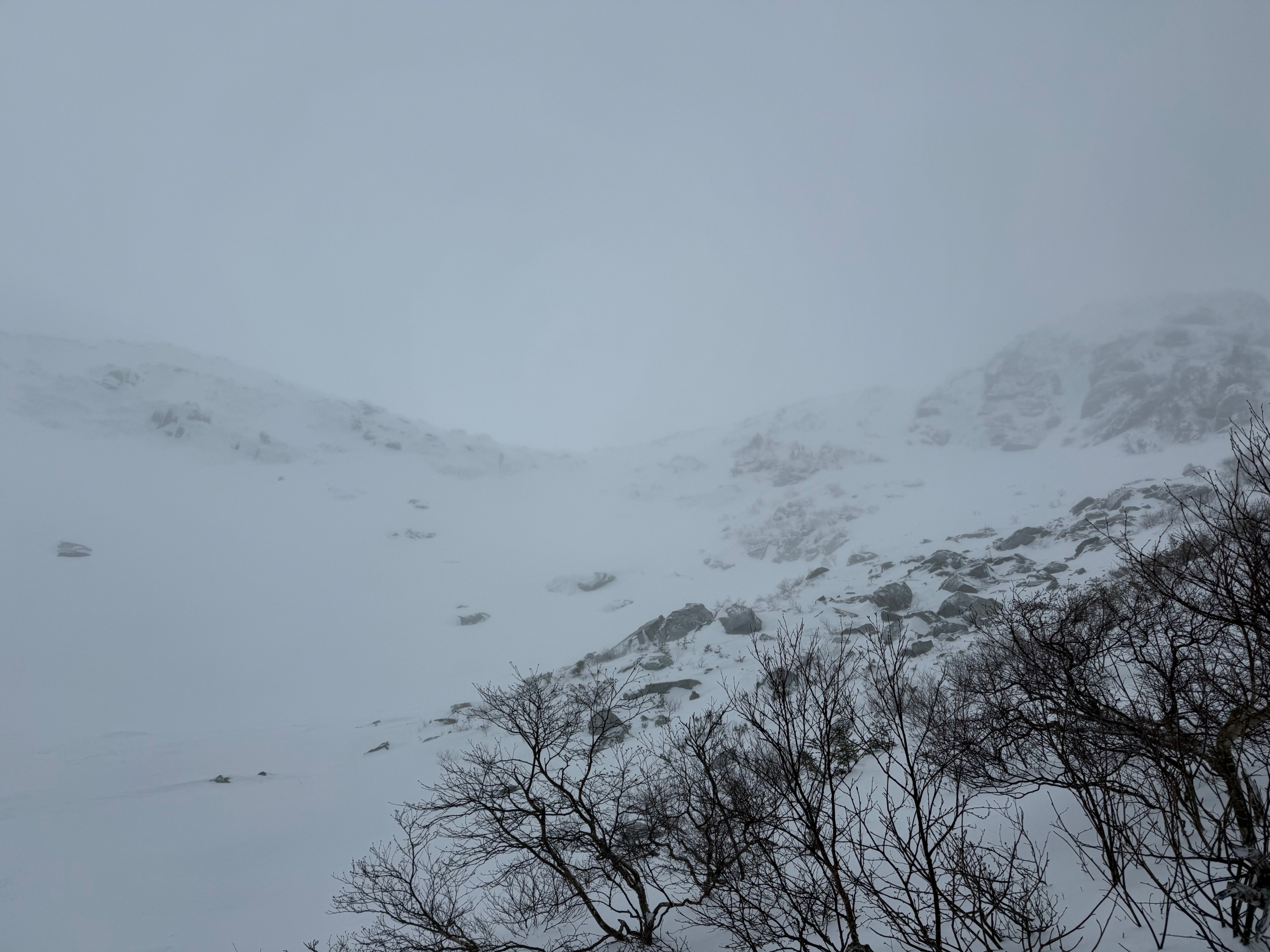
Overall we did not find much evidence of wind slabs built from yesterday’s 2.6 inches of snow. Saw firm, textured, and wind-affected surfaces in the ravine and limited areas of soft snow even in sheltered and treed areas so we had confidence that these wind slabs are small and isolated.
We also did not find evidence of new wind slabs while we were in the terrain, as the lower wind speeds were not moving snow. Overall we found more firm surfaces than soft, and soft snow we found was cohesionless with the warmer temperatures and moisture seemed to be settling. Once wind speeds increased, just before noon, we noted snow falling sideways as well as snow moving off of trees.
Weather
- Air Temp
- 16
- Cloud Cover
- overcast
- Wind Loading
- light
- Recent Snowfall
- 6.6
- Snow Avail For Transport
- moderate amounts
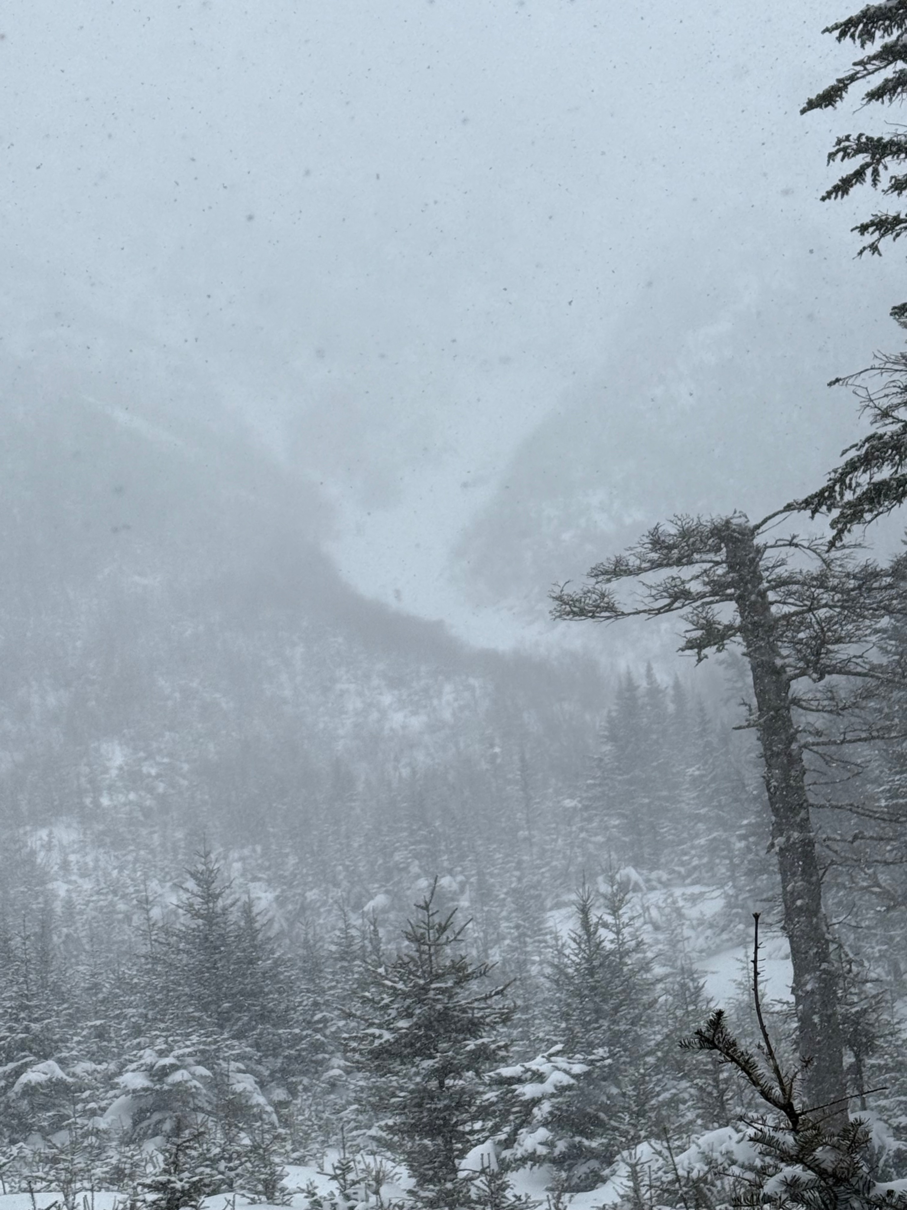
Light snow that was falling with little to no perceivable wind till about 10:00 AM when it stopped, snow began again just before 12:00 PM and we noted that it was falling sideways as winds had increased at this time.
Snowpack
We found surprisingly quiet conditions in the ravine with an absence of wind or evidence of much loading (noticed winds pick up at noon and snow moving at that point).
Looking at the weather, it seemed that forecasted snow totals had once again decreased for the morning which (unfortunately) was in line with what we were finding. At least it seems the afternoon snow totals are still forecast at 3.5 inches at the time that I am writting this.
We did not find much evidence of an avalanche problem developing, or evidence of an older one from the 2.6 inches of snow yesterday. It feels important to note that this is from one aspect, but based on the distribution of the new snow and pervasiveness of firm, scoured surfaces we had confidence in the old wind slabs being small and isolated.
Leaving Tuckerman Ravine we talked about encountering less snow and wind than we had anticipated, as of about 10:00 AM it had stopped snowing. Looking at weather forecasts back at Hermit Lake we saw the decreased AM snow totals and winds out of the west instead of the forecasted southwest tilt.
Around noon the snow began again and increased in intensity (S2). At this time we noticed the wind increasing as well and saw snow moving around. There was still snow on tree branches, but we could see the winds starting to strip this as well. We found quite a bit of snow available for transport.
While we did not find evidence of the problem, we did see evidence of the problem developing, increasing the avalanche hazard, in the early afternoon when the west wind speeds increased. We also looked at Hillman’s from the historic runout at about 1 and saw a few skiers headed up, snow moving around, and generally poor visibility. Talking to skiers who were in Hillman’s later in the afternoon, they were finding evidence of new wind slabs forming with consolidating snow and cracking underfoot.
At 1:15 PM did note graupel falling and mixing into the surface snow.