
Quick report
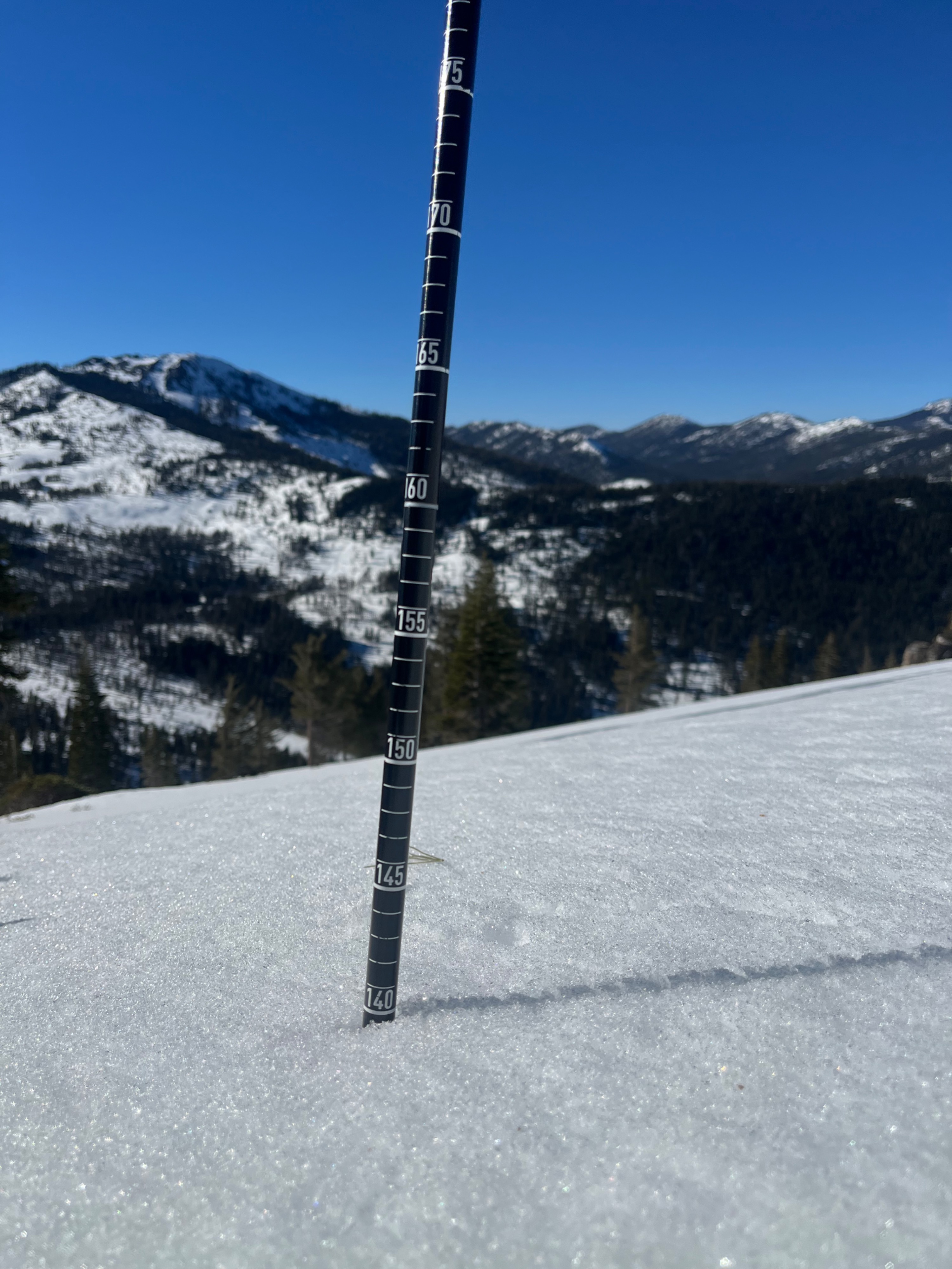
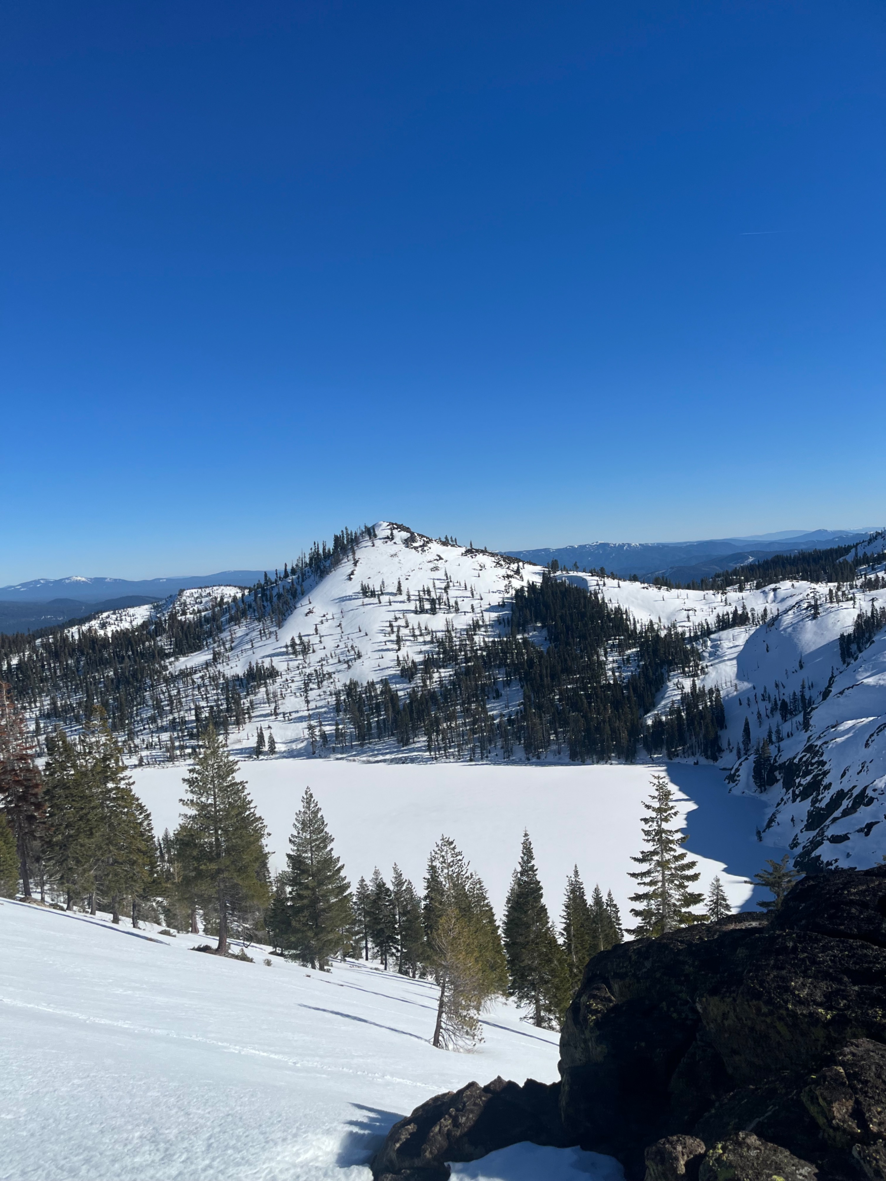
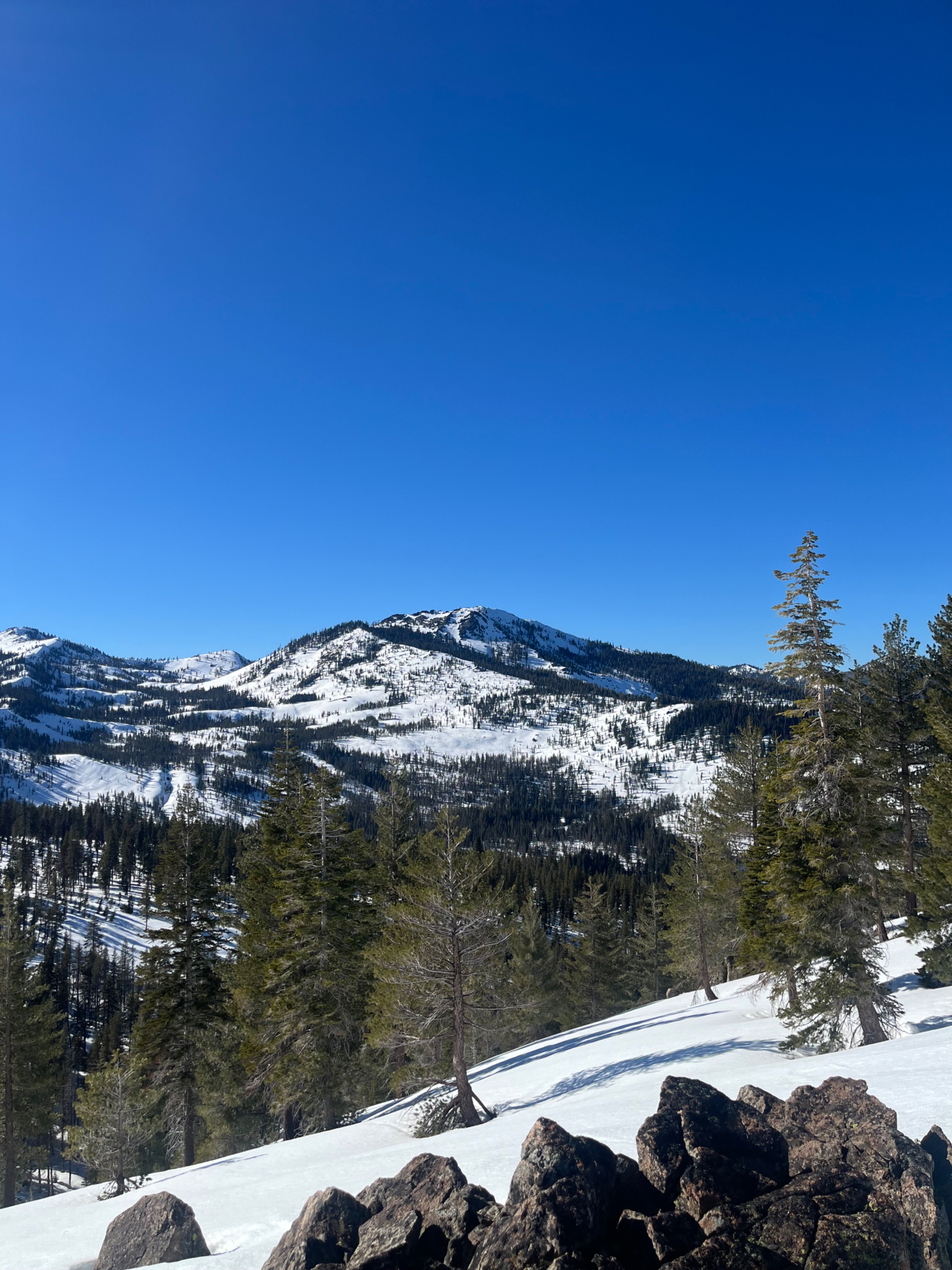
The Castle Lake area dropped to below freezing temperatures for the first time in a week last night. This created a widespread frozen snow surface on all aspects and elevations observed. By midday, this crust softened on solar aspects ranging from two to six centimeters deep. Recent small wet loose avalanches occurred in the last few days while temperatures were warmer. I observed no other signs of instability. Above 5,000 feet total snow heights ranged from 90 to 170 centimeters.
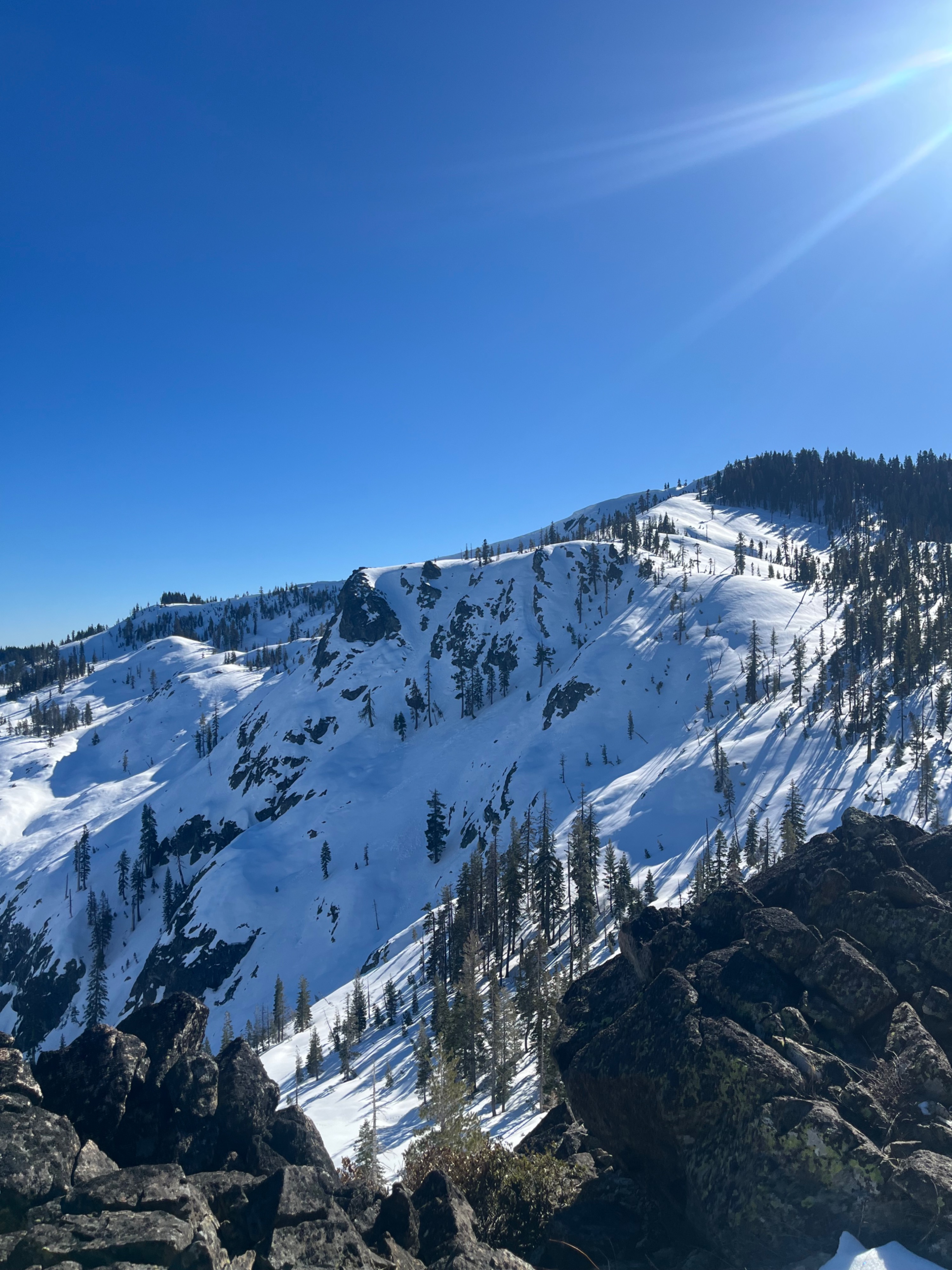
Observed several small (D1) wet loose avalanches on north, south east, and east aspects.Weather
- Air Temp
- 33
- Cloud Cover
- clear
- Wind Loading
- none
- Rain Elevation
- N/O
- Recent Snowfall
- 0
- Snow Avail For Transport
- none
Sunny skies. Cool morning temperatures rose to above freezing by the afternoon with variable light winds.