
Quick report
- Cracking
- specific
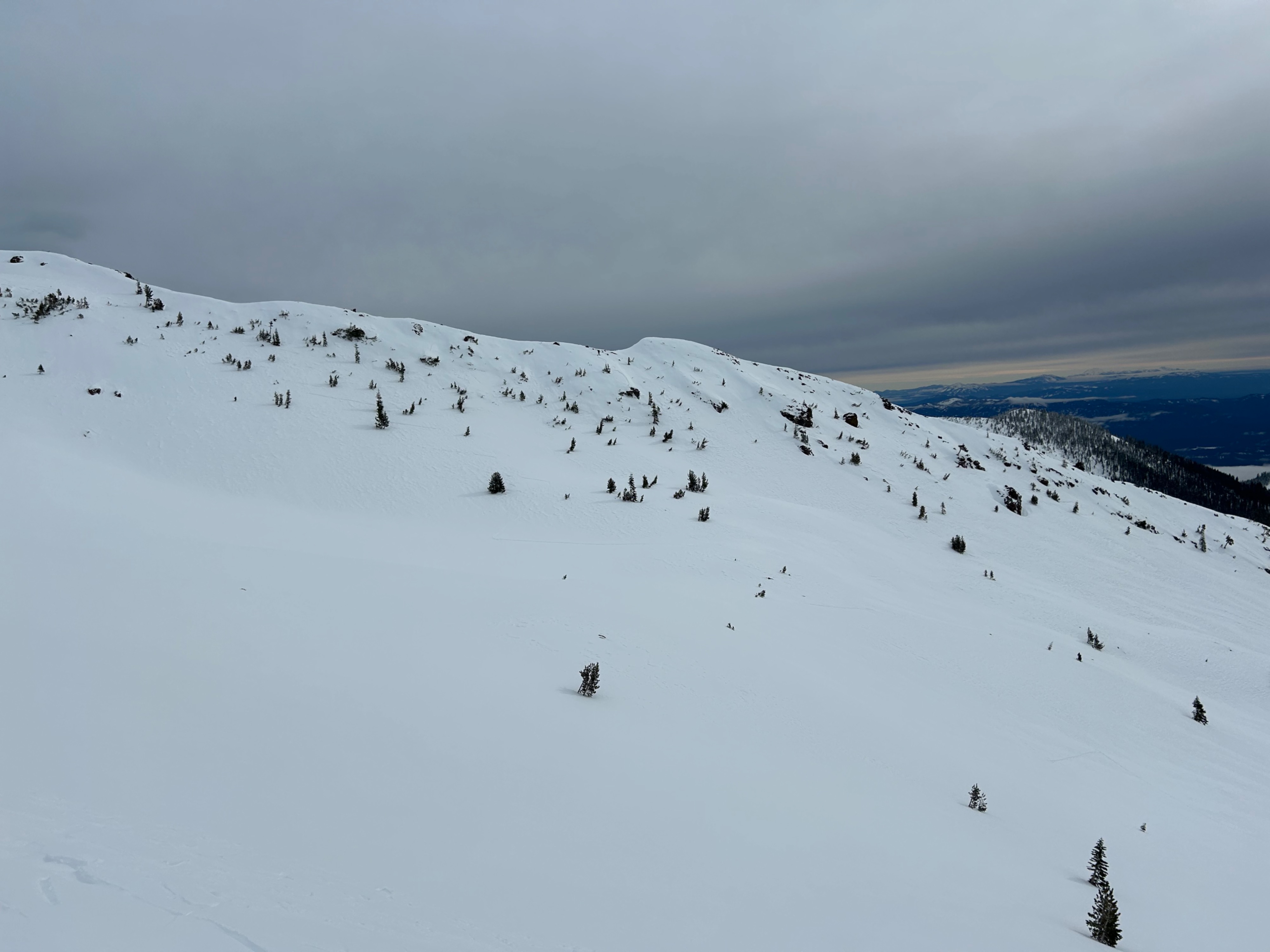
Below and near treeline, immediate signs of instabilities have decreased and the snowpack has begun to settle under fair and warm weather.
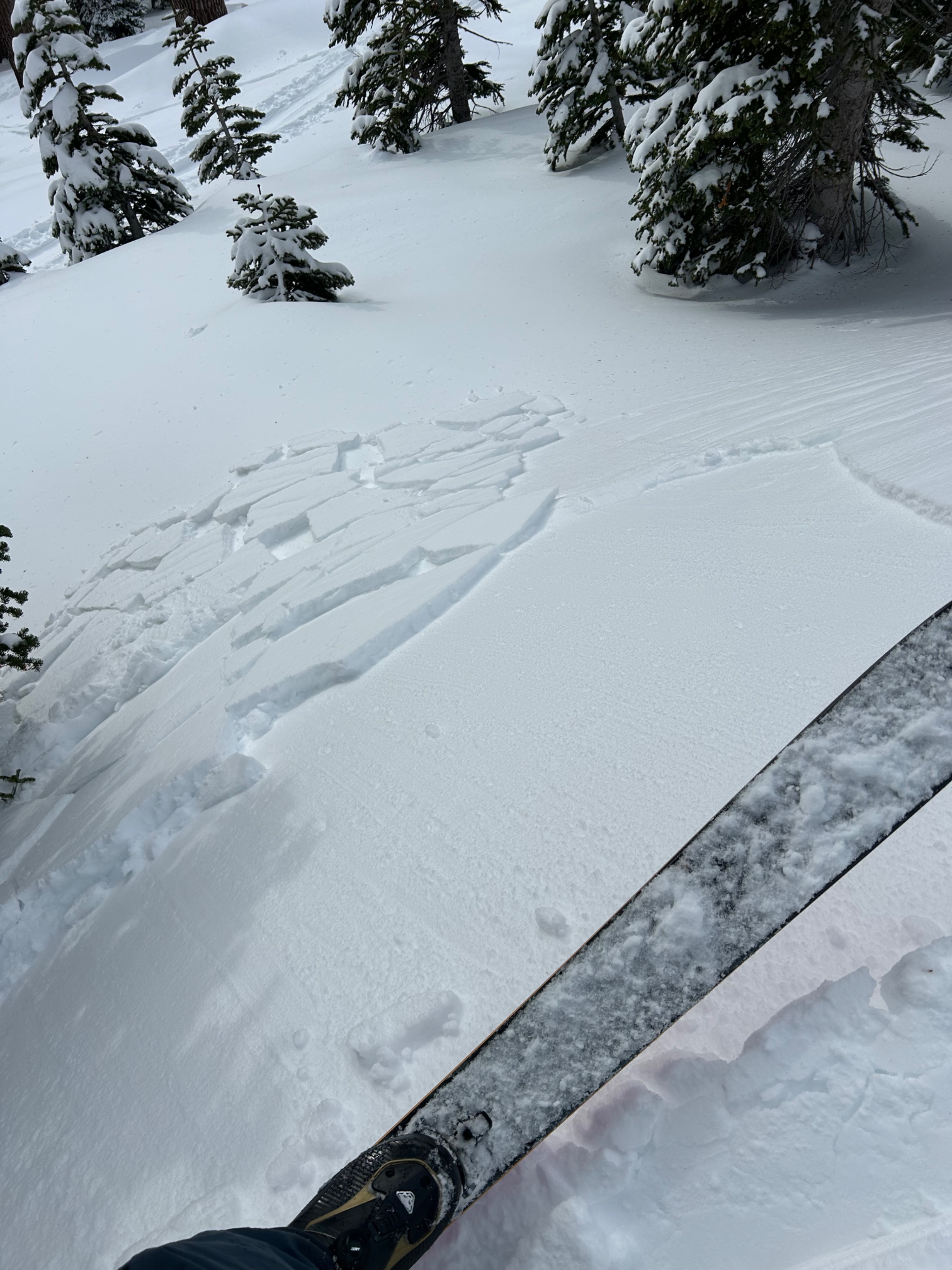
My weight released a thin wind slab on a convex leeward ridge feature near treeline. See photoWeather
- Air Temp
- 36
- Cloud Cover
- overcast
- Wind Loading
- light
- Recent Snowfall
- 0
- Snow Avail For Transport
- small smounts
Early morning skies gradually grew overcast with high and mid-elevation clouds. Temperatures trended from cold to warm throughout the day, reaching a max of 38 degrees F at 8,000 feet. Light to moderate winds blew out of the west and northwest.
Snowpack
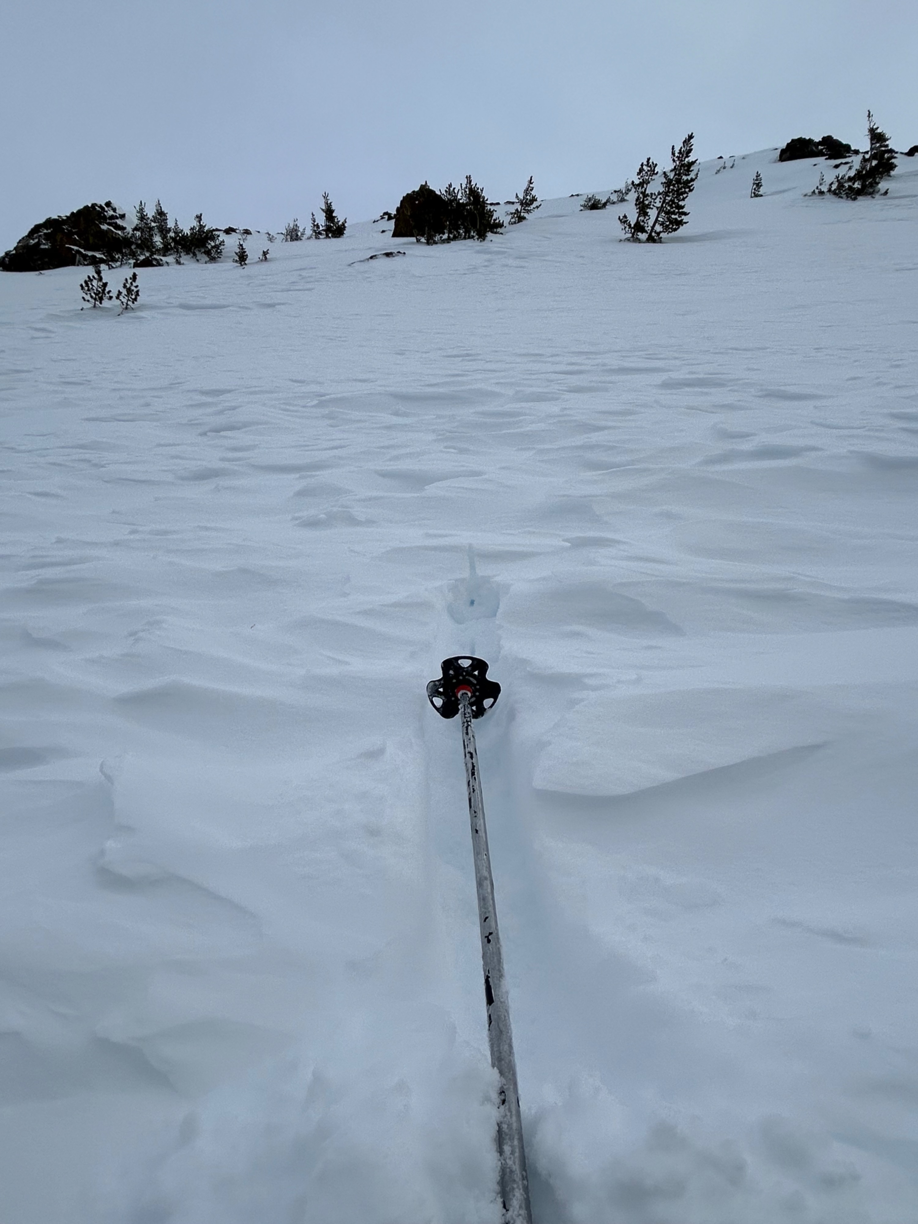
Near treeline, surfaces range from firm wind board, to soft and chalky wind skin. The firmest surfaces exist near pronounced ridgelines and roll-overs where wind has impacted.
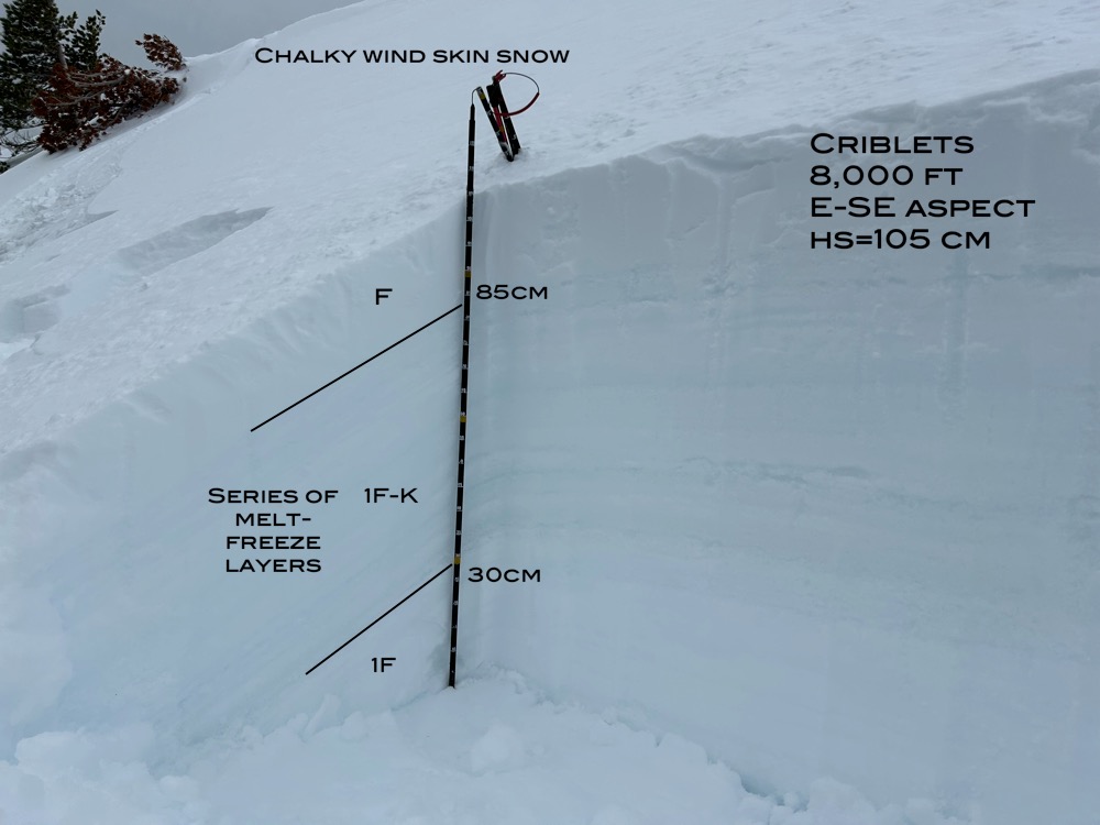
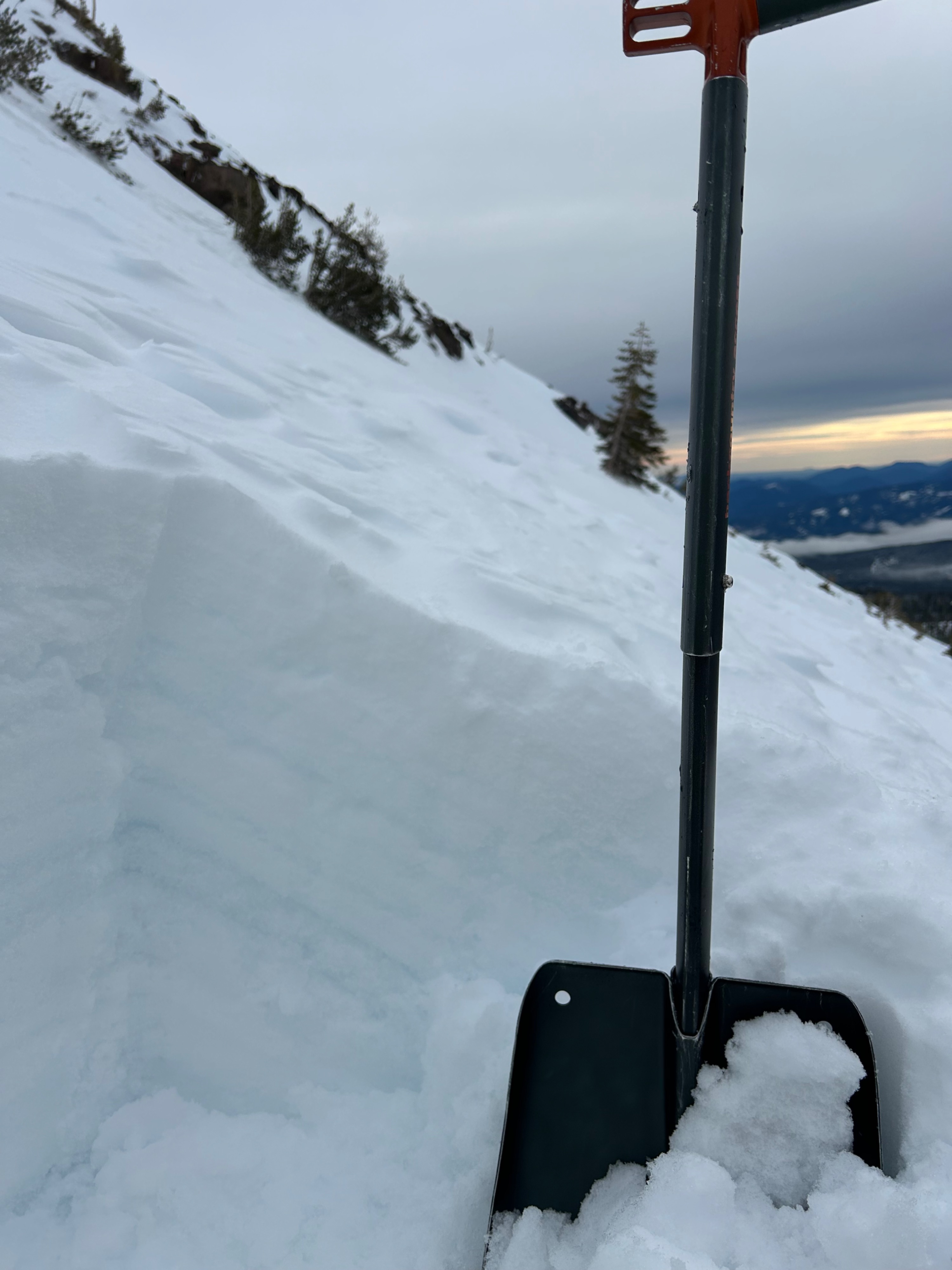
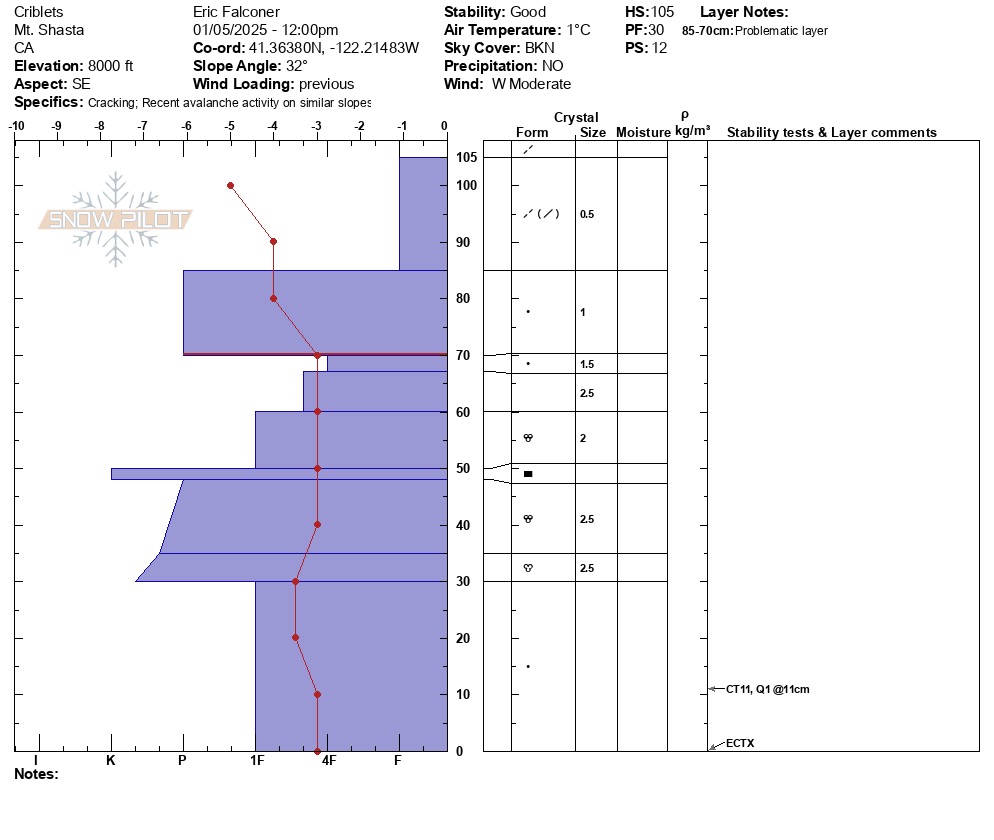
Today, I dug a pit at 8,000 feet (near treeline) on a E-SE aspect to investigate any lingering wind slab instabilities and evaluate the state of the snowpack. A compression test highlighted a reactive interface 17 cm down, with a Q1 sheer quality on moderate force. An ECT did not propagate.
What I did find was roughly 10 inches of soft snow sitting atop a large series of melt-freeze crusts, with layers of dryer snow sandwiched in between. These crust layers have not frozen, making them damp and semi-porous, averaging 1F- P hardness. They were deposited from several rain-on-snow events and comprise the top half of the snowpack. They exist over a distance of multiple feet (see photo). Below, softer snow of rounding grains exist 45 inches down from earlier in the season. Structurally speaking, we have soft snow above hard snow, which is best, and no layers of concern at this time and location.