
Quick report
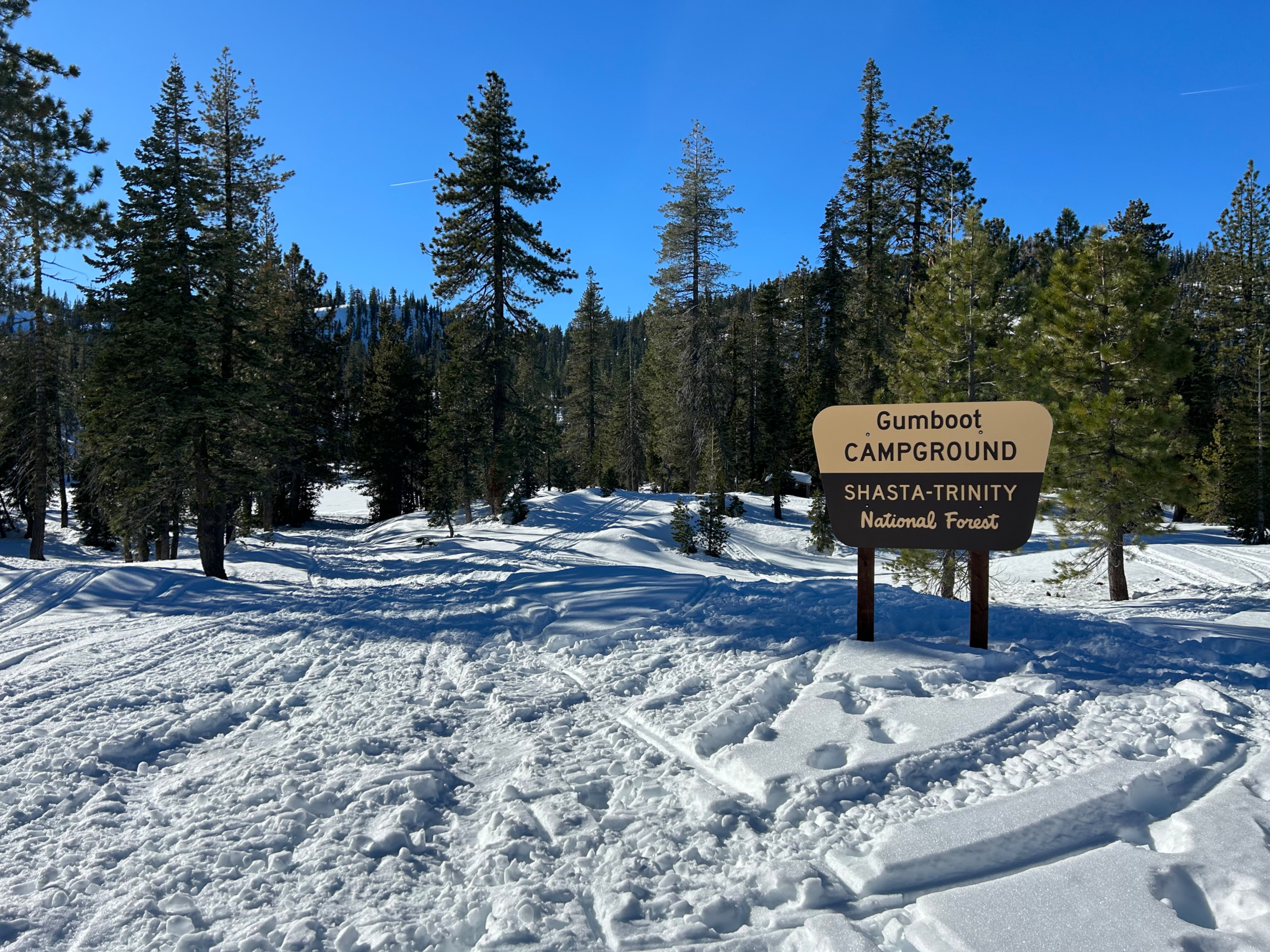
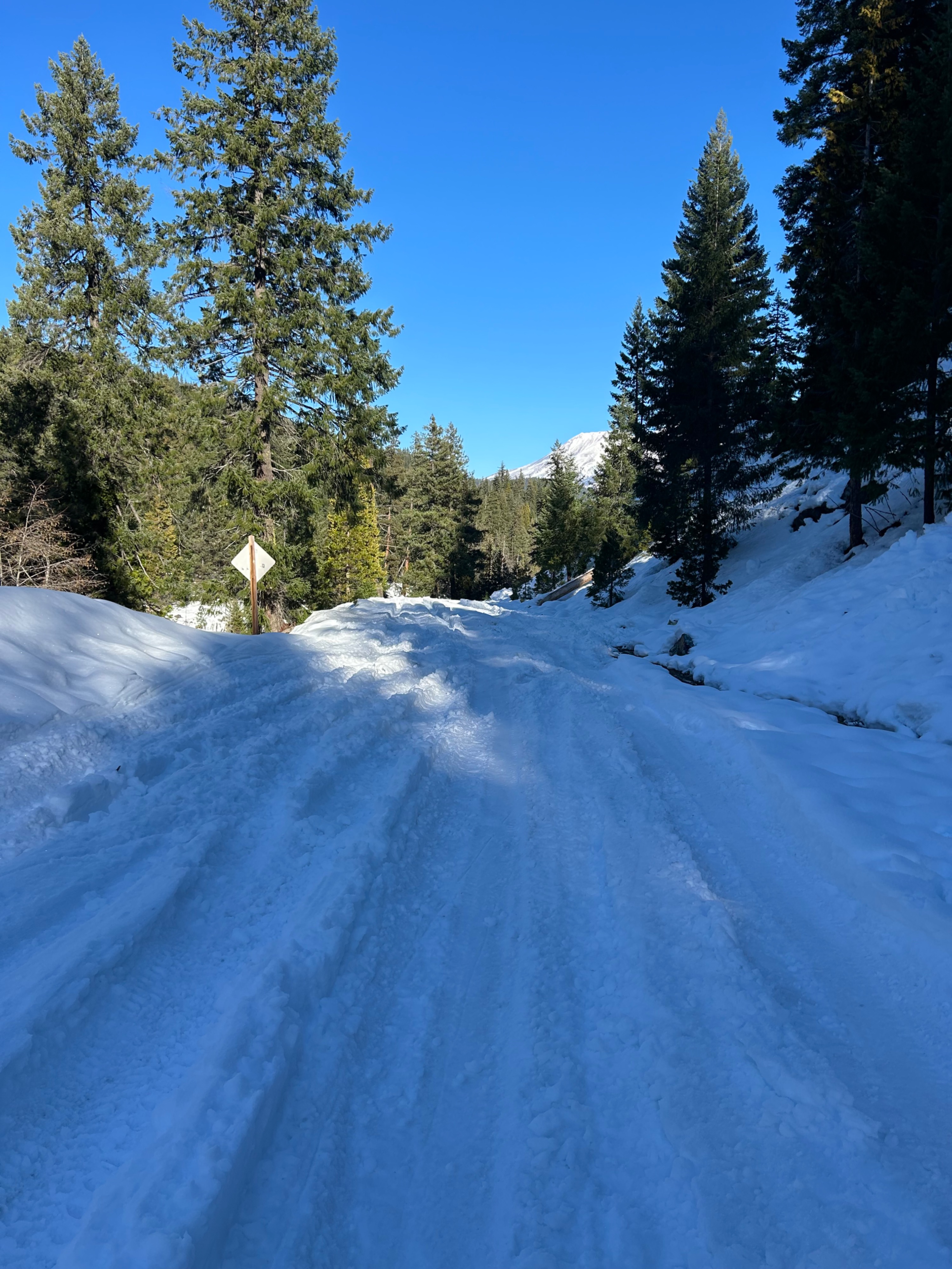
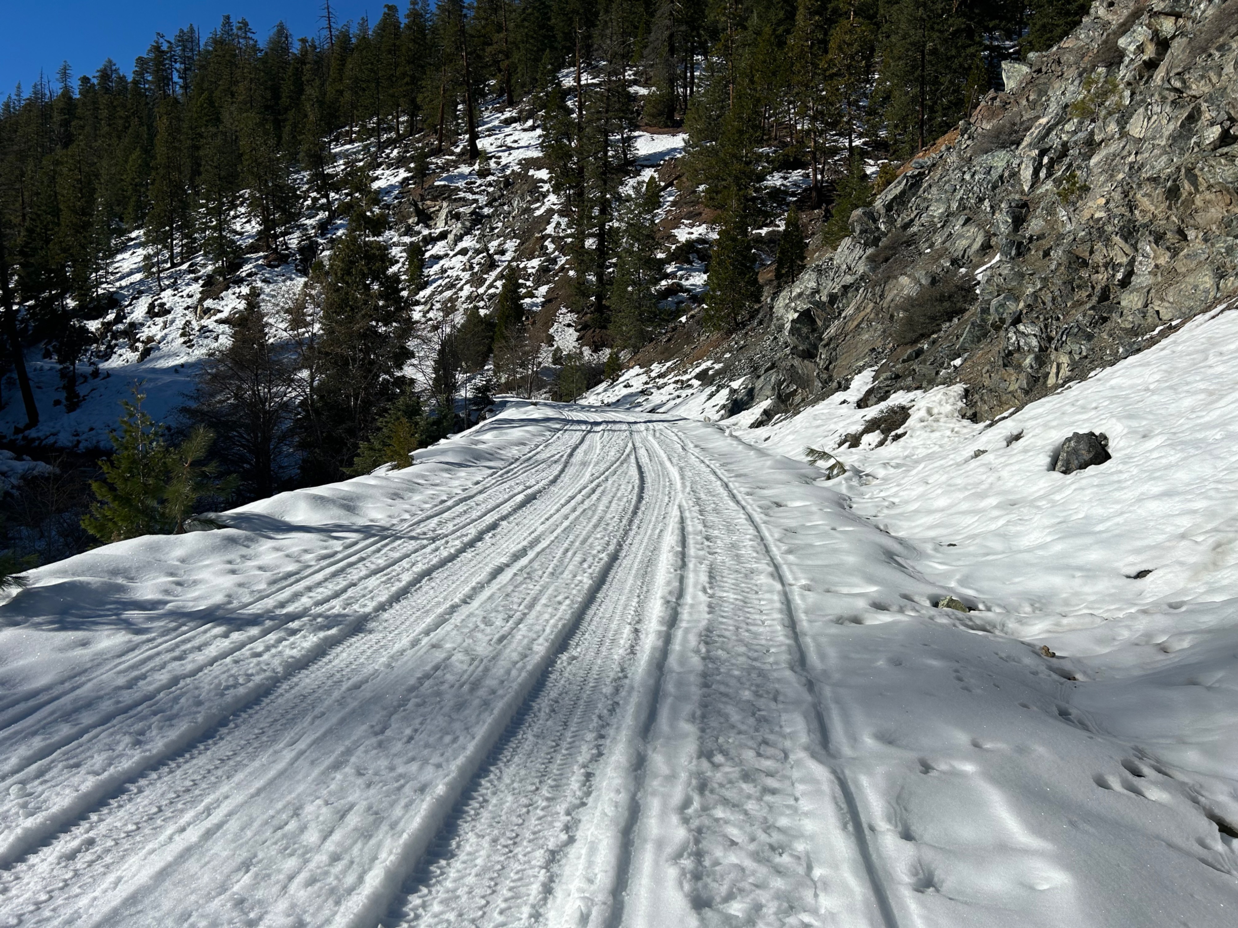
Today I set sail up the South Fork of the Sacramento River drainage to observe accessibility, along with general snow conditions. The NF 26 road has consistent snow coverage the entire way to Gumboot Lake and beyond. However, the first three miles of road have been heavily impacted and rutted by Jeeps and Snow Cats, making travel slow-going and difficult. After roughly three miles or when you reach the second bridge crossing to access Gray Rock Lakes, the tracks stop and travel becomes much easier going.
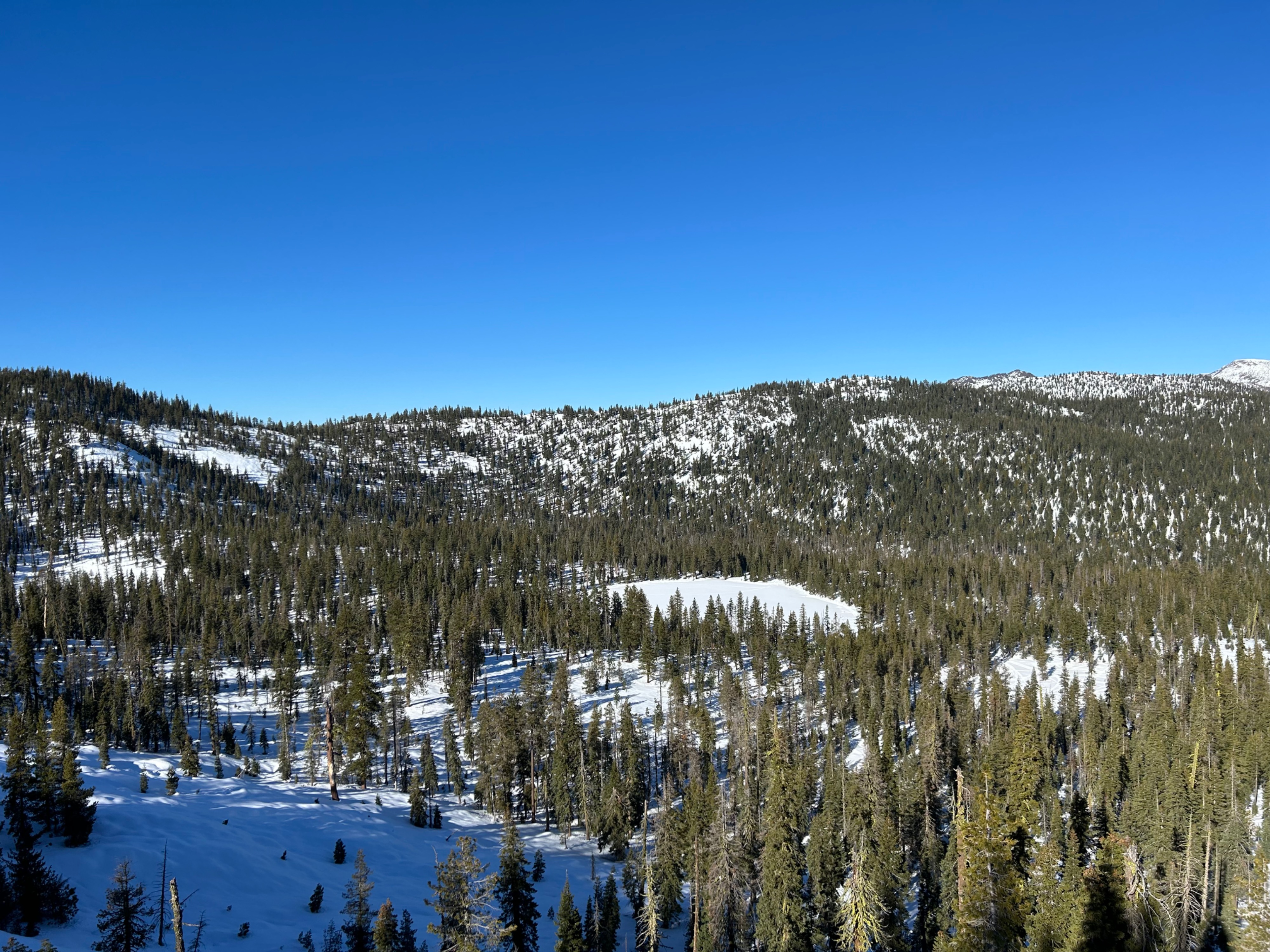
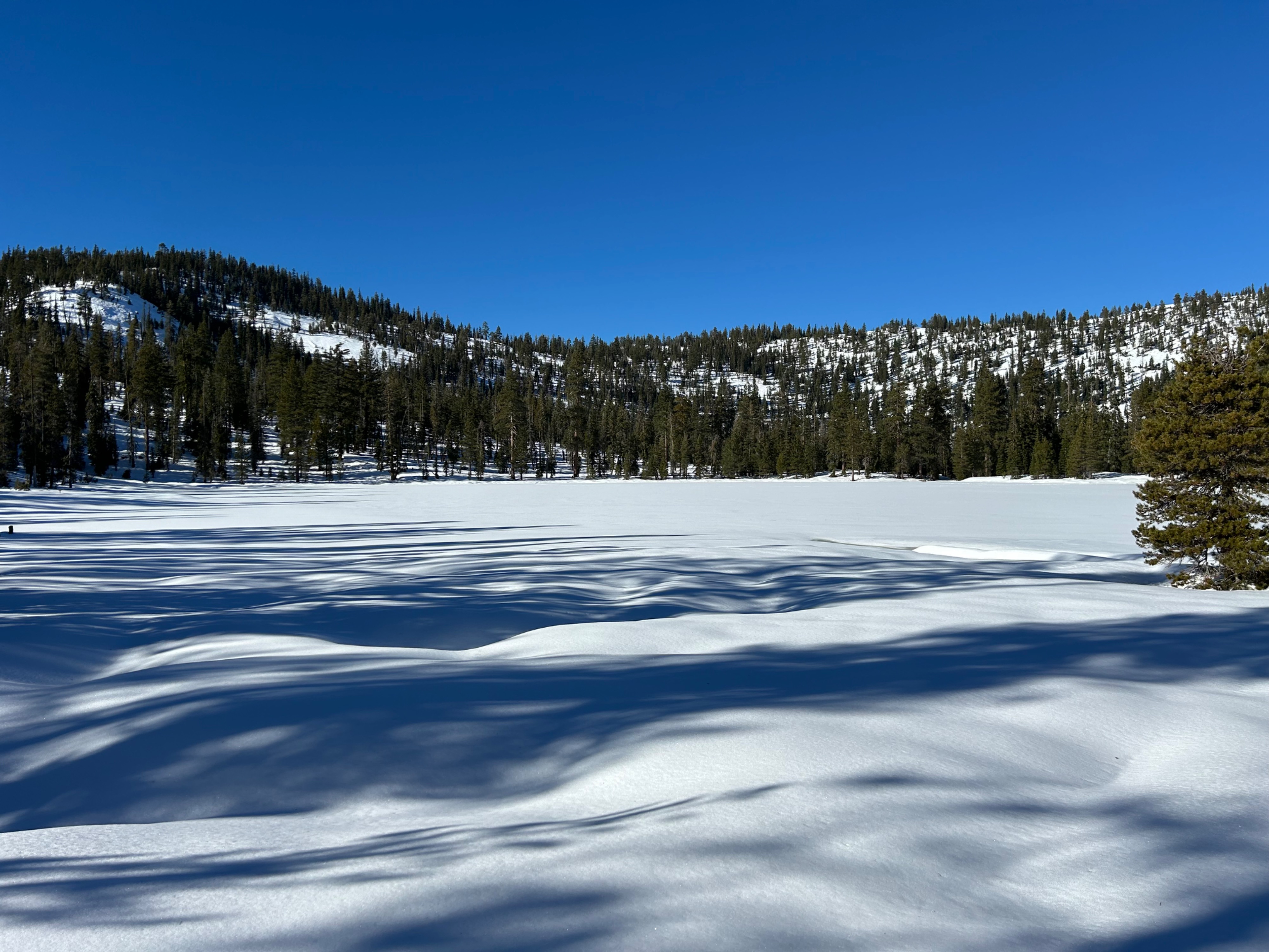
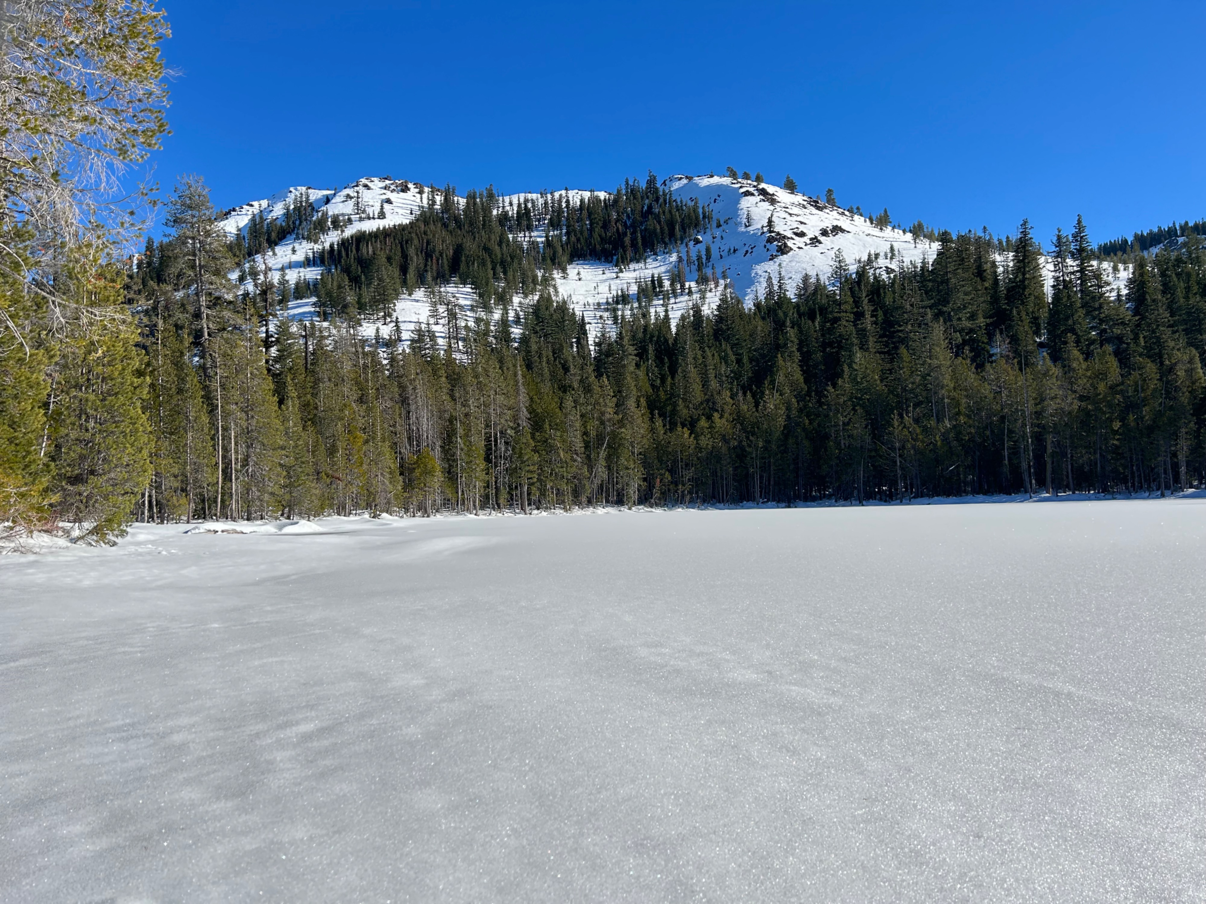
Both Cliff Lake and Gumboot Lake host respectable snow coverage for recreation. The snow depth at Gumboot Lake is 53 inches on average, with Cliff Lake sitting at 40 inches. The settlement of the snowpack illustrates many of the underlying objects and the thin snow coverage that blankets them. A good reminder that it's still early season and buried objects and shallow snow coverage exists.
Weather
- Air Temp
- 35
- Cloud Cover
- few
- Wind Loading
- none
- Recent Snowfall
- 0
- Snow Avail For Transport
- small smounts
Today hosted fair and stable weather. The skies were mostly clear and temperatures hung around the mid-30s. Winds remained calm to light.
Snowpack
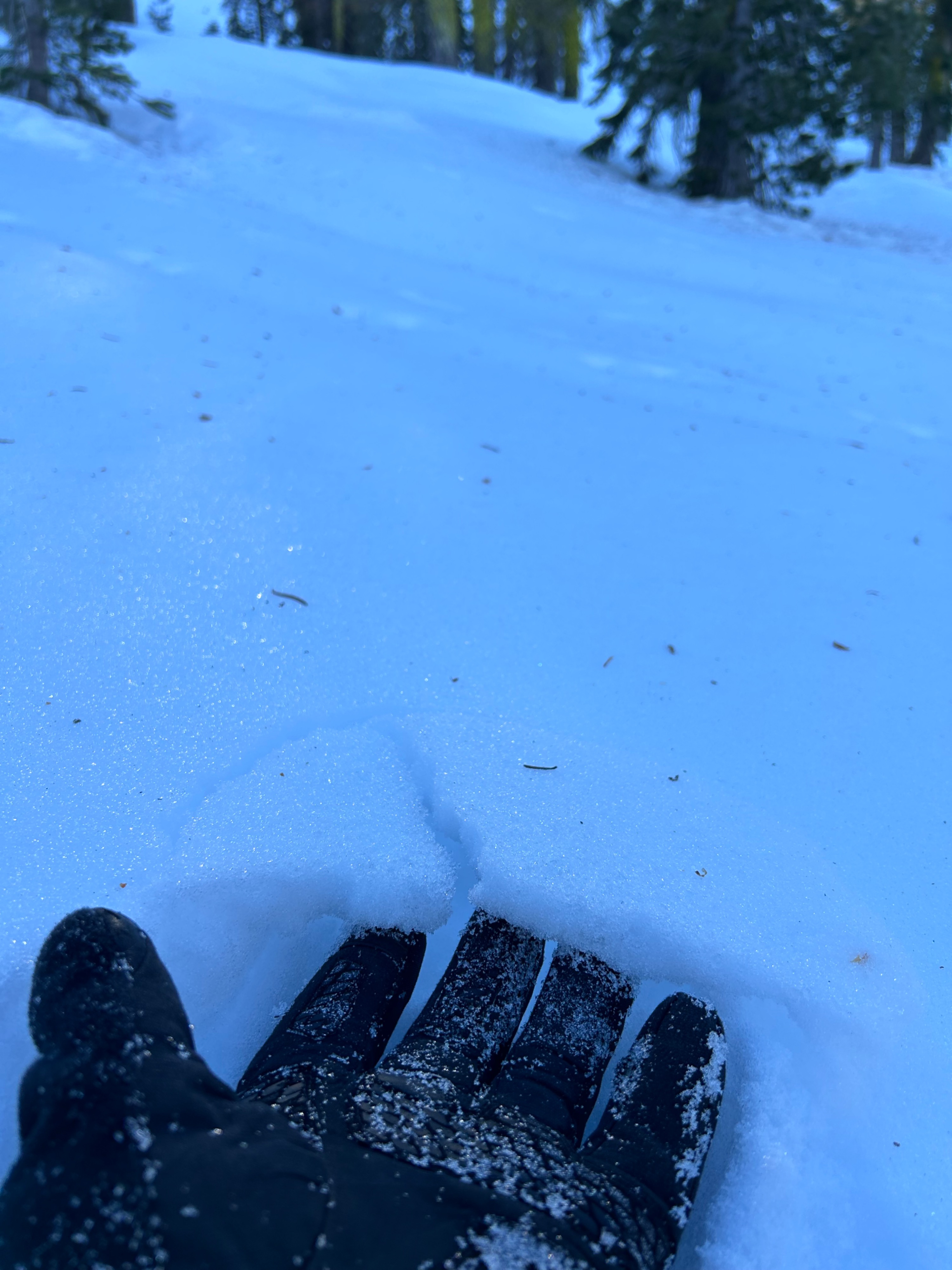
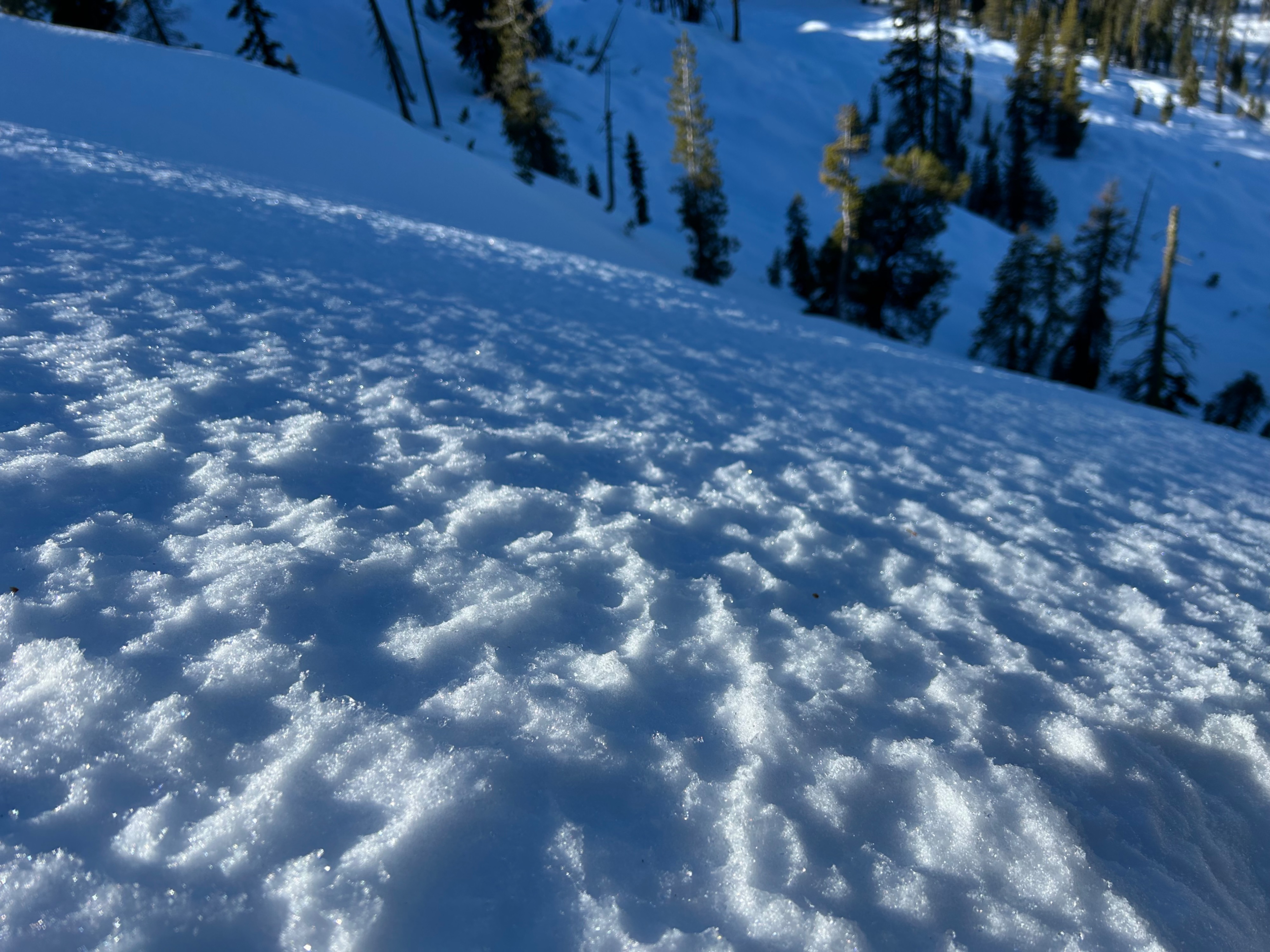
Changing and variable snow surfaces remain the most notable finding. I observed moist, firm, crunchy, and soft snow near and below treeline.
North aspects have begun to form a thin melt freeze crust due to warm ambient air temperatures. However, this is not the case for all north aspects, soft snow can still be found, it's just harder to sniff out. South aspects have formed a much more robust melt freeze crust, reaching half an inch in thickness. On steep southerly slopes or in lower elevations, this crust is thawing out over the course of the day, dampening the surface to almost a “corny” consistency. East and west aspects are a combination of the two conditions.