
Quick report
- Cracking
- isolated
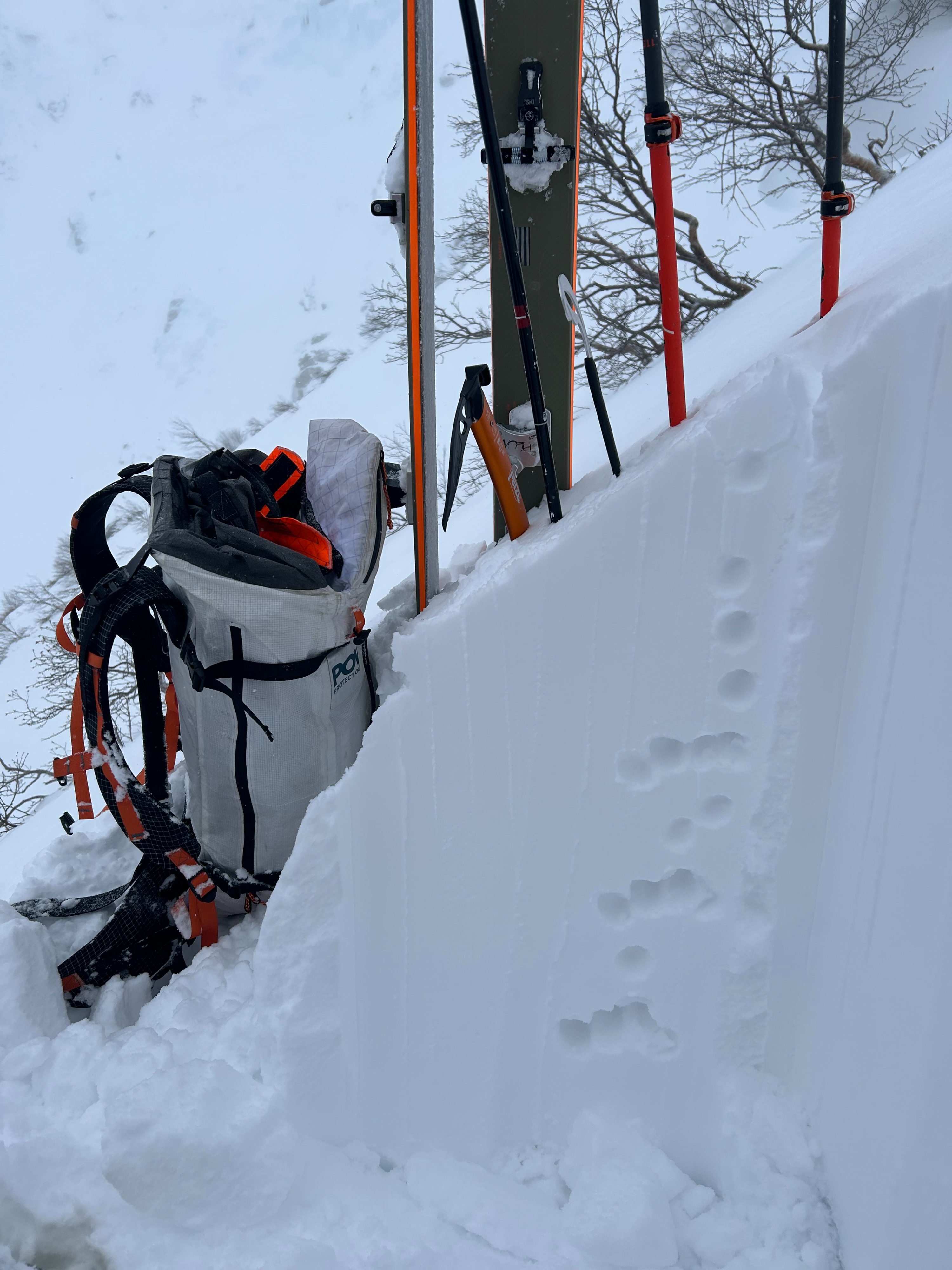
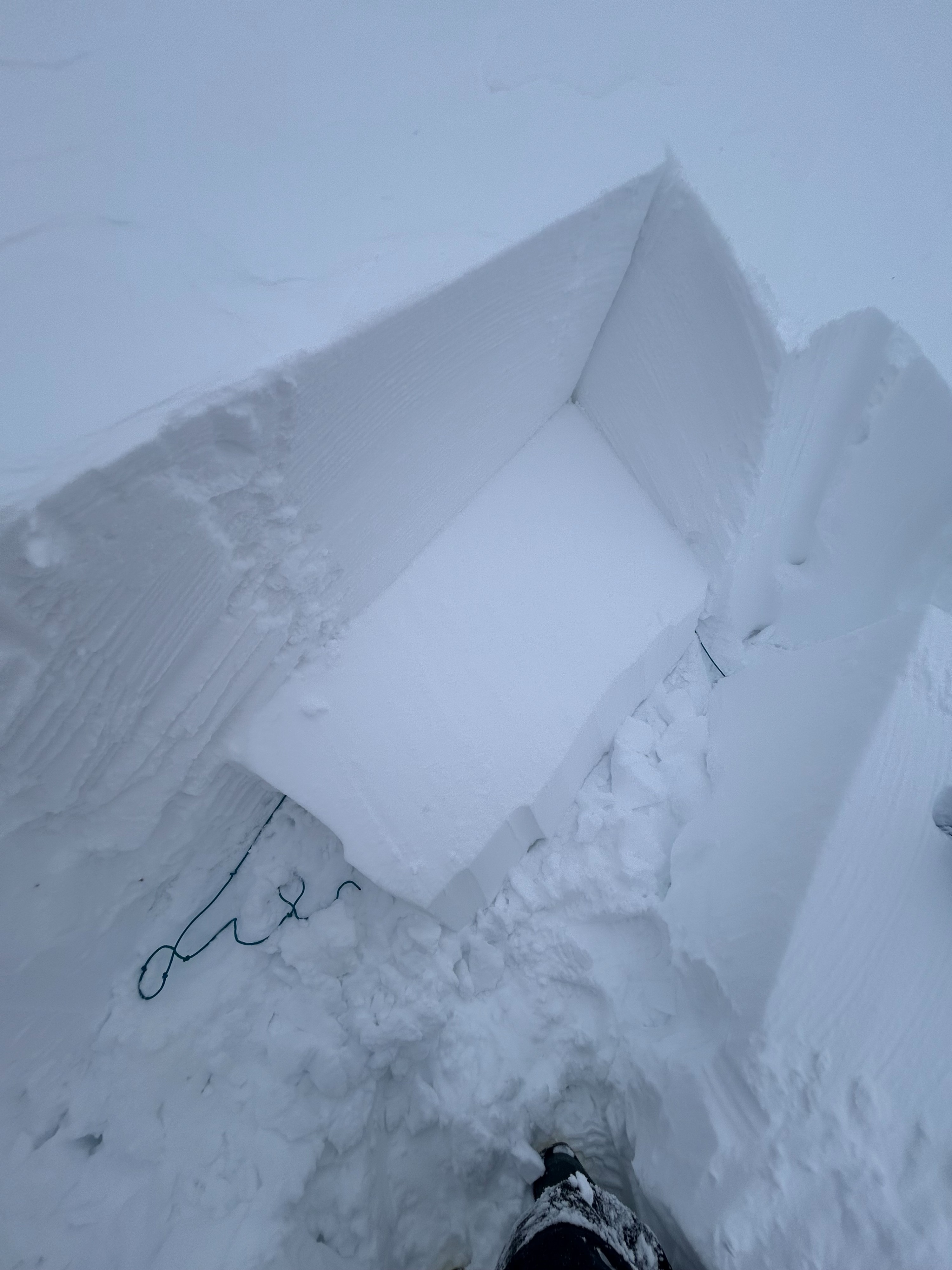
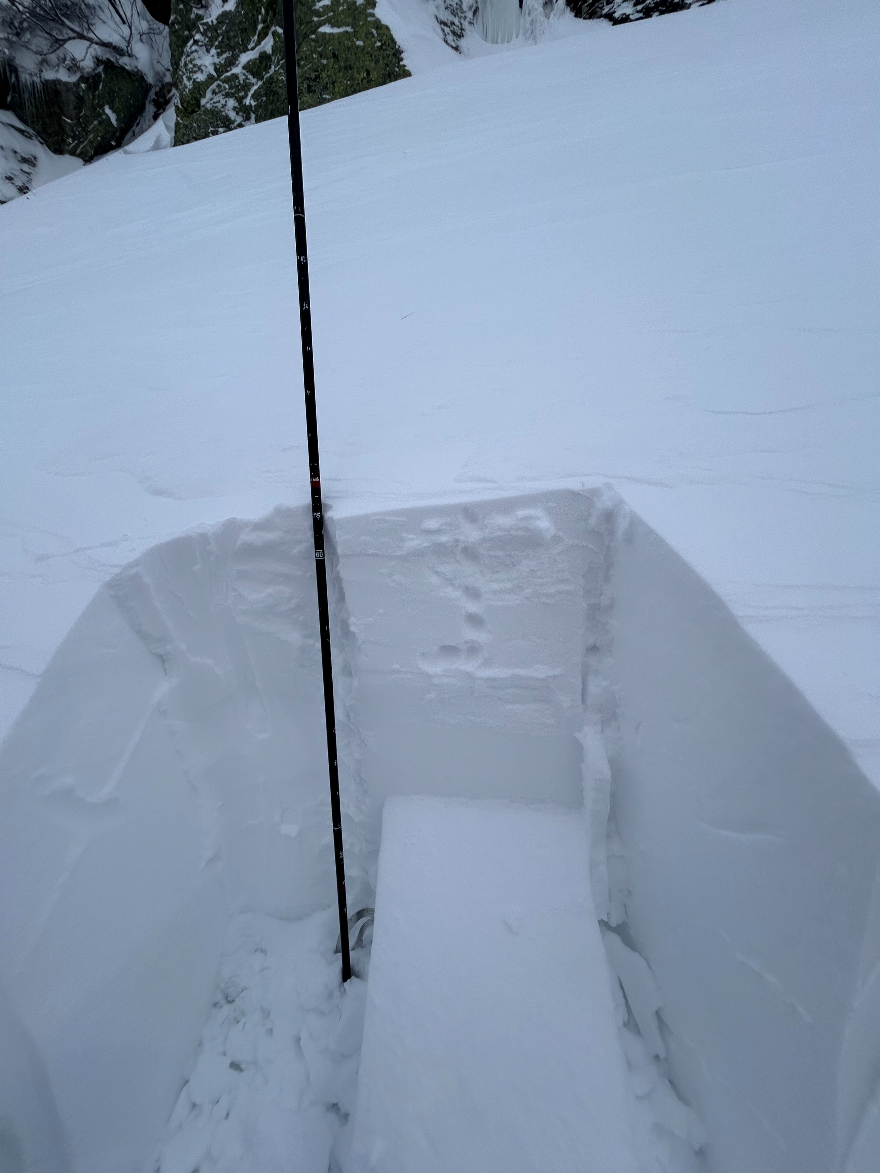
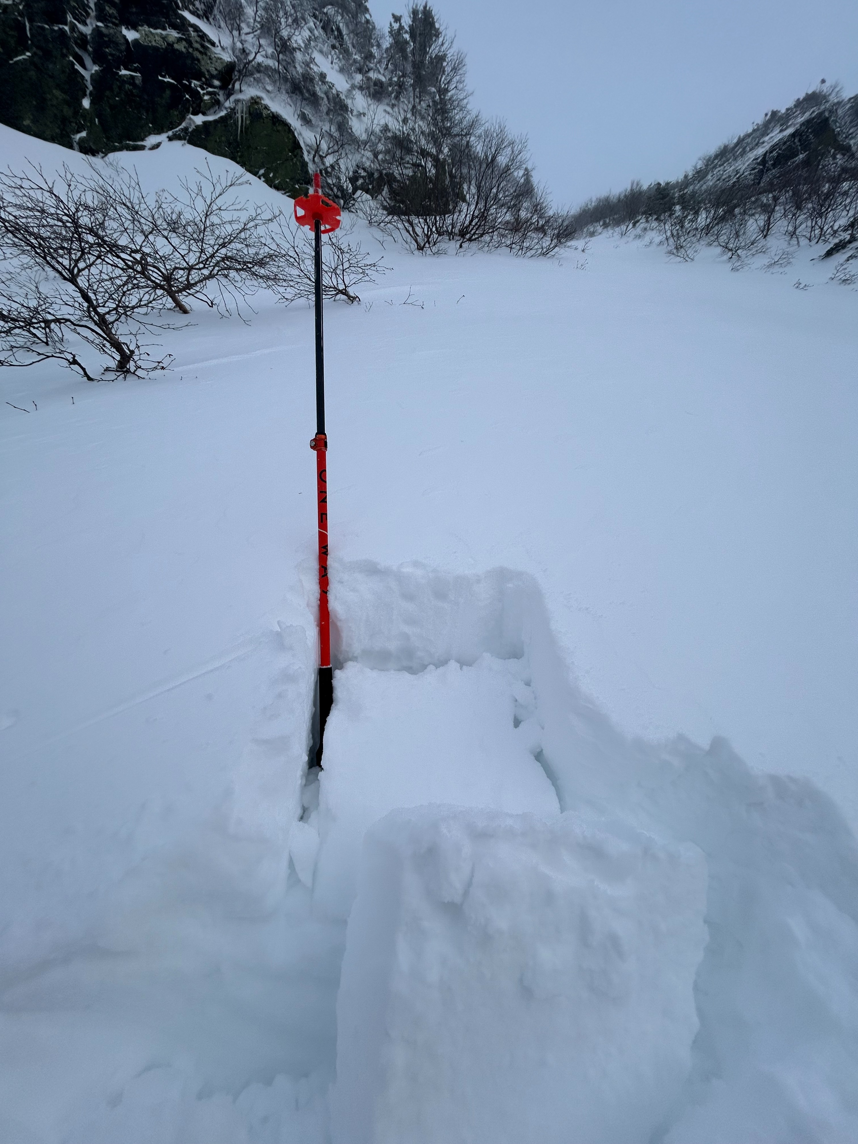
I began the morning with the intention of touring for fitness and to enjoy time in the mountains. My terrain options (A, B, & C) were developed with these overarching goals in mind. Additionally, I was curious to see how much snow had fallen above 4,000ft and how the new snow was/wasn't bonding with the old icy surface. I was caught off guard by how much snow remained in the ravine since the observatory recorded average wind speeds of 60mph, with max gusts up to 112mph within the previous 24hrs. Skinning was relatively easy all the way to the entrances of both right gully and lobster claw. On the way up I noticed what appeared to be a crown line just below the ice on the headwall. Visibility was poor and I was unable to get a clear photo of what I presume was a recent natural avalanche. At the base of lobster claw I performed two hand shears, both of which broke on isolation. Given the evidence of a recent avalanche behind me (nature providing some free information), the type (hard) and depth (30cm) of slab, and the ease with which fractures initiated, I made the choice to turn around and ski back to Hermit Lake. This is important because the following assessments, although much more "formal," contributed to my overall information gathering process but they weren't the only observations made. On my way back towards right gully I still wanted to investigate the interface between the new snow and the old icy surface (one of my goals/questions for the day and information a hand shear couldn't provide). I found a safe, relevant, and polite place to perform a CT and ECT at 4,700 ft, SE aspect. These tests resulted in the following: CTM(17) SP down 30cm, and ECTP20 down 55cm. In short, I was glad my curiosity provided a moment of pause to investigate deeper into the snowpack. With my fingers and toes sufficiently cold, and needing a cup of coffee, I skied back down. The little headwall is "skiable" but there are holes in the middle just below the prominent rock that divides the headwall, as well as at the base where the line starts to flatten out.
Avalanche
At 7:45 am there appeared (visibility was quite limited) to be a crown line below the ice on the headwall of Tuckerman Ravine. The crown line seemed to extend down into rocks roughly 50-60ft below the ice. Given the recent snow and high winds, I assume this avalanche occurred relatively recently otherwise the crown line would have likely filled back in. It was difficult to see if there was debris on the floor of the ravine and I chose not to investigate further given that lines on a similar aspect and elevation did not appear to have recently avalanched.