
Quick report
- Cracking
- isolated
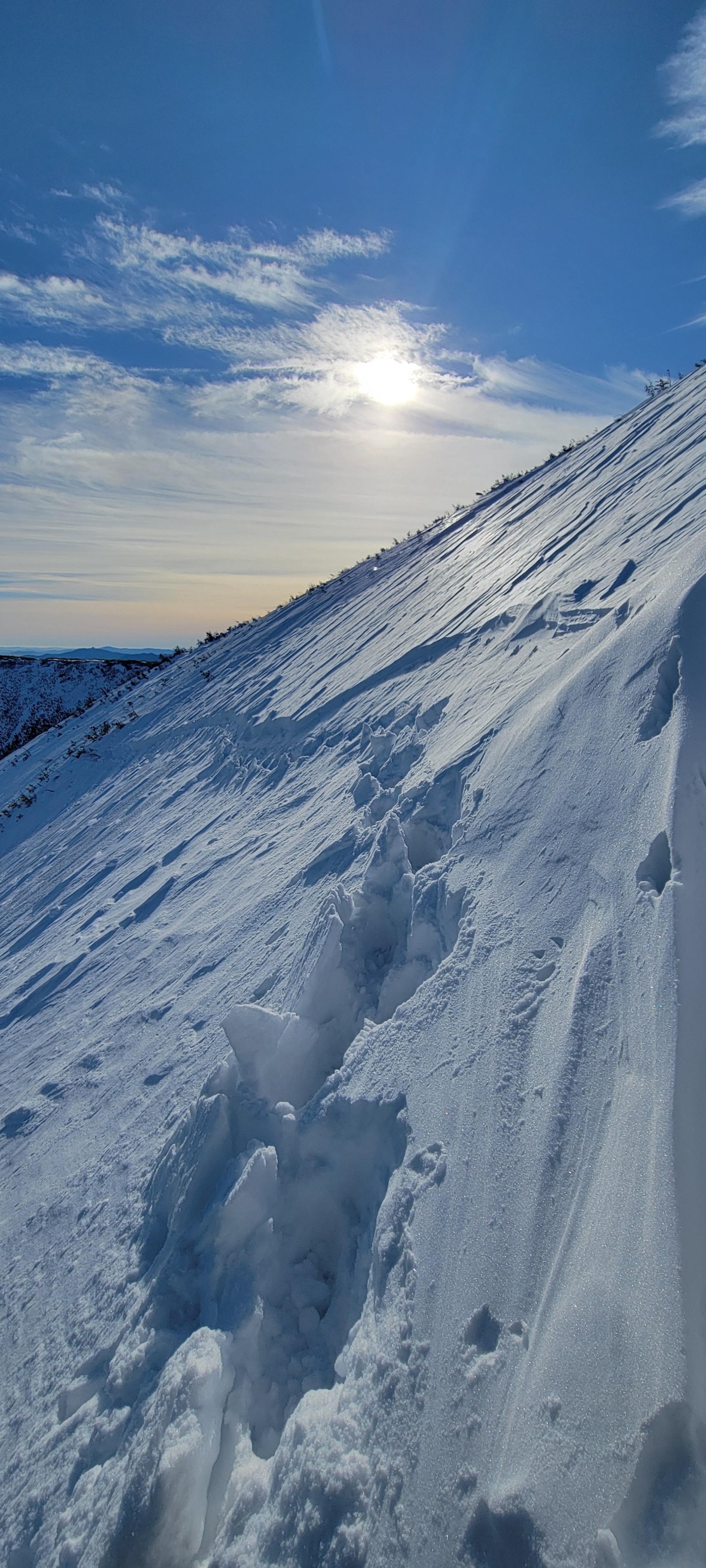
The snowpack was observed to be variable today. There are still pockets of softer, wind-sheltered snow on E aspects in middle elevations, as well as areas of exposed rain crust from 12/19. In some areas where the rain crust is exposed, faceting is occuring below the surface.
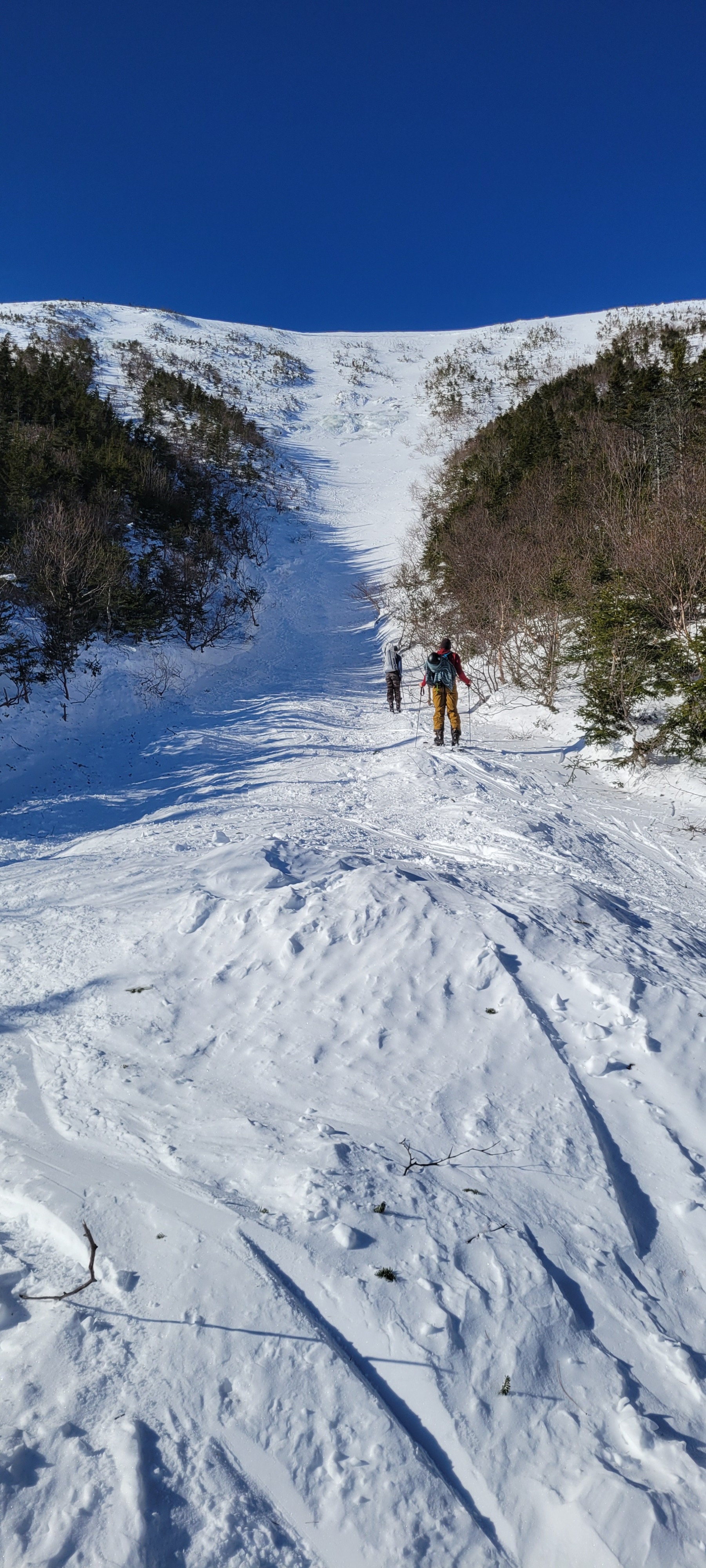
Observed a crown line in Main Gully and Boot Spur Gully #3 from the 12/25 cycle. While traveling through newly transported snow beneath the crown in Main Gully, cracking was observed between steps.Weather
- Air Temp
- 28
- Cloud Cover
- clear
- Wind Loading
- none
- Recent Snowfall
- 0
- Snow Avail For Transport
- none
Skies remained mostly clear throughout the day, with thin, transparent clouds around midday that cleared by the afternoon. Wind did not exist until ~4700 ft, where calm NW winds were observed.
Snowpack
We found that a variable snowpack exists in E avalanche terrain at middle elevations. The 12/19 rain crust is on the surface in many areas and is the bed for the avalanche in Gulf of Slides Main Gully. In some spots, where solar effect has been greatest, the crust is easy to punch through and is rotten, showing some faceting below the crust. Boot penetration on this surface varied from 1cm to 10cm.
In more sheltered areas, there are pockets with softer snow. Boot penetration on these surfaces varied from 2cm to 20cm. The depth of these areas also varied. These softer pockets are thinner where they interface with the exposed rain crust and increase in depth toward wind-sheltered areas. We found wind-blown snow from the day/evening before beginning to fill in below the crown. We took a look at the crown of the avalanche in GOS Main Gully and found that there were two layers of concern 40cm down and 51cm down, both above the rain crust (65cm down). We did an ECT test on the crown and found there was failure at 22 taps, with propagation, on the layer 40cm down. (ECTP22) We used a shovel shear with light force to remove the slab from the surface it propagated on and found the surface to be completely smooth and planar at both layers of concern. This information helps to paint a picture of the structure of the snow pack in areas of similar aspect, elevation, and geographic features.
Although the softer snow was stubborn to react, propagation was still possible, indicating the potential for larger avalanches in terrain with similar aspect, elevation, and geographic features that has not yet slid.
Avalanche
- Size
- D2.5 R3
- Type
- HS
- Aspect
- E
- Trigger
- N
- Elevation
- 4800 ft
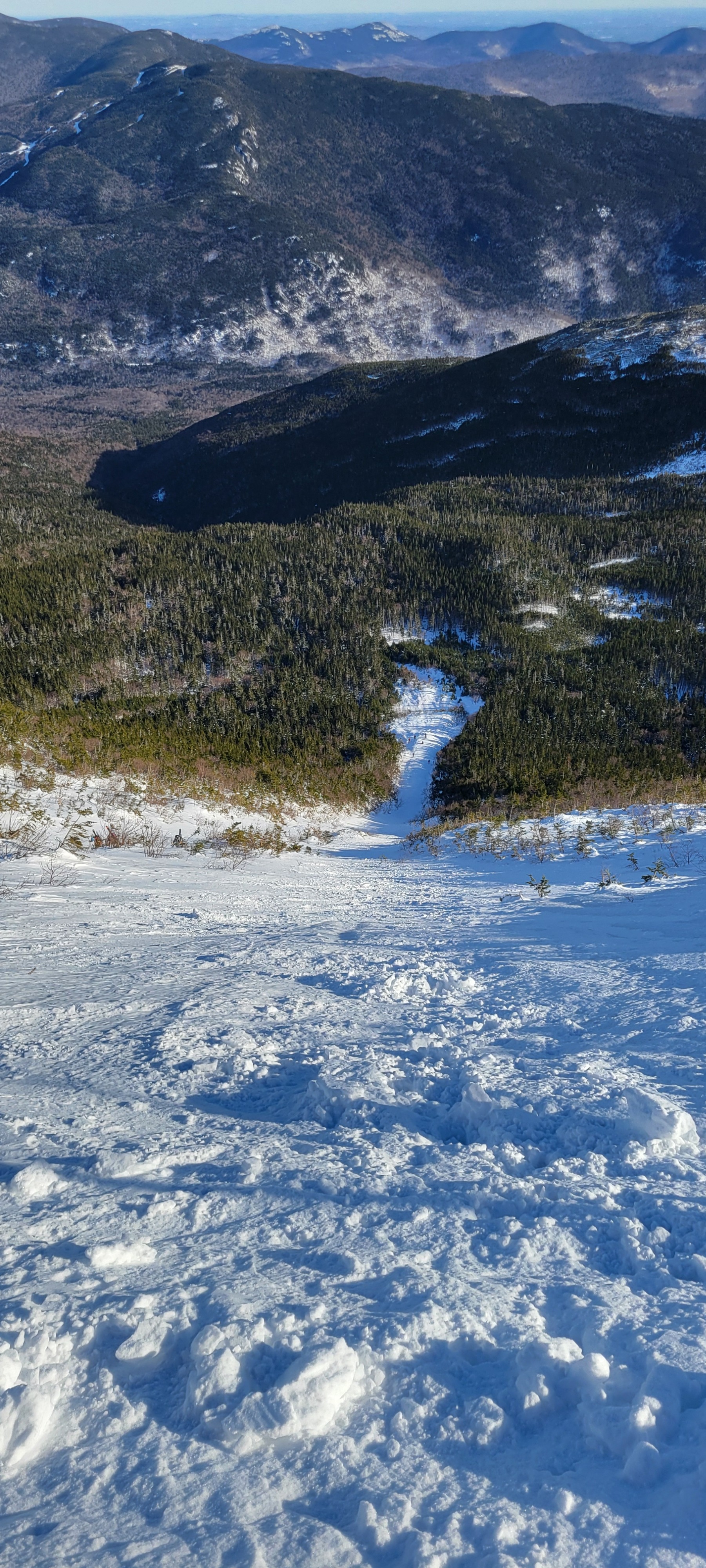
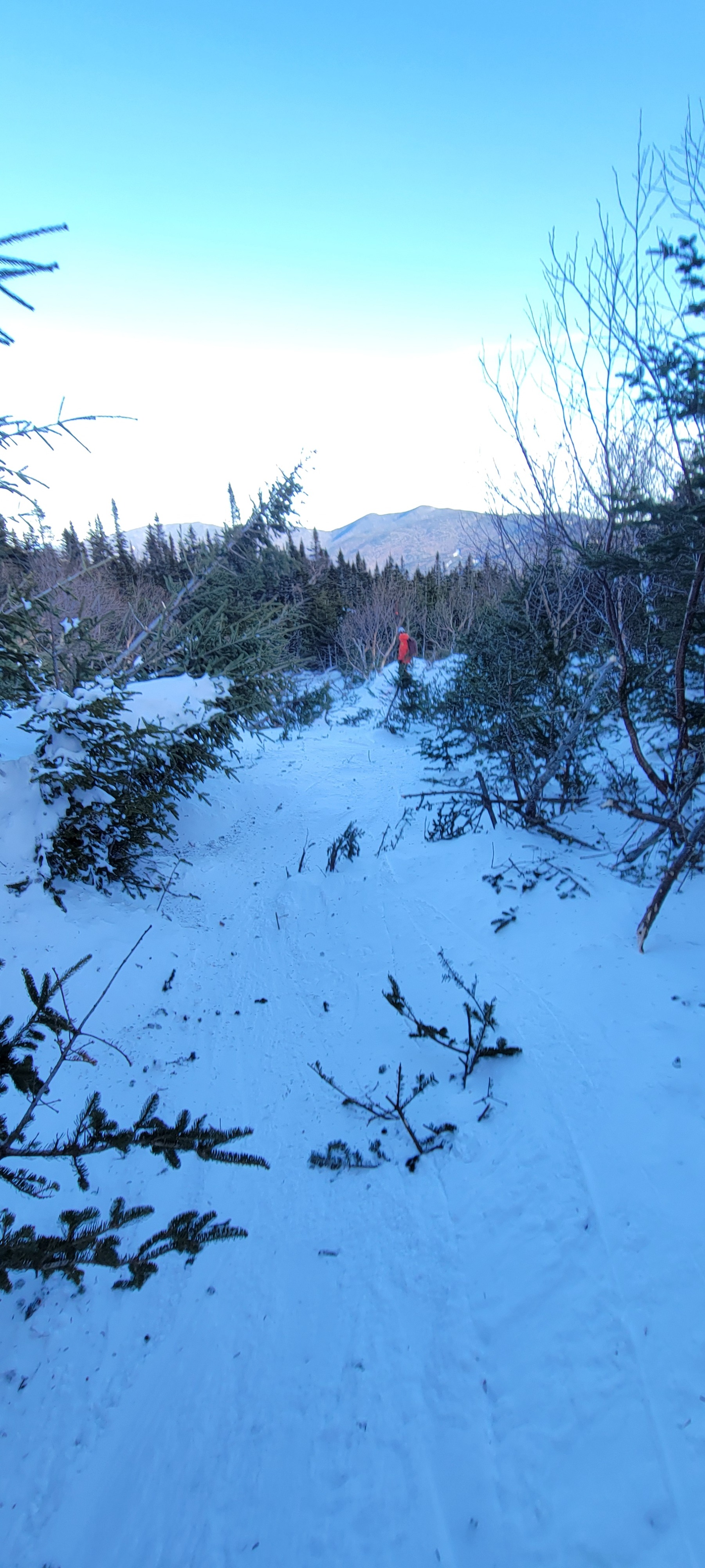
This natural avalanche is suspected to have occured at some point between December 25th and December 26th after about 11 inches of new snowfall during the December 23rd - December 25th timeframe in combination with strong winds loading easterly terrain starting on December 25th. The snowpack prior to this new snow was a mix of exposed rain crust from December 19th and harder, old wind slabs build from snowfall and wind on the 19th - 22nd. Leading up to this event, observers found old windslabs to be stubborn to propogate, but did find poor snowpack structure in areas that harbored deeper snow on top of the 12/19 rain crust. After investigation, this avalanche appears to have propagated on a mid-slab density change about 40cm below the snow surface and quickly stepped down to a second weak layer sitting near the interface of the 12/19 rain crust. In the center of the gully, and the primary avalanche track, it was clear that the avalanche failed down to this icy, slick bed surface. Near the flanks of this avalanche, there was still evidence of older wind slab on top of this rain crust, where the avalanche did not appear to have enough force at the edges to step down into this lower weak layer. It's worth noting that its likely the middle section of Main Gulley was harboring a thick old wind slab based on the loading patterns that were observed during this period in other wind-protected areas. An ECT conducted at the crown line confirmed the presence of two distinct layers. The first one failing at 40cm below the snow surface (ECTP22) and the second one easily propagating with a planar character with a subsequent shovel shear. The crown of this avalanche extended about 350 feet across the top of the Main Gully starting zone. The crown height down to the 12/19 rain crust was consistently 60cm thick. The avalanche ran about 850 vertical feet over a horizontal run of over 1000 feet. Based on the remnants of snow caked onto the uphill side of the trees in the runout zone, small trees that were snapped and destroyed, and the length of the run, crossing the ski trail and traveling to the elevation of the rescue cache, this appeared to be a fast moving avalanche with hard debris and a significant air blast. The debris ranged from 90cm to 1.6m in depth, with the deepest debris piles observed closer to the top of the deposition zone and the shallowest debris piles observed closer to the terminus and across the ski trail.