
Quick report
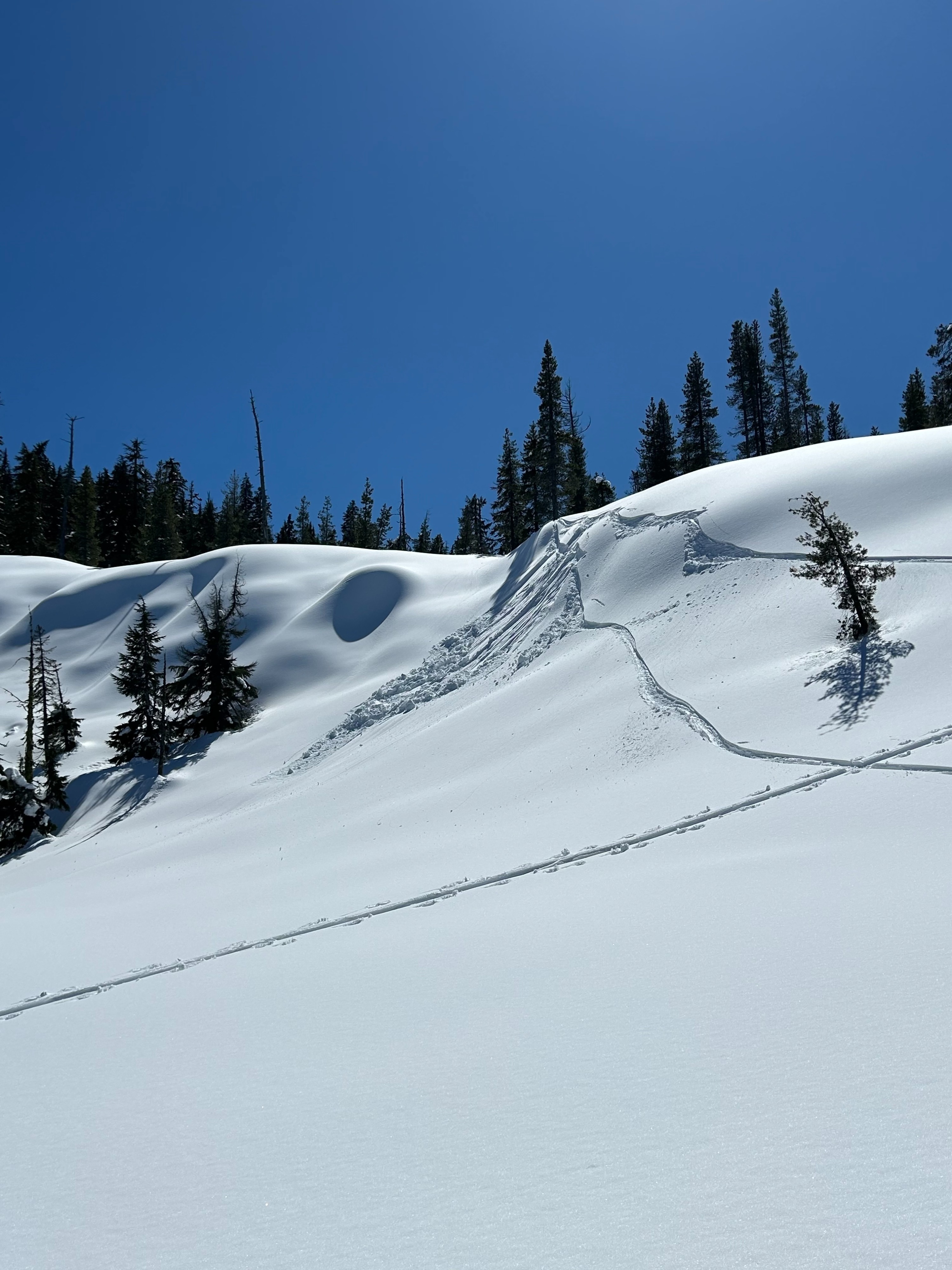
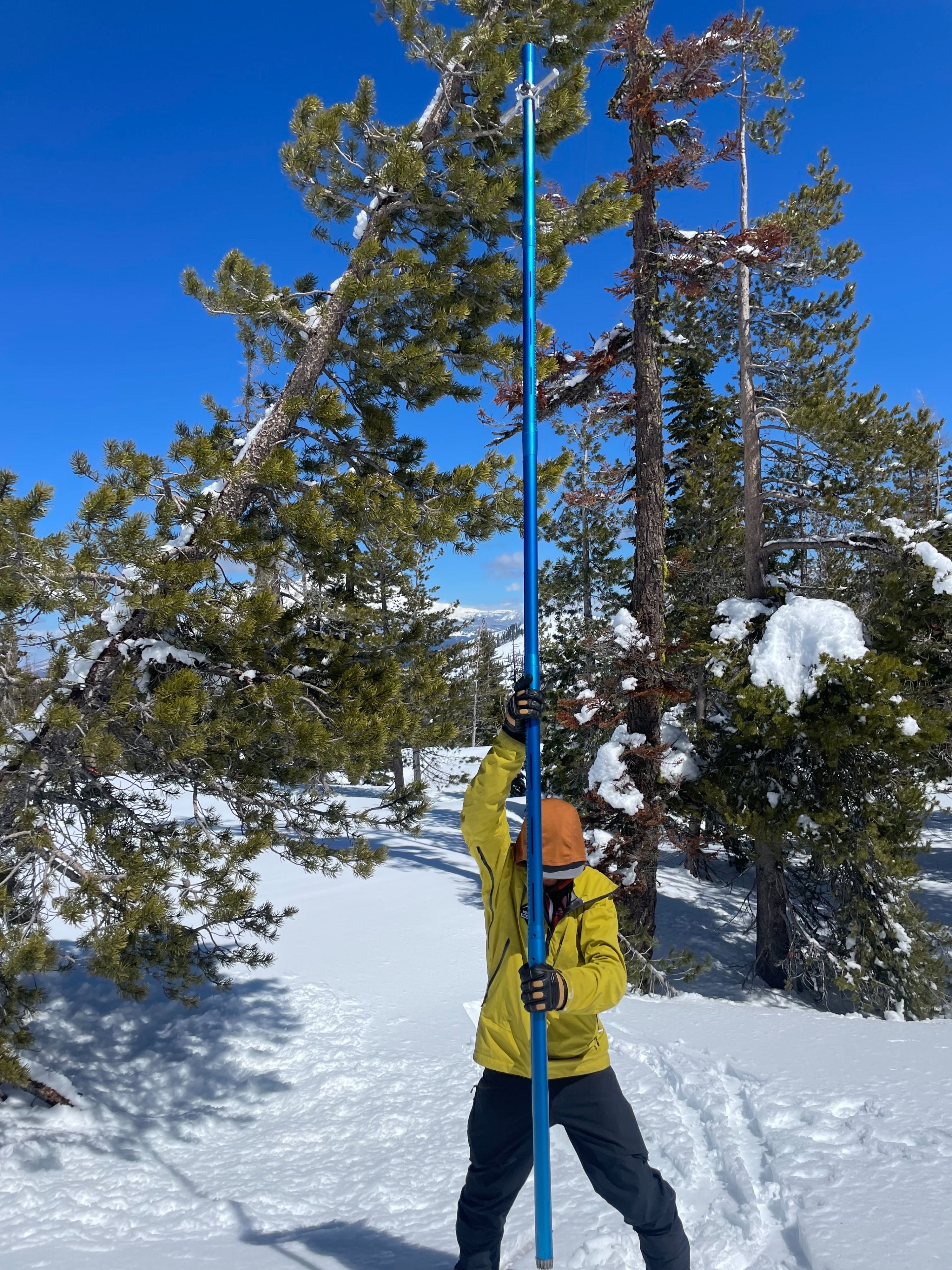
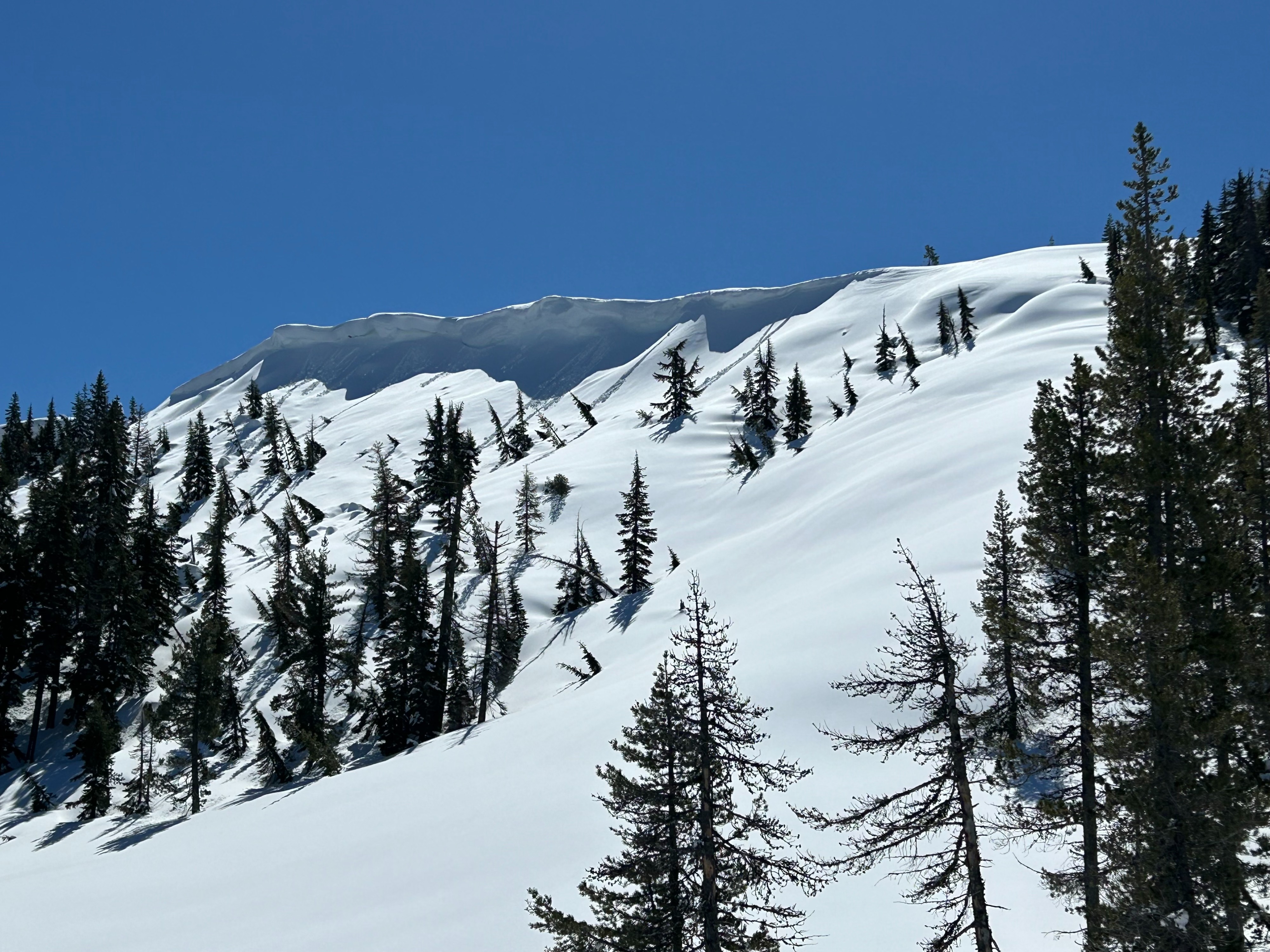
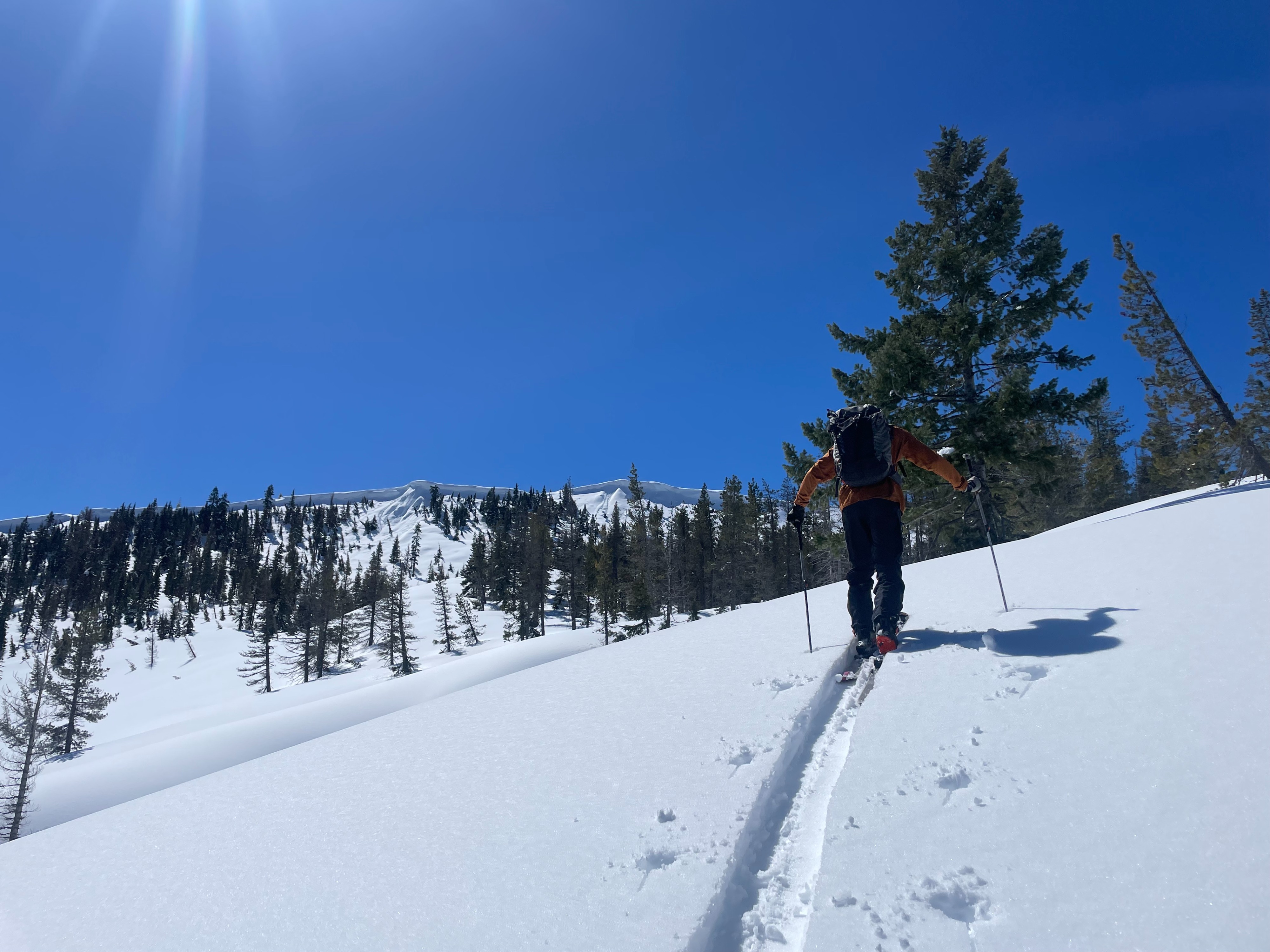
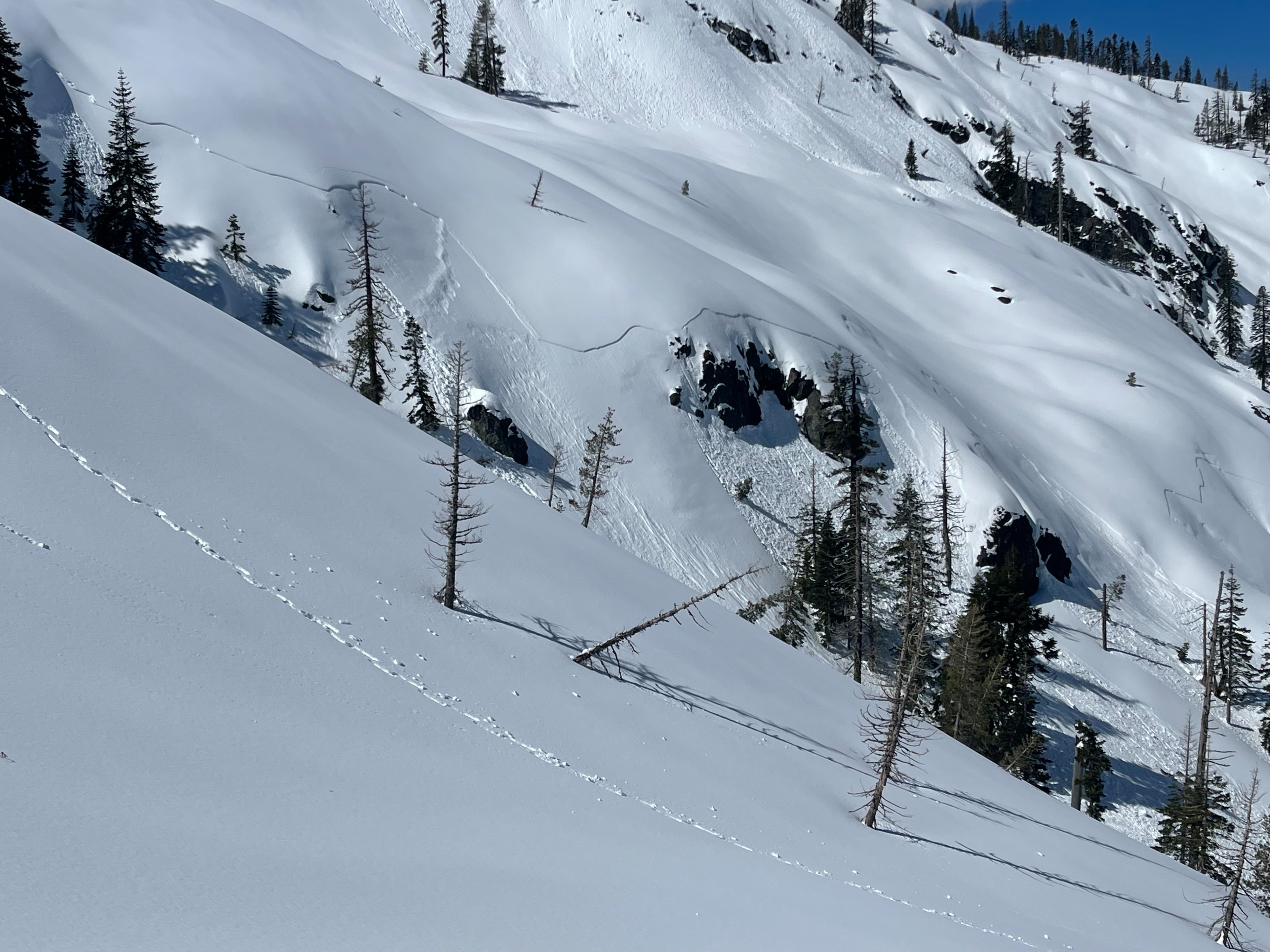
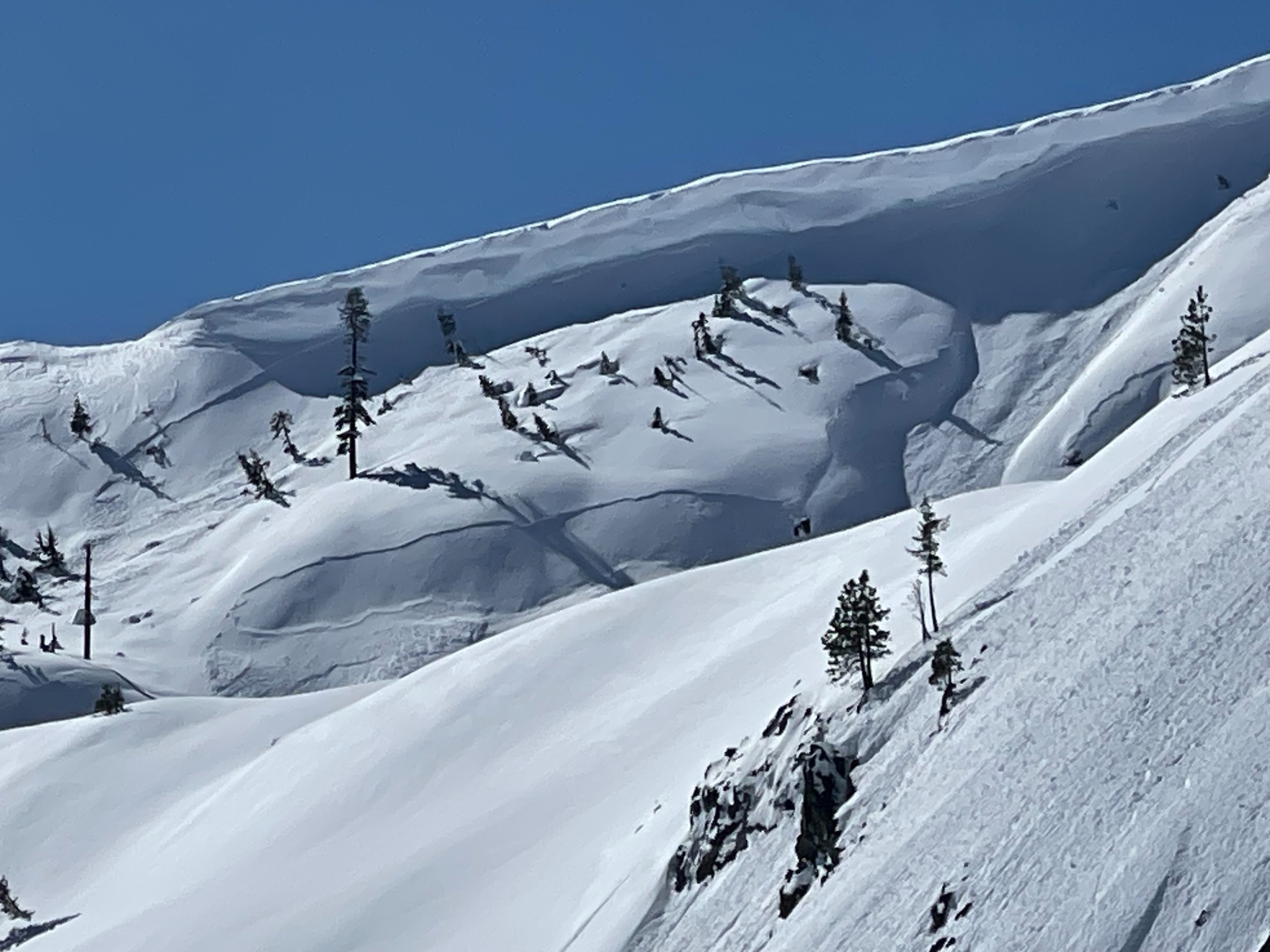
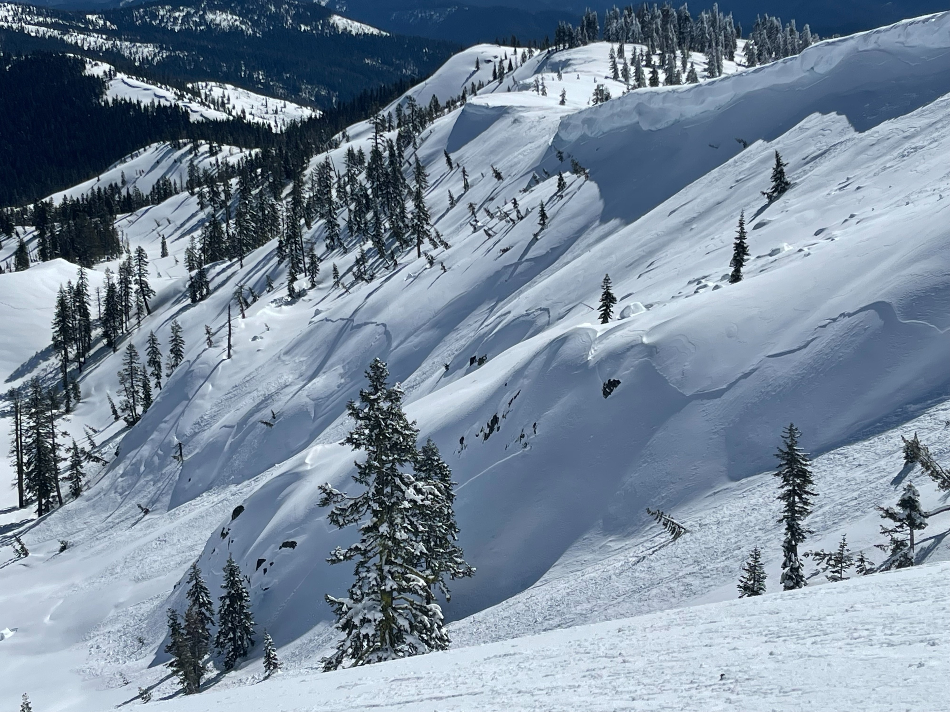
Today, Eric and I set out to conduct the Grey Rocks Snow Survey, something we do 4 times per winter. Along our travels, we also searched for signs of developing wet loose instabilities. The snow survey went well, with the deepest core measuring 150 inches. This is good news, because the Grey Rocks site provides crucial data to the state of California regarding how much available water there is. Overall, 150 inches is a good result. The strong sunlight, and warm temperatures allowed snow surfaces to soften quickly. While most shaded aspects, stayed relatively firm, solar aspects showed growing signs of instability. A small wet loose avalanche was triggered below treeline, on a southeast aspect. Warming instabilities will be a growing problem in the coming days. We were also able to get some photos of the shallow storm slab avalanches that occurred at Castle Lake this week. Check out the photos!
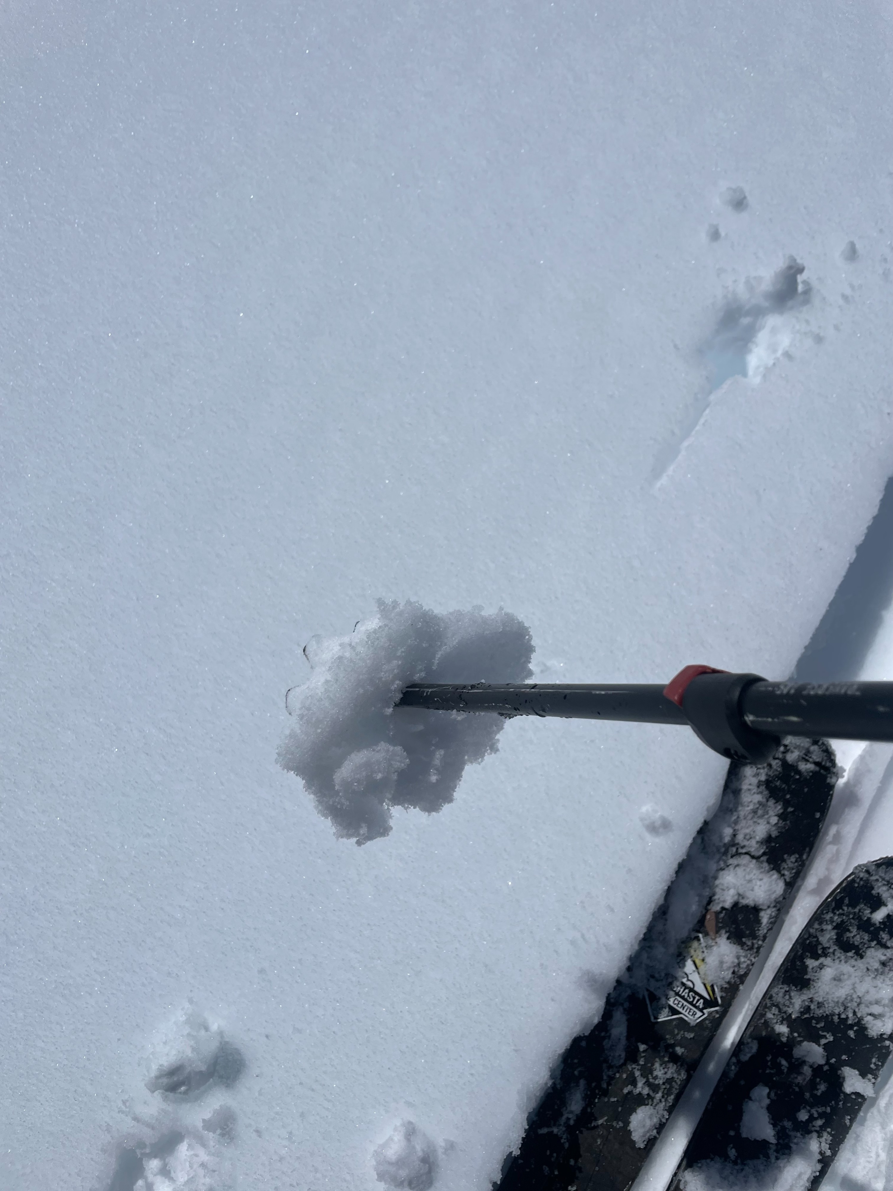
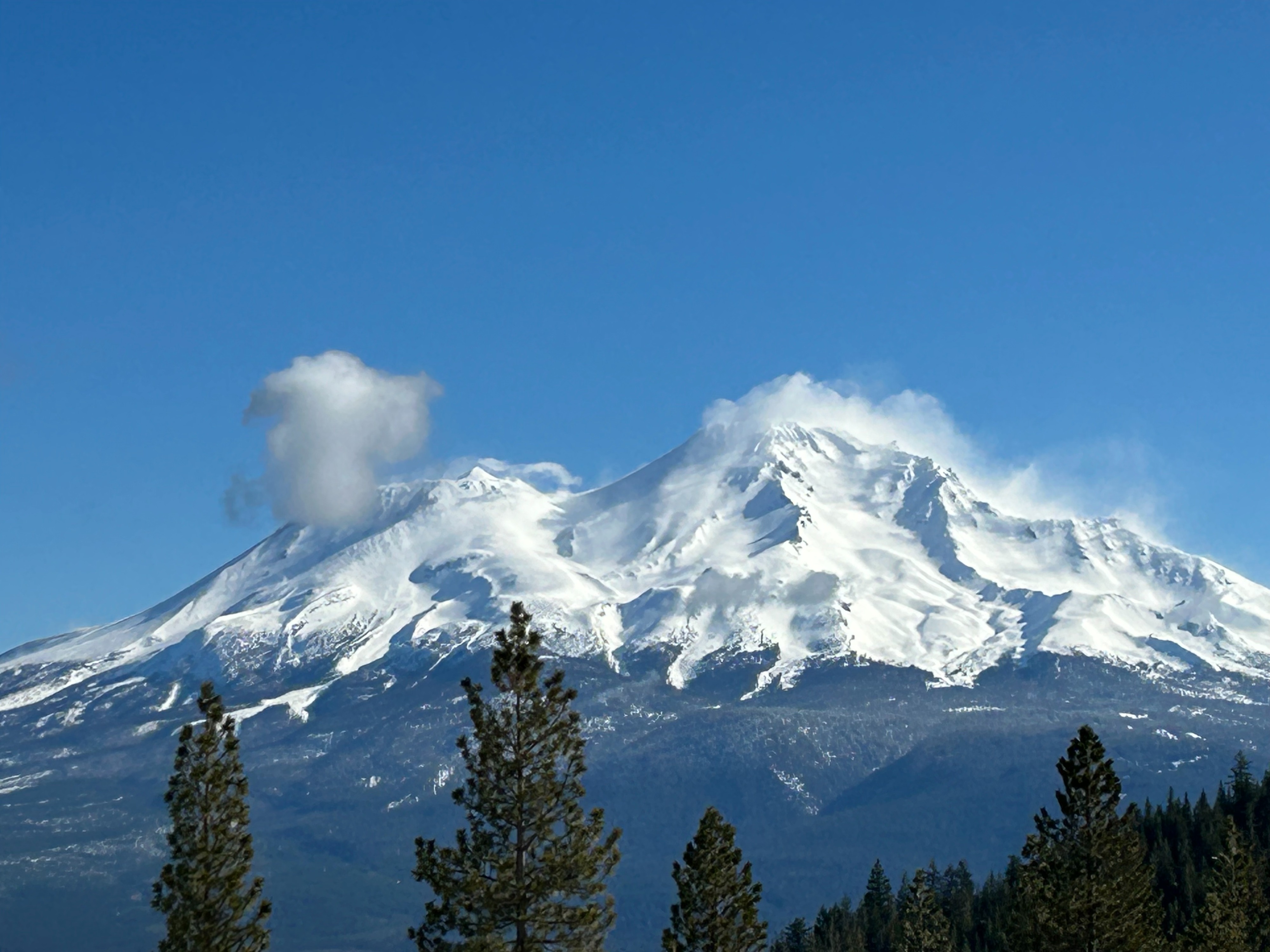
Observations are from below treeline terrain, with a max elevation of 6,200 feet. At this elevation, wind had very no impact on terrain. No wind instabilities were observed. We could see, however, the strong northerly winds quickly transporting snow onto leeward aspects all across Mount Shasta. Warming instabilities became quite obvious as the day progressed. Throughout the visible terrain, roller balls, small point releases, and small cornice collapses could be see on majority of slopes and aspects. A small wet loose avalanche was triggered on a SE aspect test slope.Weather
- Air Temp
- 40
- Cloud Cover
- clear
- Wind Loading
- none
- Recent Snowfall
- 0
- Snow Avail For Transport
- small smounts
Clear, and sunny skies. Winds were mostly light with variable direction. At times, there was no noticeable wind. That being said, strong northerly winds could be seen ripping over Mount Shasta. Temperatures quickly climbed well above freezing.
Snowpack
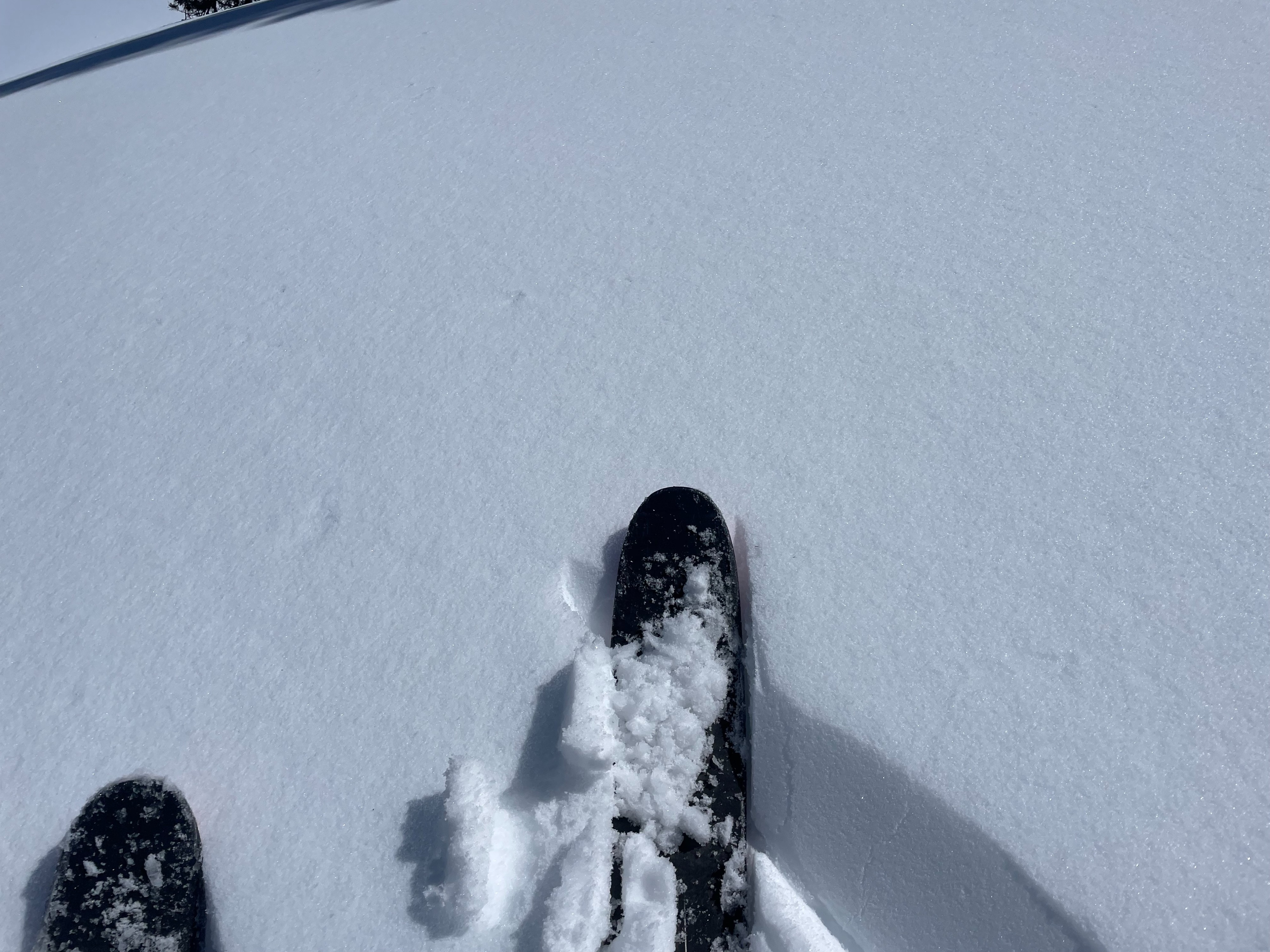
All observed snow surfaces became saturated by midafternoon. Even shaded aspects, though still quite firm, became soft at the surface. This will likely form a surface crust across all aspects after an overnight refreeze (tonight).