
Quick report
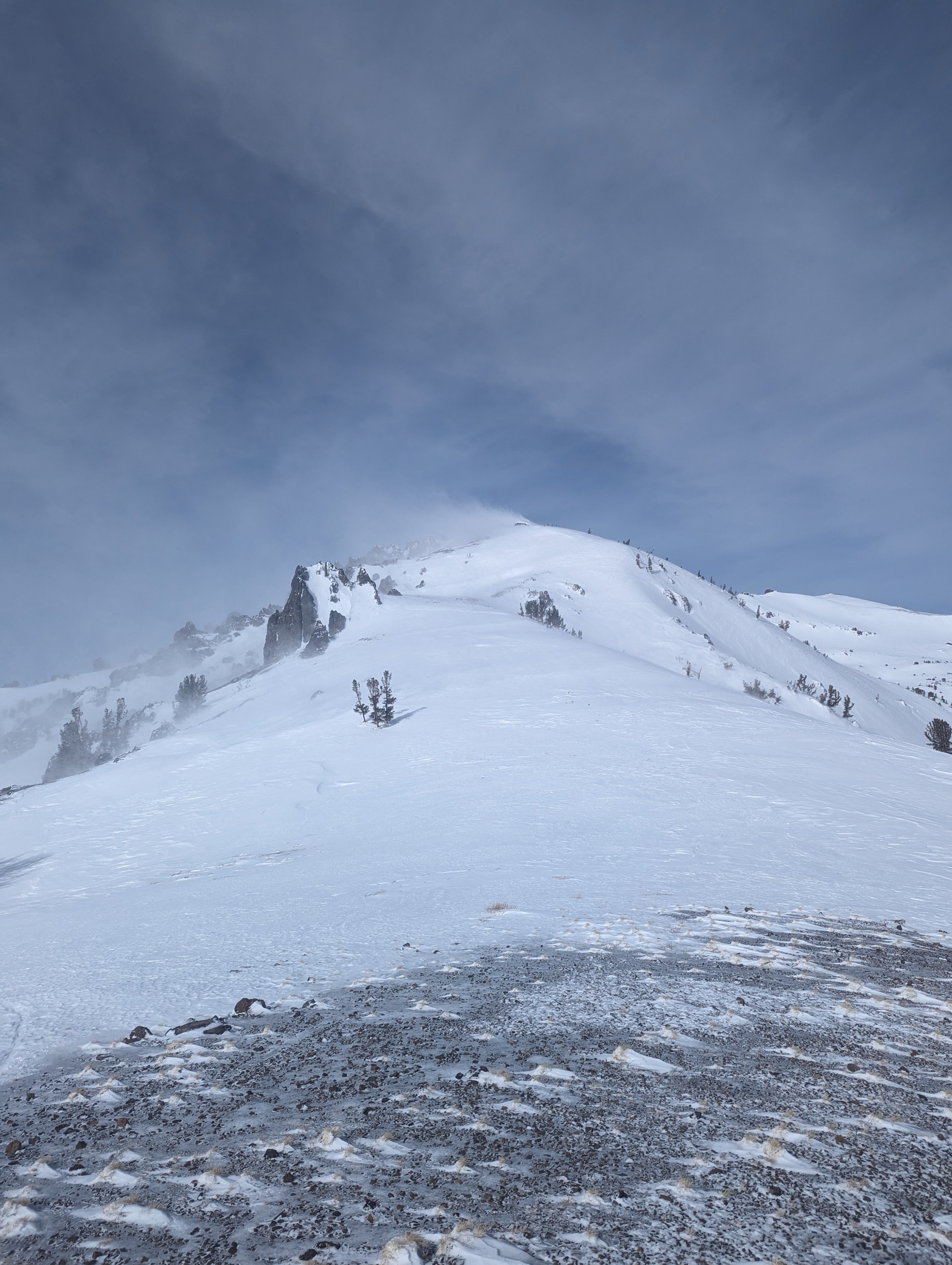
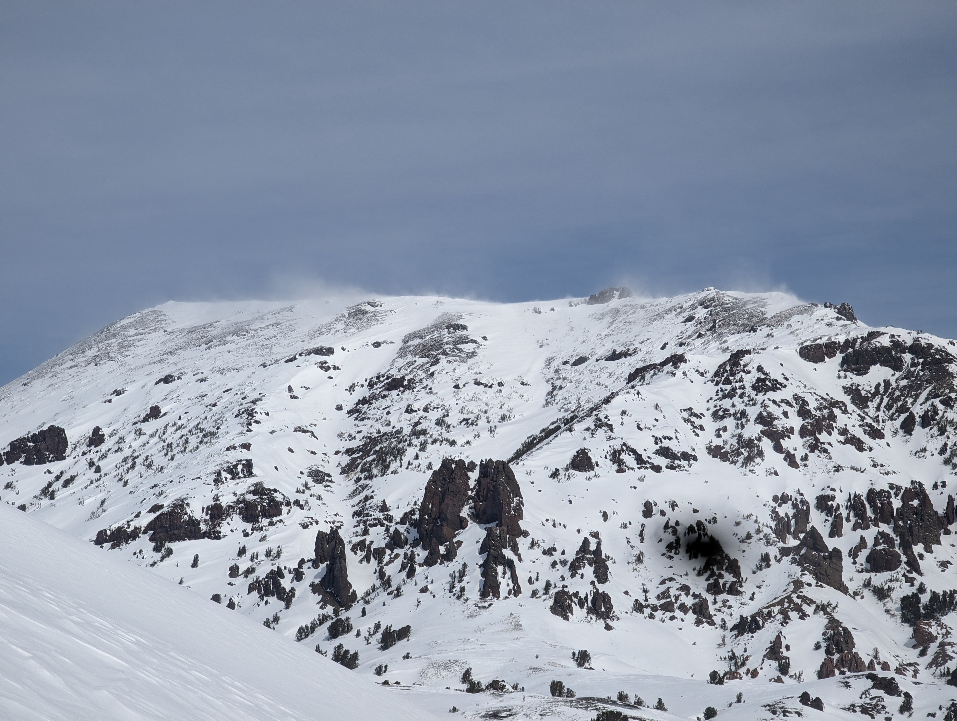
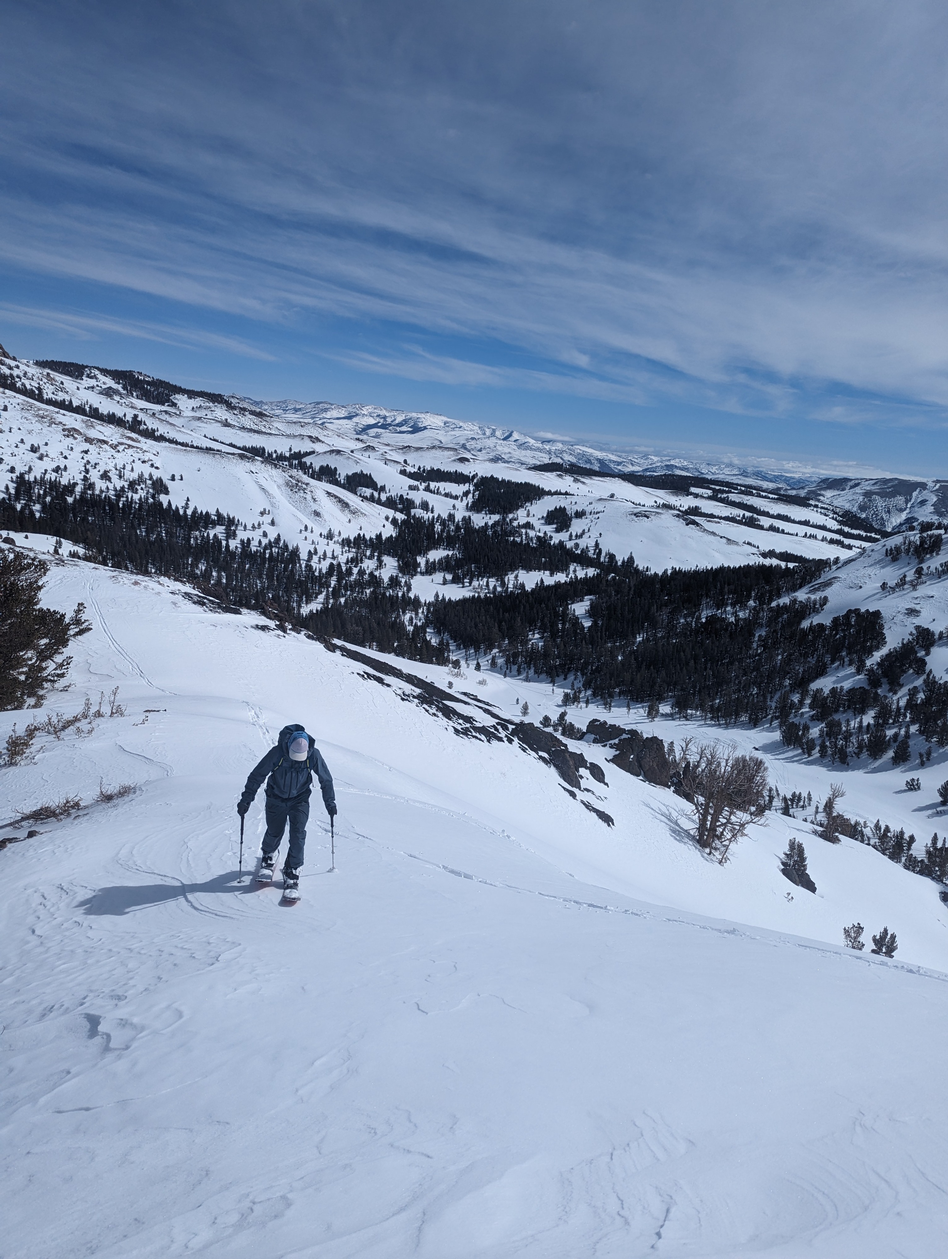
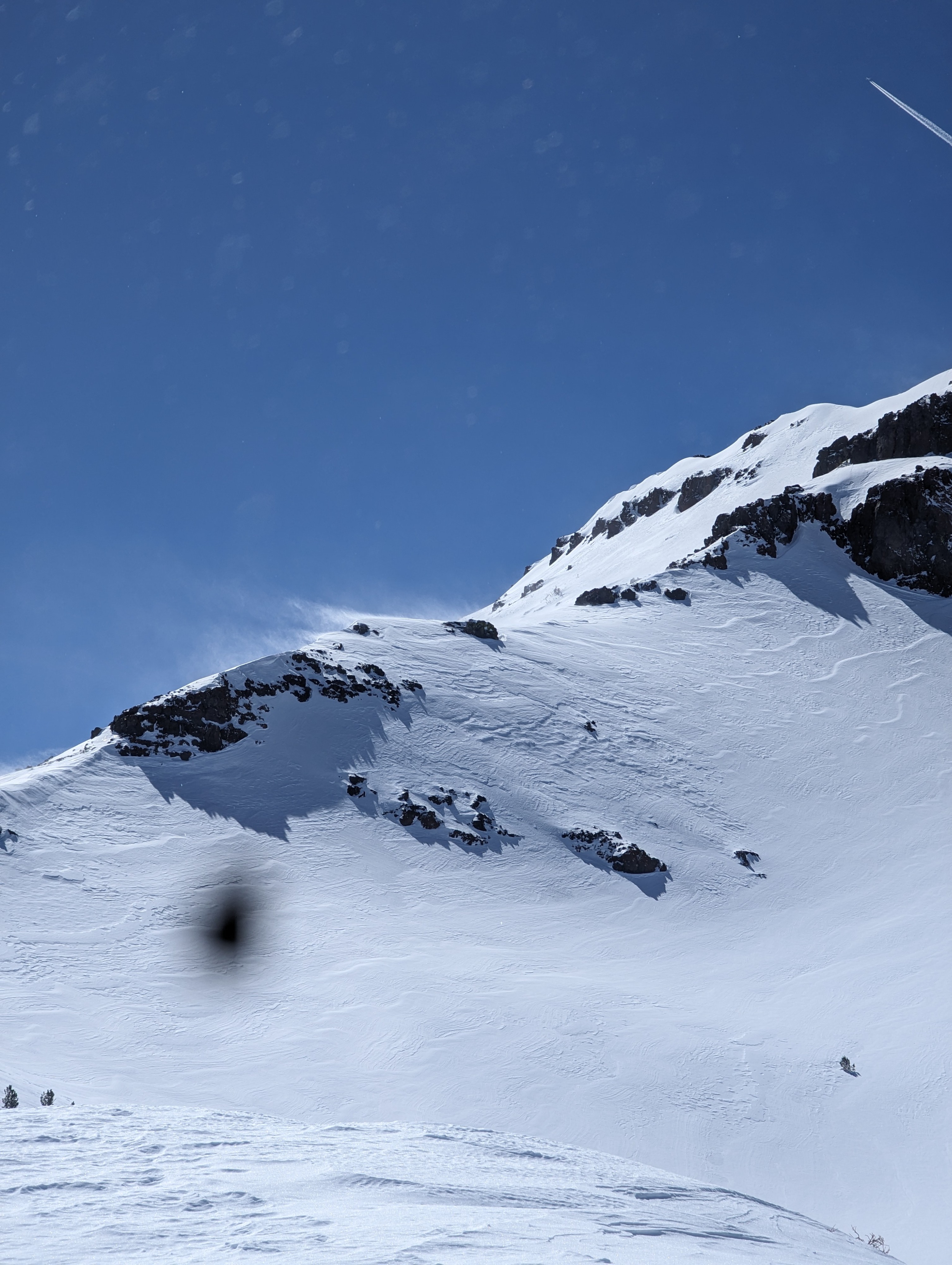
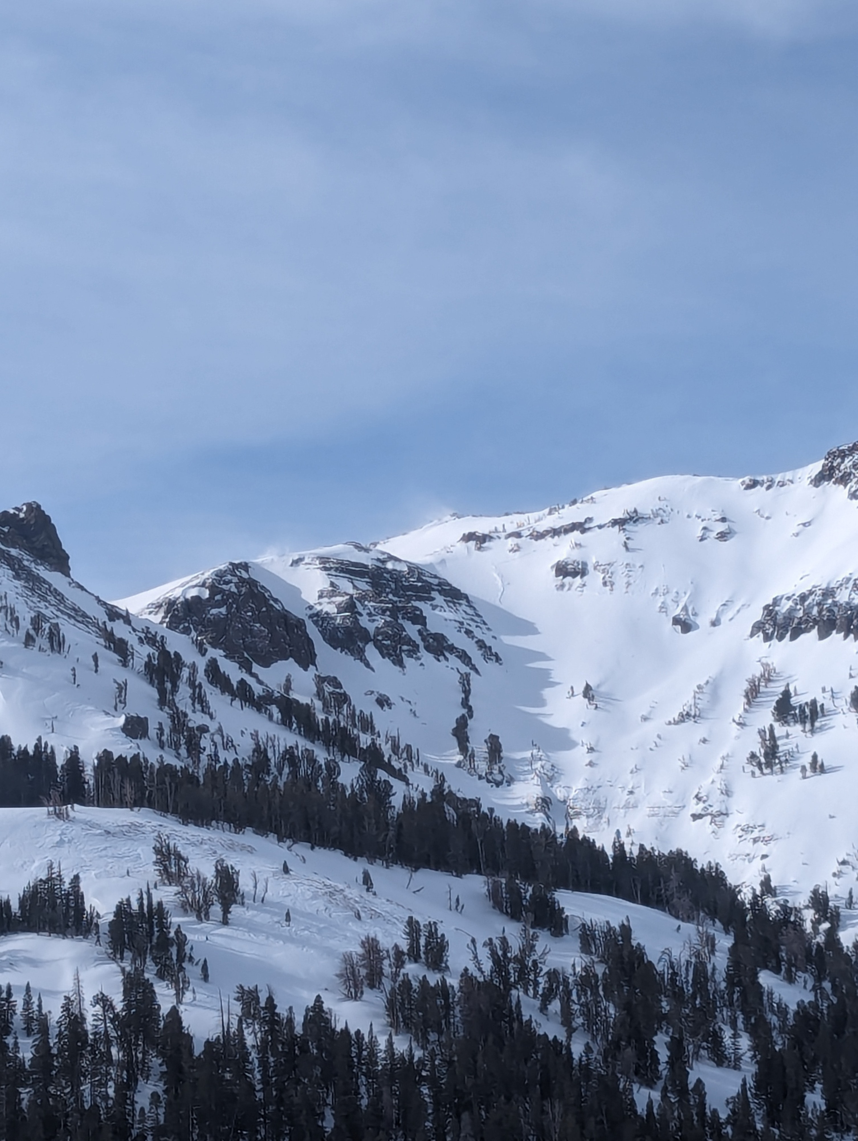
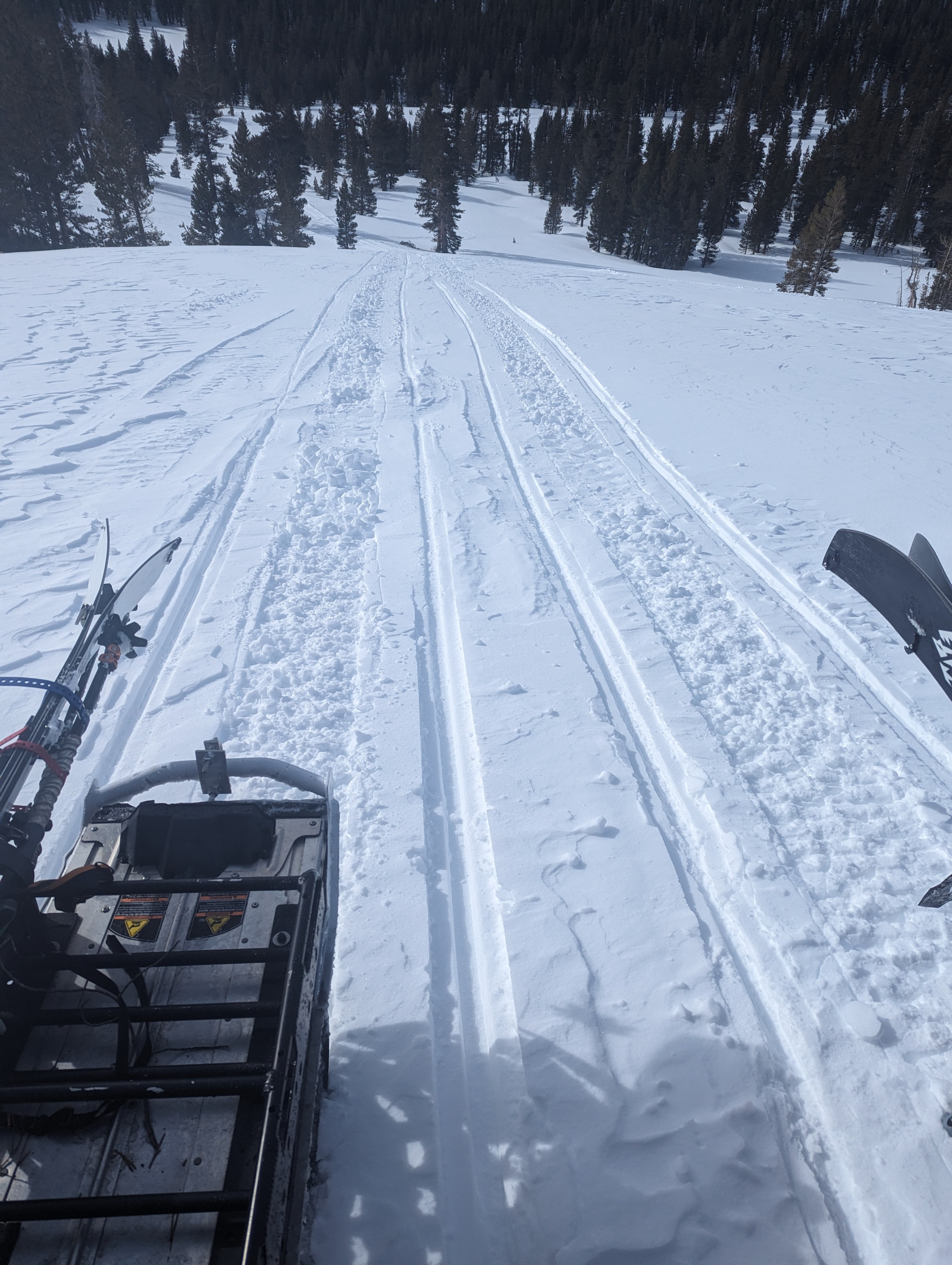
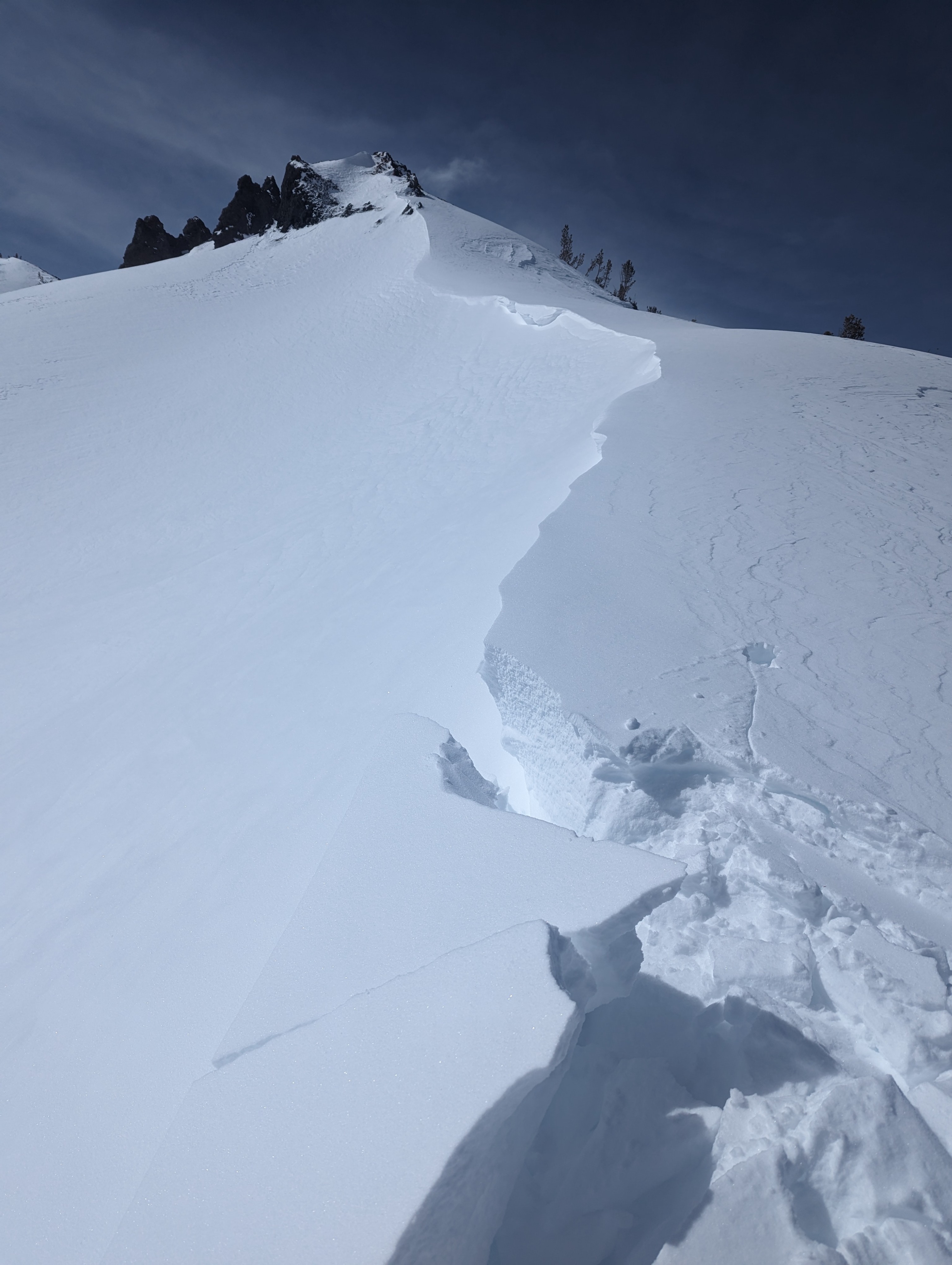
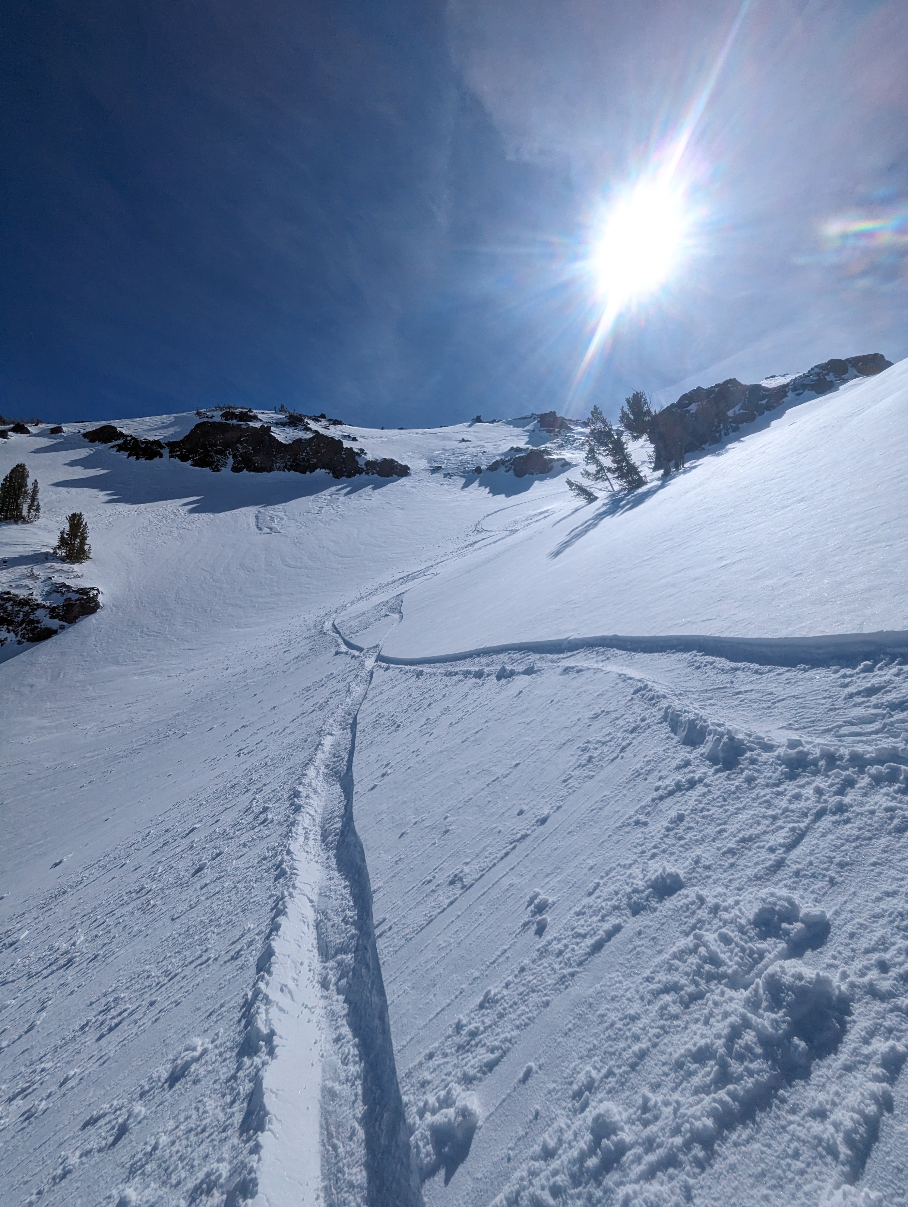
Yesterday, we toured in the Mt Emma area which is a bit removed from the Sierra Crest. We saw plenty of wind but minimal signs of new snow. We had questions about the total amount of snowfall that accumulated on the Crest at higher elevations, so we toured in the Voodoo Bowl area today. The strong winds were from the SW yesterday but early this morning shifted to the NE. The goal today was to see how much new snow was in the BWRA and what effects the change in wind direction would have on the terrain. We saw about 4 inches of new snow had fallen recently but any exposed terrain had been scoured by SW winds and the change in NE winds resulted in blowing snow being seen on only the tallest peaks ( Sonora, White, Leavitt, and Stanislaus). We toured the Voodoo bowl due to easy access to multiple aspects. We encountered a mix bag of conditions ranging from hard-packed wind board, soft snow, and small pockets of stubborn wind slab. Ski cuts and test slopes showed no signs of instability, although higher elevations were blowing snow was seen can't be ruled out for more reactive wind slabs. Soft snow remains in some locations and is still avalible for wind transport. with the wind speed increasing tonight new wind slabs may form at lower elevations. NWS Reno has issued a high wind warning for the region with NE winds 30-40 MPH and gusts at ridgelines over 100.
Weather
- Air Temp
- Below 32F
- Cloud Cover
- few
- Wind Loading
- light
- Snow Avail For Transport
- small smounts
Winds shifted today from the SW to the NW. Wind speeds were moderate at ridgelines and light below tree lines. Sunny skies offset the cold NW wind and below 32F air temp.