
Quick report
- Cracking
- specific
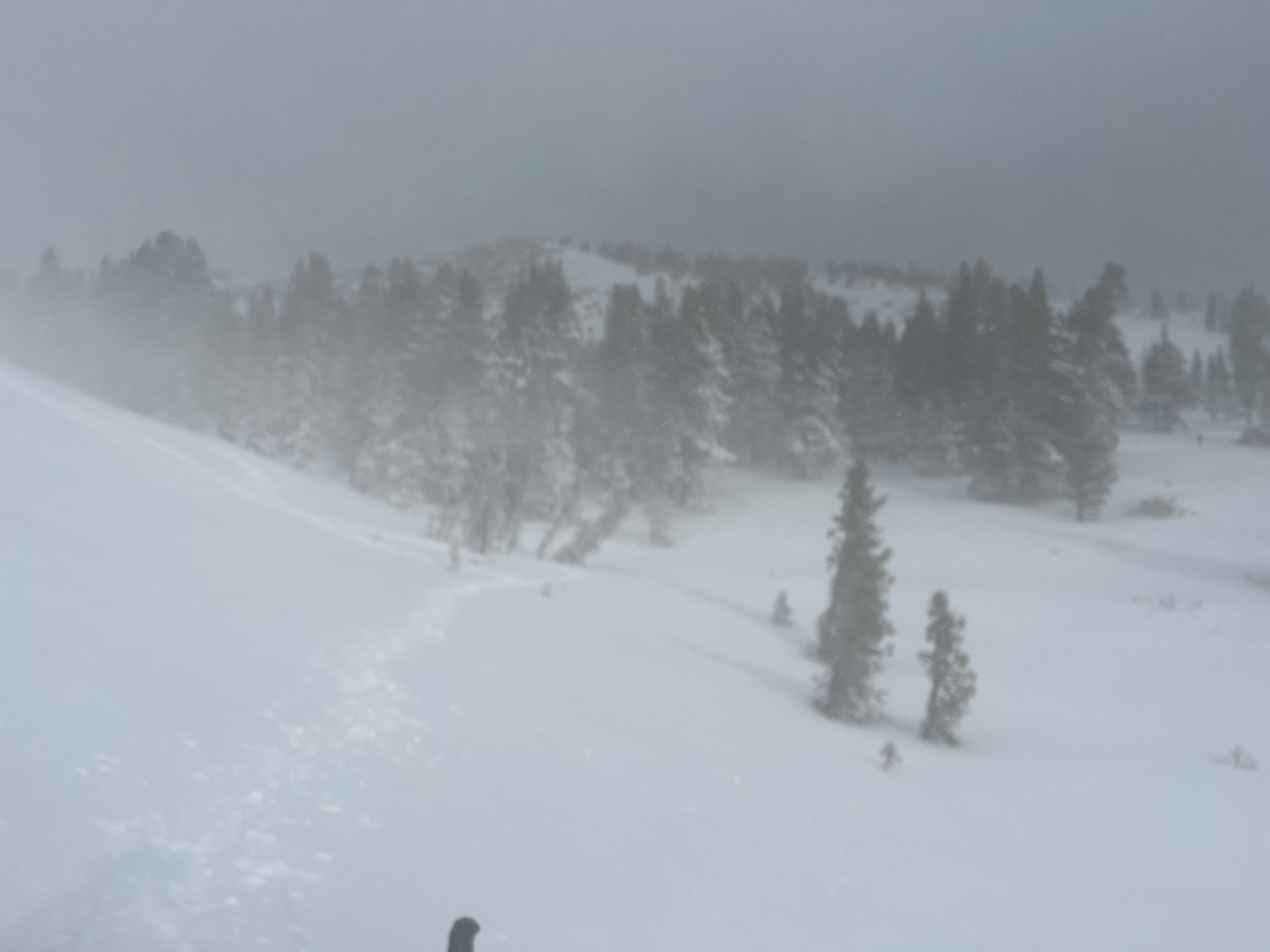
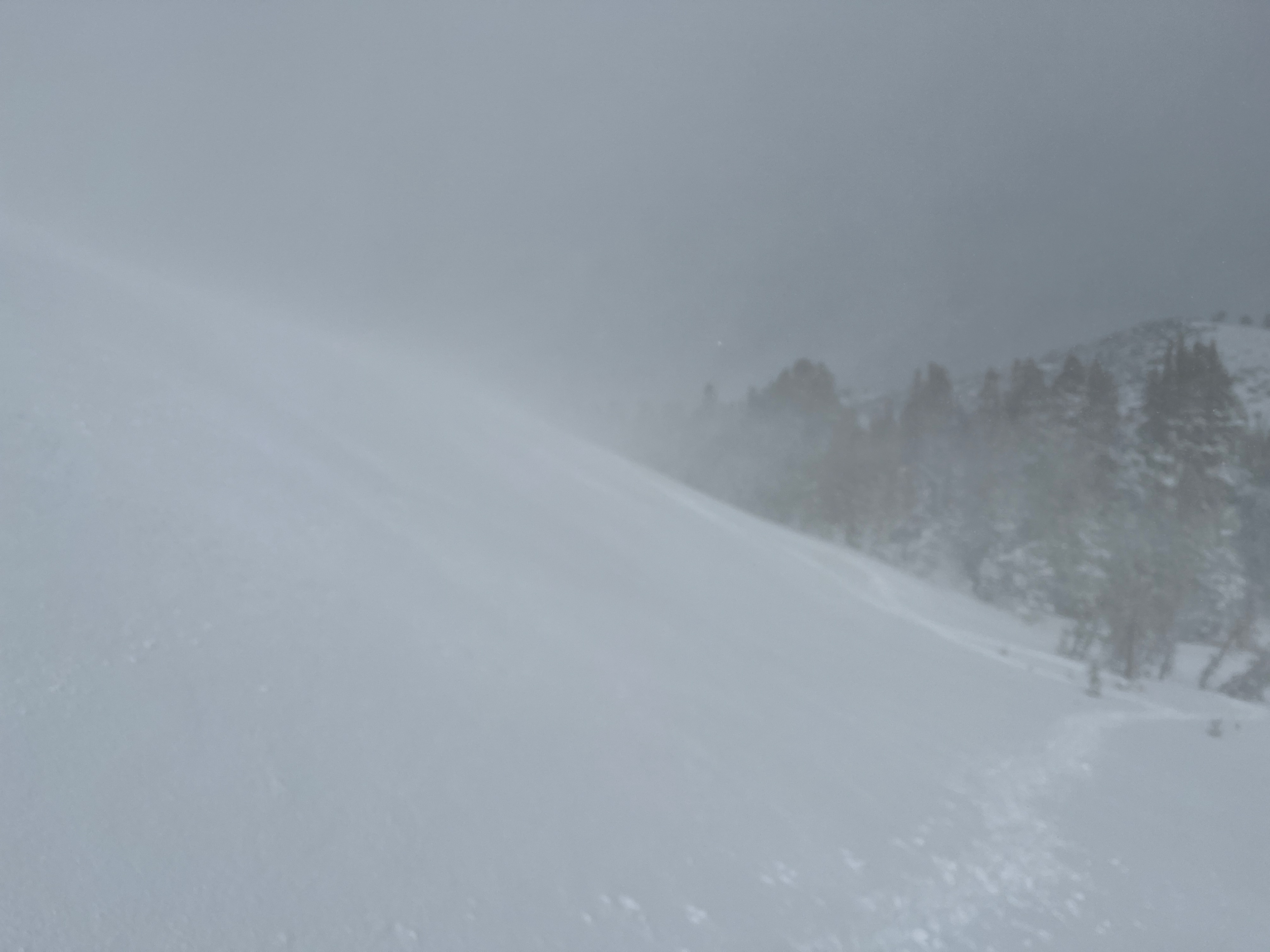
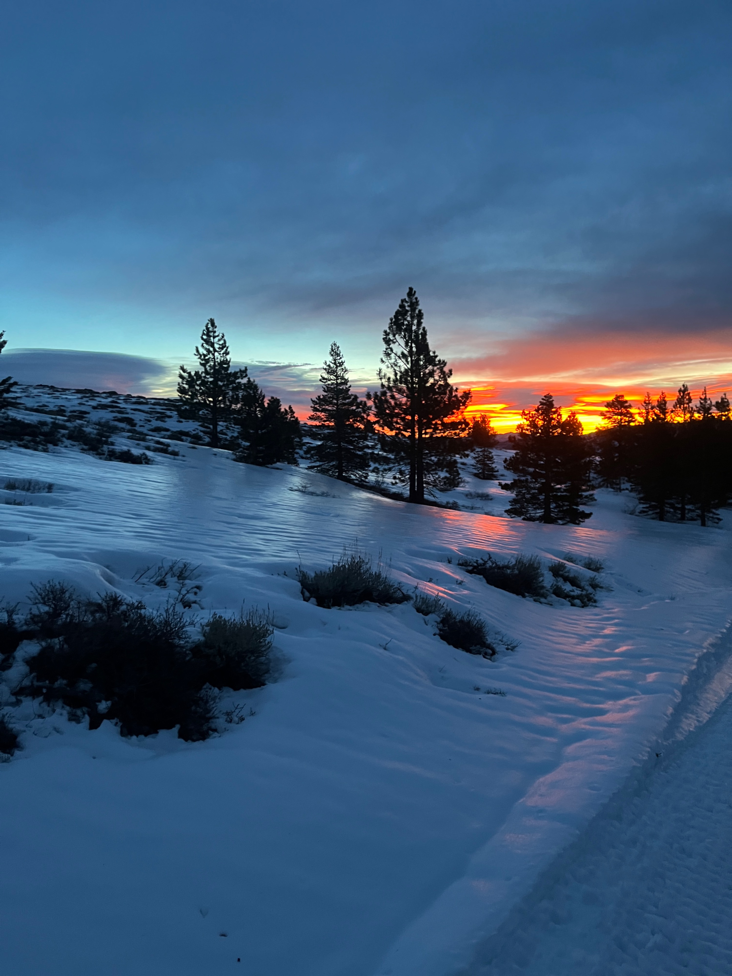
I was out by little wolf creek and upper brownie creek the last 3 days observing the storm from 9400’ to 9200’. The storm started coldish around freezing ending warm well above freezing. My guess is the snow line was up at 10000’ at the warmest point of the storm. Wind was consistently from the SW and all N, NE, and E faces were loading with snow. By today it had rained higher than 9200, and then froze this AM. Some less then ideal skiing below 10000’ and multiple different layers in the top 50cm of the snow pack with 20-30cm of new snow.
Avalanche
- Size
- D1
- Aspect
- NE
- Trigger
- AI
- Elevation
- 9400 ft
Small wind slab formed on the S side of little wolf creek. It had just started snow about an hour prior and with the wind and new snow a small slab formed. Two hours prior to the small avalanche we tested the slope with no effect, which later triggered with steps above the slope. Smaller than D1, slab was only 2-3 inches thick and released only 4-5 feet.