
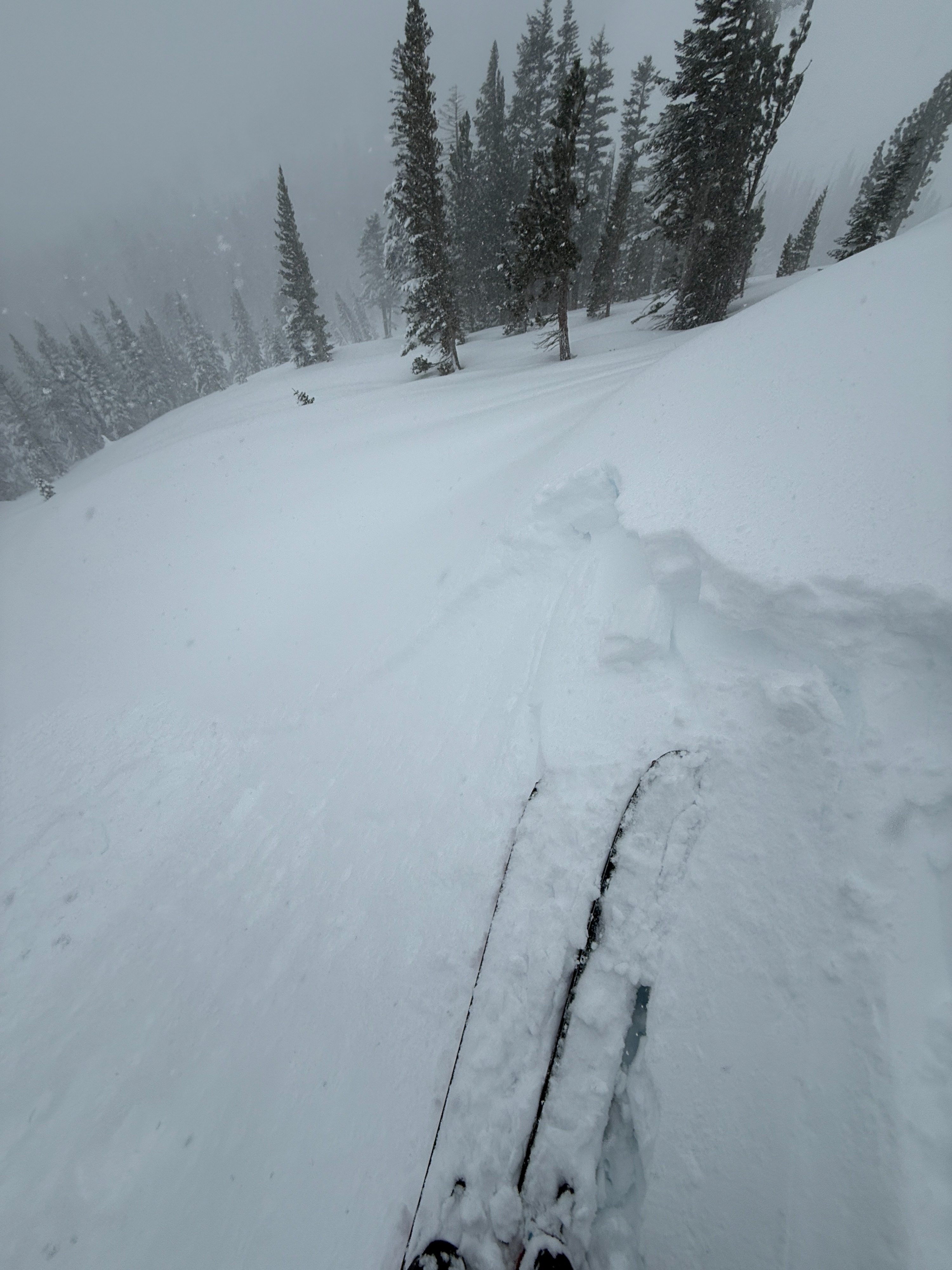
Quick report
- Cracking
- specific
I went for a quick tour of the Mill City area this afternoon to see how this storm is stacking up.
- Heavy snow continued throughout the day today.
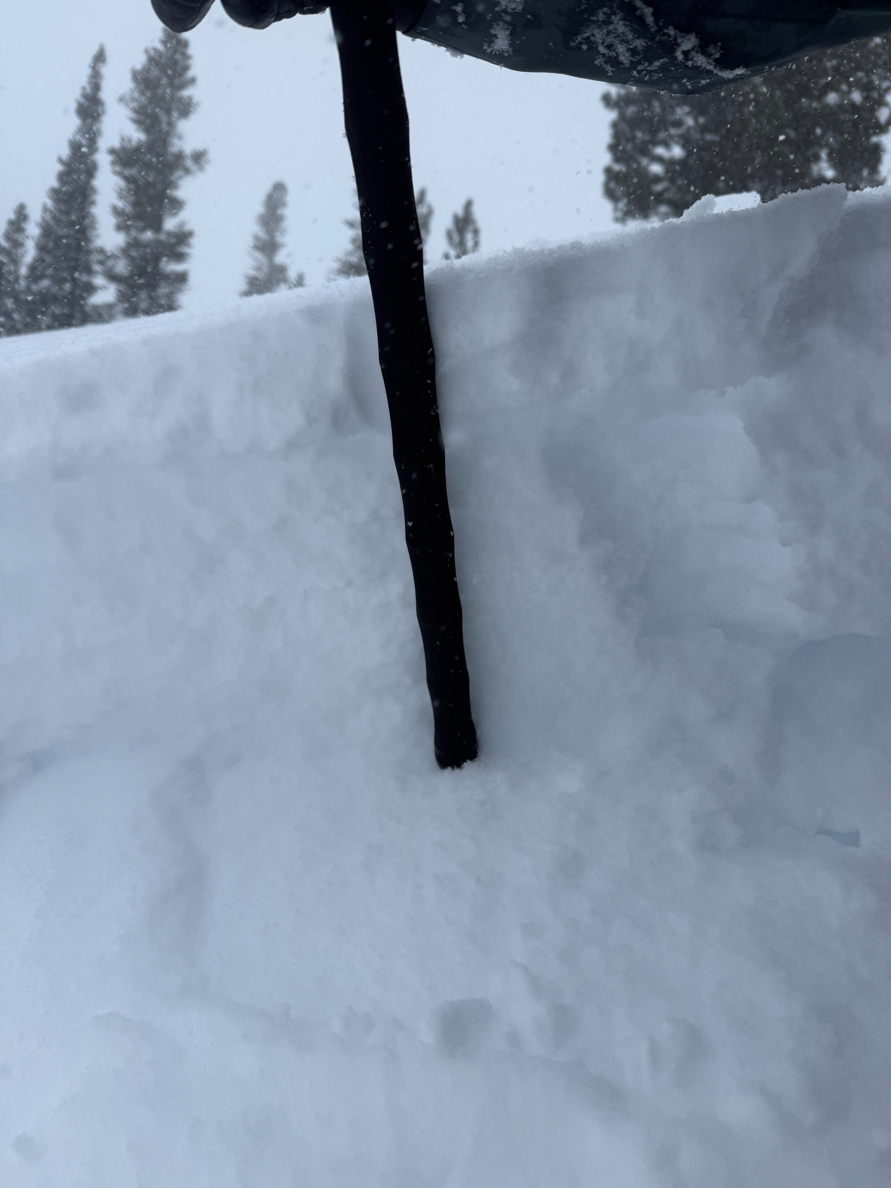
- Things cooled down today, and the new snow is mostly right-side up.
- I measured about 60 cm on top of the rain crust from 1/1
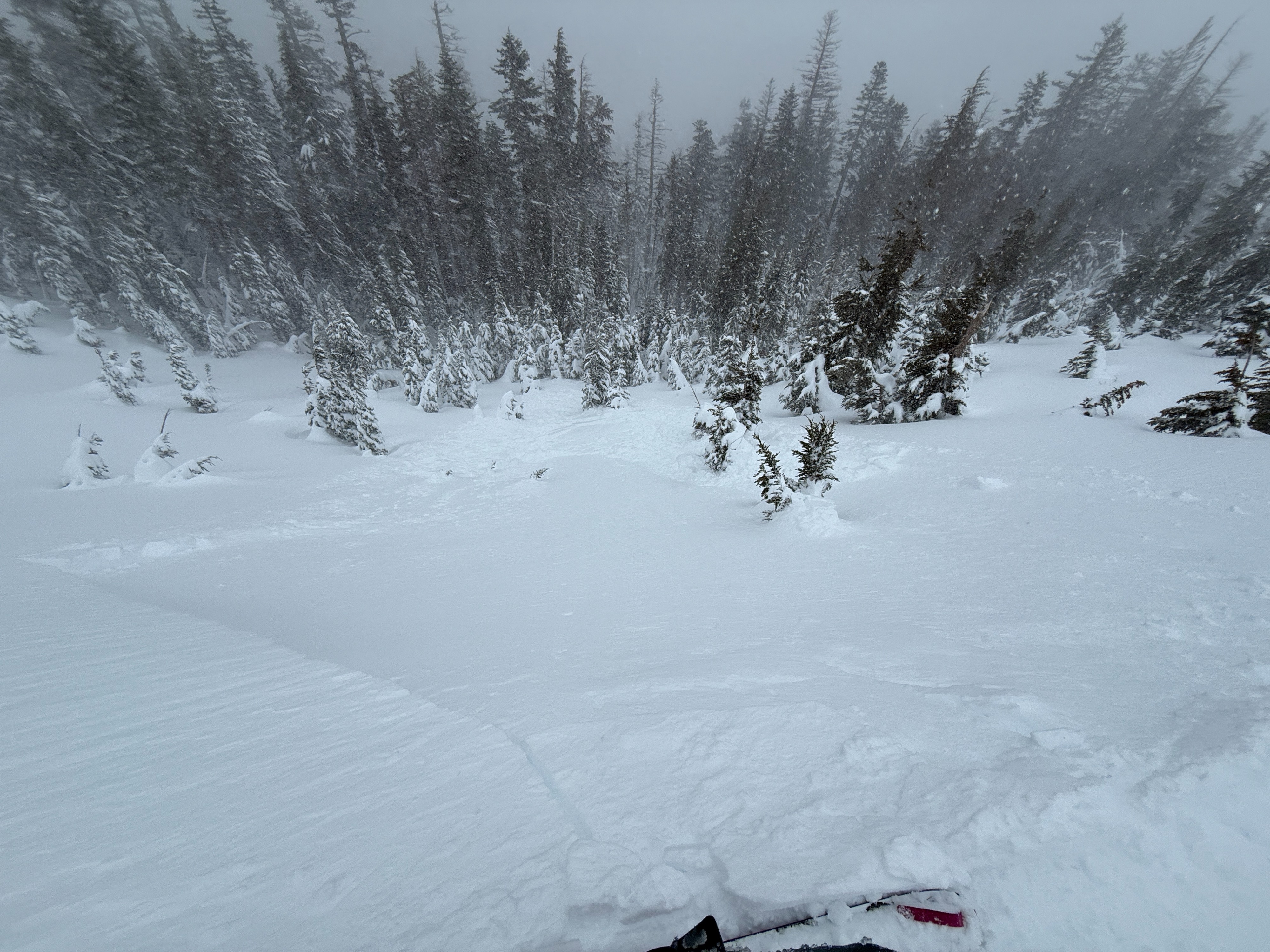
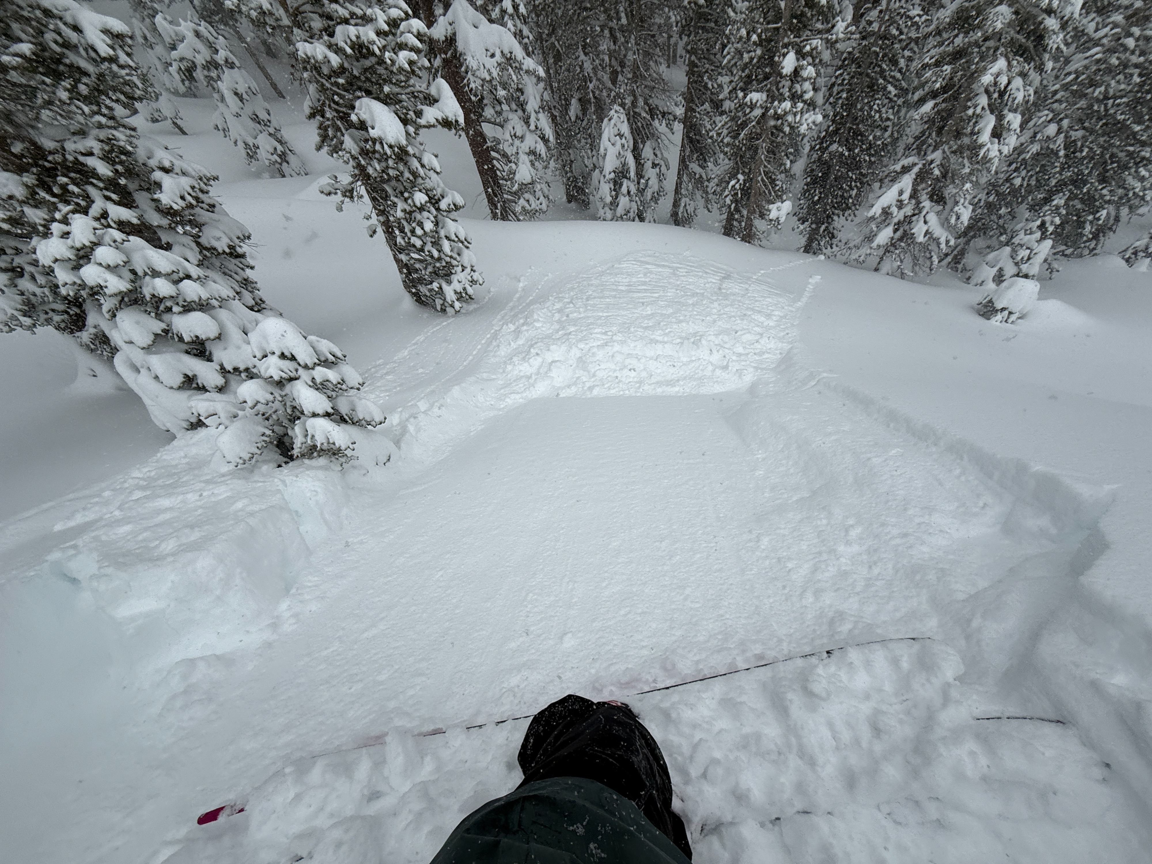
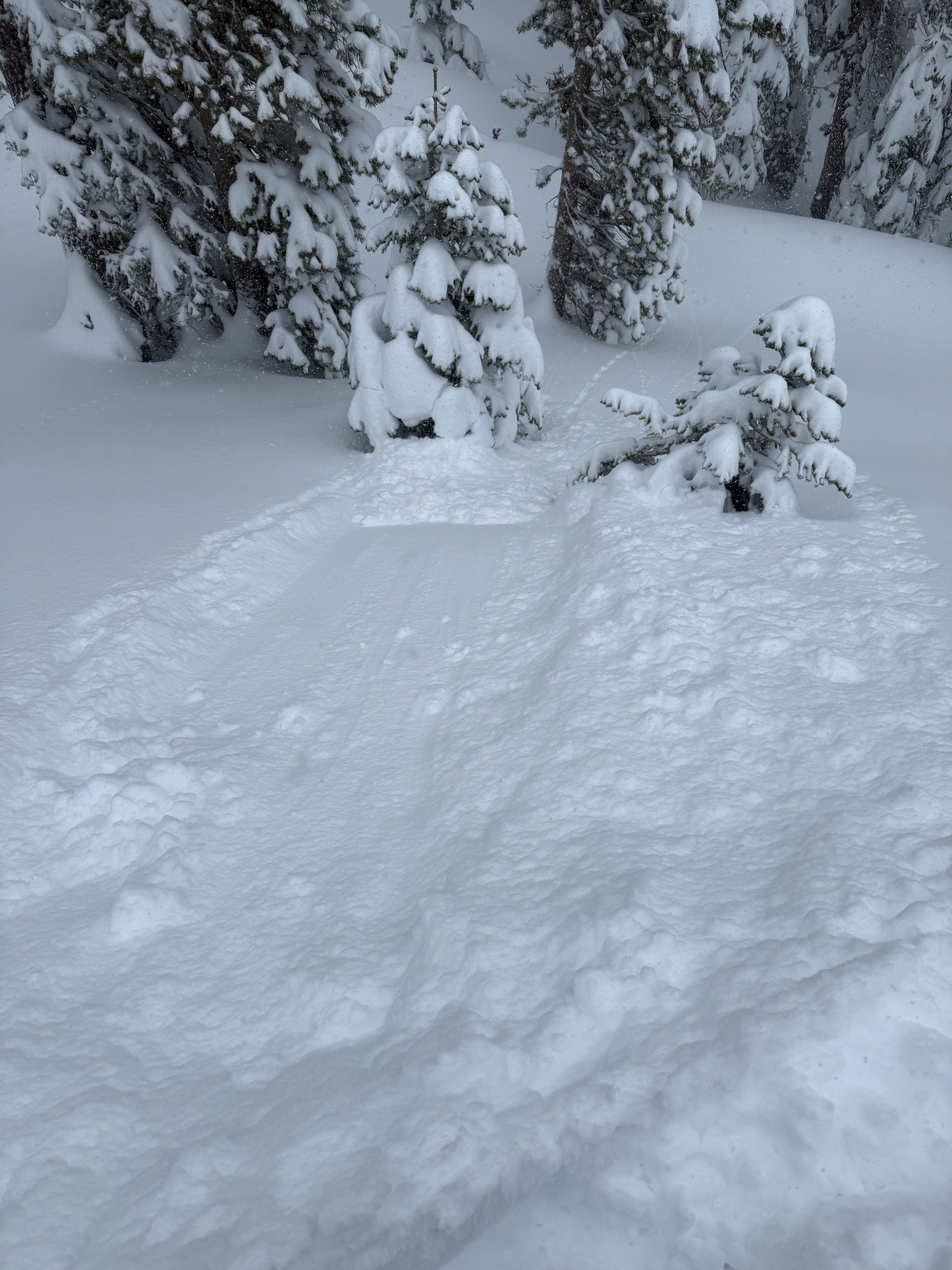
- I triggered several small avalanches today on small test slopes between 8600' and 8800' -- N-NE-E aspects.
- The winds were light this morning in the area, but seemed to increase a bit by the afternoon.
Weather
- Air Temp
- 24
- Cloud Cover
- overcast
- Wind Loading
- light
- Recent Snowfall
- 60
- Snow Avail For Transport
- large amounts
Stormy day today with heavy snow and cold temps. Winds were surprisingly light this morning, picking up a bit this afternoon.
Avalanche
- Size
- D1
- Type
- L
- Count
- 3
- Aspect
- NE
- Trigger
- AS
- Elevation
- 8600 ft
I triggered several small avalanches today on small test slopes below treeline. I triggered a couple of storm slabs, several loose dry sluffs, and a more sizable wind slab in an exposed catchment zone on a NE aspect at 8800'.