
Quick report
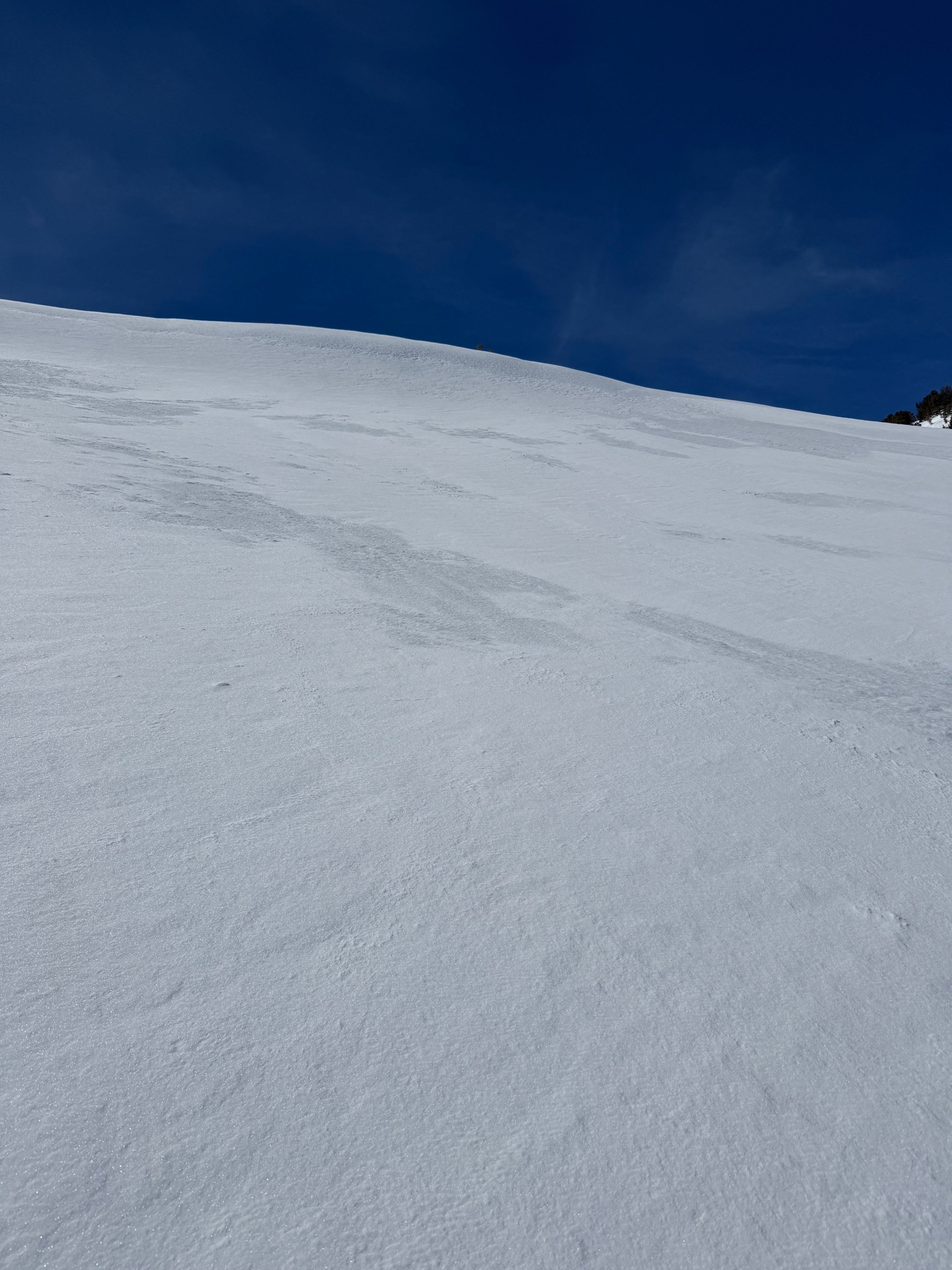
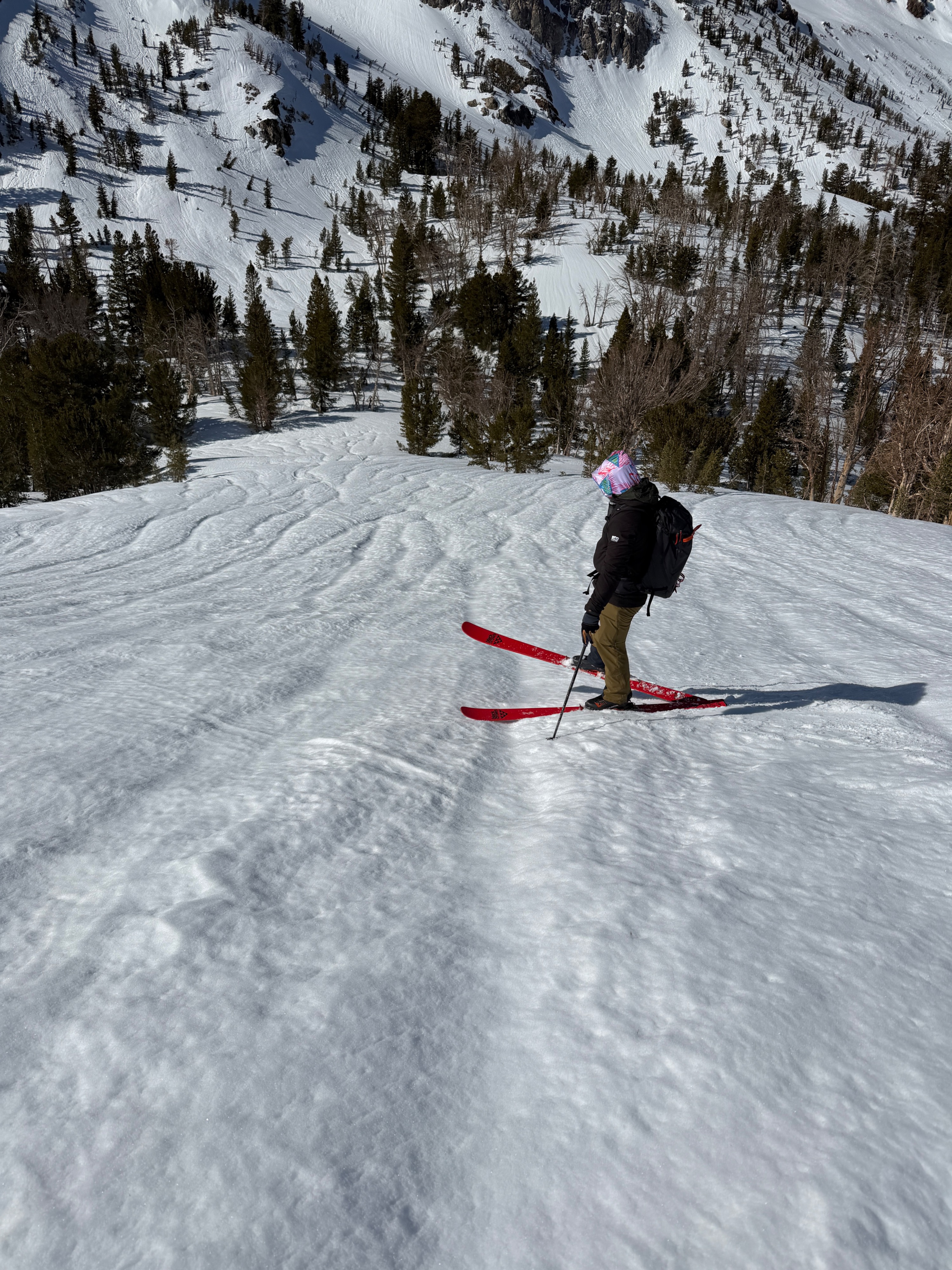
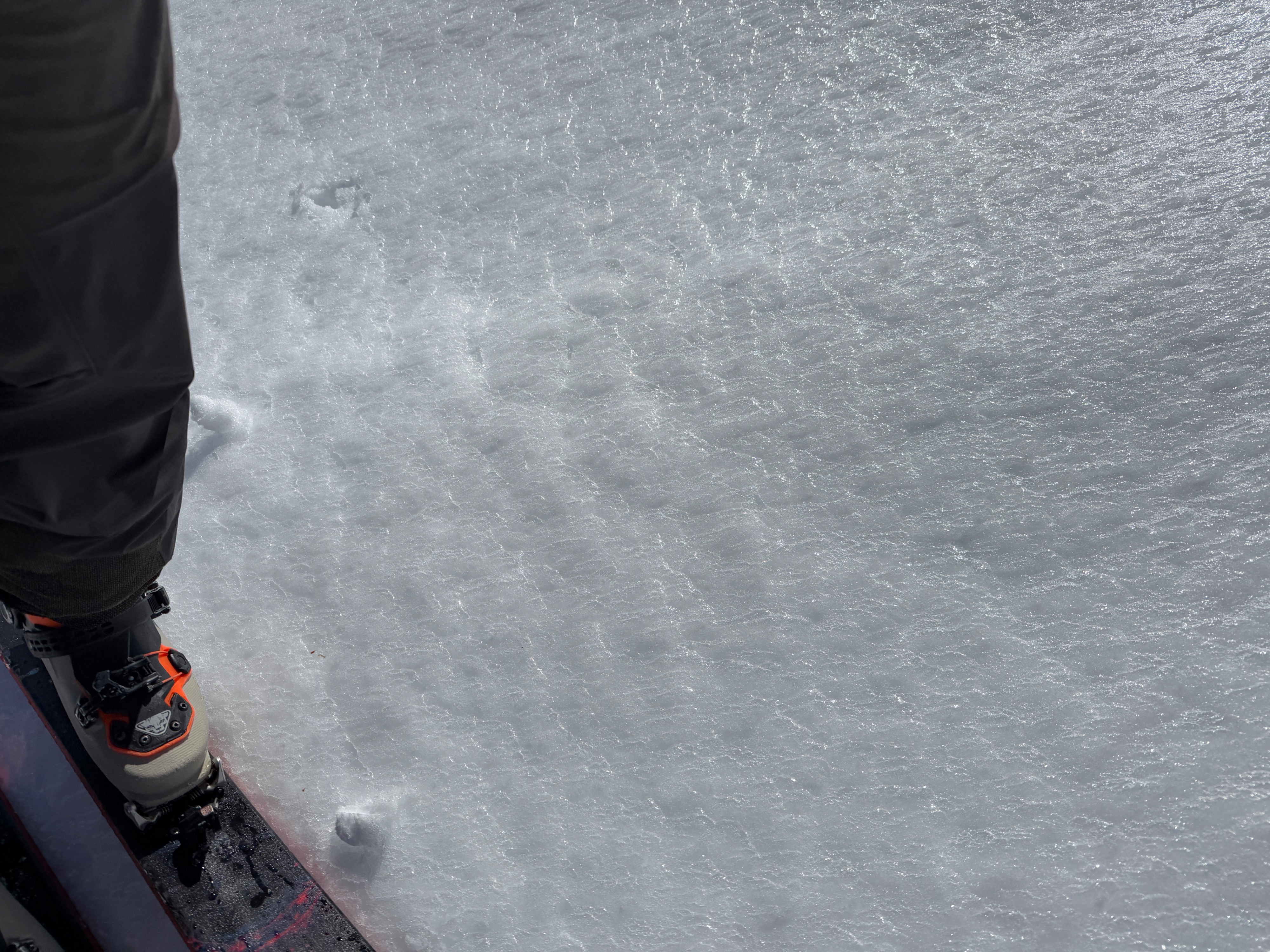
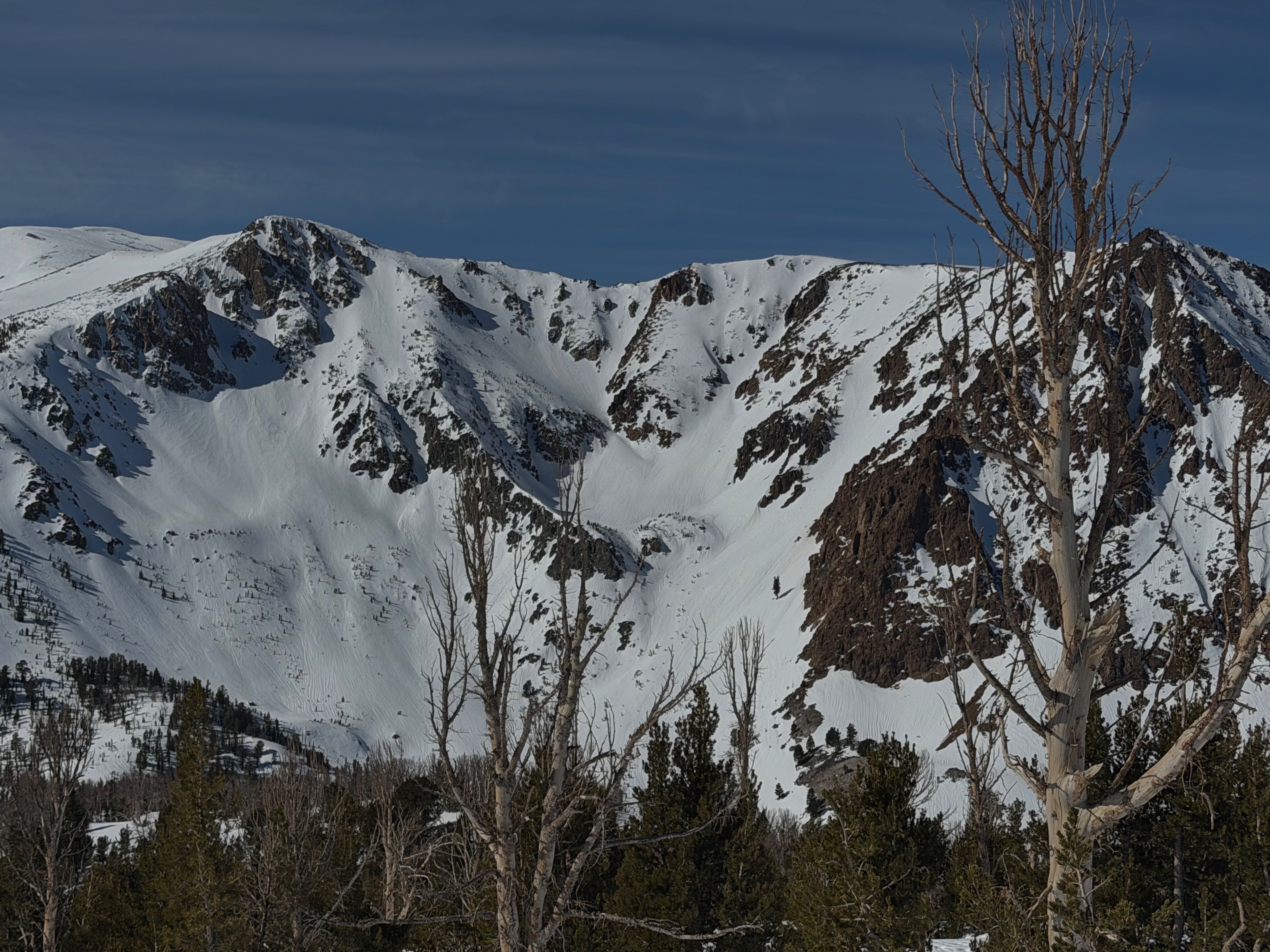
In the last 5 days, rain on snow, unseasonably warm temperatures and nights above freezing, and strong winds have done a number to our snowpack. Runnels are rampant, and the southern half of the compass is melting away. Rain on snow occurred at least as high as 11200' in the June area, and northerlys have a zipper crust at the surface. Strong winds eroded wind-exposed spots down to the 2/10 interface, and much of the new snow from 2/16-2/19 has settled significantly in places less wind-wacked. On the bright side, mass settlement has brought signs of a stabilizing trend to weak snow buried 2/10, and both the slab and weak layer have increased in density.
We had a few small rollerballs and found wet surface snow on all aspects and elevations except for northerlys in the alpine. We did not see any natural wet loose or wet slab activity occur during our tour.Weather
- Air Temp
- 52
- Cloud Cover
- scattered
- Wind Loading
- none
- Recent Snowfall
- 0
- Snow Avail For Transport
- none
Winds were on and off but blew moderate from the west, gusting strong, at upper elevations. We did not see any blowing snow. Partly cloudy skies dominated. Temperatures were hot. Shocker.
Snowpack
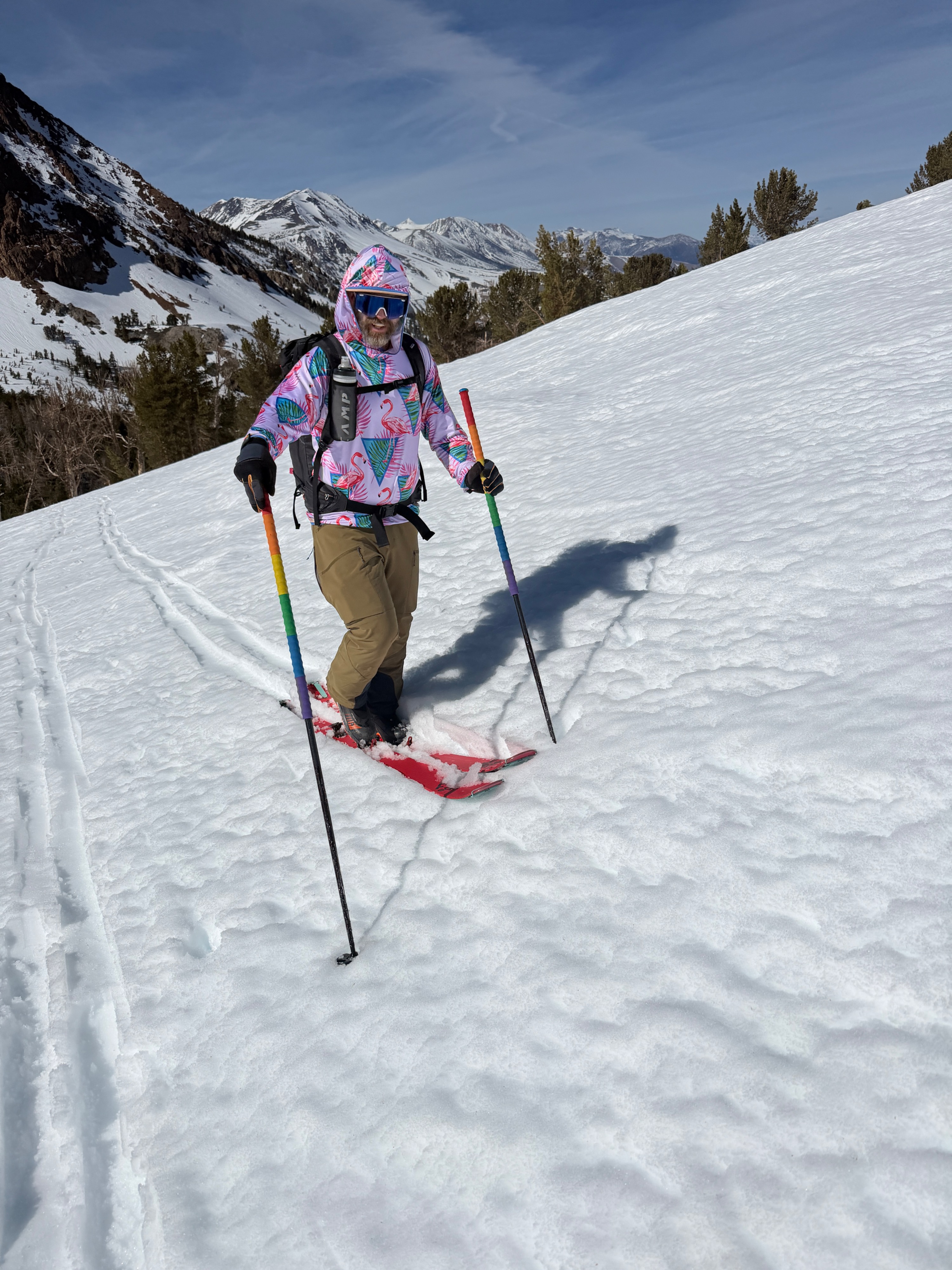
The snowpack at low elevations has been saturated with meltwater, and this afternoon, ski penetration was full pack on north-facing slopes around 8000'.
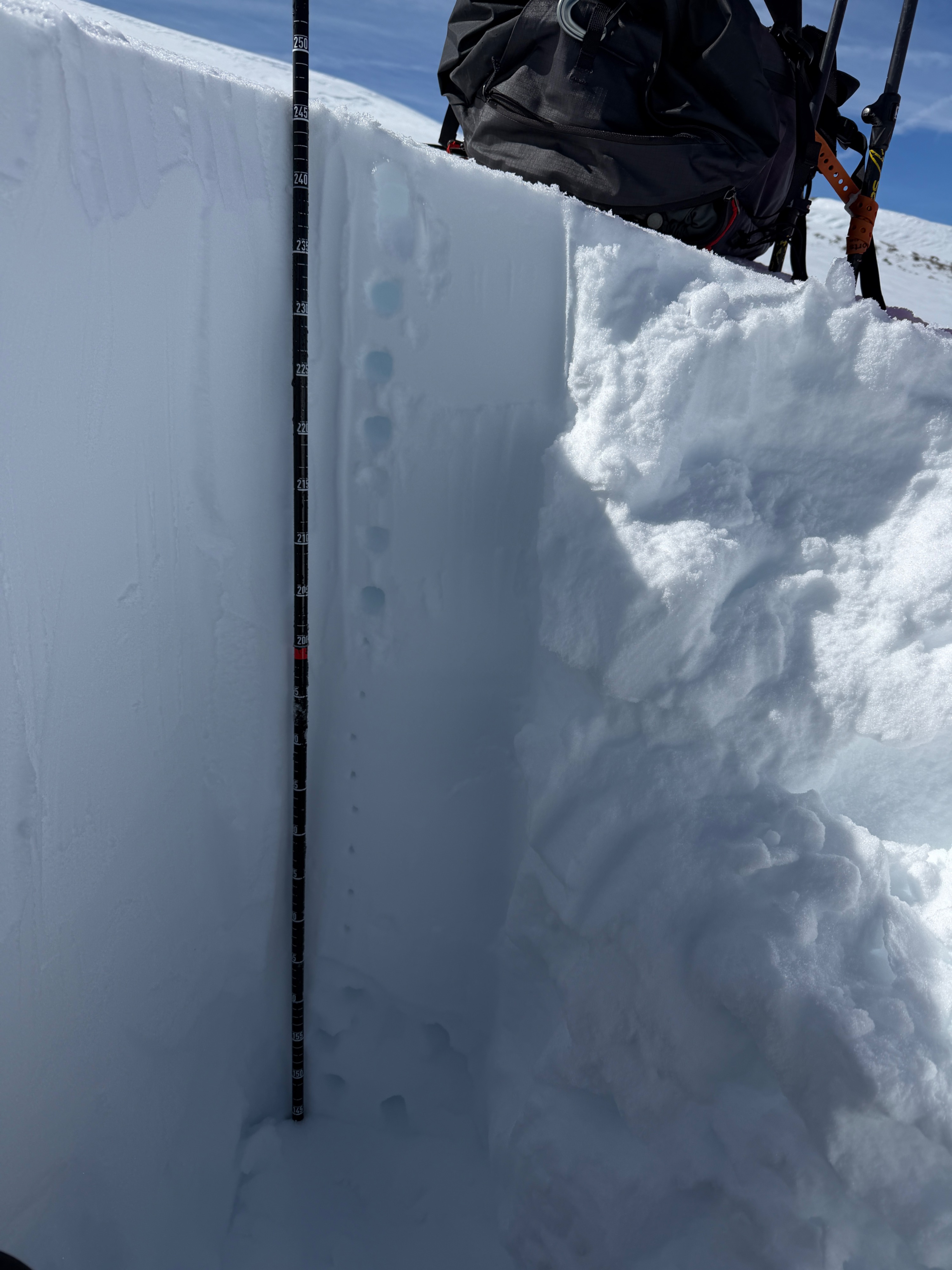
The 2/10 interface was down 80cm on northerly terrain at middle and upper elevations in the Negatives area, a massive amount of settlement since I dug in the storm on 2/19 (130cm mid-storm N Facing 9200'). The snowpack has also condensed significantly over the past week, and in the top meter, both the 2/10 interface and the overlying slab have jumped at least a full hardness step. We dug two holes on northerly aspects and found:
Near treeline (NTL):
- A height of snow around 240cm with the 2/10 interface ~80cm down.
- Wet surface snow, with moist snow in the top 20cm.
- Firm (1F-P) slab overlying 1F rounding facets.
- No failure initiation on 2/10. ECTX.
Above treeline (ATL):
- A height of snow around 240cm with the 2/10 interface ~80cm down.
- A thin rain crust capping 5cm of moist, small rounds. The rest of the snowpack was dry.
- Firm (1F-P) overlying 1F rounding facets.
- No failure initiation on 2/10 in an ECT and a CT. Moderate propensity for propagation in a PST. ECTX, CTN, PSTend 43/100 on 2/10.
Warming:
- A surficial freeze brought supportable travel, with a spring-like transition, to aspects facing the north half of the compass.
-
Drainage has been established at low elevations, and this afternoon, ski penetration was full pack on north-facing slopes around 8000'.
-
Southerlys NTL had full ski penetration around 1 pm this afternoon.