
Quick report
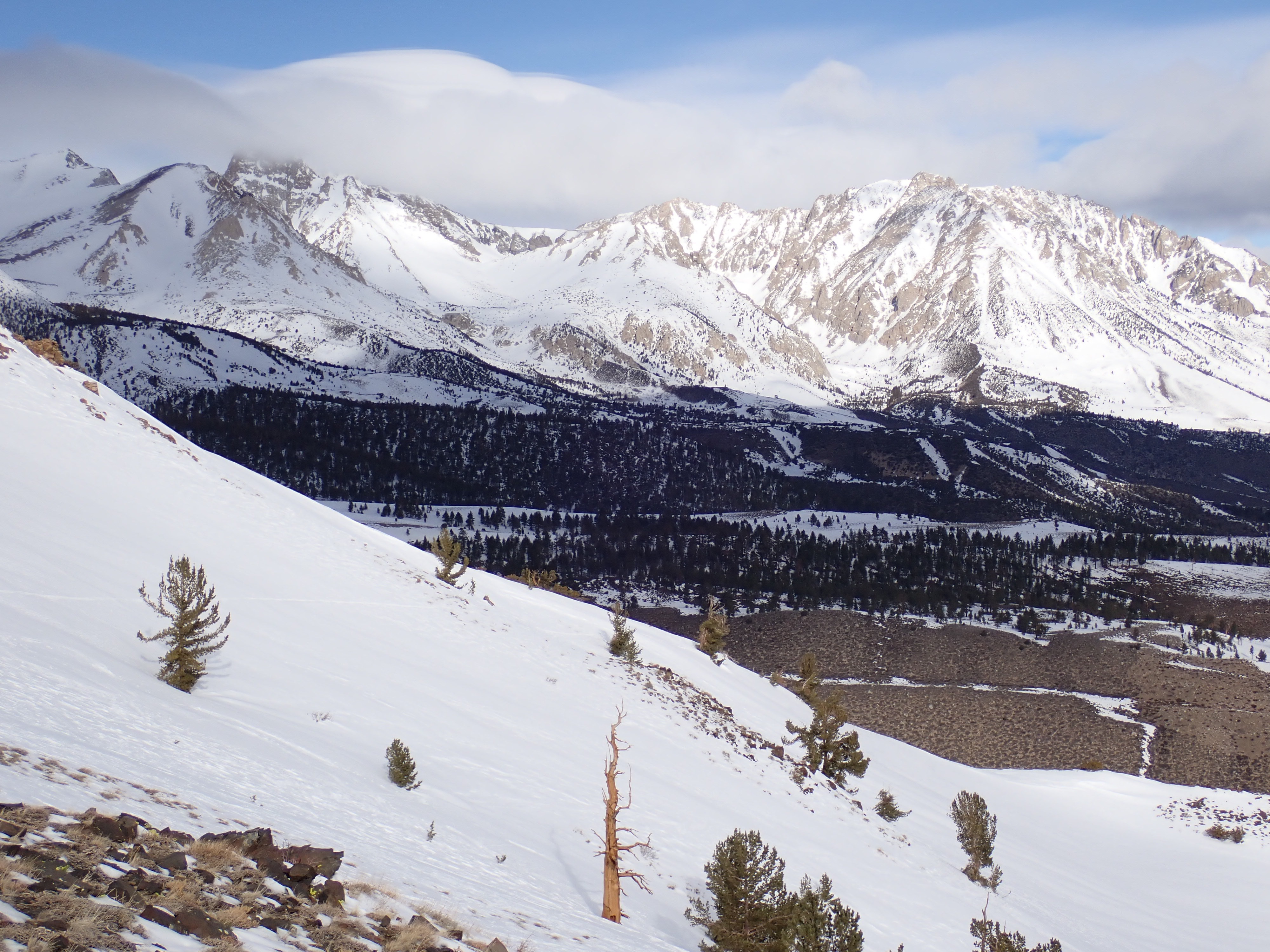
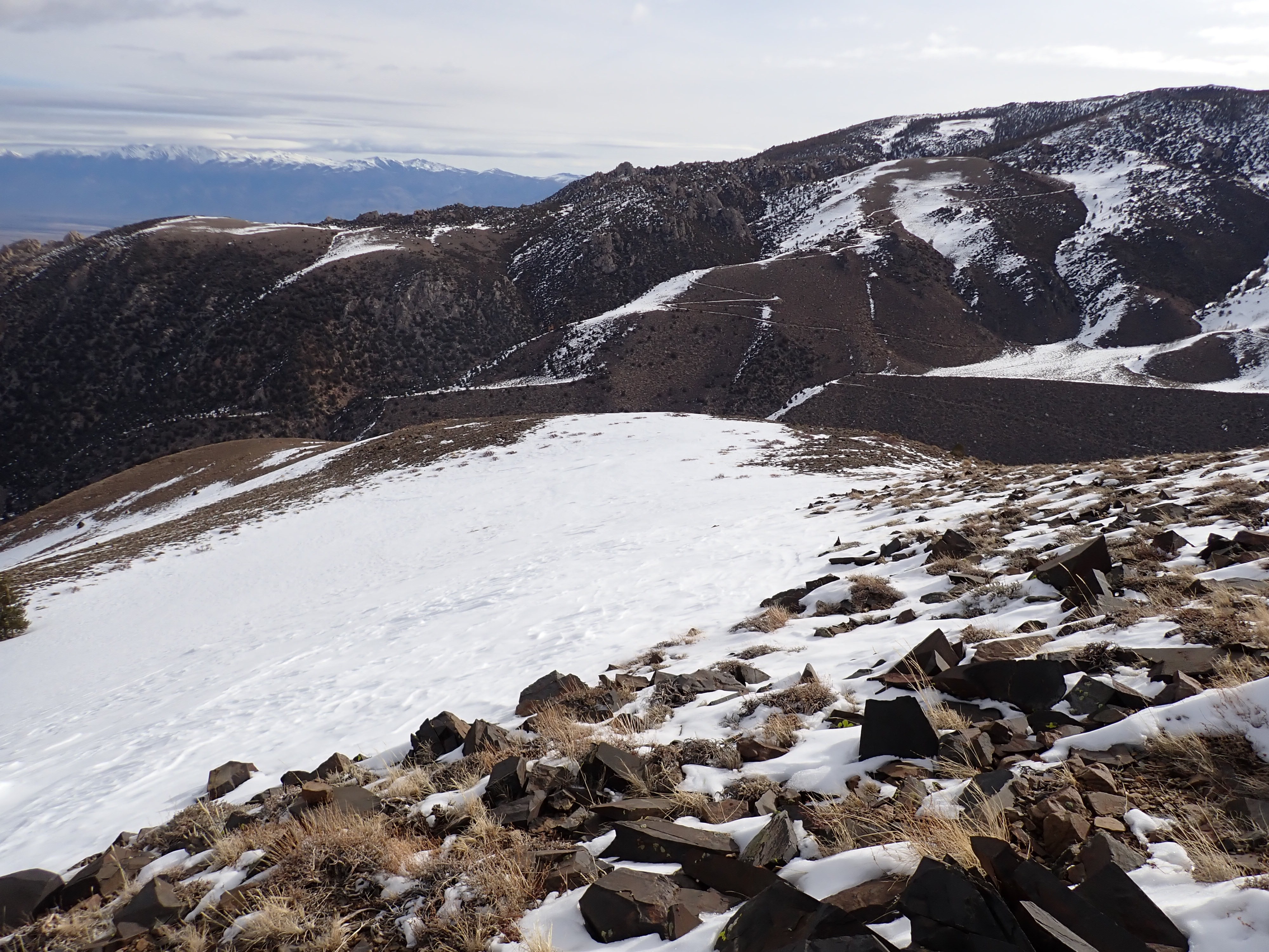
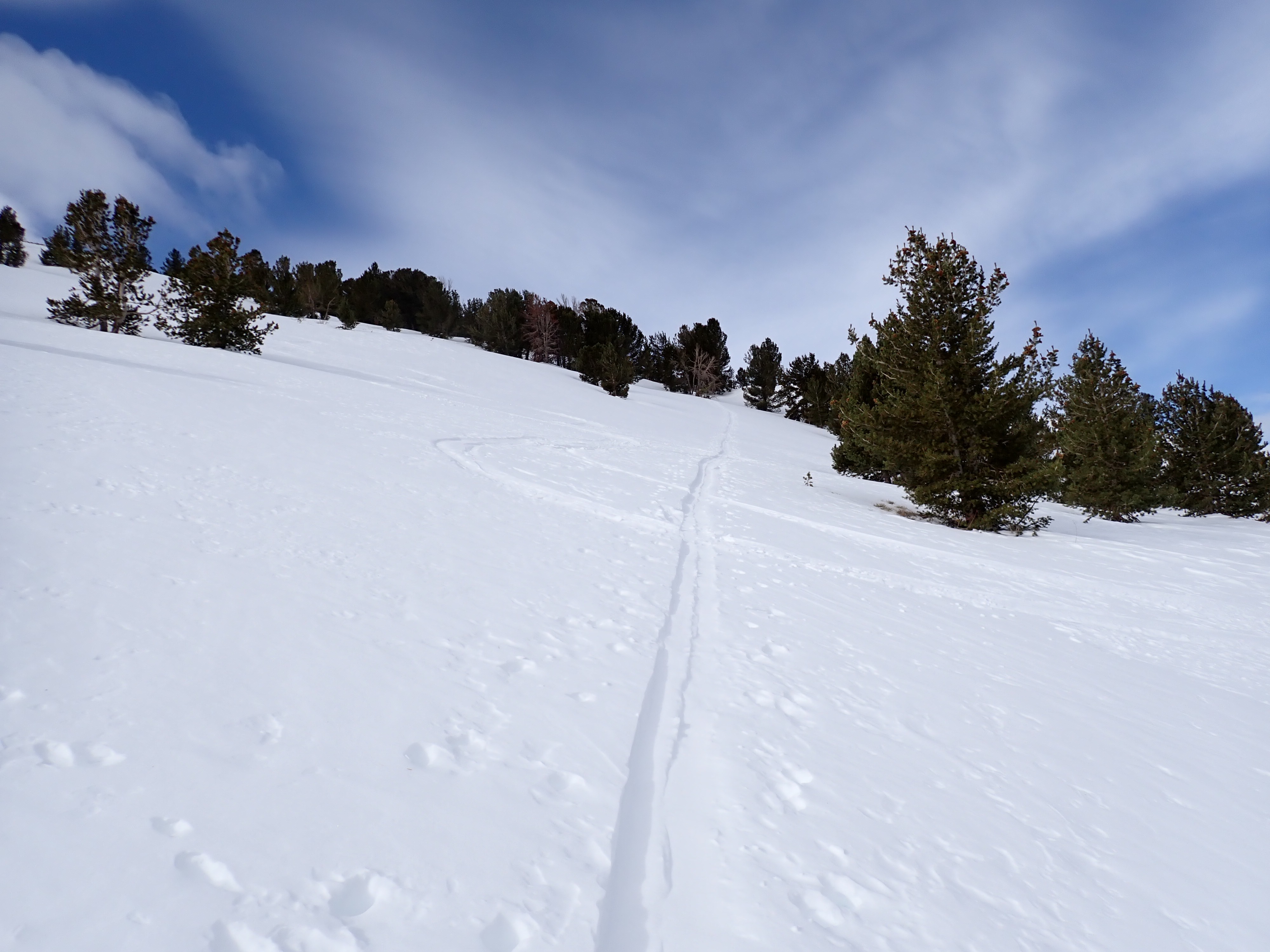
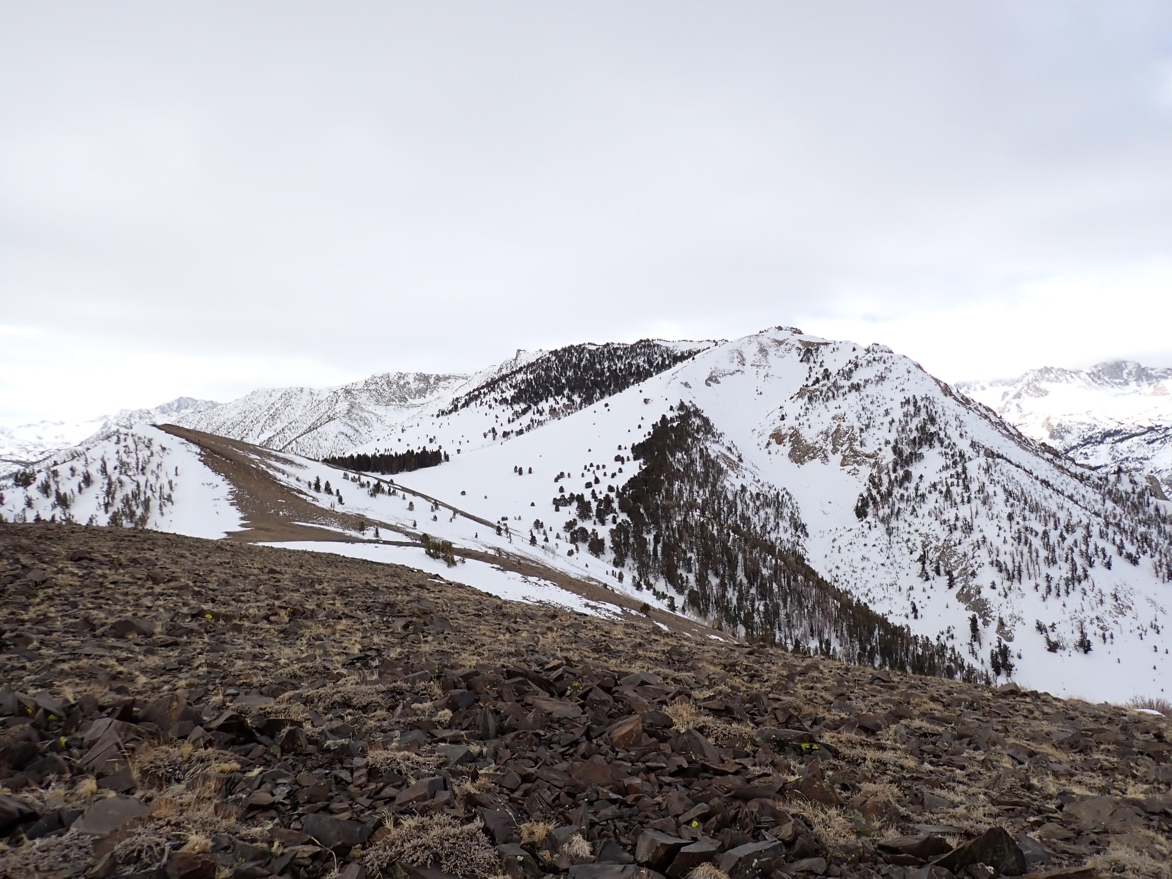
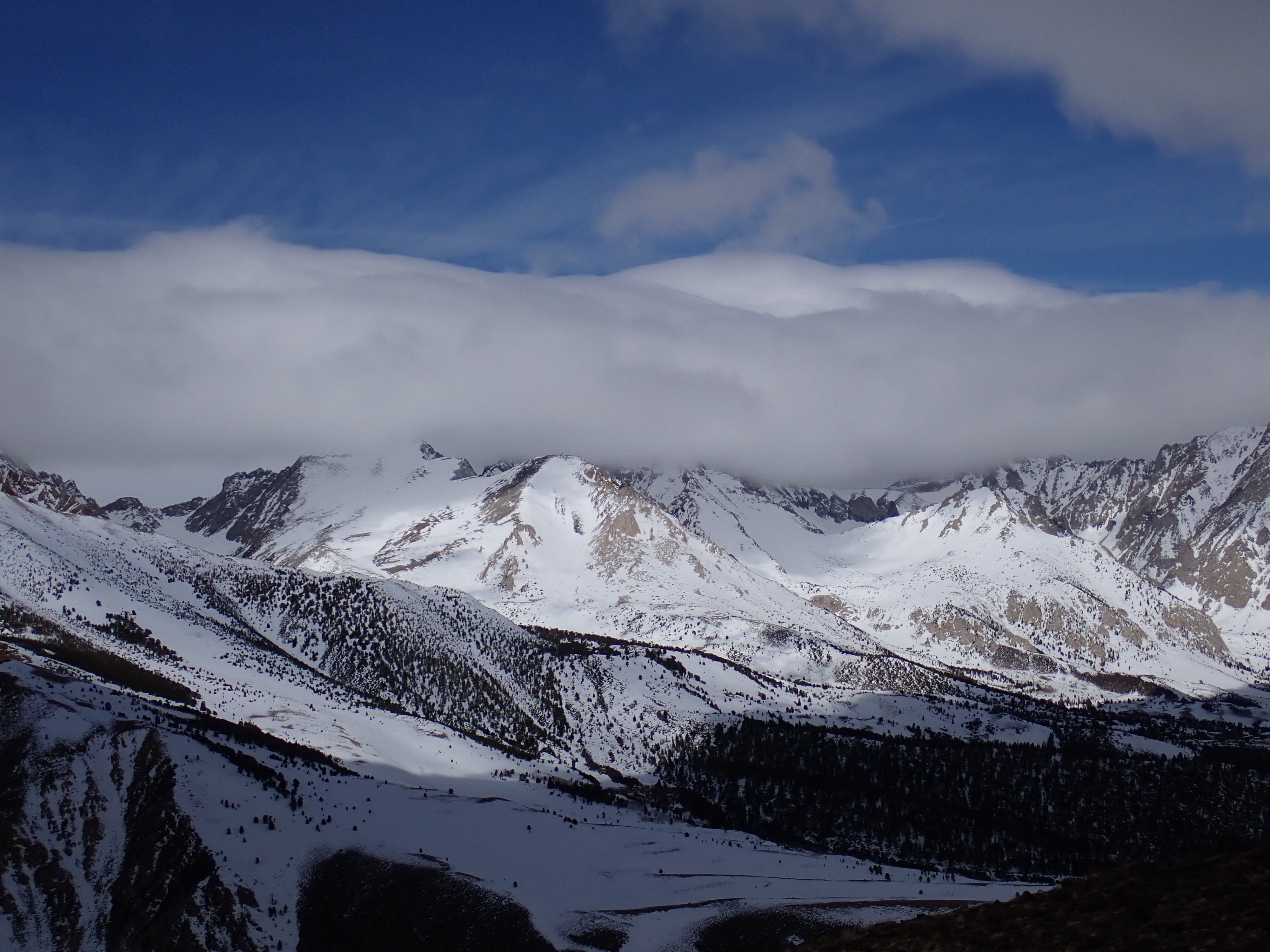
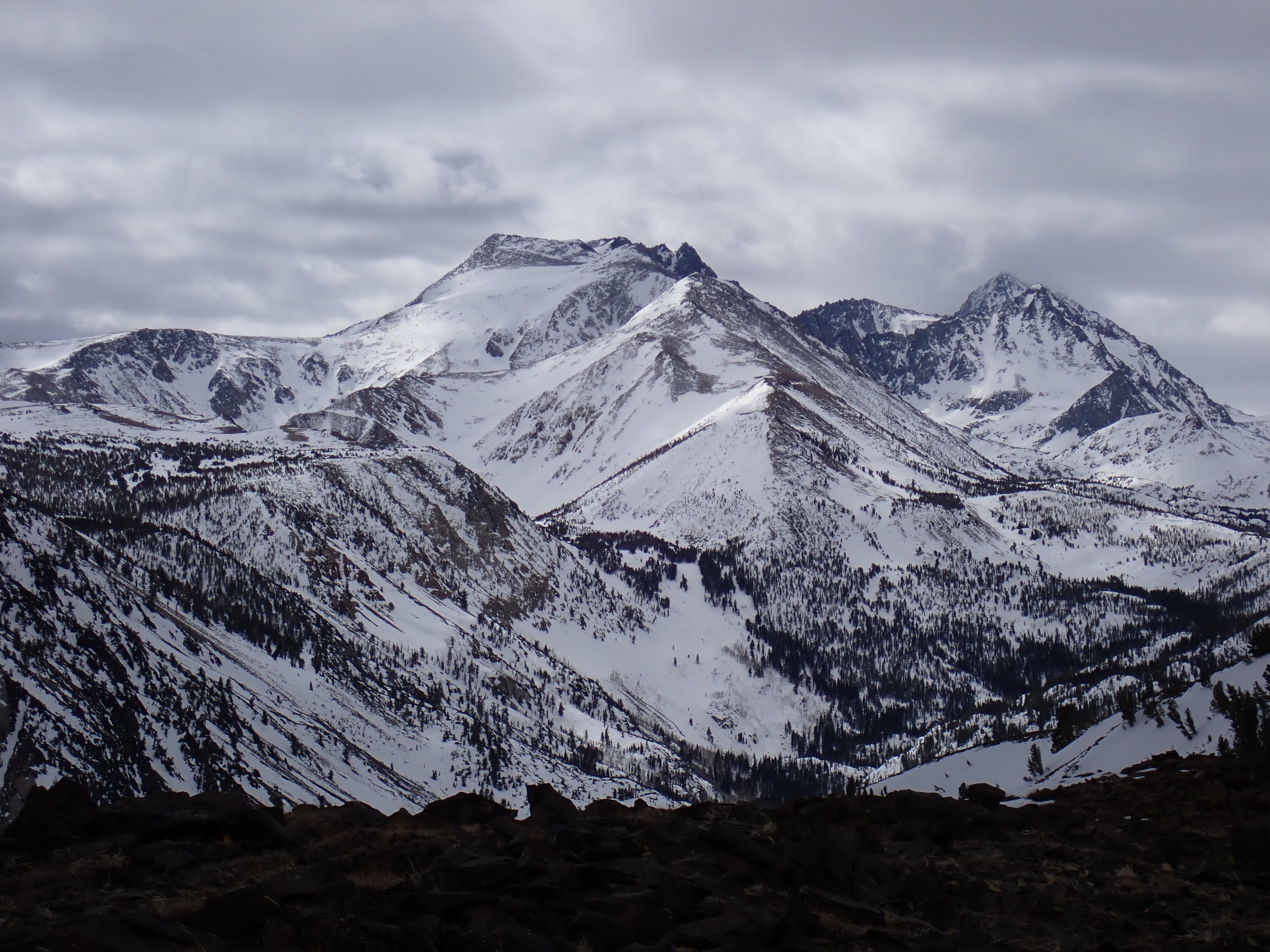
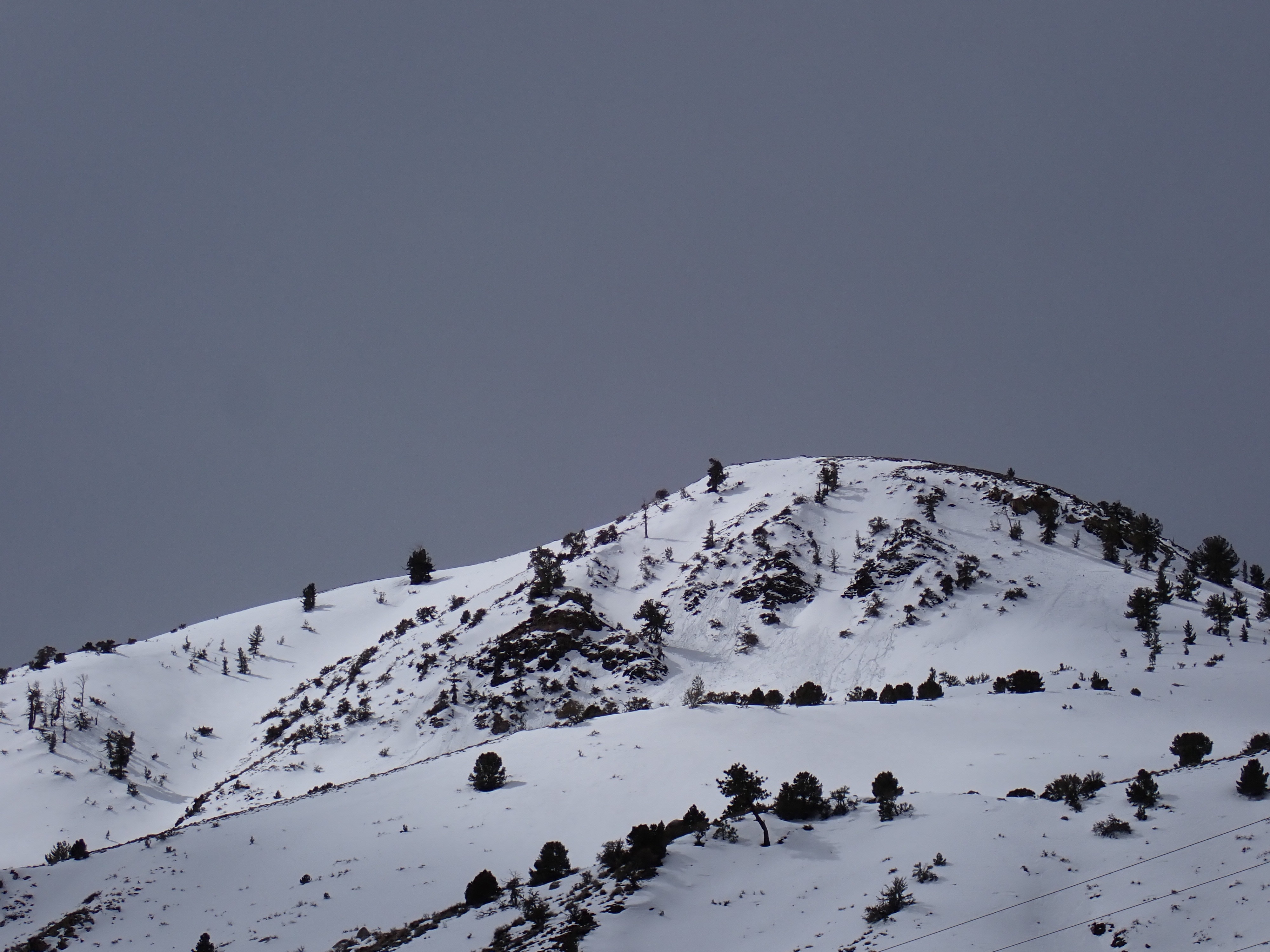
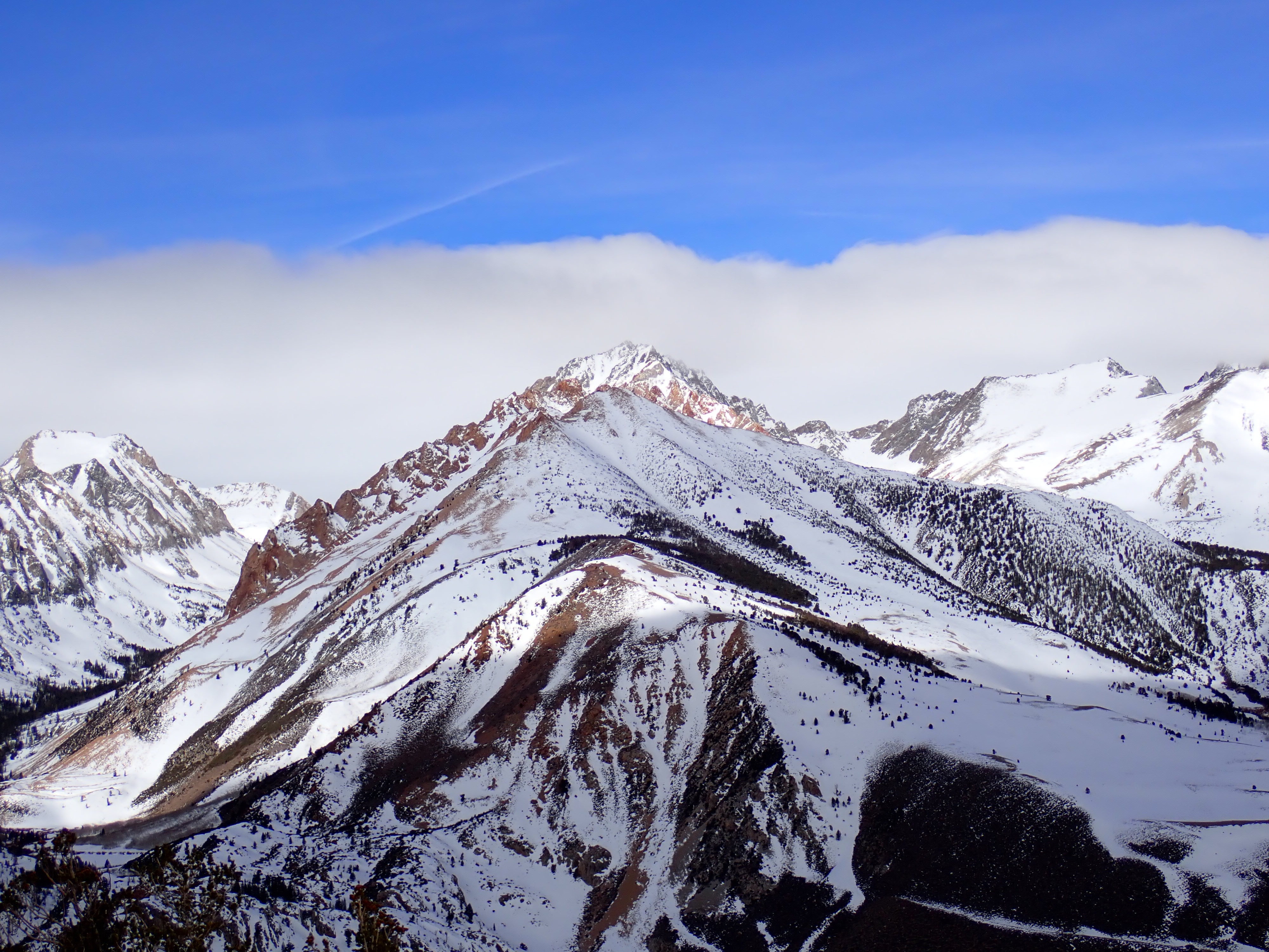
I left the road (approx. 8000’) at 0715. Air was warm, and clouds to the east were delaying sunrise. At the sub-ridge and above, winds began to blow, sustained light gusting moderate from a south-ish direction. I do not know how much it warmed after 1100, but the winds and clouds rolling in kept the air chilly above 9000’ while I was out. There were partly sunny periods, but mostly it was cloudy enough I didn’t need sunglasses or sunscreen. Clouds were building, and it looked like a front was coming in. When I got back to the car, the road was sunny but stratus clouds had set in over the mountains. The last storm and the windy days following it had filled in slopes and terrain I traveled in (NNW-N-NE) with smooth wind buff (4-8” thick). The windward side of the ridgeline was rocky. There was a hard crust down 12-16” everywhere I looked >8800’. It was warm overnight, and the snow retained moisture below a surface refreeze. At 8500’ and below, the snow was wet to the ground below a 1-3” soft refreeze with large melt-freeze grains. Around 8800-9100’ on generally N aspects, the snow transitioned to moist as deep as I looked (12”+). The surface crust was softer but the old wind buff underneath kept it supportable with minimal ski penetration. At mid-morning at 9500’ and above, the snow was drier, with about 4” moist snow over dry snow on northerly aspects, becoming 16” of moist snow in sunnier terrain. The surface crust thinned and pretty much disappeared above 10,000’ except in places that got more direct sun (i.e. flatter terrain near the top of the ridge or more easterly terrain). I started descending around 1050, and did not feel crust under my skis for most of the ski down except occasional small pockets. Above 9000’ the snow was decent skiing, fun but getting sticky enough to be a little unpredictable. Mostly it was warm wind buff (>10,000’), becoming hot pow (about 9500-10,000’), becoming stickier wet snow (about <9500’). The snowpack began to deteriorate below 8600’ on the last pitch to the road – increasing ski penetration and sticky roller balls that started to entrain a little snow. I looked back up and saw some rollerballs below some thinner, rockier spots nearby.