
Quick report
I ascended northerly aspects in the morning to monitor the snowpack structure and descended solar aspects in the afternoon to monitor wet loose activity.
Weather
- Air Temp
- 40s
- Cloud Cover
- broken
- Wind Loading
- none
- Snow Avail For Transport
- none
High hazy clouds covered most of the sky throughout the day. Winds were calm with occasional light gusts from the east. It was overall balmy and spring-like.
Snowpack
Northerlies:
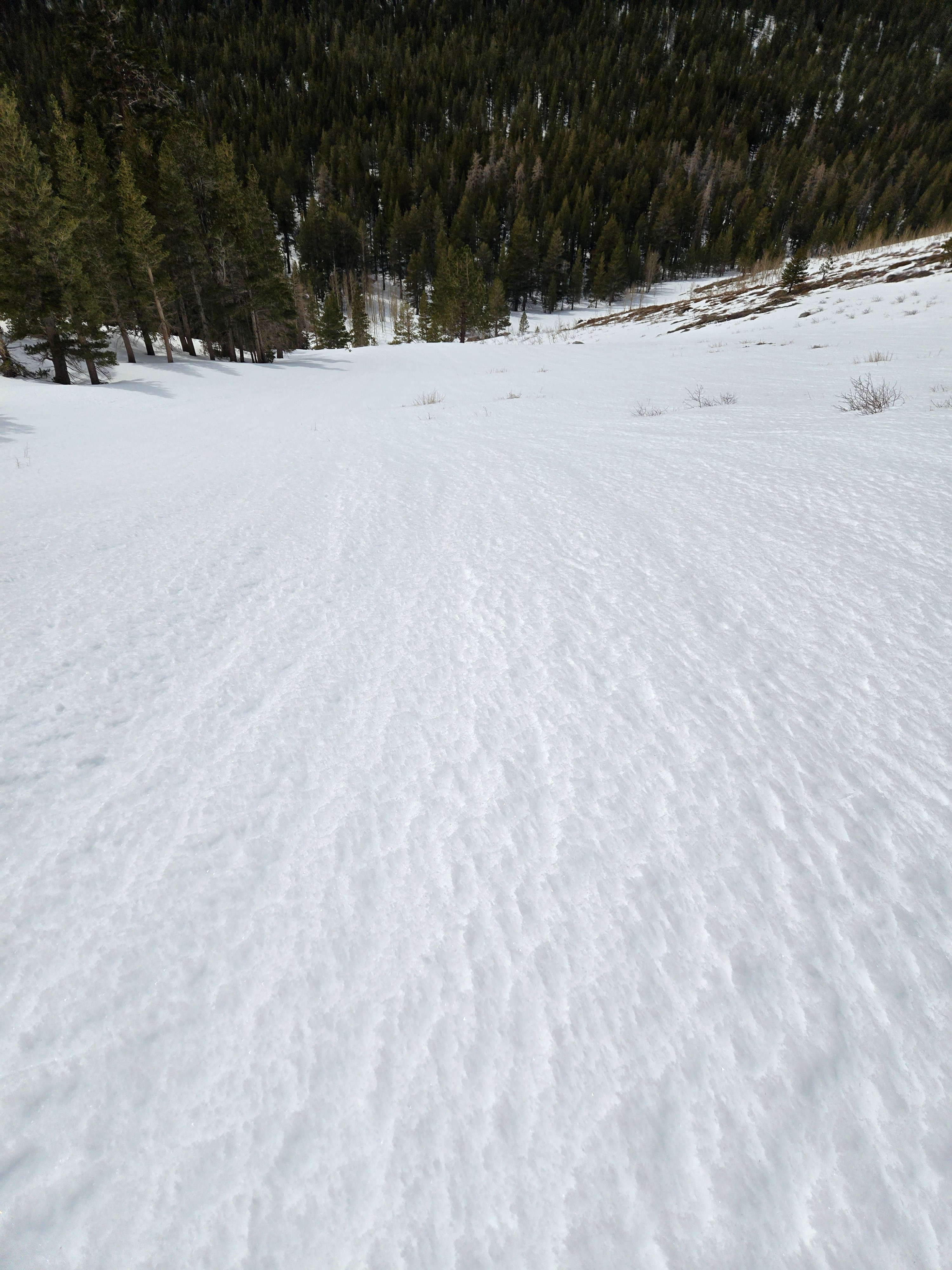
- Mostly supportable melt-freeze crusts at all elevations, average ski pen: 5 cm. Crusts thinned from 3 cm to 1 cm and P-1F hardness below treeline, 1 cm thick and K hard near treeline. The top 20 cm under these crusts was faceting in sheltered terrain.
- Near treeline, I found 1 cm of .5-1 mm near-surface facets over the K crust.
- Below 9500 ft., the whole snowpack was either moist or wet. Above 9500 ft., it stayed dry.
- Above 9500 ft., the snow depth quickly increased to over 2 m. The crust from early February was down over 150 cm in most places.
- I dug in the 2 shallowest, weakest places I could find and got no propagating test results. See photo and profile.
Solars:
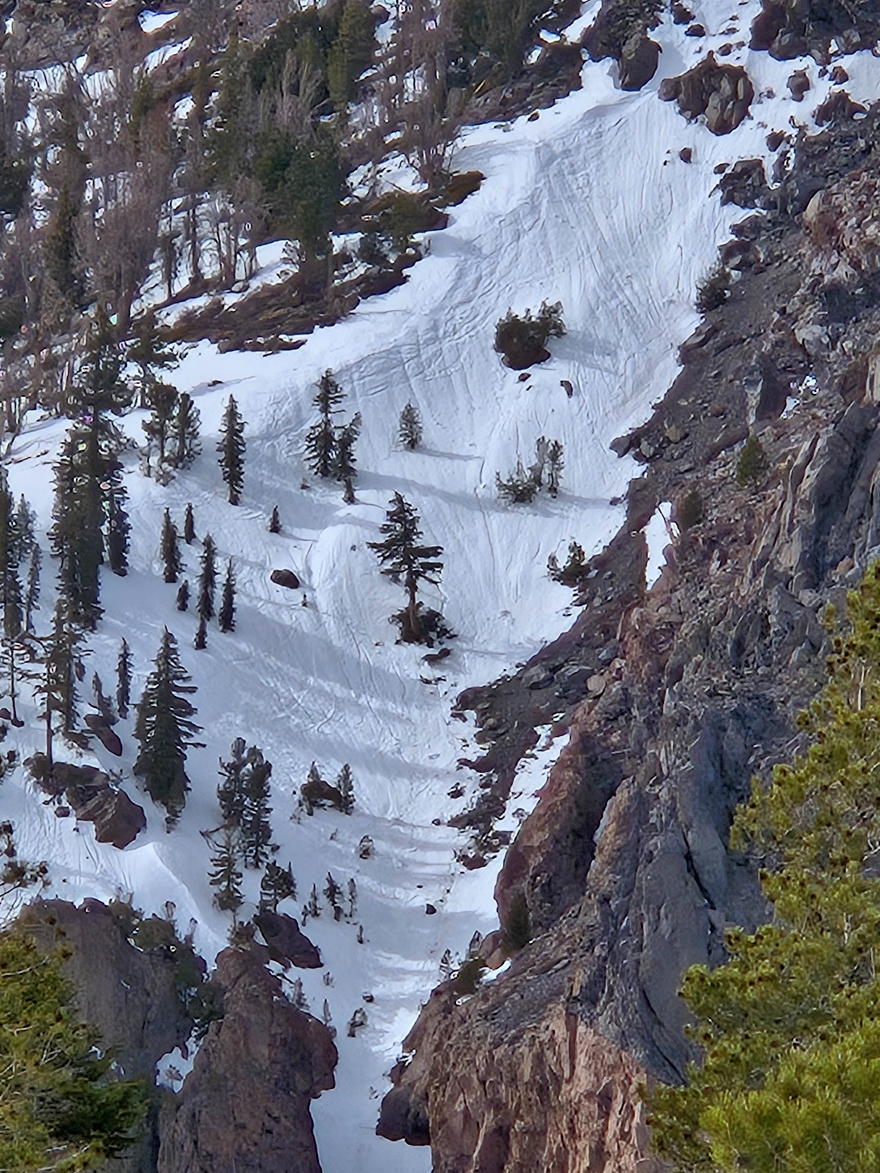
- The most recent sign instability I saw was recent rollers below radiators on east aspects near treeline. These looked to be from the past few days. No recent avalanches.
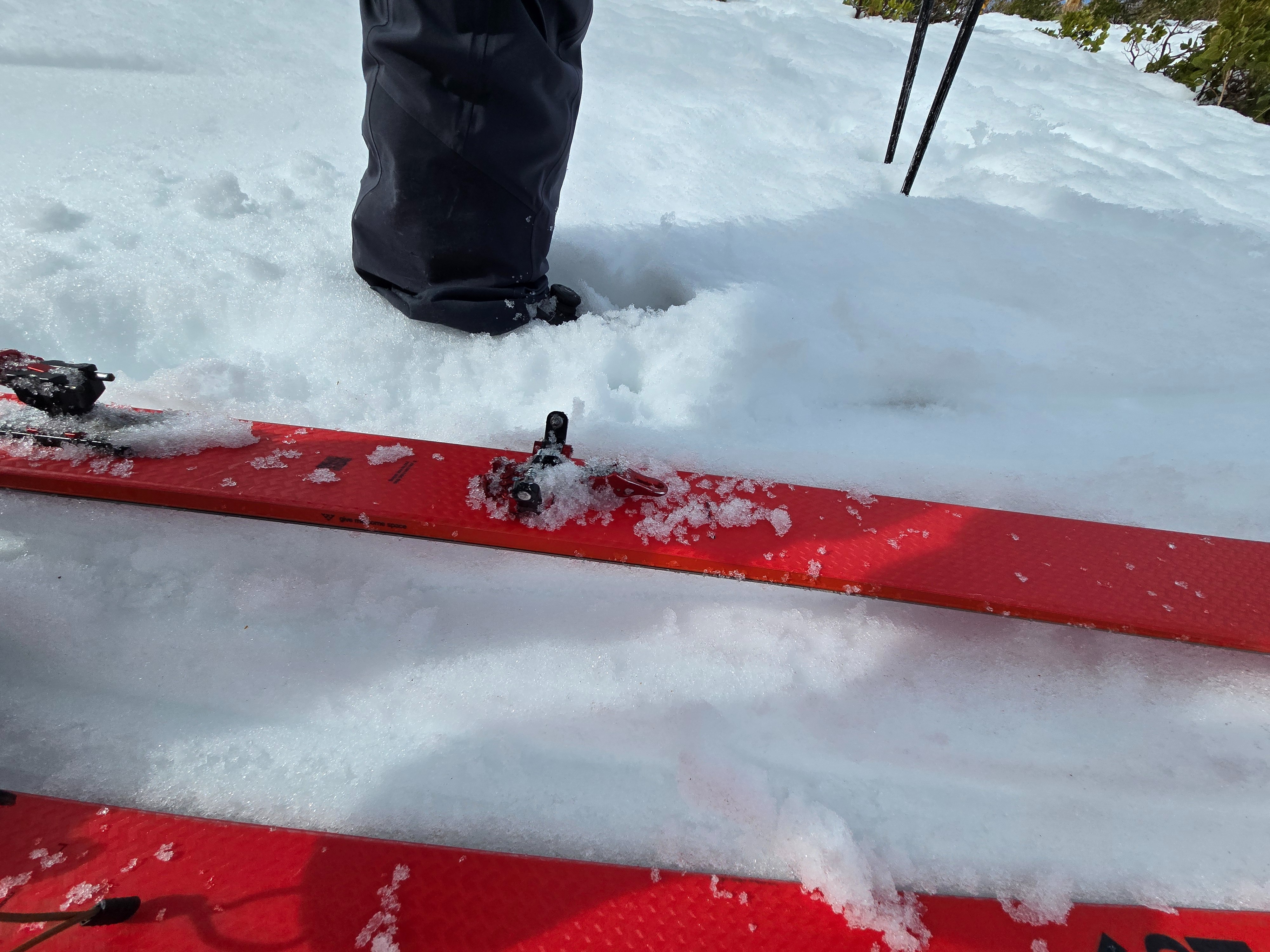
- Between 11am and 1:30pm on east to south to southwest aspects near and below treeline: Ski pen 5 cm in wet melt form snow grains over a supportable crust.
- Well established runnels (drainage) near and below treeline.
- Coverage on solars is limited.
Avalanche
Not for lack of trying on solar test slopes, I was able to trigger only one, baby wet loose avalanche in a steep, rocky chute below treeline in the early afternoon. Aspect: South-southeast.