
Quick report
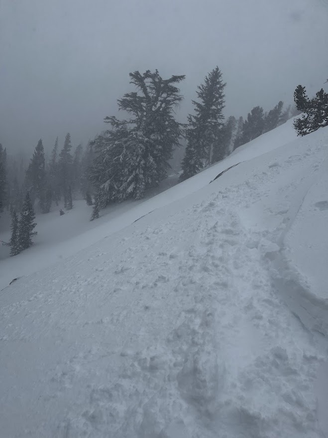
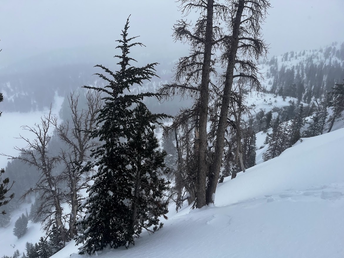
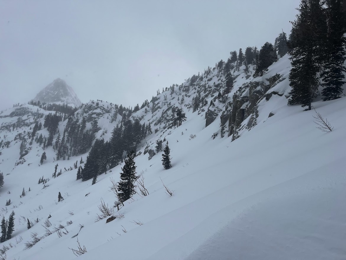
Short tour in the Lakes Basin this afternoon to assess storm slab sensitivity below treeline. No signs of instability were observed. Steep rollovers in generally low angle forests were unreactive to ski cuts, but I did not approach any open slopes greater than 35 degrees so I have limited evidence to support an assessment of the likelihood of human triggered storm slabs in this area today. No recent natural slab avlanches were observed in the start zones around Lake George.
Weather
- Air Temp
- 23
- Cloud Cover
- overcast
- Wind Loading
- intense
- Recent Snowfall
- 40
- Snow Avail For Transport
- large amounts
At noon today visibility was limited with snow falling at up to an inch per hour and blowing snow below treeline on sub-ridges and cut banks. Winds were moderate to strong and from variable directions as Southwest flow was redirected and eddied by local terrain. In the late afternoon snowfall decreased to a trace per hour and winds decreased below treeline. The cloud layer rose to 10,000', improving visibility, and revealing continued intense blowing snow near treeline.
Snowpack
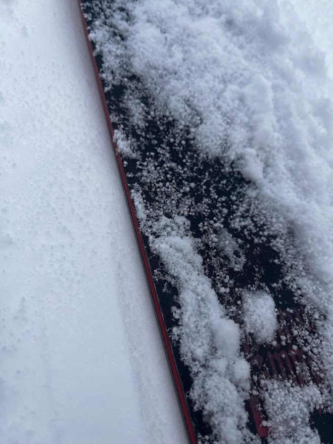
Below treeline, North , Northeast and East aspects; Total snow 200 to 250cm (7 to 8 ft.). 40cm (16inches) of new snow from the past 24 hours. On skis I sank in to the calf (Ski pen 30 cm). In boots I was up to my knee cap (Boot pen 60cm). The upper meter (three feet) of the snowpack consists of soft settling snow from recent storms (including today) without much variation in layer hardness or grain size. No hard slab or sastrugi was observed in exposed terrain features near treeline. The surface snow was continually 4F to F in the top 30cm (Soft snow in the top 1.5 ft).