
Quick report
- Cracking
- isolated
- Collapsing
- isolated
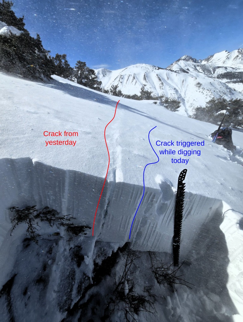
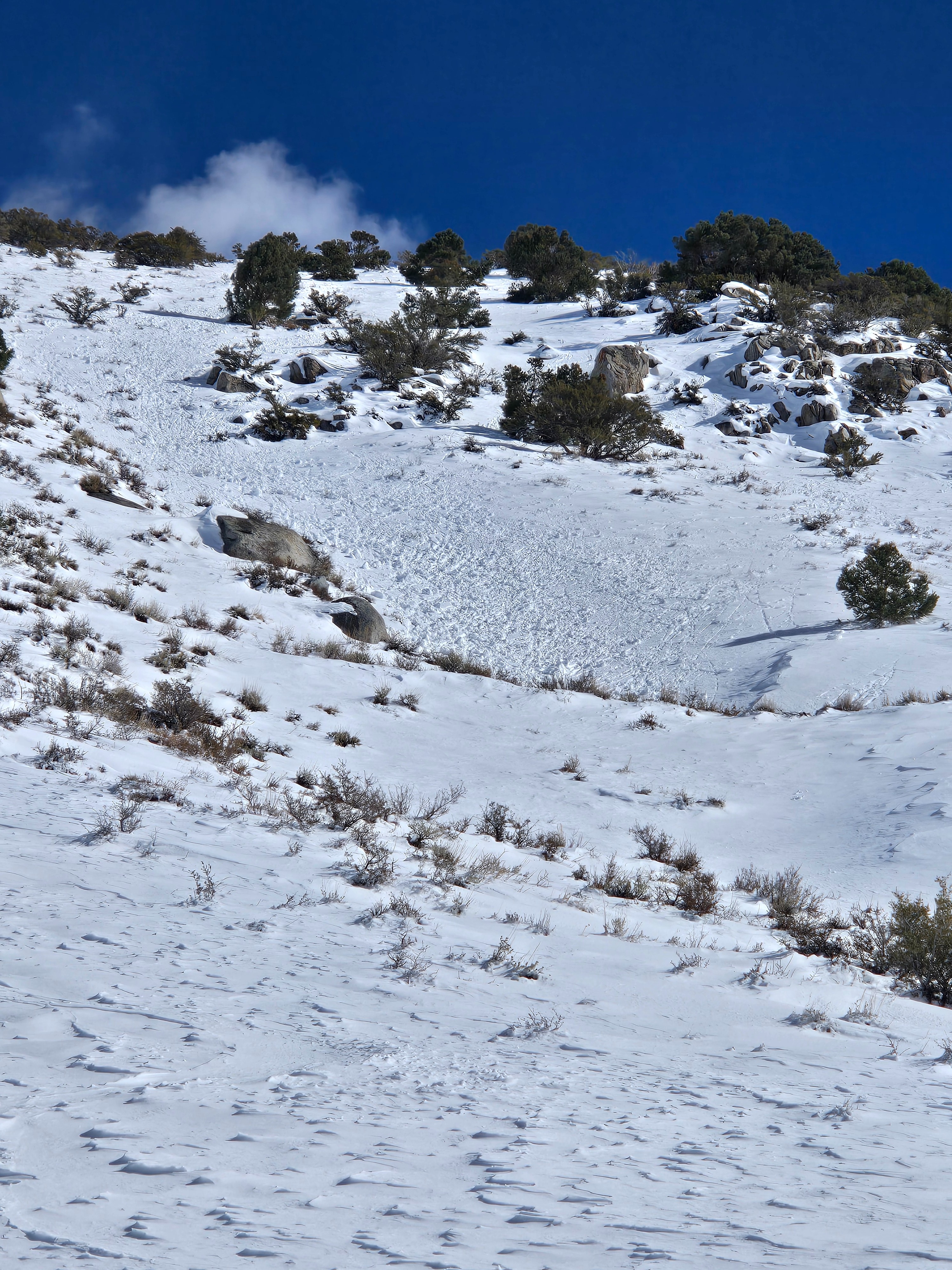
Cracking and collapsing above 9000 ft. on north and northwest aspects that had old snow prior to the February storms. I am only listing as isolated because as soon an we got confirmation of the structure and triggered collapses and cracks we stopped and didn't travel further. We also got shooting cracks in small developing wind slabs on east-facing, near treeline test slopes.
Weather
- Air Temp
- Above Freezing
- Cloud Cover
- scattered
- Wind Loading
- intense
- Snow Avail For Transport
- large amounts
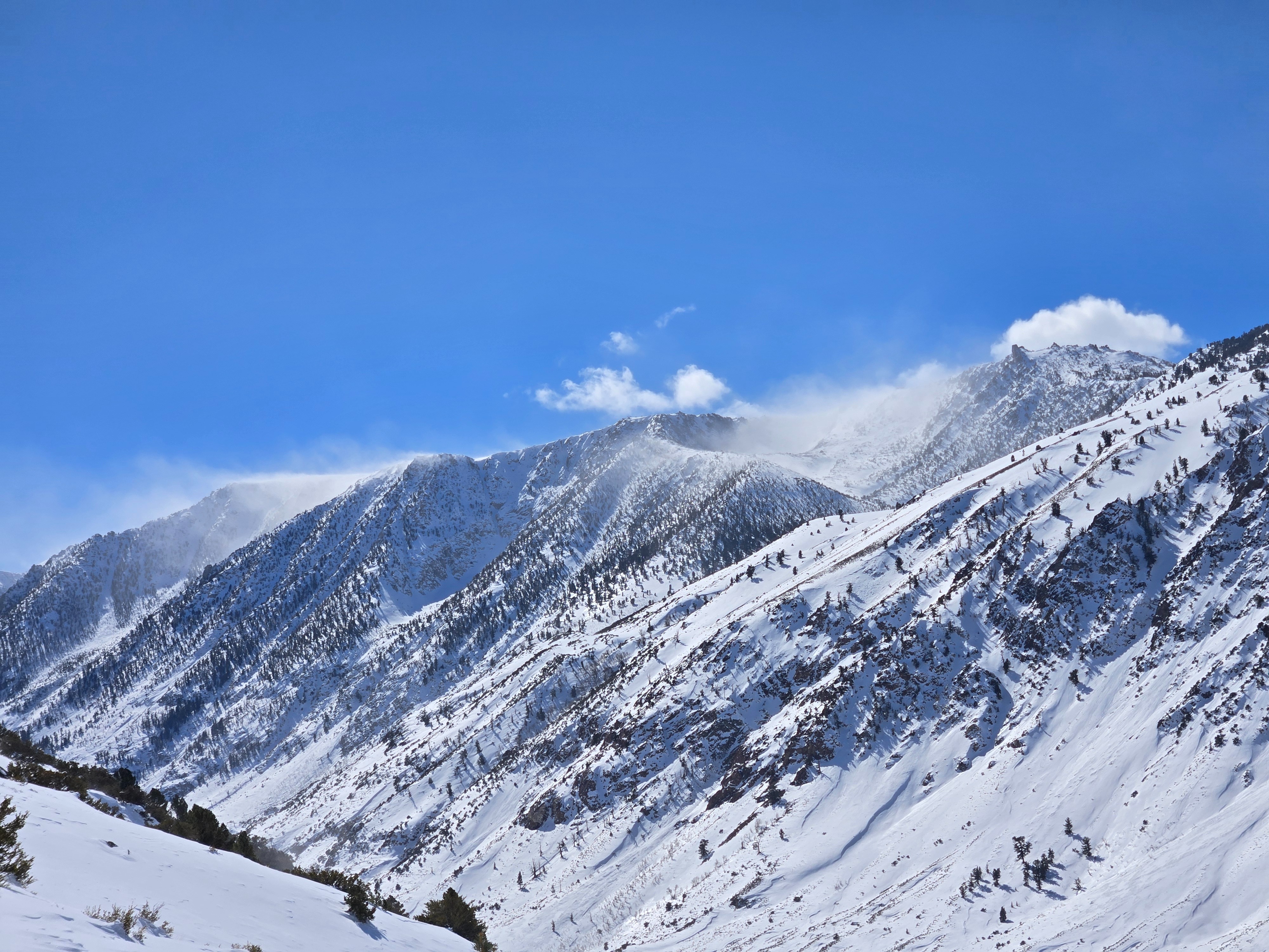
West winds and drifting snow increased throughout the day. Mostly sunny skies and warm temperatures while we were there until 1 pm. Once we were back in town, the Bishop skyline became socked in and it appeared to be snowing lightly on the mountains.
Snowpack
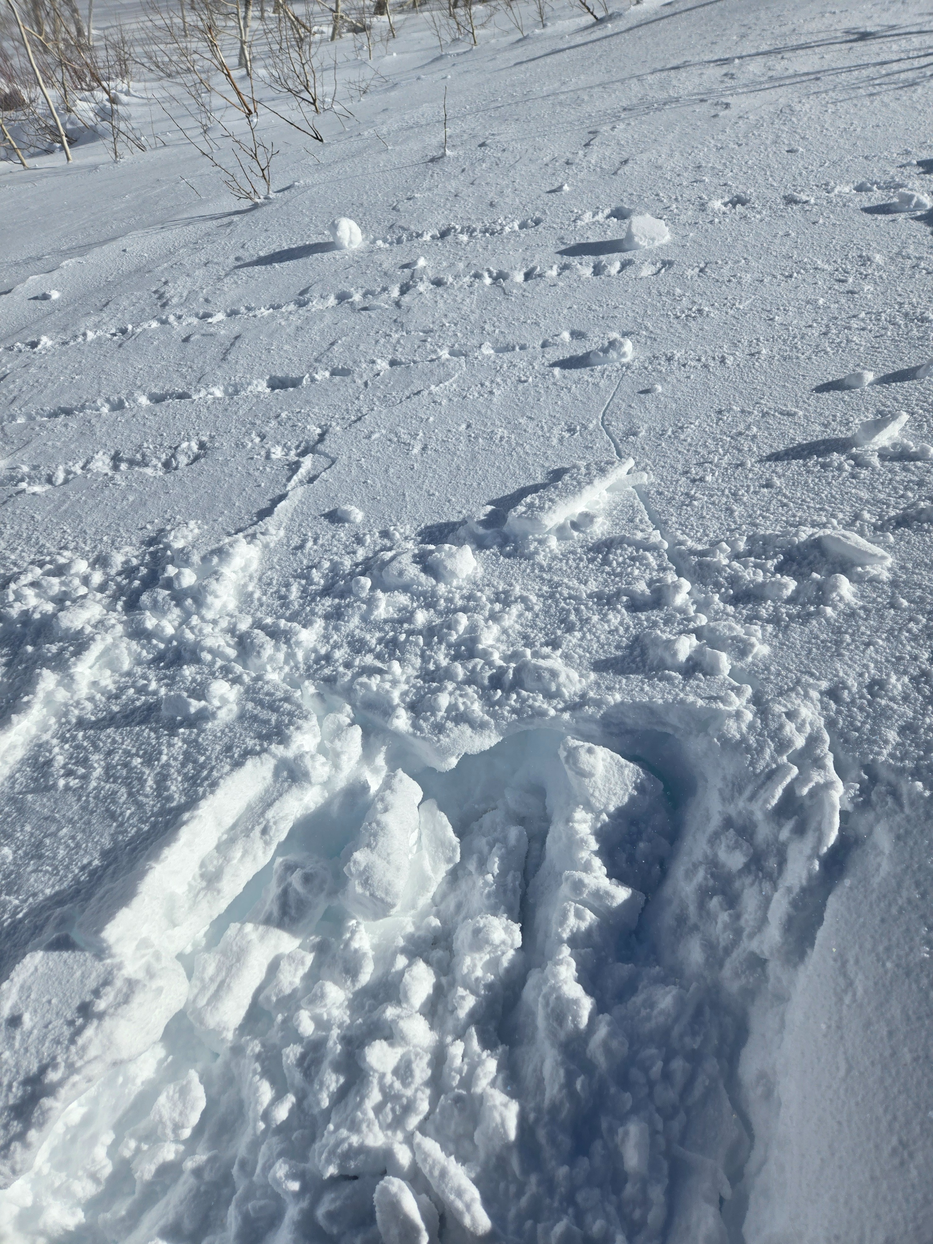
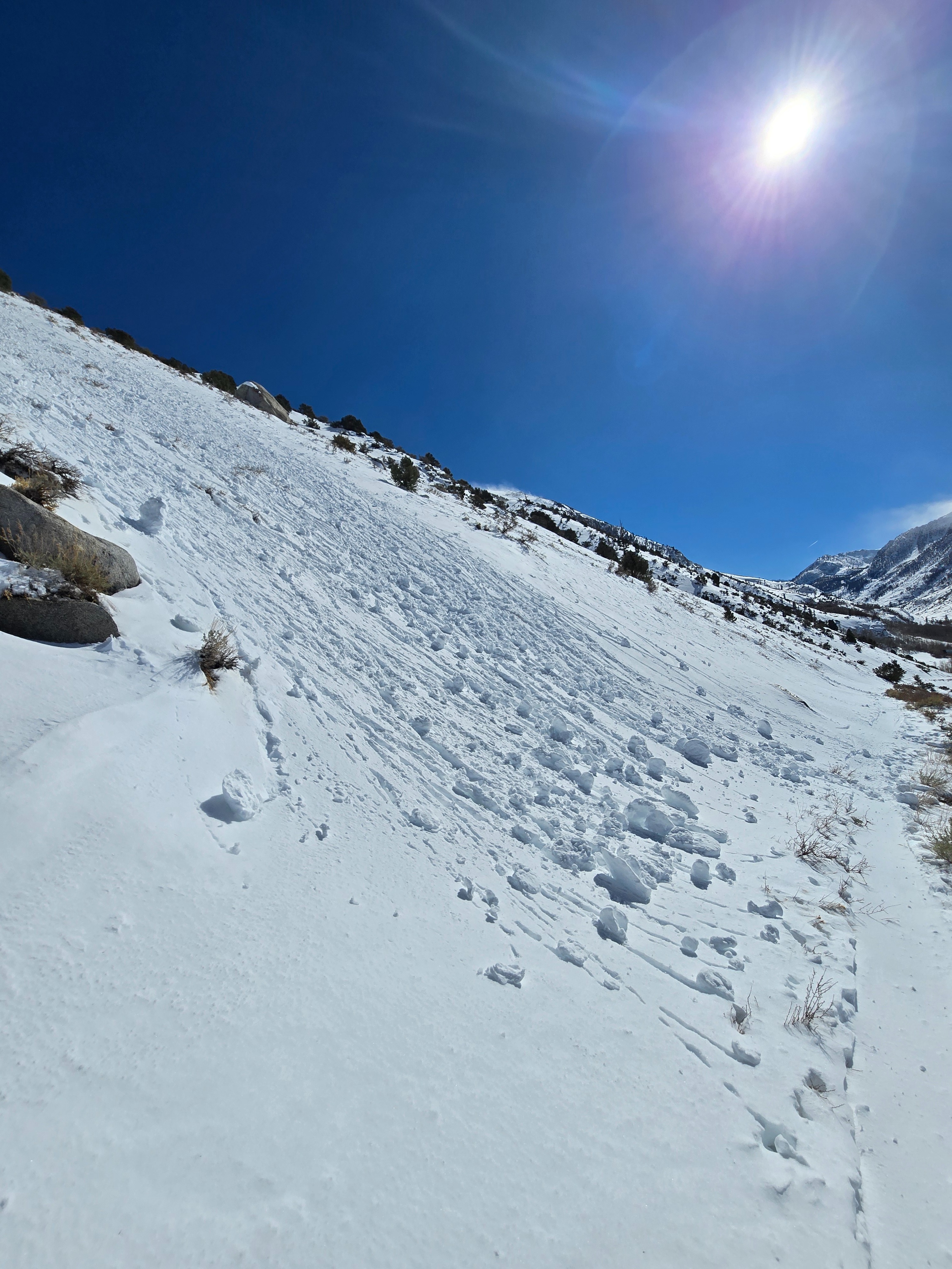
The attached media covers most of our snowpack observations.
Other:
- Loading from west winds increased throughout the day. We stomped on east-facing test slopes in the morning with limited results. The same slopes gave us shooting cracks and small fresh slabs were easy to trigger in the afternoon. These slabs were 4F and up to 8 inches thick, though they tapered quickly downslope to just an inch or two.
- The top 4-6 inches of the snowpack transitioned from dry to wet below ~9000 ft. and we watched many large fans of rollerballs tumble down sunny slopes by 1 pm.