
Quick report
I went for a walk today in the Virginia Lakes area to get a post-storm survey in the area. I started up through the Red Lake Glades and made it over 11,000' on the shoulder of Black Mountian.
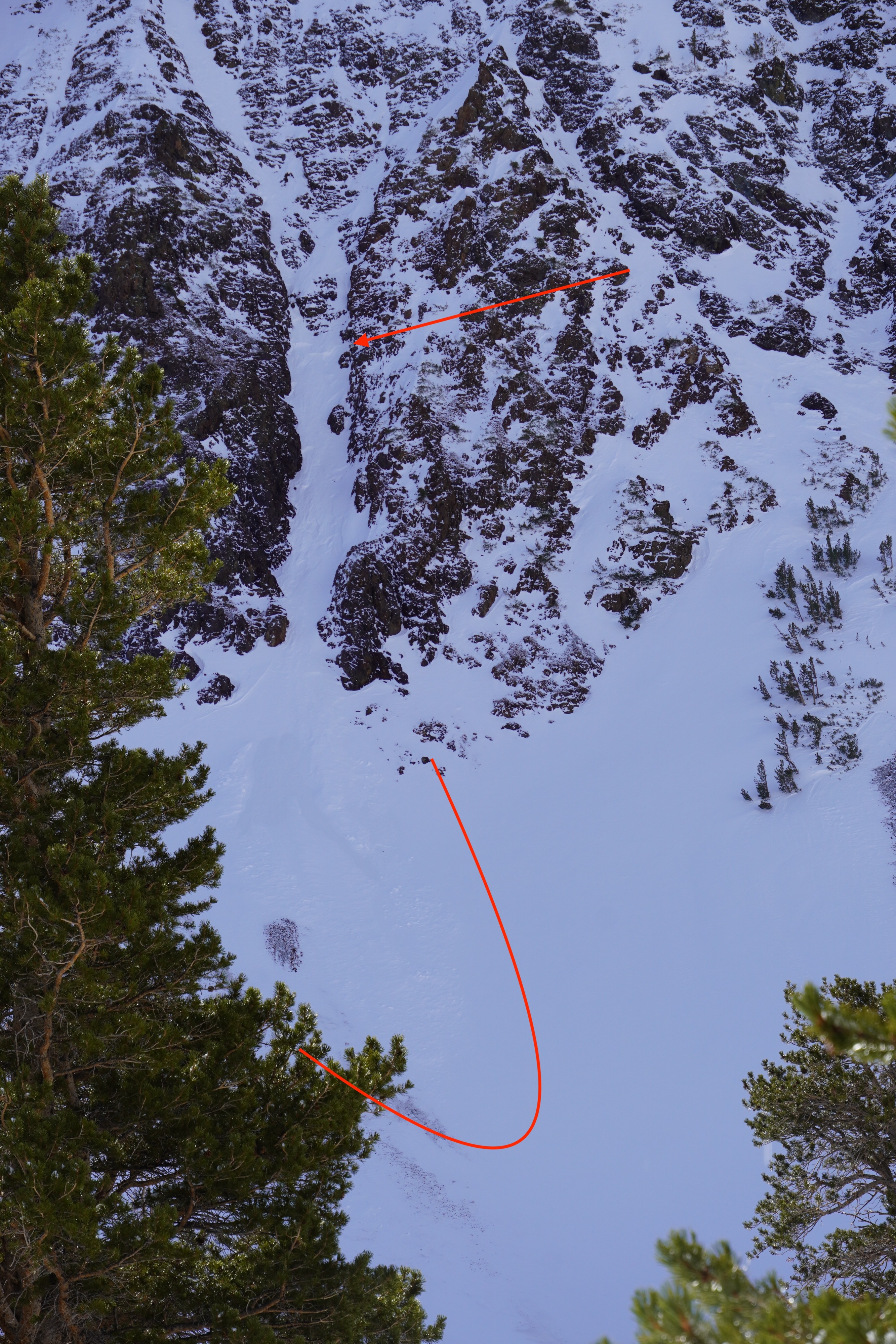
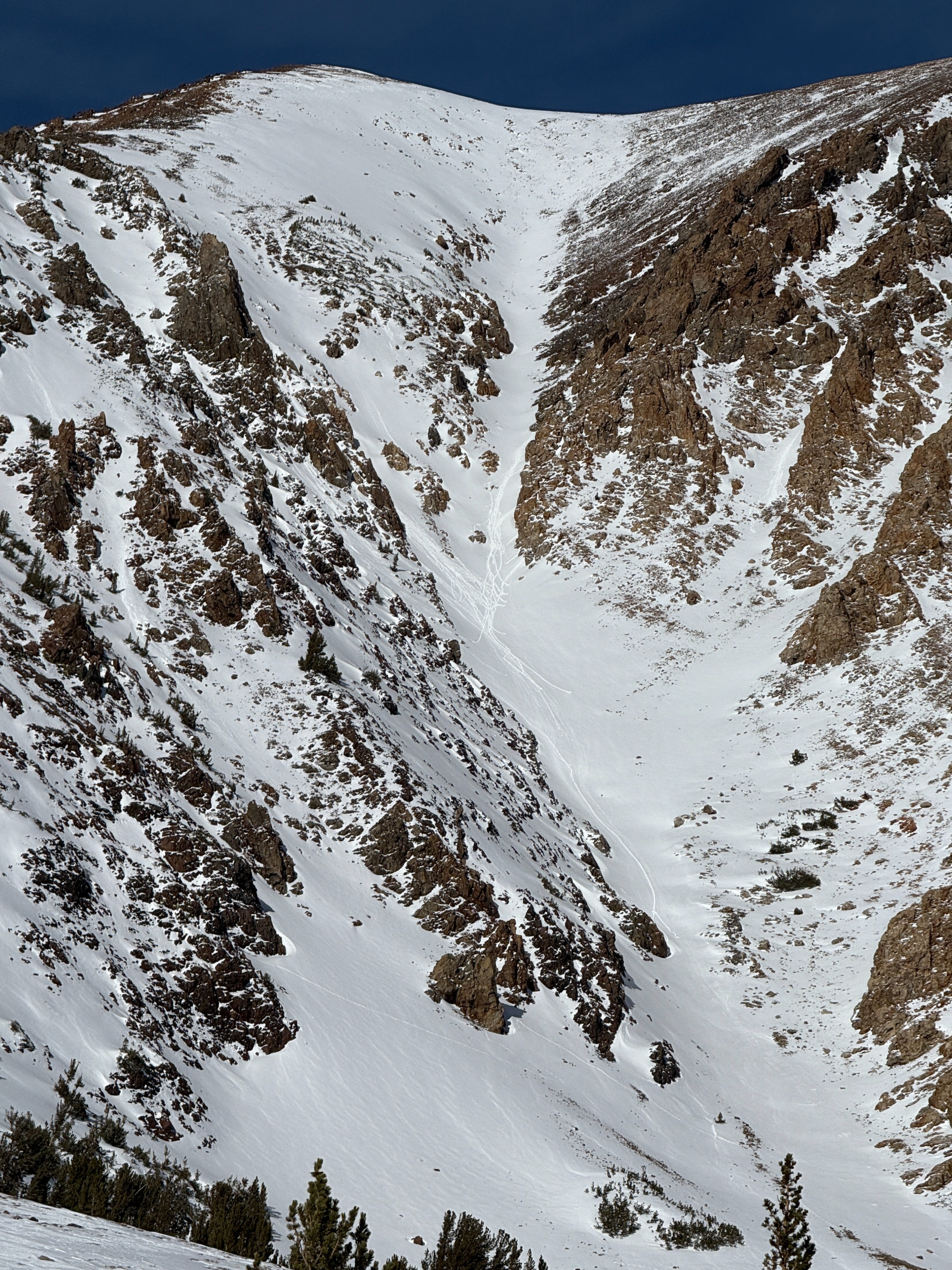
- I saw a couple of areas with fresh debris from small avalanches that likely ran during the loading event on Christmas Eve. (D1)
- I was surprised how fast things warmed up today after such a cold night. Calm winds and mostly sunny skies made for a beautiful day, and some moist snow in areas with direct sun.
- Rollerball fans initiated on the south side of Dunderberg around 11 am while the sun was out. However, the clouds built in the afternoon, limiting the solar warming potential.
- New snow from the 12/24 storm = 15 cm average, up to 25 cm in favored areas in sheltered terrain
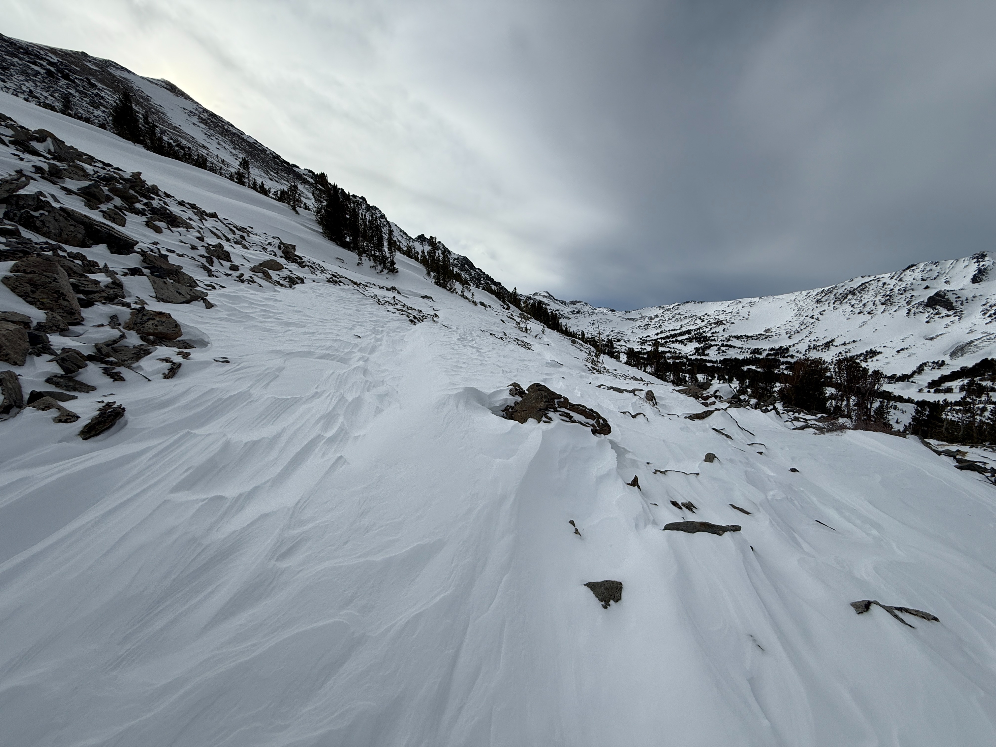
- surfaces are largely wind textured to some degree, though I found pleasant and predictable turns throughout my travels.
- Wind-exposed terrain near and above the treeline is largely stripped to old surfaces or textured and sculpted in areas with more diffused wind exposure.
- I noted moderate amounts of snow available for transport, and as the winds increased in the afternoon, blowing snow became more common at higher elevations.
- Wind deposits from yesterday (12/24) have gained some strength. I noted some cracking on small terrain features, though I would classify these breaks as stubborn. on one more sizable terrain feature, I was not able to initiate a failure, but I dug in and found about 2' of loaded snow (4f+) over the old surface of the wind board (p). the fresh load was uniform in hardness and did not fail under my hasty hand pits.
- All in all, my observations today support a stabilizing trend following our recent storm.
Weather
- Air Temp
- 35
- Cloud Cover
- broken
- Wind Loading
- previous
- Recent Snowfall
- 15
- Snow Avail For Transport
- moderate amounts
Mostly sunny skies this morning with calm winds. Temperatures were quite cold this morning, with overnight lows in the low teens. Temps warmed quickly, and I measured an air temperature of 35° F by mid-morning. Cloud cover became mostly cloudy, and the winds increased to moderate speeds out of the NW by 1 pm.
Snowpack
- Coverage in the area varies depending on aspect and exposure to recent winds, though I found an average of about 1 meter of settled snow in areas with contiguous coverage.
- I dug in around 10,200' on a NE aspect in the Red Lake glades to get eyes on what is changing in the mid-lower snowpack.
- In this location, I noted that the lower snowpack was weaker than I had expected, consisting largely of faceted grains over 1mm in size. I did not see failure in the lower snowpack in either of my snowpack tests. However, I did see propagation on these lower facets with some extra hard hits after concluding my ECT test, so take that for what it is worth. After looking back through some profiles from previous field visits, I am comfortable saying the lower pack in this location appears to be weakening, though this was not concerning for my tour today.
- See Profile for more details.