
Quick report
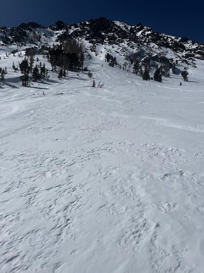
Mt Wood's east slopes provided a good venue to survey surface conditions including snow available for transport at upper elevations in the northern Eastern Sierra today.
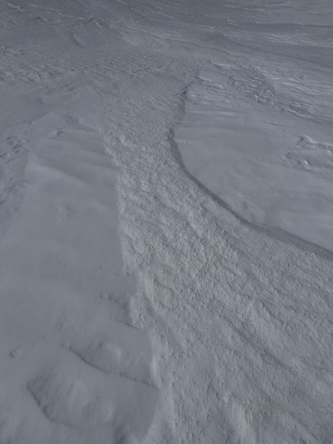
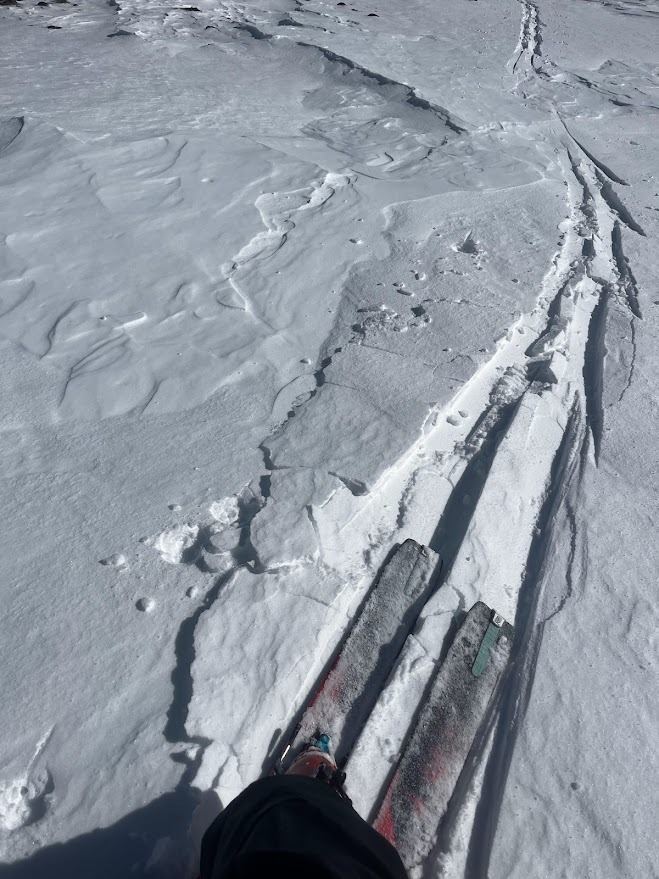
Strong snow in the upper snowpack is evident on all aspects and elevations. I did find some breakable wind crusts on SE and S slopes from the overnight north wind event, but these broke underfoot and did not propagate.
Some of the most valuable information was views of mountains west of the forecast area. By comparison, these saw less wind and more snowfall and there are several remarkable crowns in Yosemite National Park. These might have been enormous wind slabs, but it is also possible they failed on deeper weak layers from early winter.
Weather
- Air Temp
- 26
- Cloud Cover
- few
- Wind Loading
- previous
- Recent Snowfall
- 3
- Snow Avail For Transport
- small smounts
Calm or light winds. Isolated light blowing snow at ridgelines in the early morning, absent in the afternoon as winds decreased. High thin clouds were limiting solar input in the afternoon. Moderately cool temperatures for a sunny day this time of year.
Snowpack
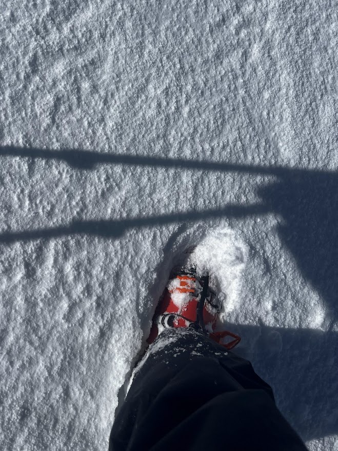
Firm surfaces predominate (Ski pen is limited to 5cm). The trace to 1" of new snow from the past 48 hours is mostly in evidence in pools of incohesive graupel, but in mid-slope concave features there are stretches of smooth deposit up to 5cm (2") thick, mostly acting as a non-cohesive layer, but may transition to breakable wind crust 5 to 10 cm thick and pencil hard in isolated areas. Melt forms are the primary surface form BTL except for on steep north slopes where cool nights, re-faceting, and recent trace snowfall are preserving dry snow. Near the treeline and in the alpine firm wind deposited snow is the primary surface form except on SE where melt forms are mixed in and HS is significantly less with shallow rock reefs interspersed with supportable sun crusts. Boot pen is up to 40cm on north NTL and ATL as previously wind-pressed surface snow is weakening. Multiple thin wind layers between knife hard and F hard exist in the upper 30cm with variation at the terrain feature scale. Wind slabs were very small, isolated, and stubborn to unreactive. Little snow available for transport on S and SW, but there is some.