
Quick report
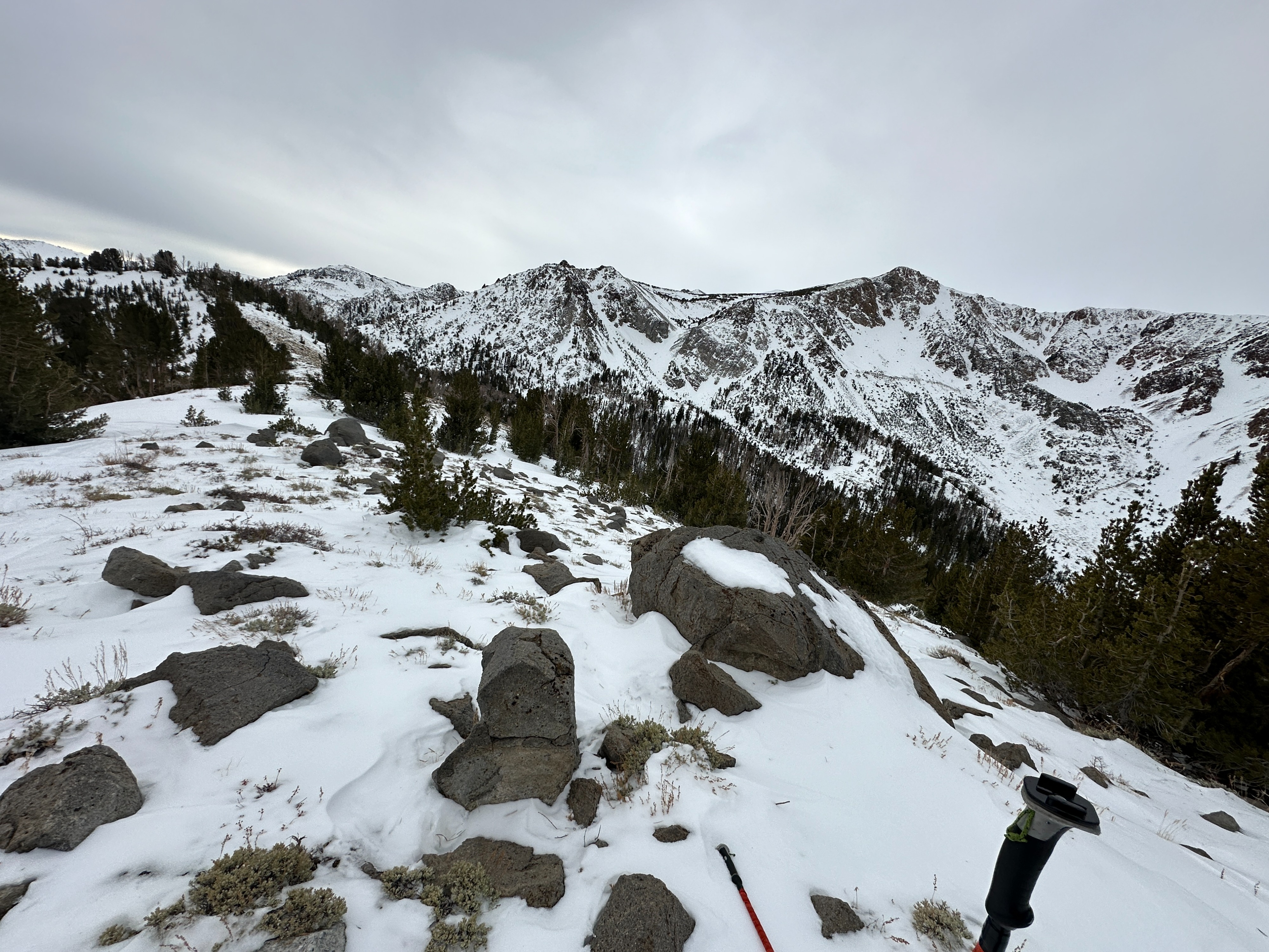
We toured from the top of J7 to get a look at the snowpack in the NTL near the headwaters of Glass Creek.
- Snow depths were measured from 20 -90 cm
- The warm weather and greenhouse effects affected surface snow today. Things got noticeably more heavy throughout the day in areas with loose surface snow.
- More solar aspects contain thin coverage broken by brush and rocks and a moderately stiff melt-freeze crust
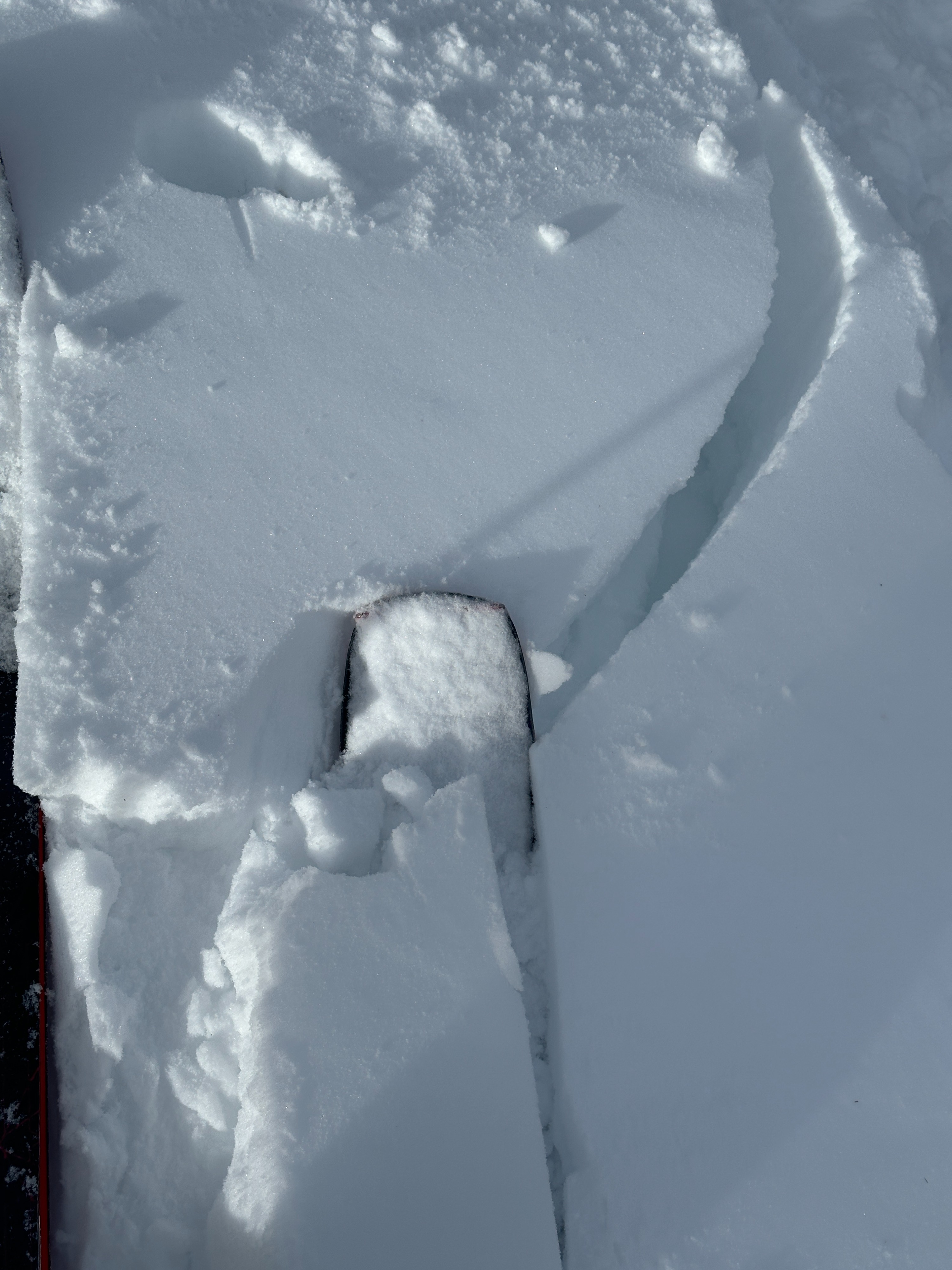
- Wind deposits that formed near treeline over the last three days would be best described as stubborn. Some cracking was observed on test slopes after being undercut. These wind slabs were mostly thin and small 4f+/F and measured about 6 inches thick
- No signs of instability or recent avalanche activity were observed on our travels today
Weather
- Air Temp
- 39
- Cloud Cover
- overcast
- Wind Loading
- none
- Snow Avail For Transport
- small smounts
It was quite warm today with some greenhouse effects due to full cloud cover. WInds were mostly calm with only the occasional light breeze.
Snowpack
We dug in in two locations near treeline one pit location was on a west aspect around 9700' and another on a NE aspect at 10000'.
- Overall, we observed less concerning results than have been seen over the last couple of weeks.
- In both pits, we noted an increase in hand hardness from F to 4F in the 1/02 Facets, and we observed rounding in the grains. (The snowpack is moist in the upper snowpack which could explain some of this rounding.)
- Depth hoar at the base of the snowpack was highlighted as our layer of concern. (CTE SC and multiple ECTP results with hits from the shoulder)
- Notable decrease in ski and boot penetration from the last visit to this terrain.
- See profiles for more information