
Quick report
We found generally safe, spring-time conditions in the mountains today. Surface softening was confined to wind-sheltered slopes and areas below about 6,000 feet. This was the result of steady winds and increasing cloud cover in the afternoon. Sunny slopes at lower elevations have taken a big hit from warm temperatures and abundant rainfall reducing the places for larger avalanche concerns around 5,000 feet and lower.
Small avalanches when snow transitioned to rain during the afternoon on March 24.Weather
- Cloud Cover
- few
- Wind Loading
- previous
- Snow Avail For Transport
- small smounts
Clear skies transitioned to partly cloudy skies. Moderate winds along ridgelines and in exposed terrain above 6,000 feet. Temperatures warmed just enough to soften the snow surface in wind-sheltered areas.
Snowpack
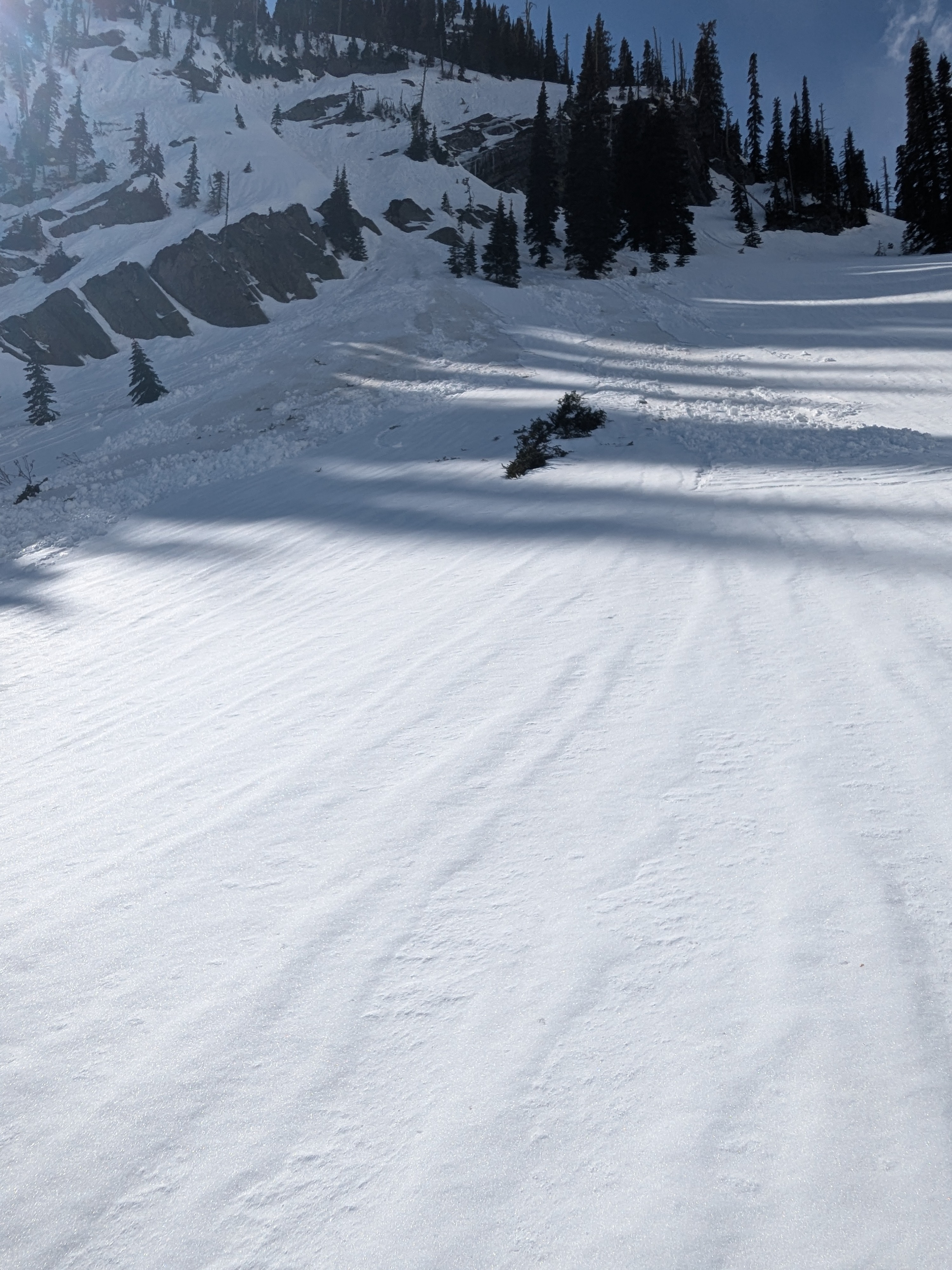
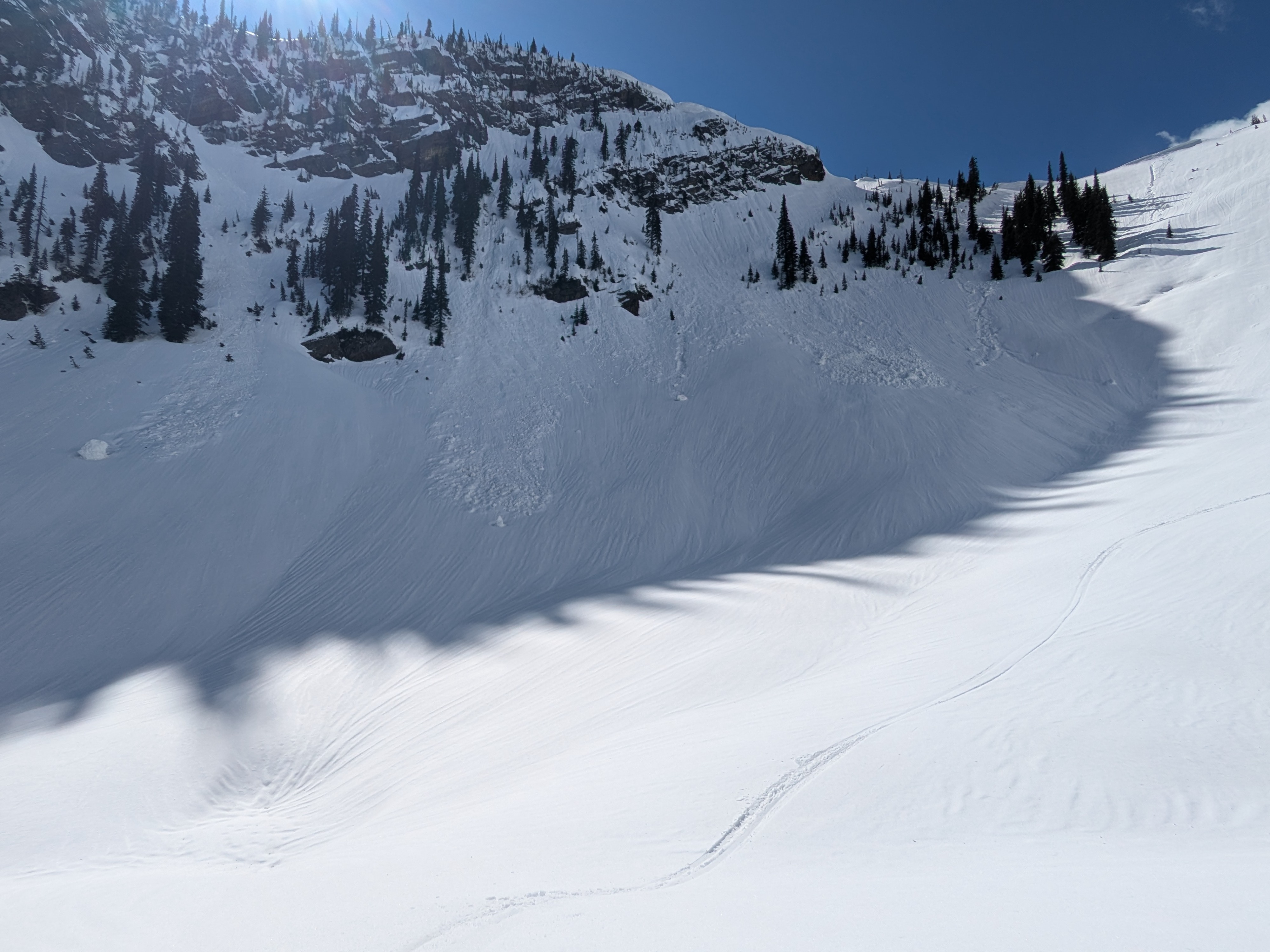
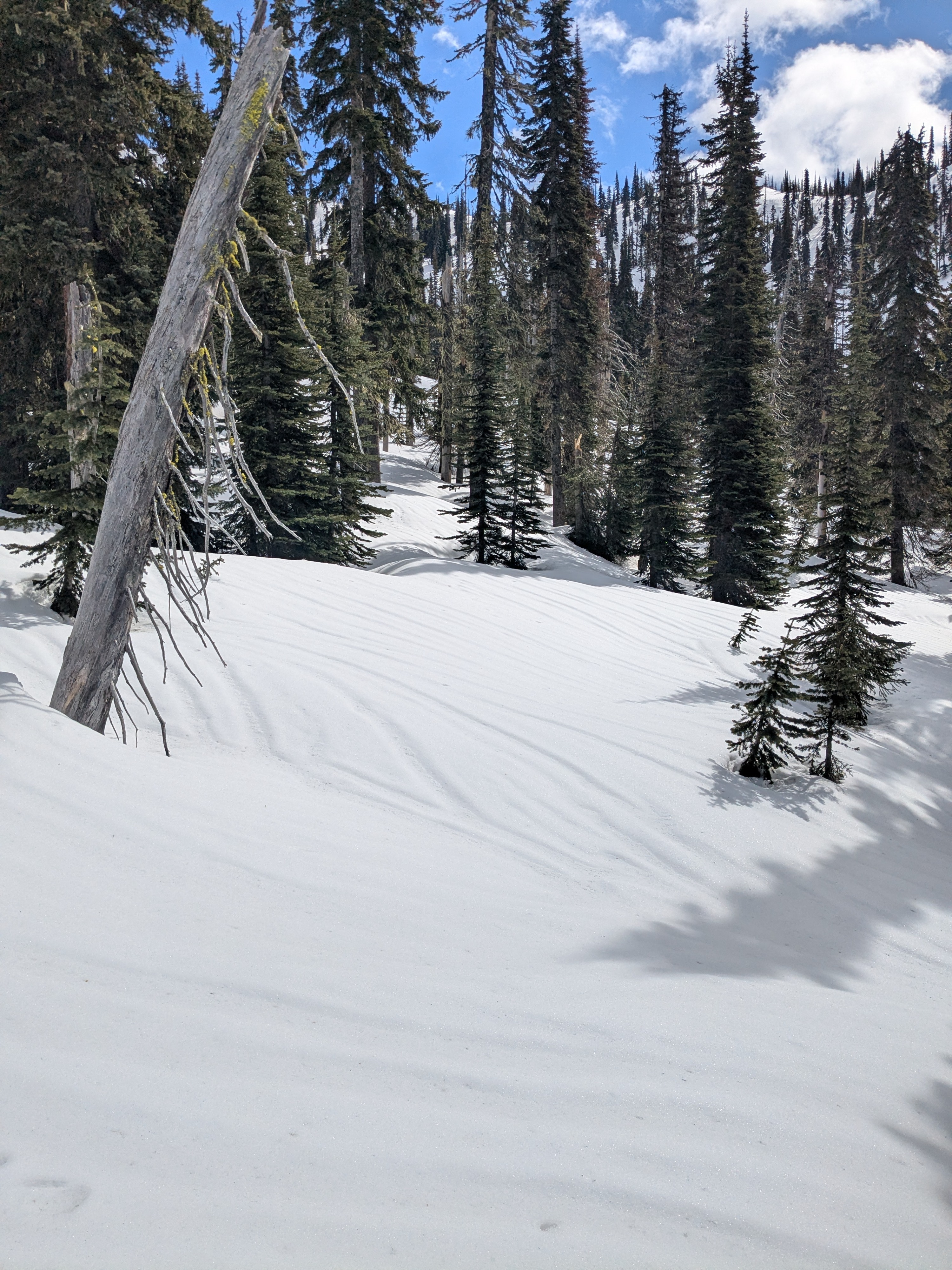
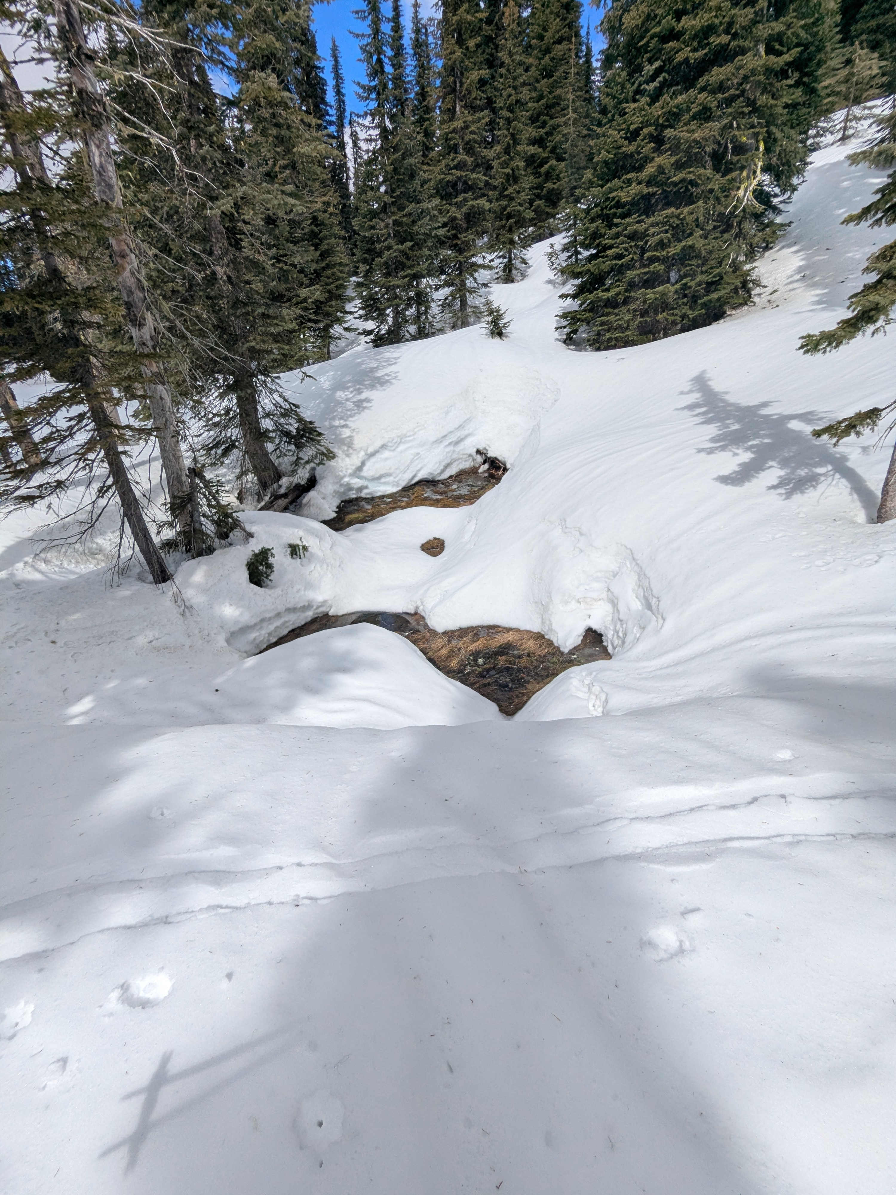
We found firm, refrozen snow surfaces across elevations and aspects. This made for fast, efficient over-the-snow travel. Evidence of the March 24 to 25 snow-to-rain transition presented itself up to our top elevation just shy of 6,800 feet. Thickness and hardness of this rain crust varied across aspects and elevation, being more robust on shady slopes and thicker between 5,500 and 6,000 feet - above that it became more breakable. We observed north aspects with dry snow directly underneath and south aspects moist to wet snow directly underneath the surface crust. Recent snowfall amounts were generally 10 to 15 cm deep and elevations above 5,800 feet had evidence that rain transitioned back to snow with cold front passage early on March 25. But these amounts did not form new, shallow dry snow hazards where we traveled. Most of the recent wet activity we observed was from last week's prolonged rainy period but a few smaller slides did run from the March 24 rain wetting recent snowfall. These slides sheeted off the harder refrozen mass below and could be an indication of the type and size of wet hazards that could emerge with more sun, warmth, and less wind. The harder refrozen mass below will likely take extensive warmth and/ or rain to soften enough to pose deeper or larger wet snow concerns. When stepping off our skis, the refrozen layers below was supportive and we only punched to boot tops near exposed rocks, trees, and near ridgelines with shallower depths from wind-scouring. Be mindful of all the opening water and weakening snow bridges as these can pose non-avalanche hazards to ruin your day during spring recreation.
Avalanche
- Size
- D2
- Type
- WS
- Count
- 5
- Aspect
- NE
- Trigger
- N
- Elevation
- 6500 ft
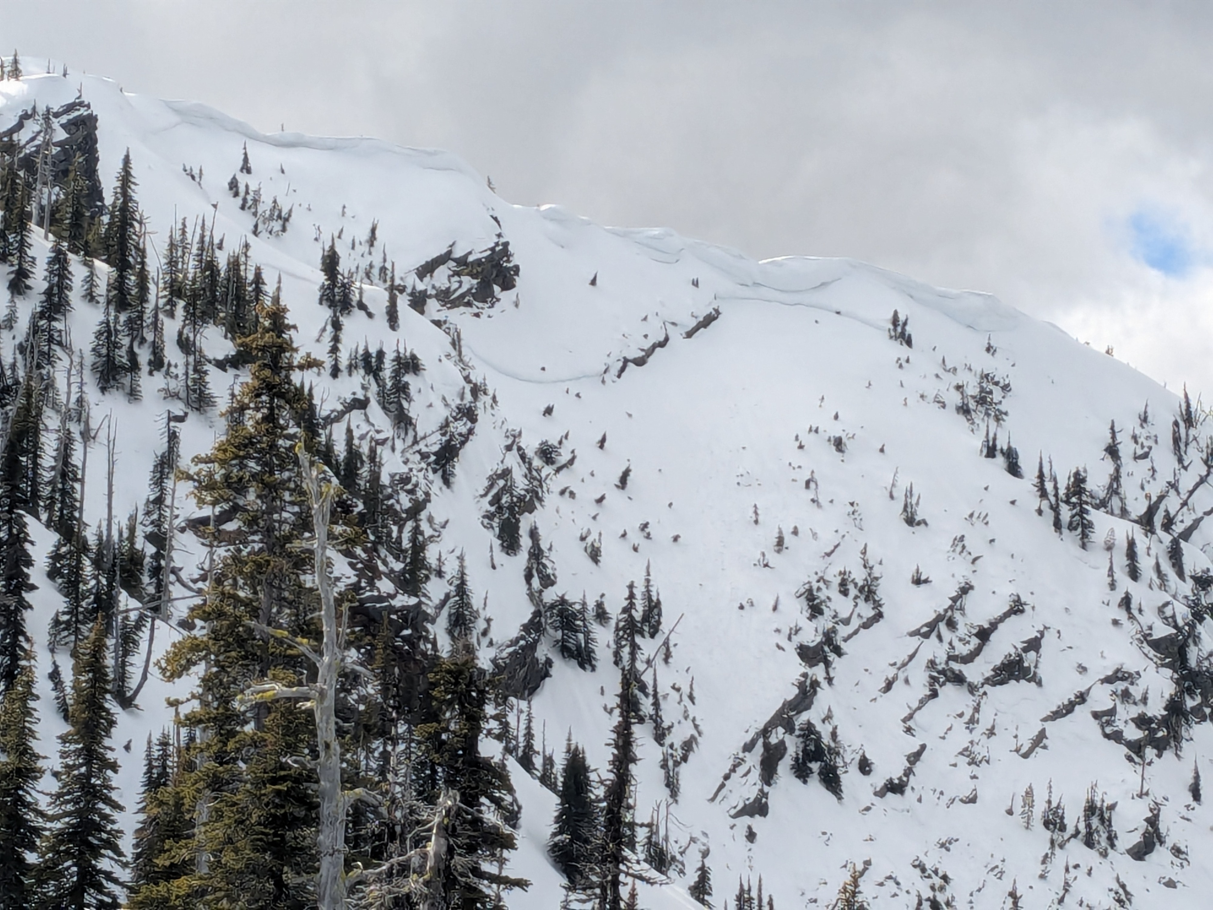
Several older wet snow slides likely triggered from steady rain-on-snow between March 17 and 21. A large, pushing very-large, avalanche that likely failed around March 12 during a prolonged period of heavy snowfall.